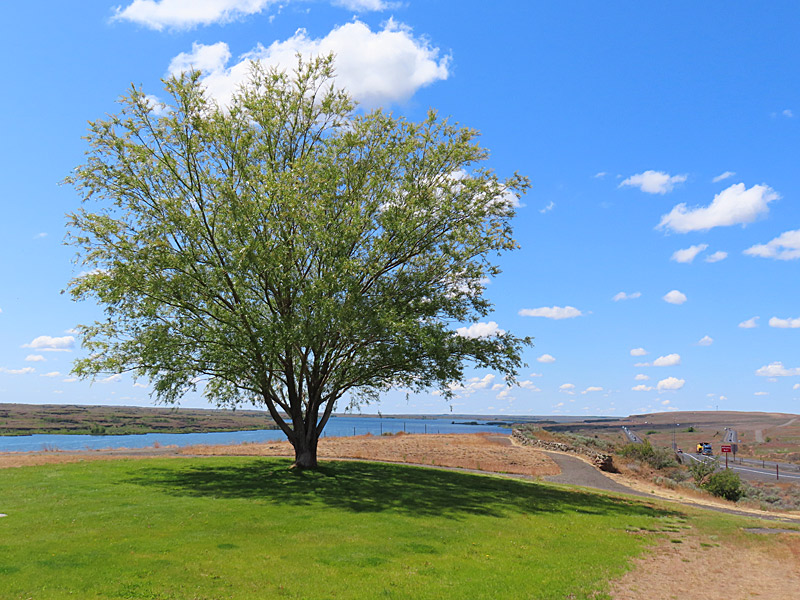
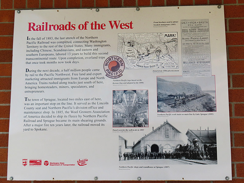
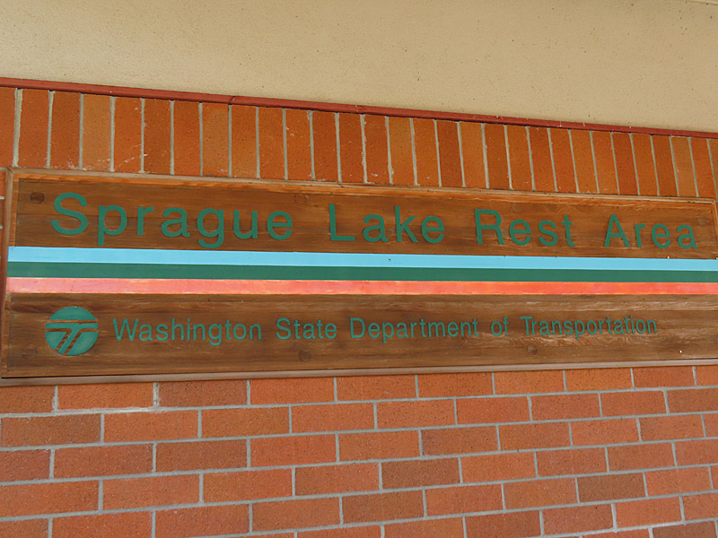
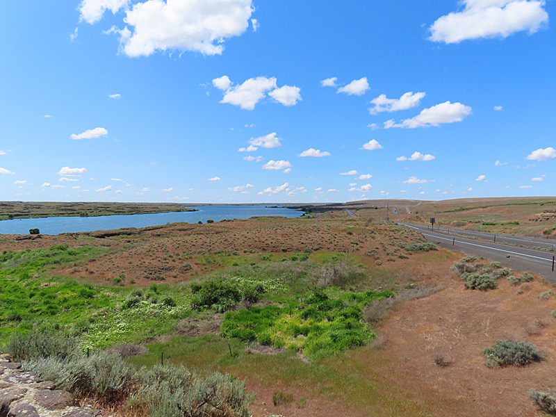
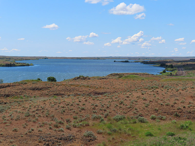
Sprague Lake Rest Area in eastern Washington State is about 40 miles west of downtown Spokane. – photo by Joe AlexanderYou hit the Sprague Lake Rest Area about a half hour before you roll into Spokane on Interstate 90. The long, thin Sprague Lake runs roughly parallel to the interstate for about six miles.
According to the Washington Department of Fish and Wildlife, this is a good place to fish for rainbow trout, largemouth bass, bluegill, brown bullhead and channel catfish.
This part of the Washington state wasn’t as scenic as the western half of the state – but there wasn’t a lot of traffic and it was a pleasant drive.
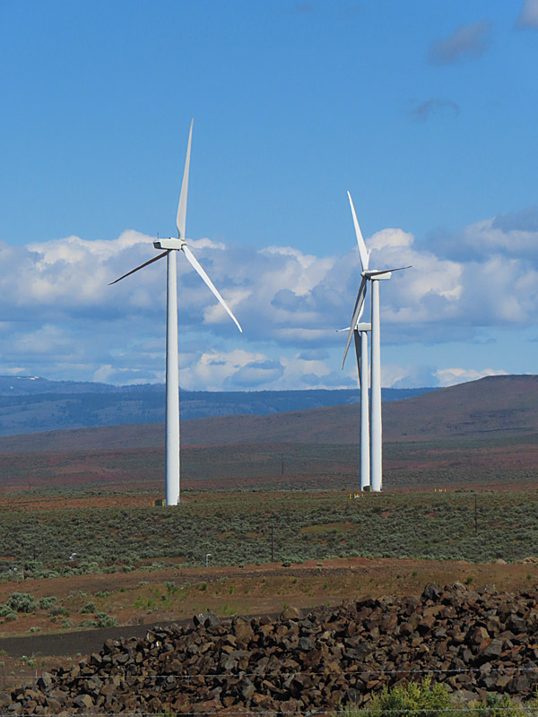
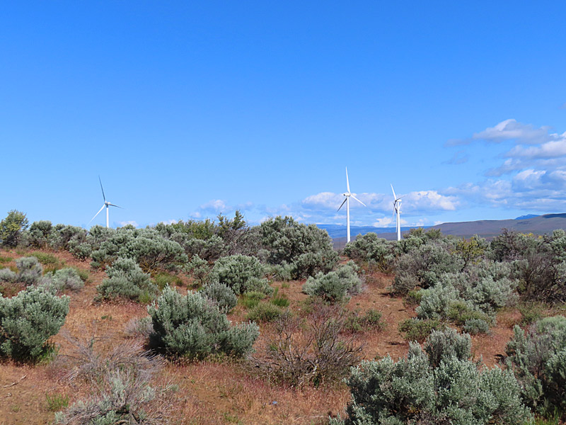
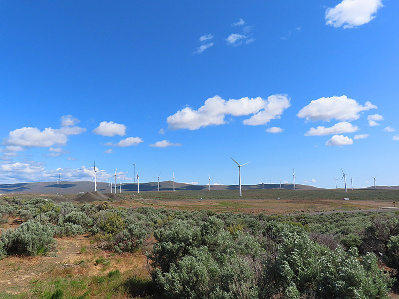
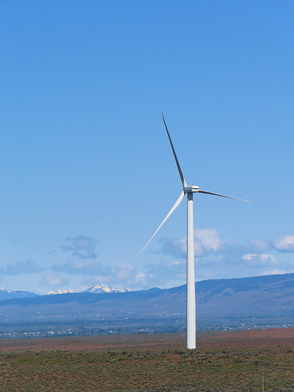
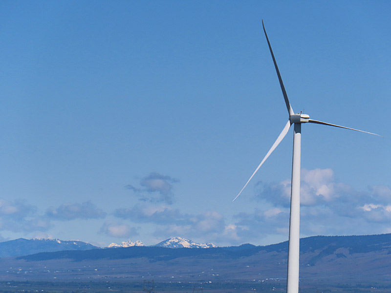
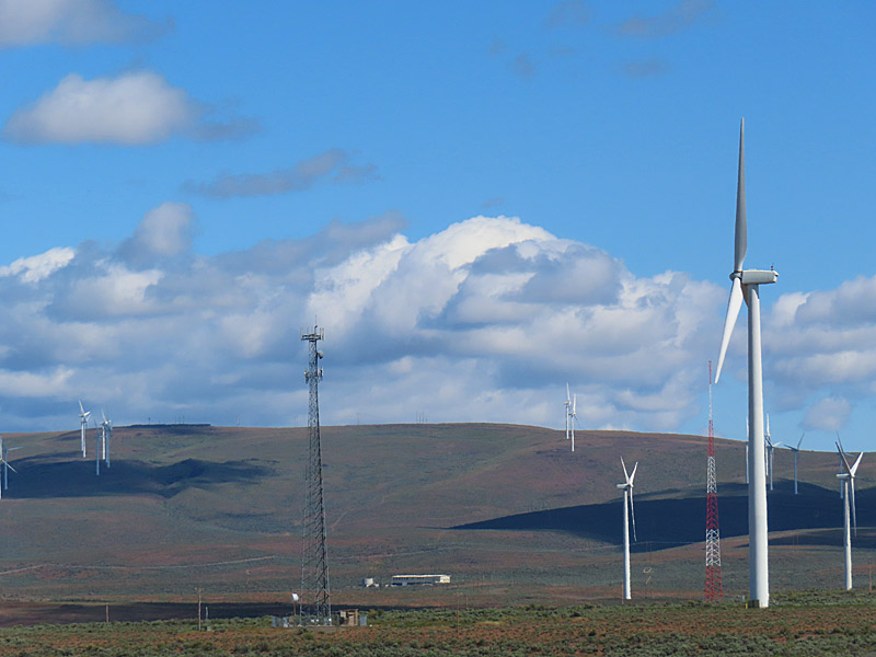
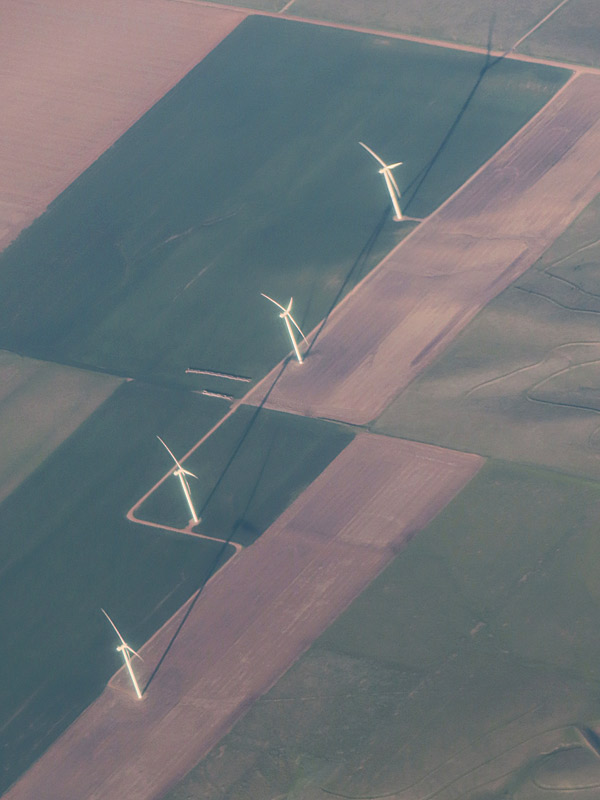
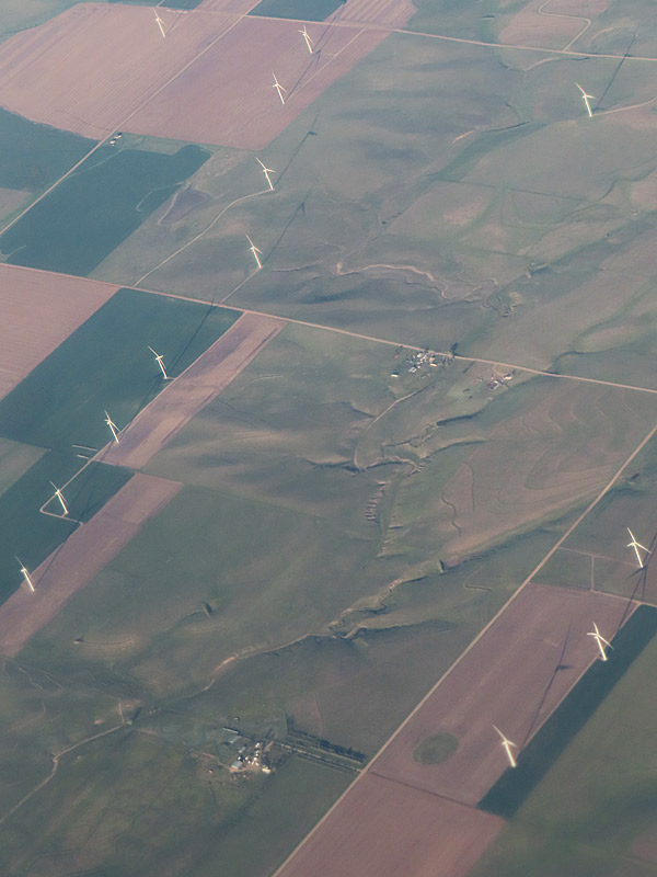
Windmills (wind turbines) near Interstate 90 in central Washington State. – photo by Joe AlexanderI’ve always been intrigued with windmills.
The giant wind turbines that generate electricity in parts of this country don’t have the same kind of character as the windmills I sometimes still see that pump water in rural Texas.
But the contrast between the nearly all white wind turbines set against the terrain and sky can be dramatic.
These were near Interstate 90 and I know I was east of Ellensburg, Washington. Looking at Google Maps, it looks like the PUD Wind Farm and Wild Horse Wind and Solar Facility are in this area.
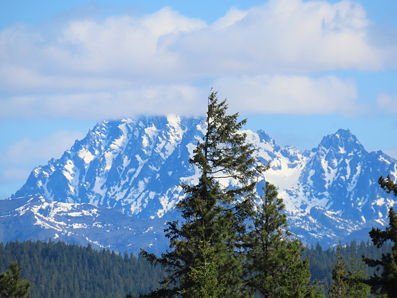
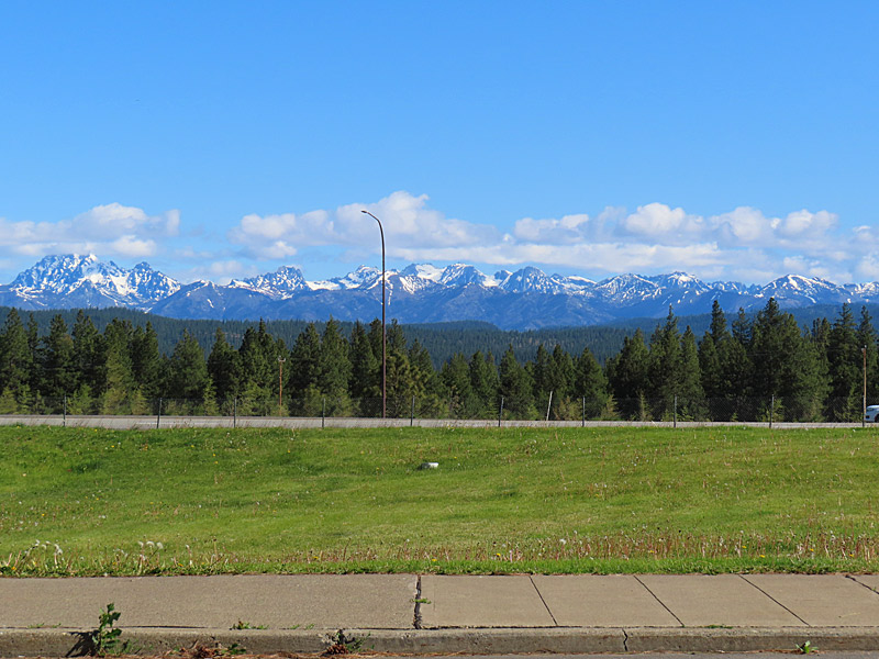
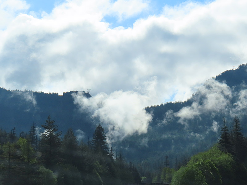
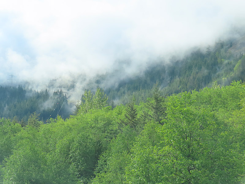
The peaks of the Alpine Lakes Wilderness in Washington State still had some snow in late May and are visible to the north of the Indian John Hill Rest Area along Interstate 90. – photo by Joe AlexanderDriving Interstate 90 through the western half of Washington State offers plenty of scenic views.
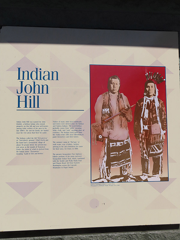
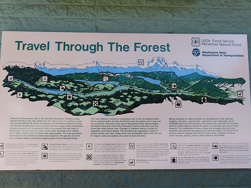
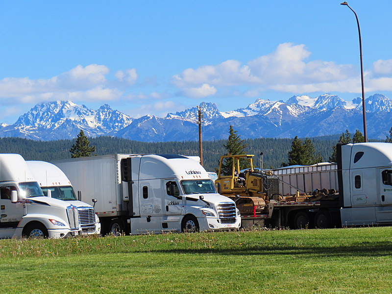
The Indian John Hill Rest Area about 200 miles east of Seattle a place to stop and take pictures, as well as stretch your legs and get a cup of coffee.
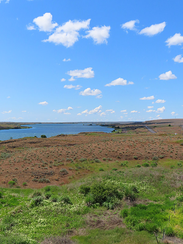
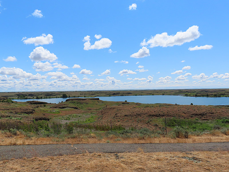
Indian John Hill Rest Area
Indian John Hill Rest Area
Indian John Hill Rest Area
Indian John Hill Rest Area
The peaks of the Alpine Lakes Wilderness in Washington State.
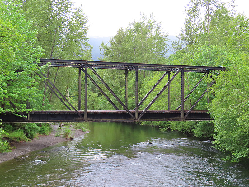
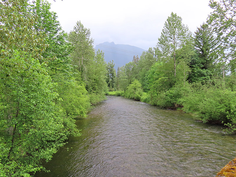
Bridge 35 across the South Fork Snoqualmie River near North Bend, Washington, in May 2025. – photo by Joe AlexanderThis is the South Fork of the Snoqualmie River near North Bend, Washington, including railroad Bridge 35.
The South Fork joins the main Snowqualmie River just north of North Bend.
The Snoqualmie River is 45 miles long and runs roughly southeast to northwest in western Washington State and passes not from North Bend and Interstate 90.
The “Welcome to Twin Peaks” sign from the TV show was on the north side of the main river by the Three Forks Natural Area a mile or two north of North Bend and right across from where the South Fork flows into the Snoqualmie.
The South Fork Snoqualmie River near North Bend, Washington, about 30 miles east of Seattle, in May 2025.
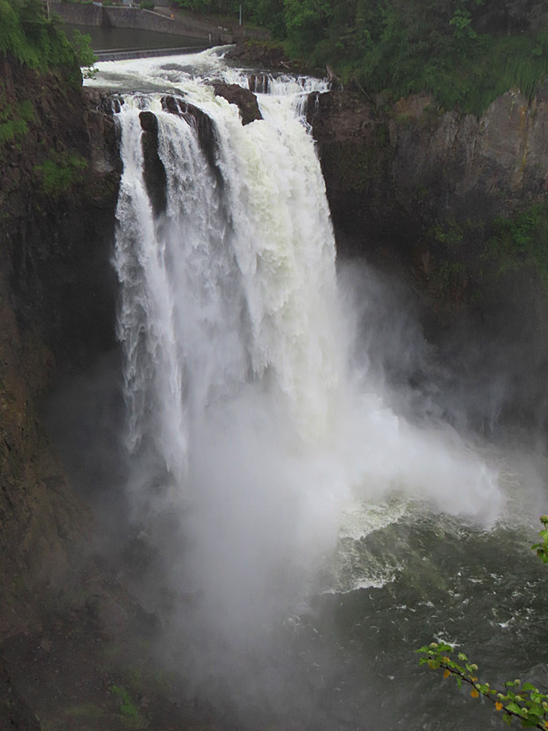
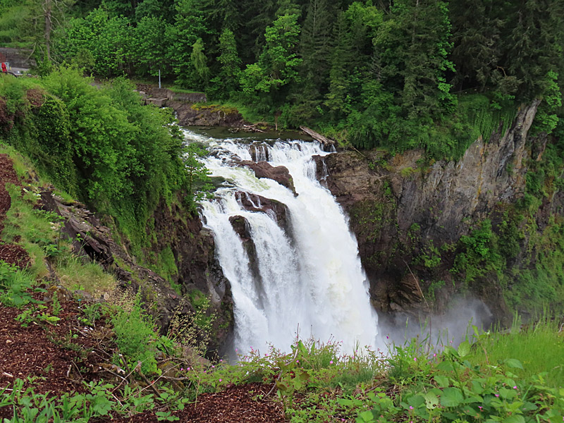
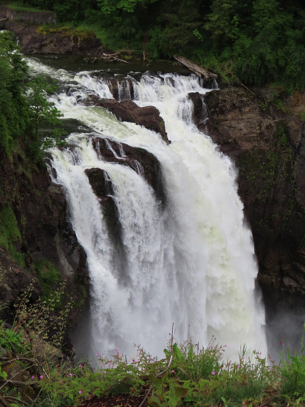
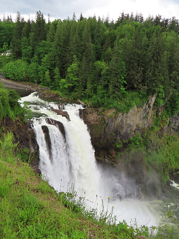
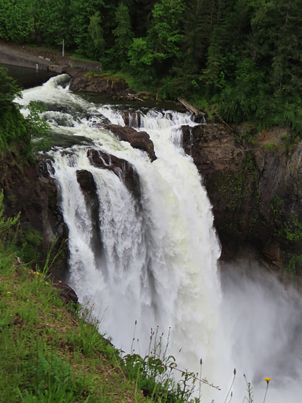
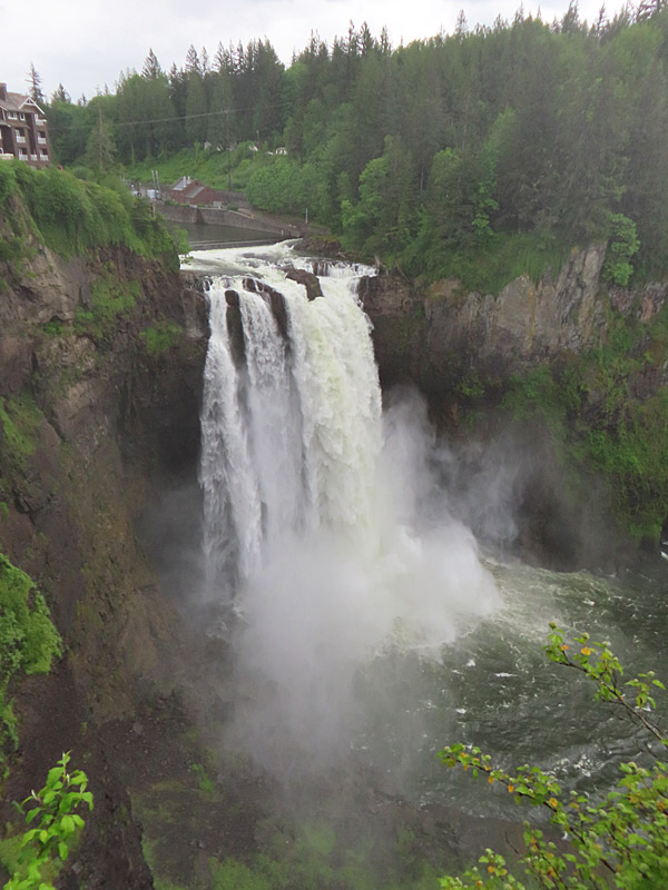
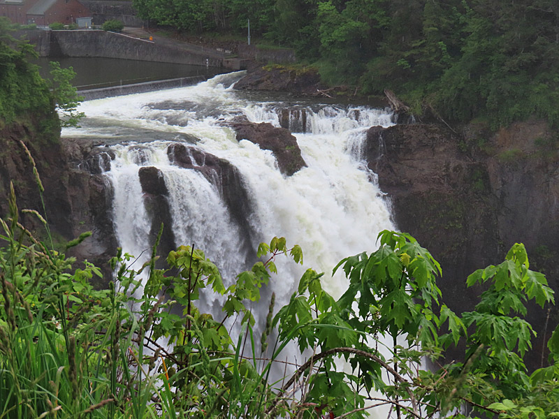
Snoqualmie Falls on the Snoqualmie River in western Washington state about 35 miles east of Seattle in May, 2027. – photo by Joe AlexanderSnoqualmie Falls is a beautiful and easy to reach stop not far from the nearest highway.
To get to the 270-foot waterfall, there is a walkway from the parking lot to a great viewing area.
Snoqualmie Falls in on the Snoqualmie River and is just off Interstate 90 a little more than a half hour drive east from Seattle.
Once you leave the interstate, its just a quick drive north on the Snoqualmie Parkway.
You can also reach Snowqualmie Falls by driving northwest from North Bend, Washington, on Snowqualimie-North Bend Road.
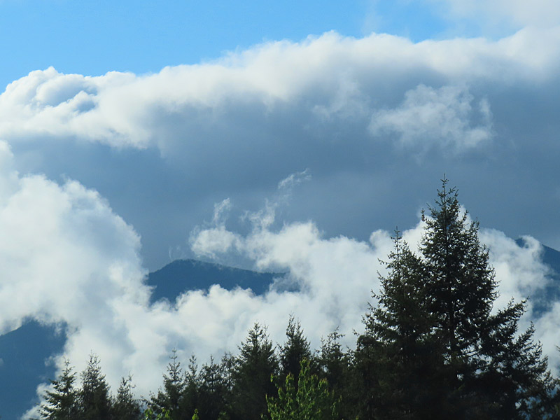
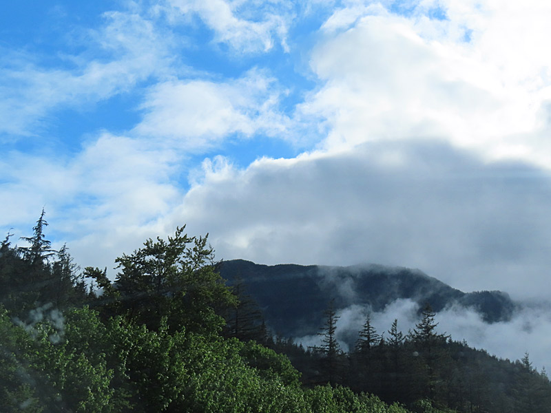
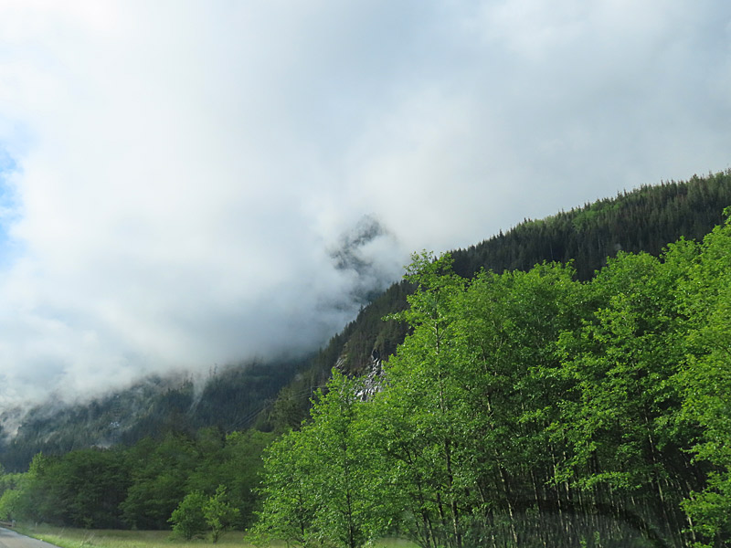
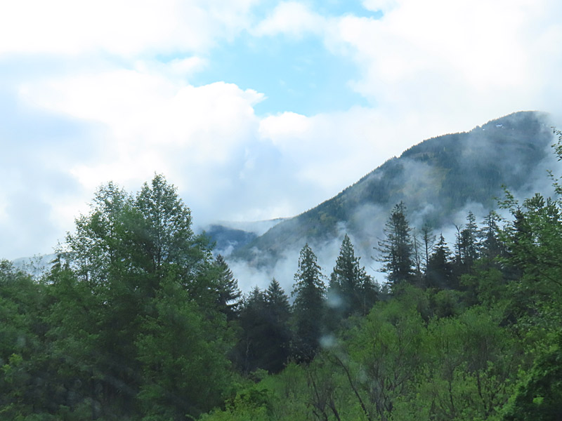
Scenery in western Washington state not far from Seattle. – photo by Joe AlexanderWashington state is known as much for its rainy and cloudy weather as for grunge and apples.
The combination of evergreen trees up close, mountains farther in the distance and clouds can give you some interesting colors and moods.
If you’re lucky enough to get some blue sky mixed in, so much the better.
Washington state
Washington state
Washington state
Washington state
Scenery in western Washington state not far from Seattle.
Tall wind turbines as seen from the air on a sunny morning in Colorado shortly before descending into Denver International Airport. – photo by Joe AlexanderMy latest trip started off with a morning flight into Denver to make a connection.
We were flying north and I was sitting in a left-side window seat. Not long before we got to Denver, I saw a large wind farm – making it roughly south to southeast of Denver. At that time of day, the windmills (technically wind turbines) cast long shadows that you could see from the air.
I don’t know which wind farm this was. Checking with Google, the largest wind farms in that area are the Rush Creek Wind Project and the Limon Wind Energy Center.
Tall wind turbines as seen from the air on a sunny morning in Colorado shortly before descending into Denver International Airport.
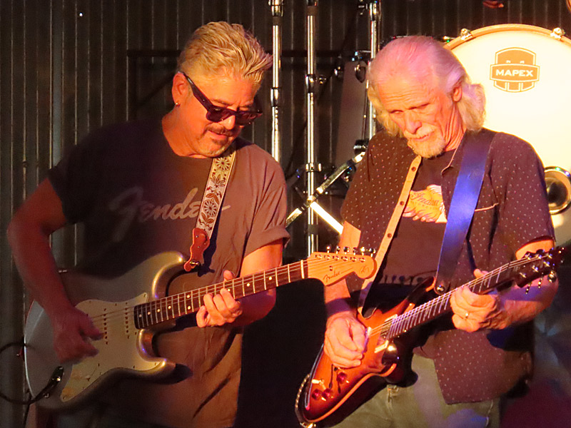
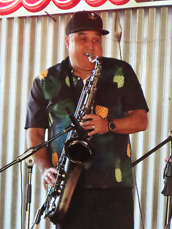
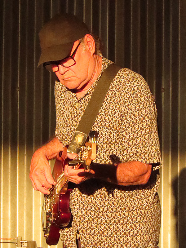
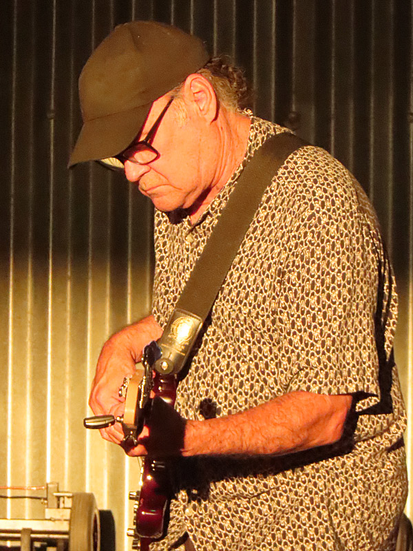
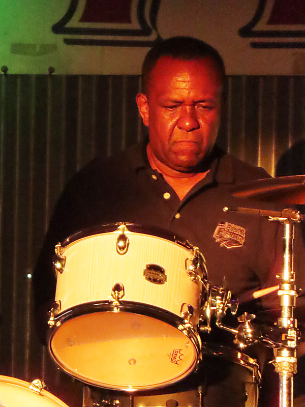
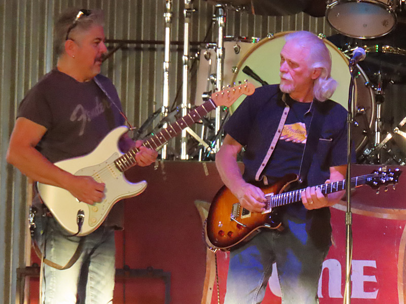
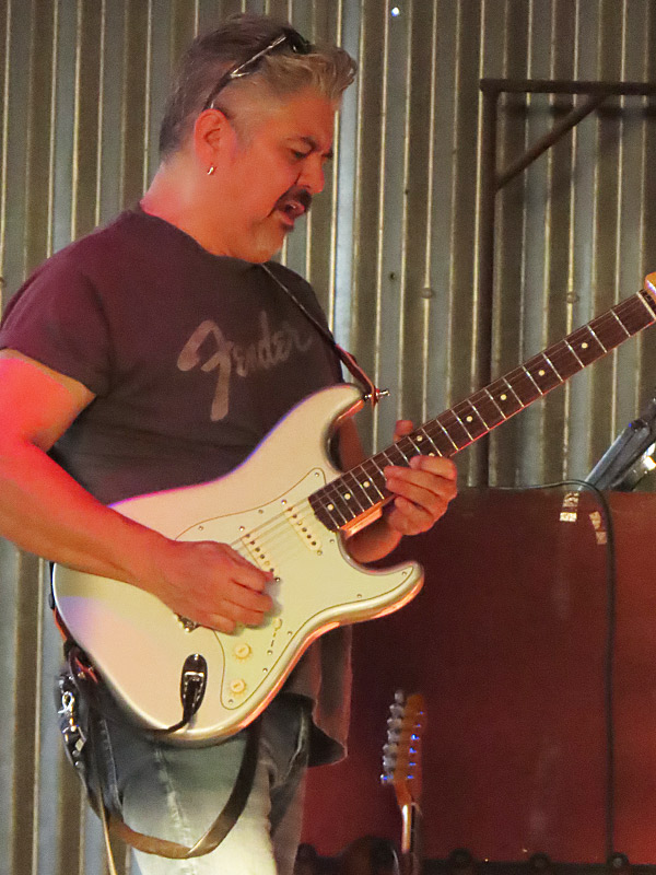
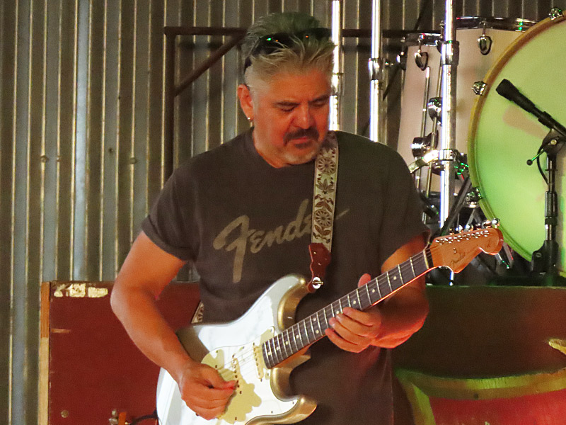
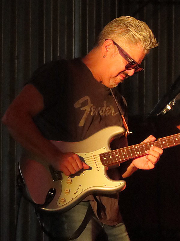
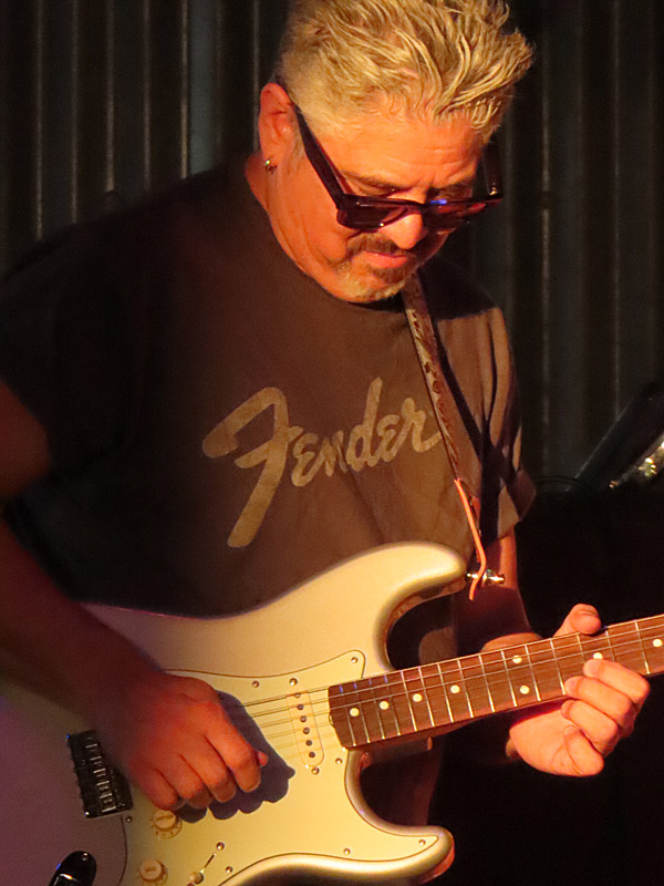
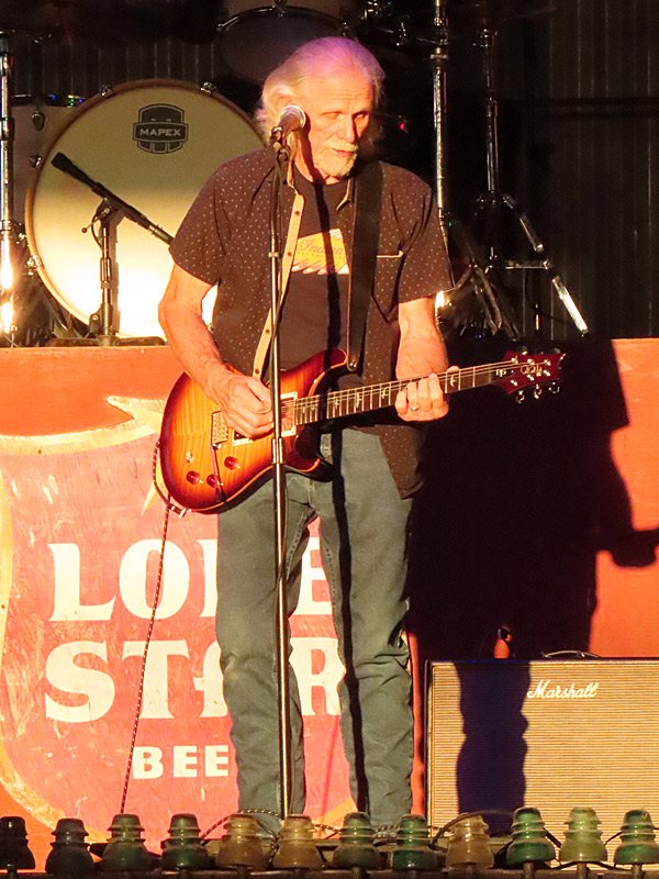
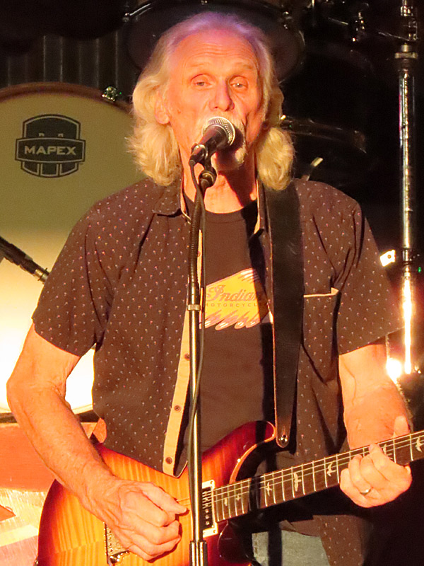
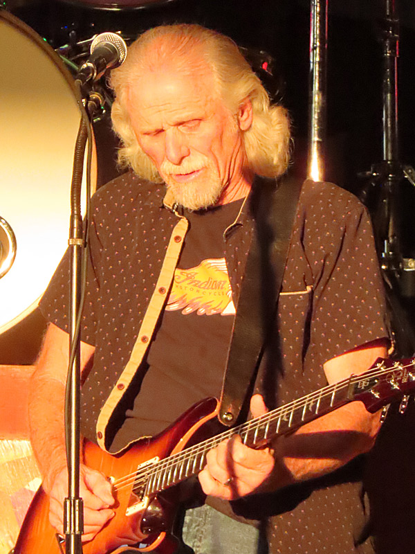
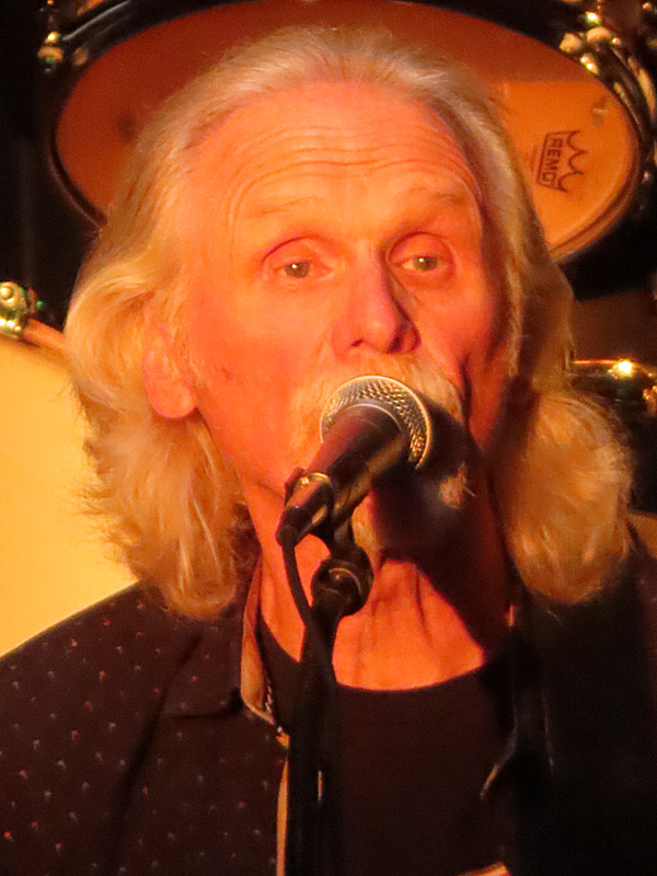
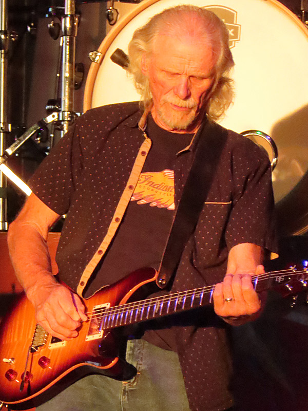
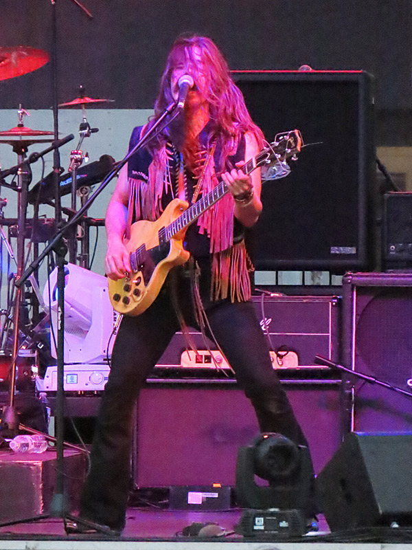
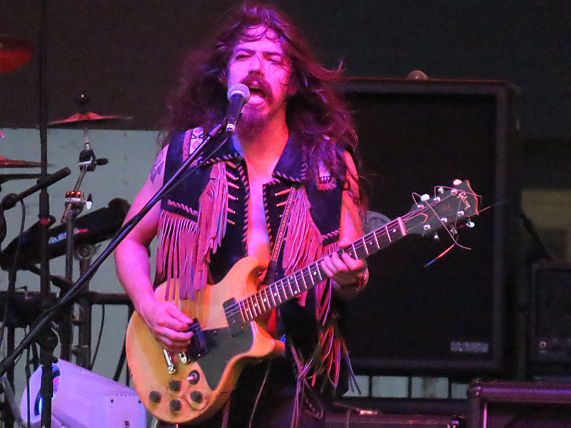
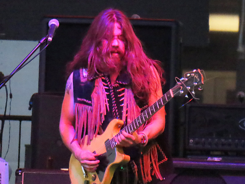
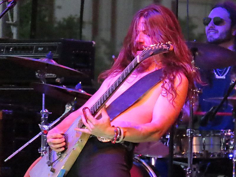
Ruben V and Jimmy Spacek on Saturday night at Texas Pride Barbecue in Adkins, Texas. – photo by Joe AlexanderSan Antonio guitar legends Jimmy Spacek and Ruben V got together with some old friends on Saturday.
They played an evening show at Texas Pride Barbecue in Adkins, Texas. Shortly after they started, the setting sun beamed onto the stage for a few minutes.
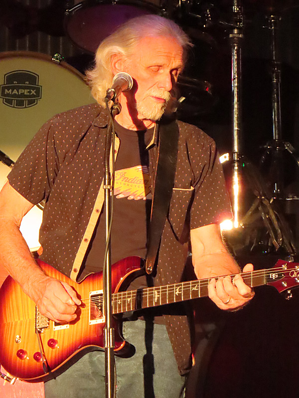
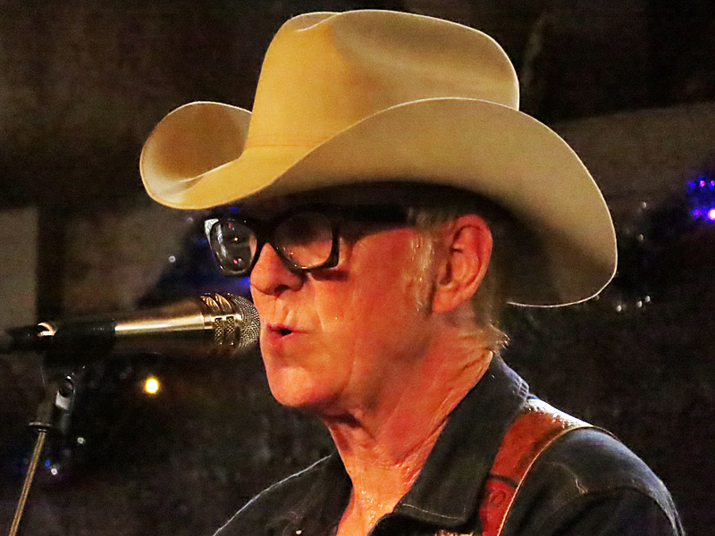
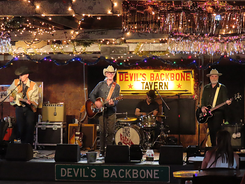
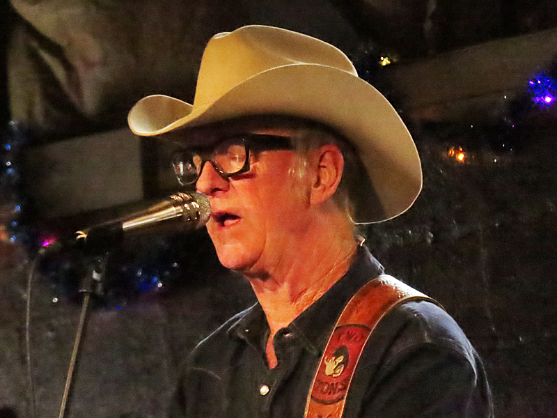
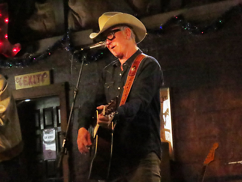
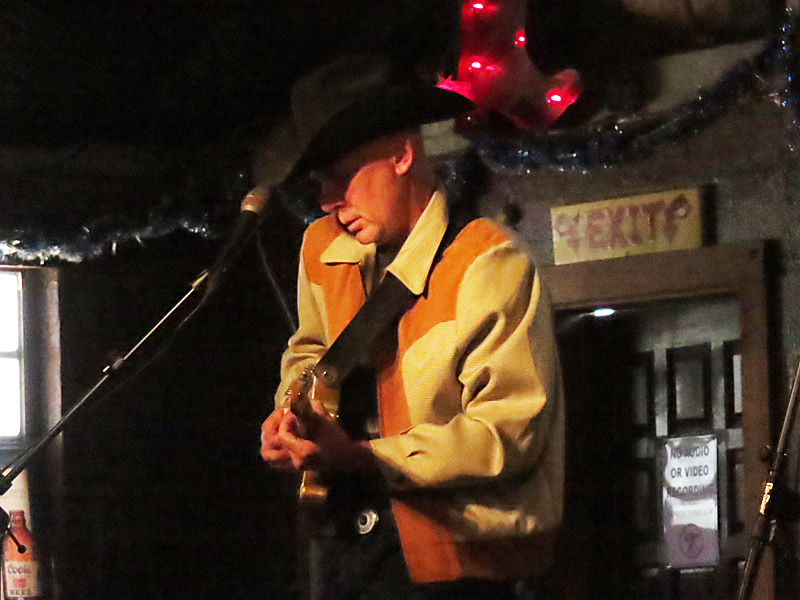
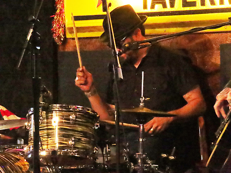
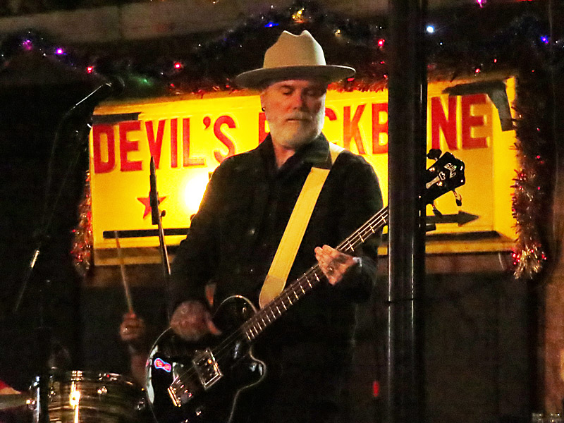
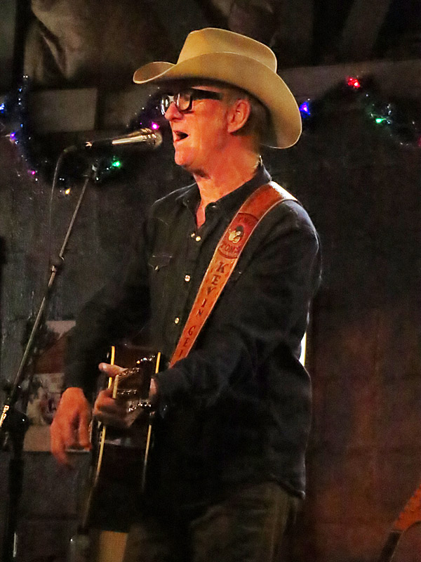
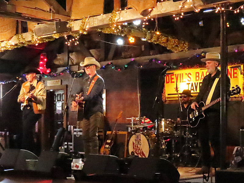
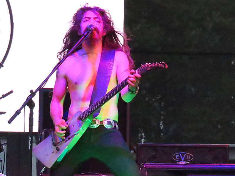
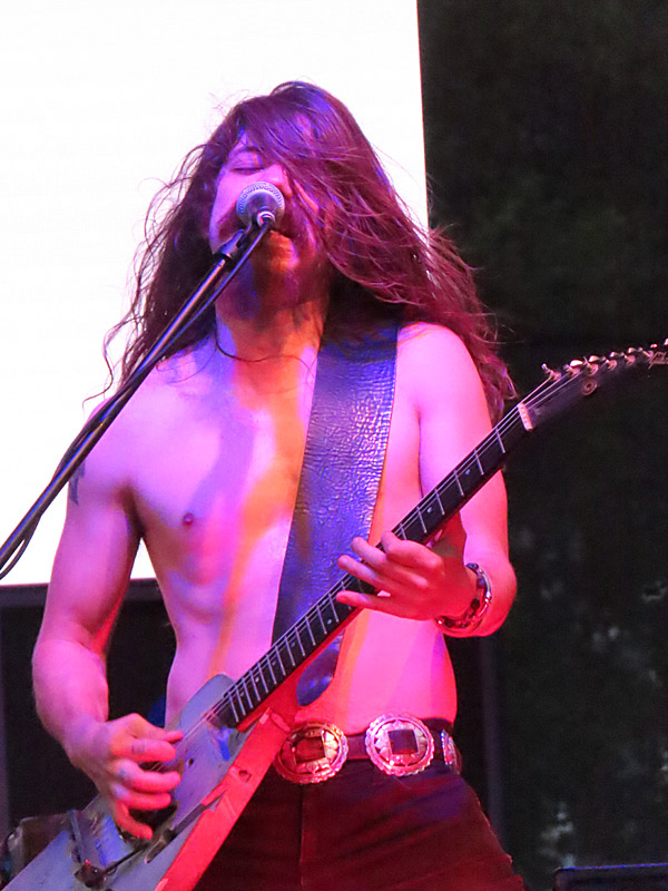
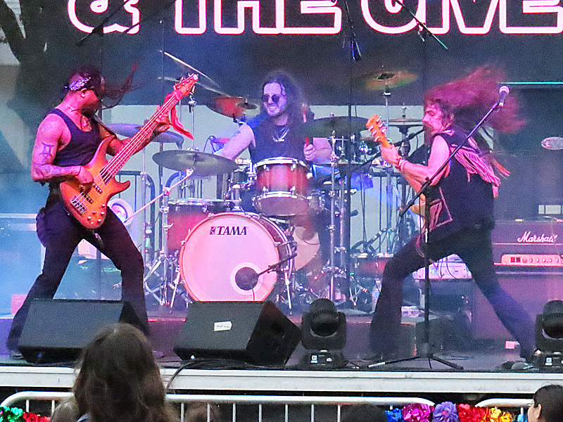
Lead singer Kevin Geil of Two Tons of Steel at Devil’s Backbone Tavern near Fischer, Texas, on Sunday, May 4, 2025. – photo by Joe AlexanderLegendary Texas roadhouse band Two Tons of Steel played at Devil’s Backbone Tavern near Fischer, in the Texas Hill Country, on Sunday afternoon.
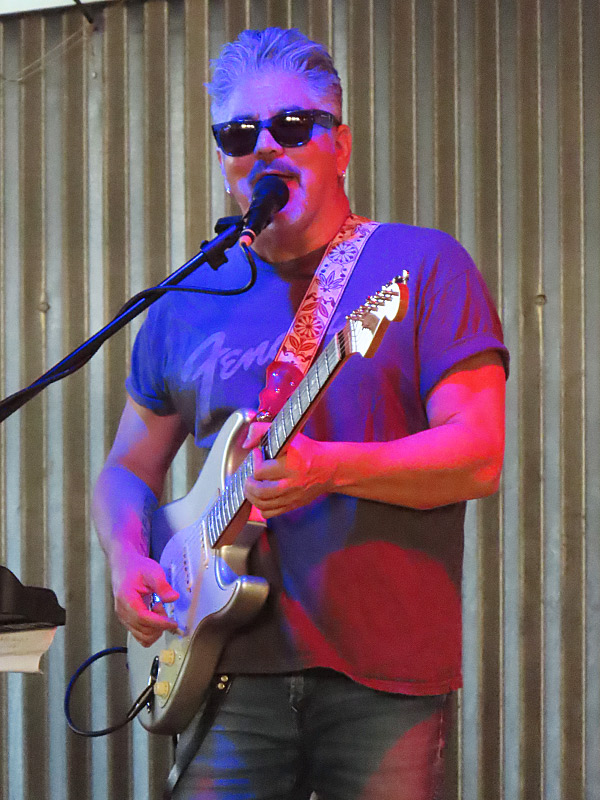
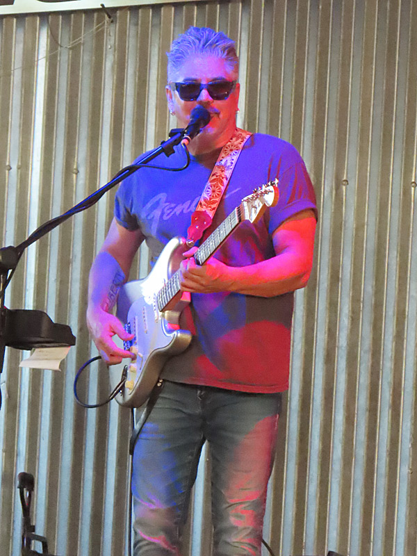
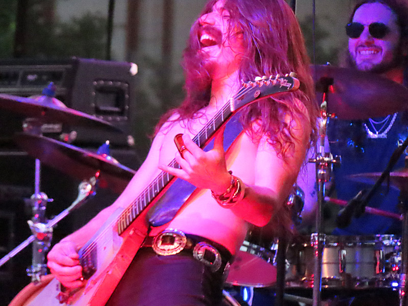
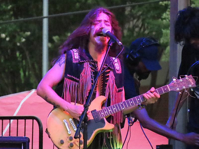
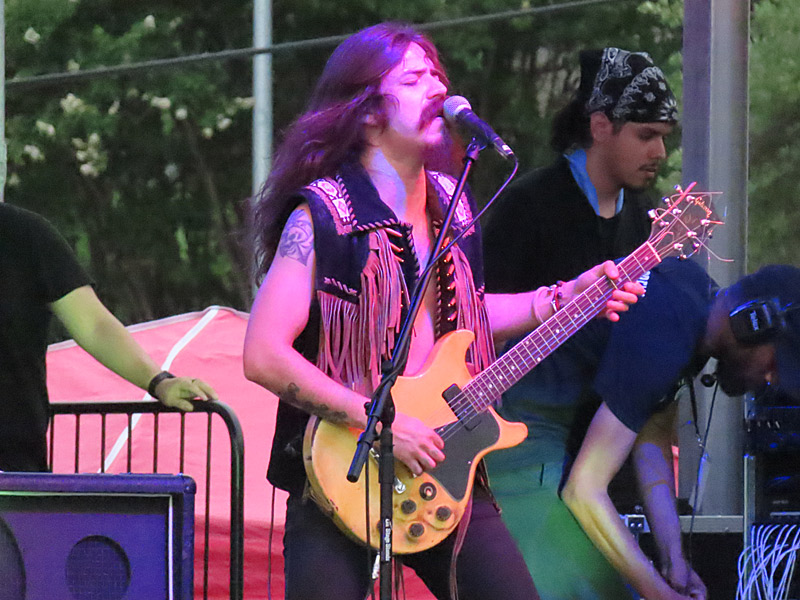
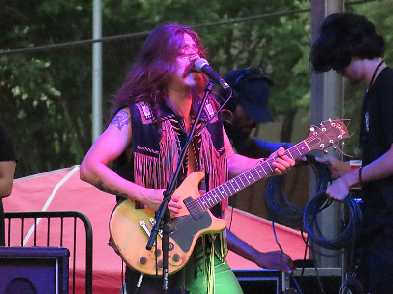
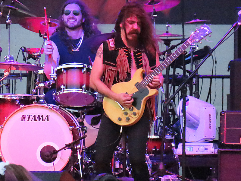
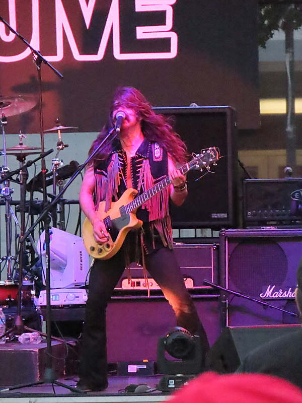
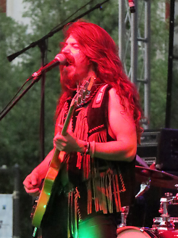
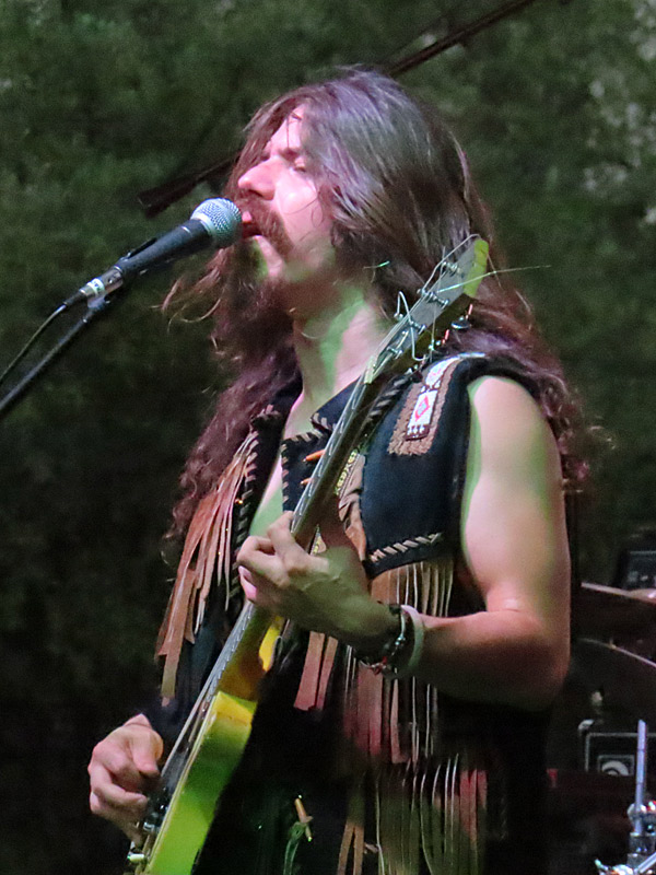
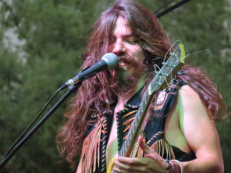
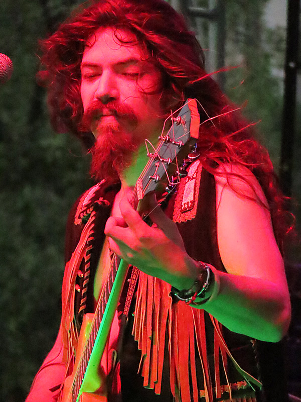
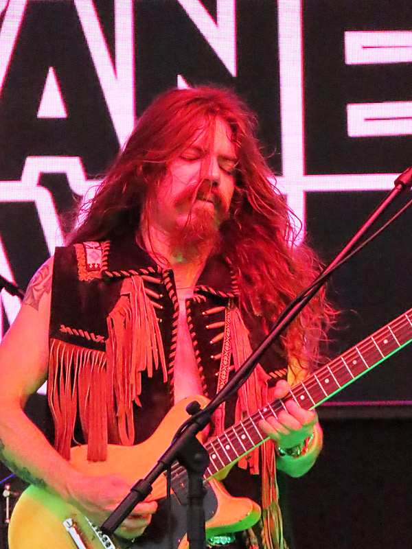
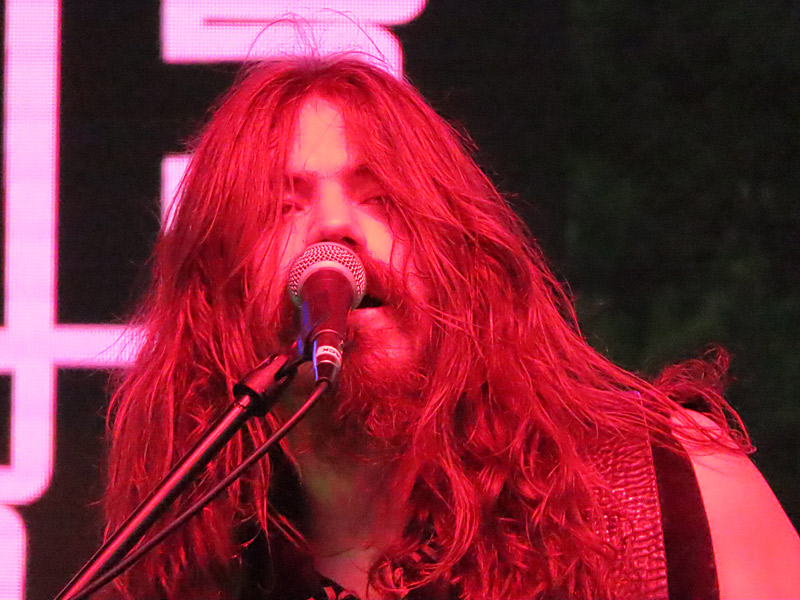
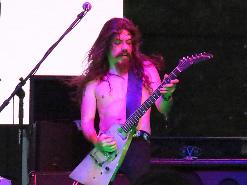
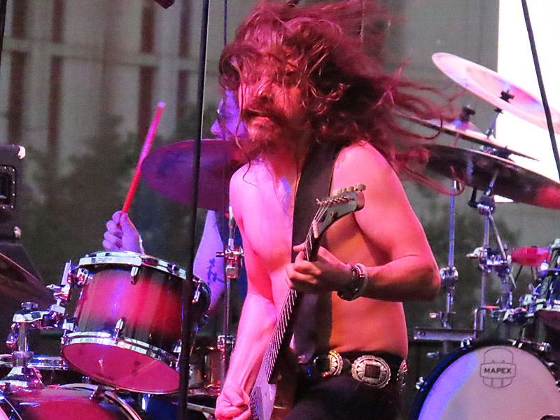
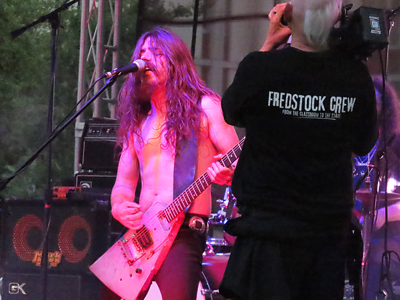
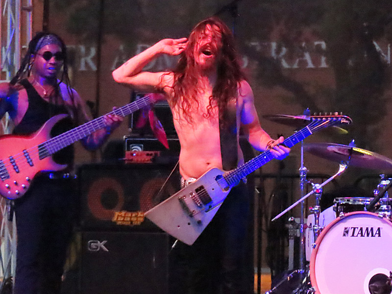
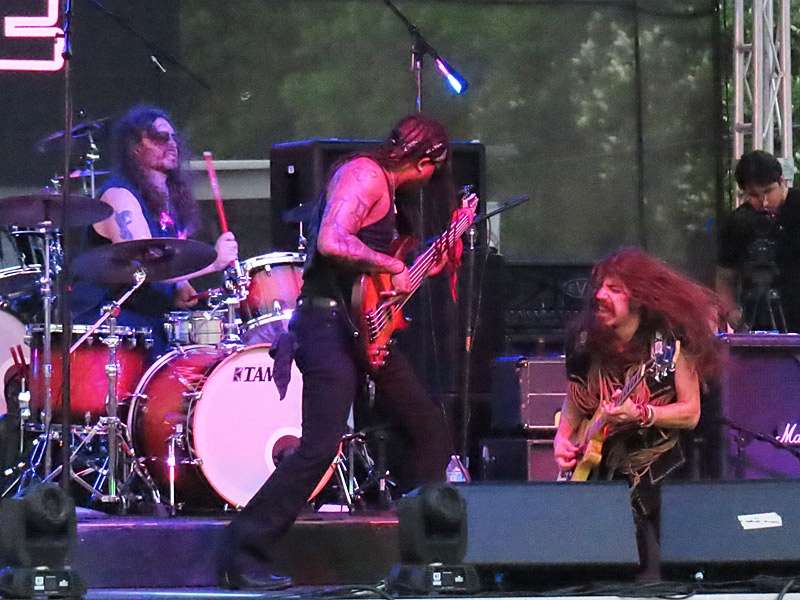
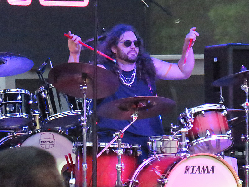
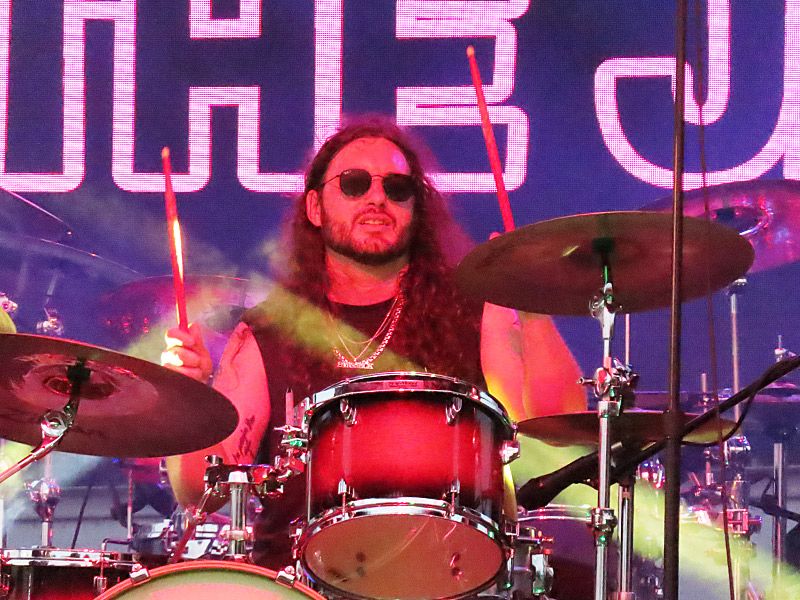
Jason Kane & The Jive at Fredstock ’25 at San Antonio College on Thursday, May 1, 2025. – photo by Joe AlexanderJason Kane & The Jive brought their boogie rock n roll to San Antonio College on Thursday night as part of Fredstock ’25, the annual music festival and block party.
The San Antonio band has an upcoming tour of Europe beginning on May 22.