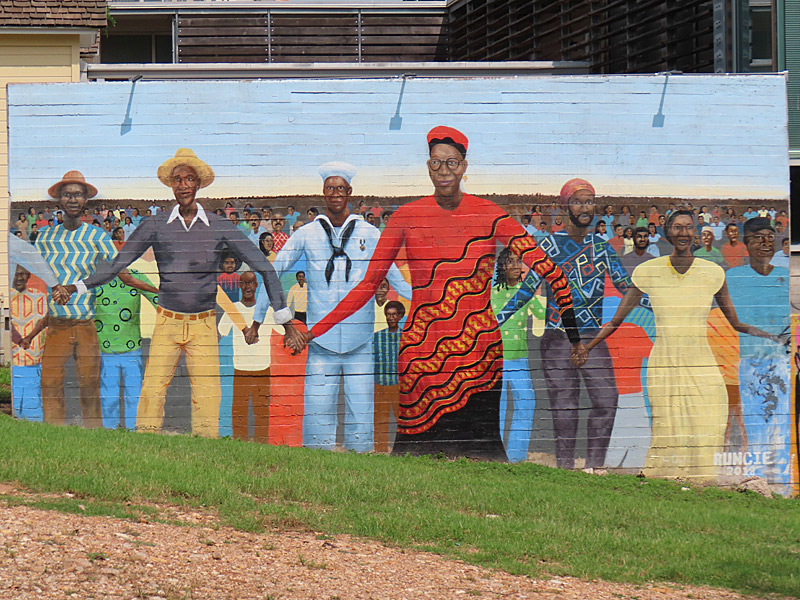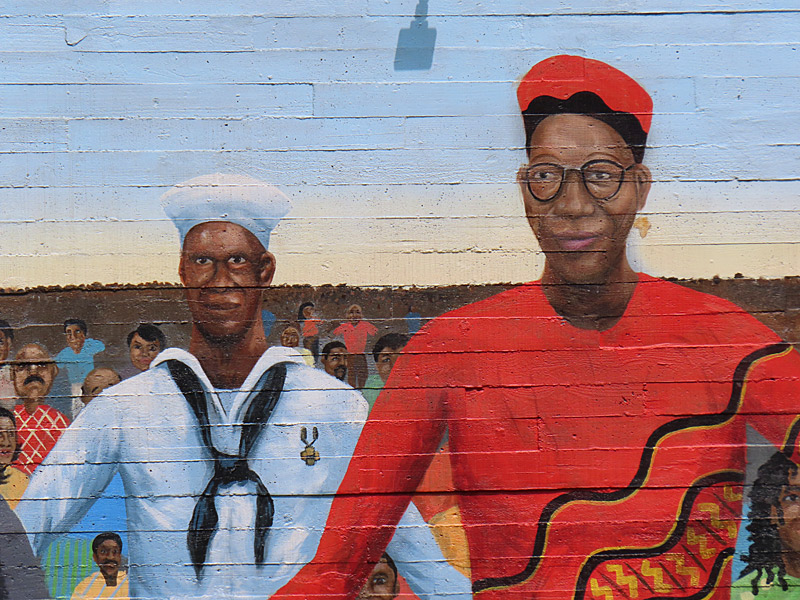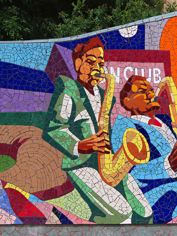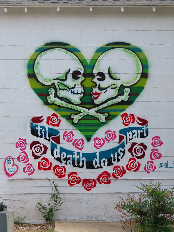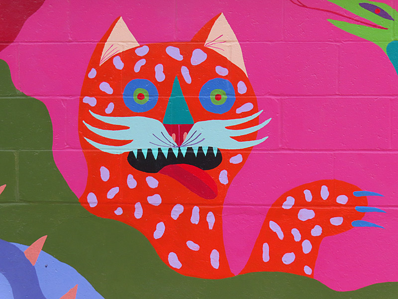
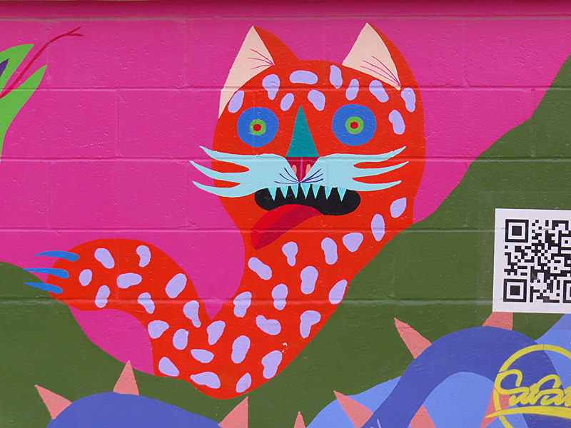
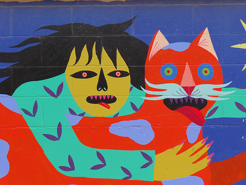
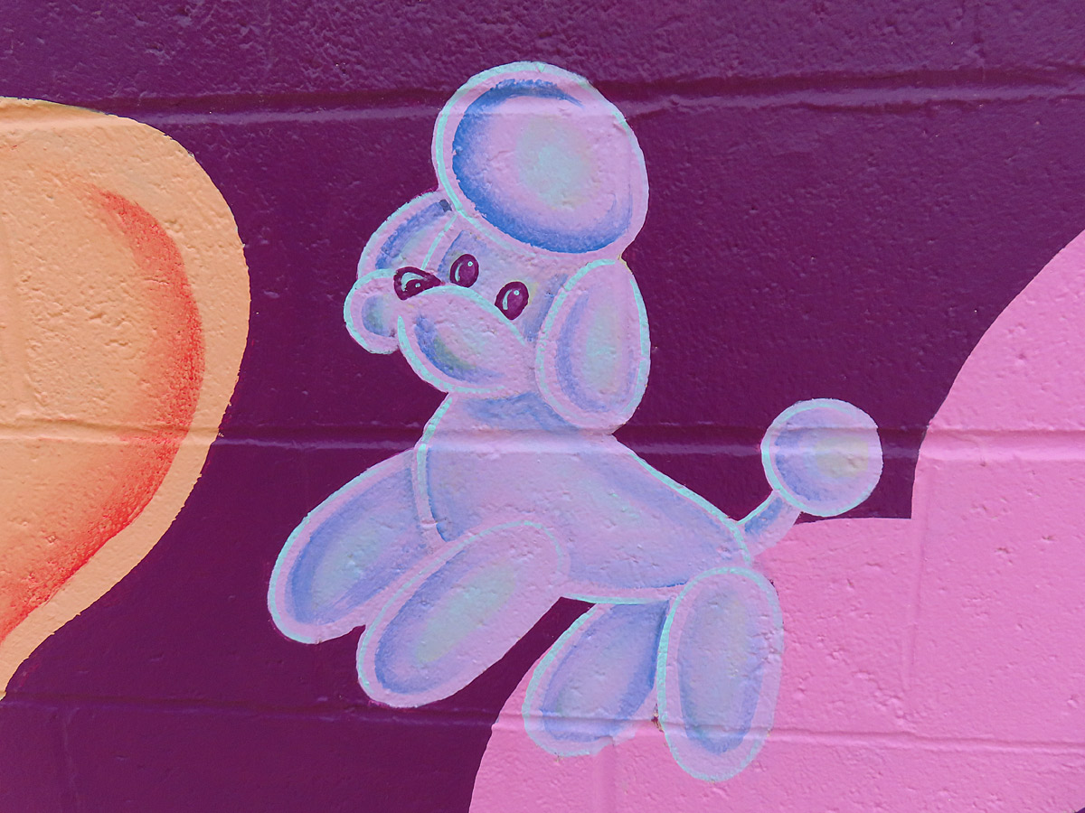
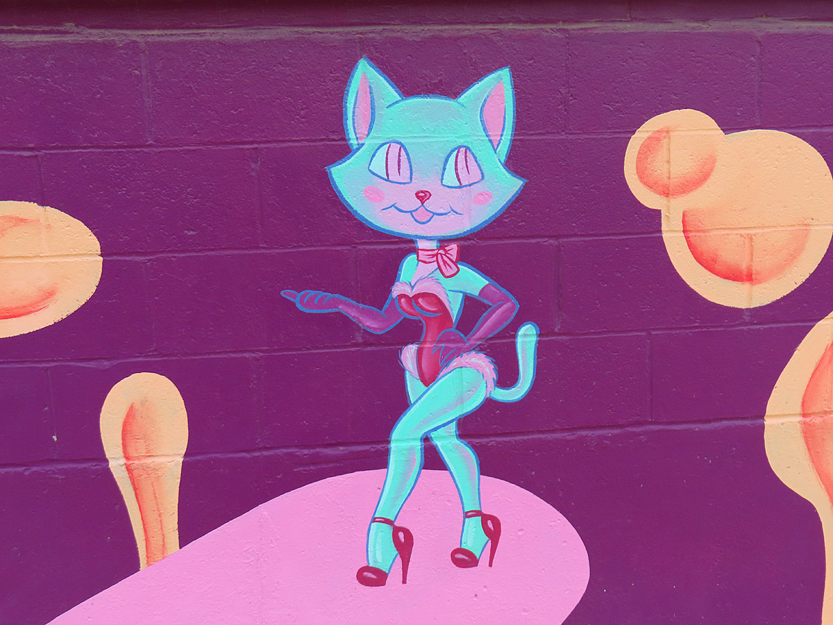
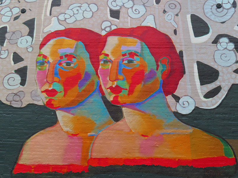
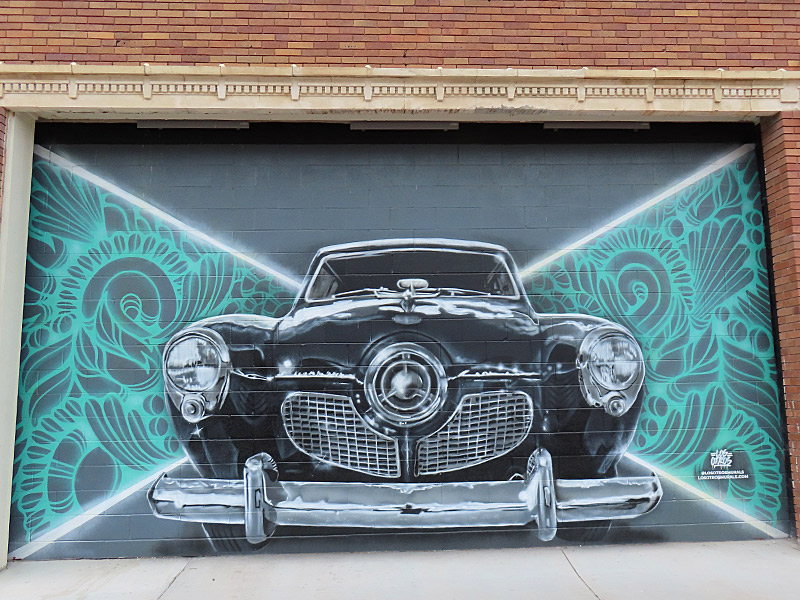
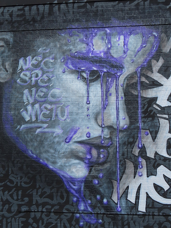
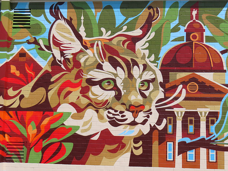
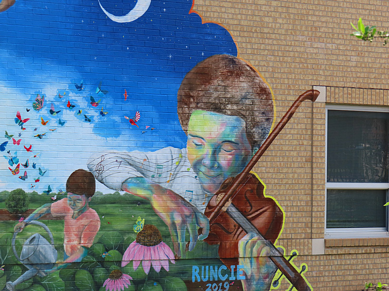
This mural is courtesy of Angela Fox and San Antonio Street Art.
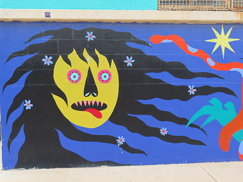
This mural is courtesy of Angela Fox and San Antonio Street Art.
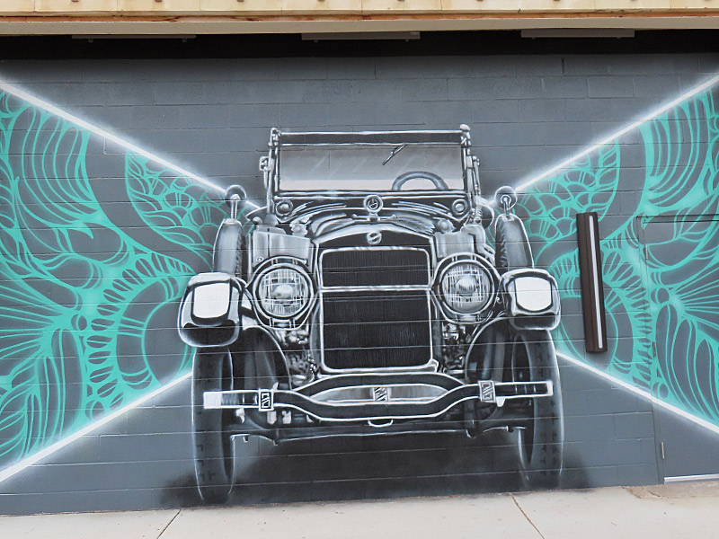
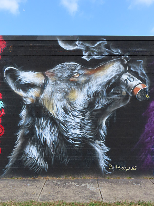
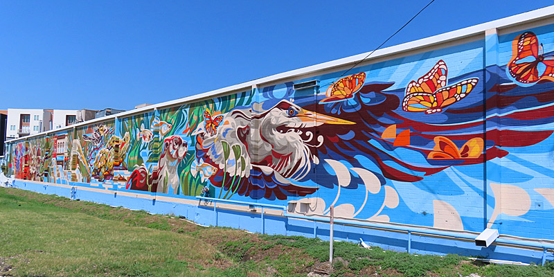
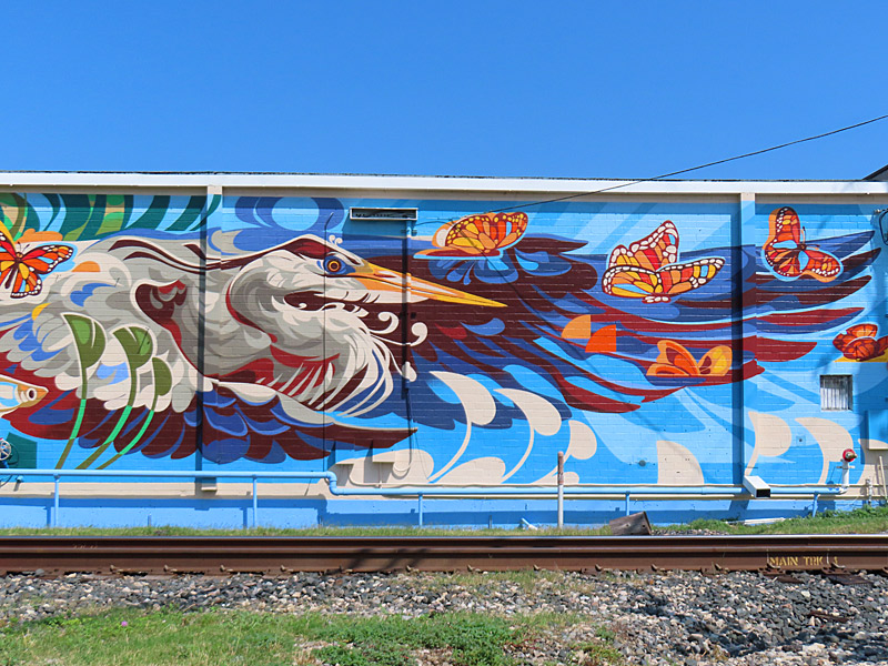
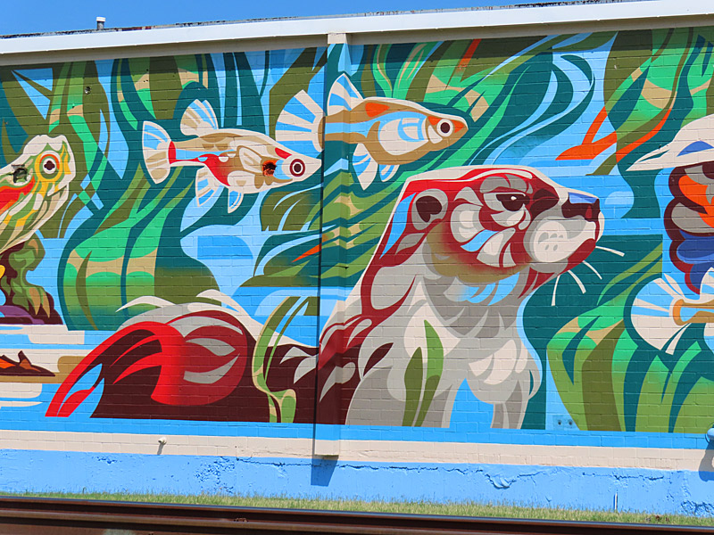
This is behind the KLRN building on the corner of Broadway and McCullough. The mural faces Avenue B and the parking lot of the CPS Headquarters.
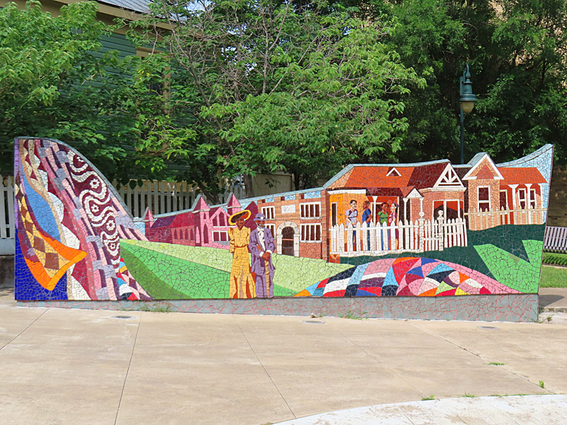
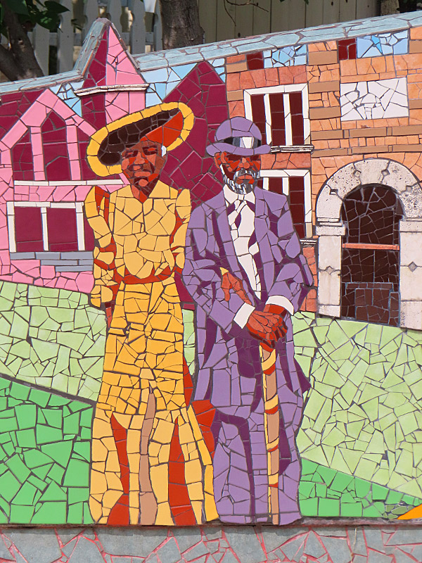
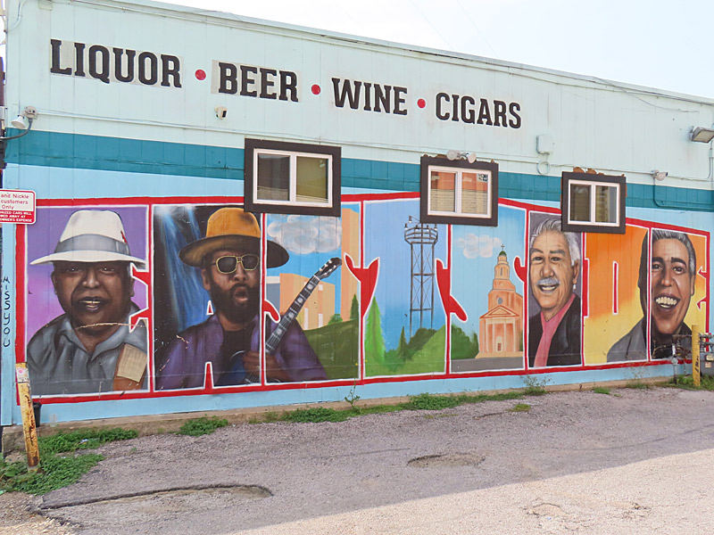
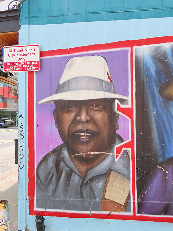
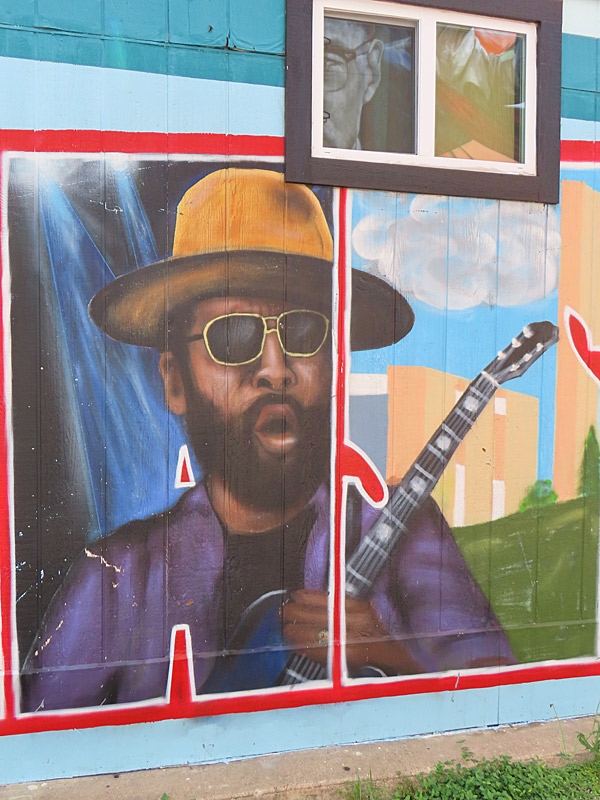
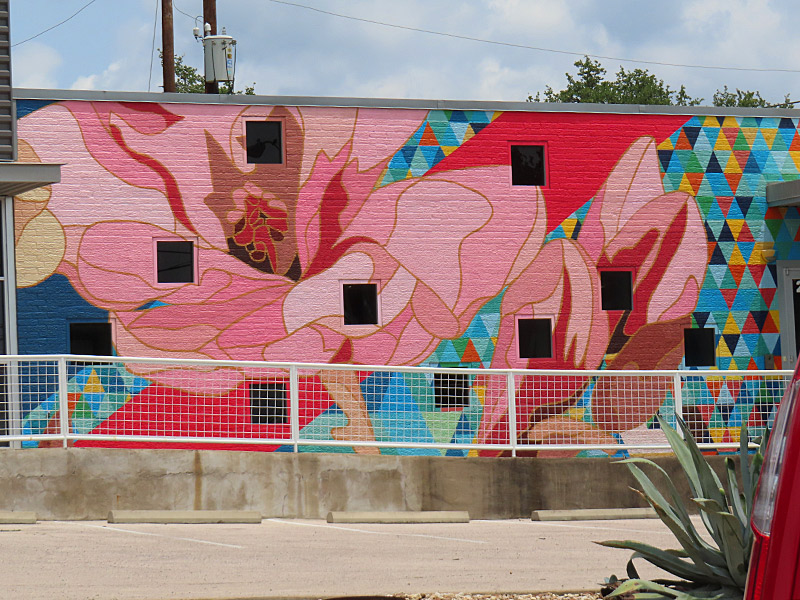
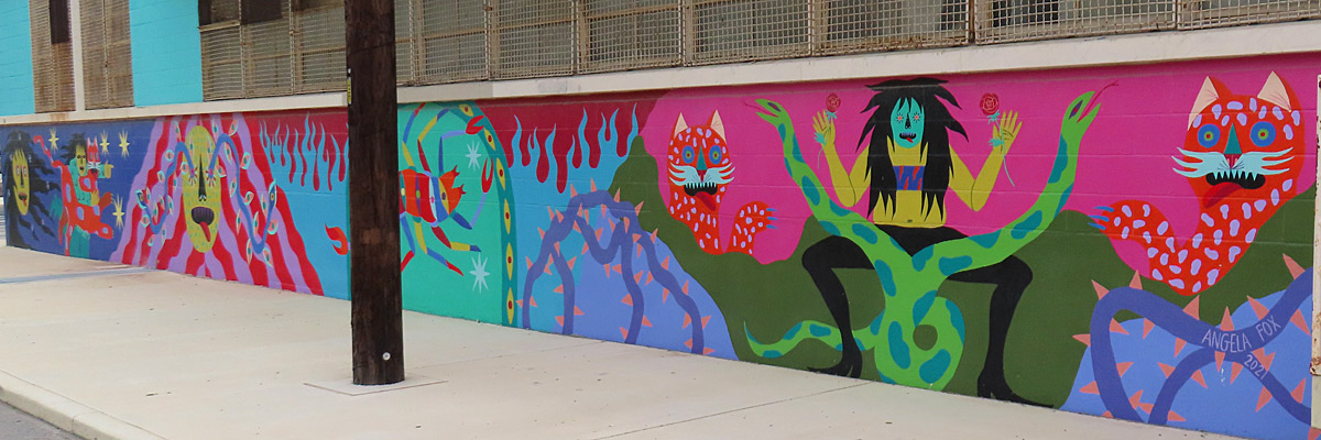
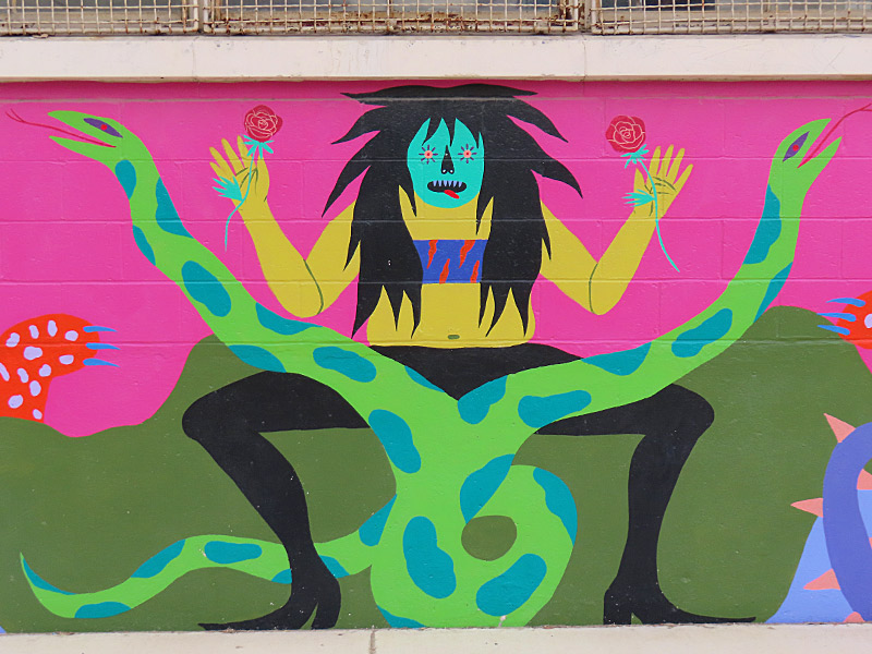
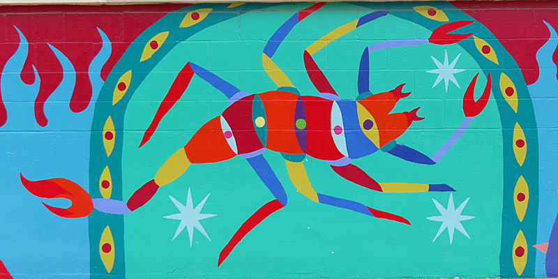
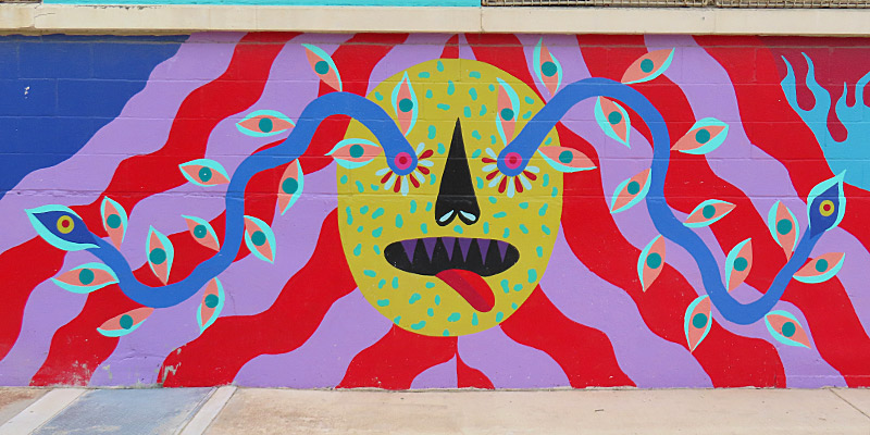
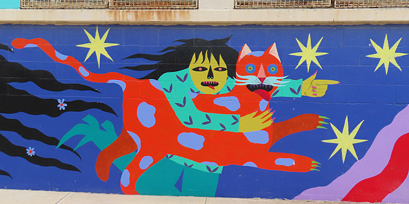
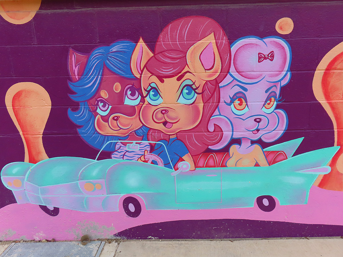
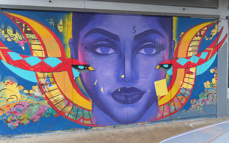
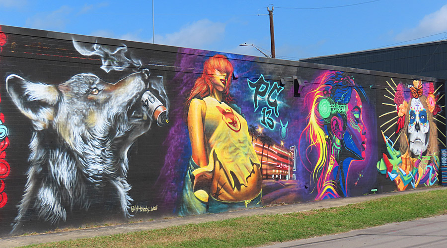
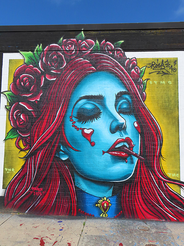
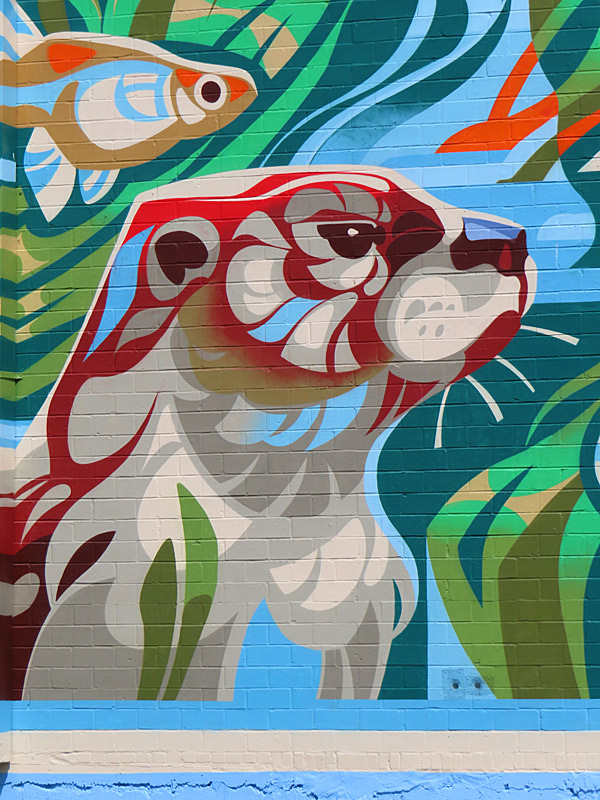
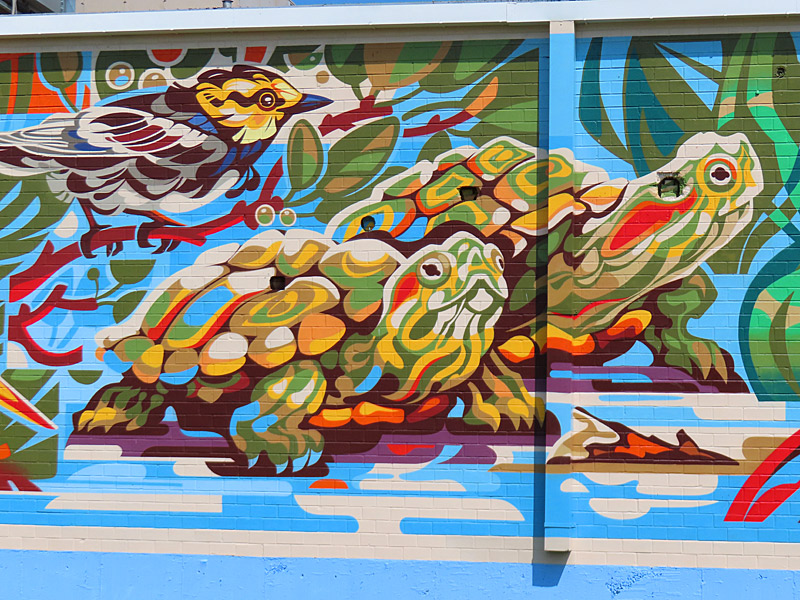
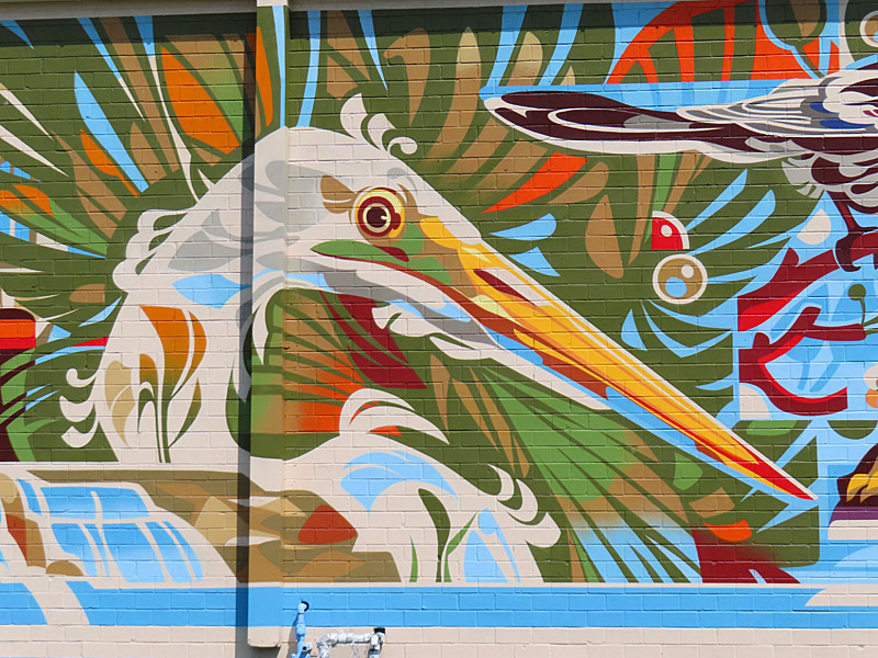
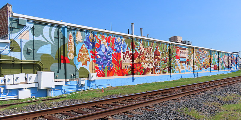
This long mural is courtesy of Connie Chapa and San Antonio Street Art.
Connie Chapa on Instagram: @arte_de_coco
San Antonio Street Art: sanantoniostreetart.org
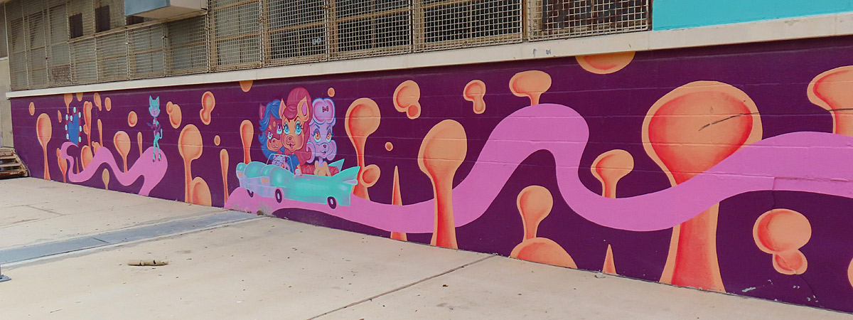
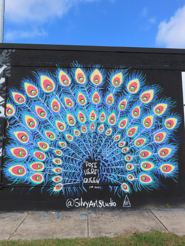
The KLRN building is right on the corner. There is a parking lot in front of the mural that I believe used to be the home of one of the city’s horse-drawn carriage companies.
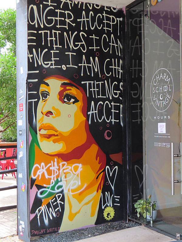
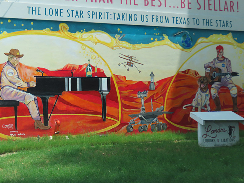
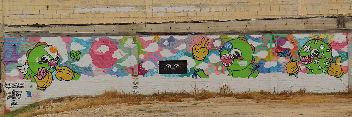
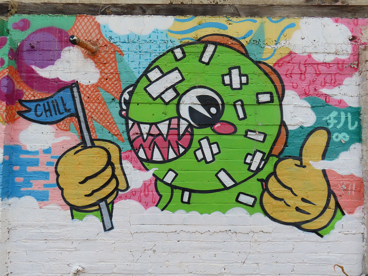
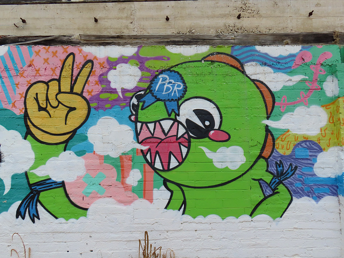
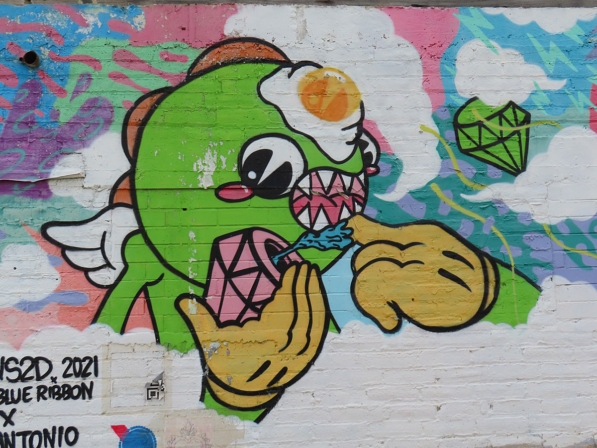
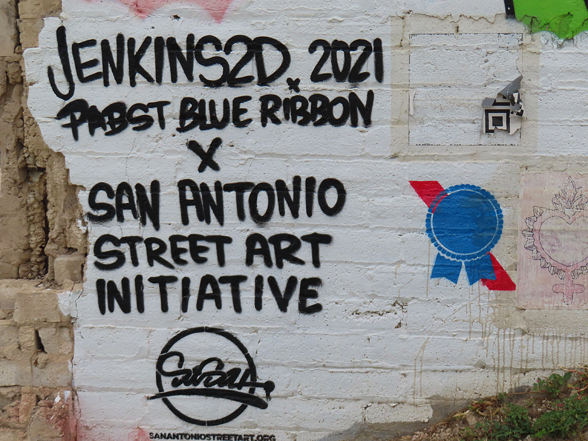
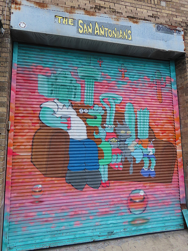
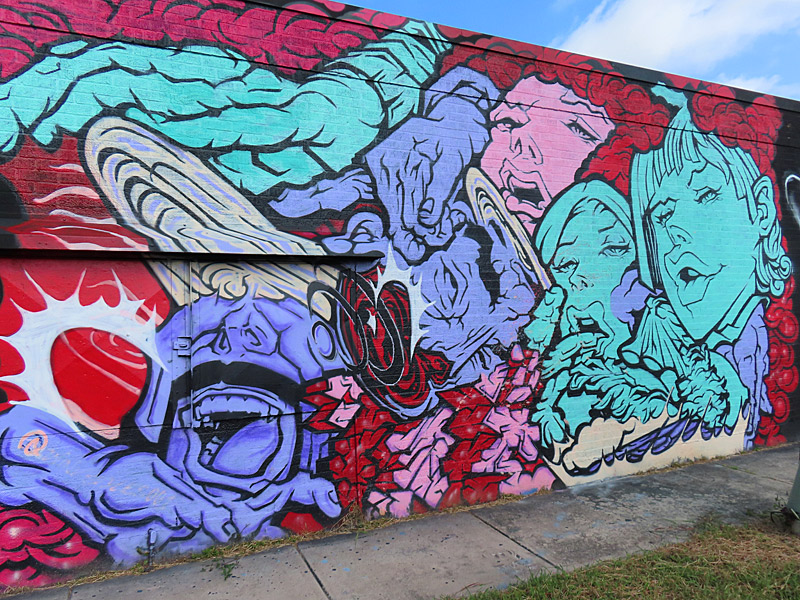
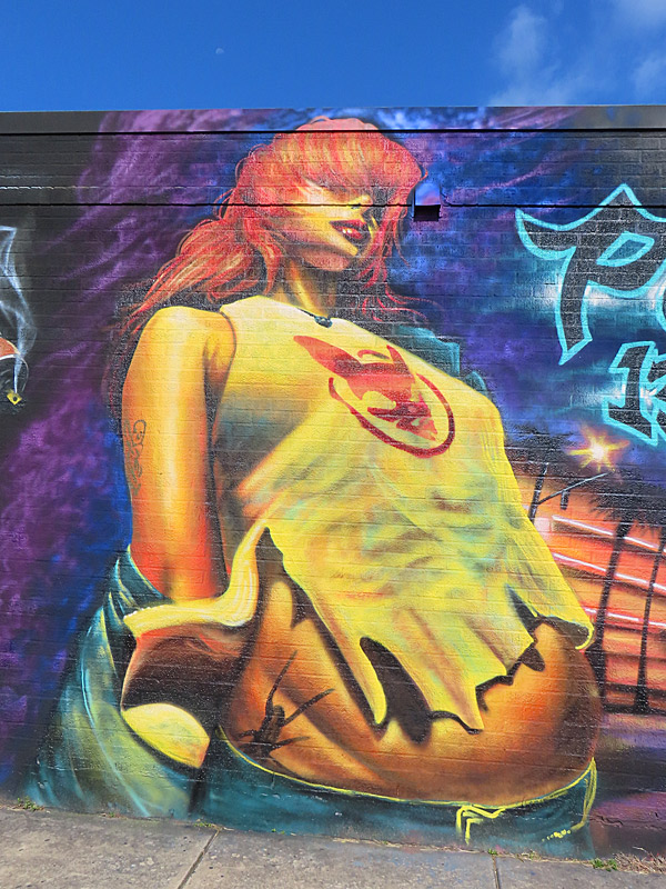
It looks like this art is courtesy of:
Jenkins2d 2021
Pabst Blue Ribbon
San Antonio Street Art Initiative
instagram.com/jenkins2d
jenkins2d.com
sanantoniostreetart.org
They are located just north of the Alamo Plaza area by where Broadway hits 3rd Street.
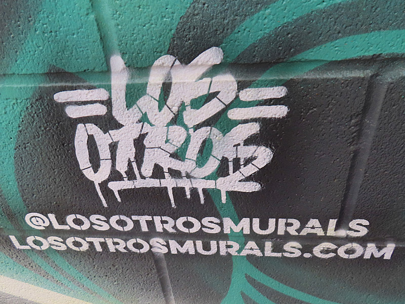
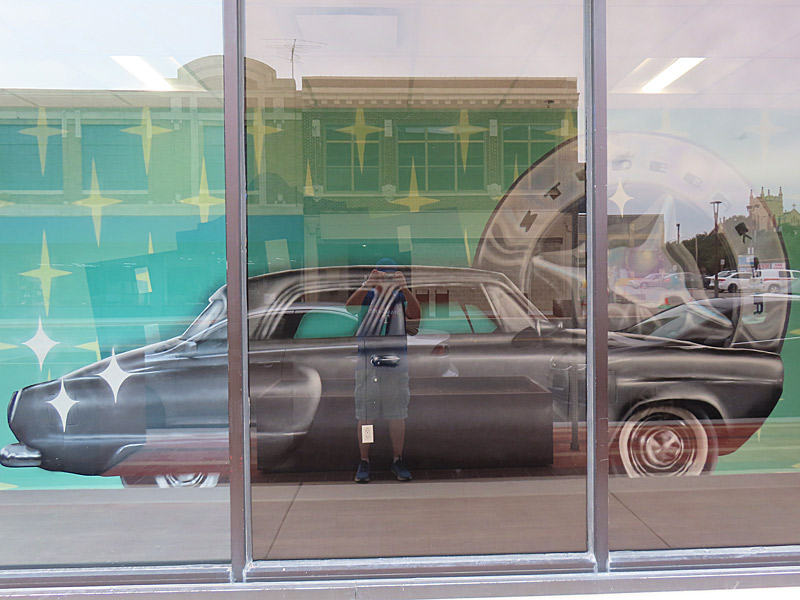
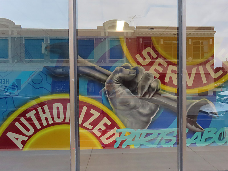
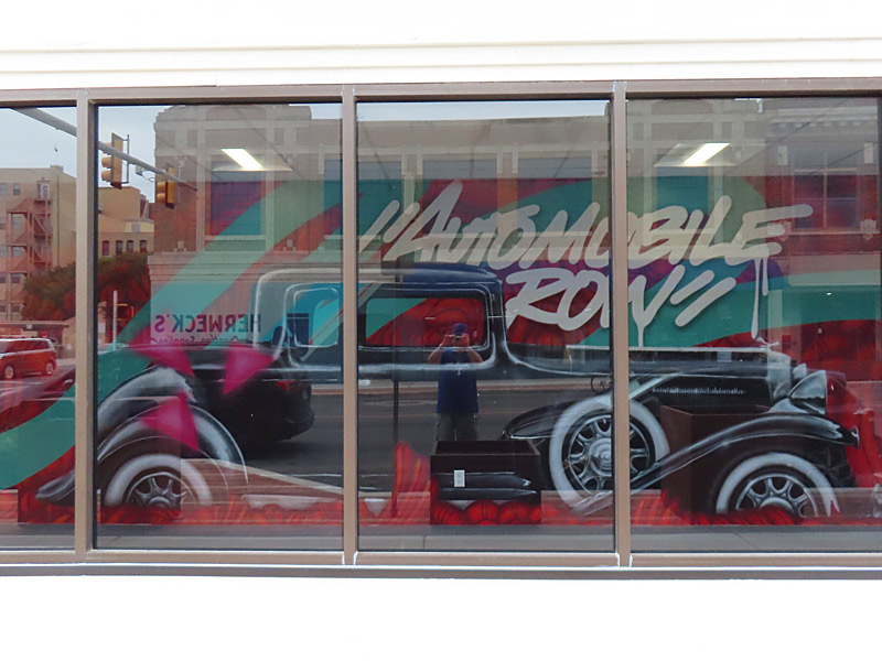
The first two images are where the murals are on the outside of building. The last few images show murals behind glass – where you can see lots of reflections, including me taking the pictures.
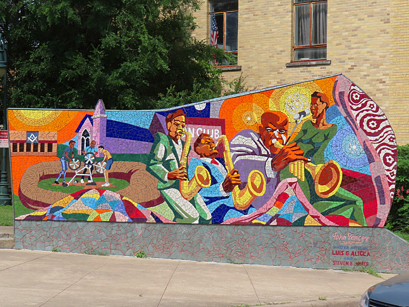
Murals by Los Otros Murals:

Murals in the wild on the east side of Hoefgen Street by The Paint Yard near downtown San Antonio.
The mural is the work of Andrey Kravtsov. It includes images that relate to the city, the state and to nearby Texas State University.
The building is on East Martin Luther King Drive between South LBJ Drive and S Guadalupe Street. The mural is on the back side.
The San Marcos city website had more here:
New Mural Welcomes Downtown San Marcos Visitors
All of the art work here is on or south of 11th street and east of Interstate 35.