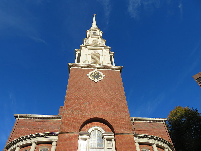
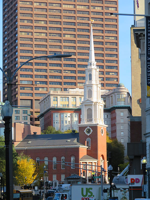
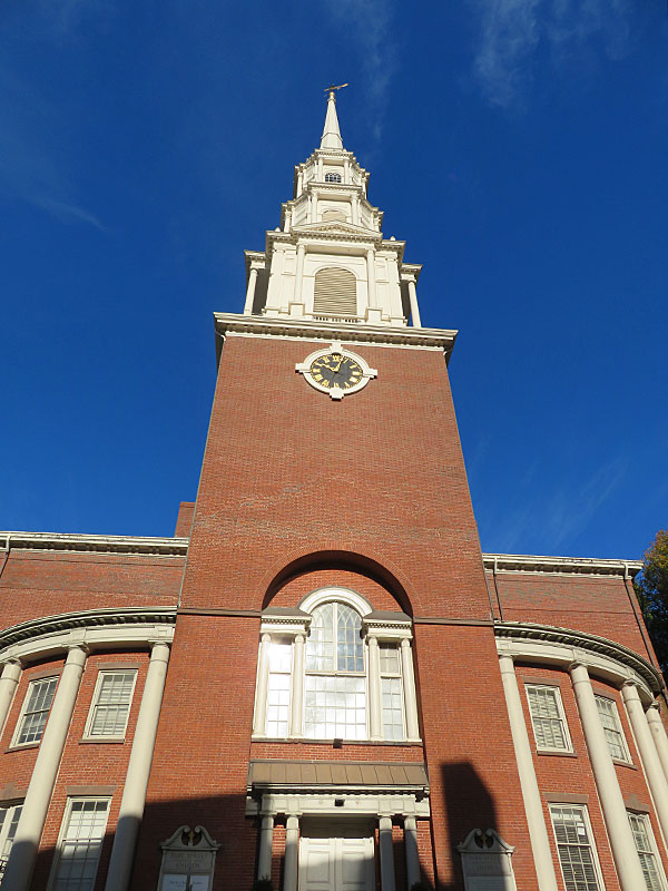
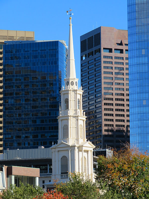
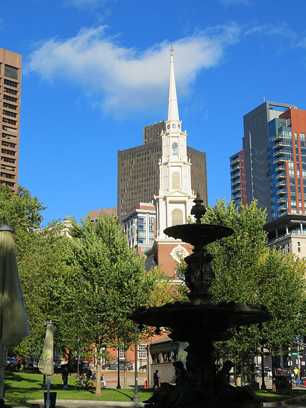
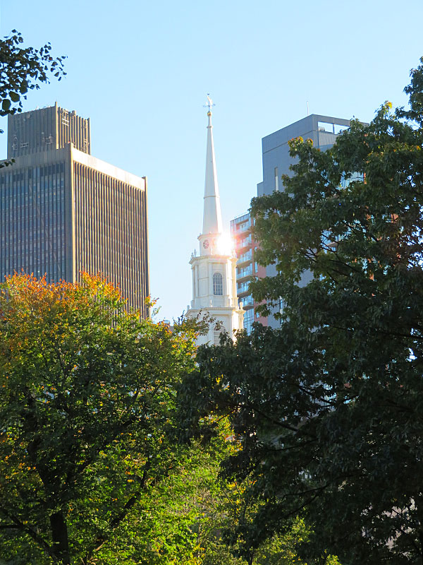
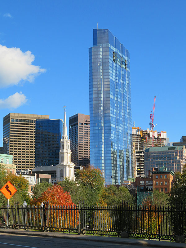
Park Street Church in downtown Boston. – photo by Joe AlexanderPark Street Church in downtown Boston was founded in 1809 near one end of what is now known as the Freedom Trail.
The church is located across from historic Boston Common at the intersection of Park Street and Tremont Street. The 217-foot-tall steeple is visible from much of Boston Common. It is now dwarfed by many of the city’s modern buildings.
The church’s engagement efforts include a homeless outreach ministry and a food bank.
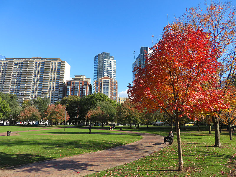
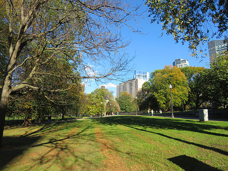
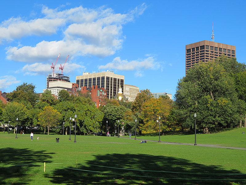
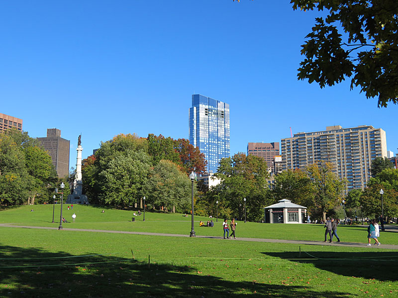
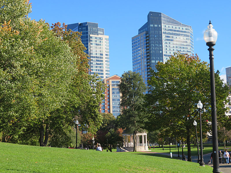
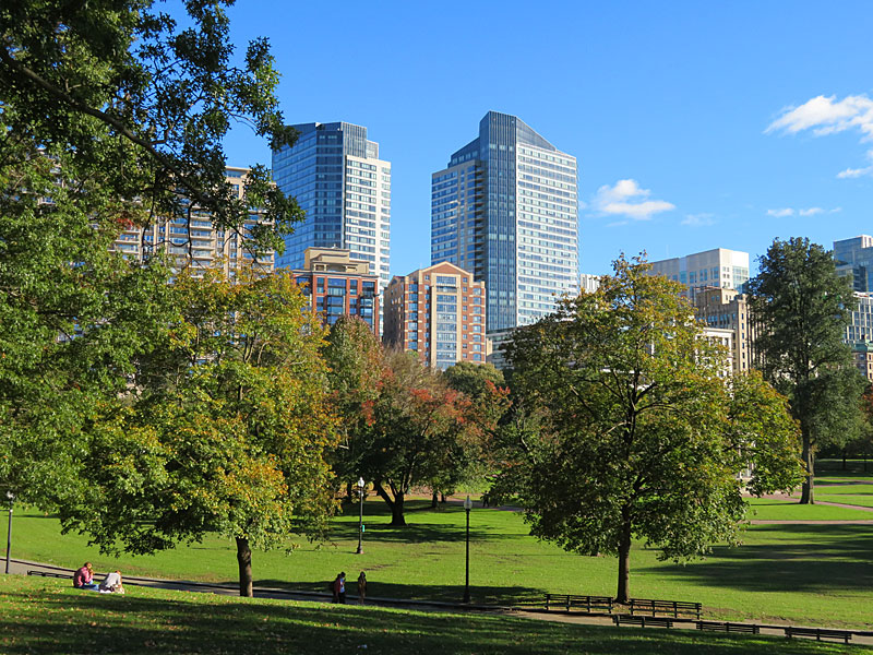
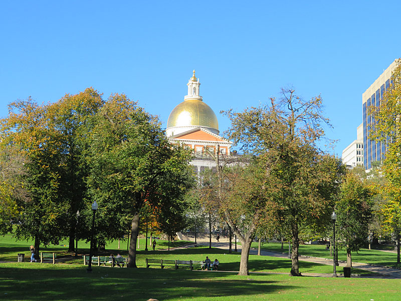
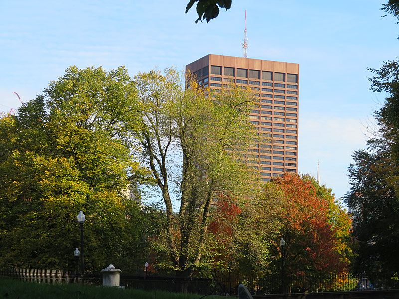
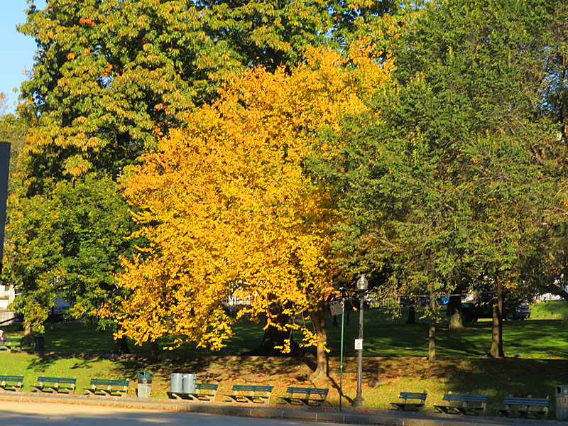
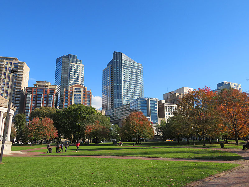
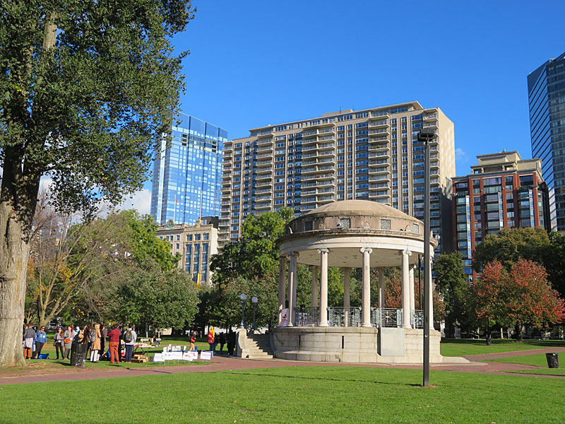
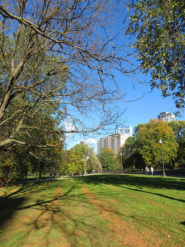
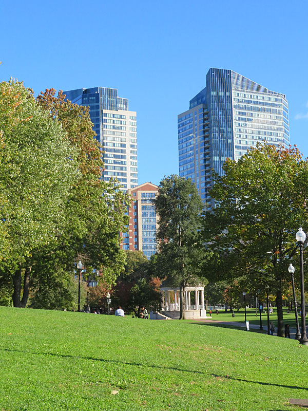
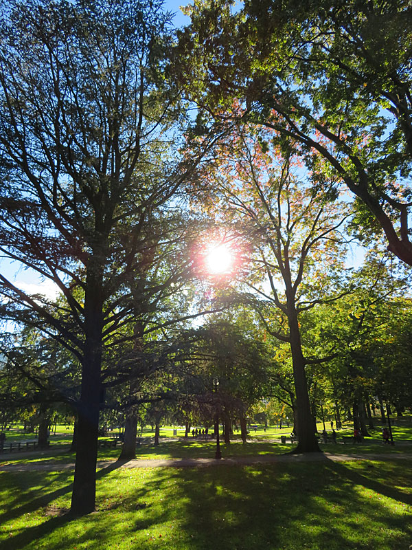
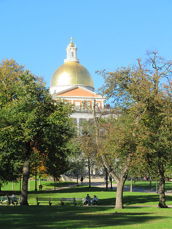
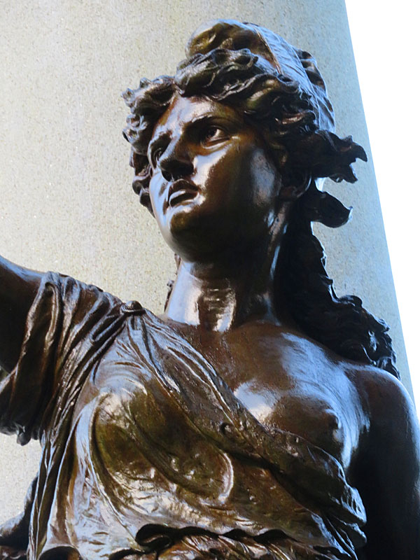
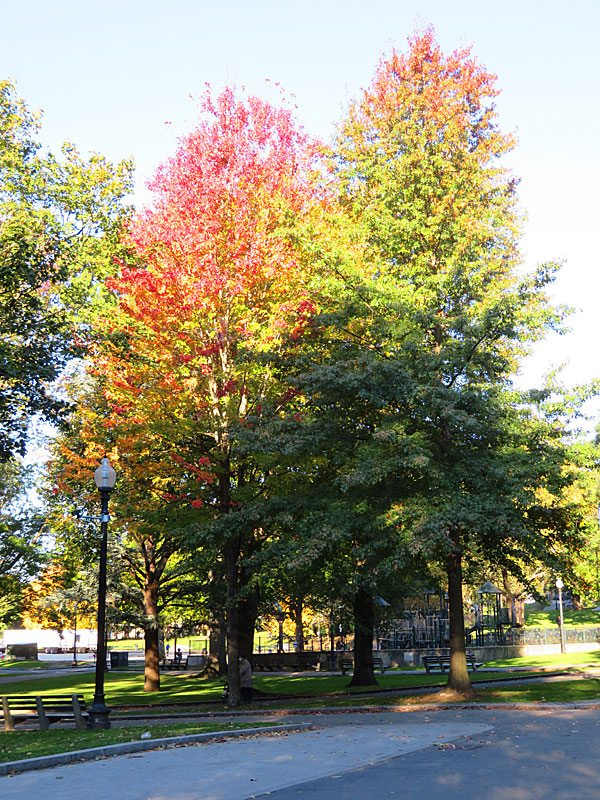
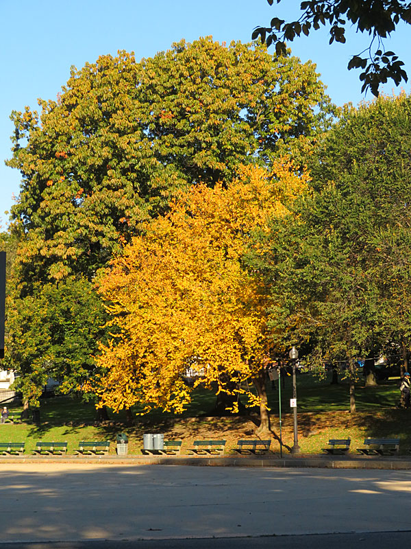
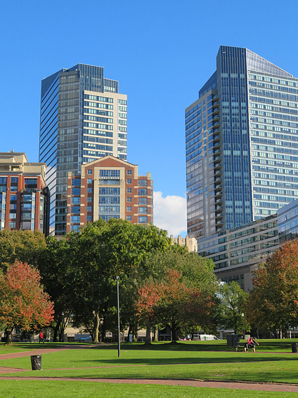
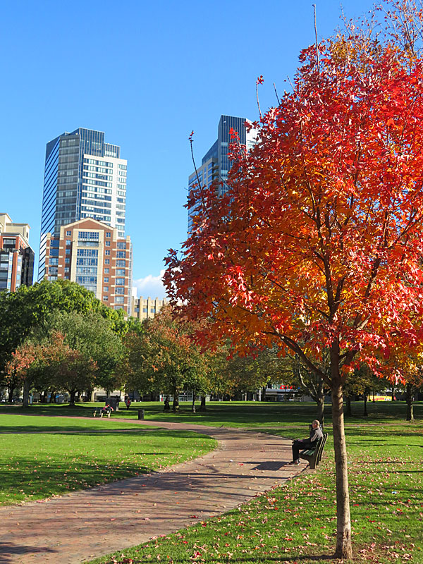
Citizens of Boston purchased the land for Bostom Common almost 400 years ago. – photo by Joe AlexanderBoston Common is one of the best known city parks in the world and is older than the United States.
Citizens of Boston purchased the land in 1634 for the purpose of having a shared area to graze cattle.
I’m guessing the days of cattle grazing on the Common are long gone, I least I didn’t see any.
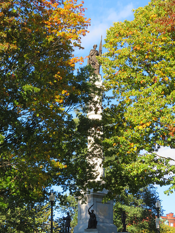
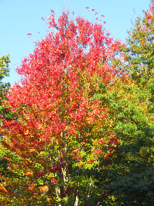
A few of the trees were showing their autumn colors during my recent visit in the first week of November.
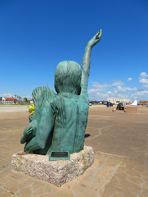
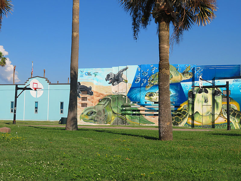
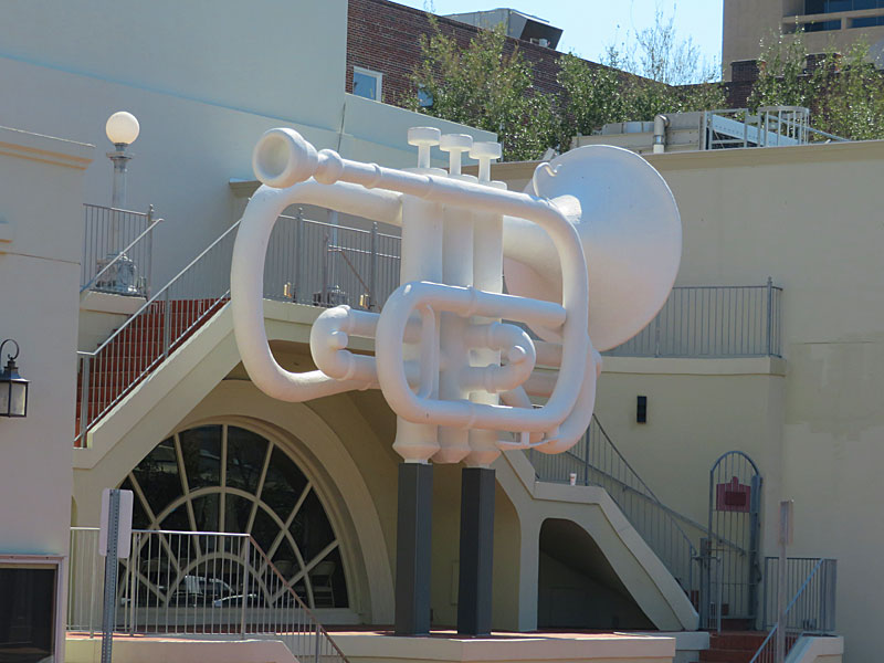
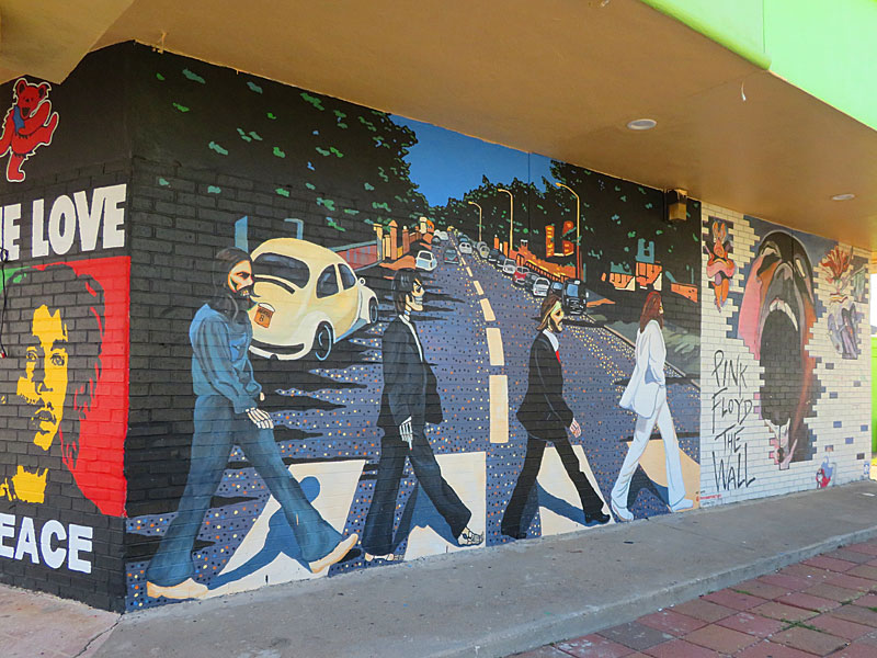
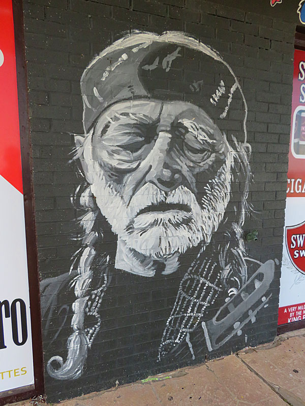
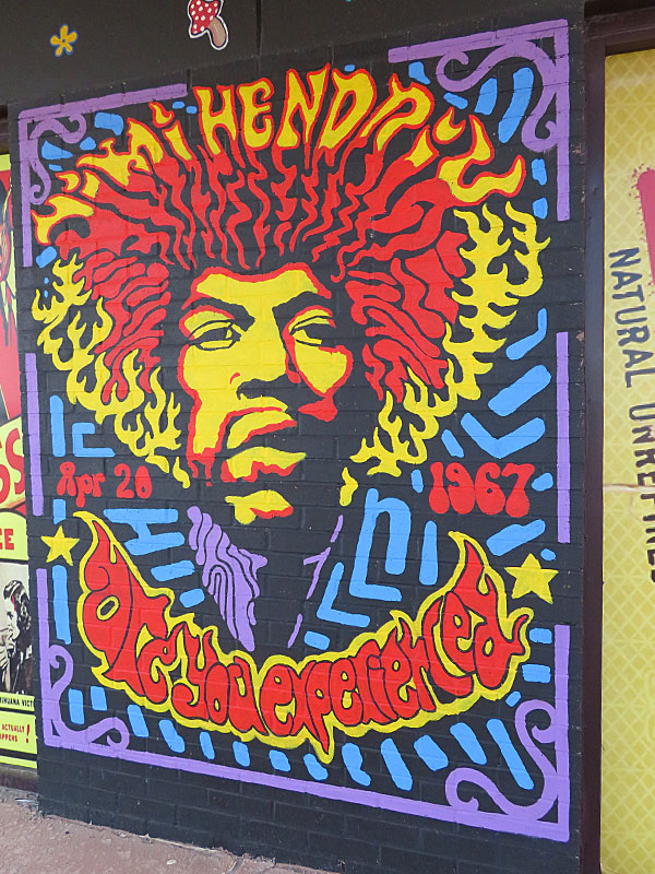
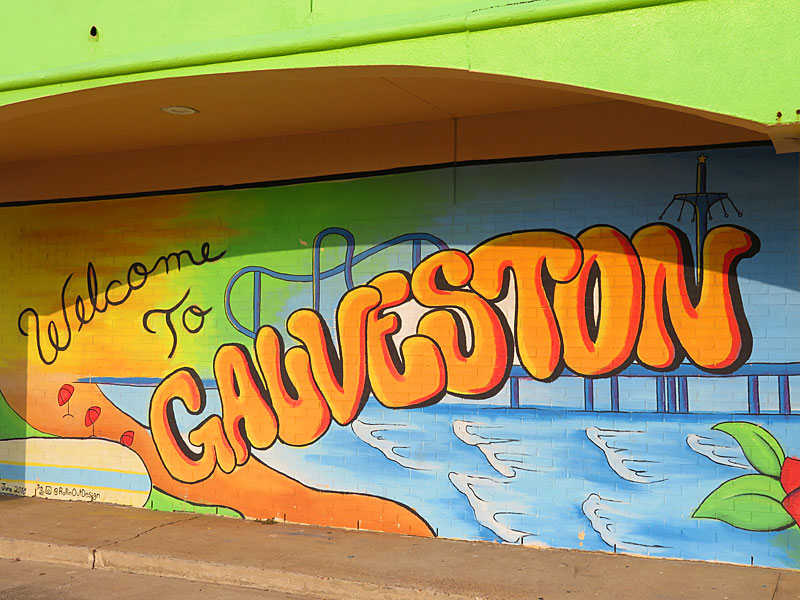
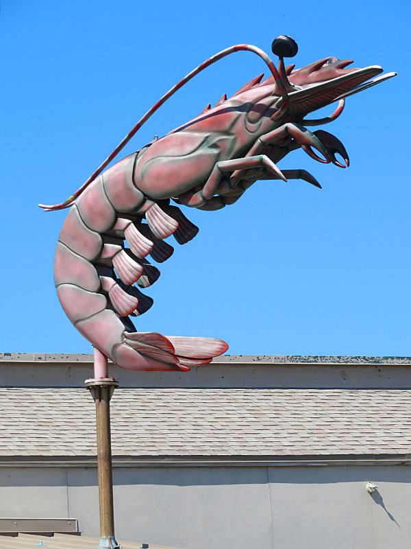
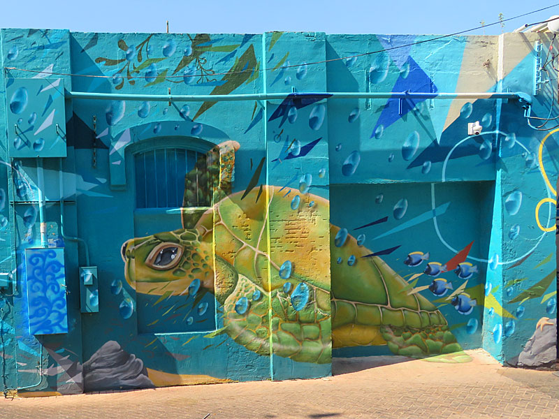
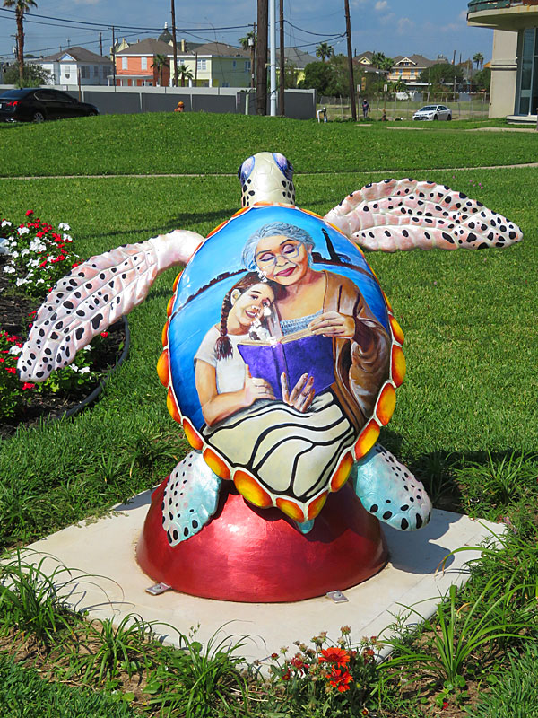
A sea turtle themed mural overlooks an outdoor basketball court near the beach in Galveston. – photo by Joe AlexanderMurals and other forms of public art bring color to Galveston Island.
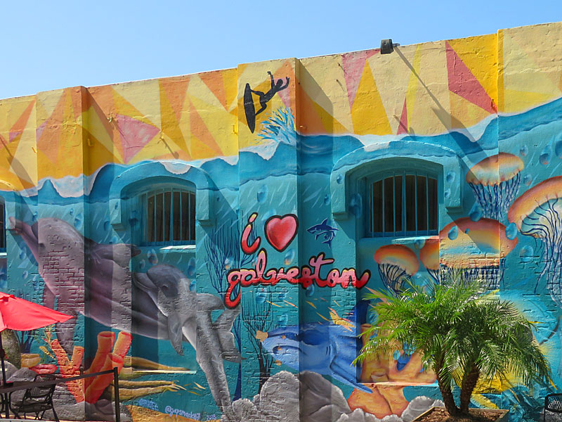
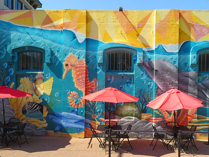
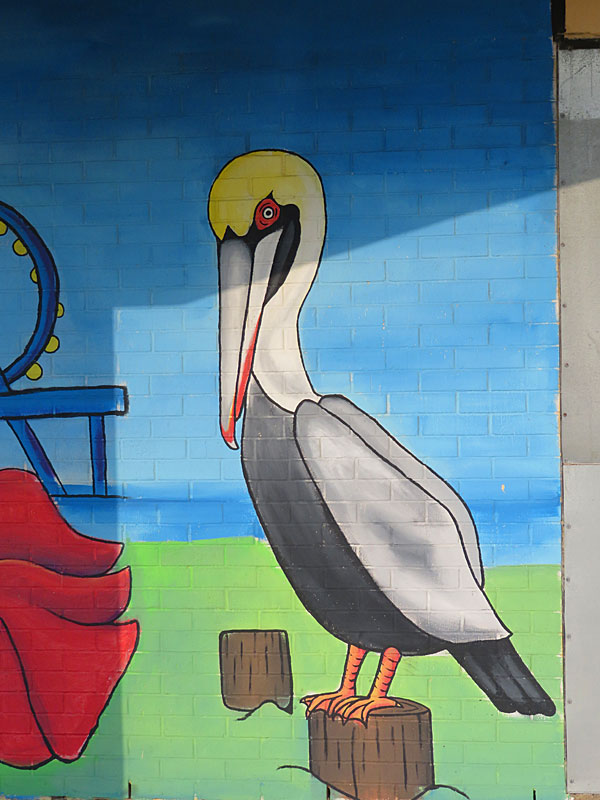
Nick’s Kitchen and Beach Bar facing the beach in Galveston. – photo by Joe AlexanderAnimal art is common in Galveston near the beach – both at businesses and in public places. Most of it reflects the island’s relationship with the sea.
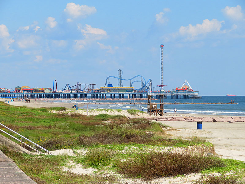
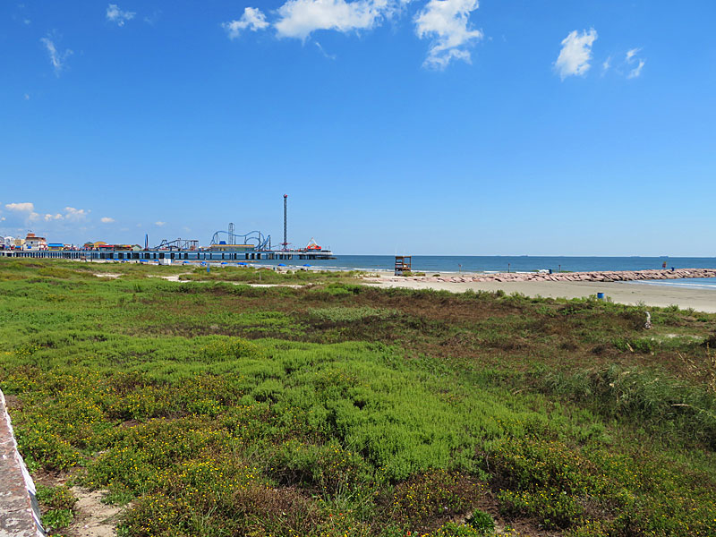
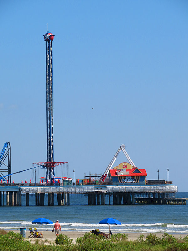
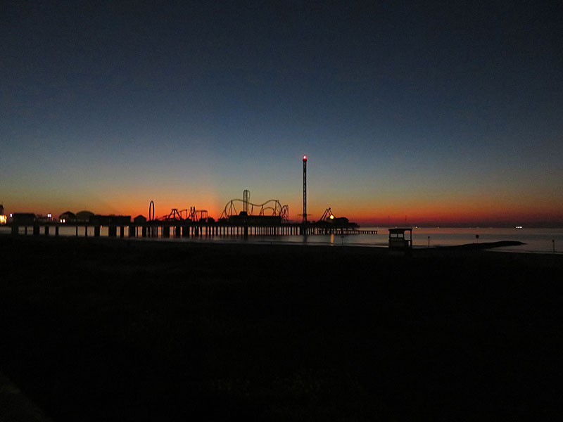
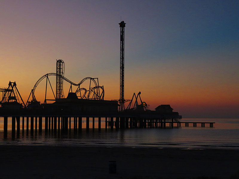
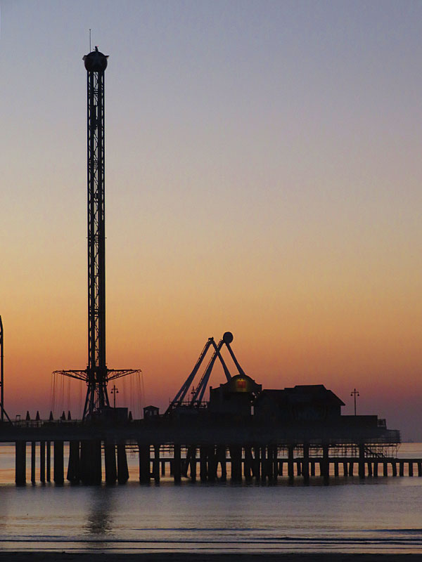
View of the Galveston Pleasure Pier looking northeast from the seawall. – photo by Joe AlexanderThe Galveston Pleasure Pier opened in summer 2012 on the gulf side of the island where 25th Street meets the seawall.
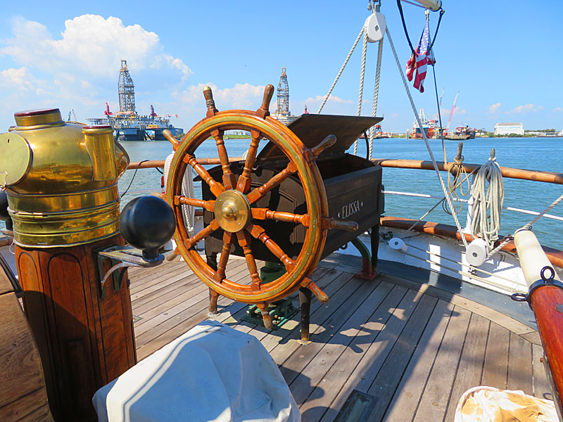
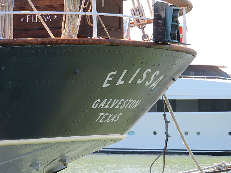
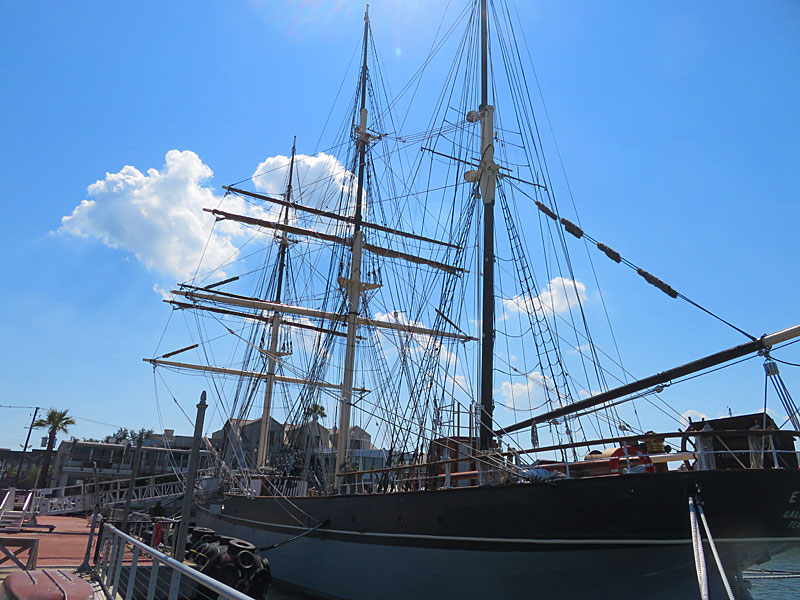
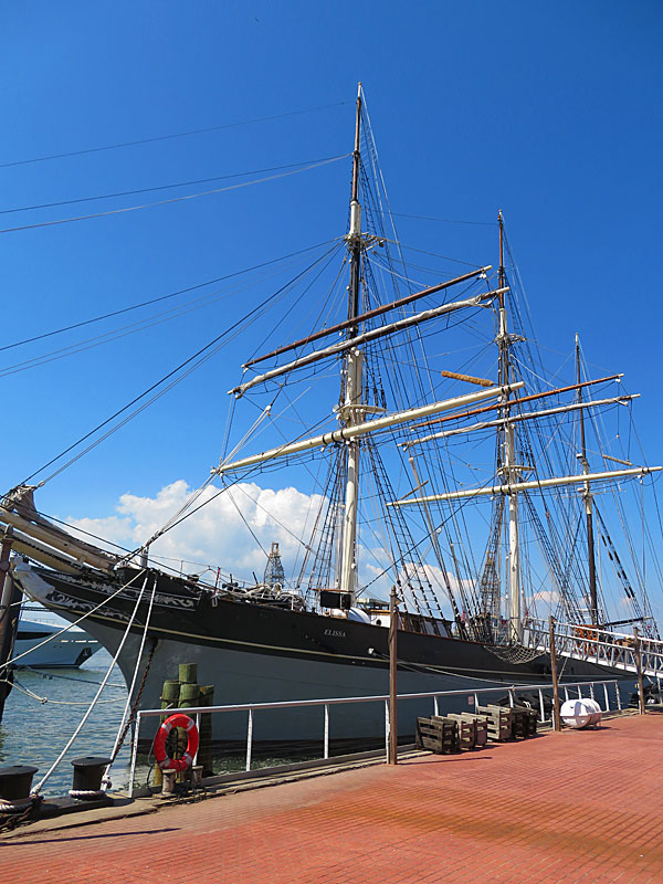
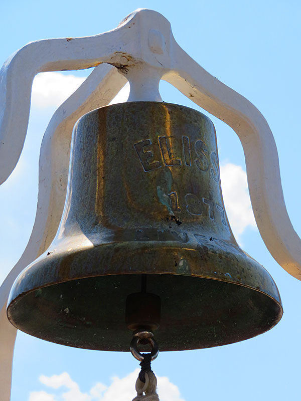
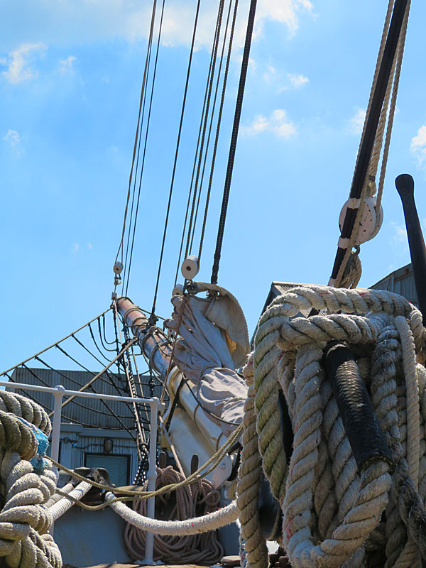
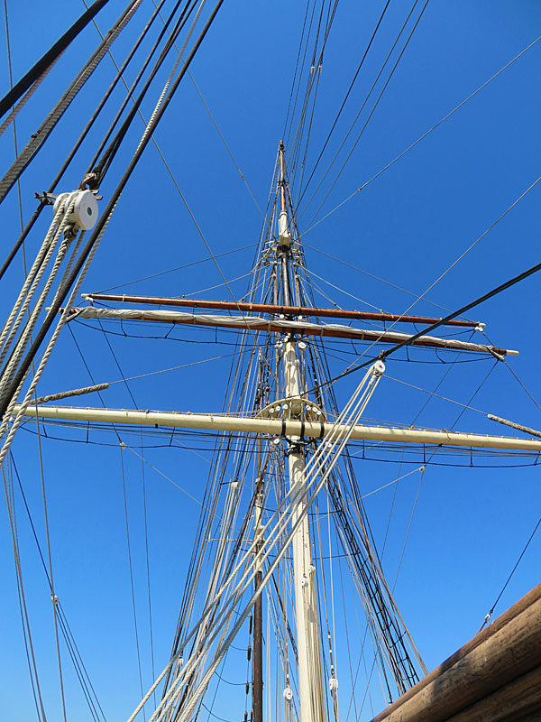
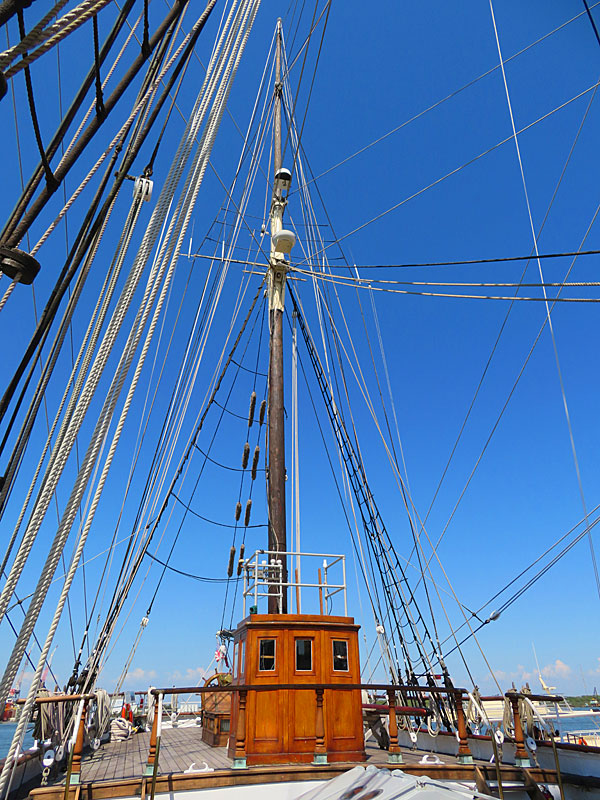
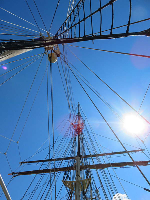
The sailing ship ELISSA docked in Galveston, Texas. – photo by Joe AlexanderThe three-masted sailing ship ELISSA was built in Scotland in 1877 and now calls Galveston home. ELISSA is the Official Tall Ship of Texas.
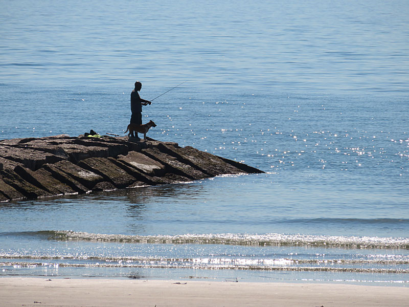
A fisherman takes advantage of a calm morning in Galveston, Texas. – photo by Joe AlexanderA series of jetties project out into the Gulf of Mexico from the seawall in Galveston, Texas.
The jetties help stabilize the seawall and slow erosion – as well as providing convenient places to fish.
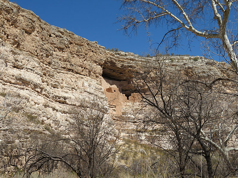
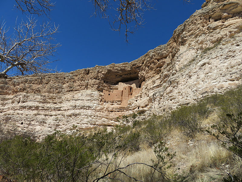
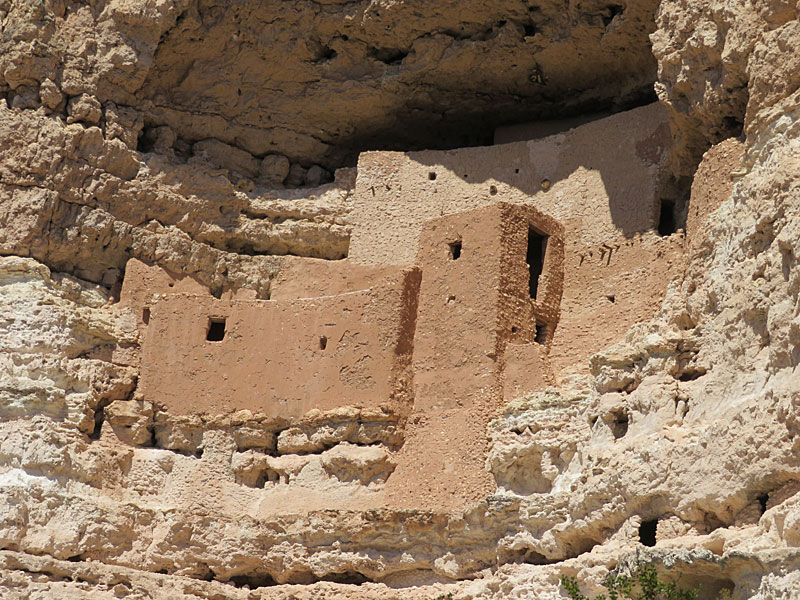
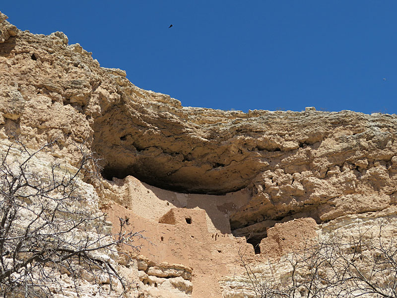
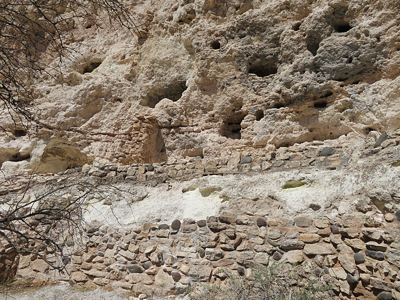
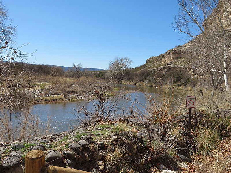
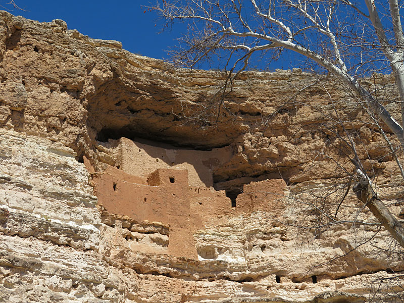
Montezuma Castle National Monument in Arizona. – photo by Joe AlexanderMontezuma Castle is the name given to cliff dwellings near Camp Verde, Arizona.
The park is listed as a National Monument and part of the part National Park System.
It is located off Interstate 17 about 90 miles north of Phoenix.
If you are driving north from Phoenix toward Sedona or the Grand Canyon, this is an easy stop along the way.
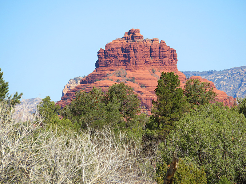
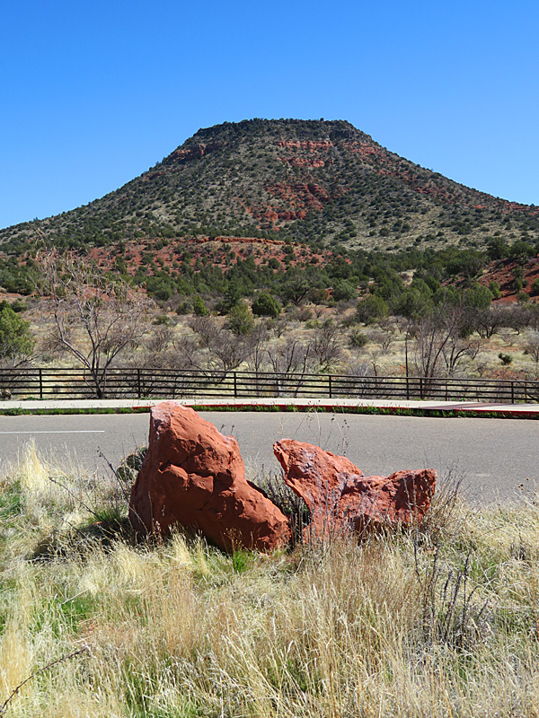
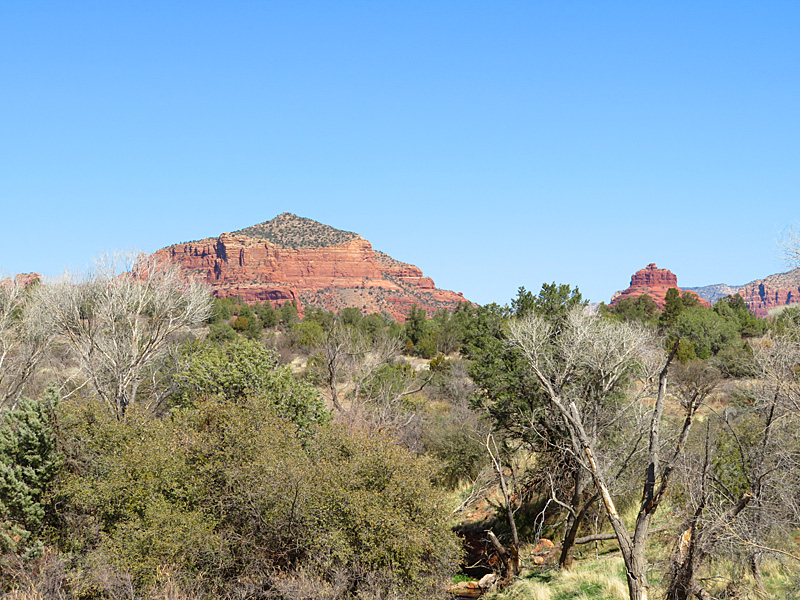
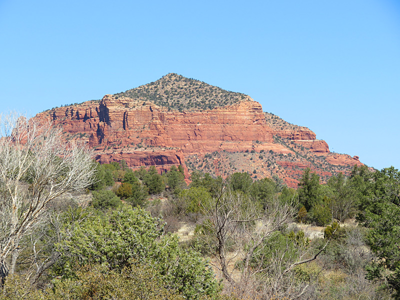
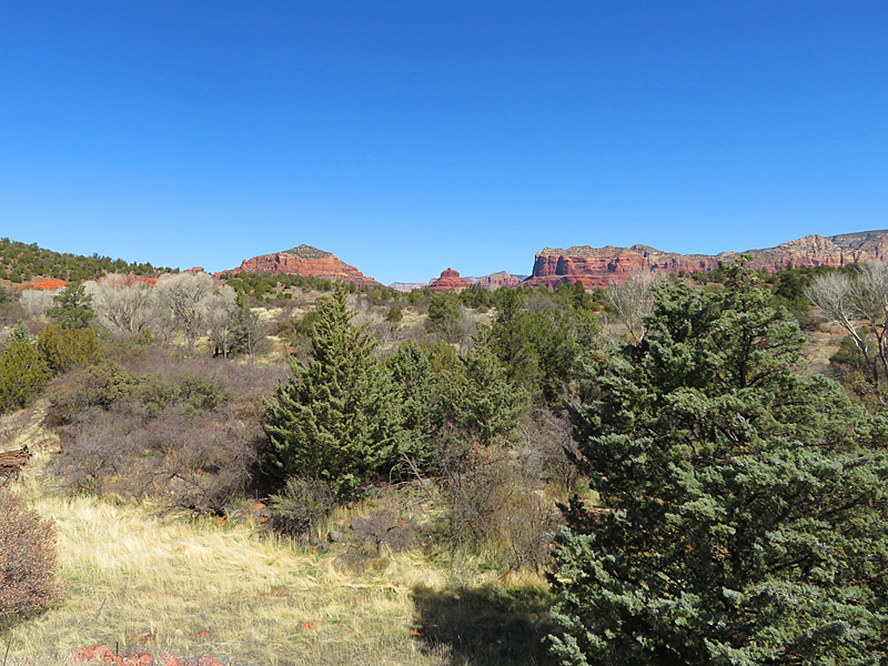
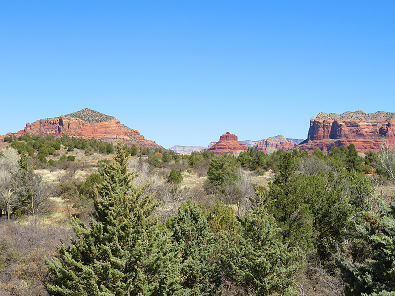
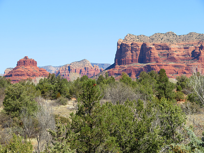
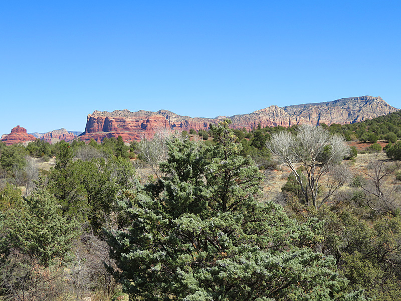
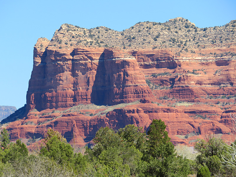
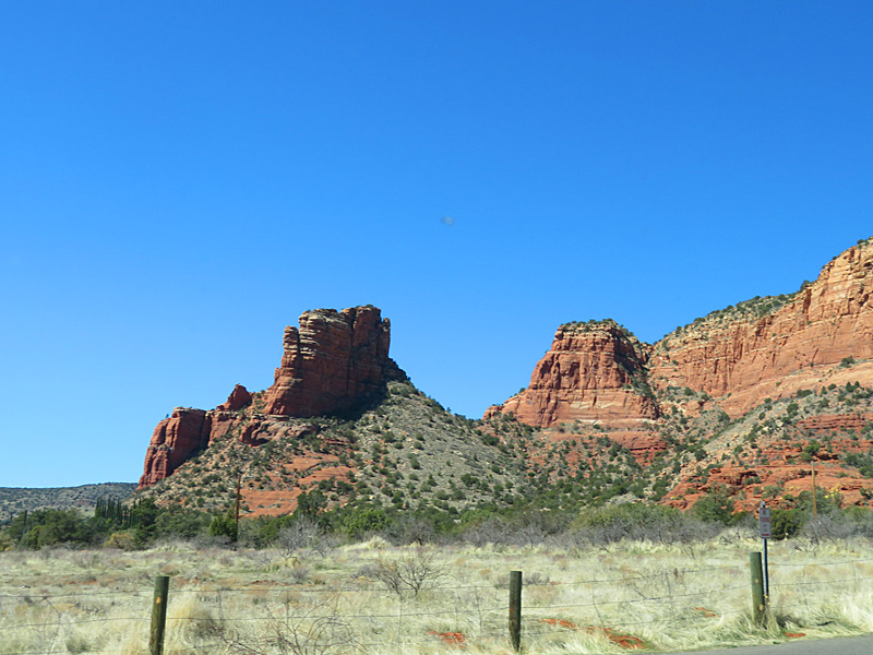
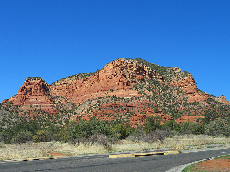
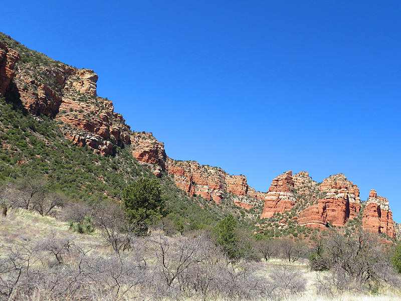
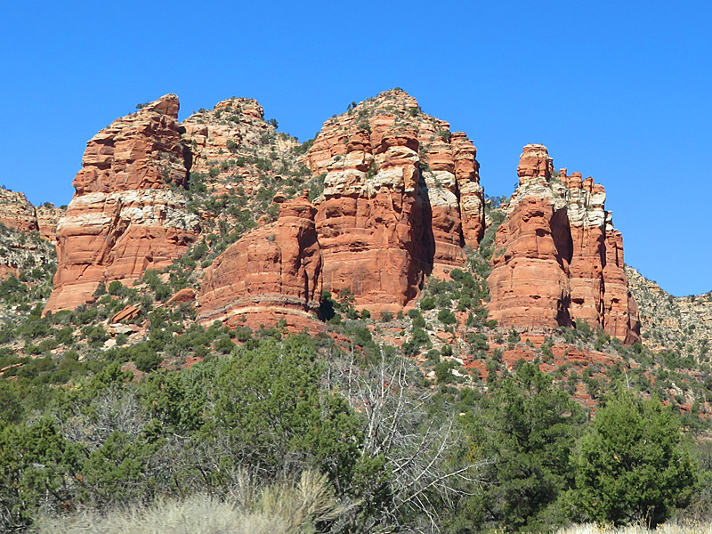
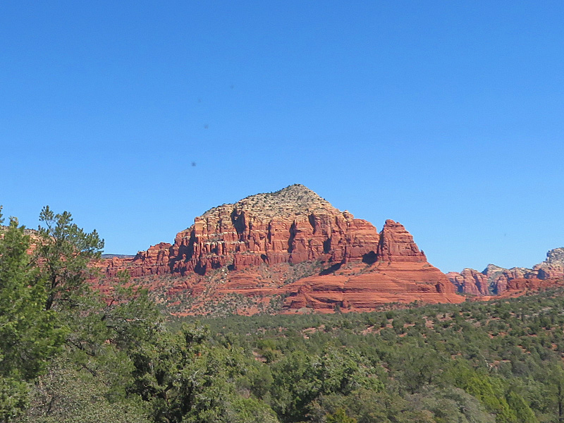
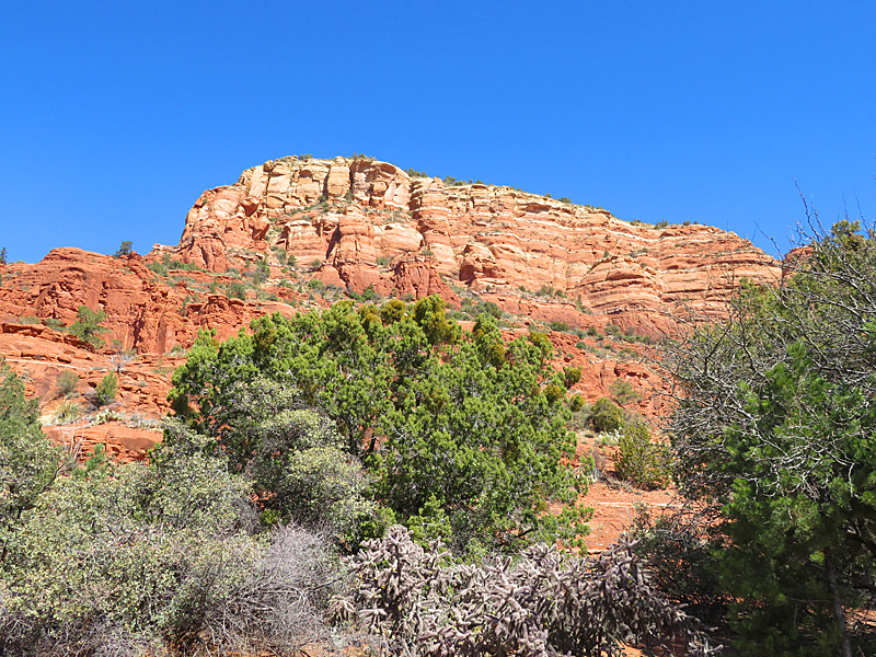
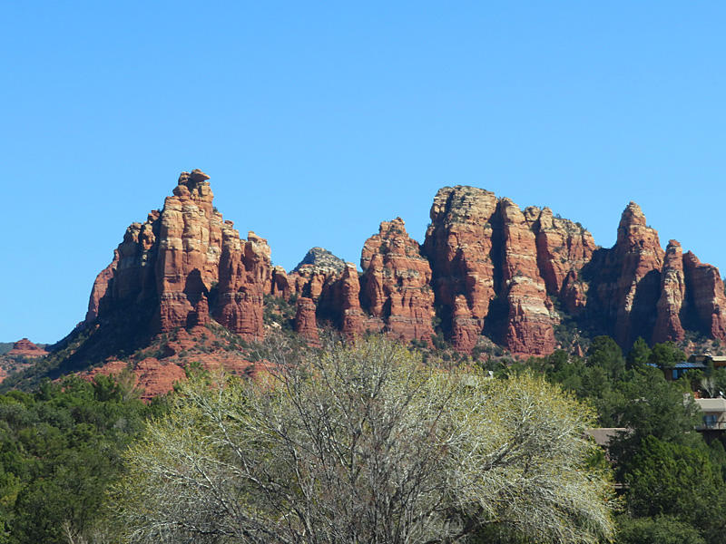
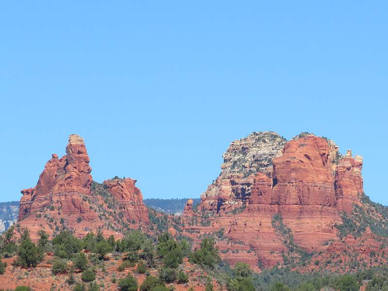
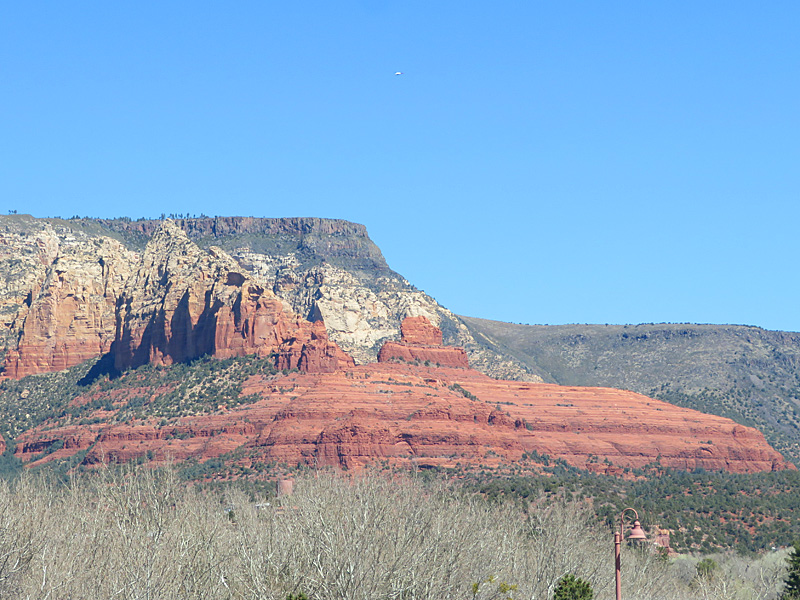
Bell Rock is one of the best known locations near Sedona. Iron gives the red color to the famous rocky terrain of the area around Sedona, Arizona. – photo by Joe AlexanderThe Sedona area is at the southern slope of the Colorado Plateau. About 80 miles north, the Grand Canyon cuts its way through the plateau.
This area used to be under a shallow sea. The red color in the rocks comes from iron mixed in with the limestone and sandstone.
It is supposed to be about a two-hour drive from Phoenix to Sedona. It took me more like three, but I stopped a few times along the way.