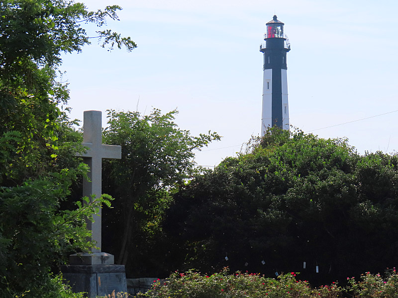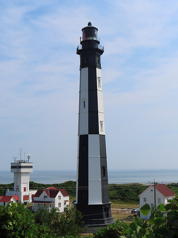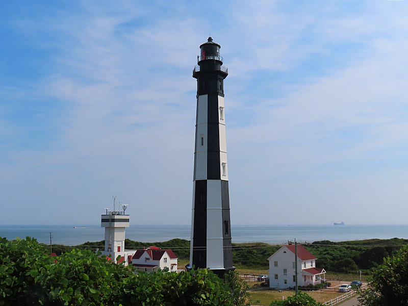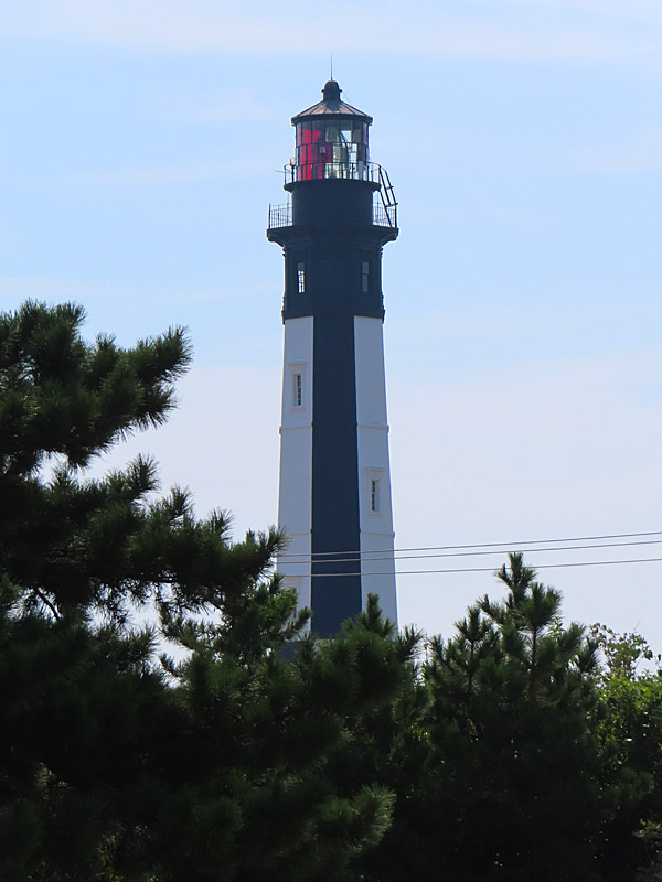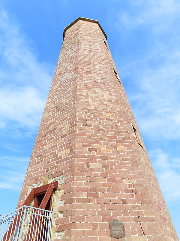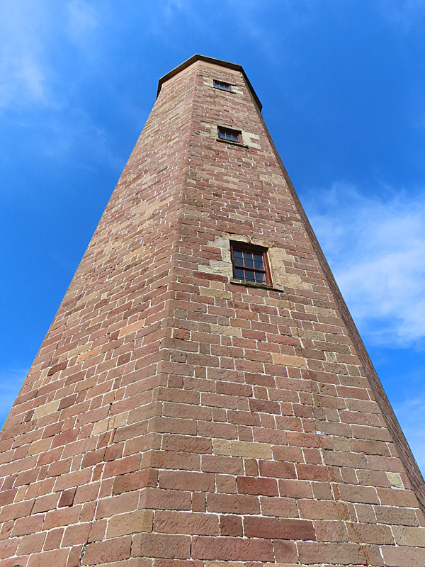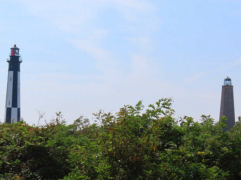
Both are located at Fort Story, still an active military base, at the north end of Virginia Beach.
The older brick lighthouse was authorized by the United States government and dates to 1792 – just after the American Revolution.
The newer black and white lighthouse was built in 1881.
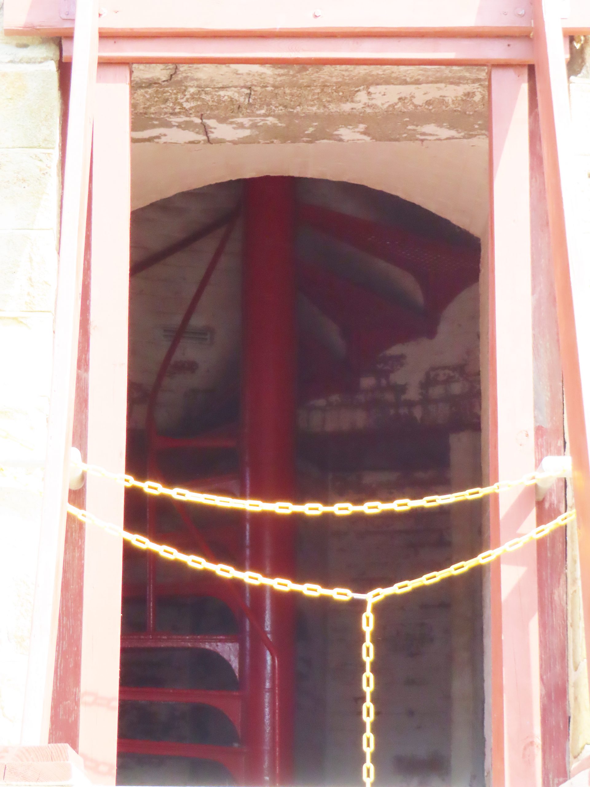
The older lighthouse is usually open to the public to climb up the stairs. It was closed the very hot September morning I visited because it was considered unsafe to climb the stairs in the extreme heat inside. Bummer.
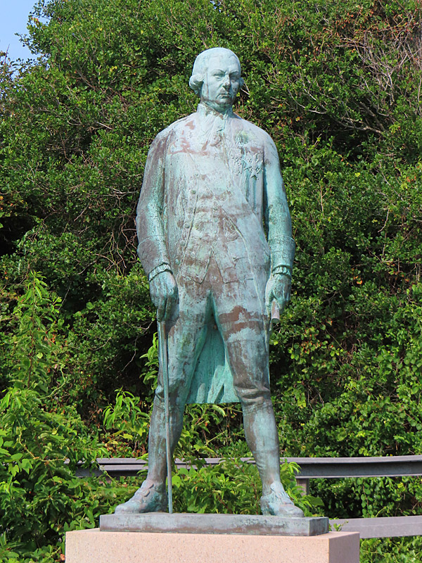
There is nearby statue honoring French admiral Francois Joseph Paul de Grasse – who engaged the British fleet in 1781 to help the American cause in the Revolutionary War.
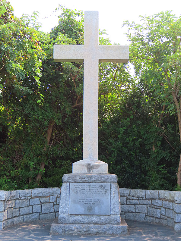
Also on the grounds is the First Landing Cross to commemorate site of the first English settlers from the London Company in 1607.
National Park Service: Cape Henry Lighthouse: www.nps.gov/came/cape-henry-lighthouses.htm
Visit Virginia Beach: Cape Henry Lighthouse: www.visitvirginiabeach.com