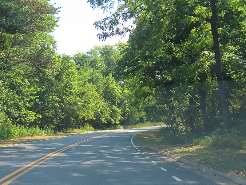
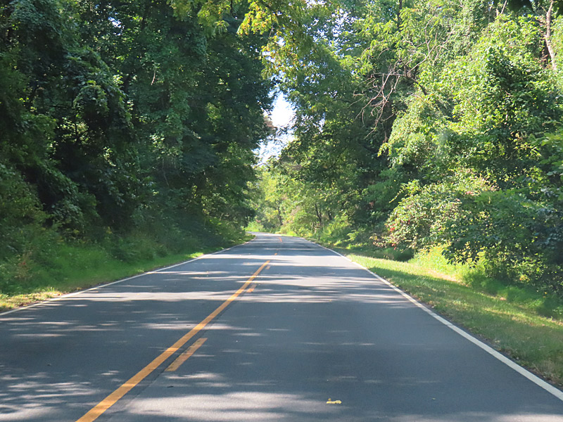
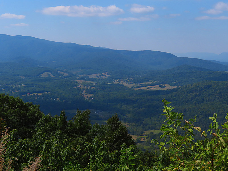
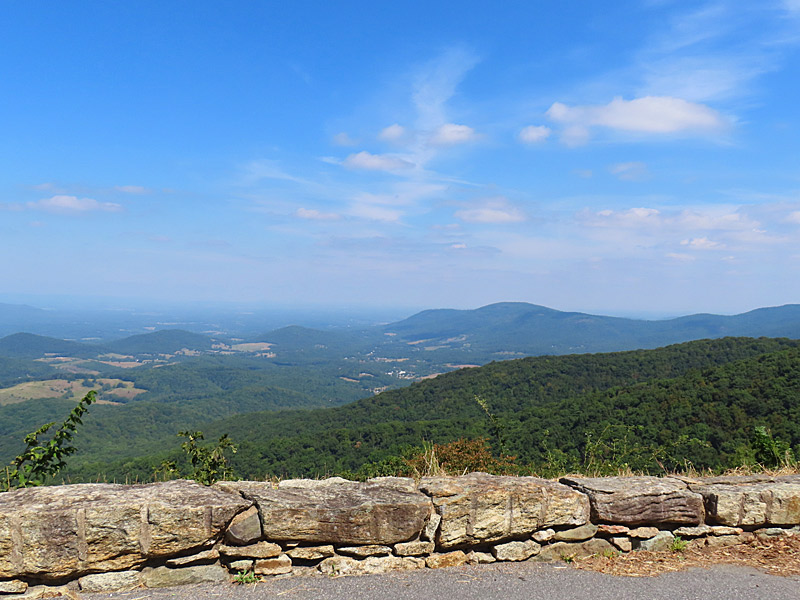
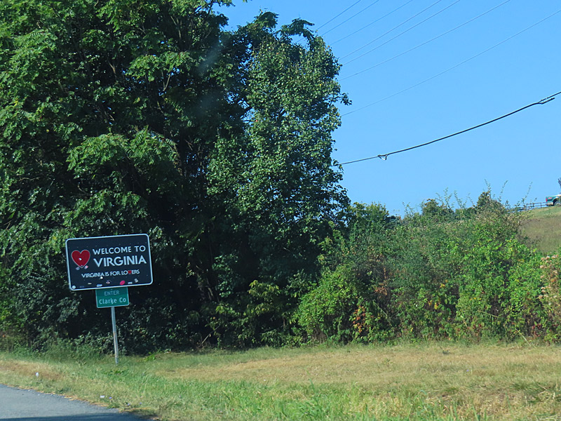
Skyline Drive’s northern entrance is a little more than an hour drive from Washington DC, but it feels like a world away. – photo by Joe AlexanderSkyline Drive runs for a little more than 100 miles through Shenandoah National Park in the Blue Ridge Mountains.
The northern park entrance is in Front Royal, Virginia – about 70 miles west of Washington DC. Skyline Drive winds roughly north and south to near Waynesboro, Virginia.
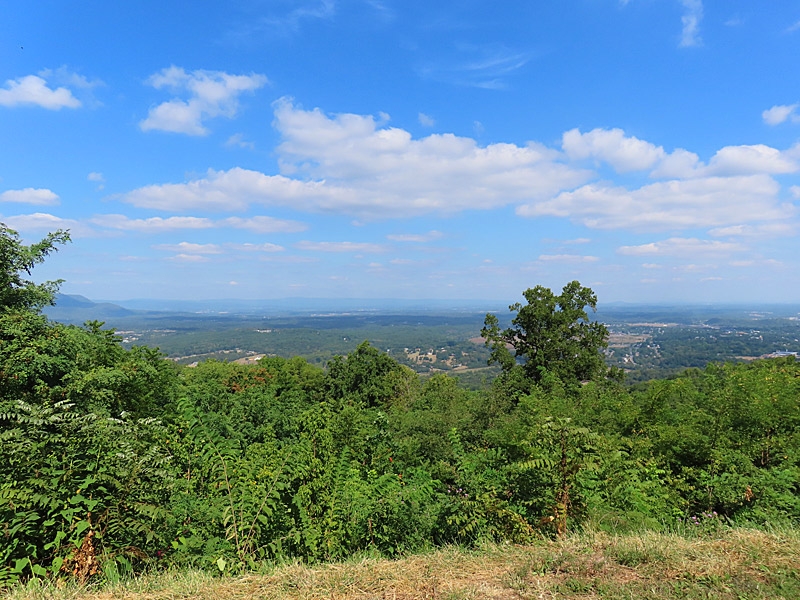
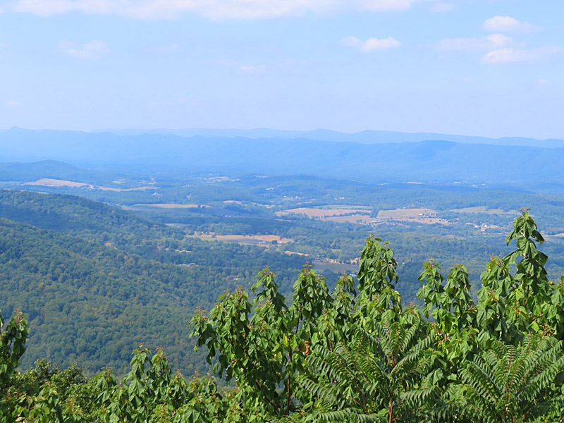
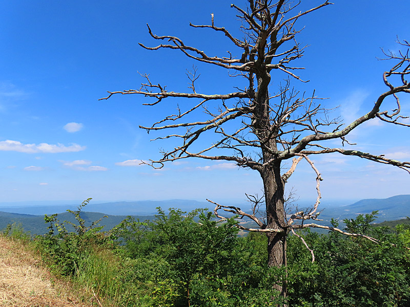
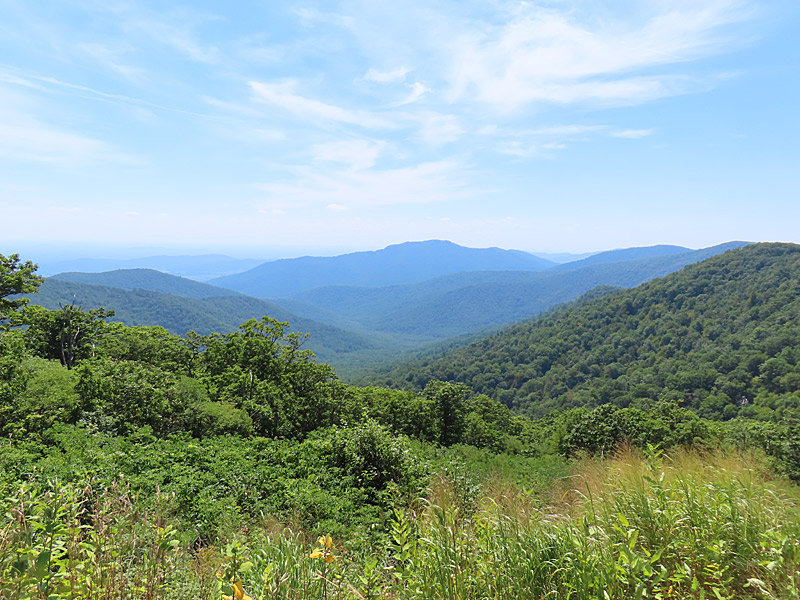
I got there about a month to early for the prime viewing of the fall colors in the park.
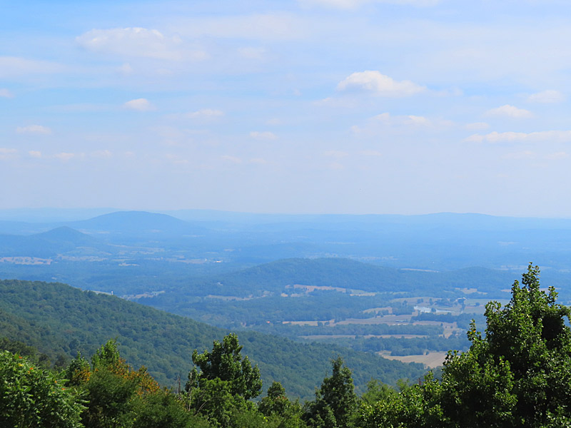
There are a number of overlooks and places to park along Skyline Drive, where the highest elevation is 3,680 feet.
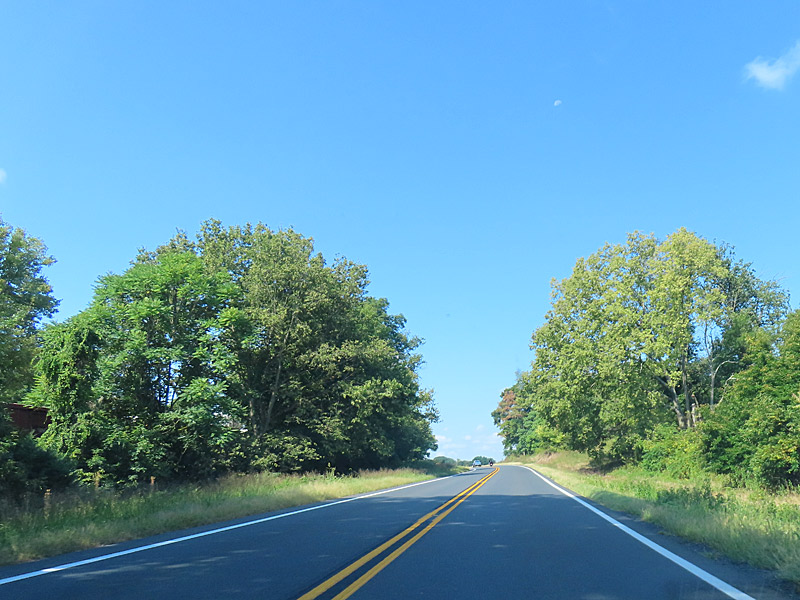
Crossing into Virginia on Highway 340. – photo by Joe AlexanderI started my day driving west on a highway south of but roughly parallel to the Mason-Dixon Line. I passed exits for towns whose names rang a bell from Civil War history.
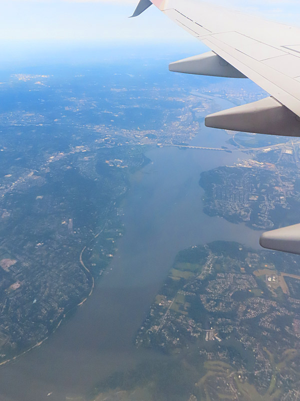
Places along Highway 430 like Frederick, Sandy Hook and Boonsborough in Maryland and Harpers Ferry in West Virginia. I crossed over the Potomac River along the state lines of Maryland and West Virginia.
Due to an unexpected road closure, I spent a couple of hours driving south on the mostly two-lane Stonewall Jackson Memorial Highway.
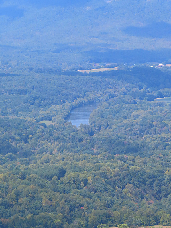
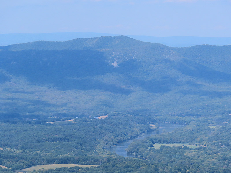
I crossed the Shanendoah River and two of its forks.
Along the way I saw a lot of small-town Virginia.
It wasn’t the day I had envisioned, but it was certainly a change of scenery.
Along highway 340 on the way to Front Royal, Virginia.Along highway 340 on the way to Front Royal, Virginia.
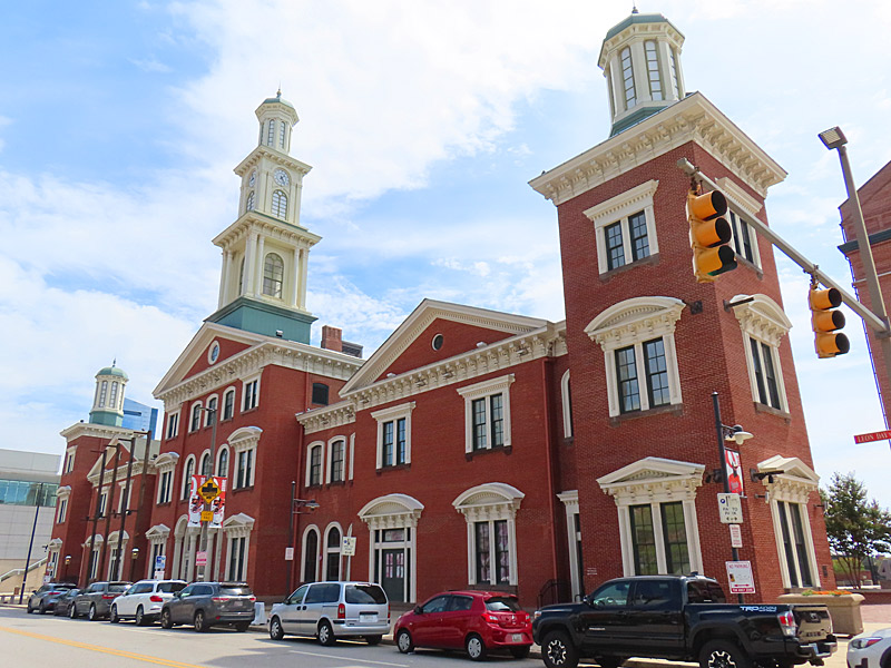
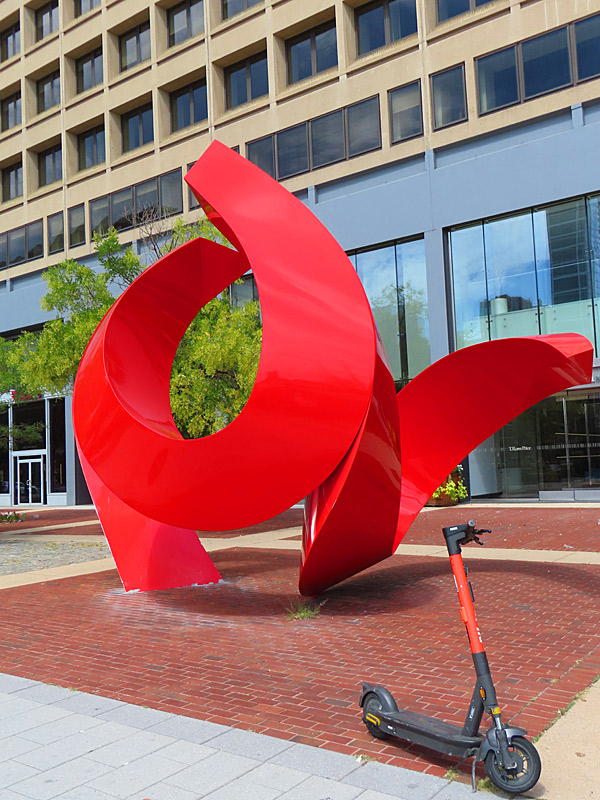
The Inner Harbor in downtown Baltimore, Maryland. – photo by Joe AlexanderI remember trips to Baltimore from when I was a youngster in the back seat of my parents’ car.
This time, Charm City is just a quick stop on the way to some new scenery.
Girl In A Coma playing in San Antonio, Texas, in July, 2016. – photos by Joe AlexanderSan Antonio legendary punk rockers Girl In A Coma announced dates for three reunion concerts:
Dec. 7 at the Continental Club in Houston
Dec. 8 at Paper Tiger in San Antonio
Dec. 9 at The Mohawk in Austin
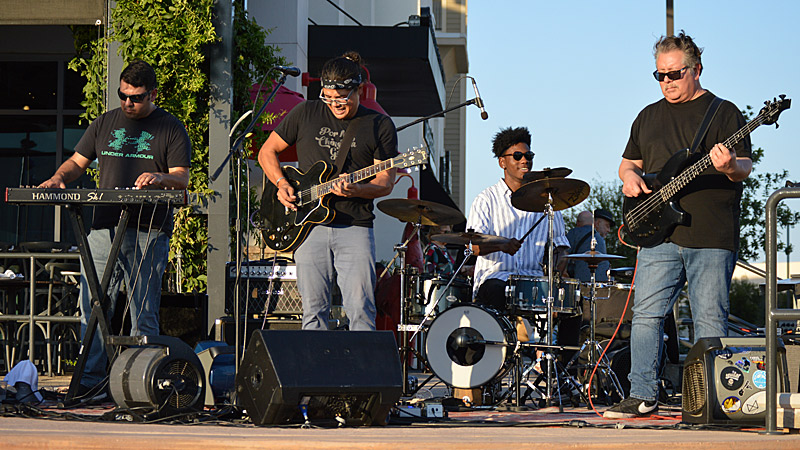
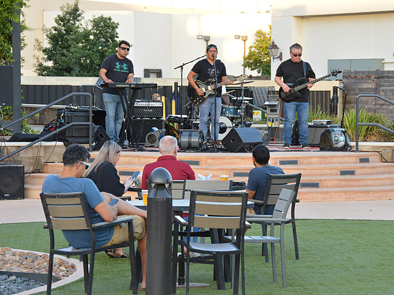
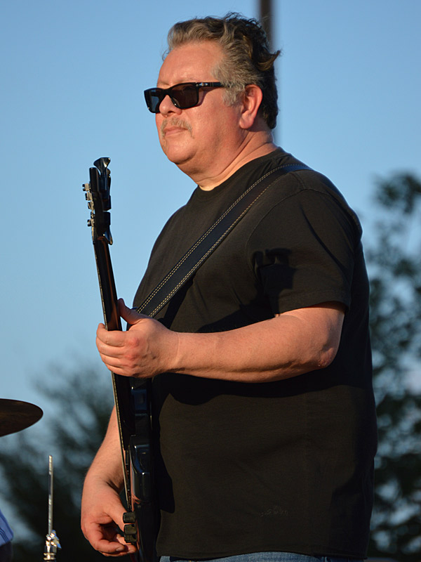
The Chris Cuevas Project with some sunset blues. – photo by Joe AlexanderThe Chris Cuevas Project played as the setting sun lit up Commons Park at the Rim on San Antonio’s north side on Wednesday, Aug. 2, 2023.
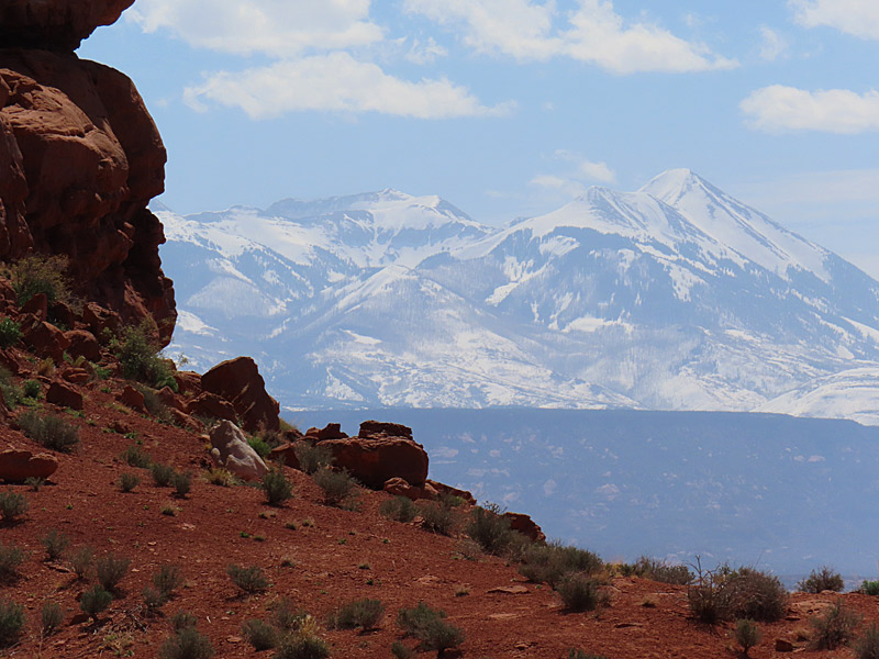
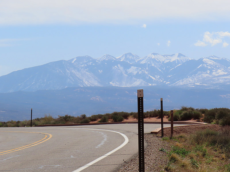
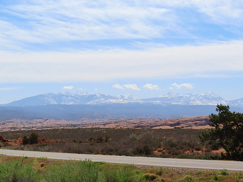
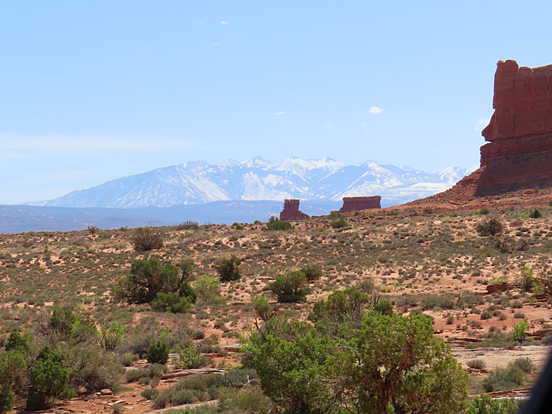
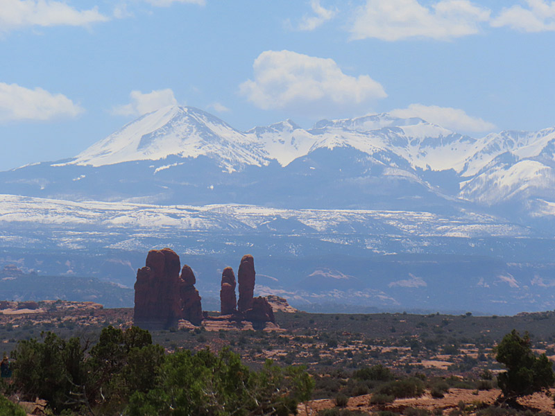
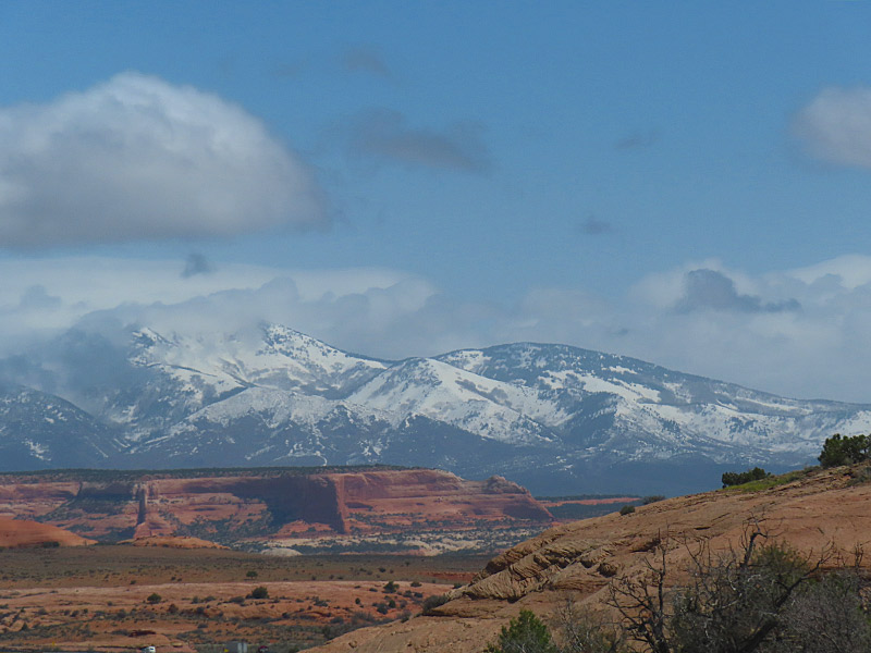
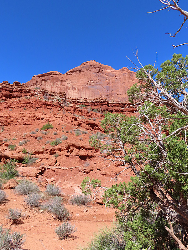
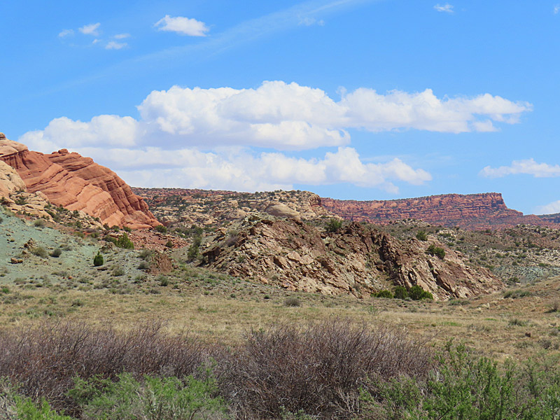
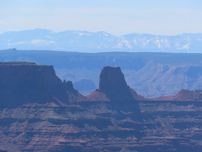
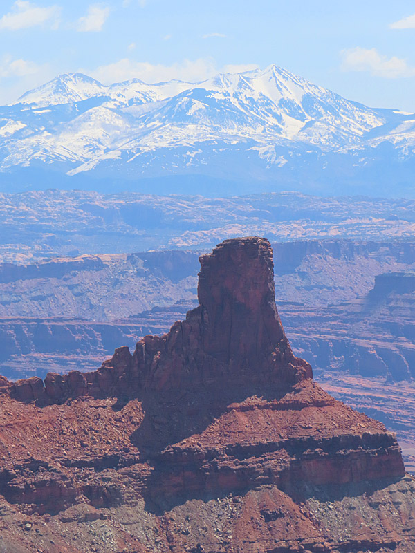
The La Sal Mountains in southeast Utah. View is looking east from Arches National Park in late April. – photo by Joe AlexanderThe La Sal Mountains make for a handy reference point in and around Moab, Utah. The peaks were covered with snow in April and visible from almost anyplace near Moab.
The La Sal Mountains are located about 20 miles southeast of Moab in the Manti-La Sal National Forest near Utah’s border with Colorado.
The mountain peaks are over 12,000 feet – the second highest mountain range in Utah.
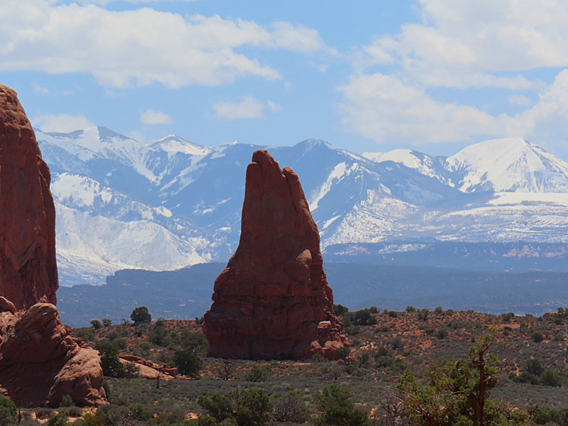
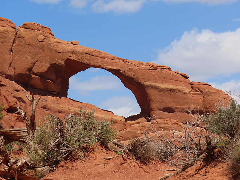
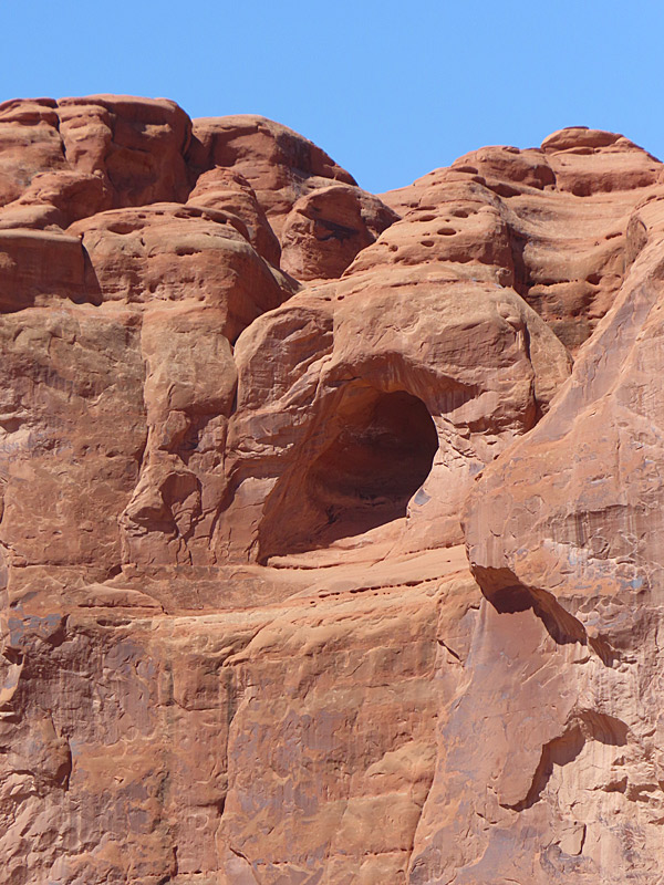
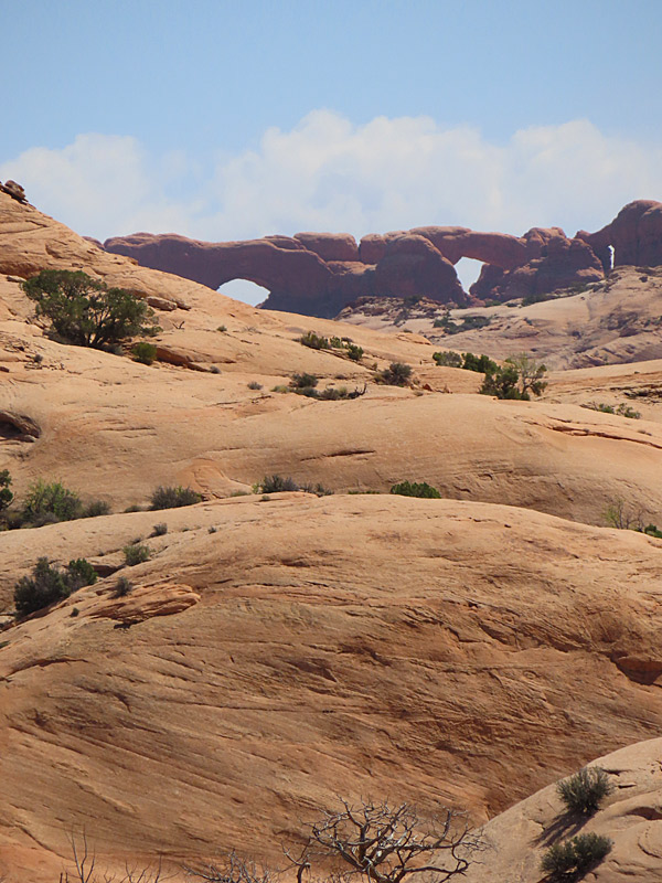
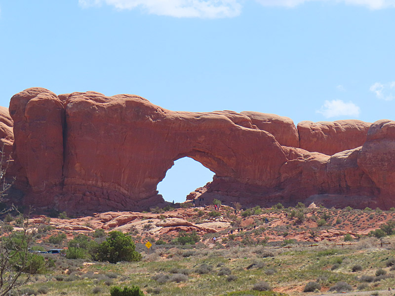
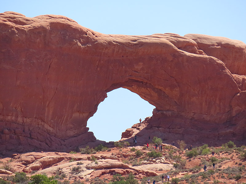
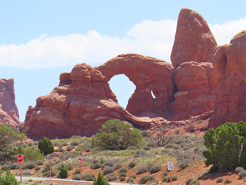
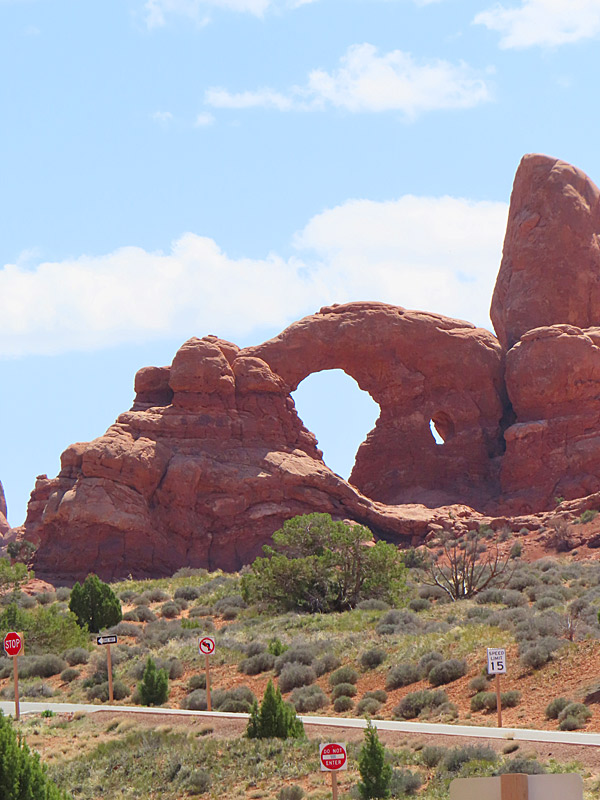
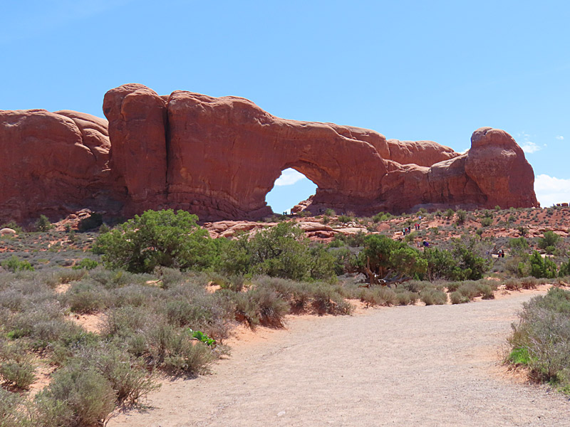
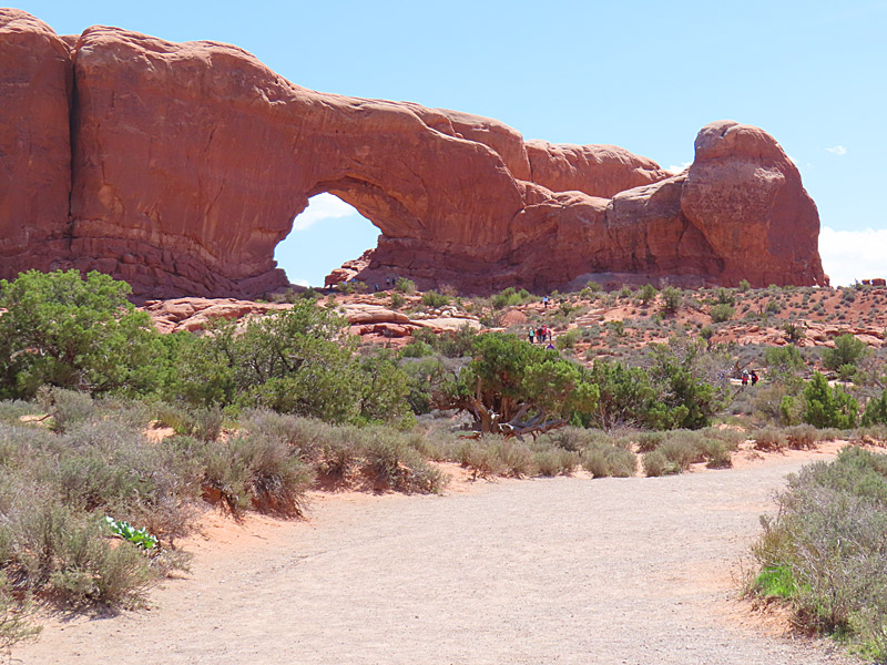
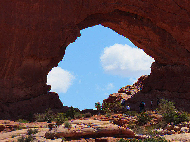
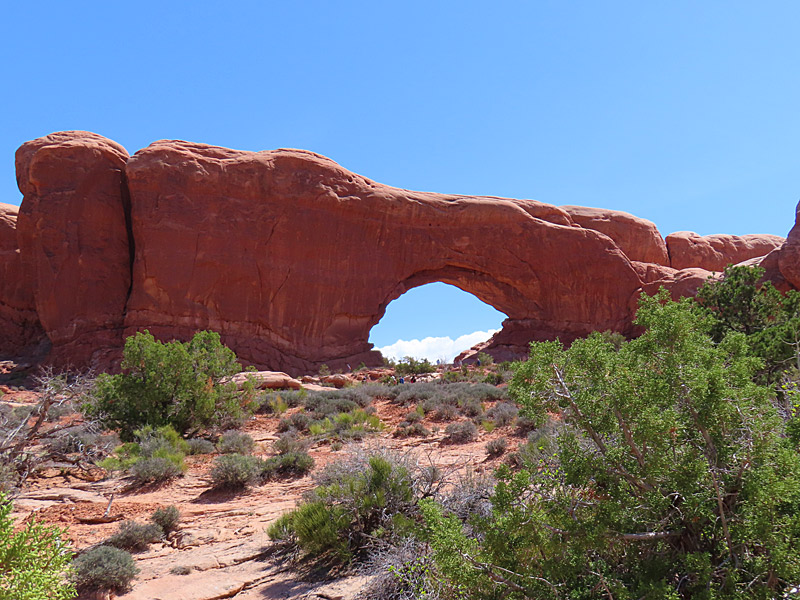
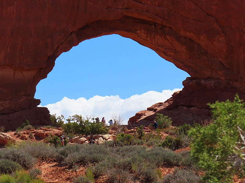
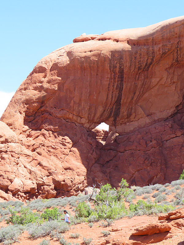
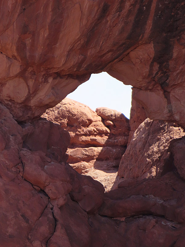
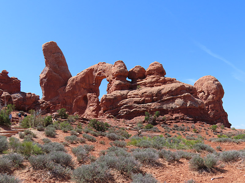
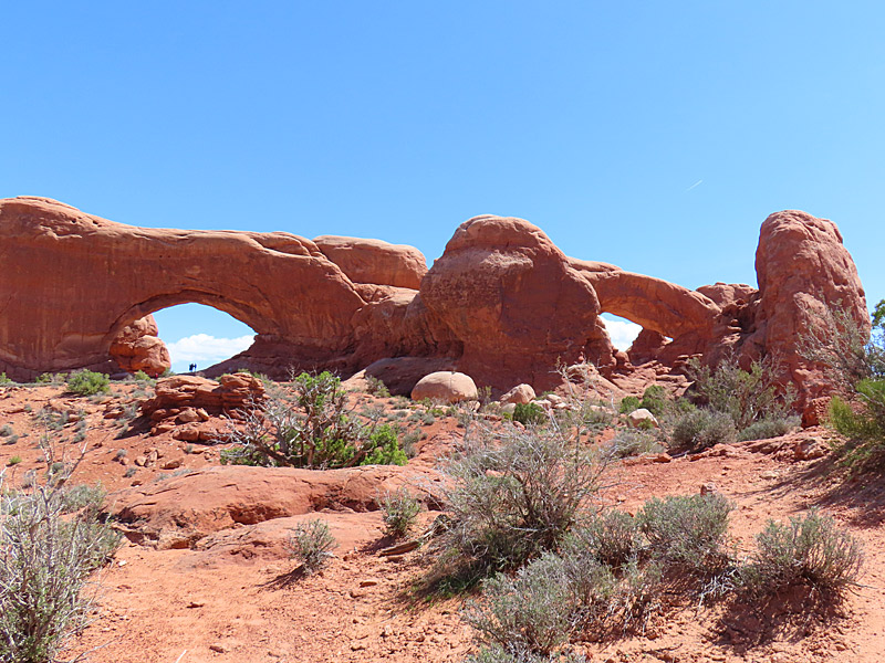
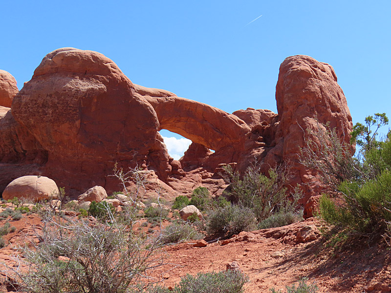
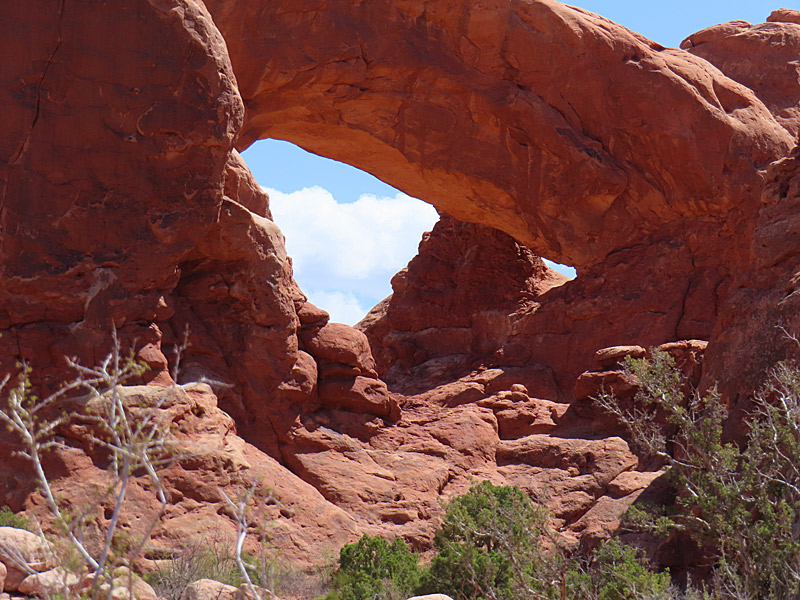
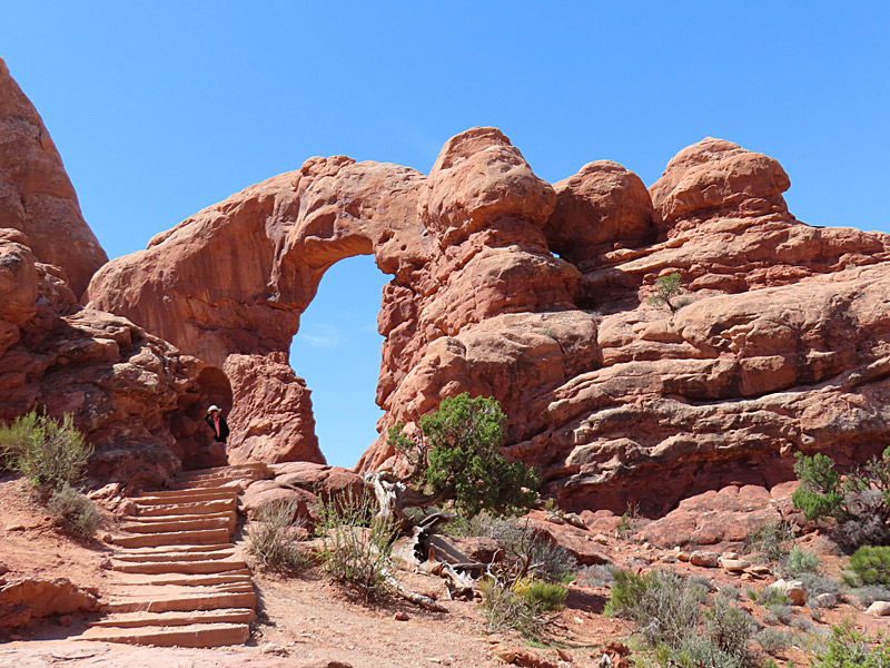
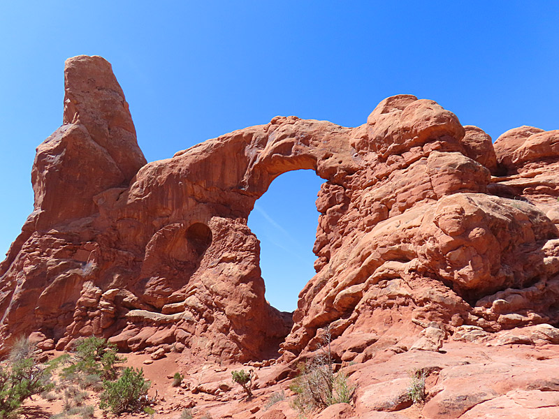
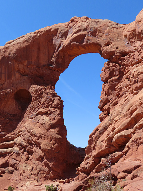
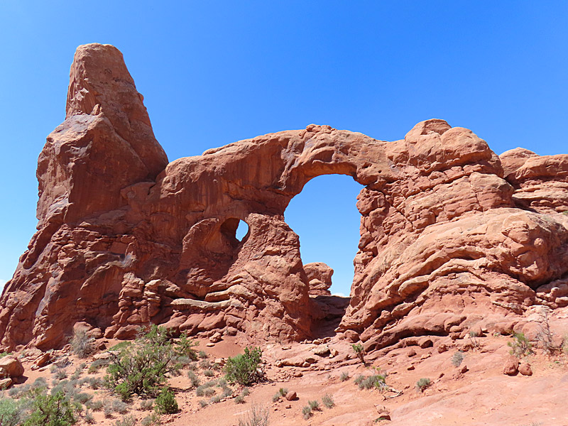
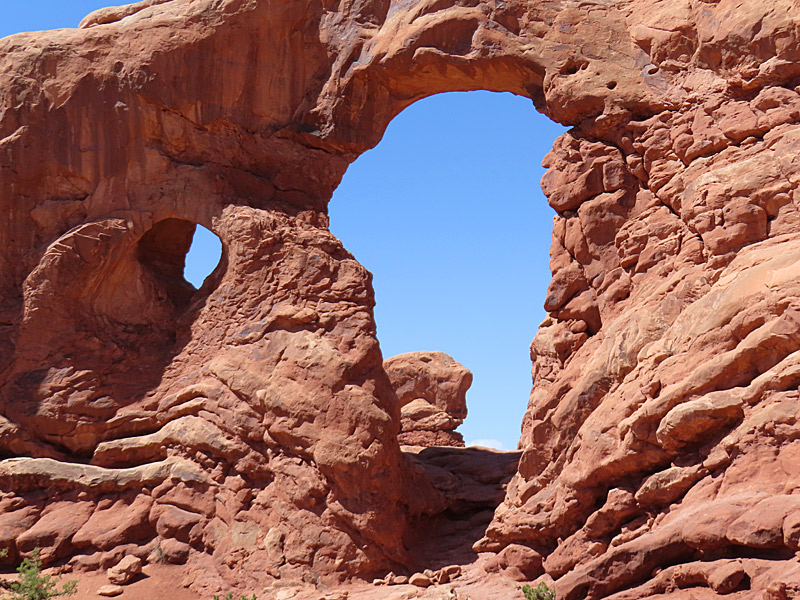
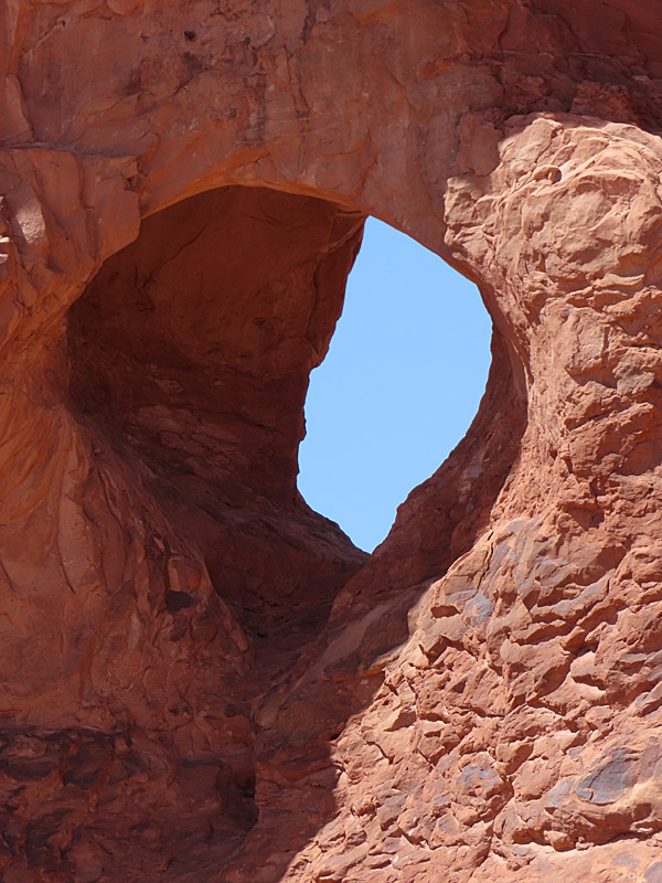
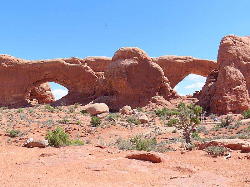
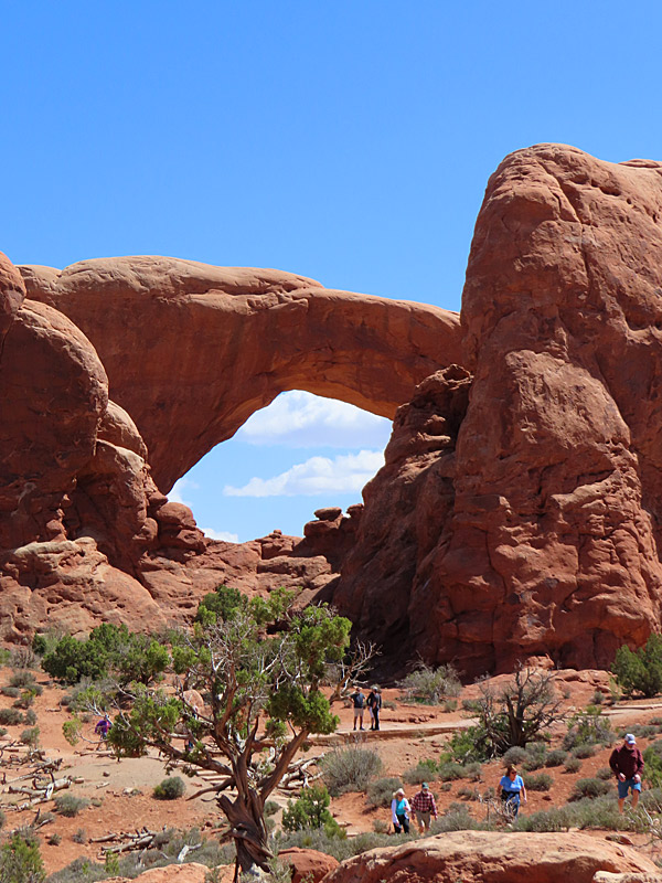
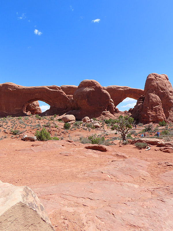
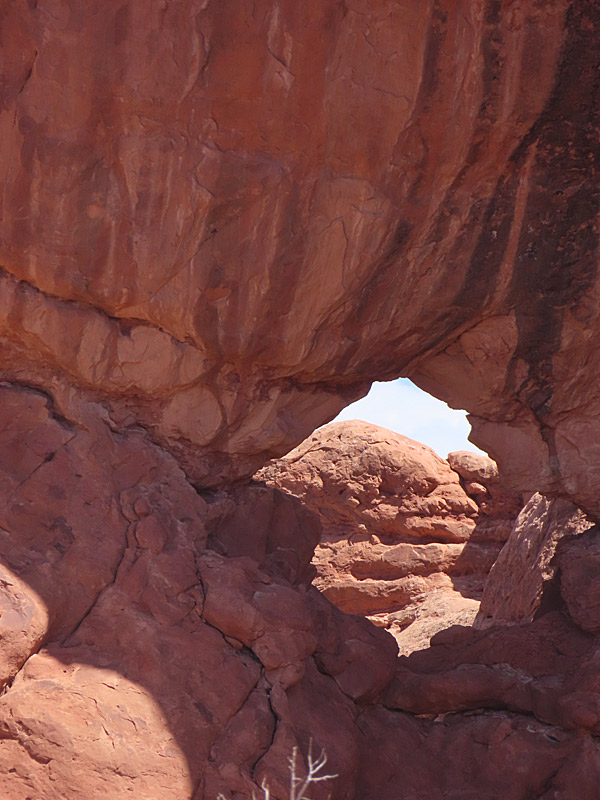
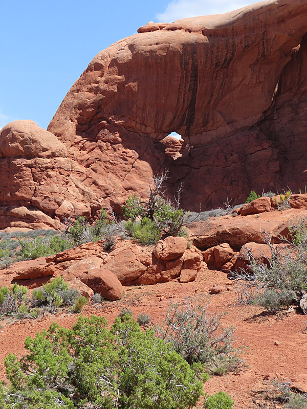
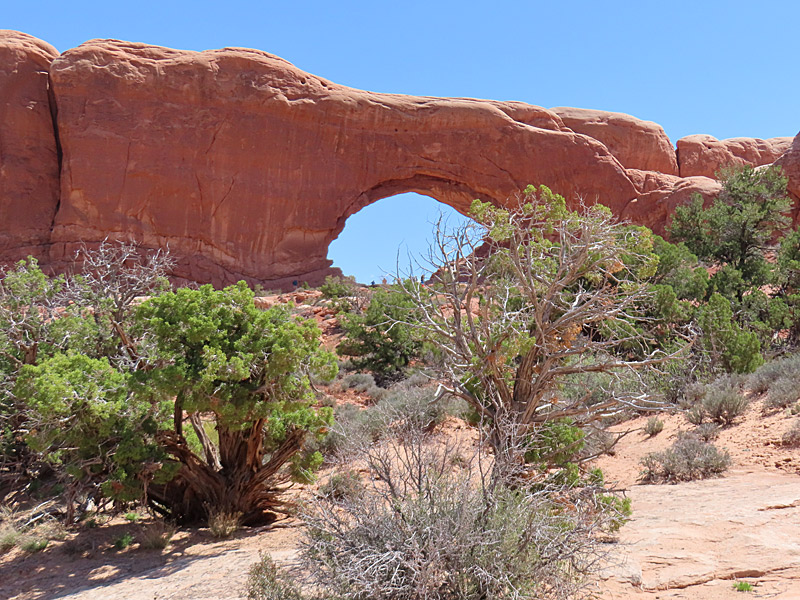
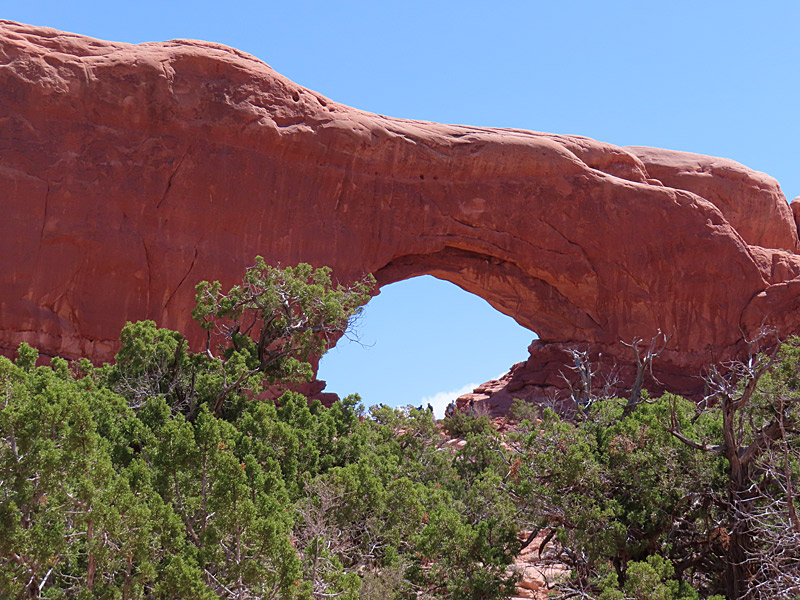
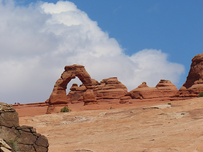
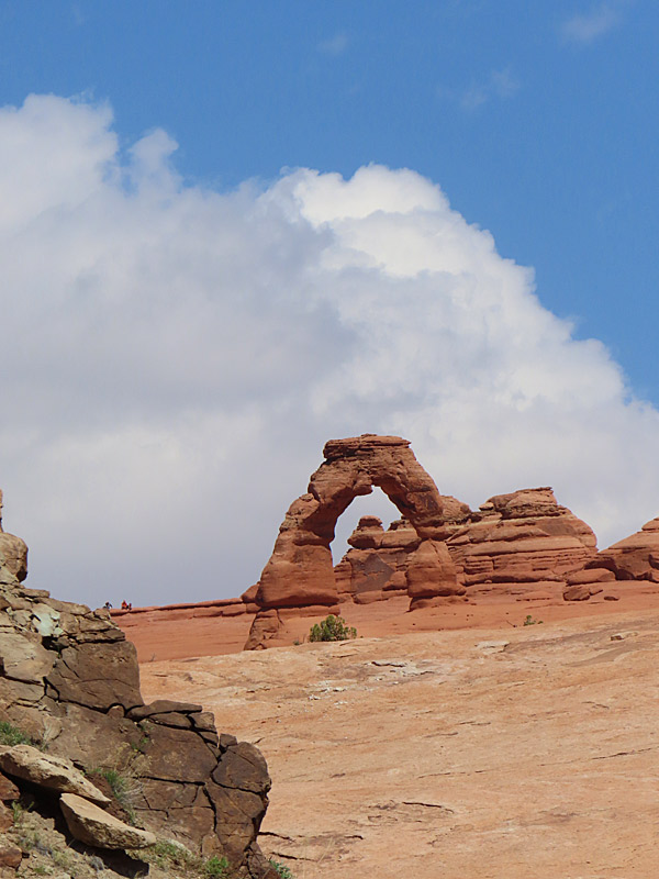
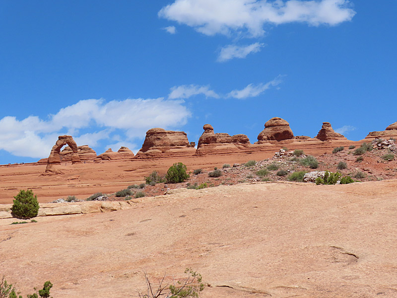
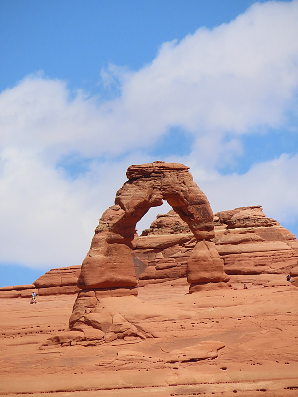
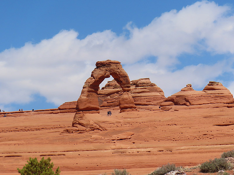
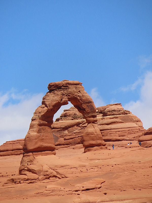
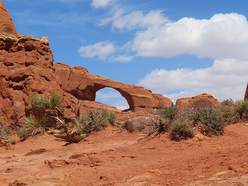
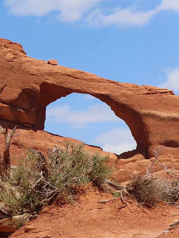
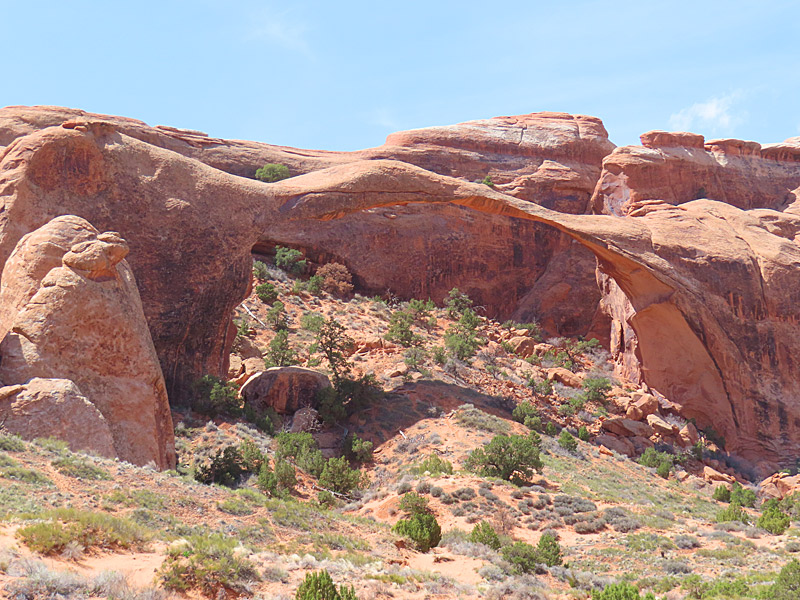
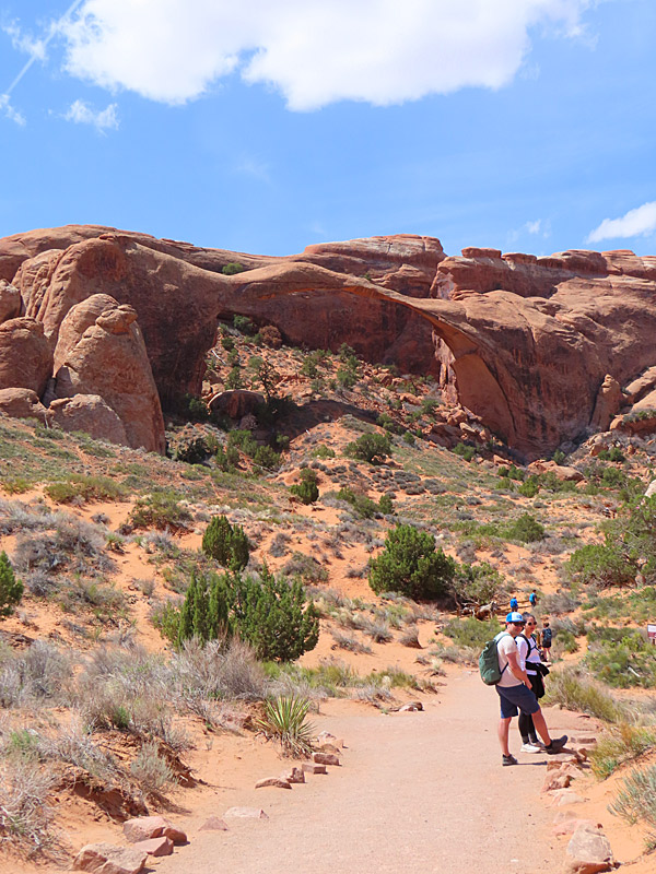
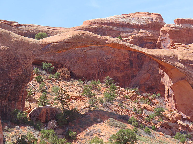
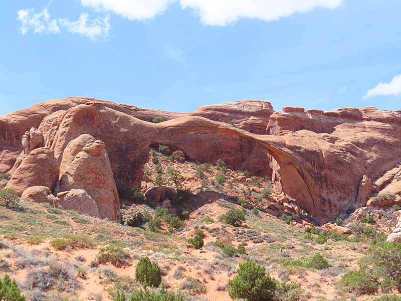
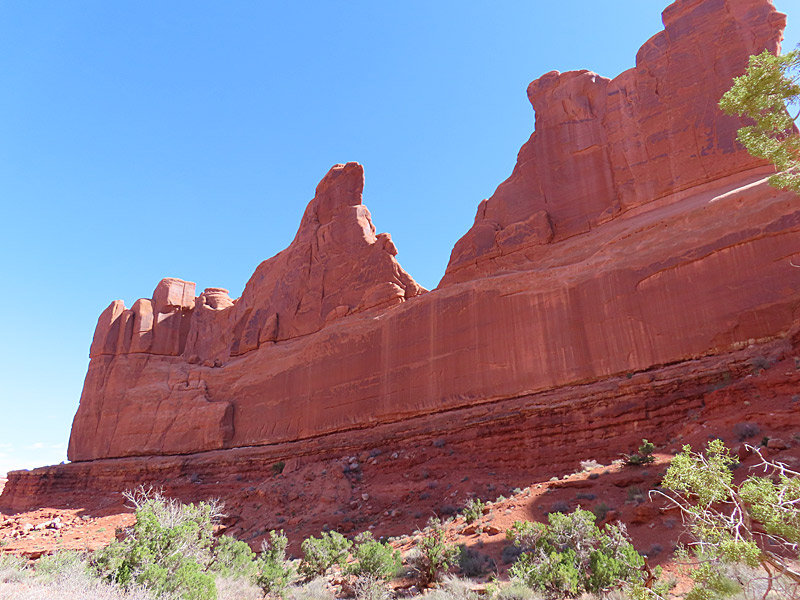
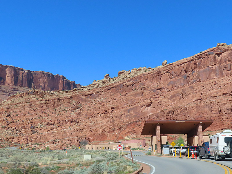
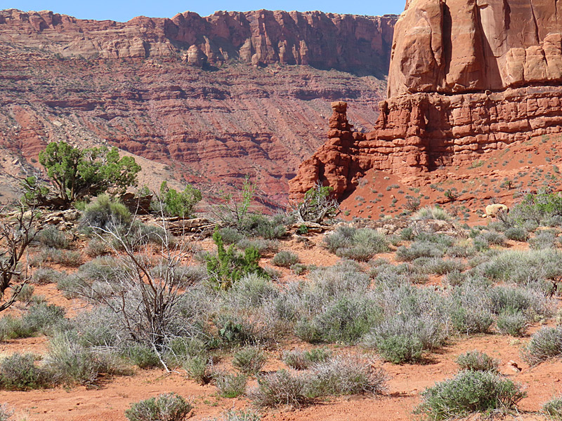
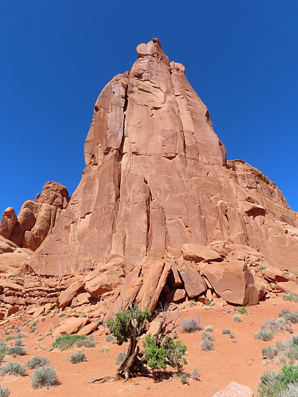
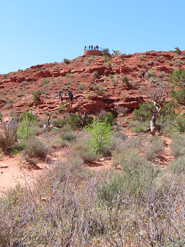
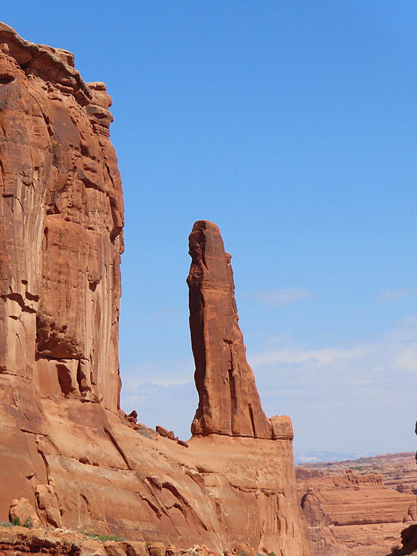
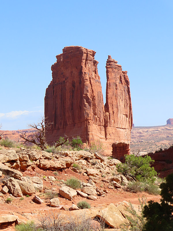
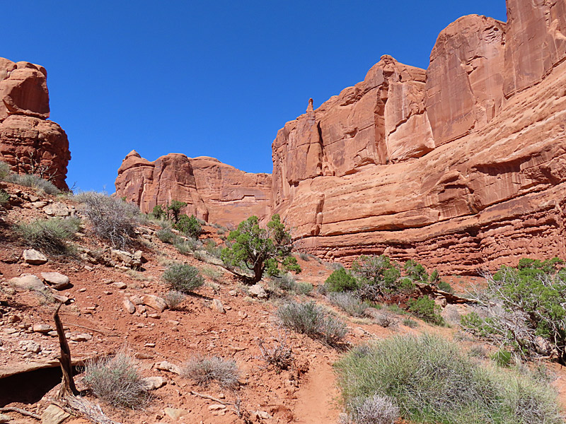
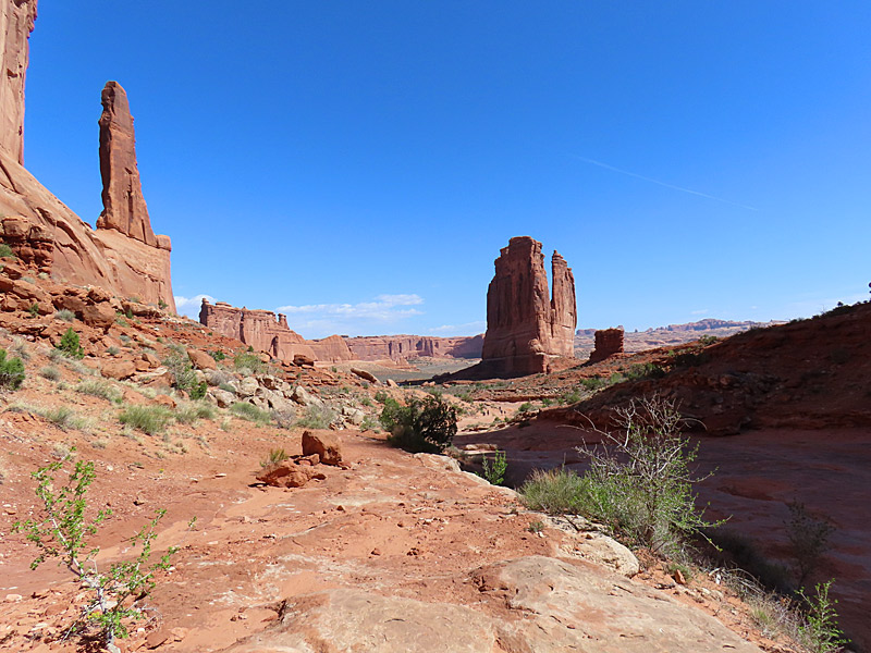
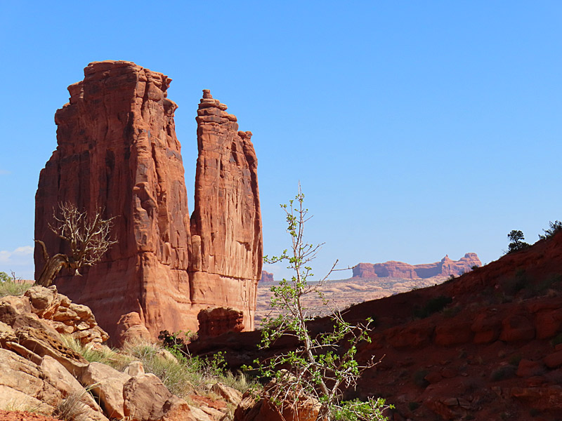
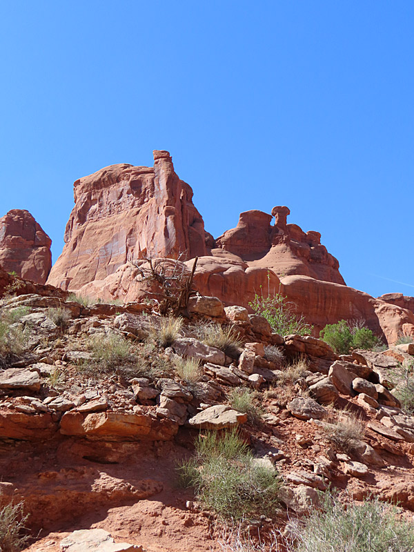
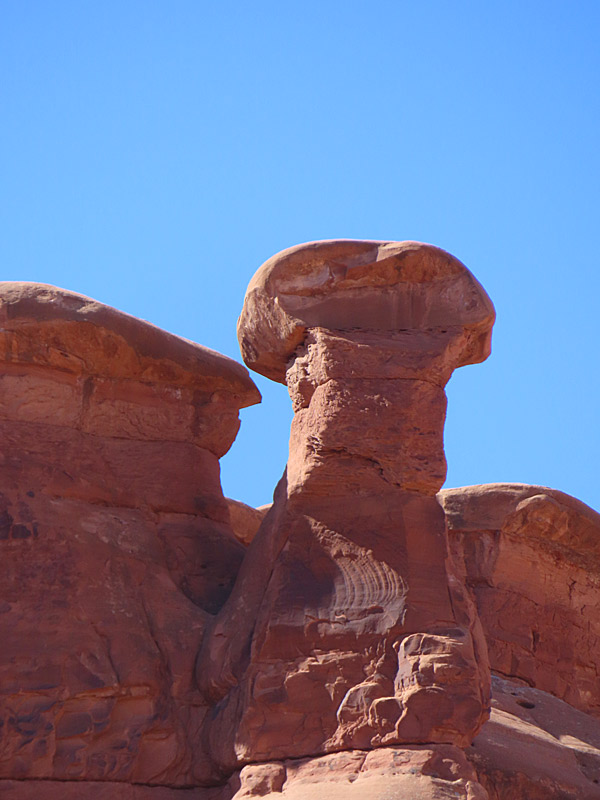
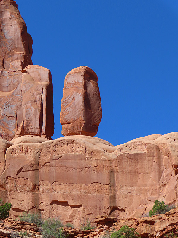
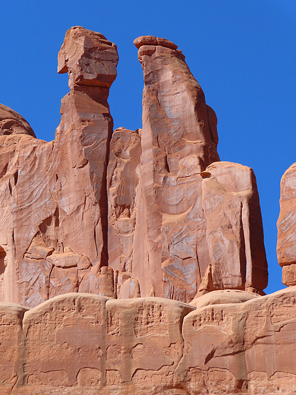
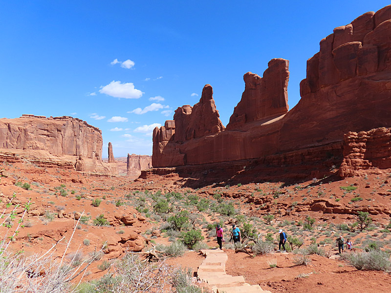
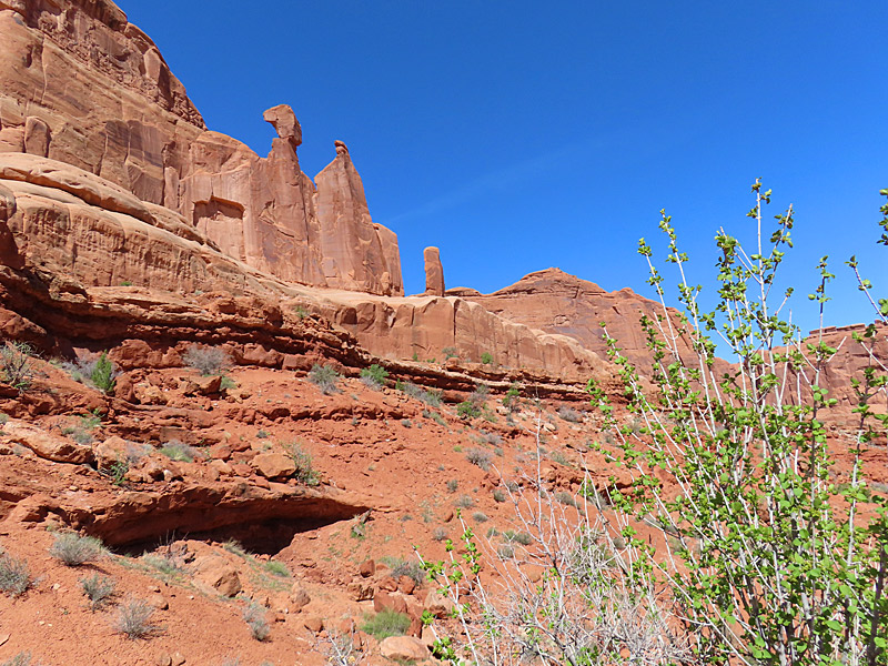
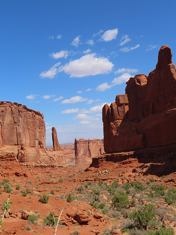
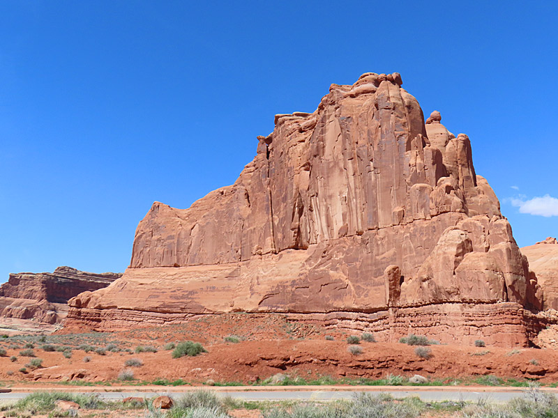
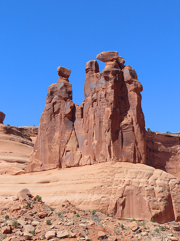
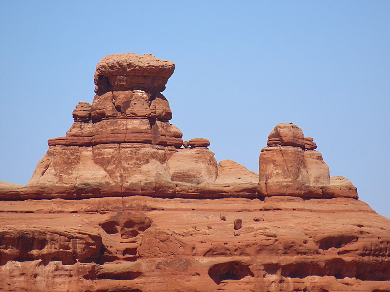
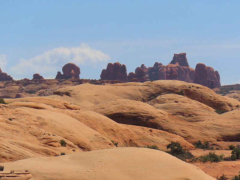
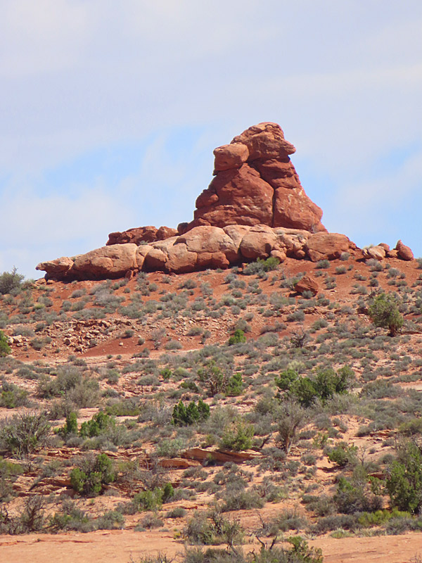
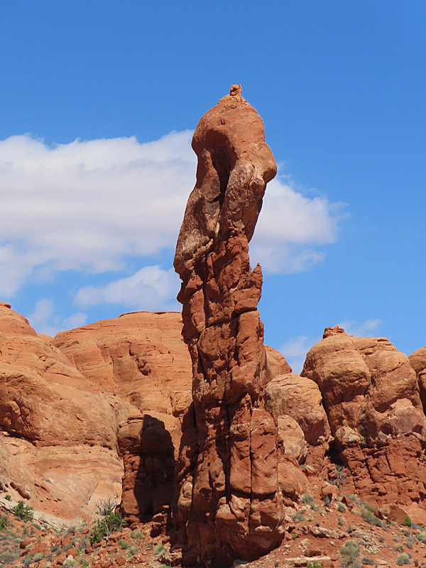
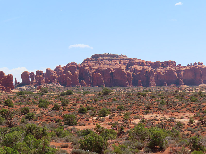
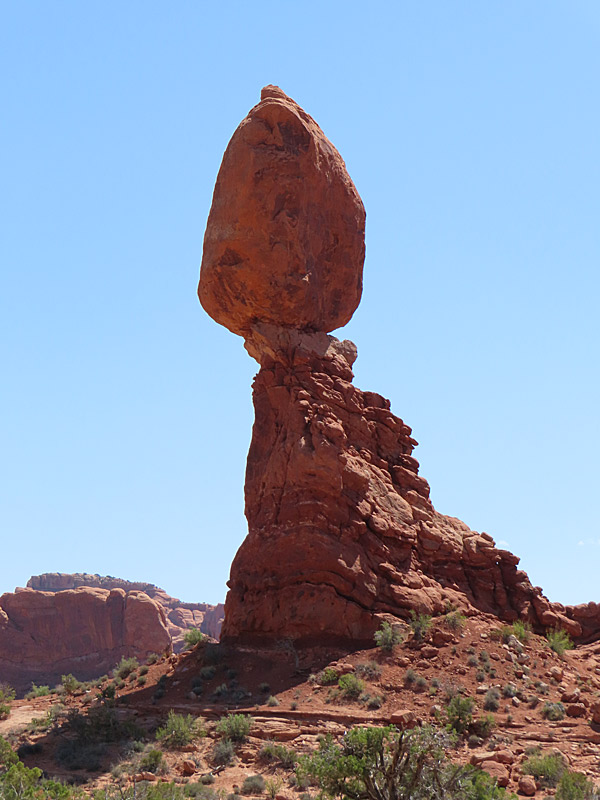
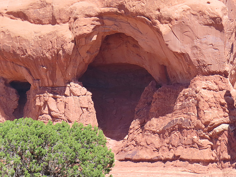
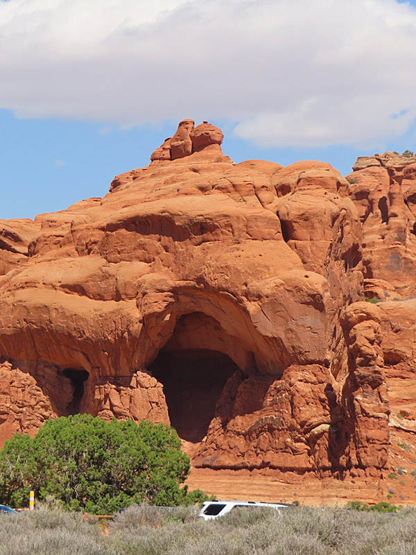
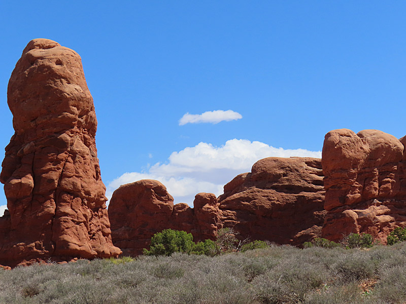
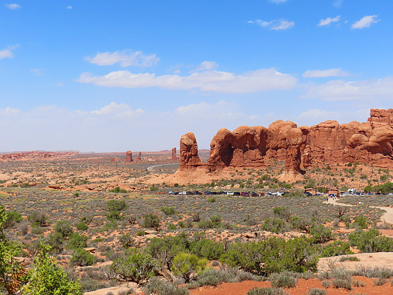
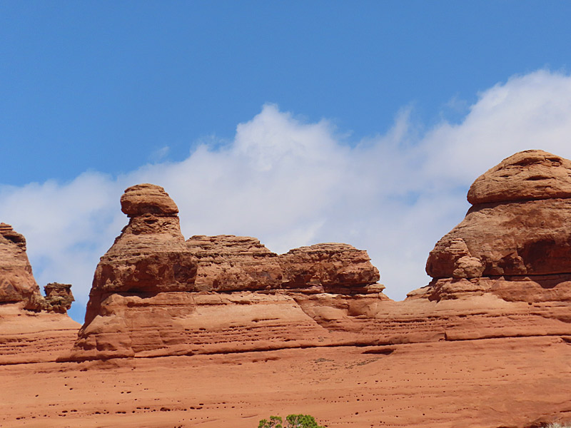
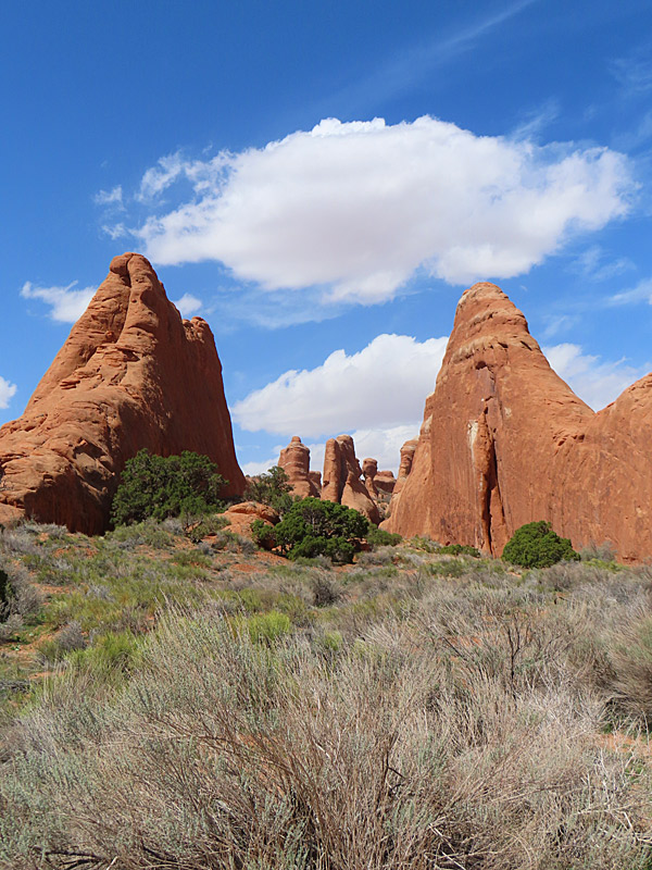
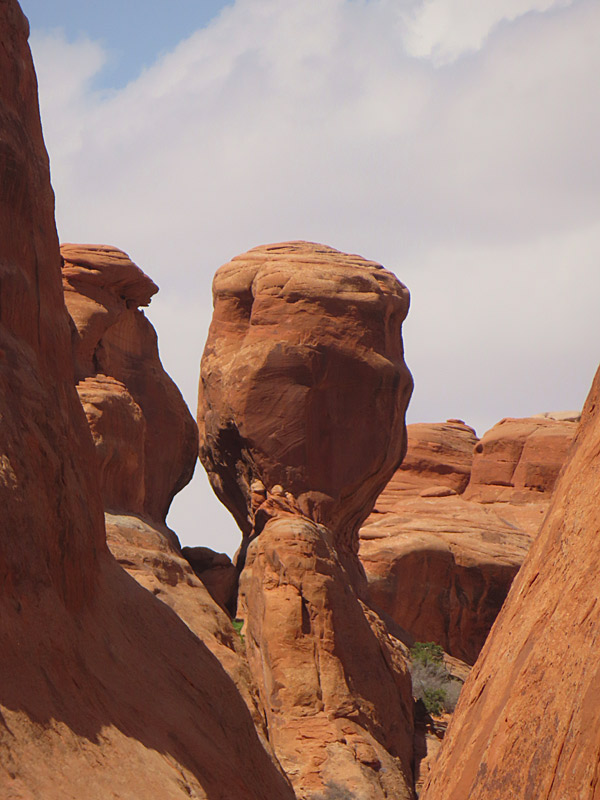
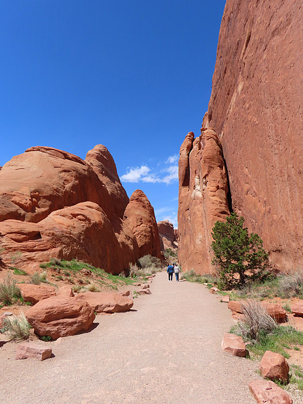
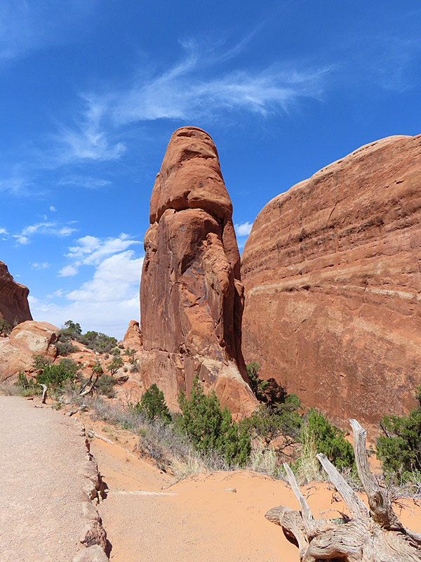
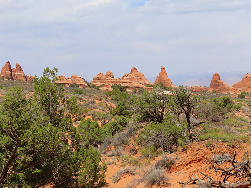
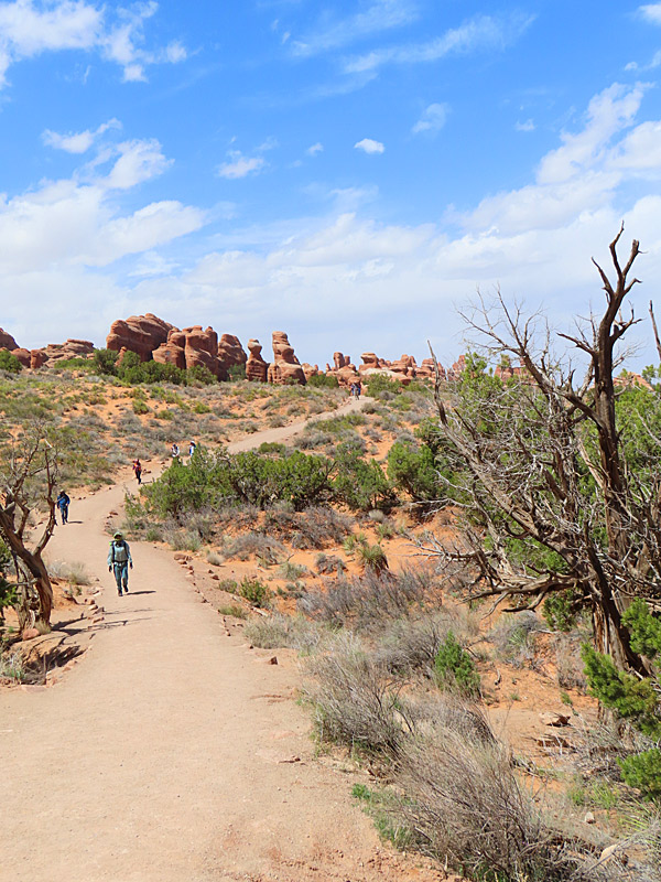
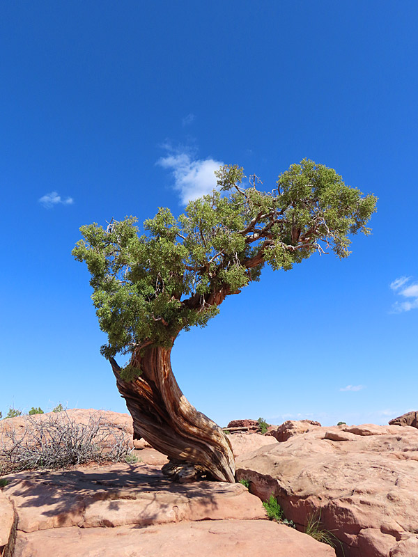
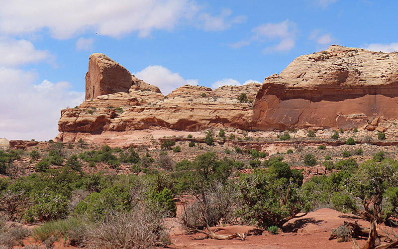
Arches National Park in southern Utah in April, 2023. – photo by Joe AlexanderPeople flock to Arches National Park for the red rocks, blue skies and most of all for the namesake arches.
Be aware that from April 1 to October 31, 2023, you need a reservation in the form of a Timed Entry Ticket. More information on that here:
Official site: Arches: National Park Service
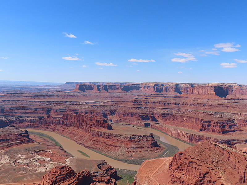
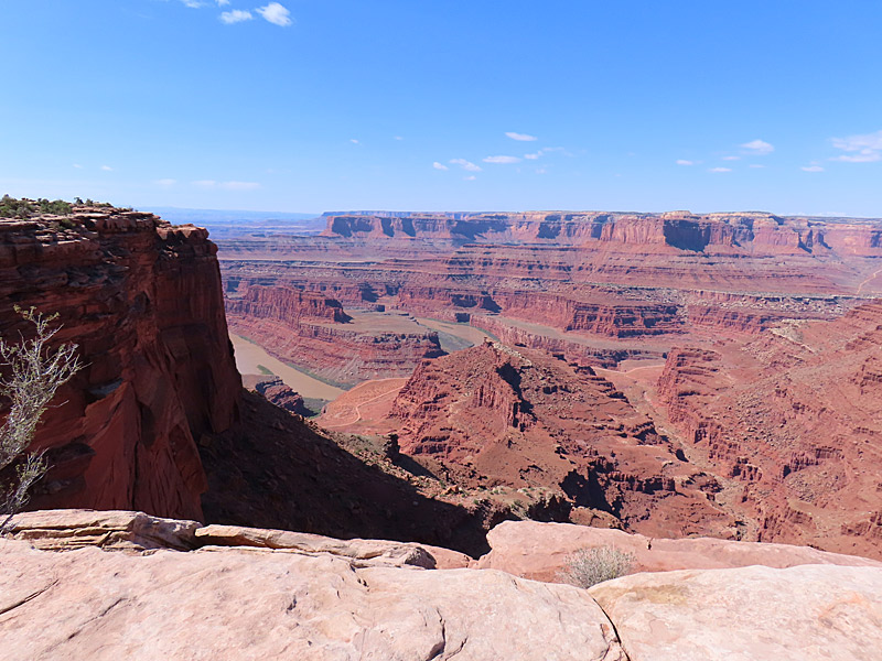
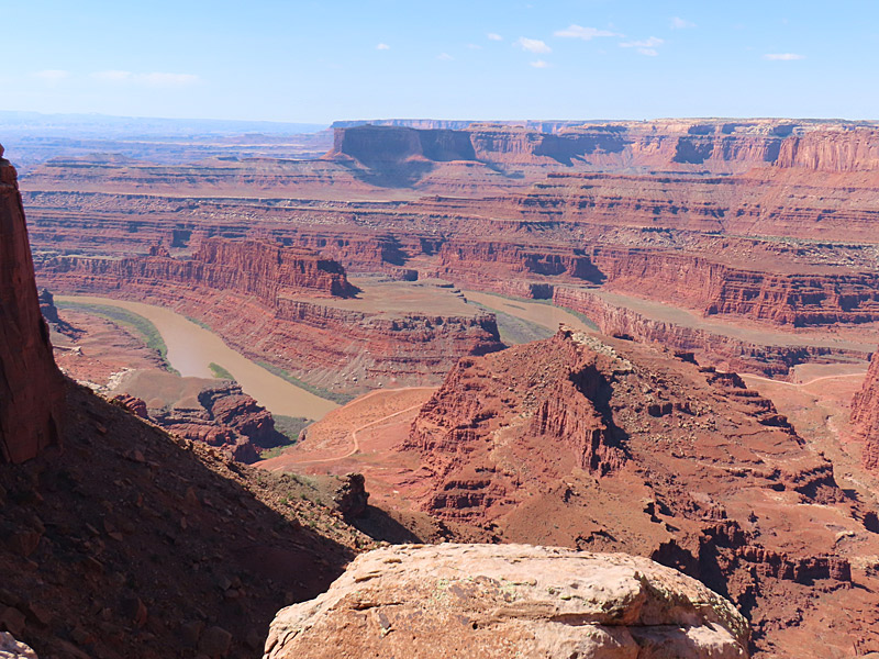
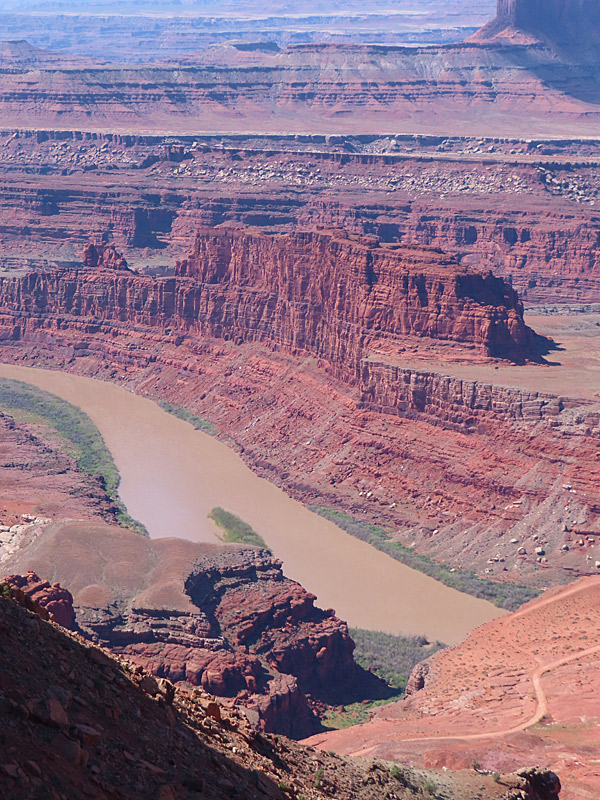
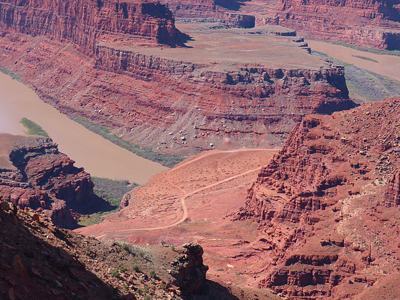
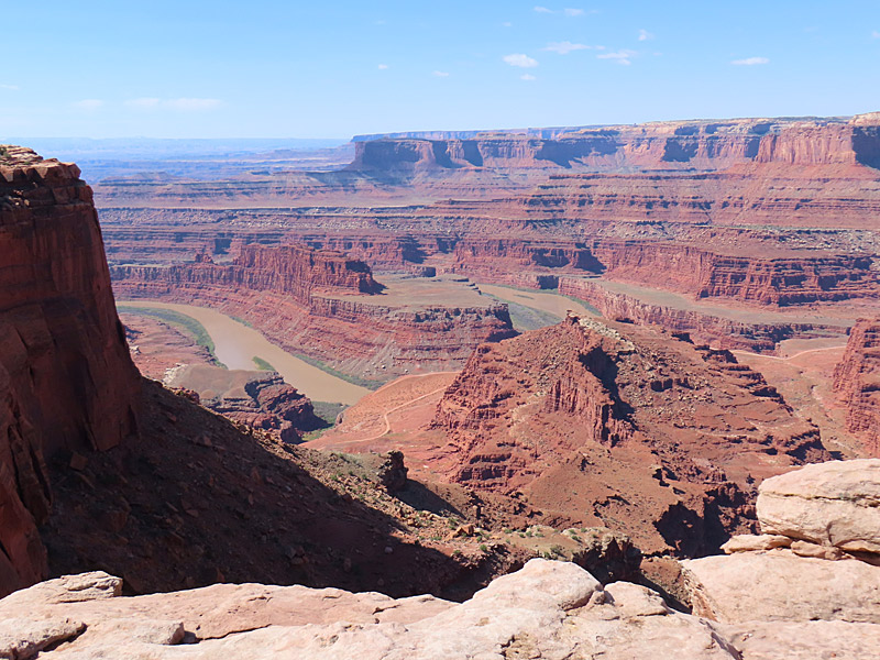
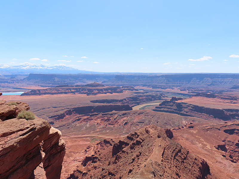
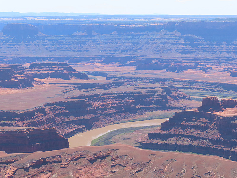
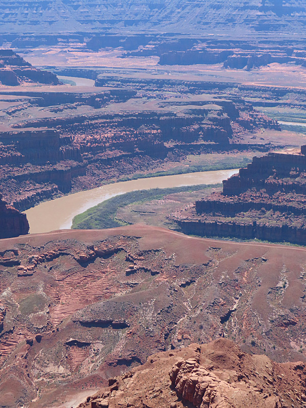
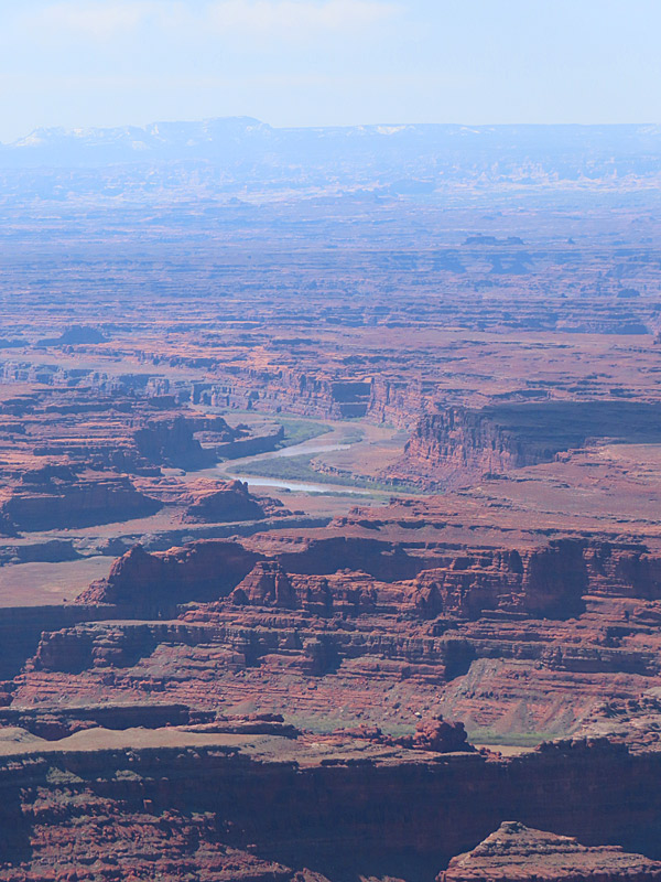
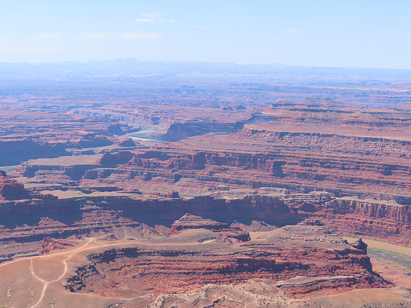
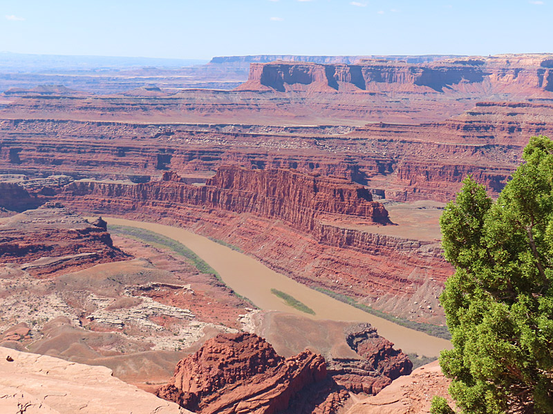
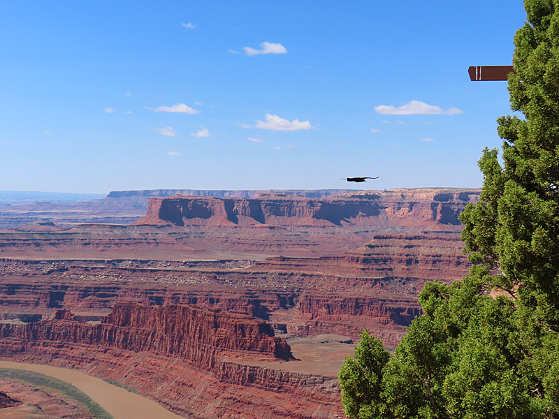
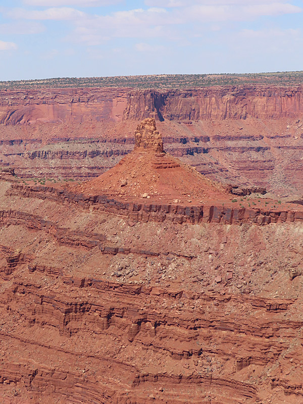
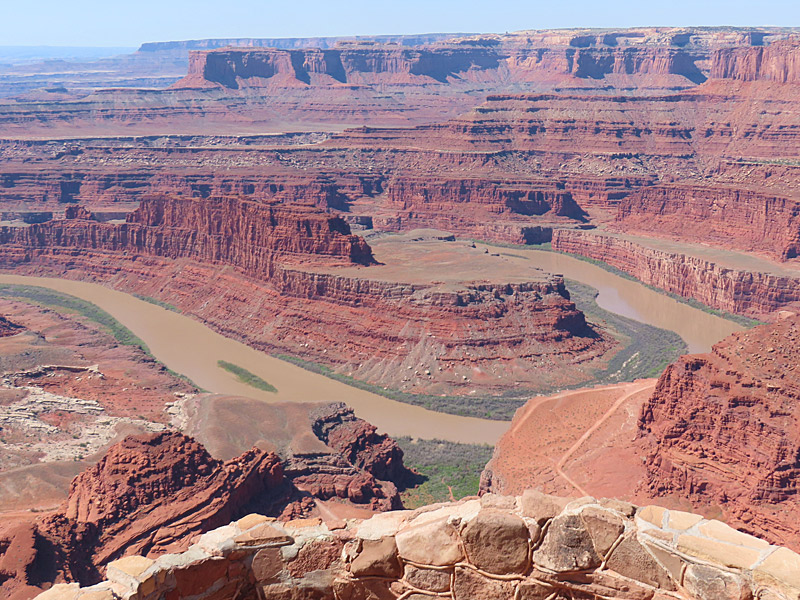
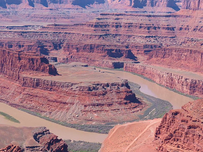
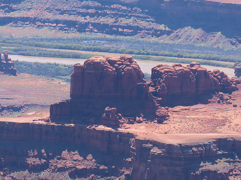
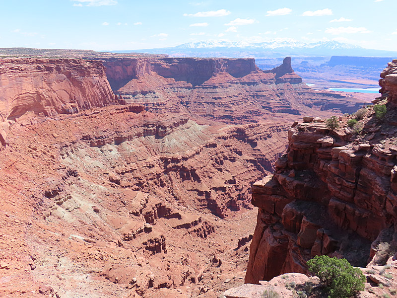
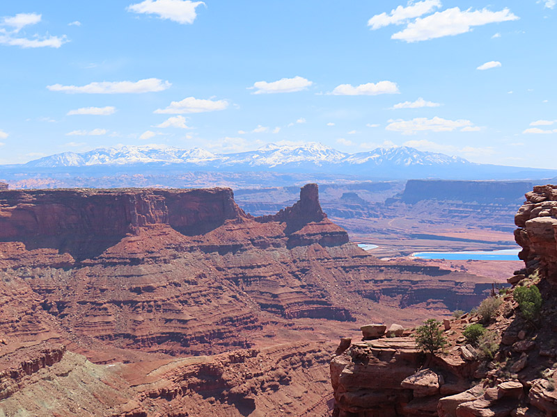
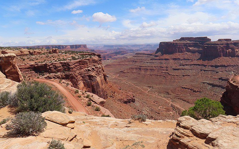
Dead Horse Point State Park near Moab, Utah, in April, 2023. – photo by Joe AlexanderDead Horse Point itself sits at 5,900 feet in elevation and looks down over a U-turn in the Colorado River about 2,000 feet below.
The park is west of Moab, Utah, and located is a short distance from the northern entrance to Canyonlands National Park.
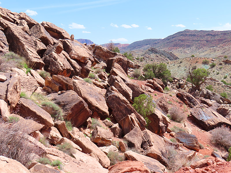
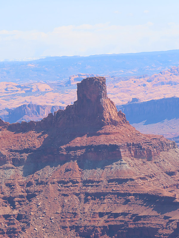
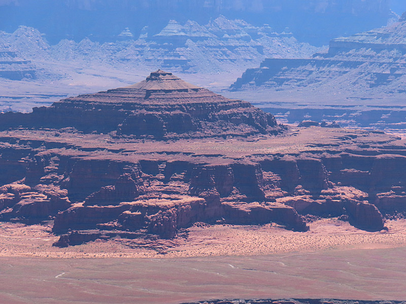
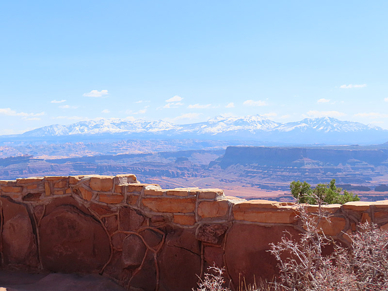
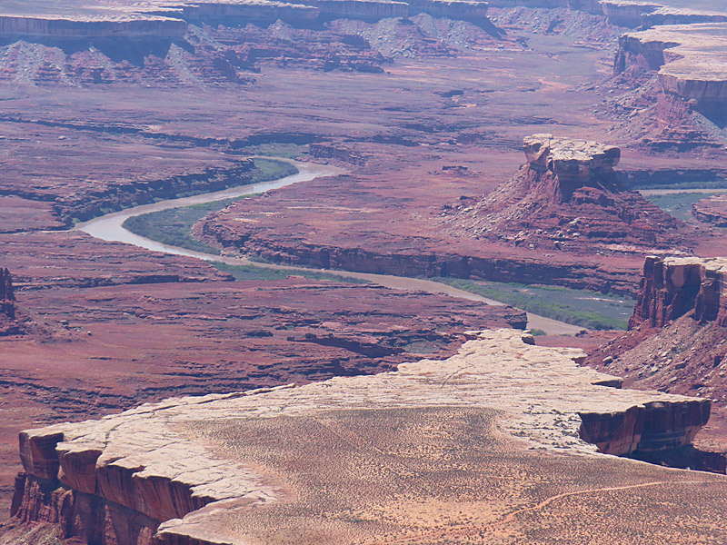
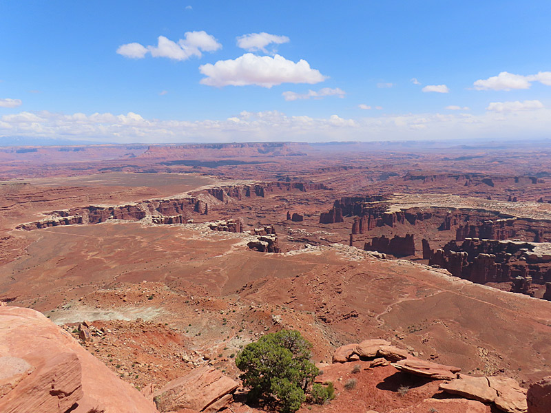
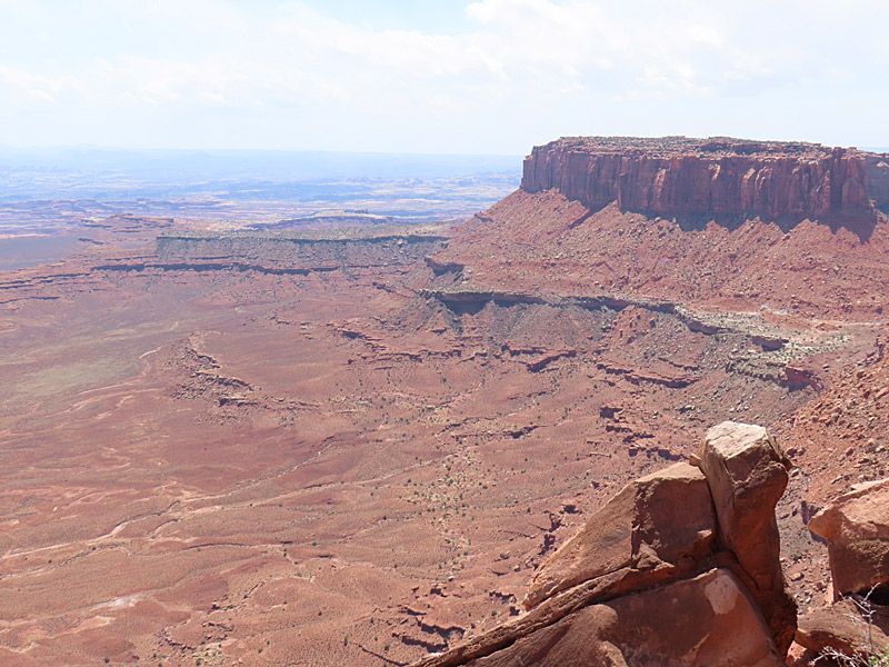
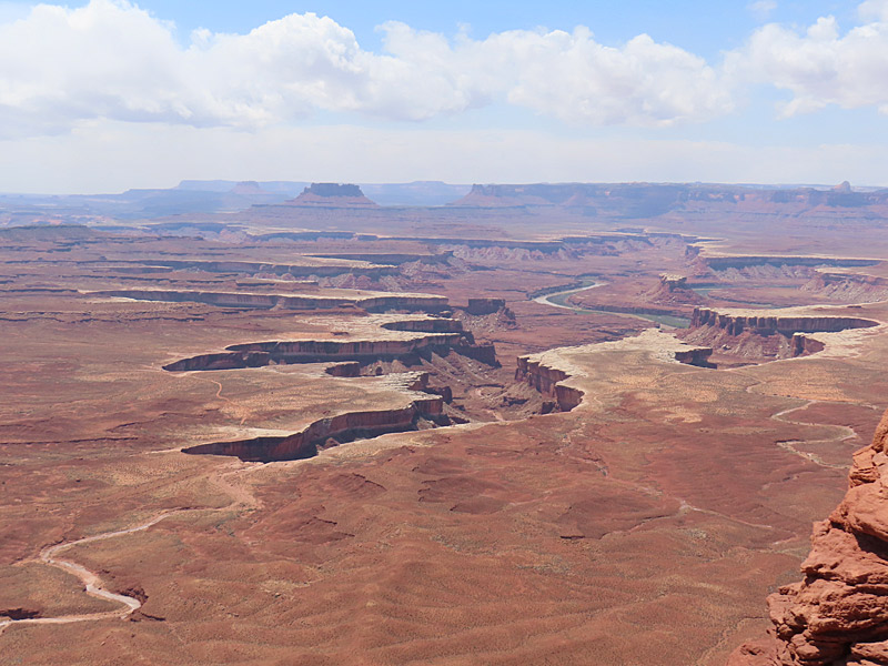
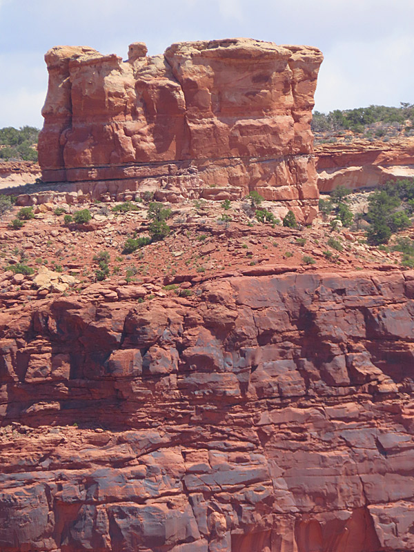
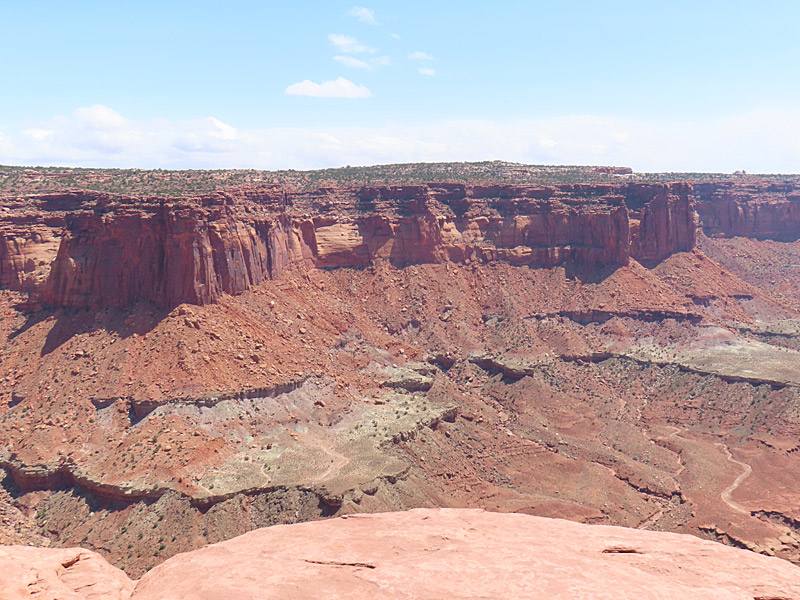
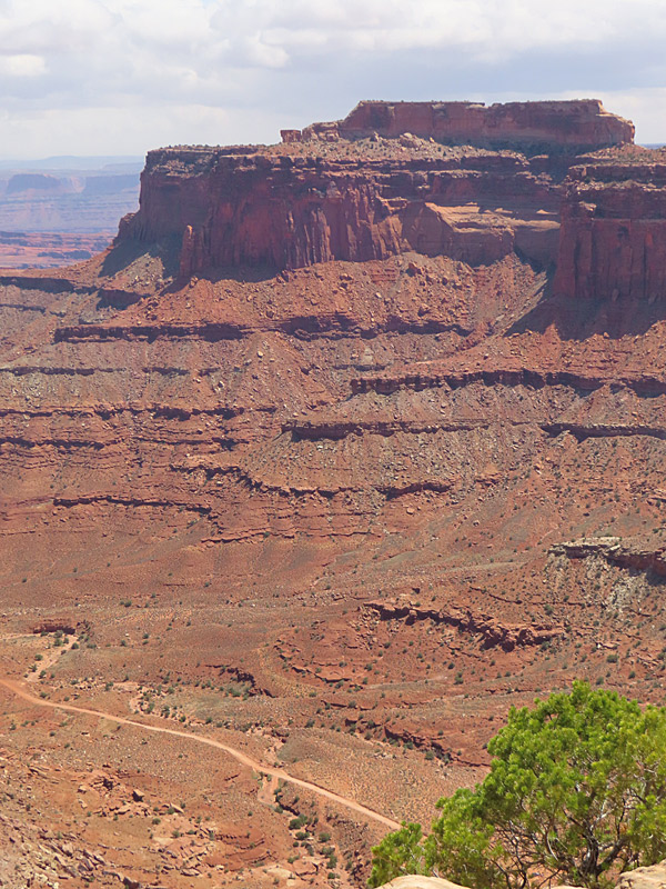
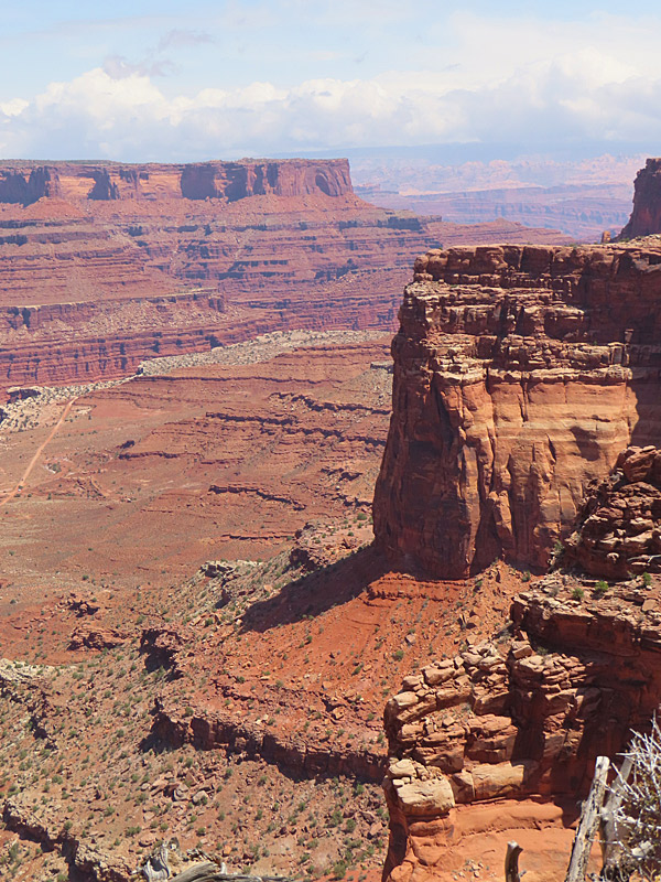
View from the Green River Overlook at Island in the Sky mesa in Canyonlands National Park. – photo by Joe AlexanderThe Canyonlands National Park road across the Island in the Sky mesa includes pullouts with great views at Green River Overlook and Grand View Overlook.
There are plenty of trails and camping is available at the park.
You reach the Canyonlands Island in the Sky visitor center by taking Highway 313 southwest from Highway 191, which is the north-south highway to and from Moab, Utah.