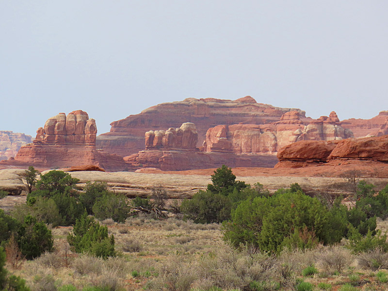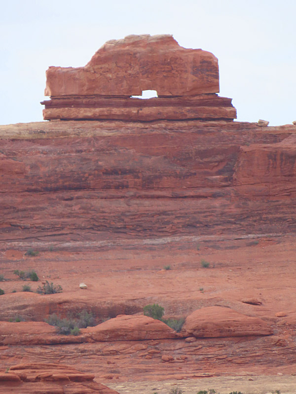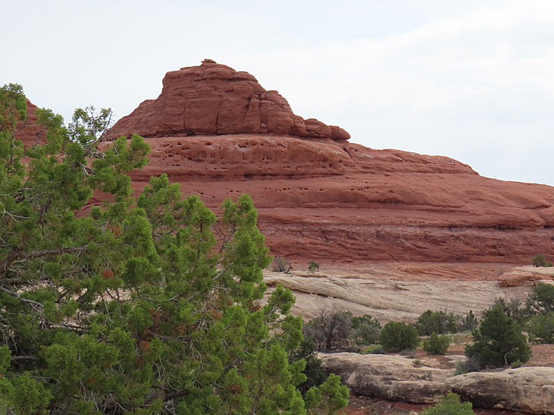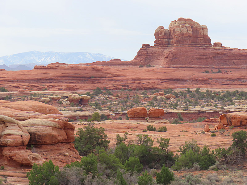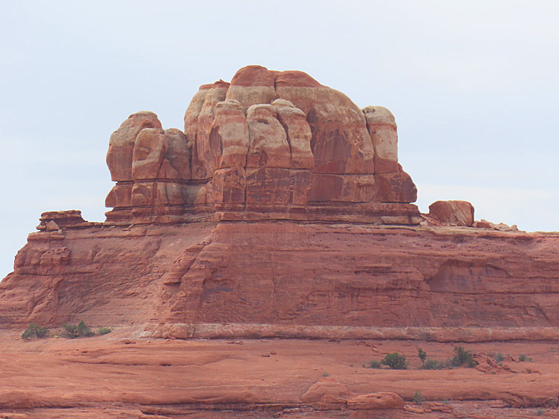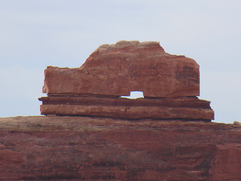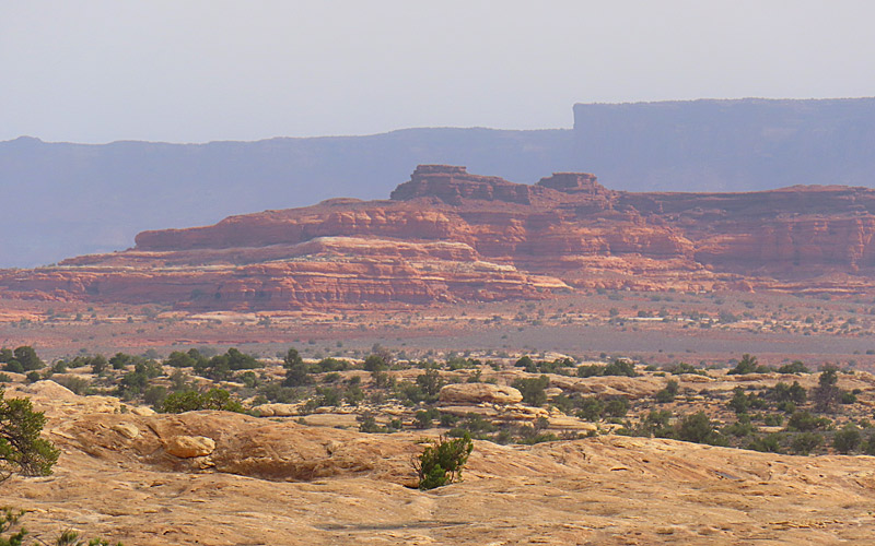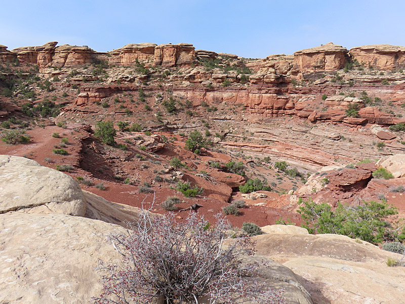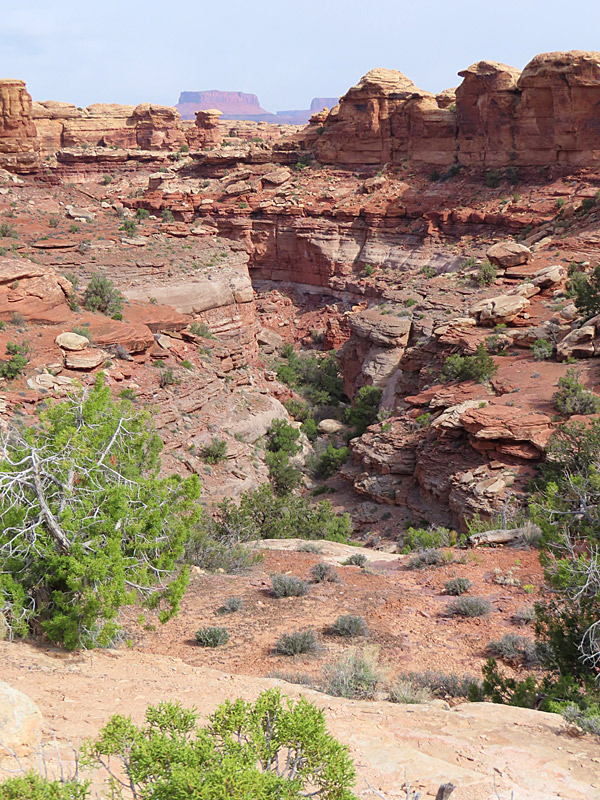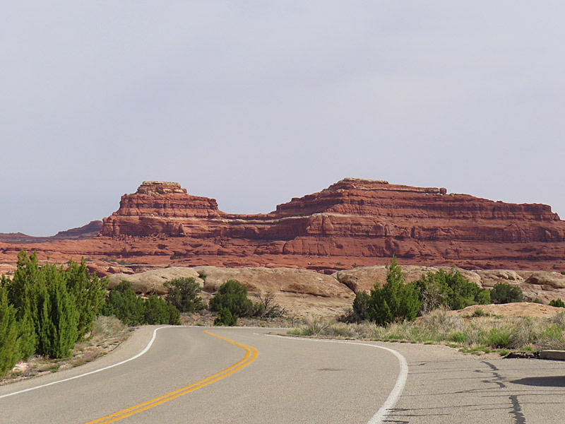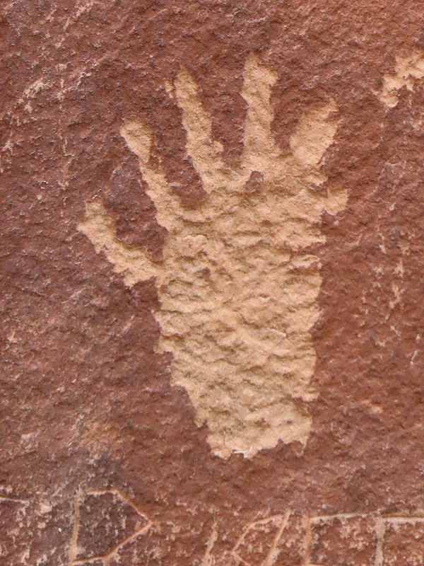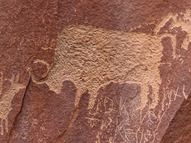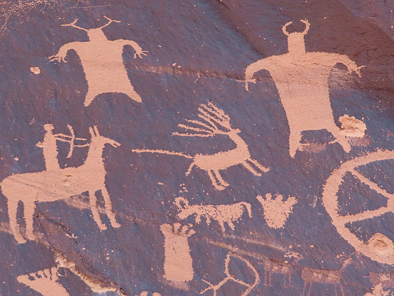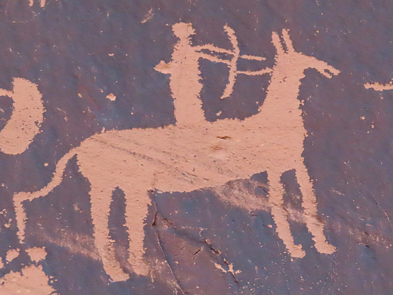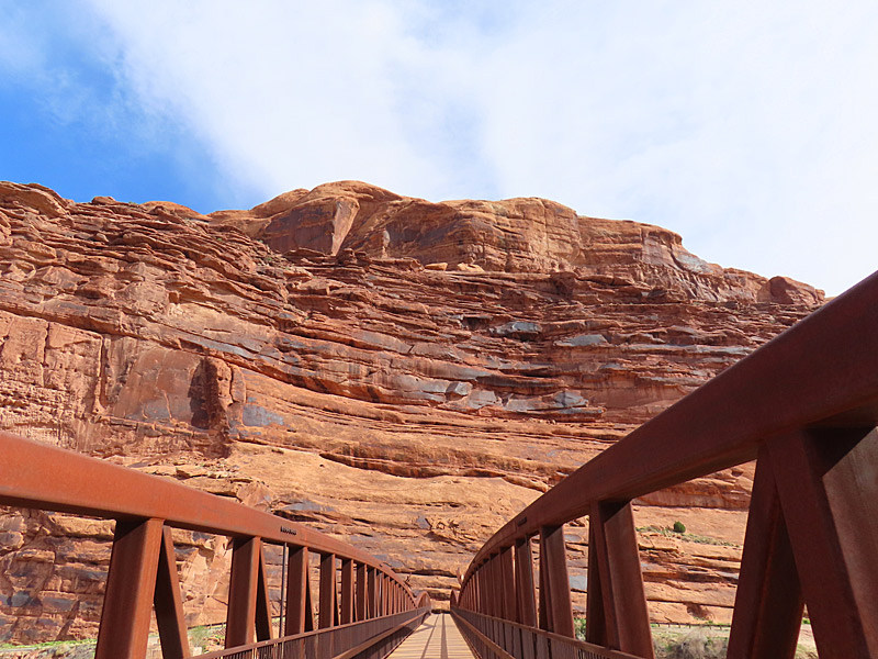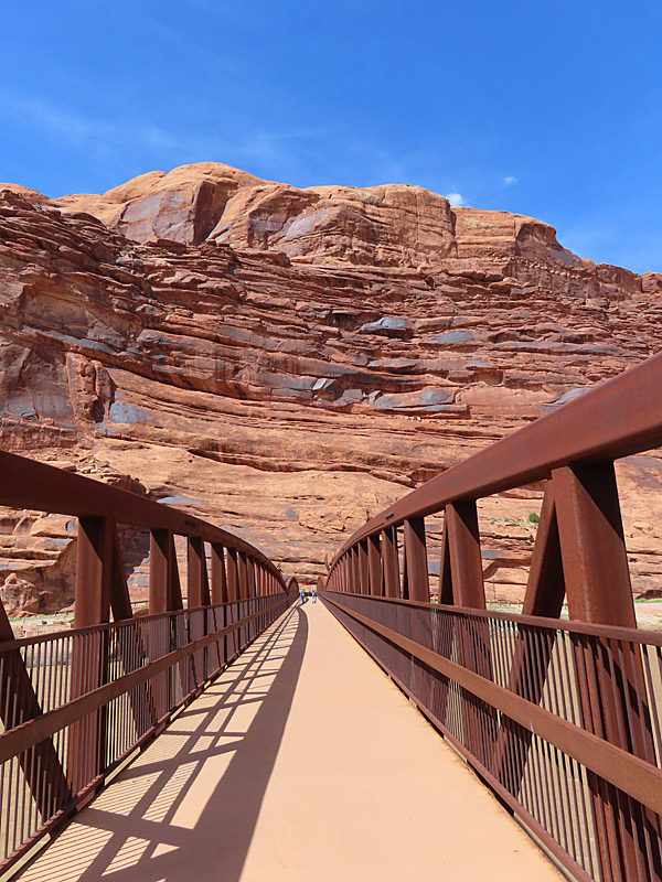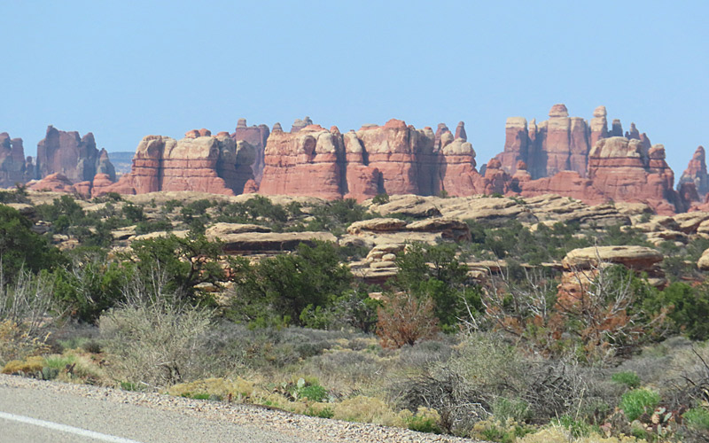
The southeast part of Canyonlands is about an hour and a half drive heading south from Moab, Utah. That entrance takes you to the park district called The Needles.
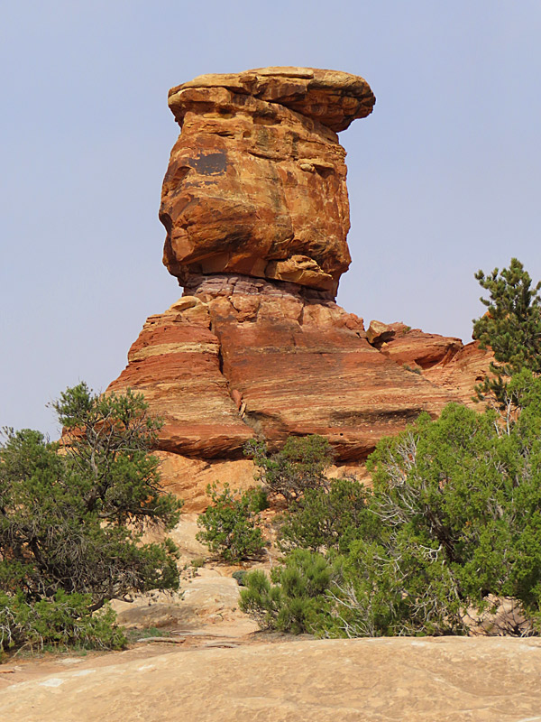
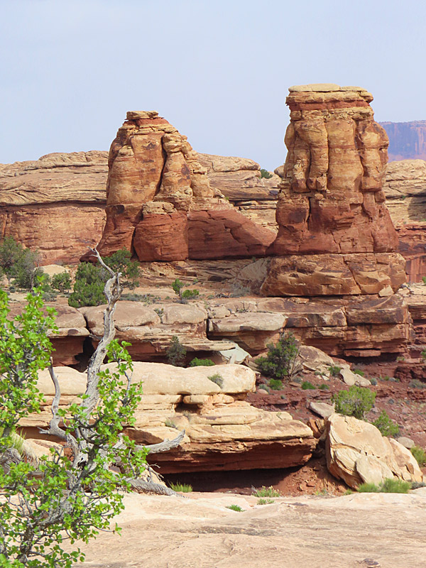
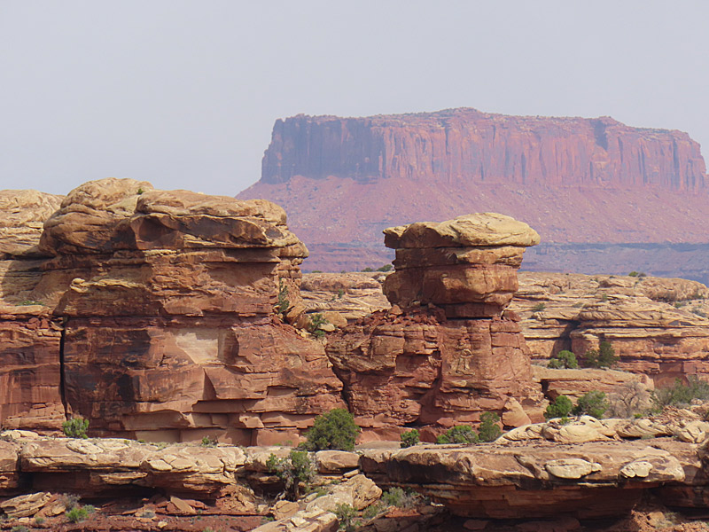
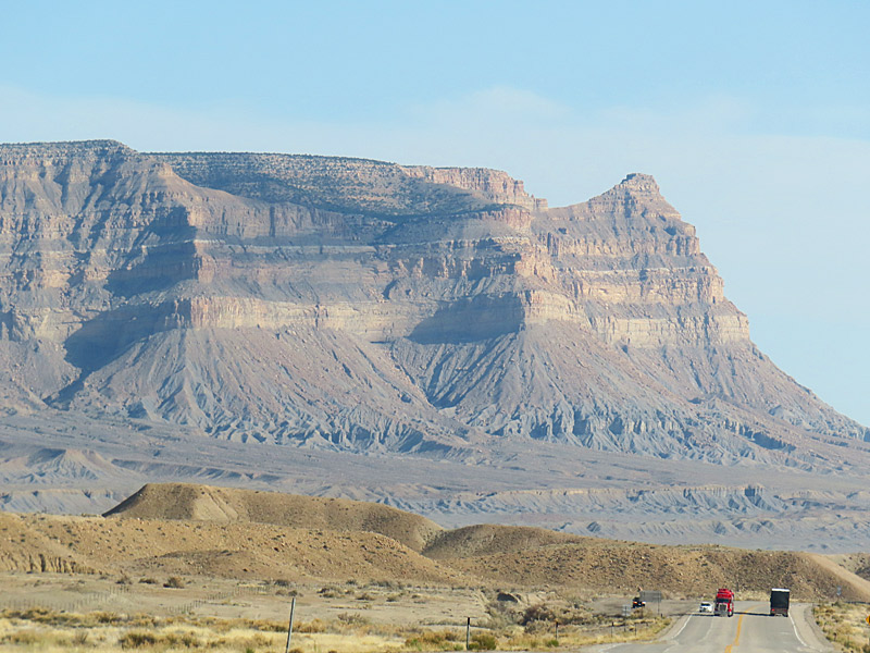
According to Earth Trekkers, the park gets its name from clusters of sandstone spires.
Official site: EarthTrekkers.com
Official site: National Park Service – The Needles
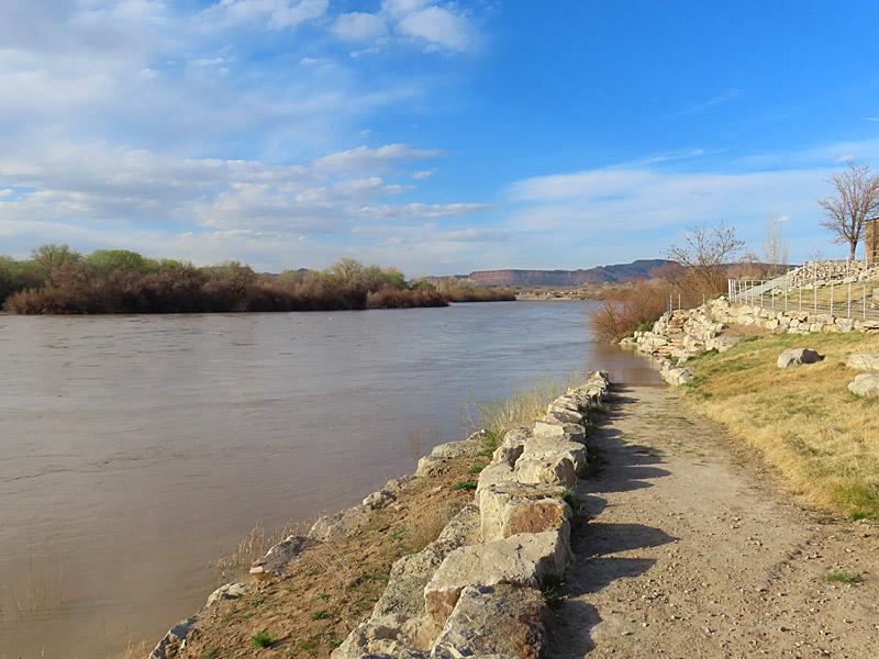
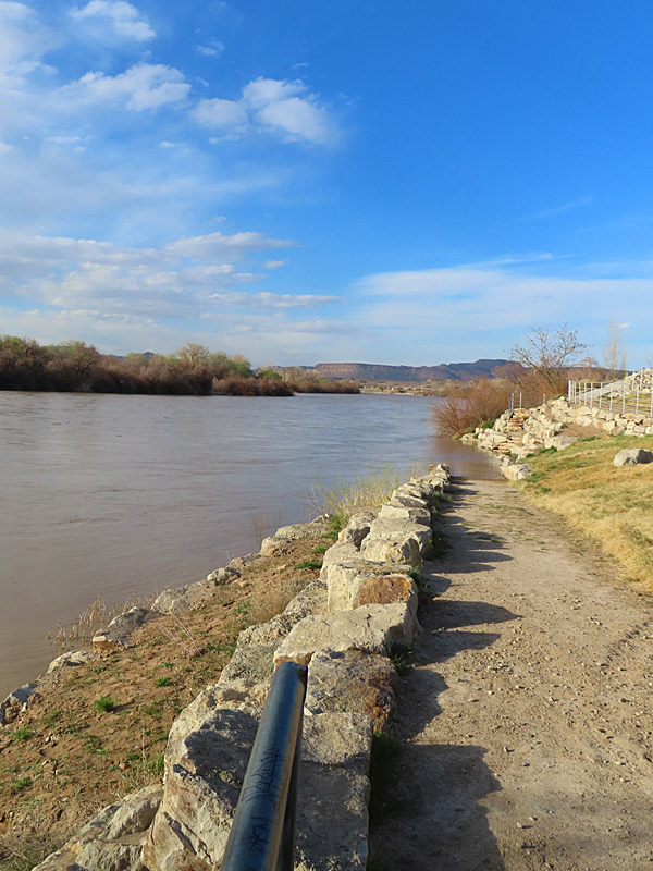
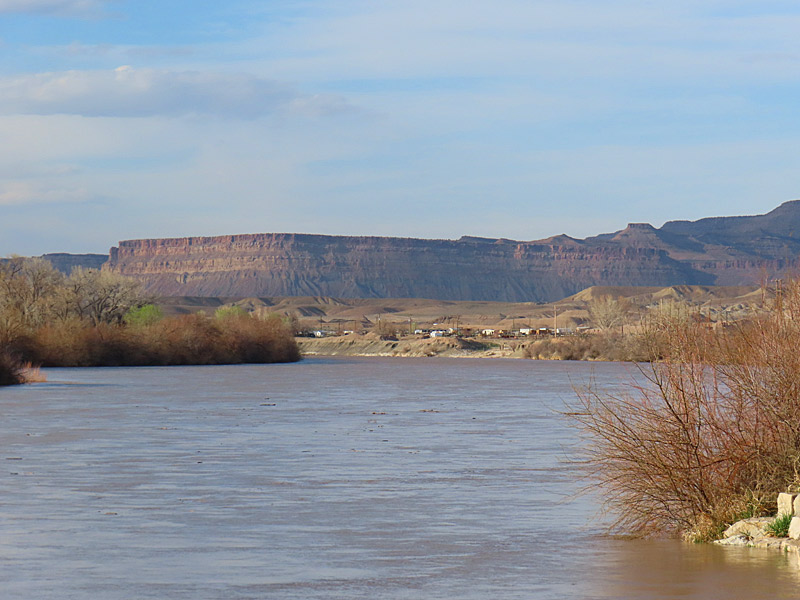
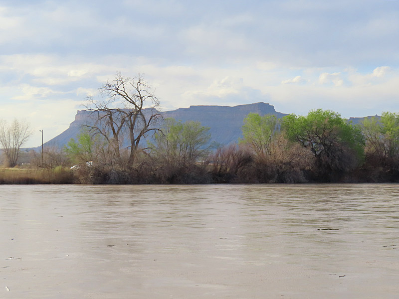
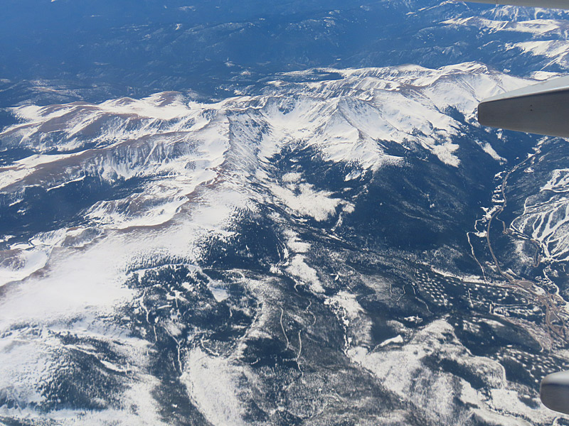
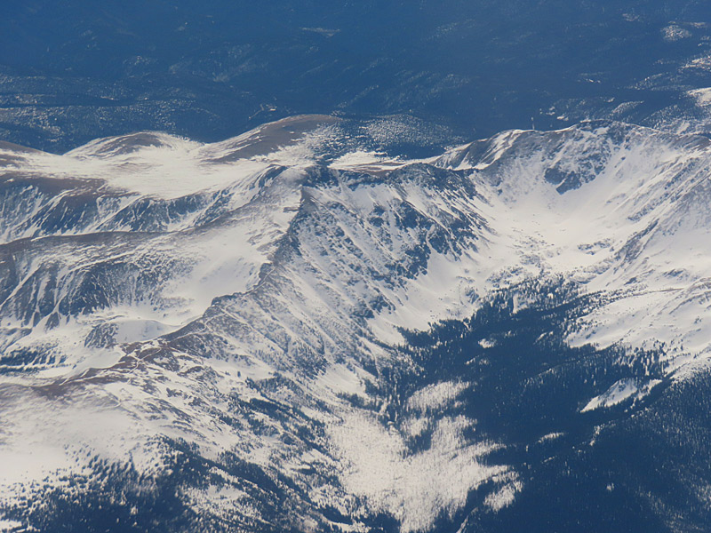
The morning I got here, the sky ranged from cloudy when I first showed up to mostly sunny but still hazy. I never got any really blue-blue skies, and then it clouded up again. My best shots were in that stretch of about an hour when I got at least some sun and sort of blueish skies.
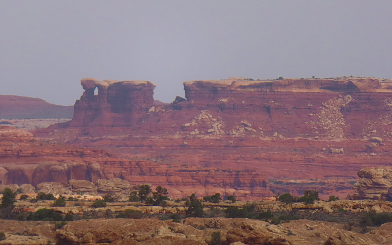
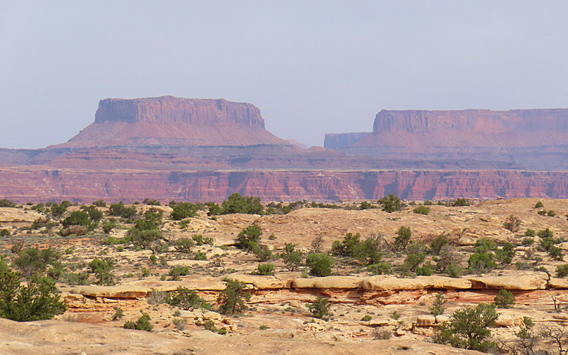
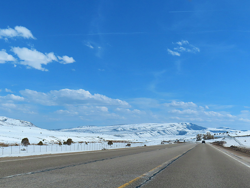
I apparently headed out just in time. Heading north I drove through a momentary now flurry and then some wind and rain. That cleared up in time for me to make an afternoon visit to the north side of the park.