


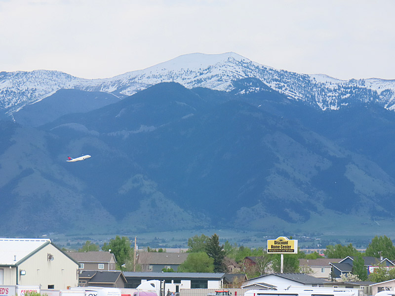
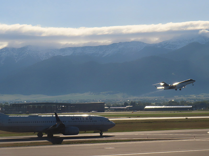
The afternoon before I headed home, I was killing time at the hotel as I saw a plane that had just taken off was ascending to the east with the mountains in the background.
About 24 hours later, I would be making a similar departure.
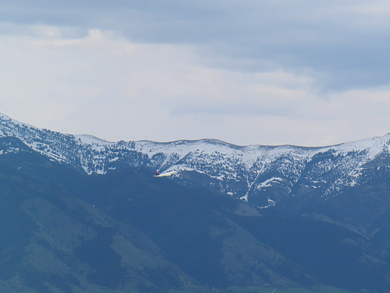
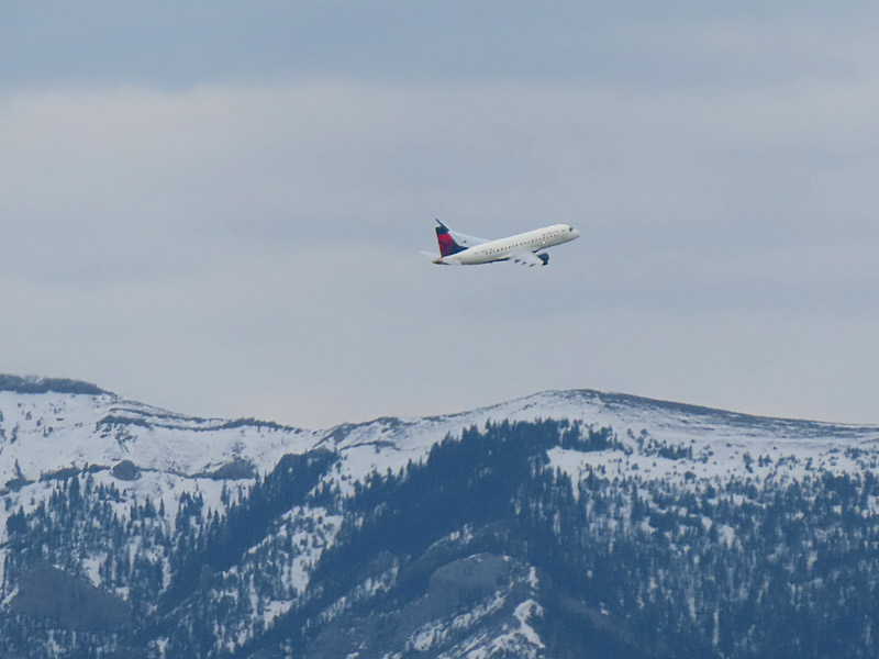
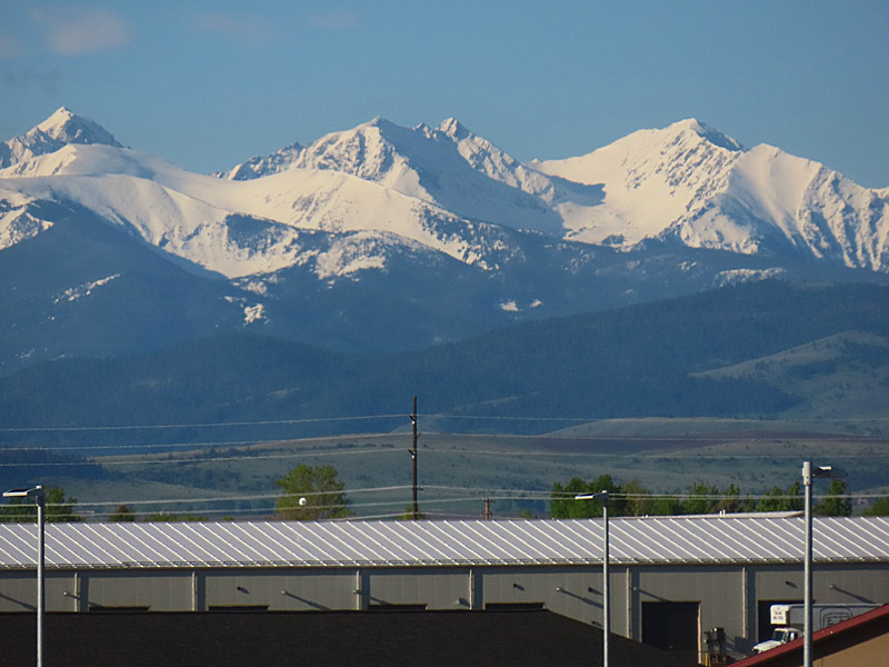
The day I headed home, I ended up spending a few extra hours at the airport due to airline issues. (That’s a whole other story). So naturally I took a few more photos. Fortunately, the concourse has lot of really big windows.
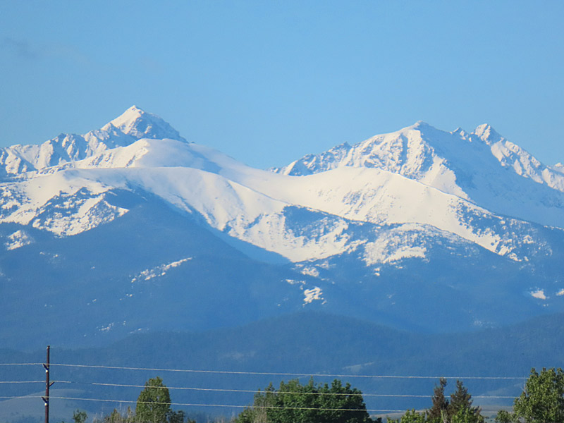
You can see the Bridger Range as you look to the north. Those are the mountains in the background as the planes take off. To the south and southeast is the Gallatin Range. Both the mountains to the north and south of Bozeman are part of a cluster of six mountain ranges that make up the Gallatin National Forest
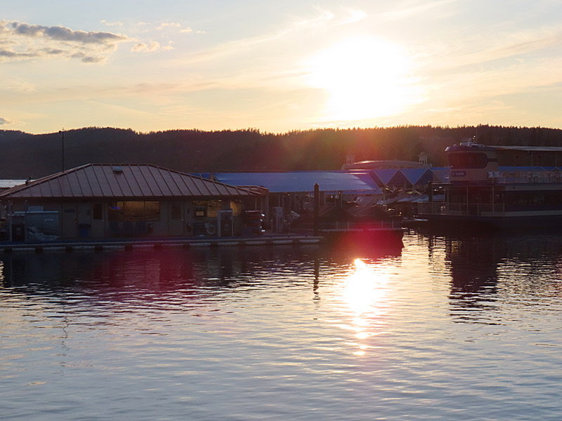
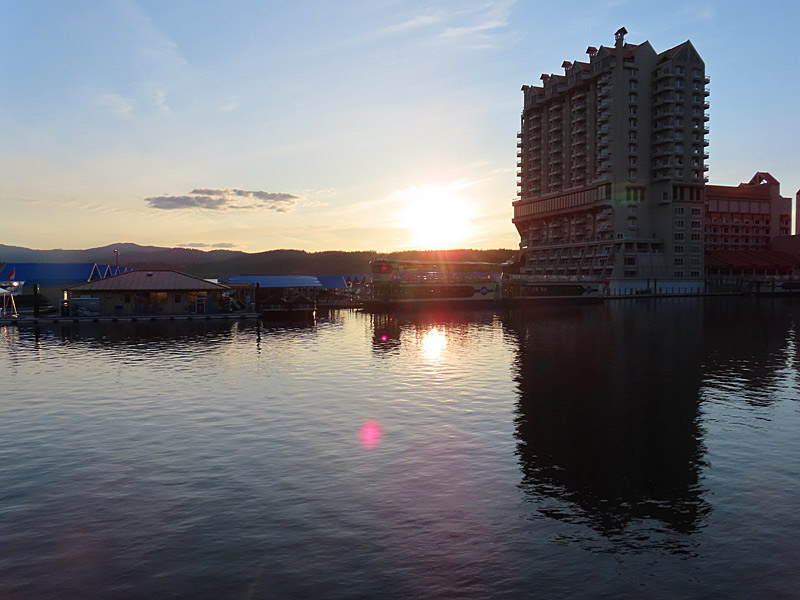
I didn’t have a perfect angle to photograph the sunset on the water, but it was a pretty place that was an easy walk from the downtown shops and restaurants.
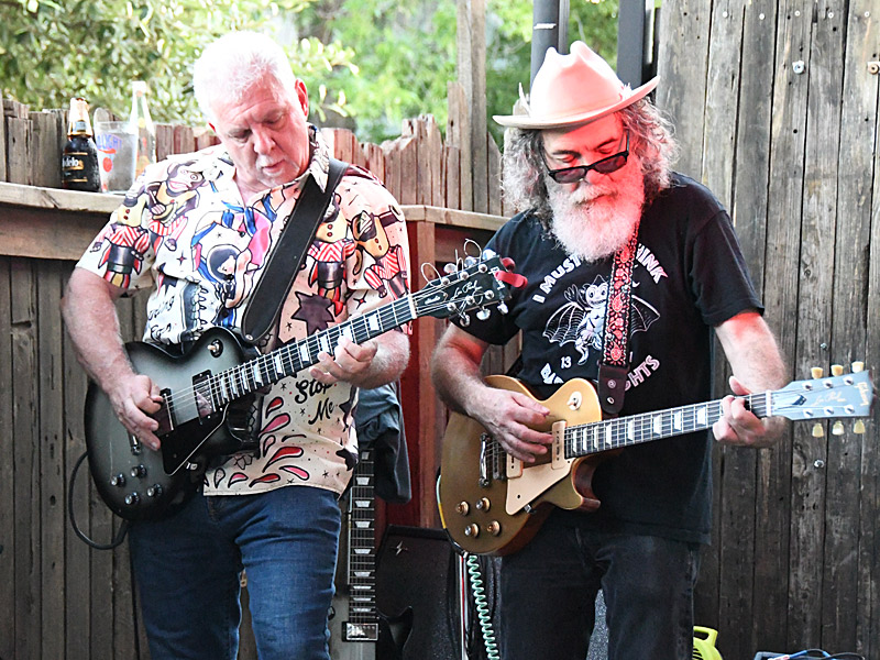
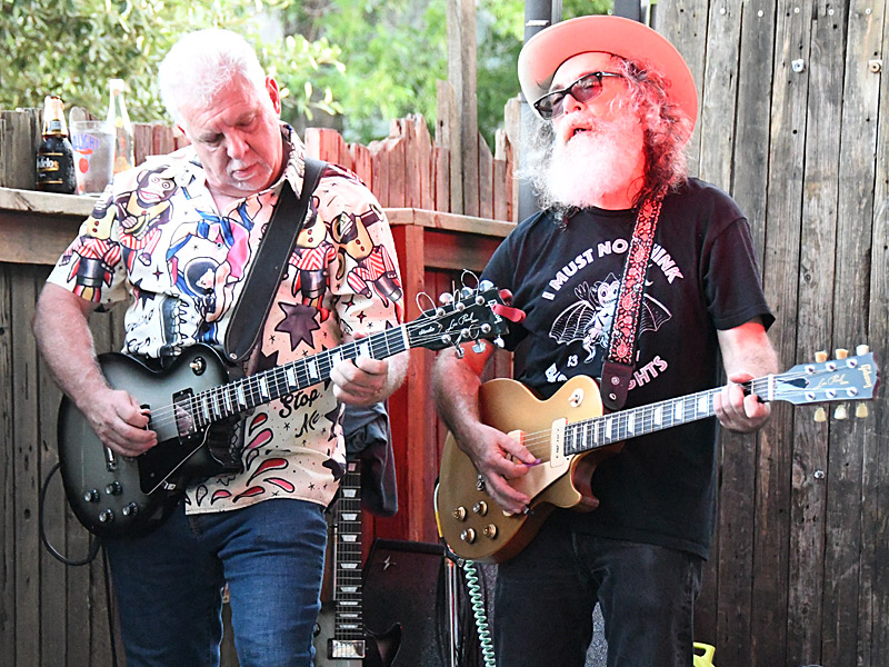
I was here is the third week of May, but I have a feeling this could be a pretty happening area in the summer.
As a sidenote, I don’t think I have ever seen as many T-shirts and other swag with Bigfoot on them as I did in the shops in Coeur D’Alene. He seems to be very popular (or at least profitable) here.
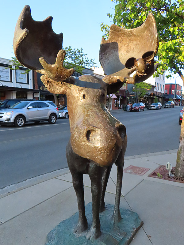
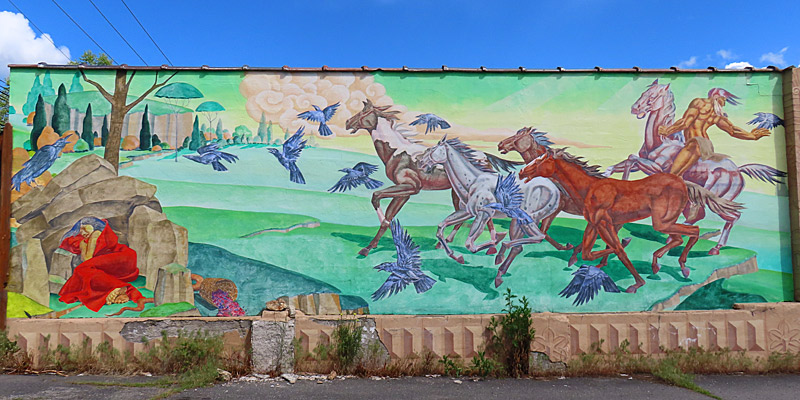
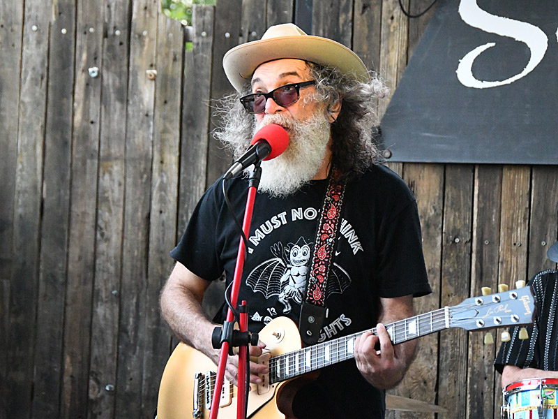
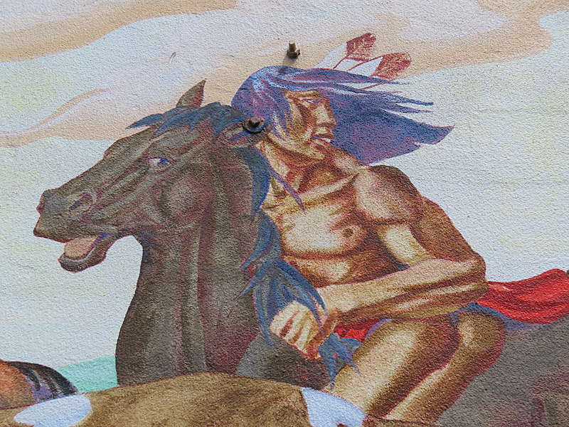
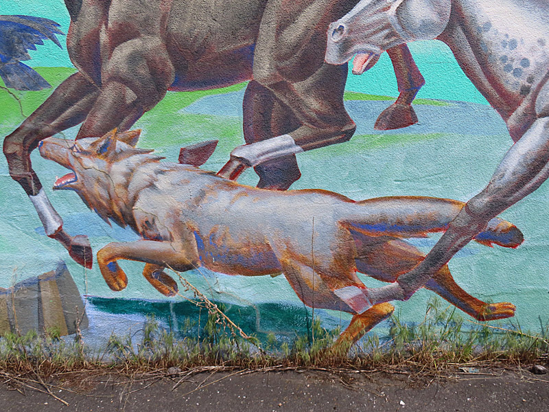
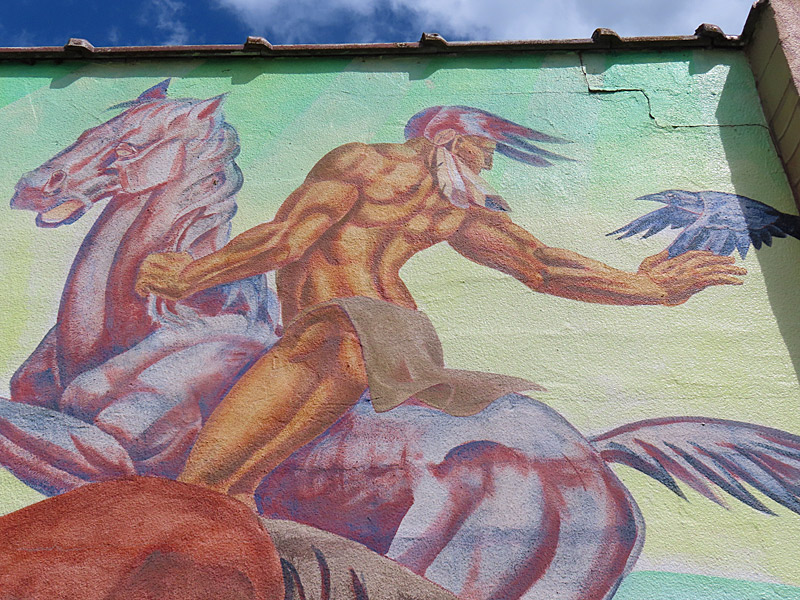
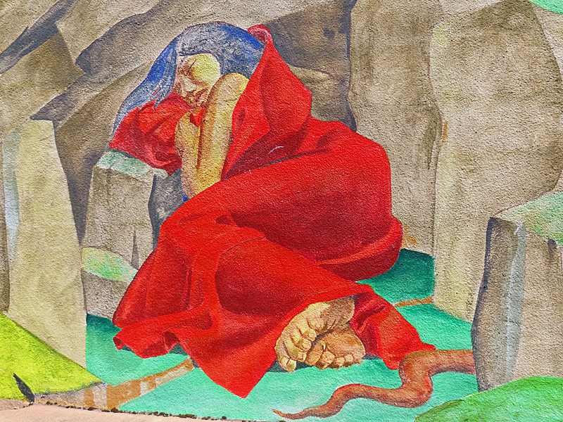
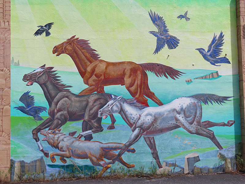
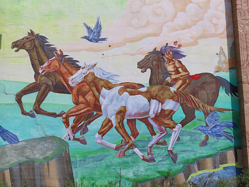
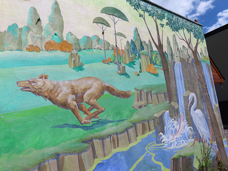
I found this large mural overlooking a parking lot near the corner of 2nd Street and Coeur D’Alene Ave.
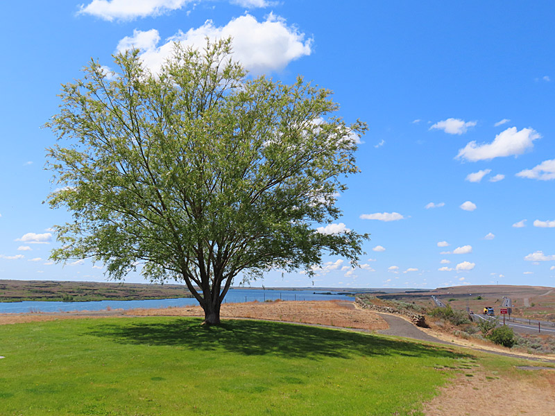
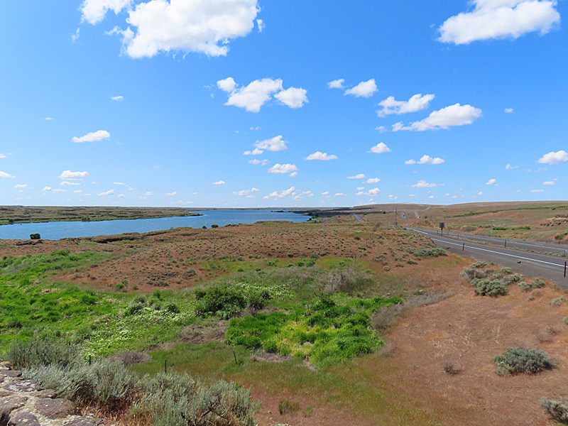
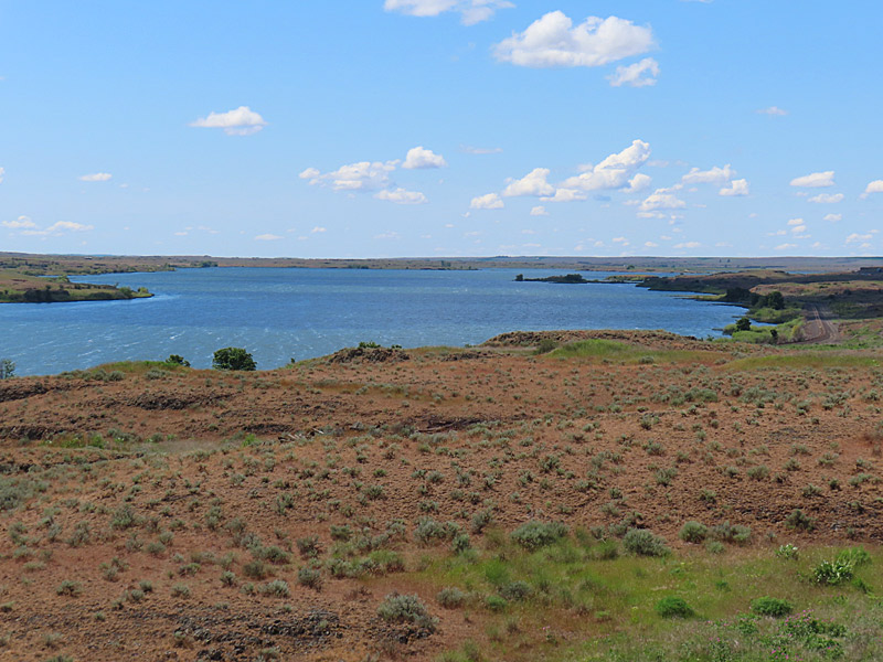
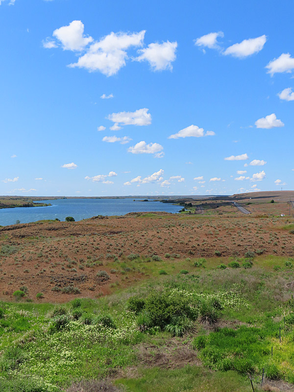
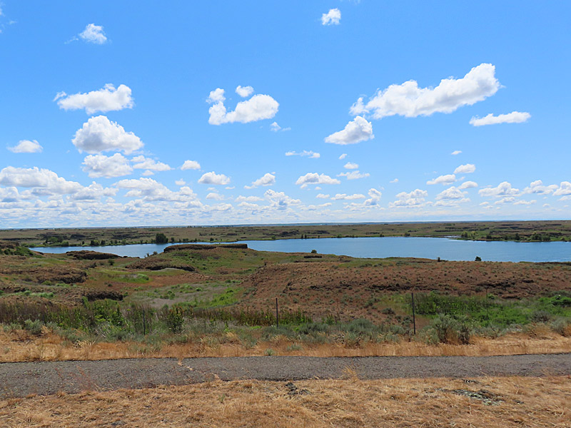
According to the Washington Department of Fish and Wildlife, this is a good place to fish for rainbow trout, largemouth bass, bluegill, brown bullhead and channel catfish.
This part of the Washington state wasn’t as scenic as the western half of the state – but there wasn’t a lot of traffic and it was a pleasant drive.
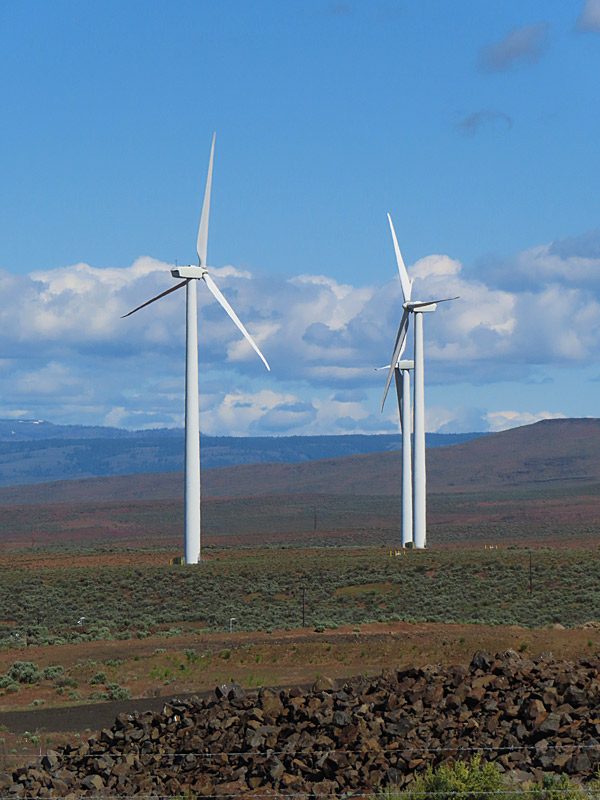
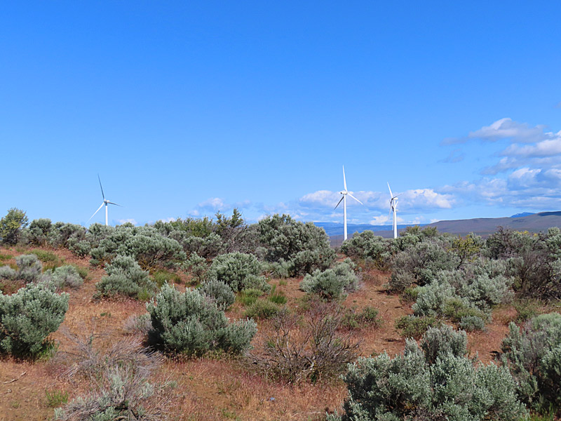
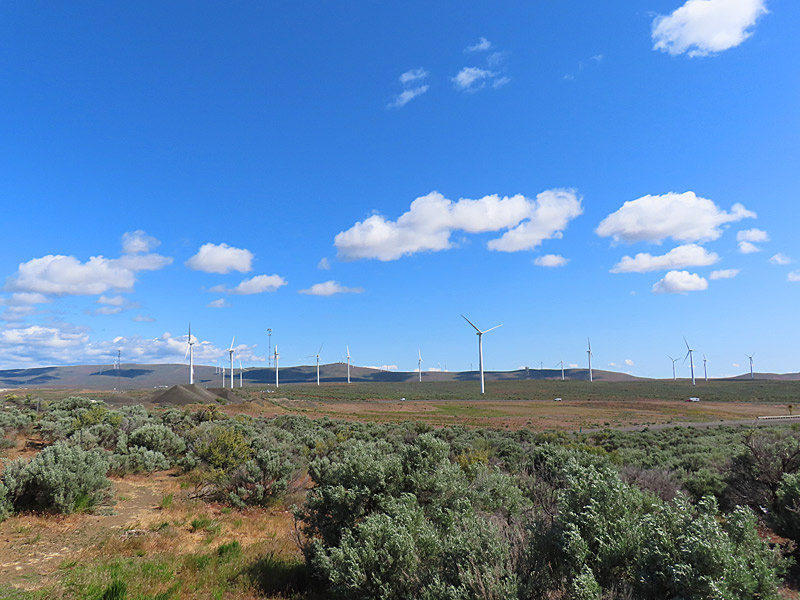
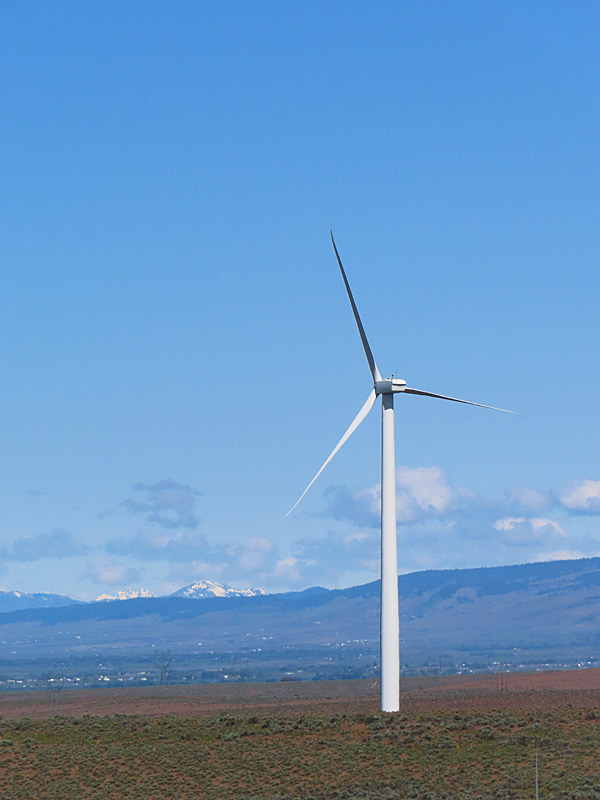
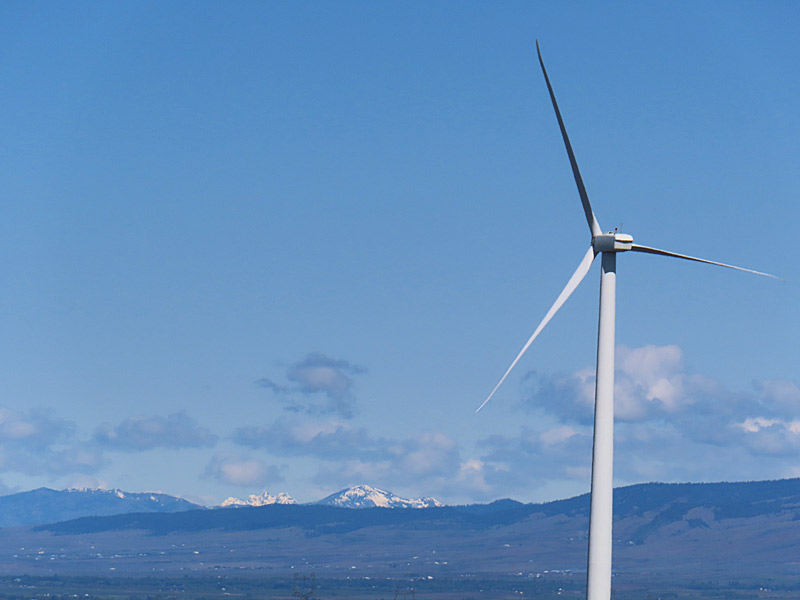
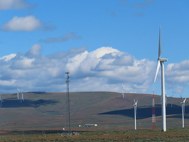
The giant wind turbines that generate electricity in parts of this country don’t have the same kind of character as the windmills I sometimes still see that pump water in rural Texas.
But the contrast between the nearly all white wind turbines set against the terrain and sky can be dramatic.
These were near Interstate 90 and I know I was east of Ellensburg, Washington. Looking at Google Maps, it looks like the PUD Wind Farm and Wild Horse Wind and Solar Facility are in this area.
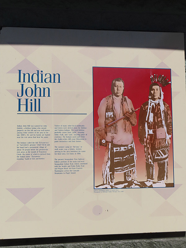
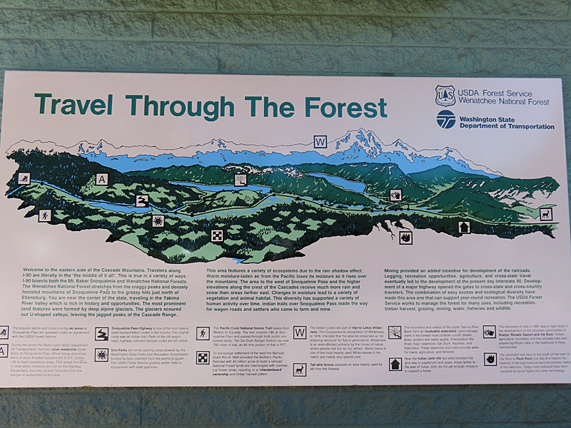
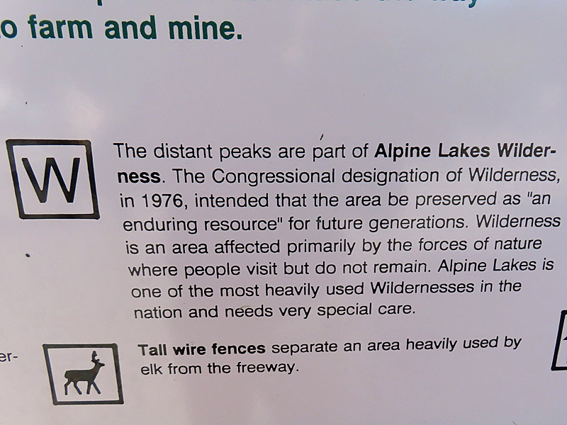
The Indian John Hill Rest Area about 200 miles east of Seattle a place to stop and take pictures, as well as stretch your legs and get a cup of coffee.
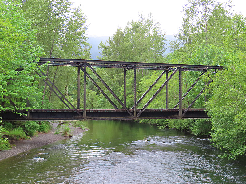
The South Fork joins the main Snowqualmie River just north of North Bend.
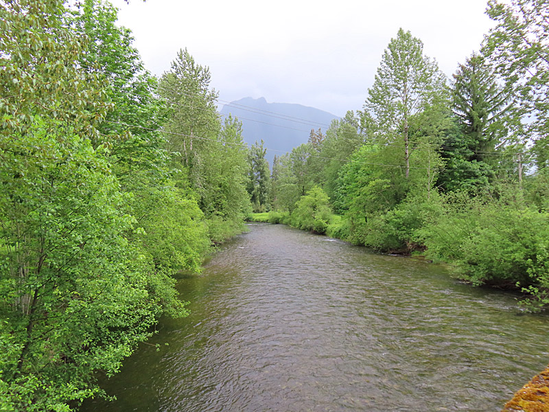
The Snoqualmie River is 45 miles long and runs roughly southeast to northwest in western Washington State and passes not from North Bend and Interstate 90.
The “Welcome to Twin Peaks” sign from the TV show was on the north side of the main river by the Three Forks Natural Area a mile or two north of North Bend and right across from where the South Fork flows into the Snoqualmie.
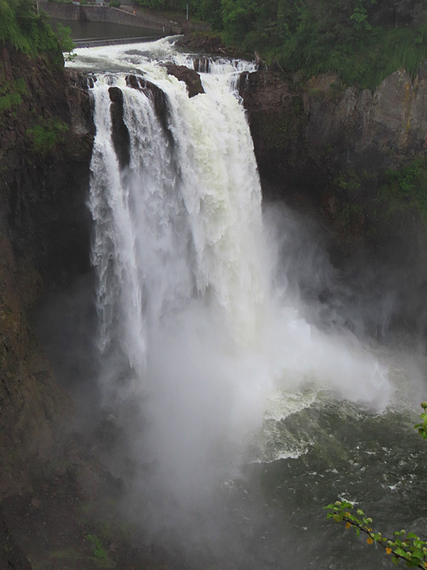
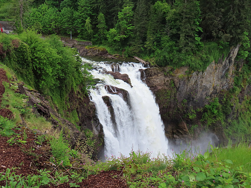
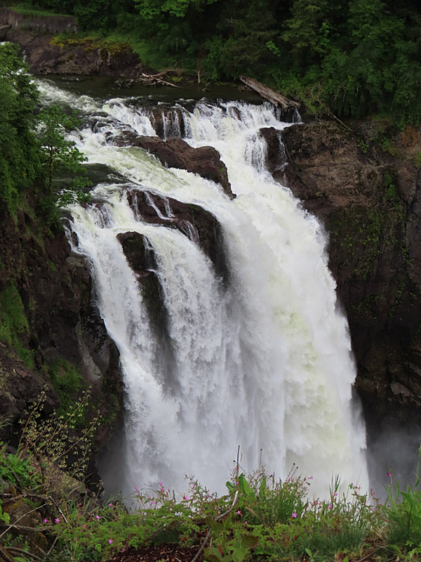
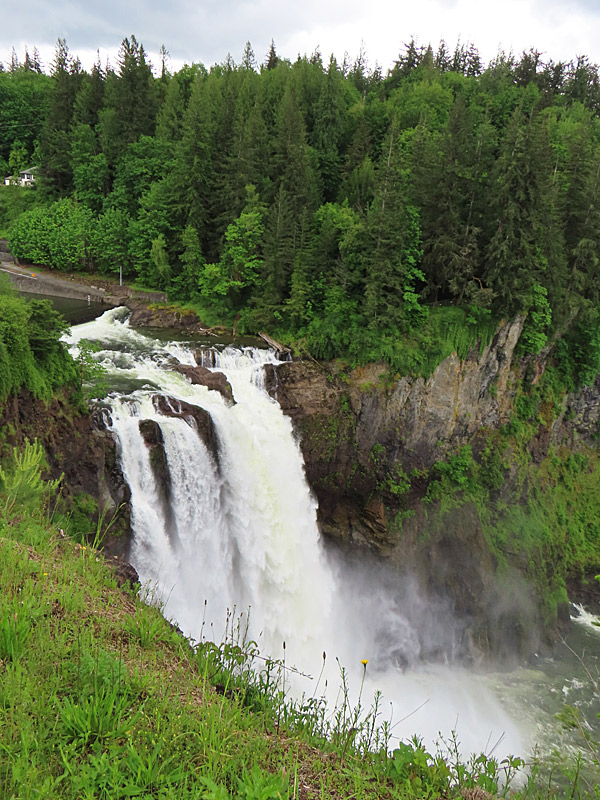
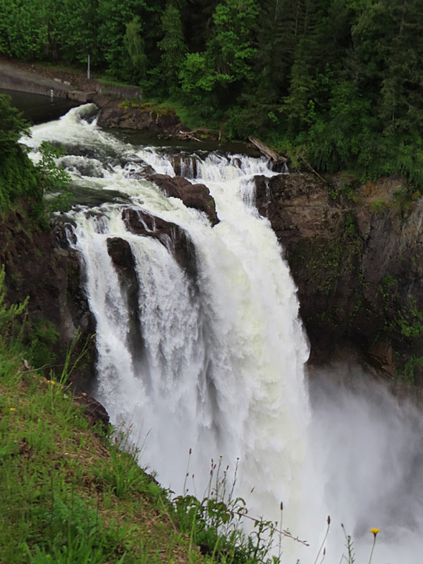
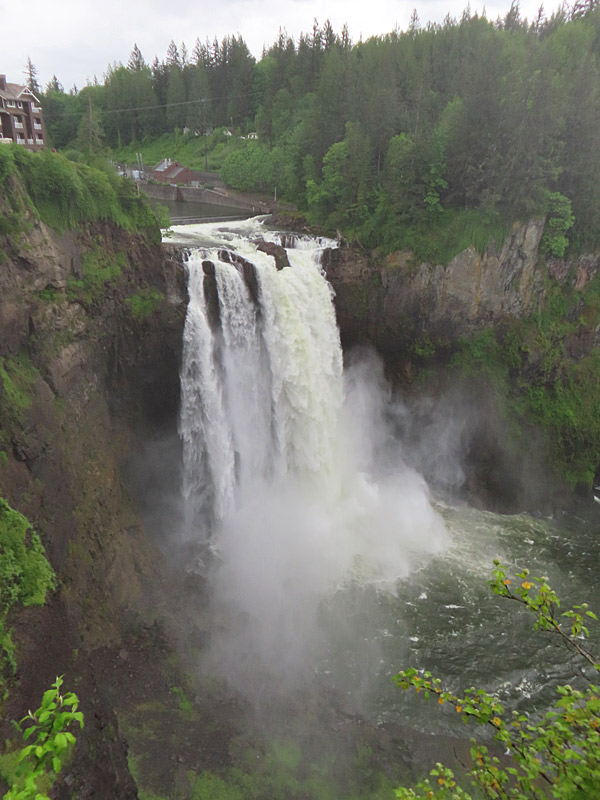
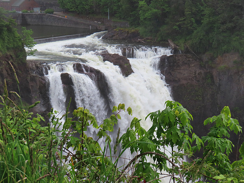
To get to the 270-foot waterfall, there is a walkway from the parking lot to a great viewing area.
Snoqualmie Falls in on the Snoqualmie River and is just off Interstate 90 a little more than a half hour drive east from Seattle.
Once you leave the interstate, its just a quick drive north on the Snoqualmie Parkway.
You can also reach Snowqualmie Falls by driving northwest from North Bend, Washington, on Snowqualimie-North Bend Road.
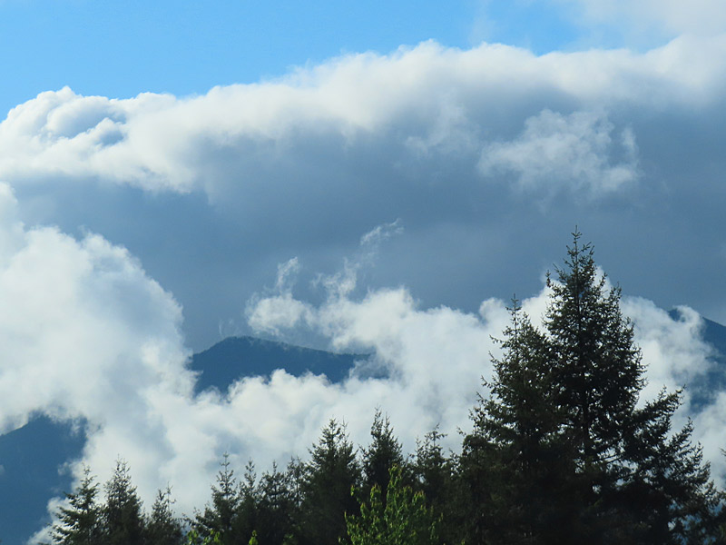
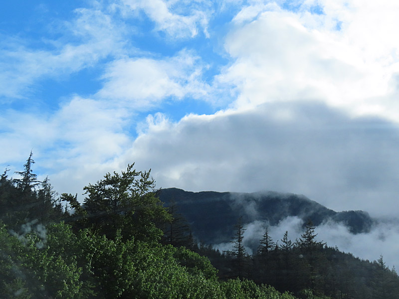
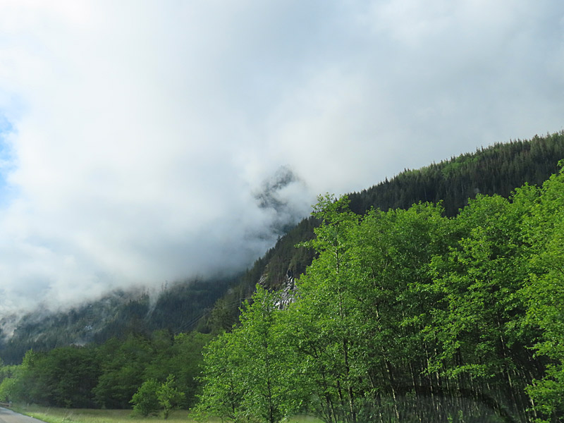
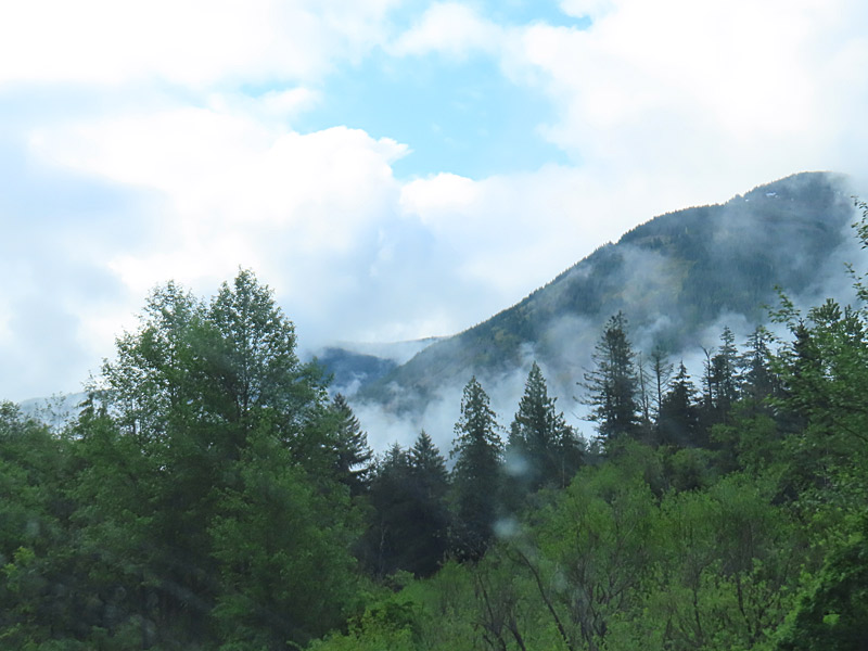
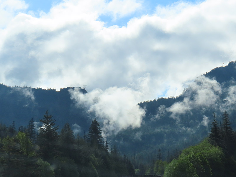
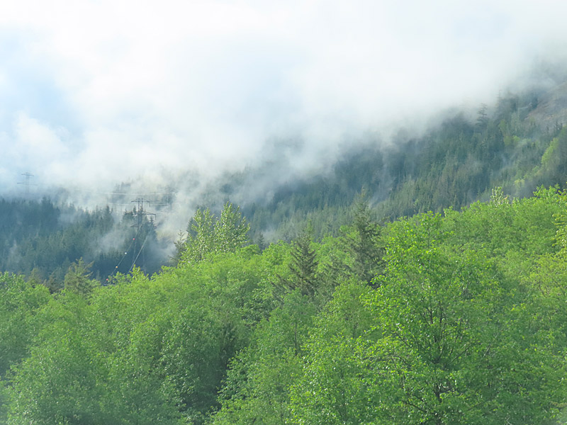
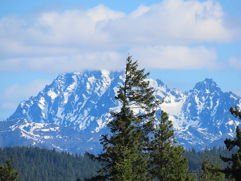
The combination of evergreen trees up close, mountains farther in the distance and clouds can give you some interesting colors and moods.
If you’re lucky enough to get some blue sky mixed in, so much the better.