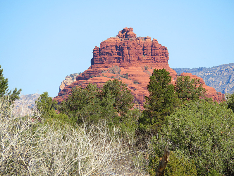
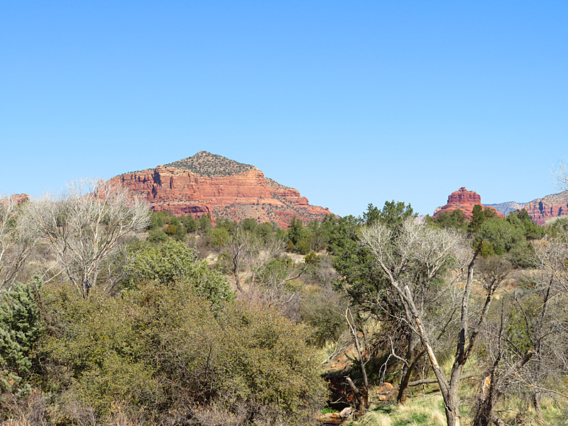
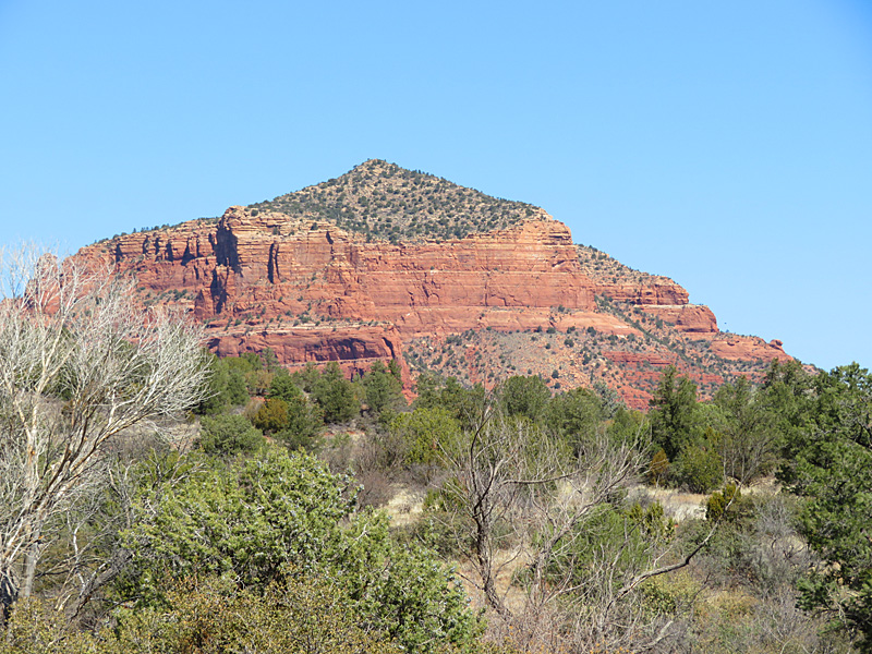
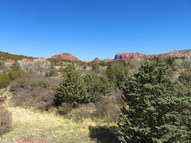
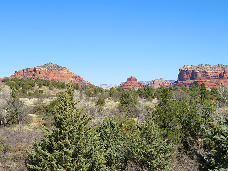
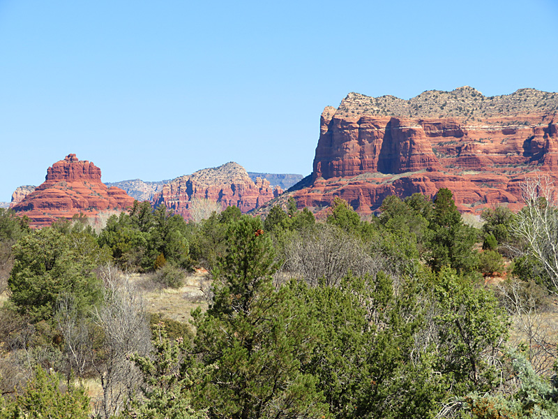
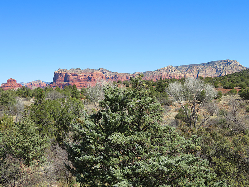
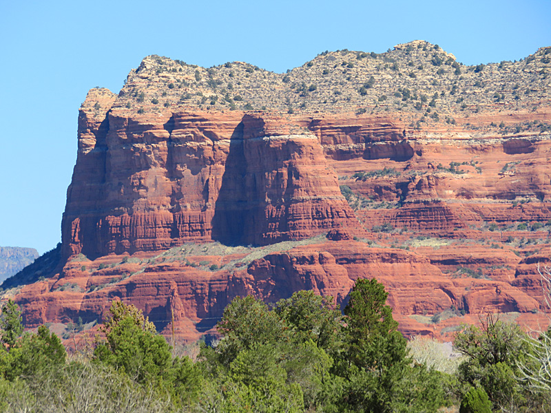
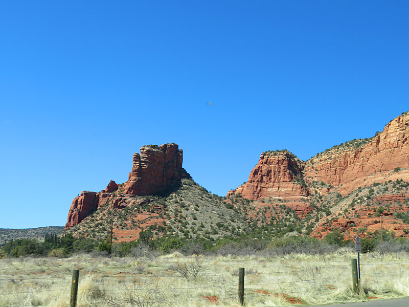
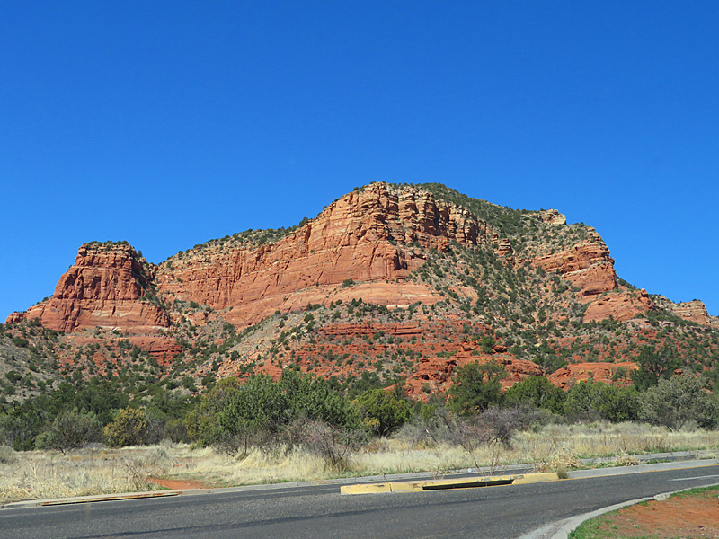
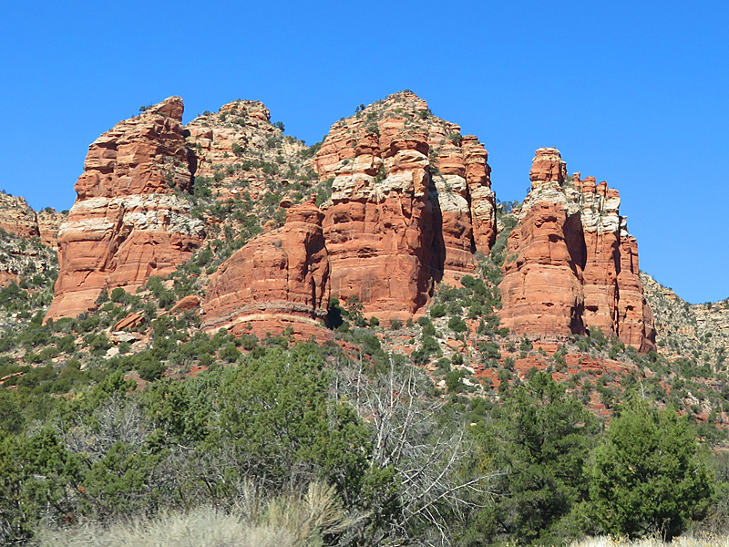
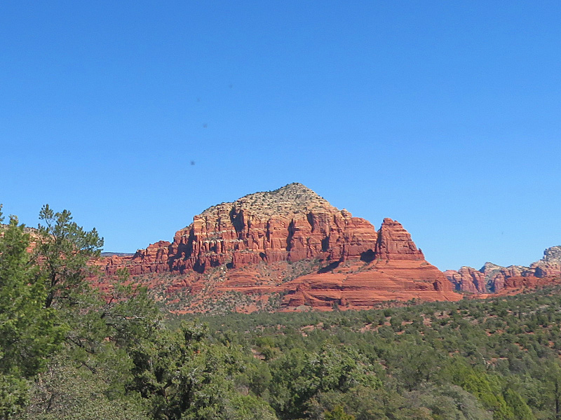
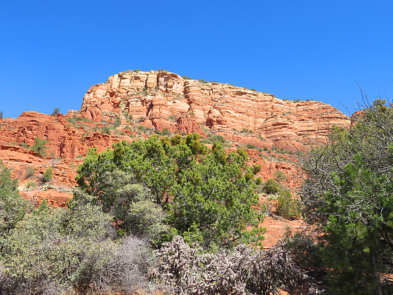
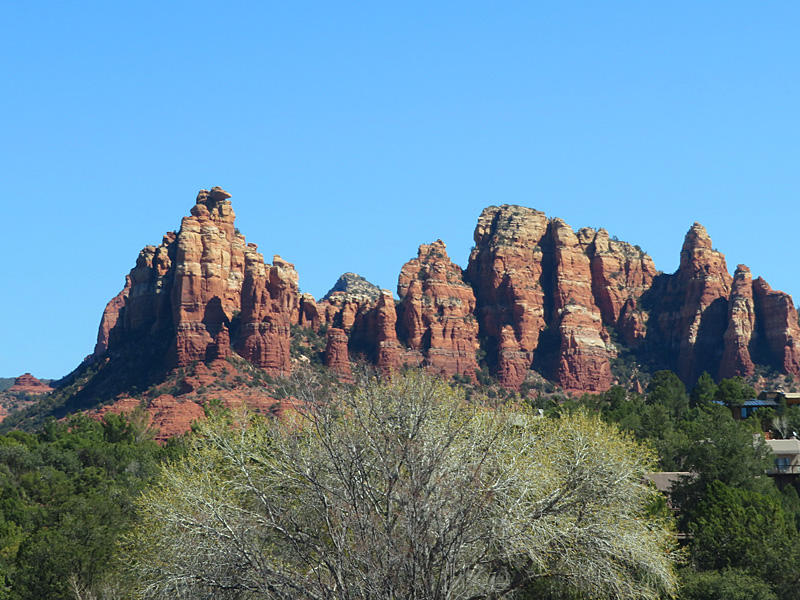
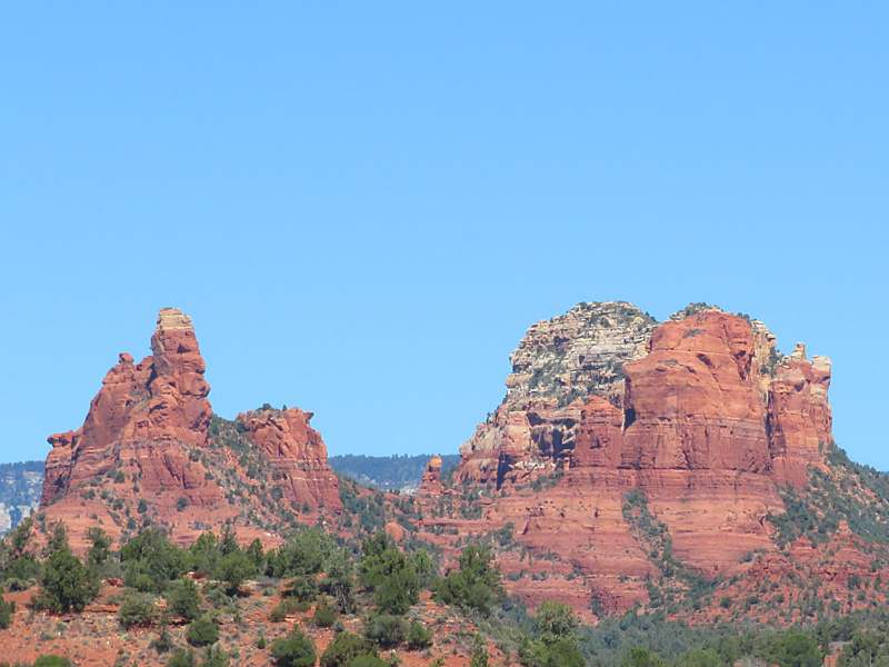
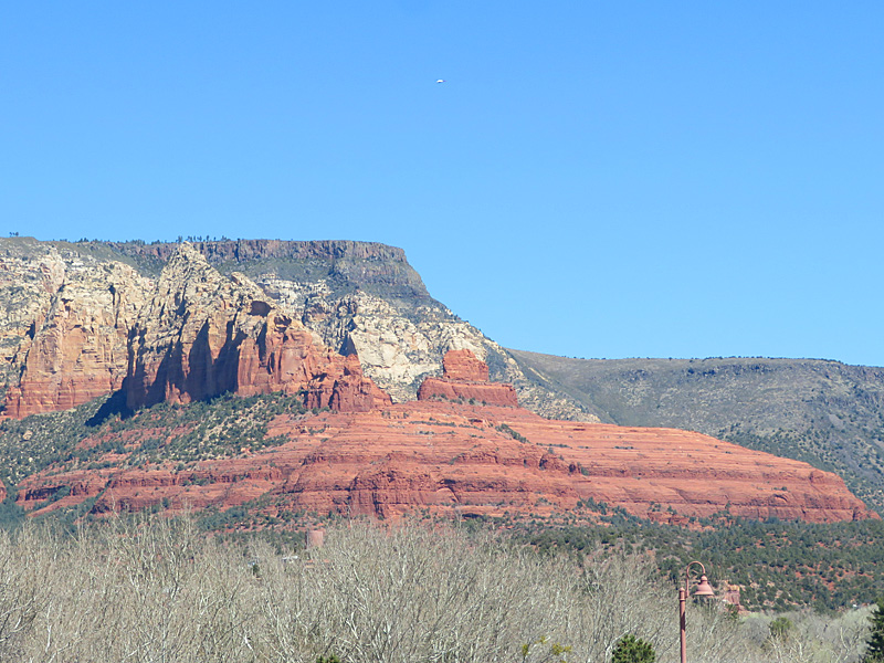
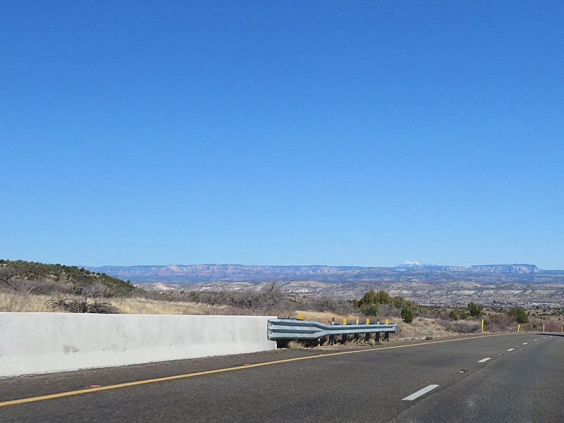
Bell Rock is one of the best known locations near Sedona. Iron gives the red color to the famous rocky terrain of the area around Sedona, Arizona. – photo by Joe AlexanderThe Sedona area is at the southern slope of the Colorado Plateau. About 80 miles north, the Grand Canyon cuts its way through the plateau.
This area used to be under a shallow sea. The red color in the rocks comes from iron mixed in with the limestone and sandstone.
It is supposed to be about a two-hour drive from Phoenix to Sedona. It took me more like three, but I stopped a few times along the way.
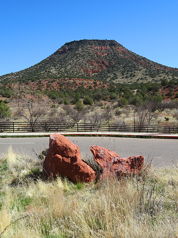
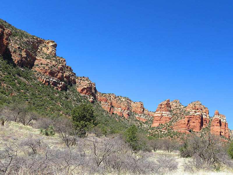
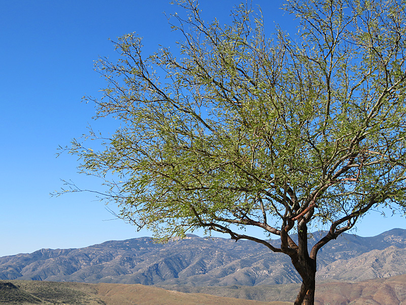
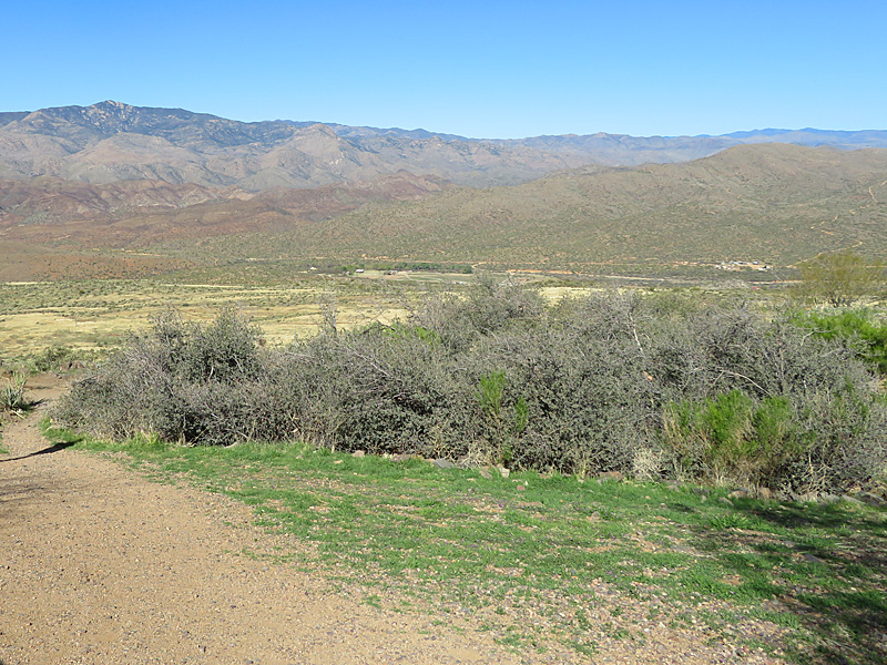
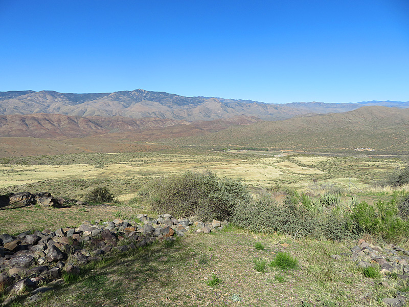
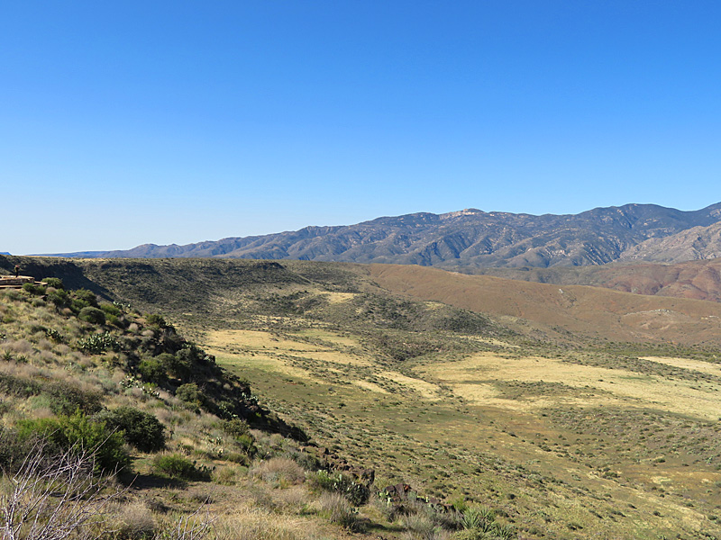
Central Arizona between Phoenix and Flagstaff. – photo by Joe AlexanderArizona doesn’t generally get a lot of rain, so you don’t have the towering trees or the amount of greenery that you see in some parts of the country.
As you drive north from Phoenix, you also go up in elevation. You leave behind the saguaros and see more trees and, eventually, the red rocks of the area around Sedona.
Along the way, you pass by the Prescott National Forest to the west.
Here is a description from the United States Forest Service:
“At the lowest elevation, the primary vegetation is of the Sonoran Desert type. As the elevation rises, chaparral becomes common, followed by piñon pine and juniper. Above that, Ponderosa pine dominates the landscape.”
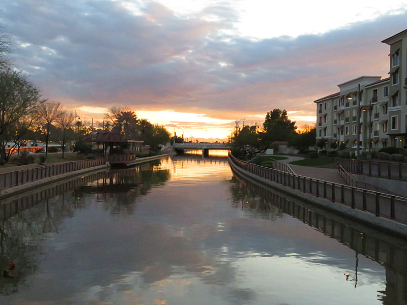
The waterfront at sunset in downtown Scottsdale, Arizona. – photo by Joe AlexanderDowntown Scottsdale, Arizona, includes the entertainment district, Old Town and the riverfront.
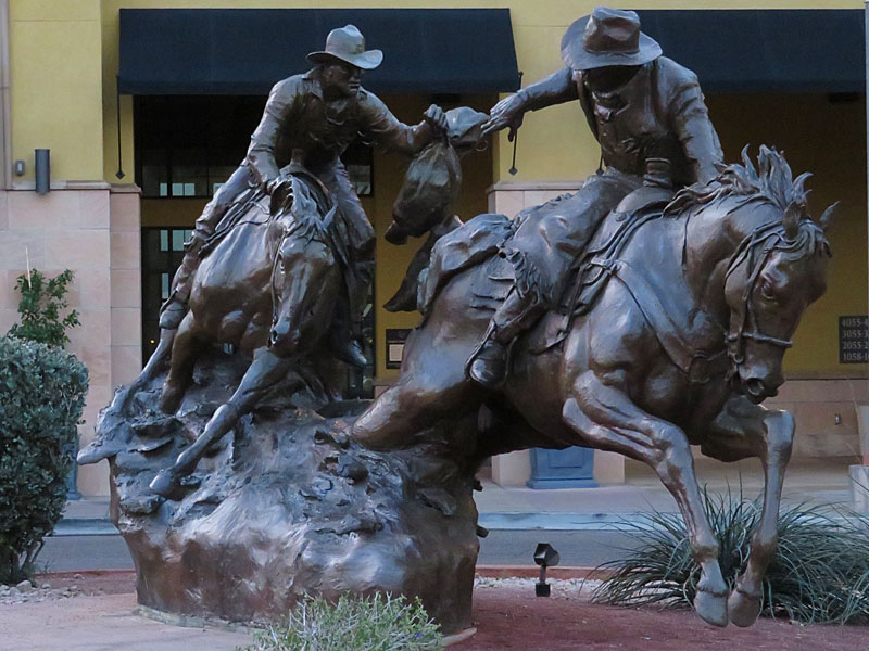
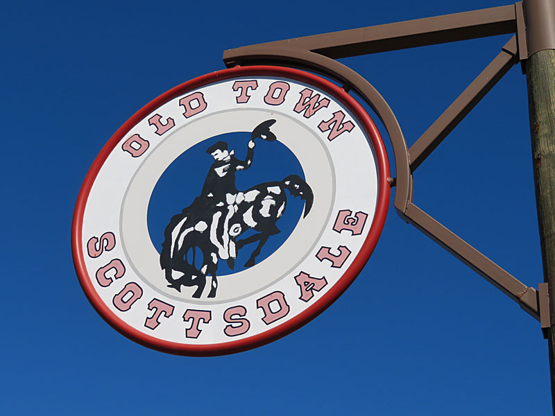
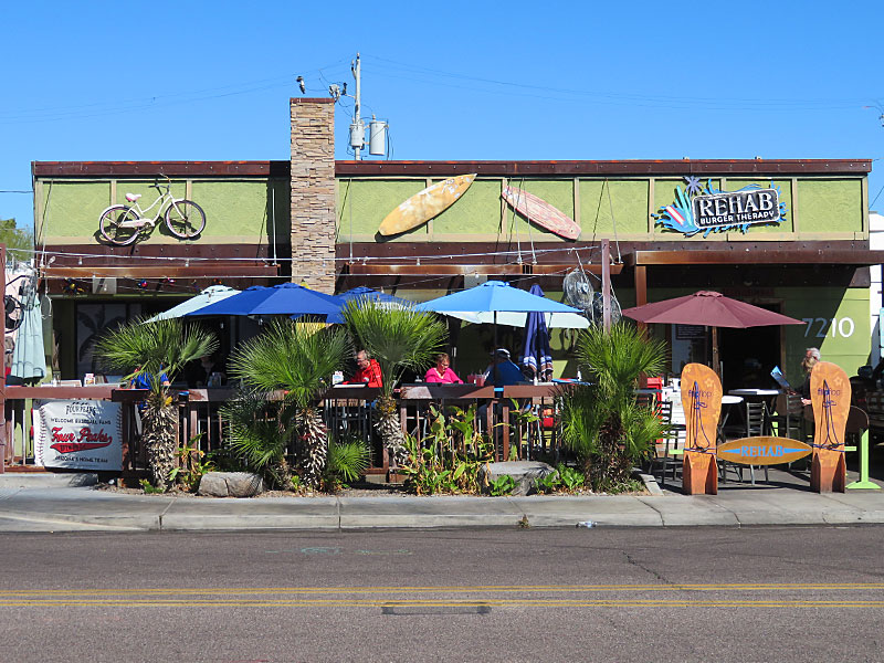
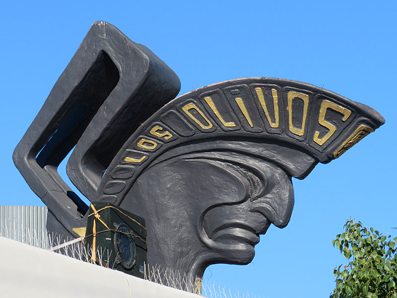
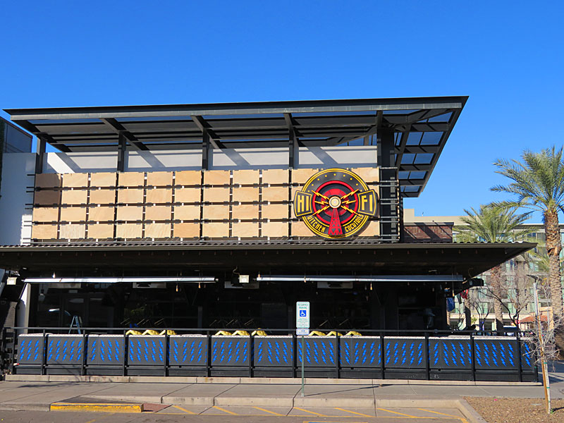
This is how you know when you’re in Old Town Scottsdale, Arizona. – photo by Joe AlexanderIt would take weeks to try all the restaurants in Old Town Scottsdale in Arizona.
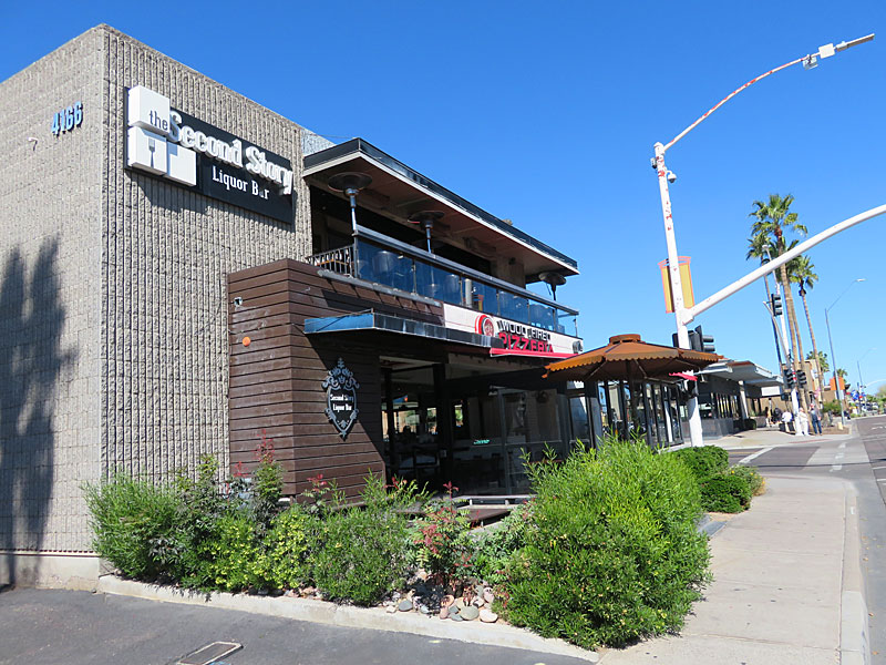
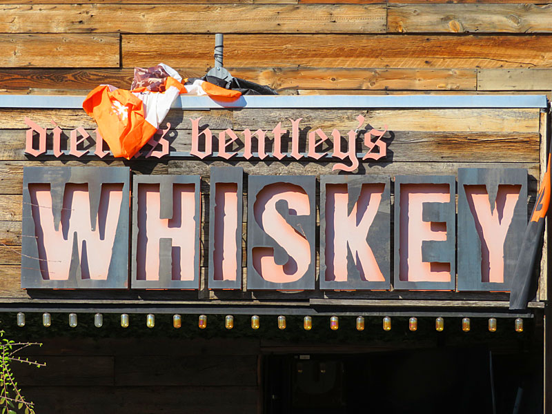
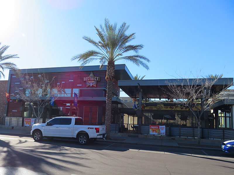
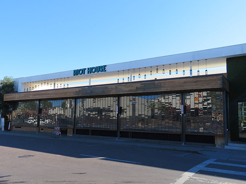
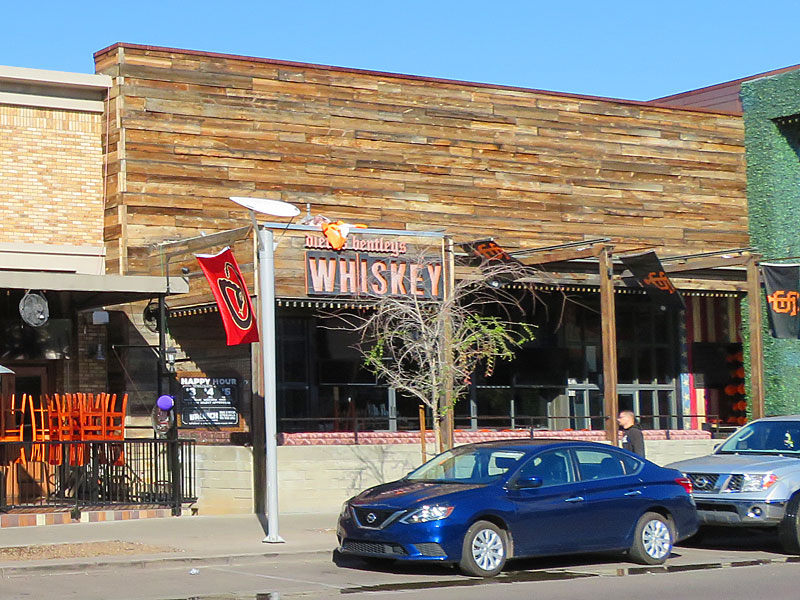
Casa Amigos in Scottsdale, Arizona. – photo by Joe AlexanderThe nightlife section of Scottsdale, Arizona, around Old Town. Casa Amigos, The District, El Hefe and Dierks Bentley’s Whiskey Row.