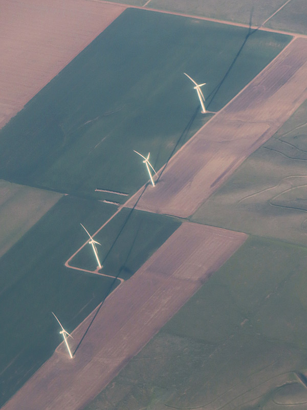
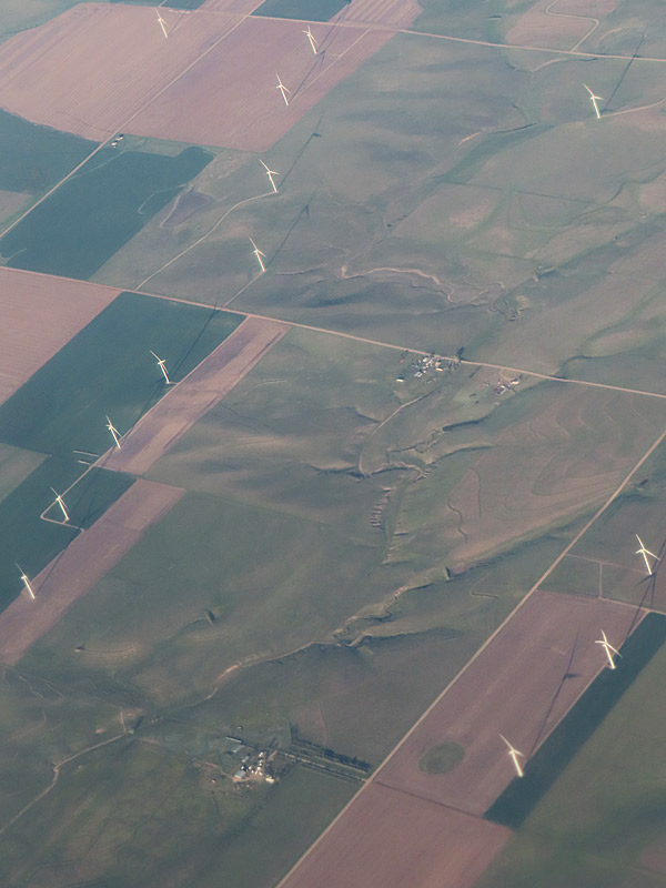
Tall wind turbines as seen from the air on a sunny morning in Colorado shortly before descending into Denver International Airport. – photo by Joe AlexanderMy latest trip started off with a morning flight into Denver to make a connection.
We were flying north and I was sitting in a left-side window seat. Not long before we got to Denver, I saw a large wind farm – making it roughly south to southeast of Denver. At that time of day, the windmills (technically wind turbines) cast long shadows that you could see from the air.
I don’t know which wind farm this was. Checking with Google, the largest wind farms in that area are the Rush Creek Wind Project and the Limon Wind Energy Center.
Tall wind turbines as seen from the air on a sunny morning in Colorado shortly before descending into Denver International Airport.
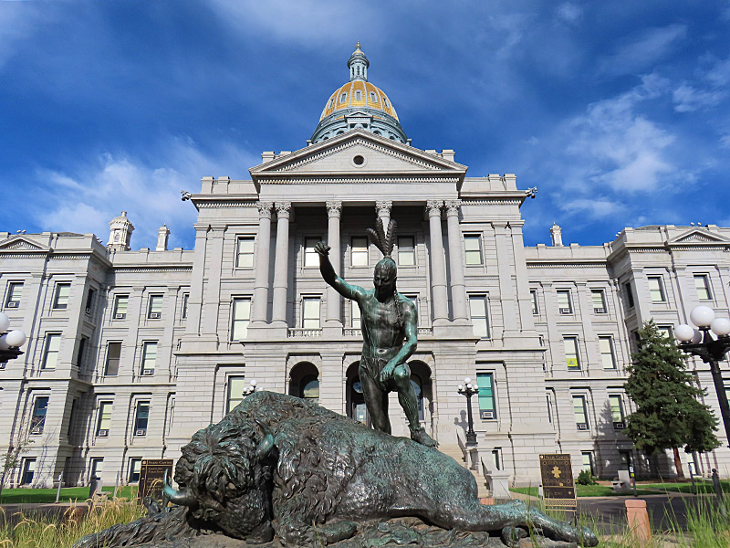
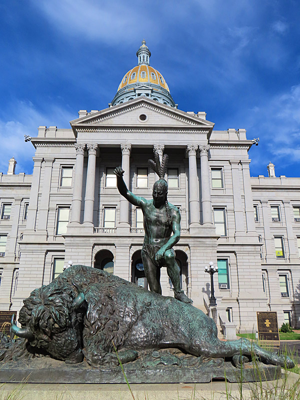
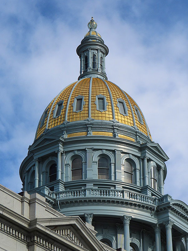
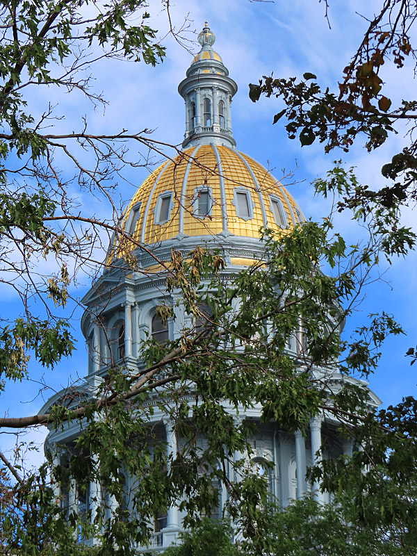
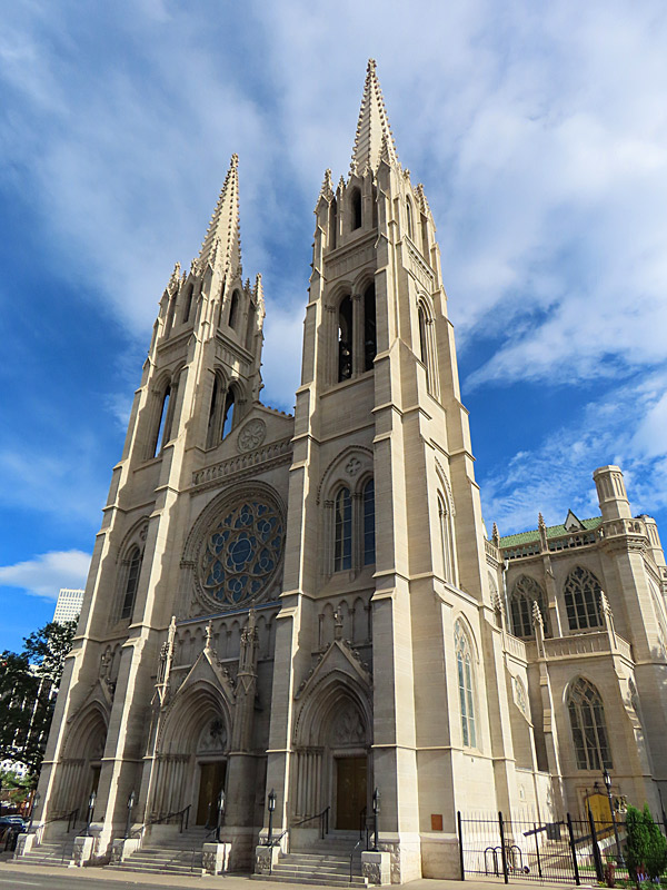
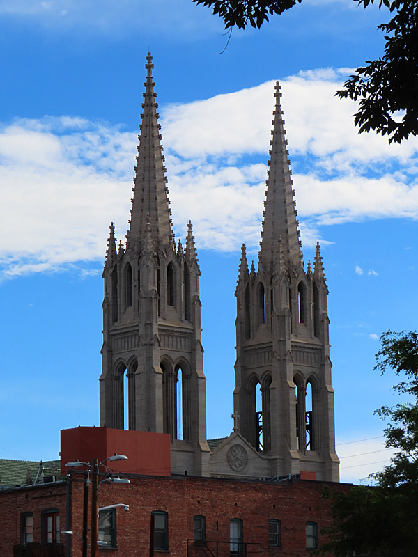
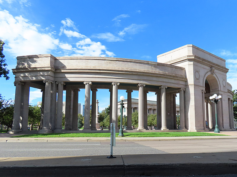
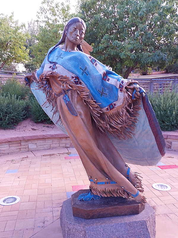
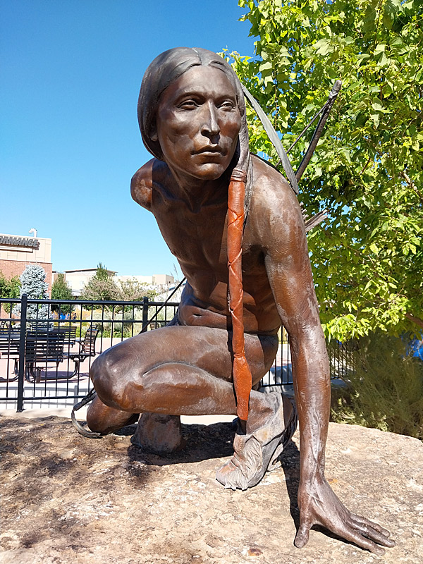
Colorado State Capitol in downtown Denver. The statue of the bison and Native American was done by Preston Powers in the 1890s. – photo by Joe AlexanderThe Colorado State Capitol, Cathedral Basilica of the Immaculate Conception and Civic Center Park are all in close proximity in downtown Denver.
Colorado State Capitol
Colorado State Capitol
Colorado State Capitol
Cathedral Basilica of the Immaculate Conception
Cathedral Basilica of the Immaculate Conception
Civic Center Park
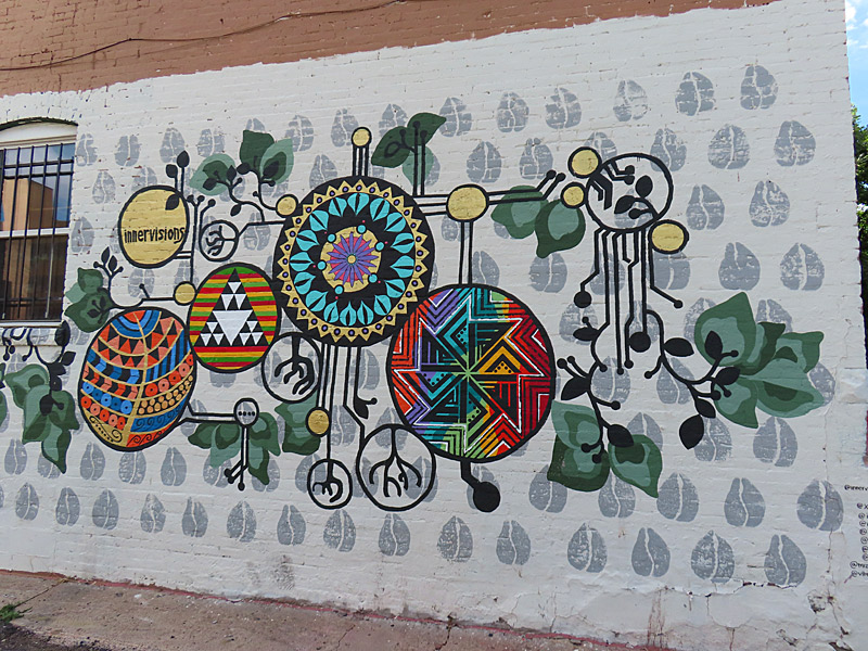
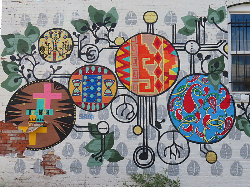
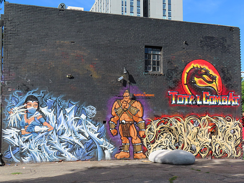
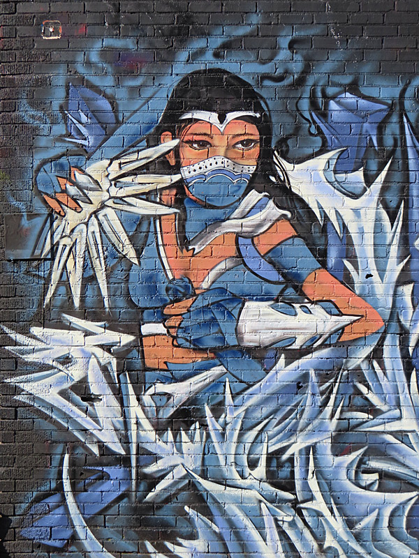
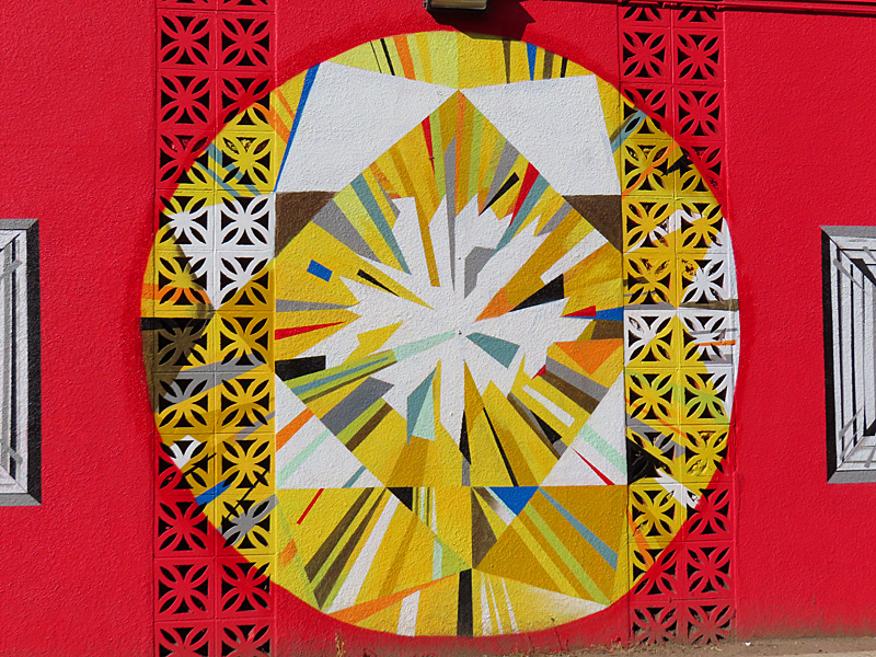
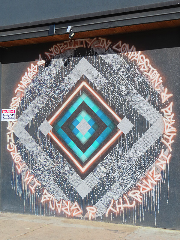
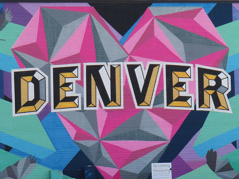
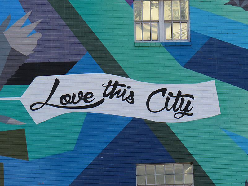
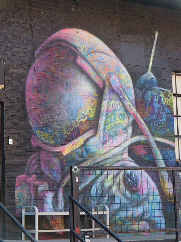
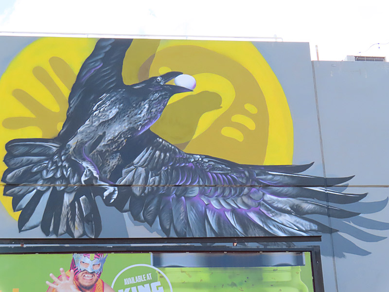
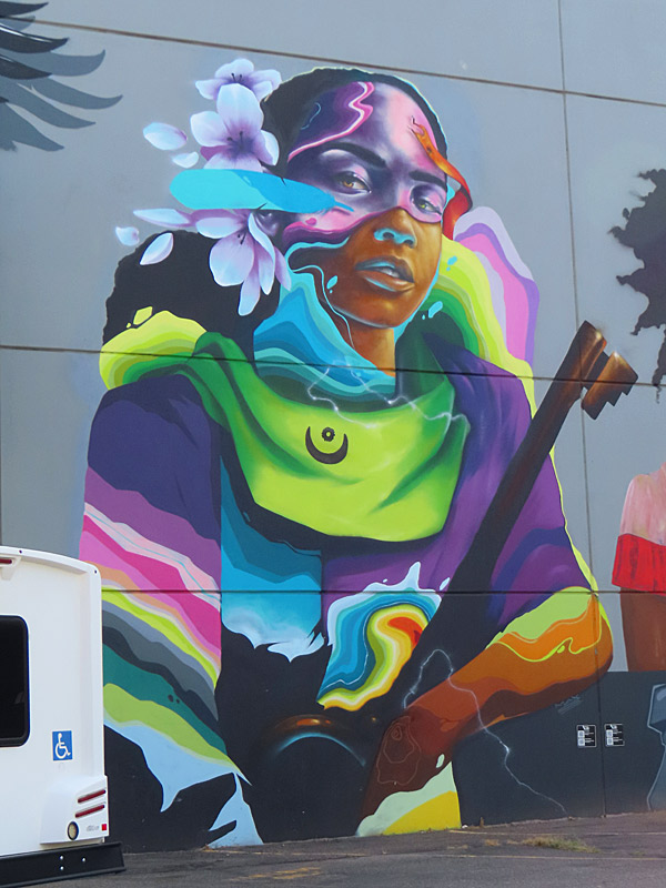
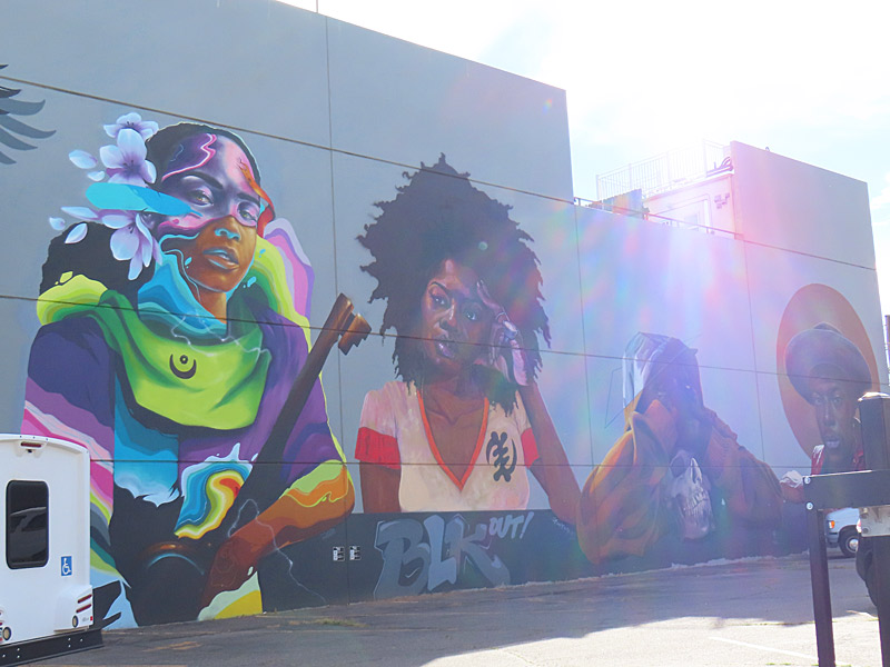
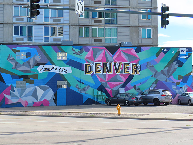
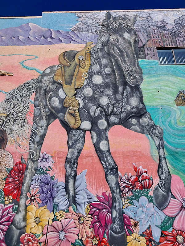
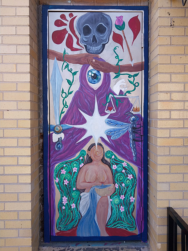
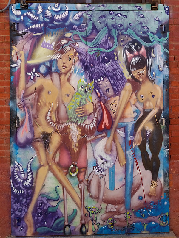
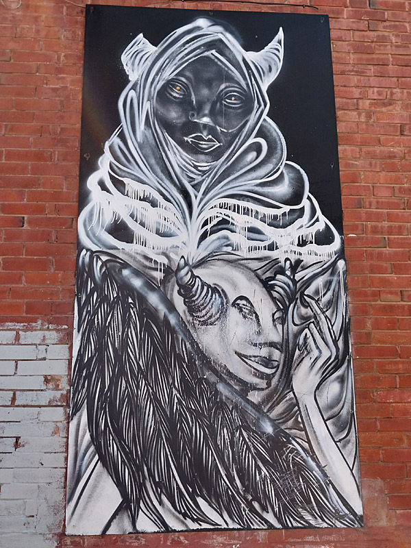
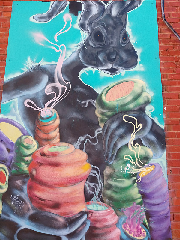
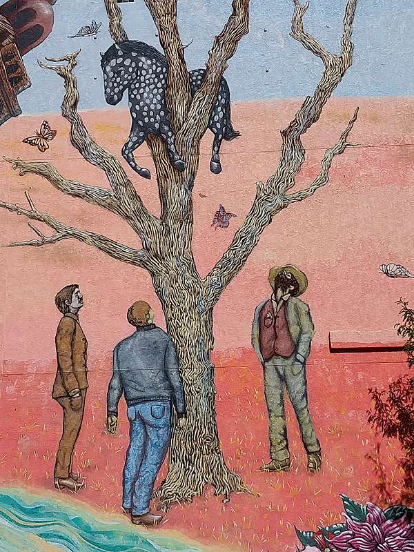
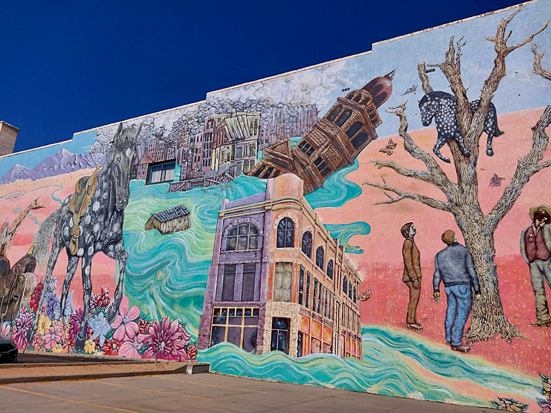
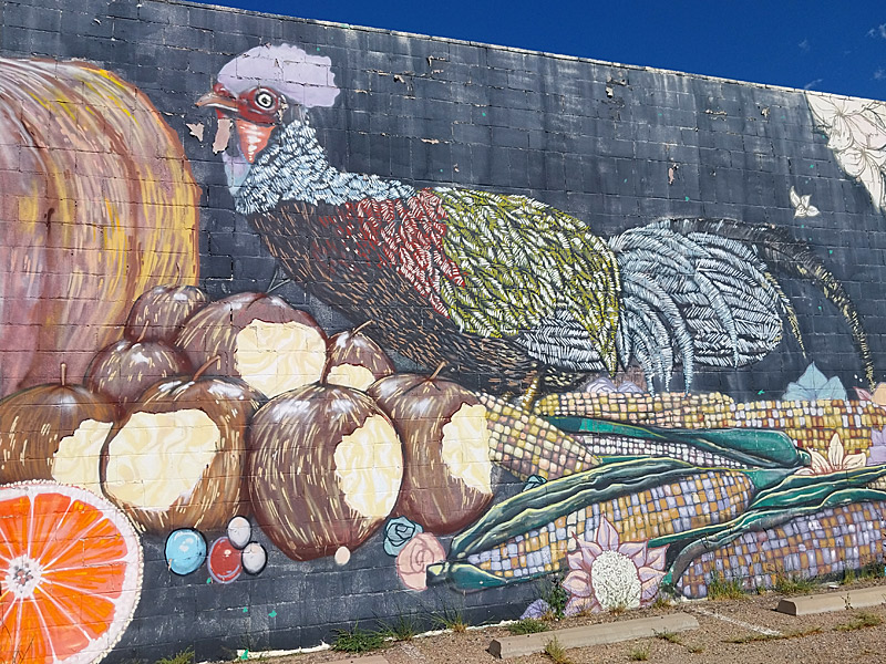
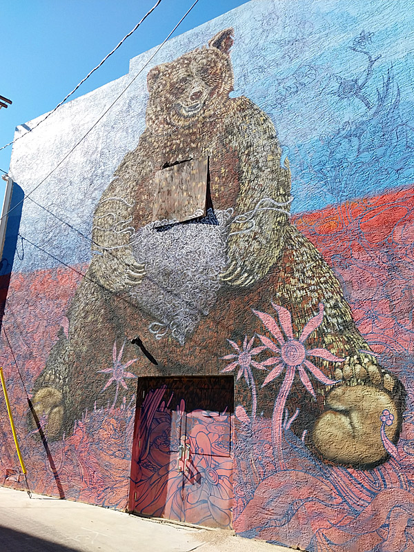
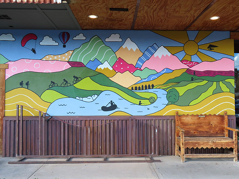
The best known mural in the Art District on Santa Fe is Love This City Denver by Pat Milbery. There’s plenty more art around just about every corner of this neighborhood.
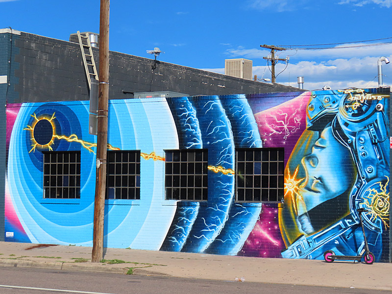
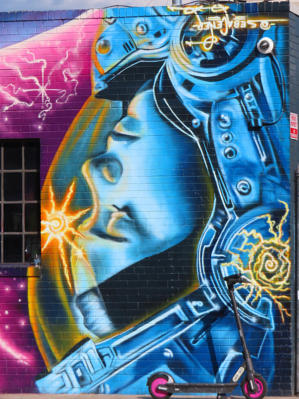
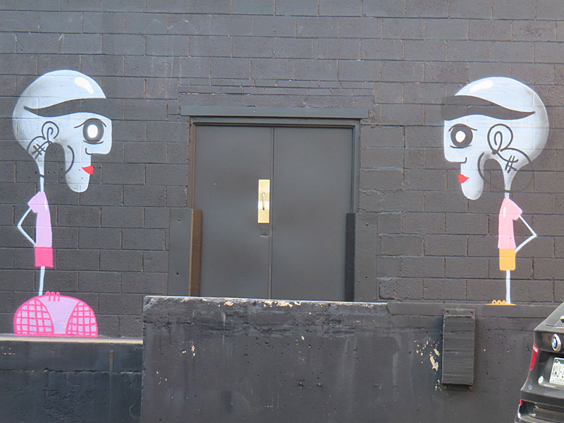
Art District on Santa Fe
Art District on Santa Fe
Art District on Santa Fe
Art District on Santa Fe
Art District on Santa Fe
Art District on Santa Fe
Art District on Santa Fe
Art District on Santa Fe
Art District on Santa Fe
Art District on Santa Fe
Art District on Santa Fe
Art District on Santa Fe
Art District on Santa Fe
Art District on Santa Fe
Art District on Santa Fe
Art District on Santa Fe
Art District on Santa Fe
Art District on Santa Fe
Love This City Denver mural by Pat Milbery on Art District on Santa Fe in downtown Denver, Colorado. The colors of the mural will look much brighter if you catch it on a sunny afternoon. I just happened to be in the neighborhood in the morning when it was in the shade.
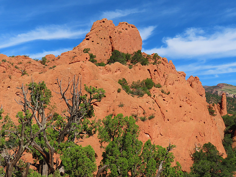
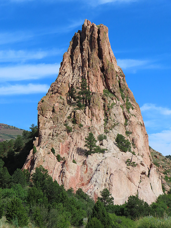
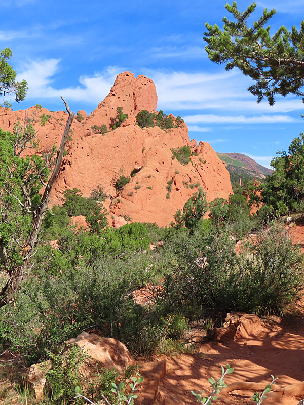
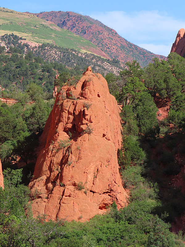
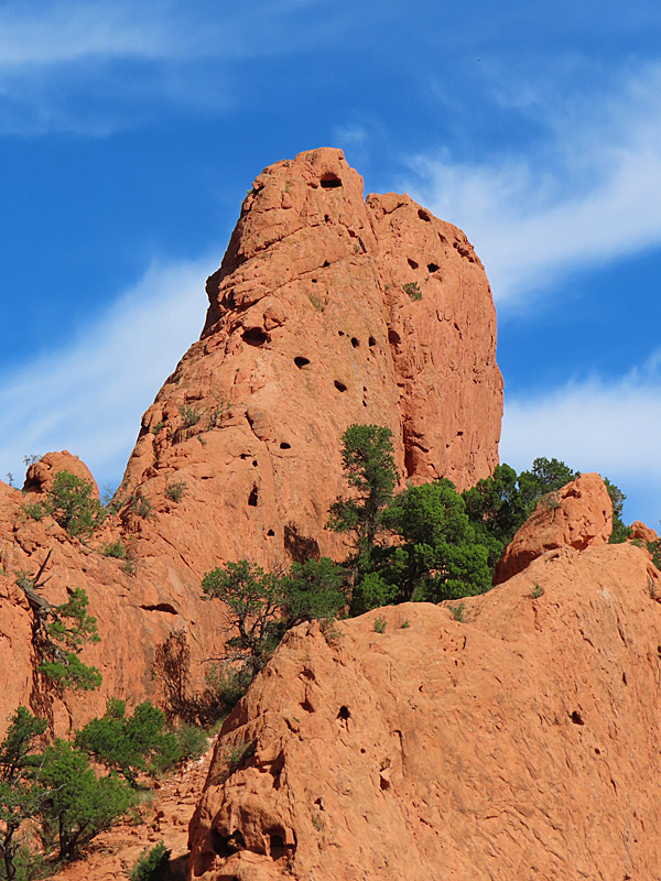
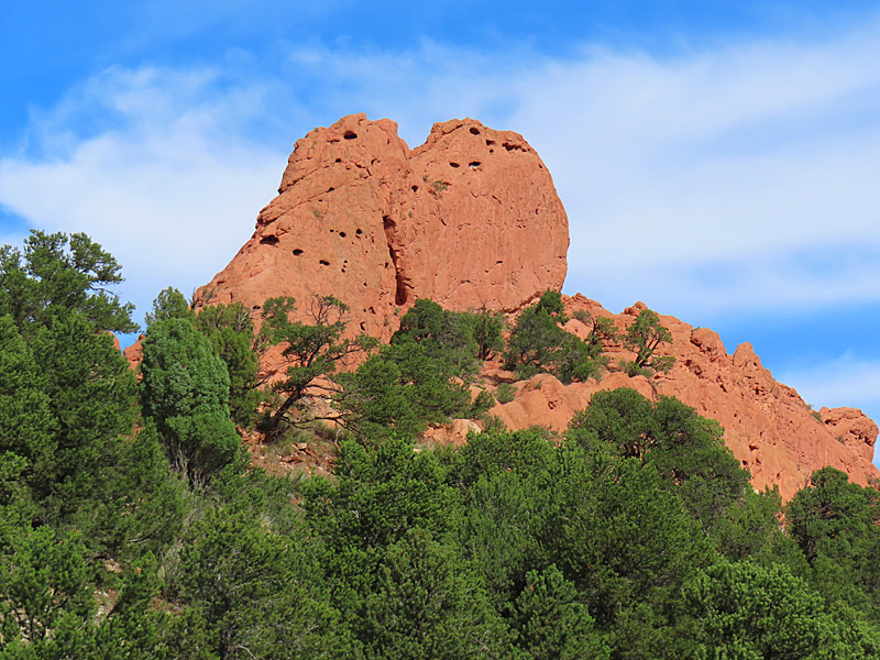
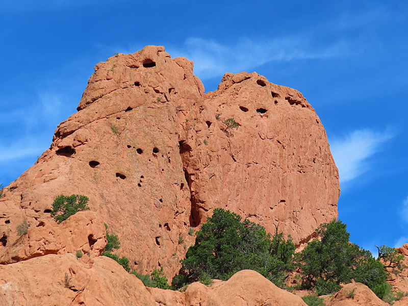
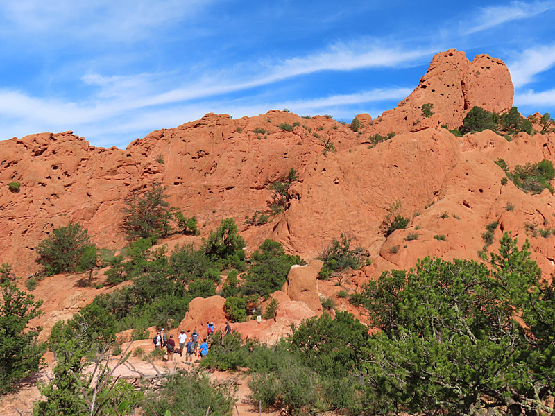
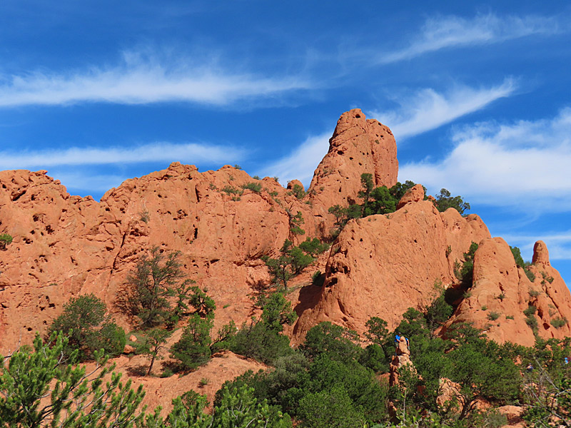
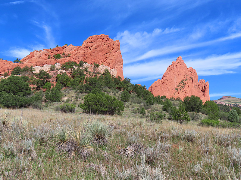
Garden of the Gods in Colorado Springs in late August 2024. – photo by Joe AlexanderI’ve been to the Garden of the Gods in Colorado Springs a few times before and I was looking forward to going back. Showing up late in the morning on one of the last weekends of summer vacation, however, killed any chance I had for much room to myself. Both parking and views that were free of other tourists were hard to come by. I found a parking space in one of the more isolated lots, that was still almost full, and I hiked in far enough to get a few pictures.
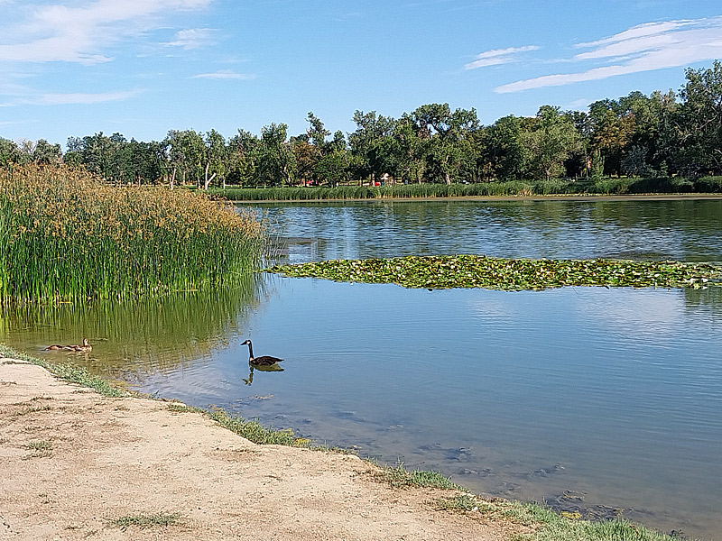
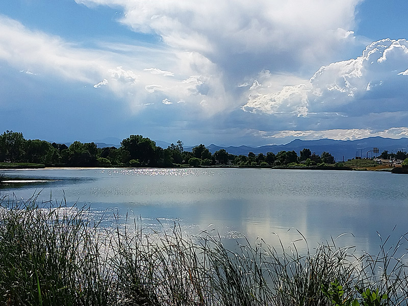
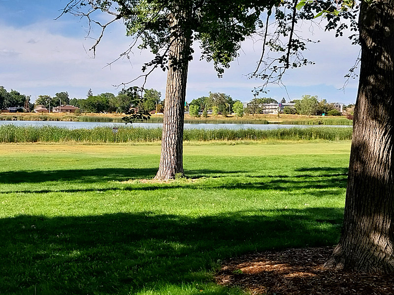
From there, it was north to Denver. I was pleased to find a nice little park with a small lake (or very large pond) near my hotel on the north side of Denver. Other that a healthy throng gathered at a softball field and a few joggers, I had Rocky Mountain Lake Park mostly to myself. With a noticeable lack of humidity on a warm afternoon, I got in a good walk without breaking a sweat.
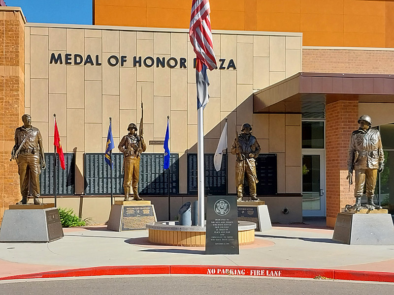
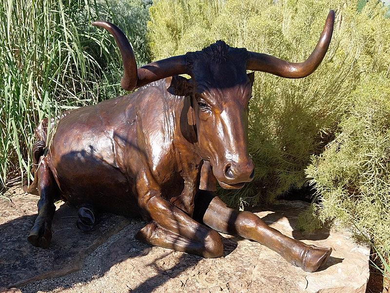
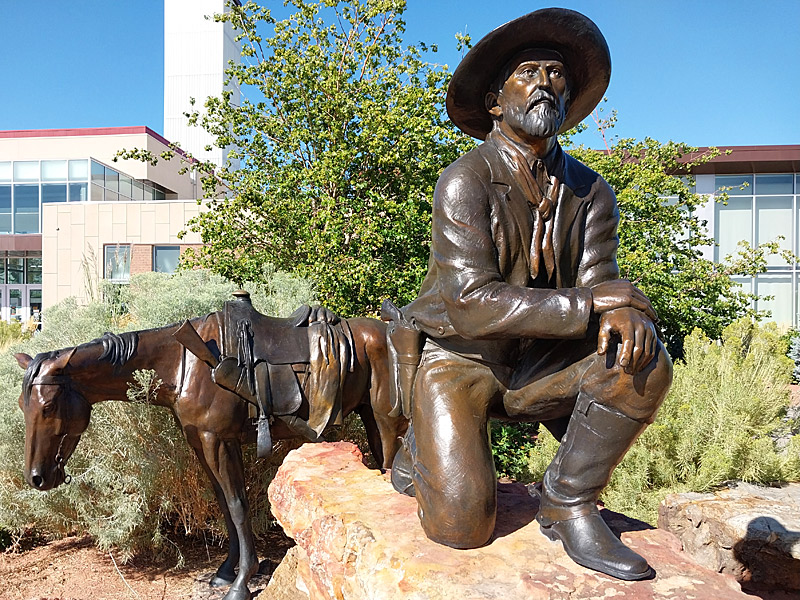
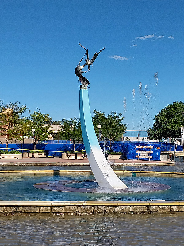
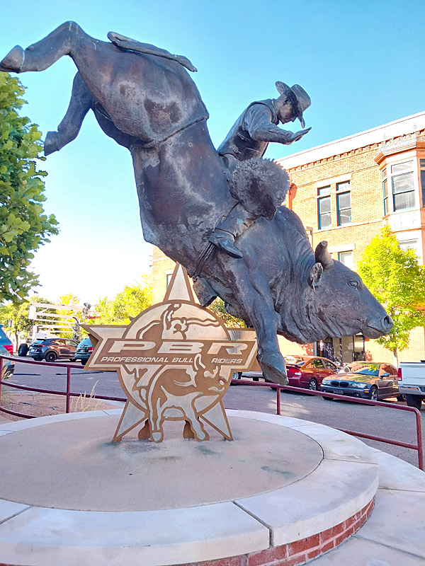
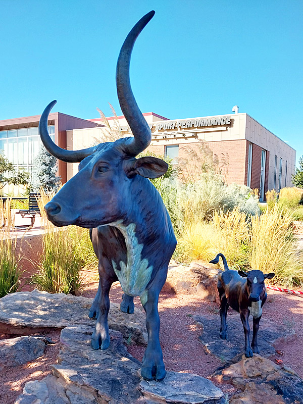
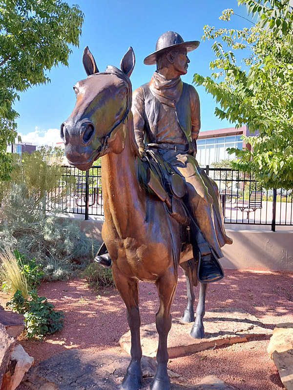
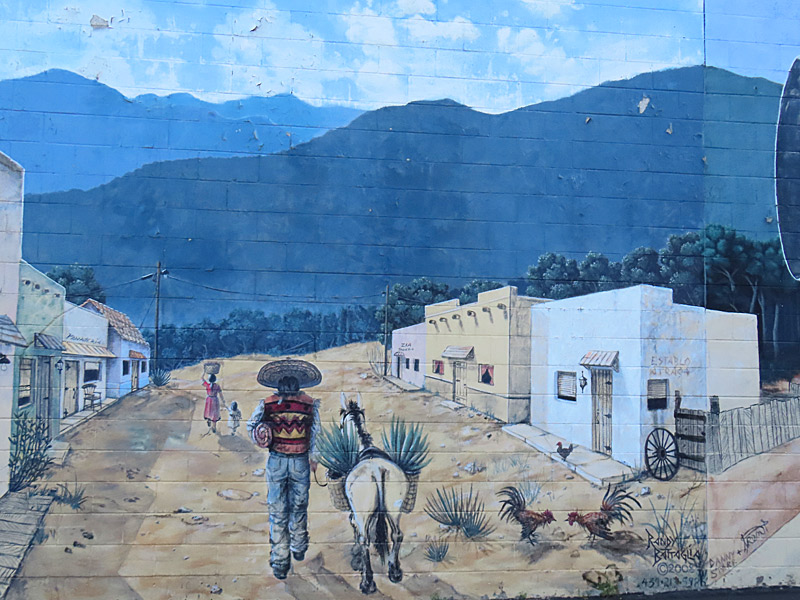
Mural in downtown Pueblo, Colorado. – photo by Joe AlexanderPueblo, Colorado’s downtown includes several large murals and also a tribute to members of the military.
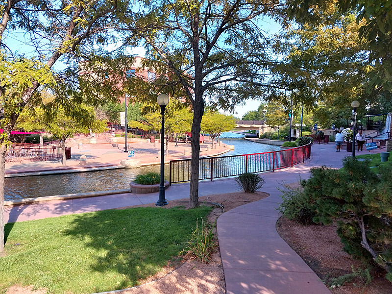
The Pueblo Riverwalk area includes old-west themed sculptures as well as restaurants next to wide sidewalks bordering the Arkansas River.
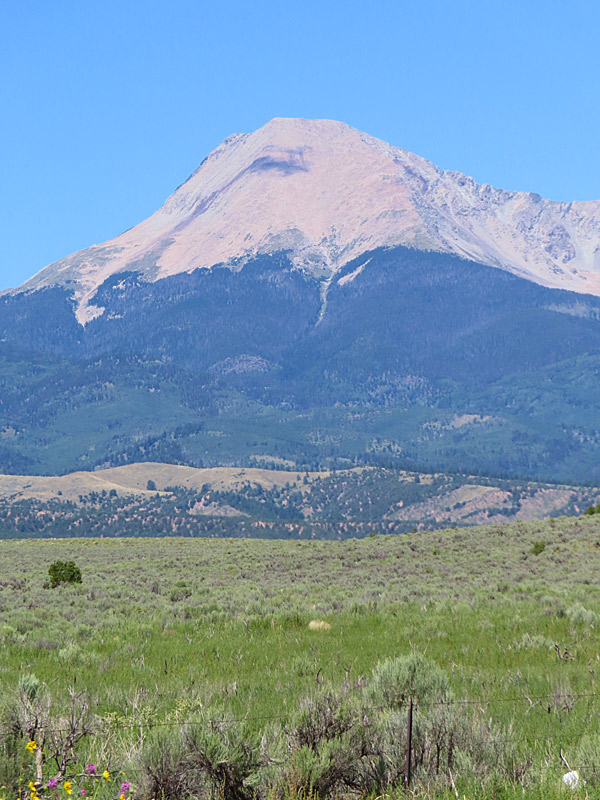
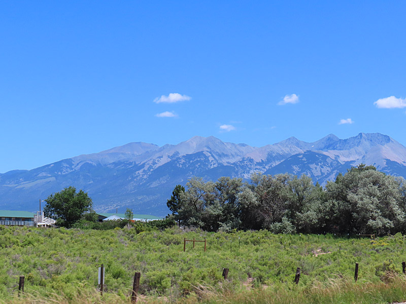
View of Blanca Peak Peak in Colorado from a roadside stop on Highway 160. It looked like there was still quite a bit of snow at the higher elevations. – photo by Joe AlexanderI made my longest drive of the trip, going from Durango the southwestern corner of Colorado across the southern part of the state on Highway 160 on the way to Pueblo.
There were some cool towns along the way but the most striking vista was Blanco Peak. At more than 14,000 feet, it has the fourth highest summit in the state of Colorado.
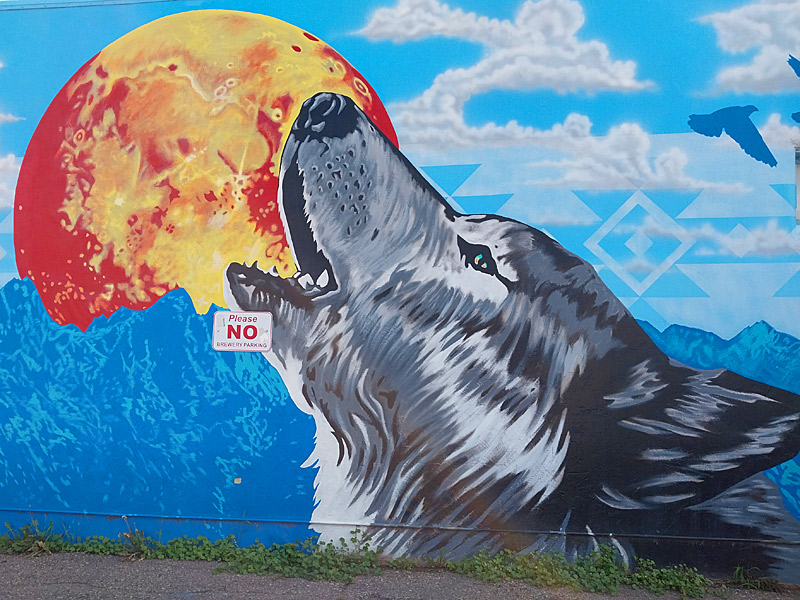
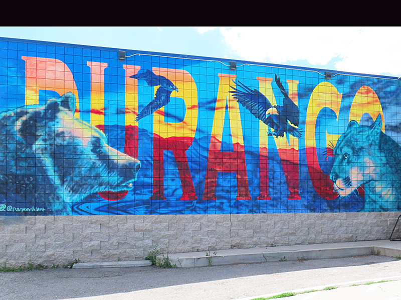
Mural in Durango, Colorado in August 2024. – photo by Joe AlexanderThere were a few murals along the road within walking distance of my motel in Durango.
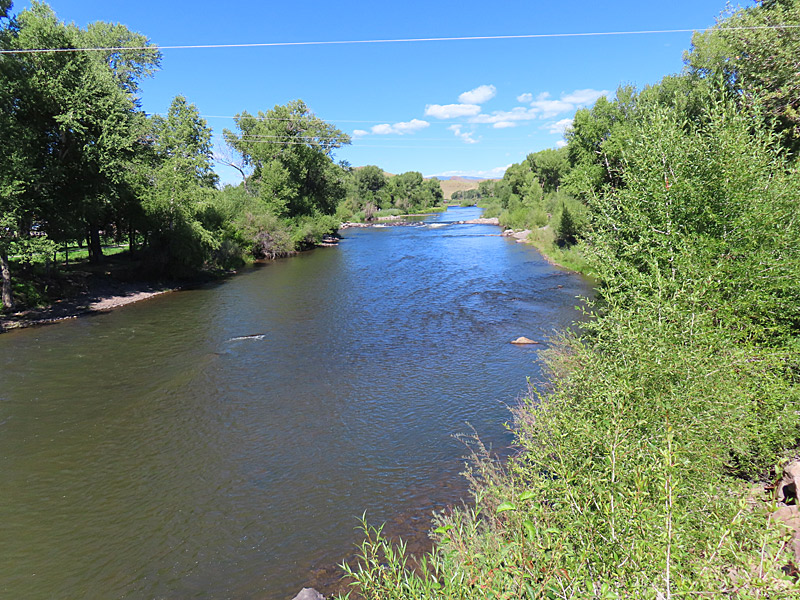
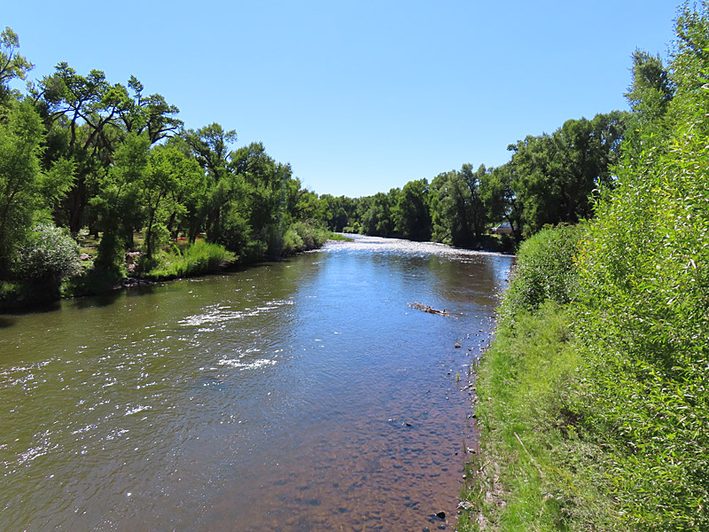
The Animas River, known for its trout fishing, flows through the heart of the city and along Historic Downtown Durango.
Durango was formed by a railroad company in 1880 to supply nearby silver and gold mining operations.
Durango, Colorado
Durango, Colorado
Durango, Colorado
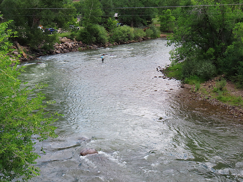
A fisherman has this section of the Animas River all to himself as it flows through Durango.
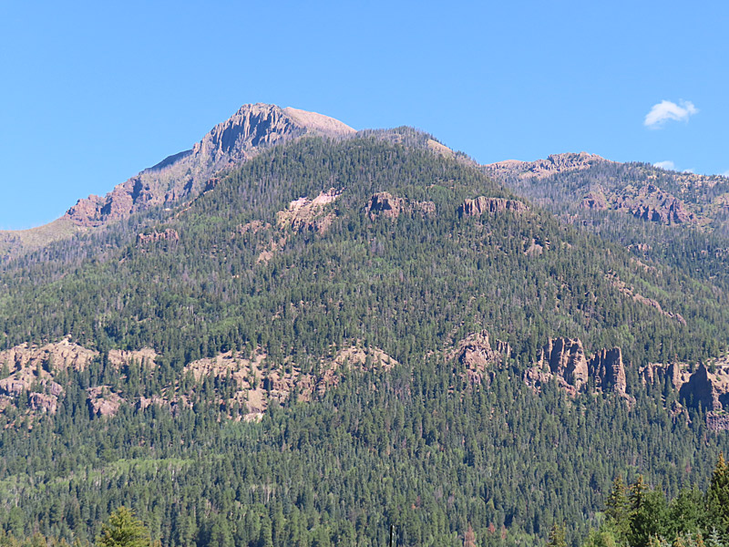
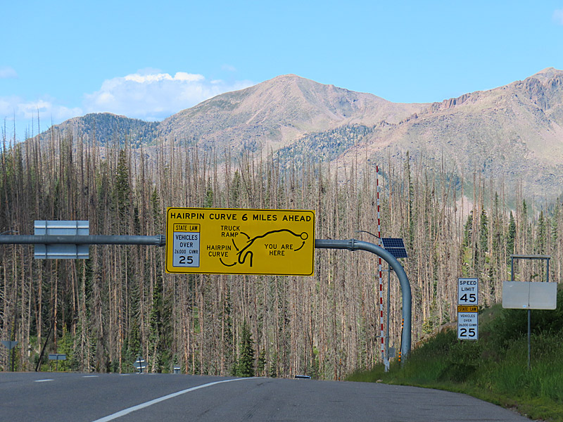
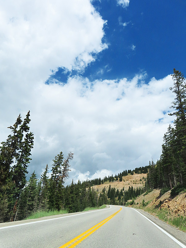
Just for the record, I was pulled off on the side of the road when I took this picture. This is what awaits you on Highway 160 in Colorado when you are driving west between Del Norte and Durango. – photo by Joe AlexanderI left the interstate in the morning and drove the high road through the Rocky Mountains and across Colorado on some old-school American highways. There were lots of miles on two-lane roads and slow winding curves through the mountains.
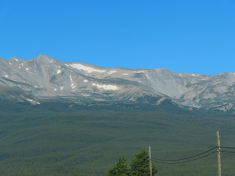
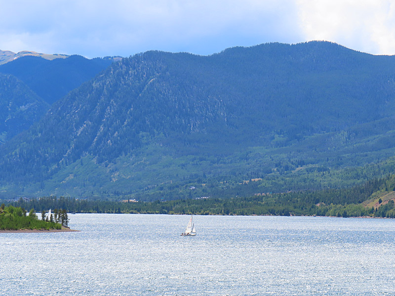
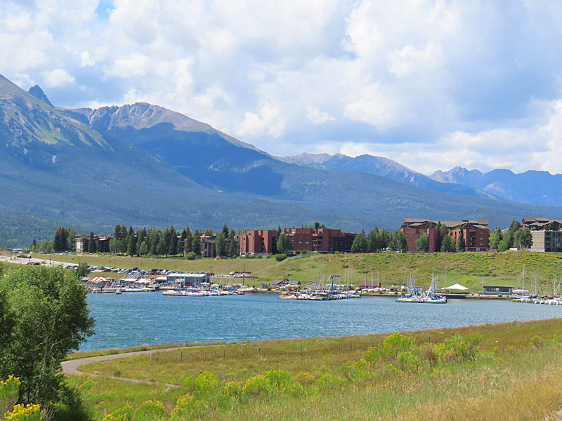
My morning started by heading south and I could really feel the elevation change as my car struggled a little bit and the temperature on a sunny August day dropped to 39 degrees. That was just on the 34-mile stretch from Silverthorne to Leadville, Colorado, on Highway 91.
Highway 91 – Colorado
Highway 91 – Colorado
Leadville, Colorado
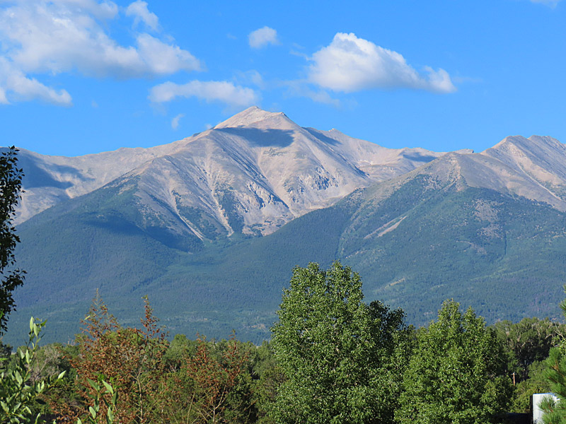
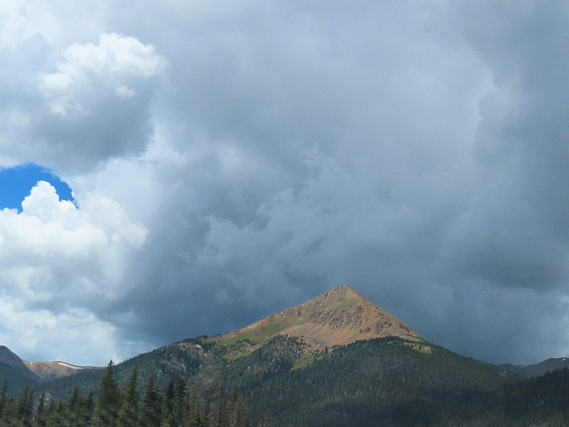
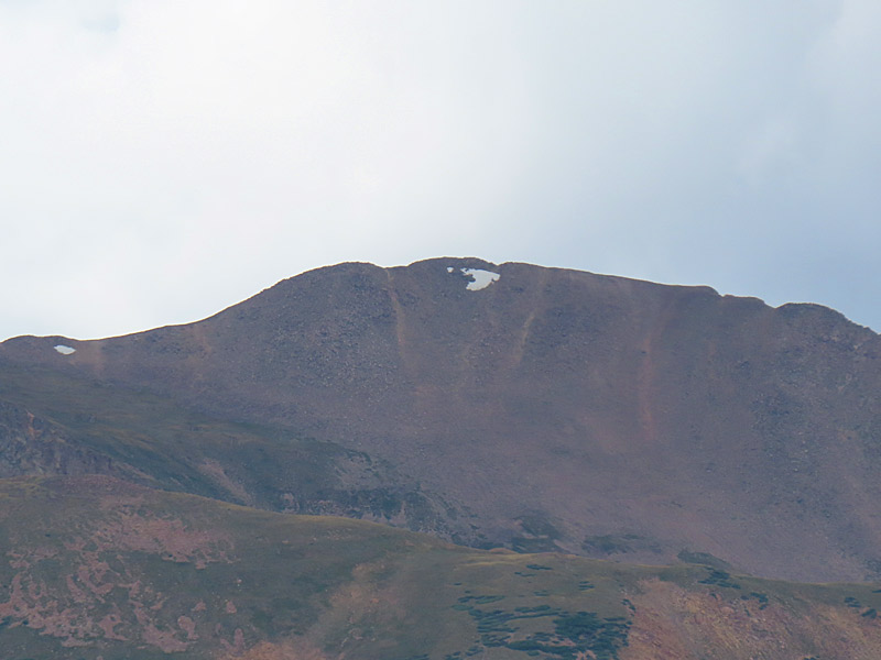
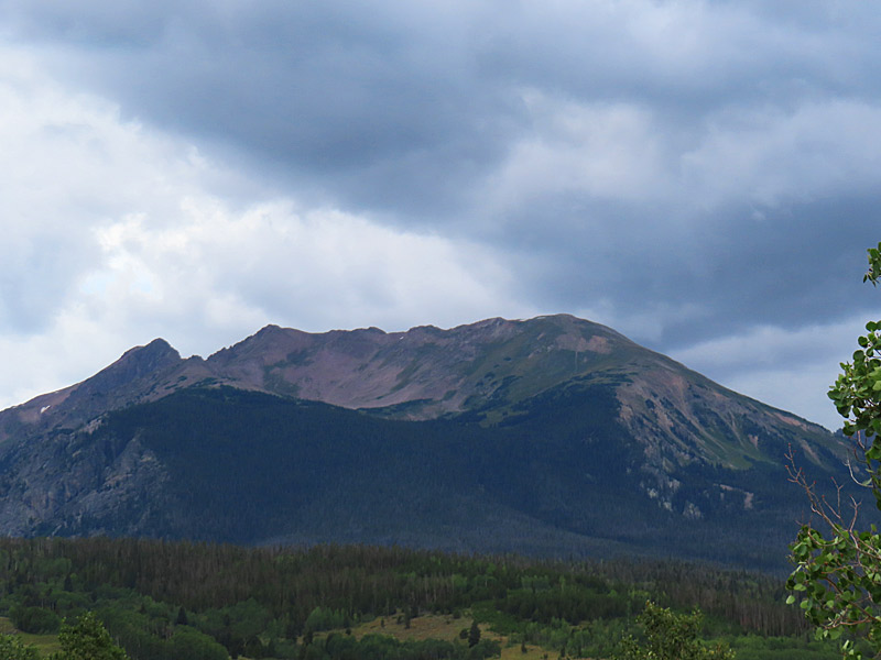
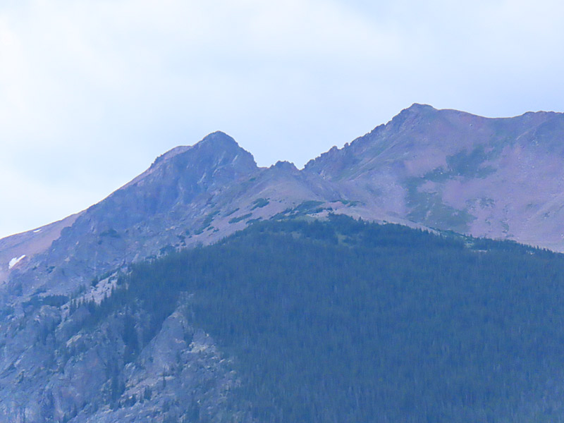
From Leadville, I continued south on Highway 24 and then Highway 285 through central Colorado. Mountain peaks and blue skies with puffy white clouds were constantly part of the view. Every once in a while you would spot a little bit of last winter’s snow still clinging to some of the higher mountains.
Highway 285 – Colorado
Highway 285 – Colorado
The last time I saw the Rio Grande, it was at the southern tip of Texas along the Texas border nearly a thousand miles away. It’s almost impossible to believe it could be the same river. Here in Del Norte, Colorado, the water runs cold from the melting mountain snow that feeds it.
Rio Grande – Del Norte
Rio Grande – Del Norte
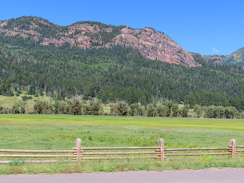
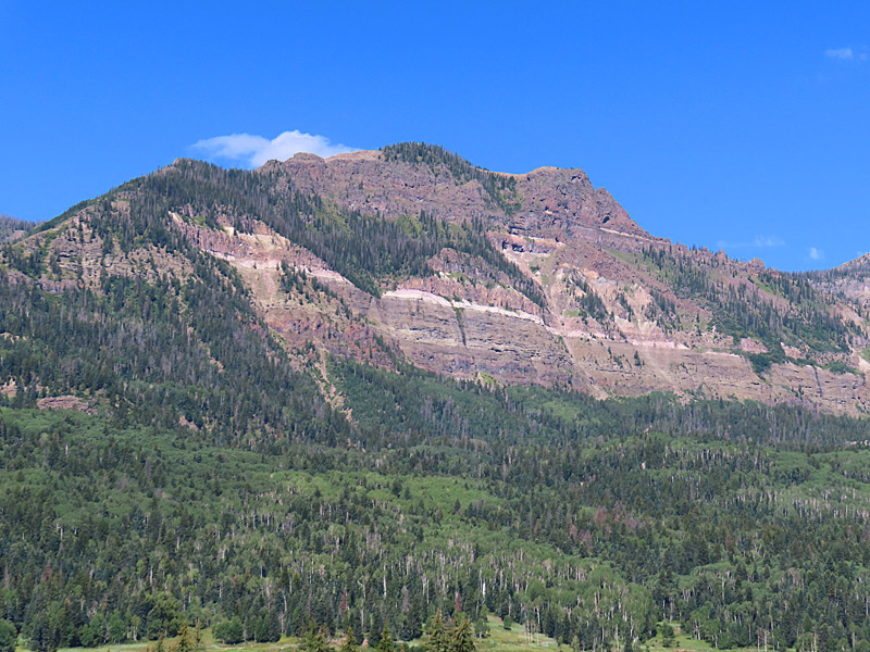
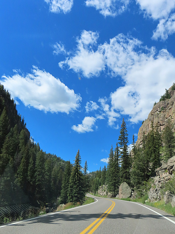
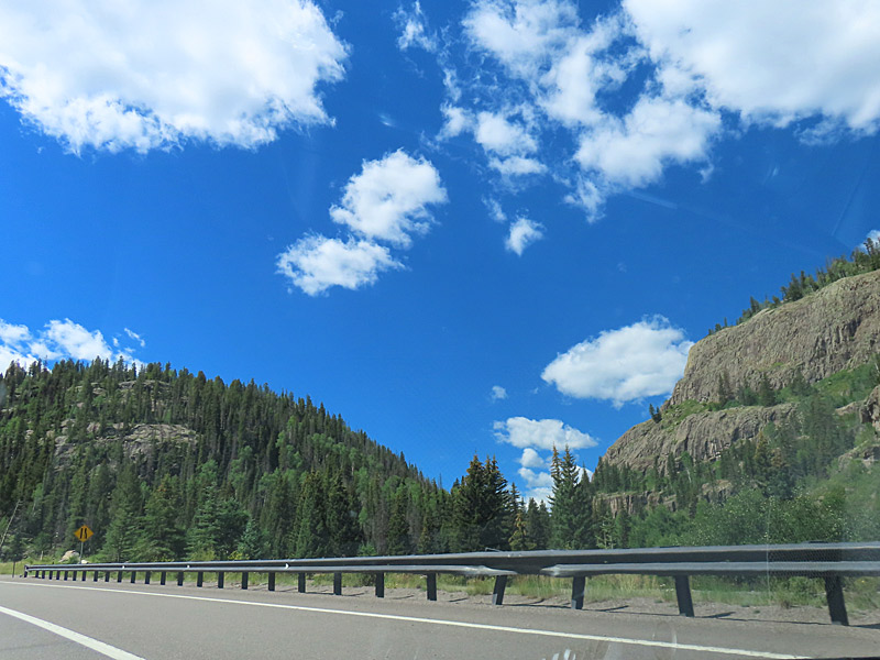
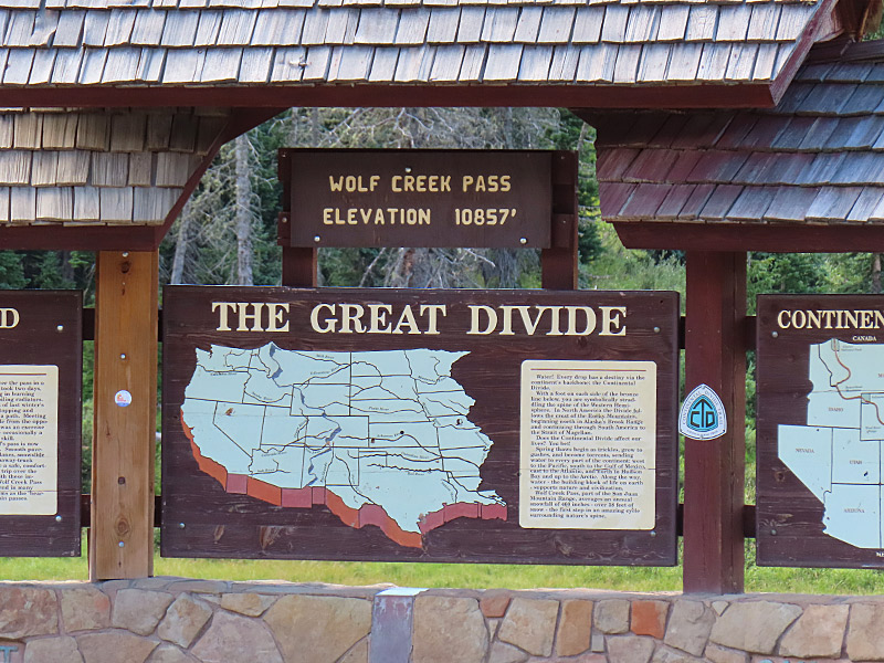
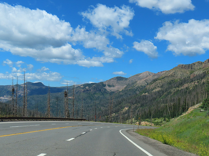
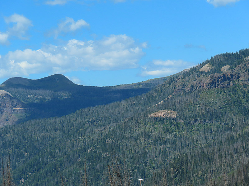
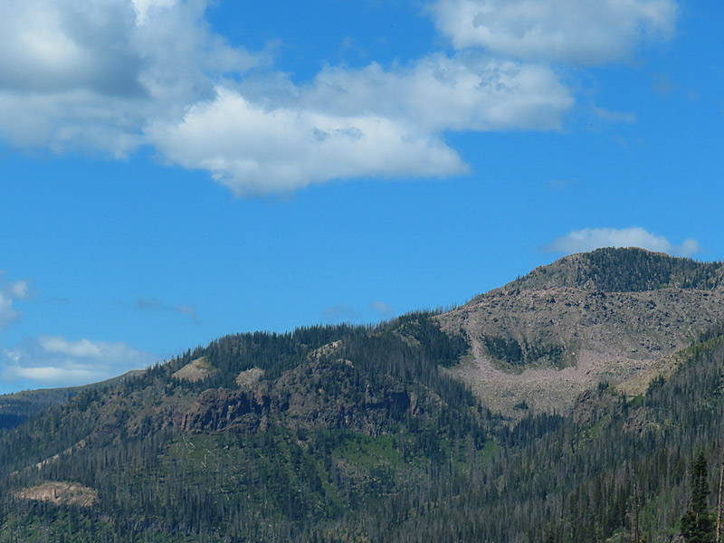
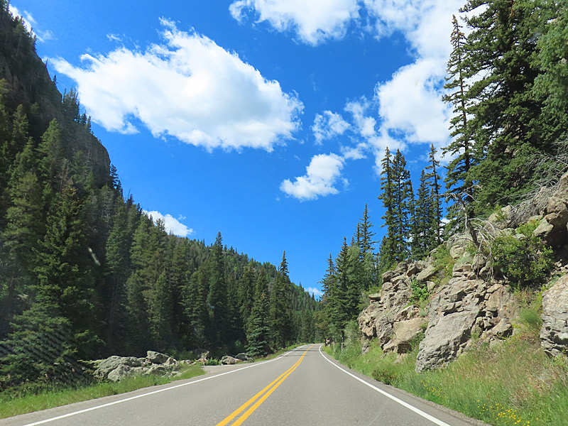
Heading west from Del Norte to Durango provides more steep grades and winding turns along Highway 160. I enjoyed the views but I was sure glad I wasn’t driving a semi. And I crossed the Great Divide again, this time at Wolf Creek Pass.
Highway 160 – southwestern Colorado
Highway 160 – southwestern Colorado
Highway 160 – southwestern Colorado
Highway 160 – southwestern Colorado
Highway 160 – southwestern Colorado
Highway 160 – southwestern Colorado
Highway 160 in Colorado driving west between Del Norte and Durango in August 2024.
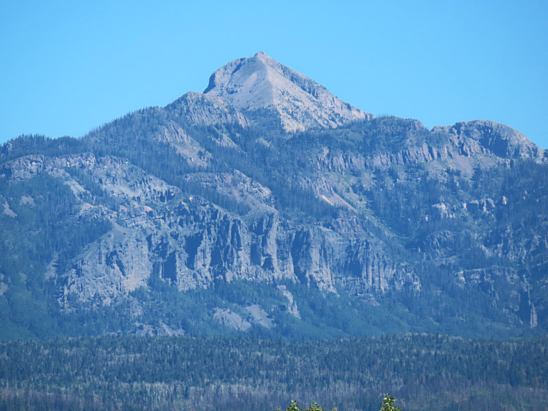
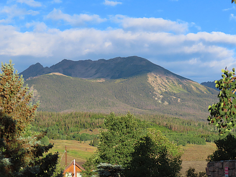
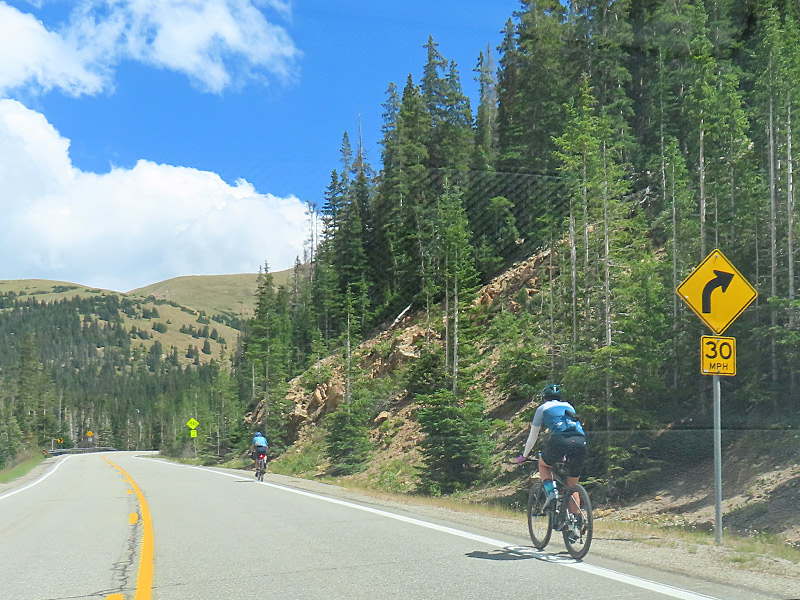
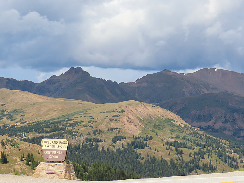
Sharing the road with a number of people riding their bicycles through the Rocky Mountains. Highway 6 in Colorado in August 2024. – photo by Joe AlexanderAfter flying into Denver, I headed west on I-70 and then took a side trip on Highway 6. It was a fun drive on a twisty two-lane road over the mountains and through central Colorado on the way to Silverthorne. I even saw a tiny bit of snow on a few of the peaks (third image) – even in August.
Highway 6 – Colorado
Highway 6 – Colorado
Highway 6 – Colorado
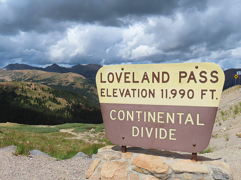
I crossed the continental divide part way through my side trip along Colorado Highway 6.
Continental Divide
– Loveland Pass
Continental Divide
– Loveland Pass
Continental Divide
– Loveland Pass
Farther west along Colorado Highway 6 on the way to Silverthorne. I believe the waterway is part of the Snake River system.
Highway 6 – Colorado
Highway 6 – Colorado
Highway 6 – Colorado
Highway 6 – Colorado
Highway 6 – Colorado
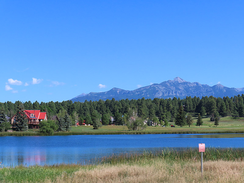
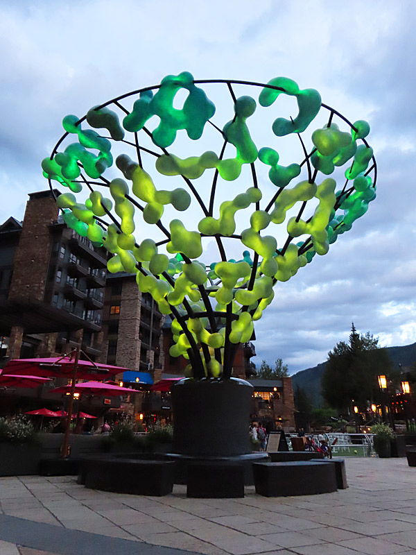
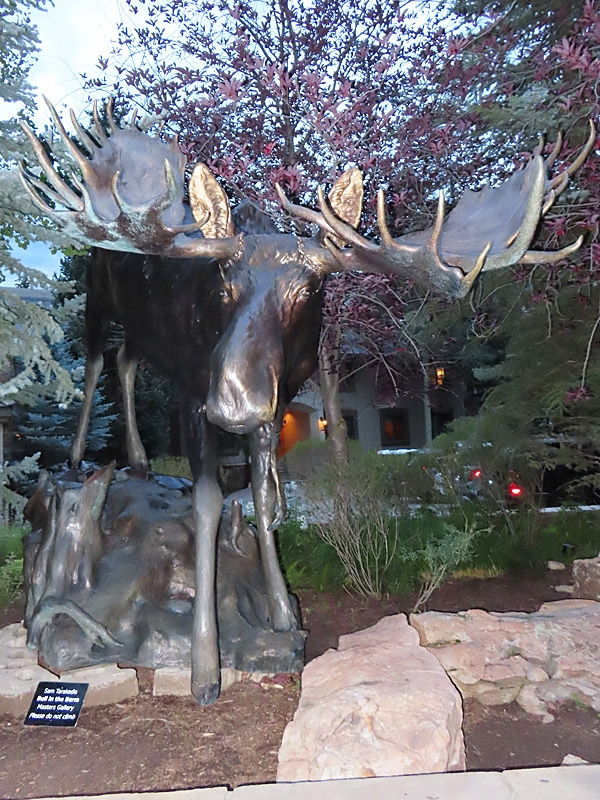
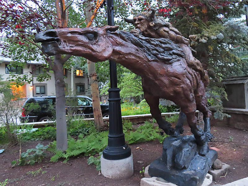
Vail Village is one of the most popular spots along the interstate when you travel west from Denver. Although best known as a ski area, it’s a nice place to stop any time of year. The village is very walkable and has lots of whimsical public art.
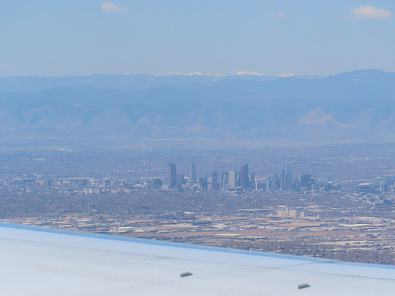
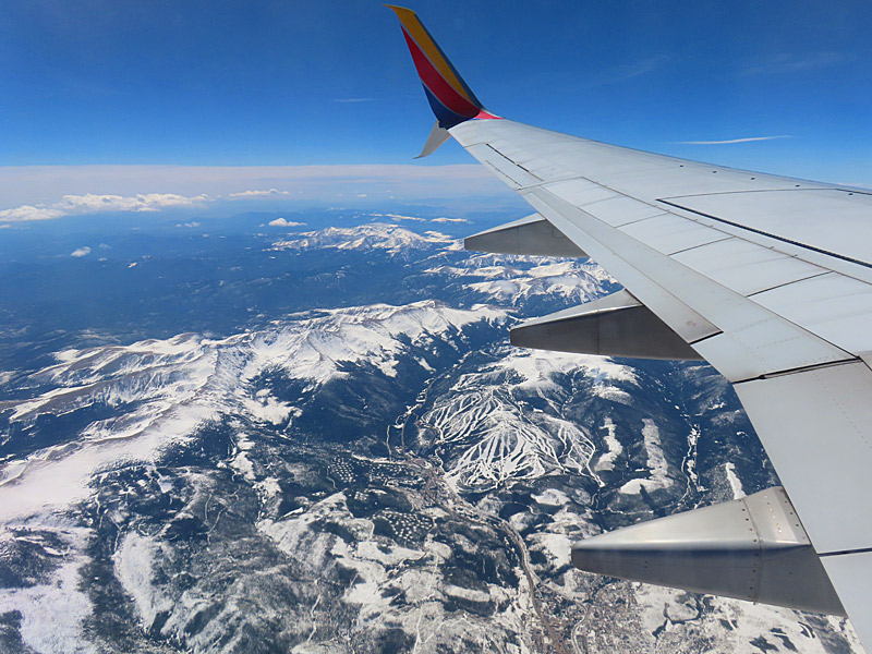
Wheels up in Denver as we take off for Salt Lake City. – photo by Joe AlexanderThe Denver airport is a major hub and it’s a relatively short flight from there to Salt Lake City, the second step of my road trip.
I actually got a better view of downtown Denver flying out of the airport there and heading northwest than I did on the flight into Denver coming from the south.
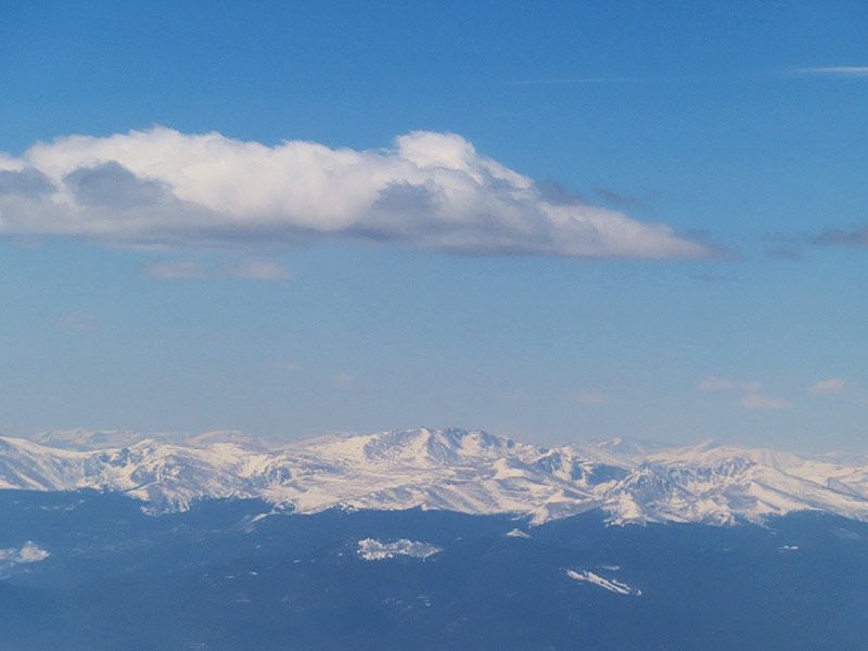
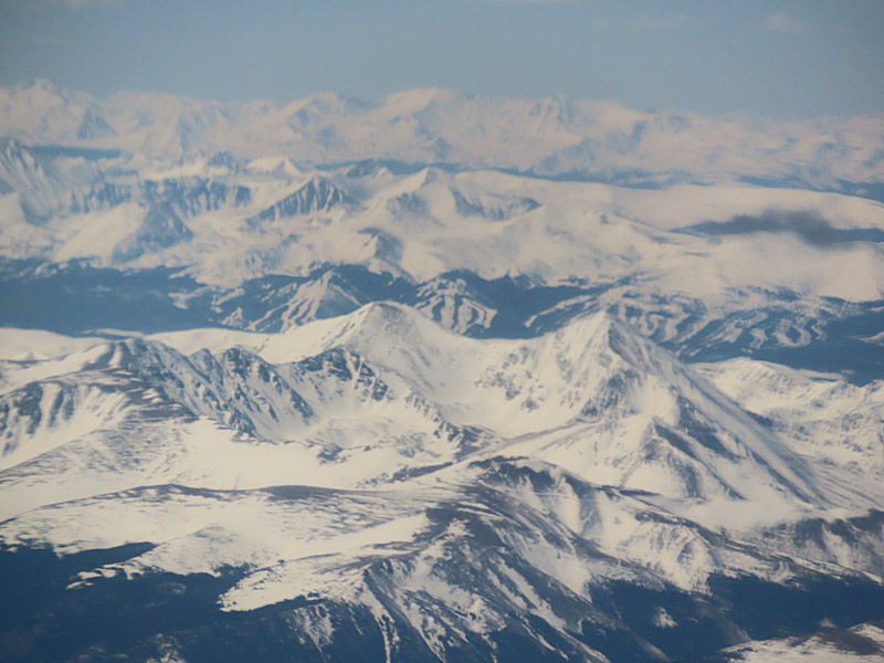
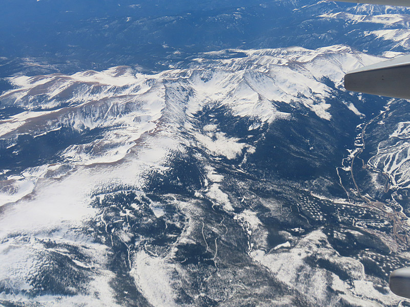
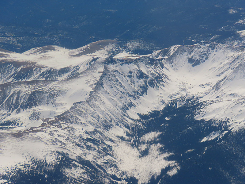
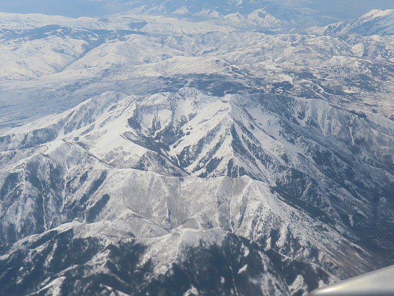
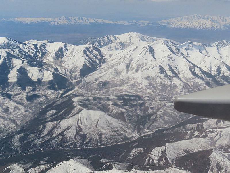
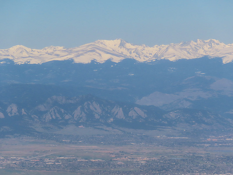
If you live in certain parts of the south and especially if you live near the coast, you might not get to see a lot of snow or mountains. Flying over the Rocky Mountains gives you a close-up view of both.
Rocky Mountains
Rocky Mountains
Rocky Mountains
Rocky Mountains
Rocky Mountains
Rocky Mountains
Flying over the Rocky Mountains on the way from Denver to Salt Lake City.
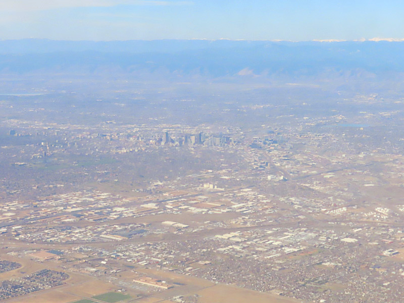
Approaching Denver’s airport, you can see how far it is away from the city. – photo by Joe AlexanderThere’s no quick way to get from my home town to southern Utah.
My trip got going with a morning flight into Denver, where I would change planes.
The relatively new Denver airport is actually a good distance east and a little north of town. Way off in the distance you can see the Rocky Mountains.
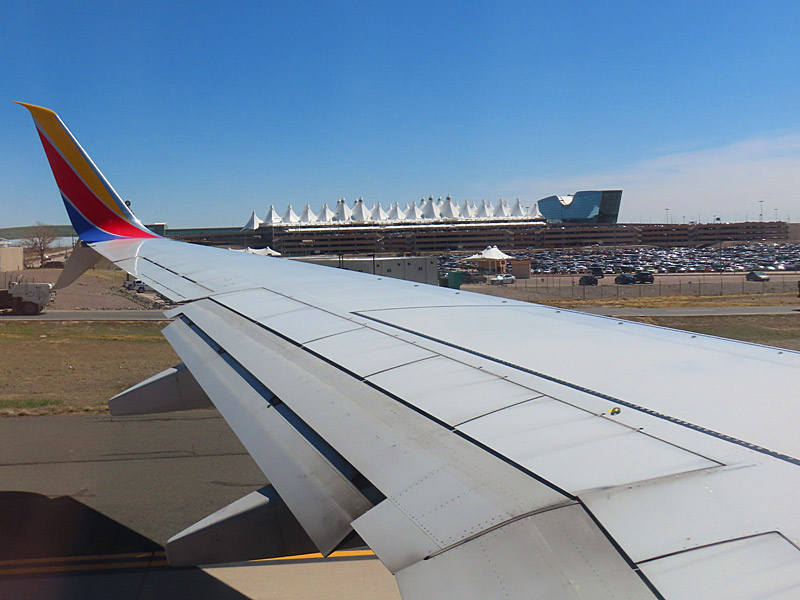
The Rocky Mountains are on the horizon west of the city as you fly into the Denver airport.The Denver airport main terminal is designed to look like mountain peaks as you land. – photo by Joe Alexander