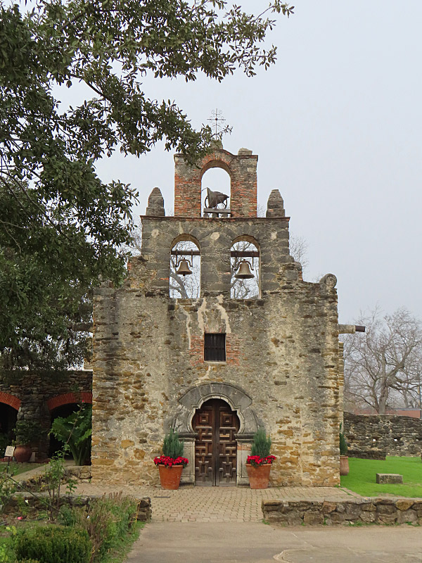
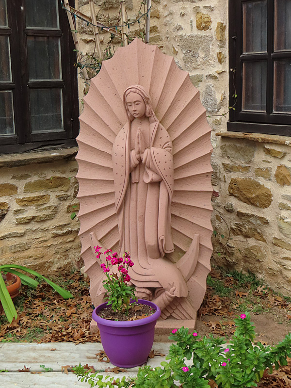
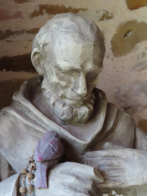
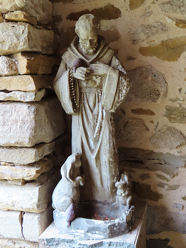
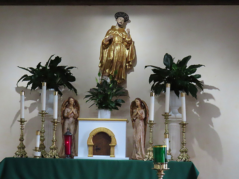
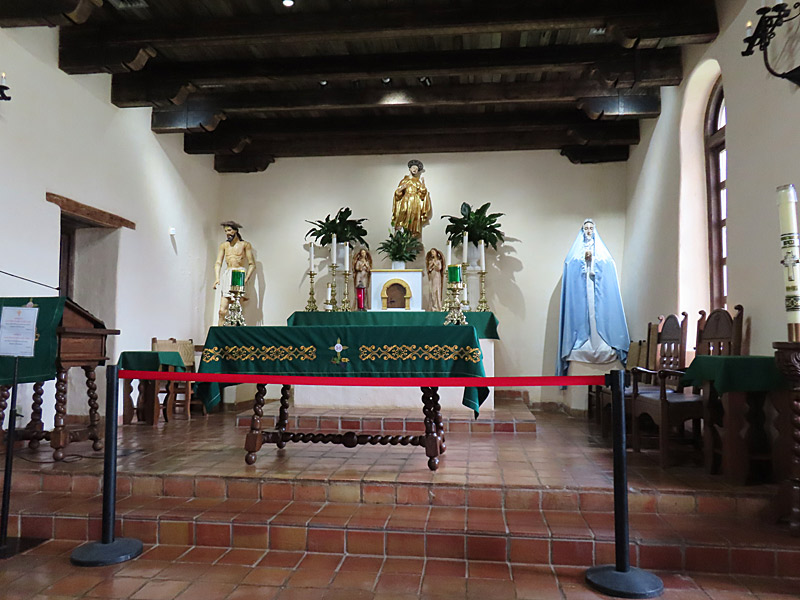
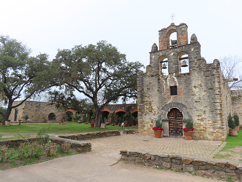
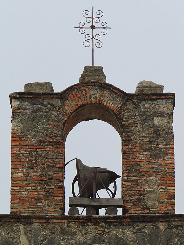
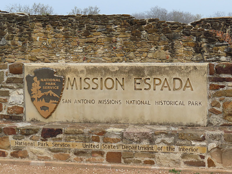
The missions of San Antonio, Texas, including Mission Espada, are a UNESCO World Heritage Site and part of the National Park Service. – photo by Joe AlexanderI stopped by Mission Espada on a cloudy, almost foggy morning in January.
Mission Espada on its current site in San Antonio was built beginning in 1745 and completed in 1756, according to the National Park Service.
The Mission is on San Antonio’s south side just outside Loop 410 on Espada Road (Roosevelt Road exit from Loop 410).
It is the farthest south of the missions in San Antonio and is about two miles from Mission San Juan.
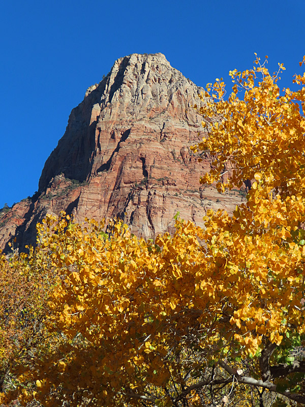
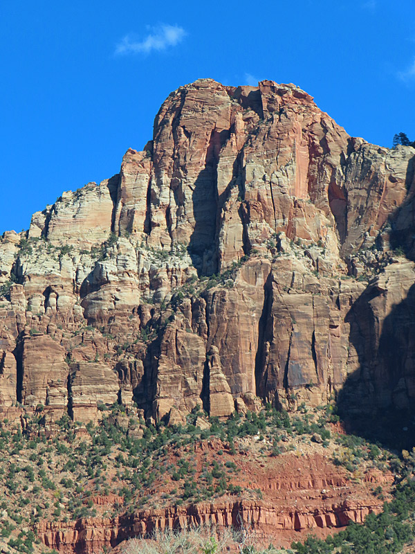
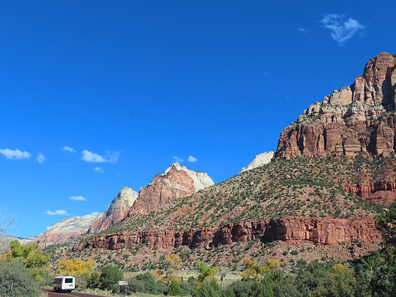
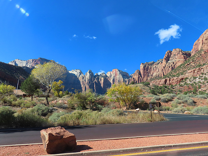
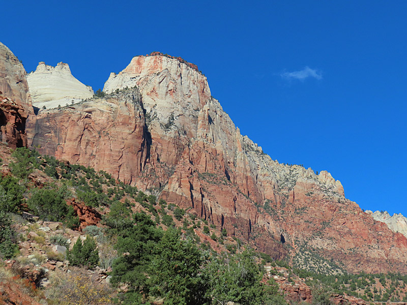
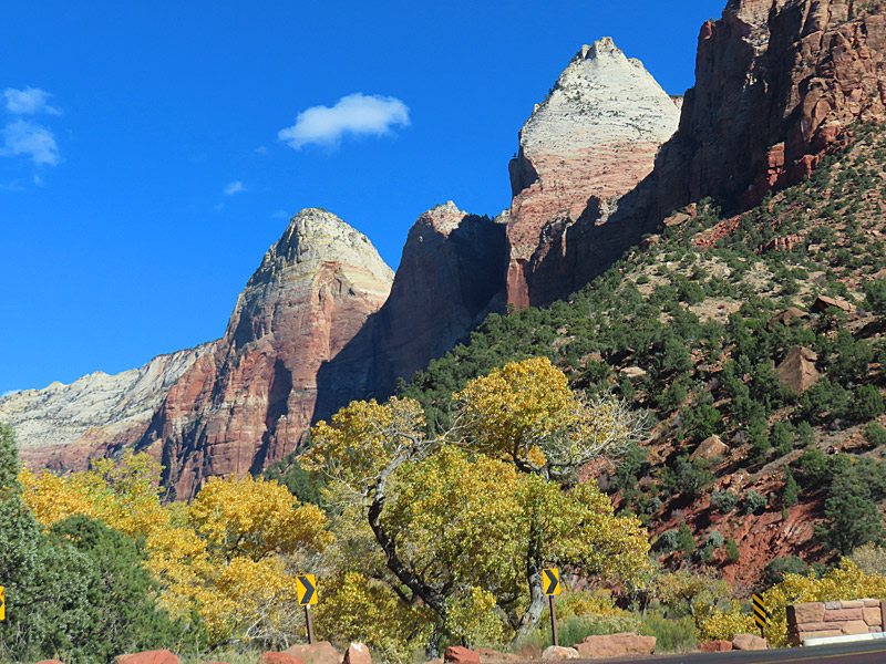
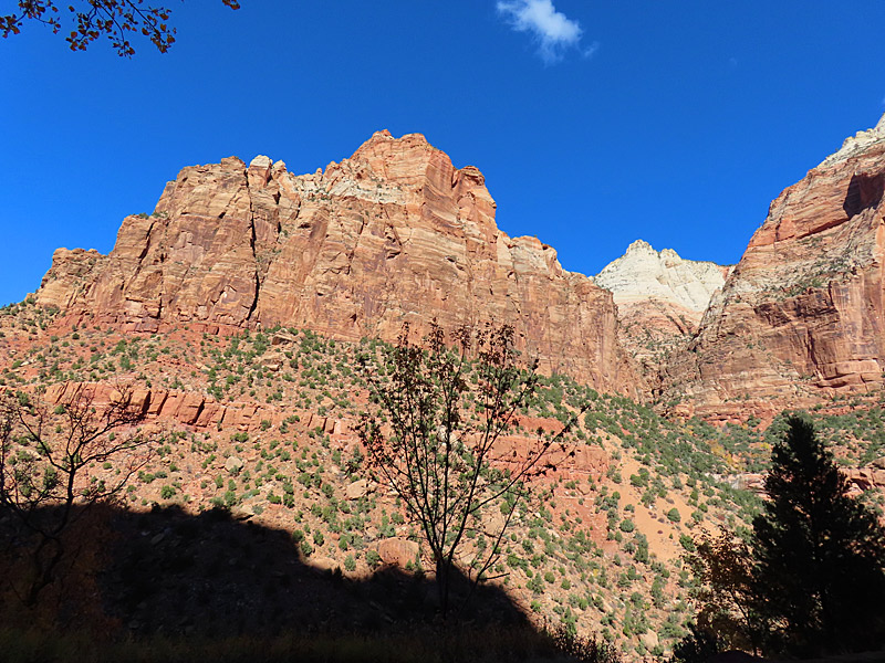
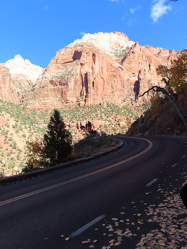
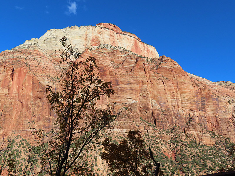
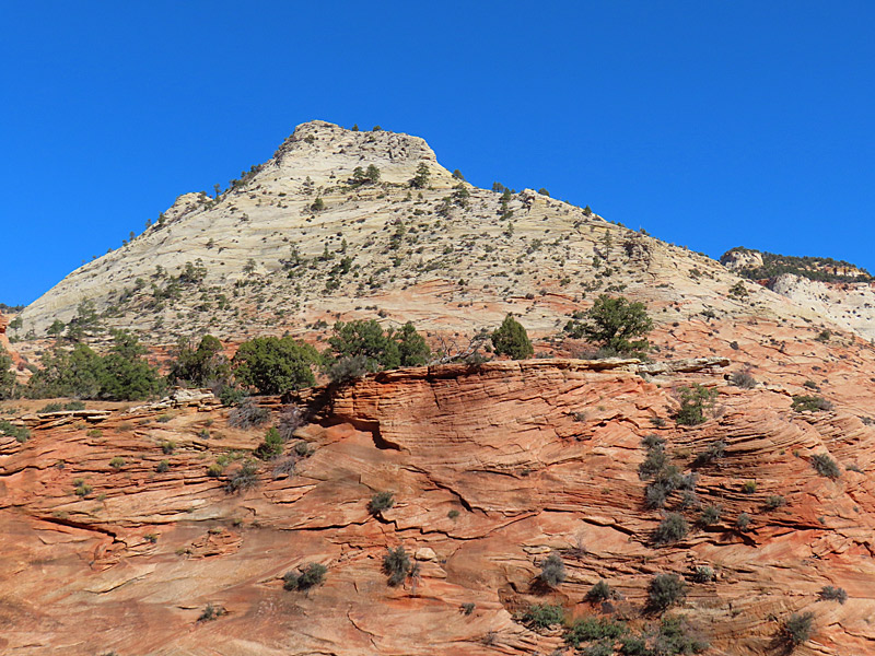
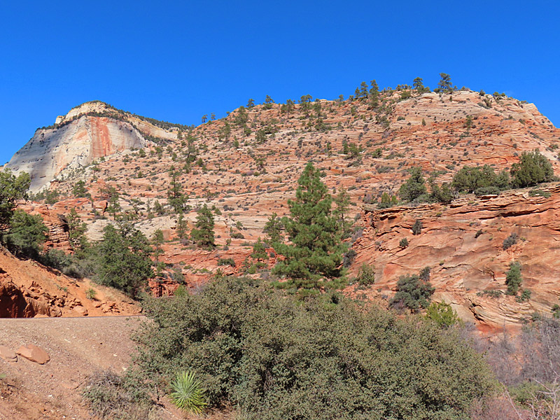
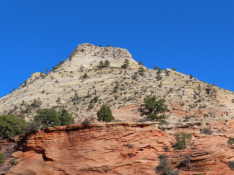
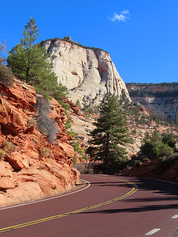
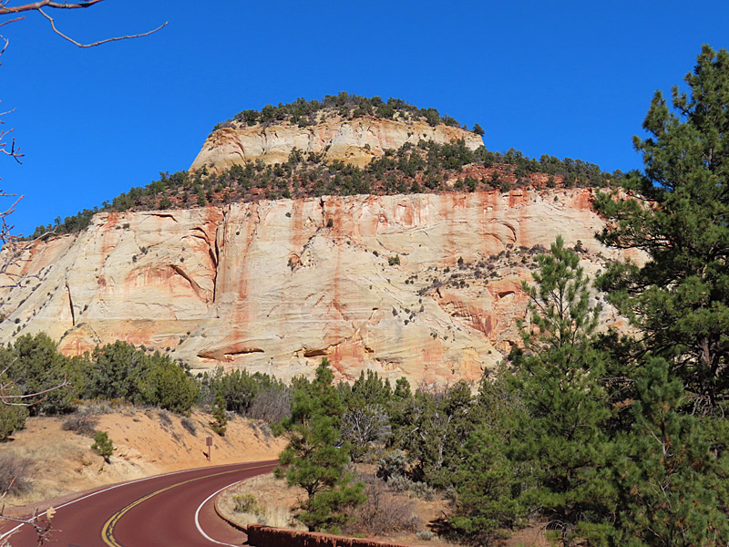
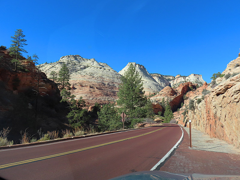
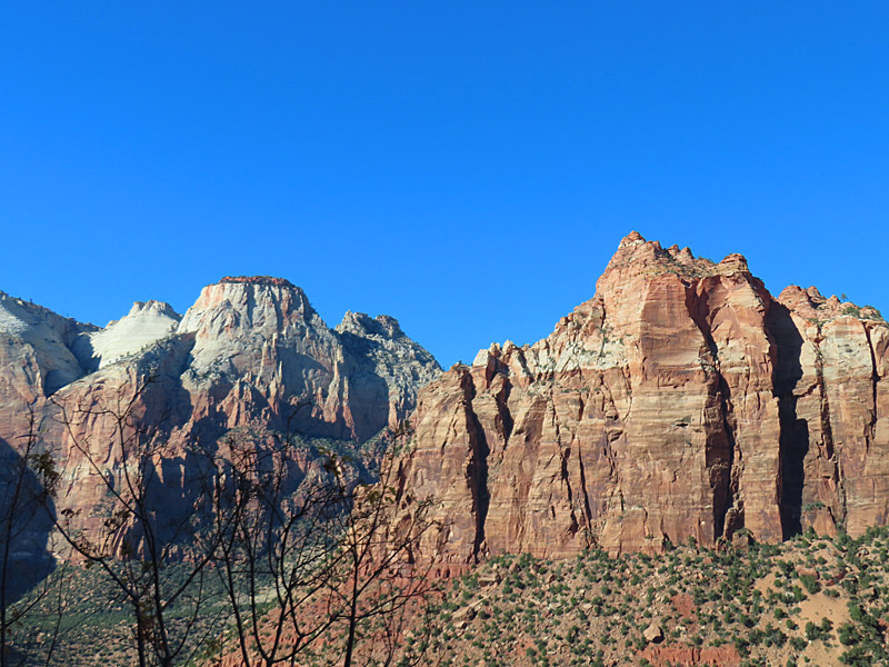
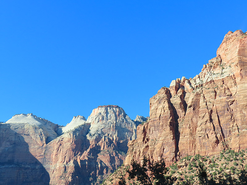
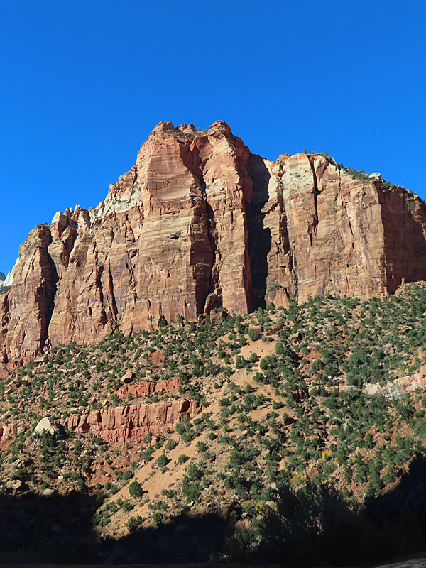
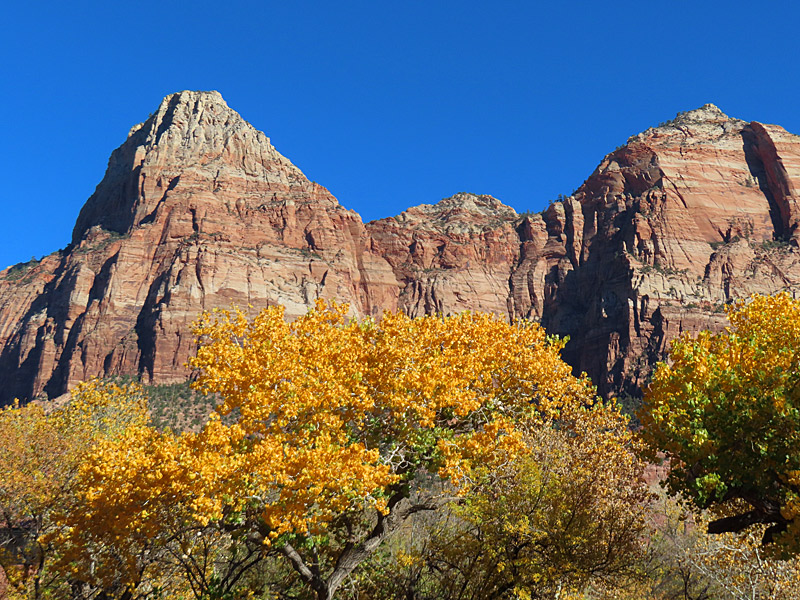
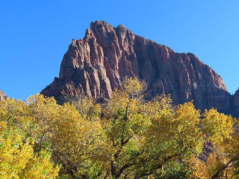
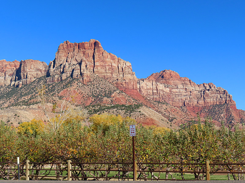
This is one of the first views you have from the Zion National Park visitor’s center near Springdale, Utah. – photo by Joe Alexander, all rights reservedI made it into southwestern Utah and Zion National Park the week before Thanksgiving.
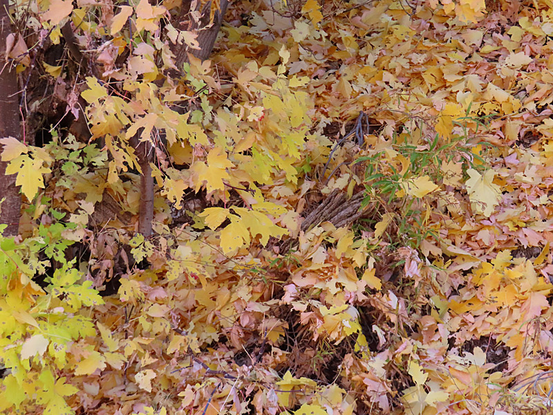
I was probably a week or two late to see the peak of the leaves changing colors, but there was still a lot of bright yellow in the trees. That made a vivid contrast to the red and tan striations of the rocky terrain in the park.
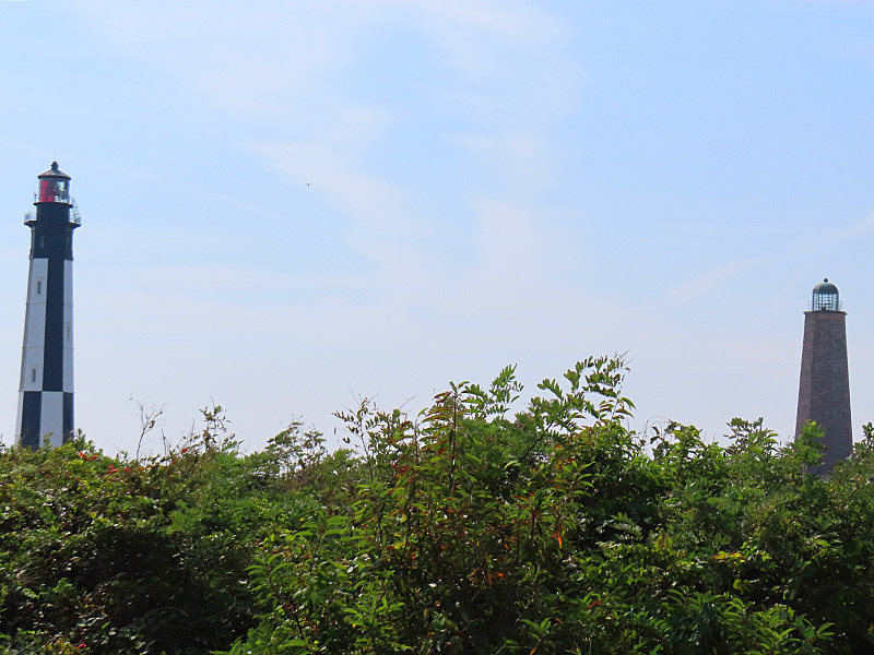
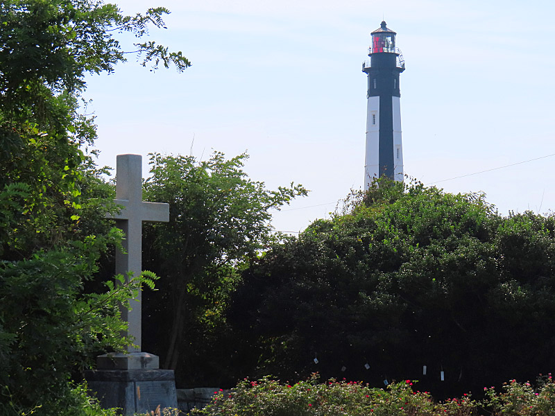
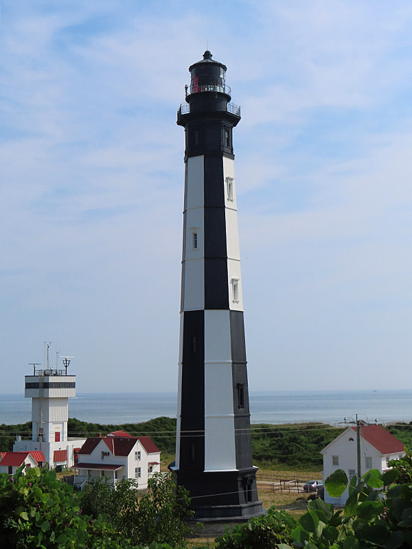
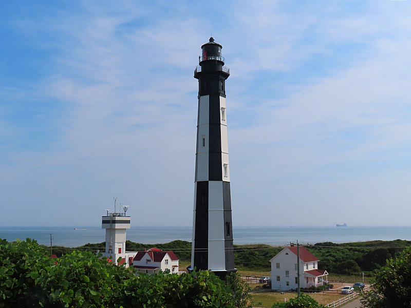
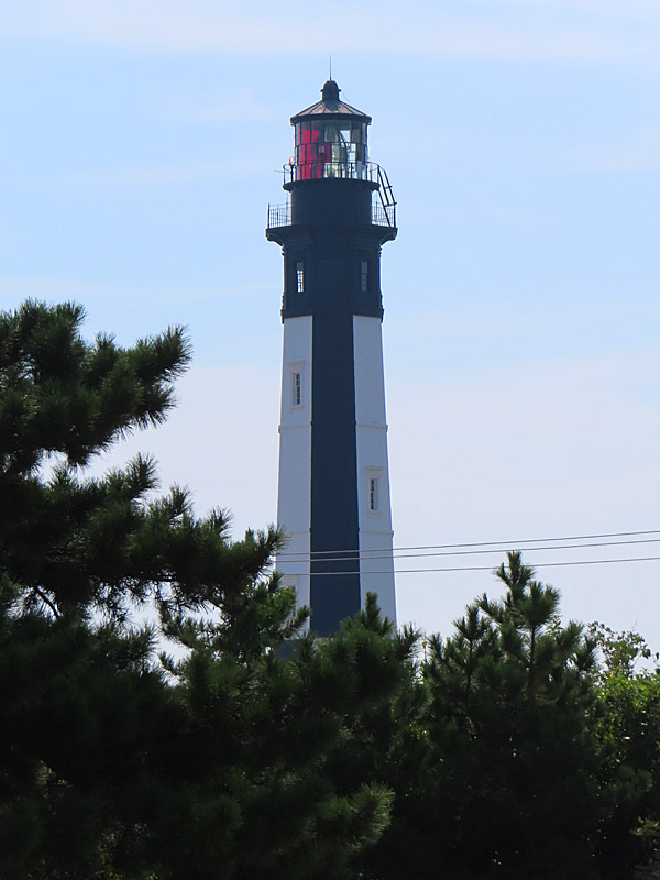
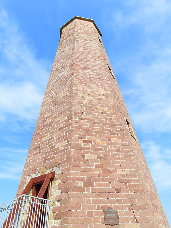
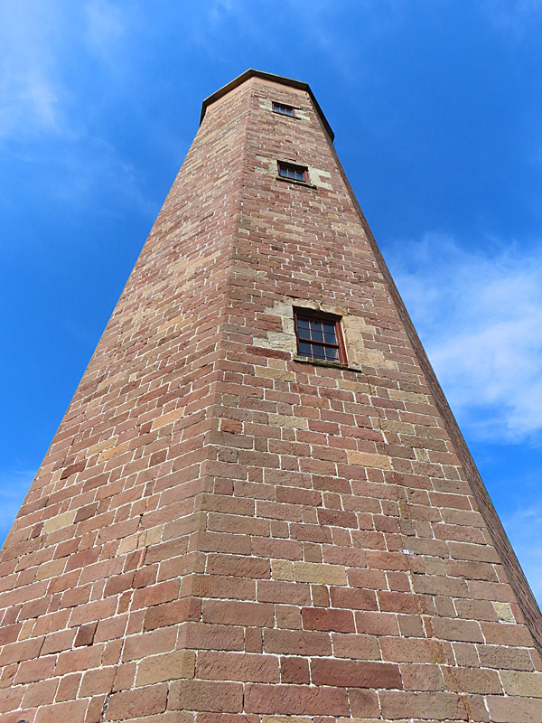
Cape Henry lighthouses at Fort Story in Virginia Beach. – photo by Joe AlexanderWhen you look for Cape Henry Lighthouse, the first thing you learn is that there are actually two.
Both are located at Fort Story, still an active military base, at the north end of Virginia Beach.
The older brick lighthouse was authorized by the United States government and dates to 1792 – just after the American Revolution.
The newer black and white lighthouse was built in 1881.
The older lighthouse is usually open to the public to climb up the stairs. It was closed the very hot September morning I visited because it was considered unsafe to climb the stairs in the extreme heat inside. Bummer.
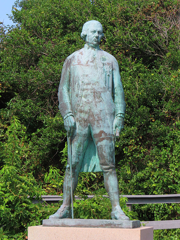
There is nearby statue honoring French admiral Francois Joseph Paul de Grasse – who engaged the British fleet in 1781 to help the American cause in the Revolutionary War.
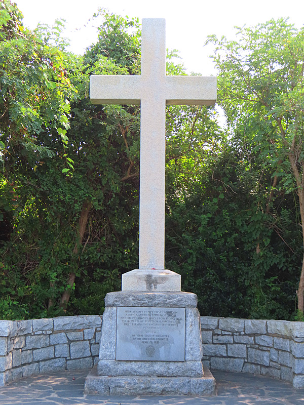
Also on the grounds is the First Landing Cross to commemorate site of the first English settlers from the London Company in 1607.
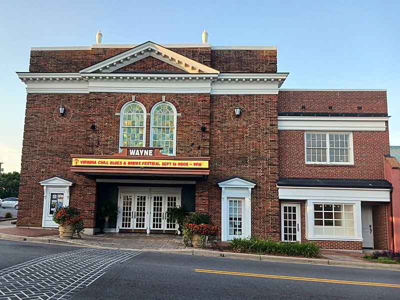
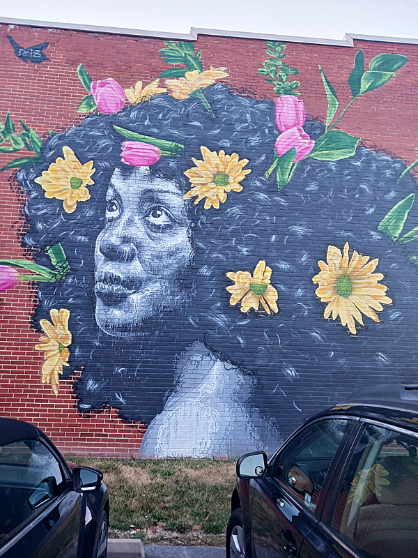
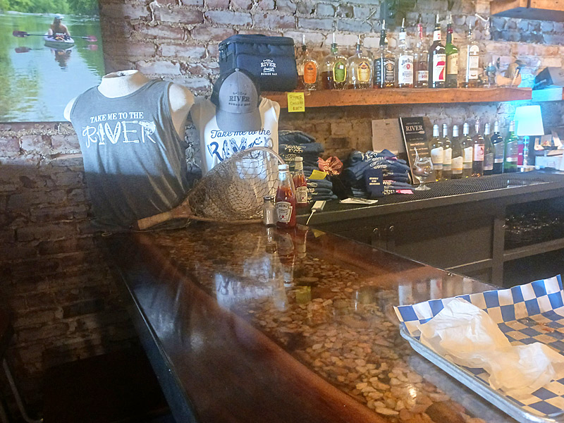
Outdoor mural near Main Street in Waynesboro, Virginia. – photo by Joe AlexanderThe southern end of Skyline Drive through Shenandoah National Park exits near Waynesboro, Virginia.
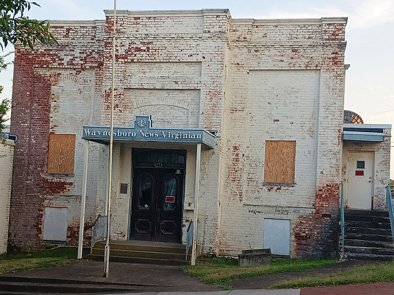
When I visit a city for the first time, I usually look for public art, interesting buildings and food – not always in that order. In Waynesboro I found both within walking distance of my hotel.
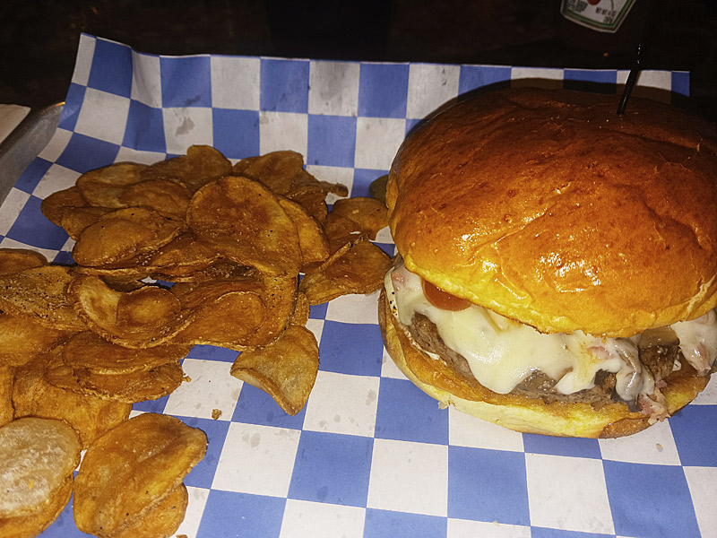
At The River Burger Bar, I ordered the excellent “The Fun Guy” – an angus burger with sauteed mushrooms, grilled onions, bacon pieces, Swiss cheese and herb mayo. I also had a beer I had never seen before called “Ruby Red,” which went well with the burger.
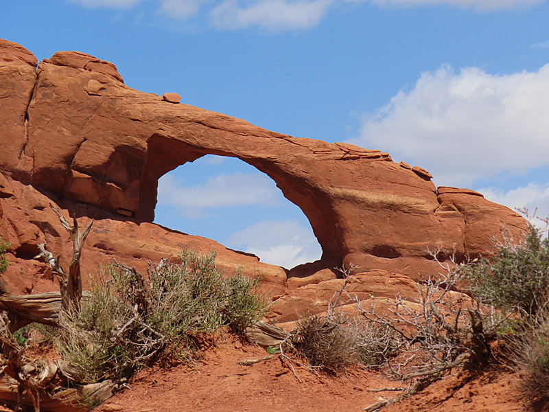
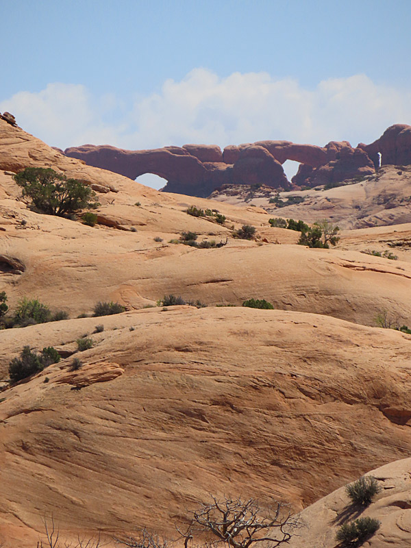
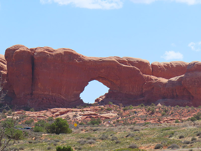
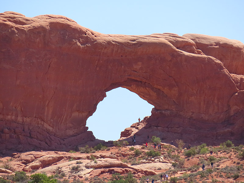
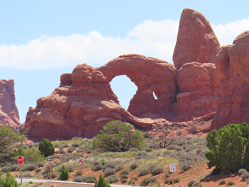
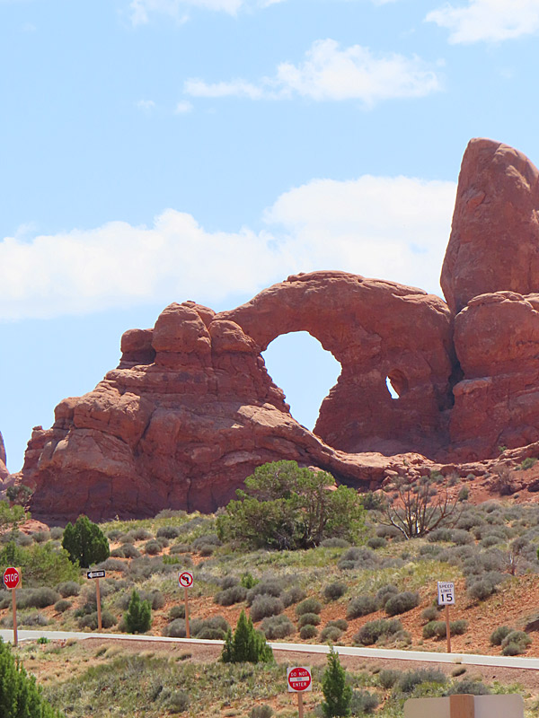
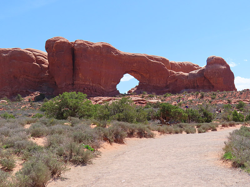
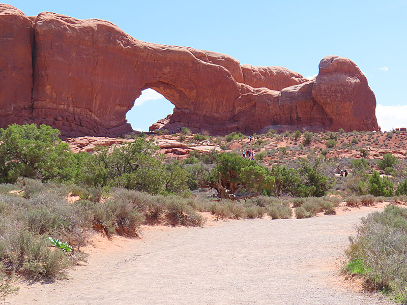
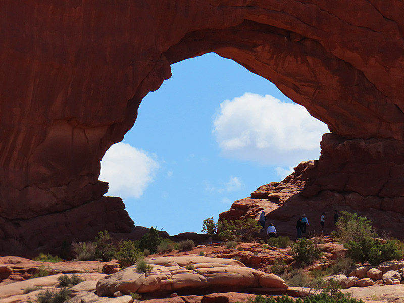
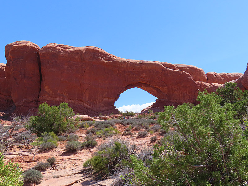
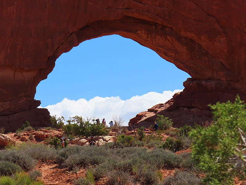
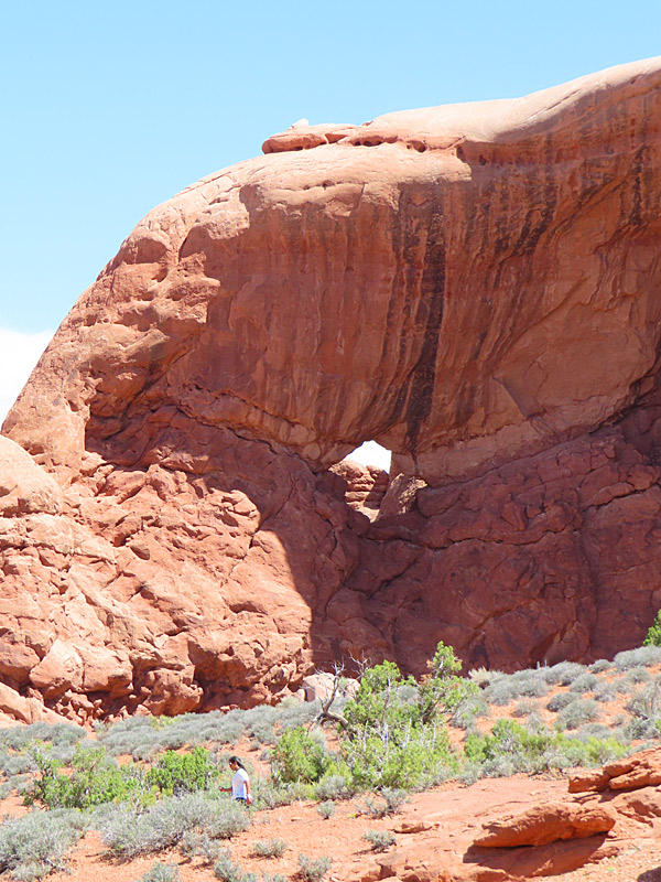
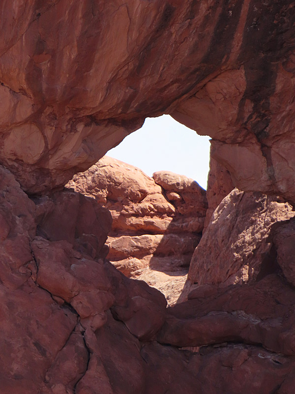
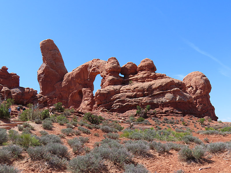
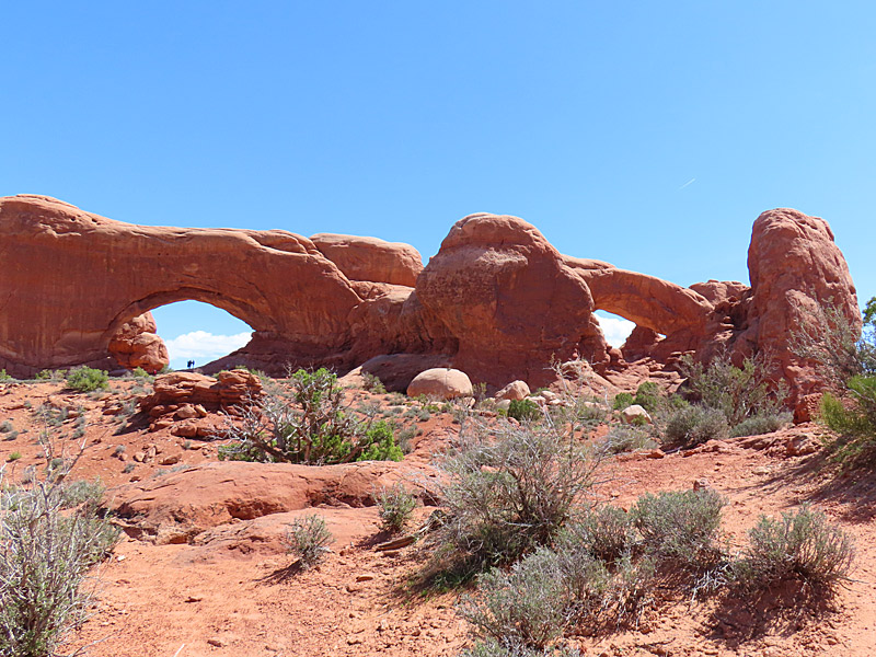
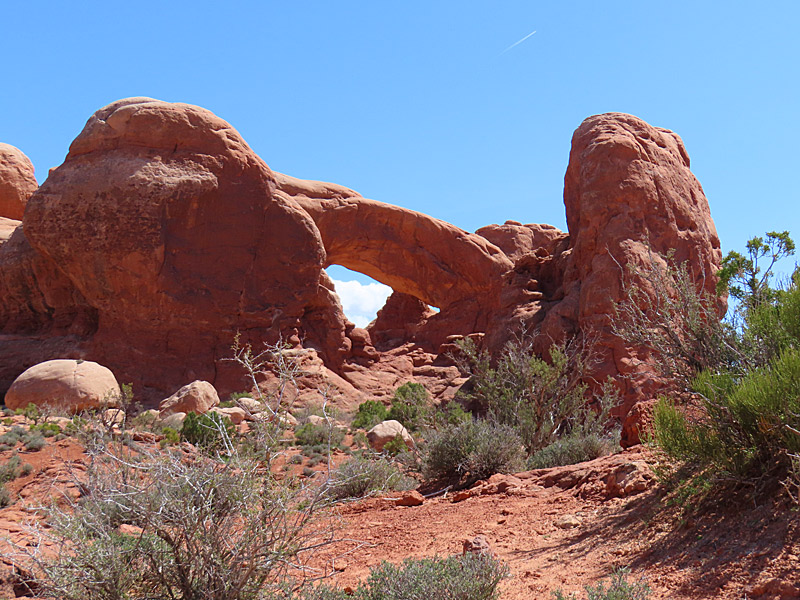
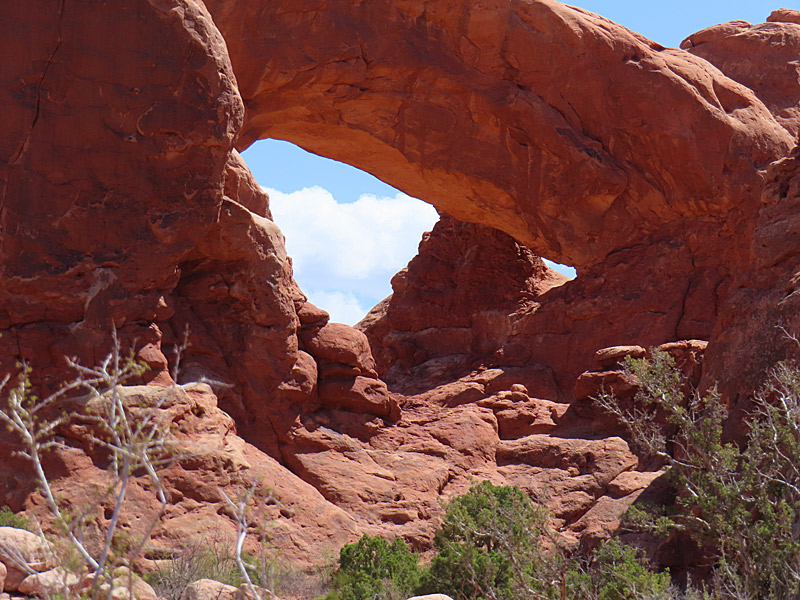
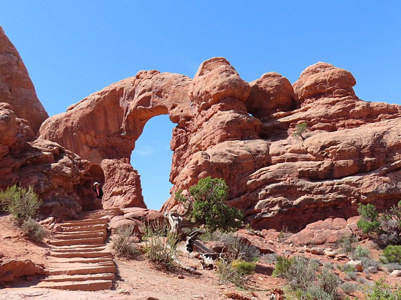
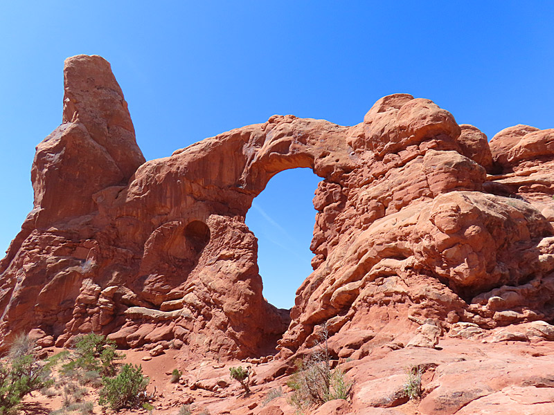
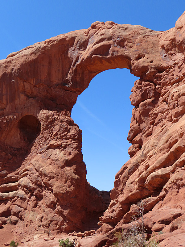
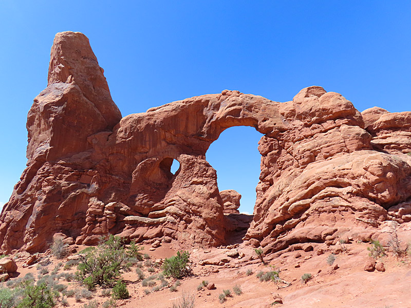
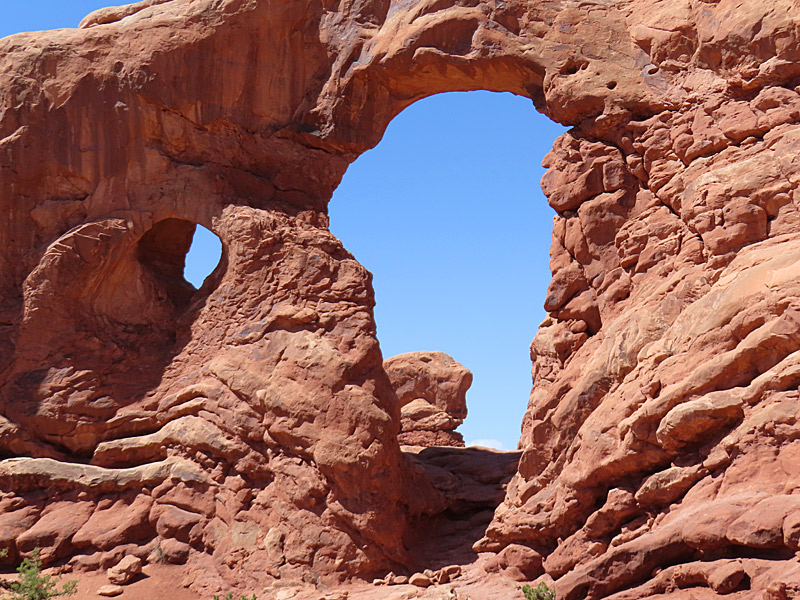
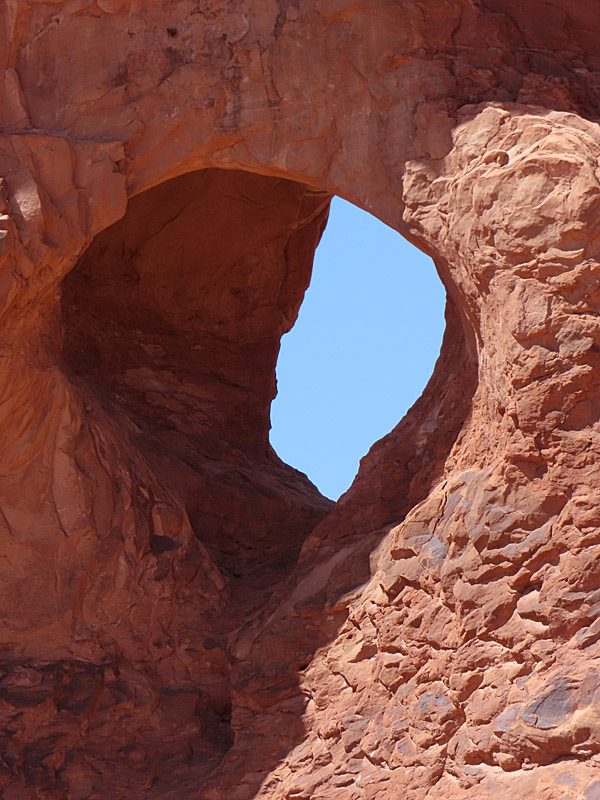
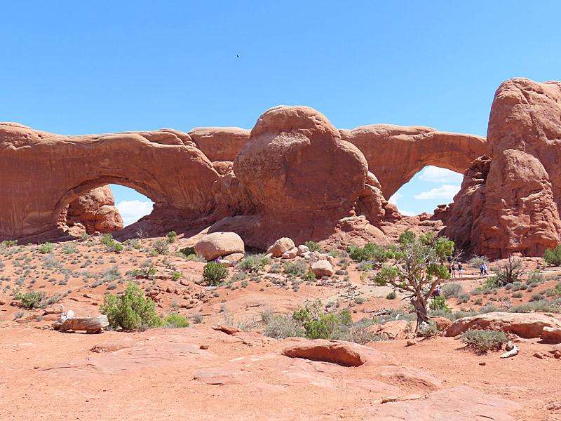
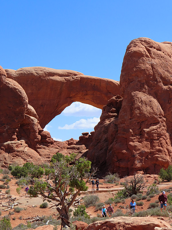
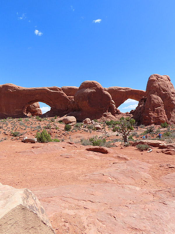
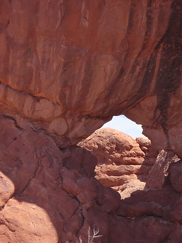
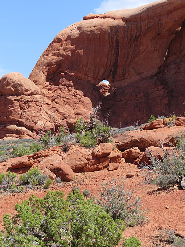
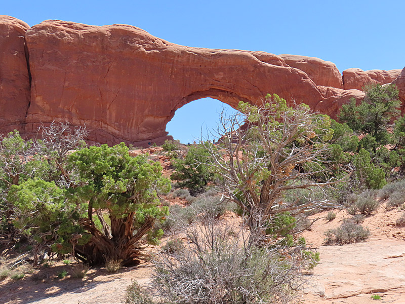
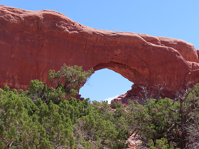
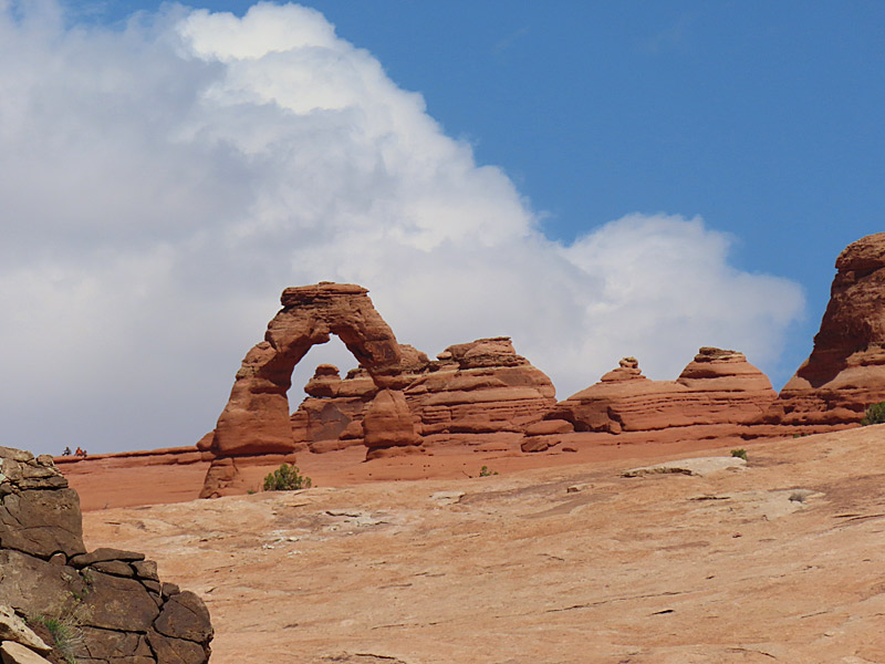
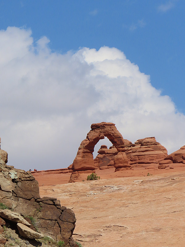
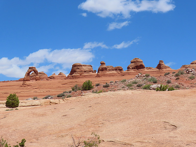
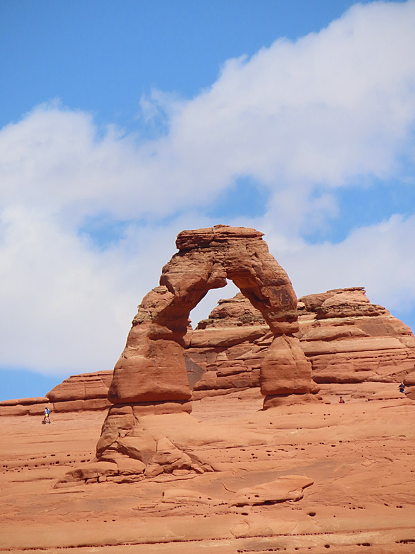
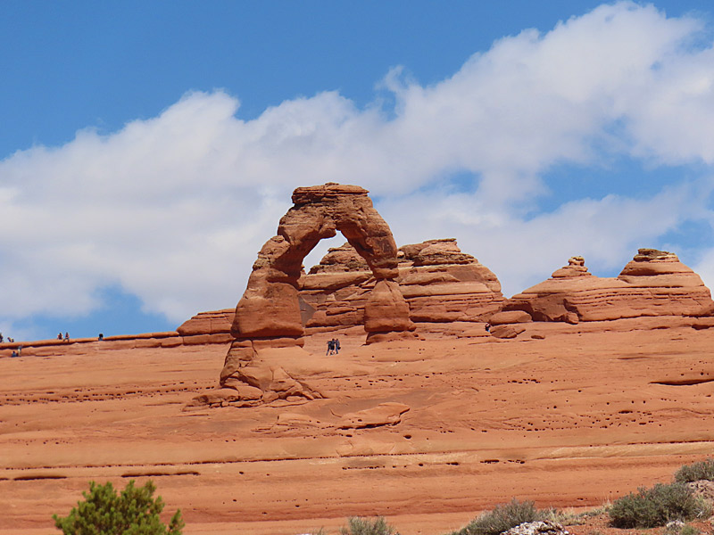
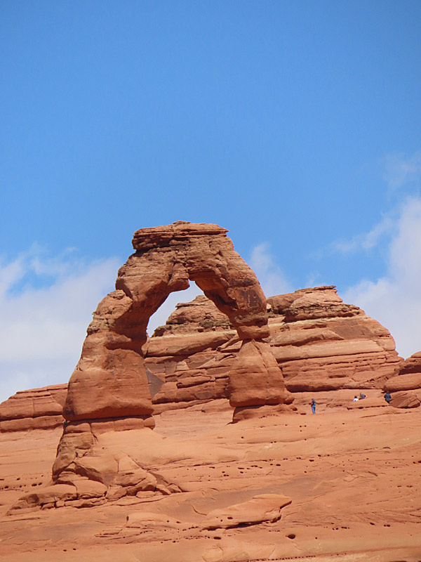
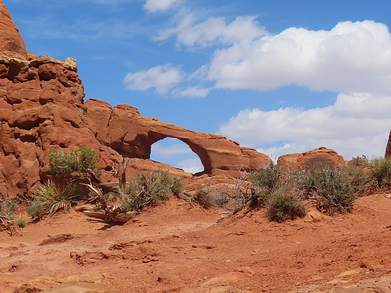
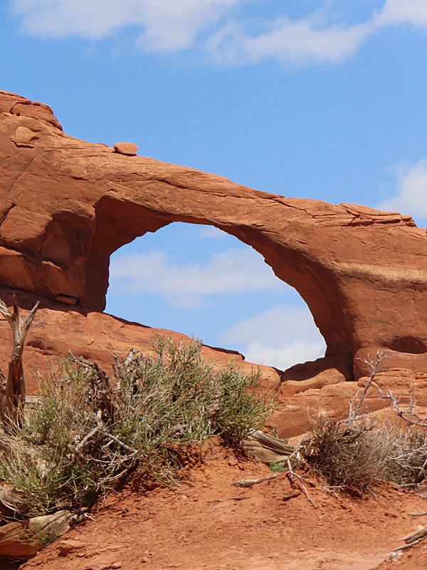
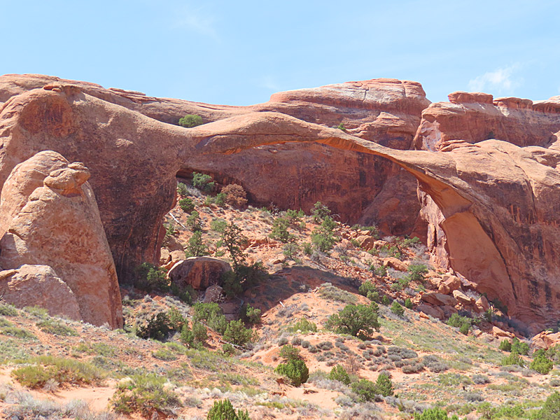
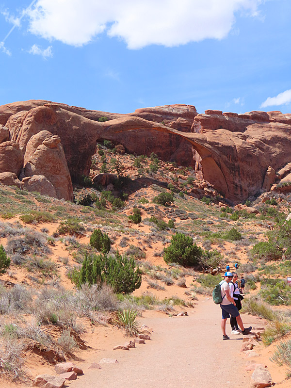
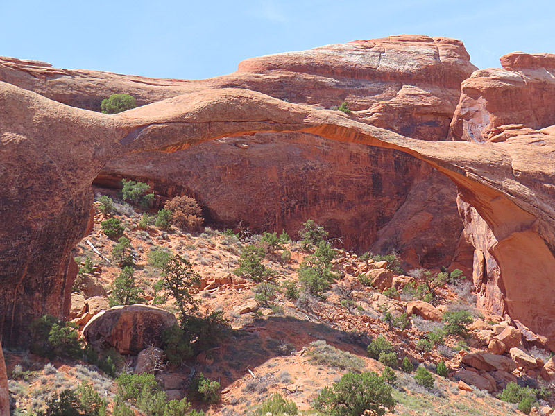
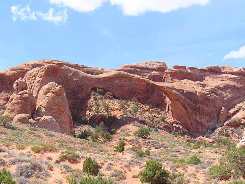
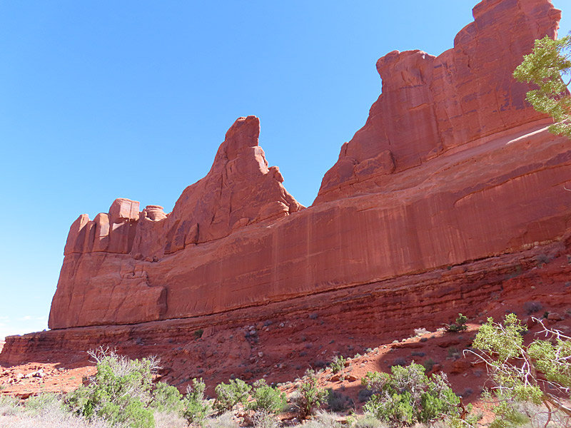
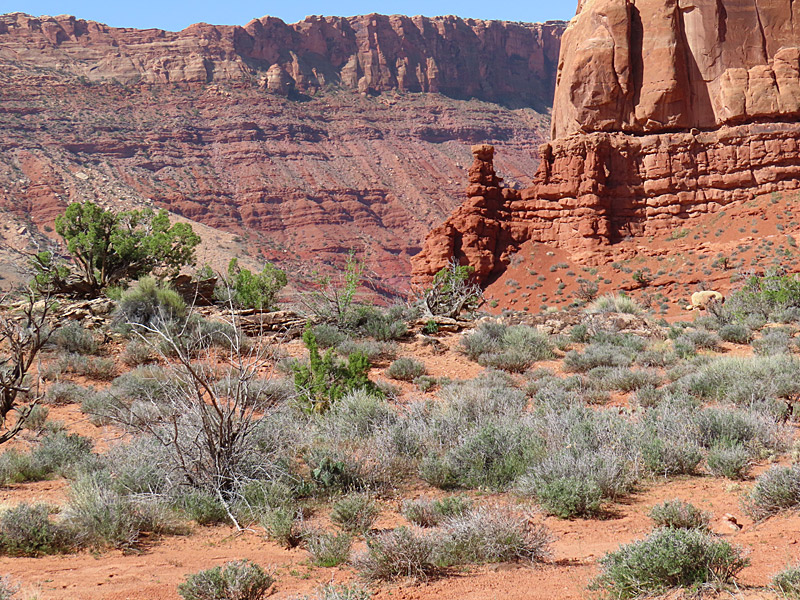
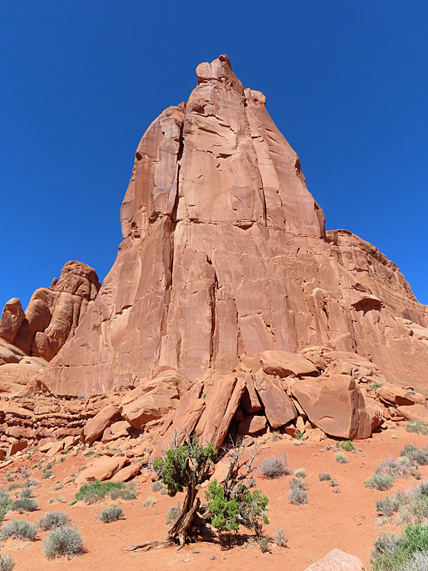
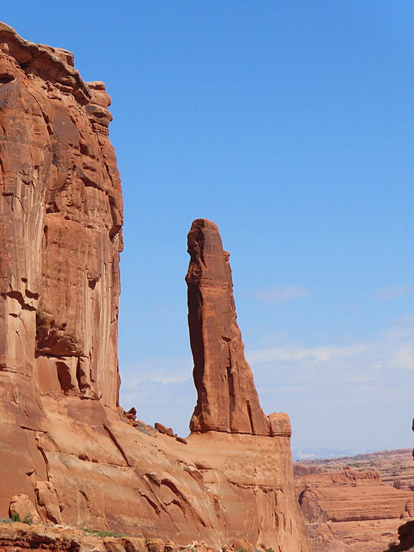
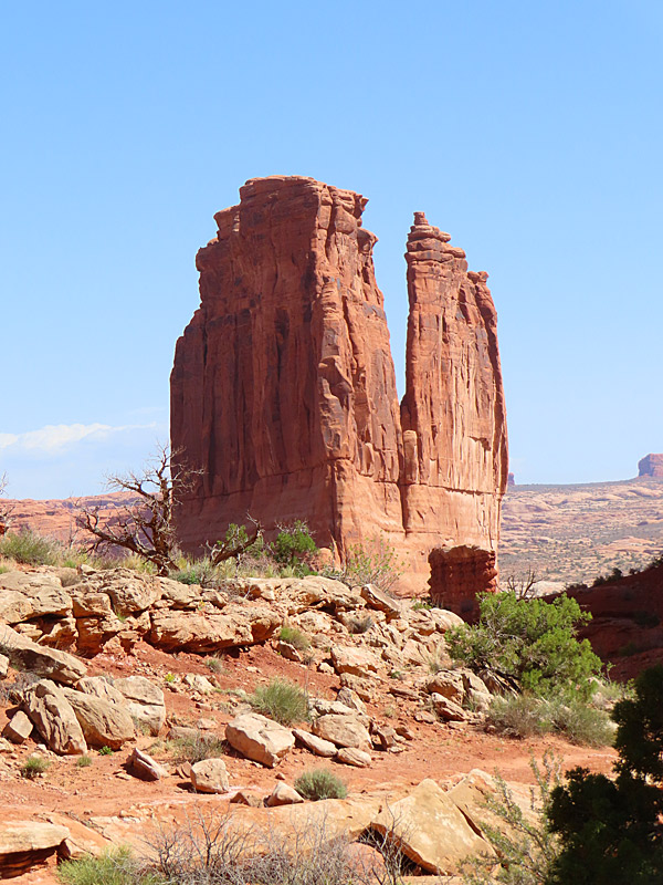
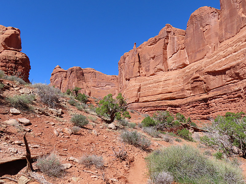
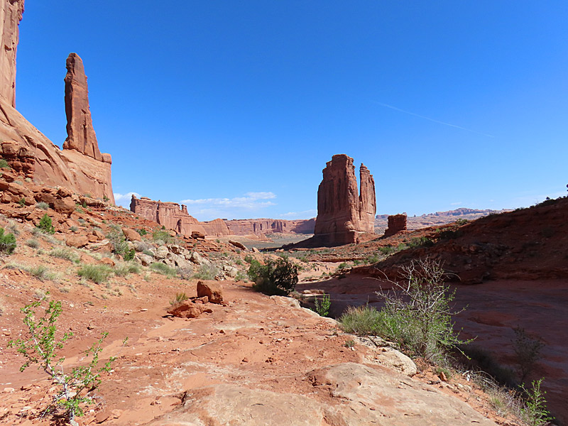
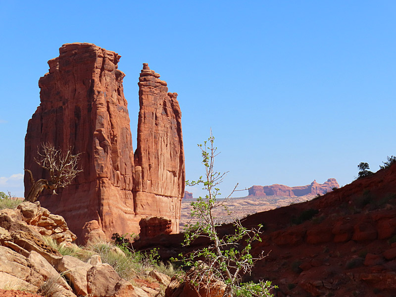
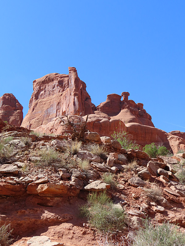
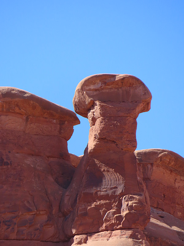
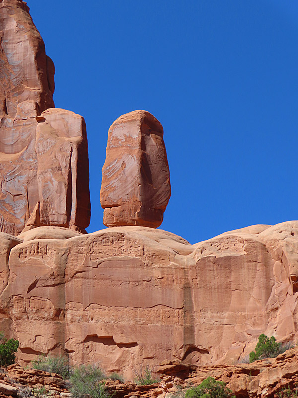
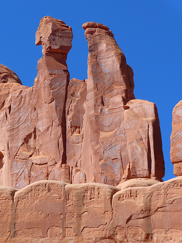
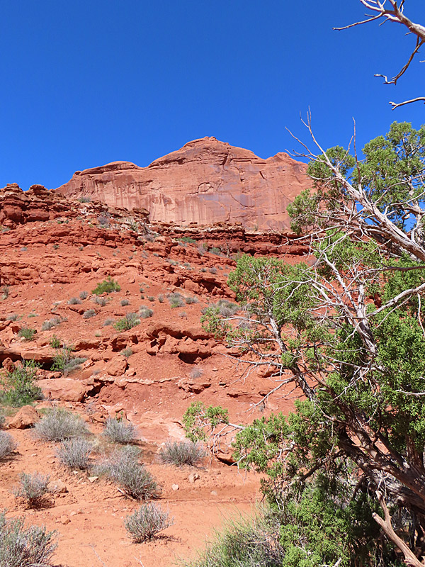
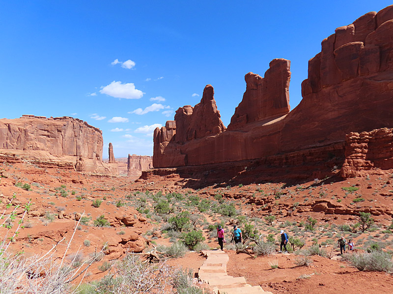
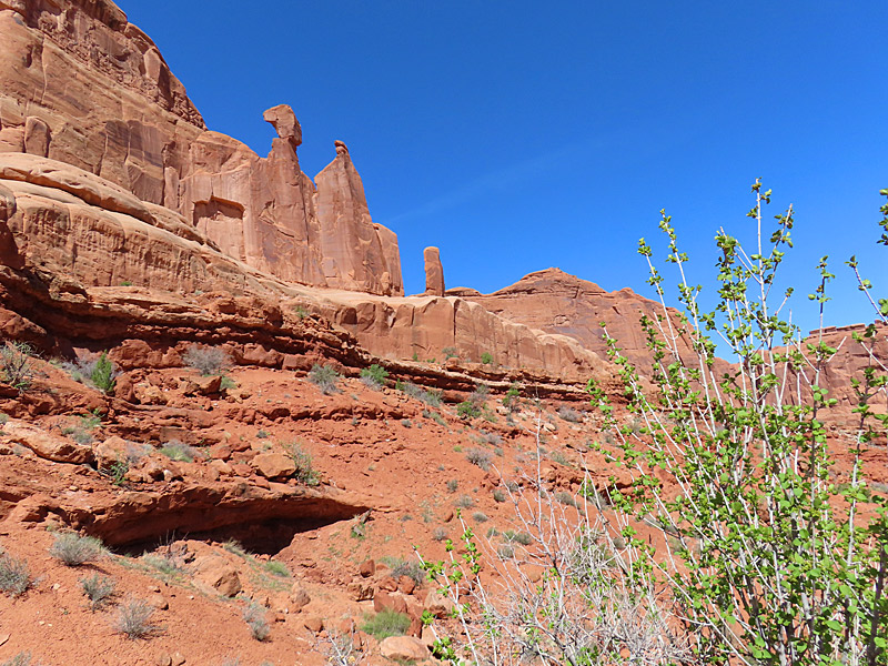
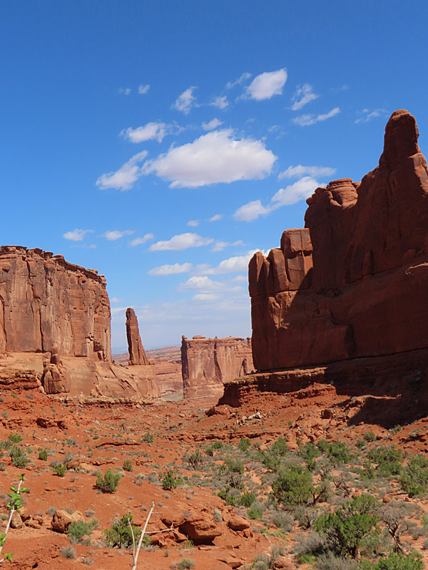
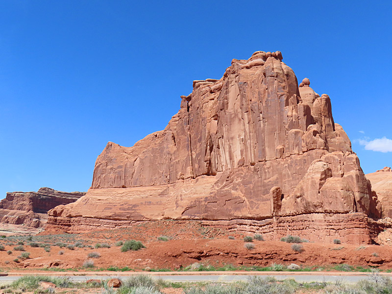
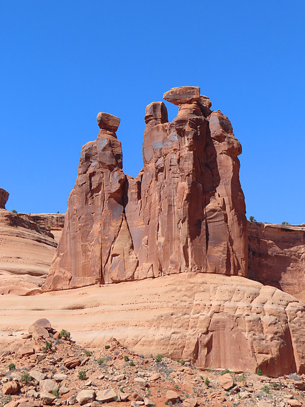
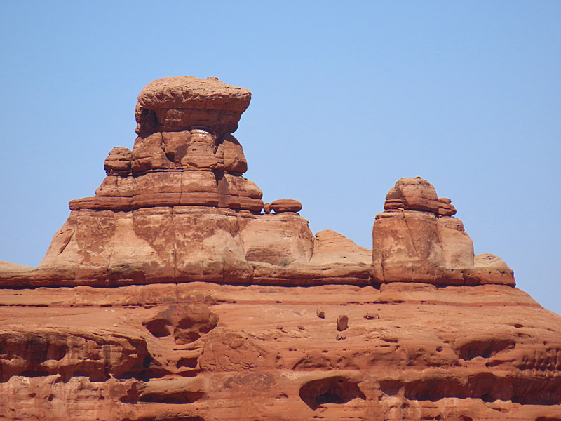
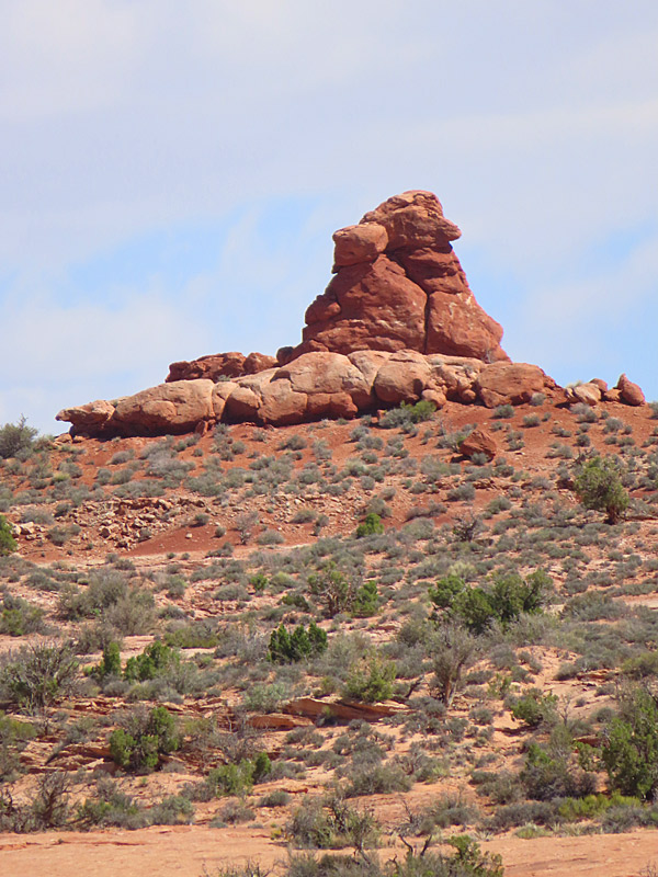
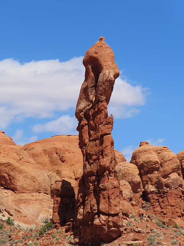
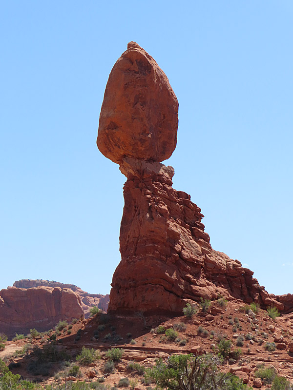
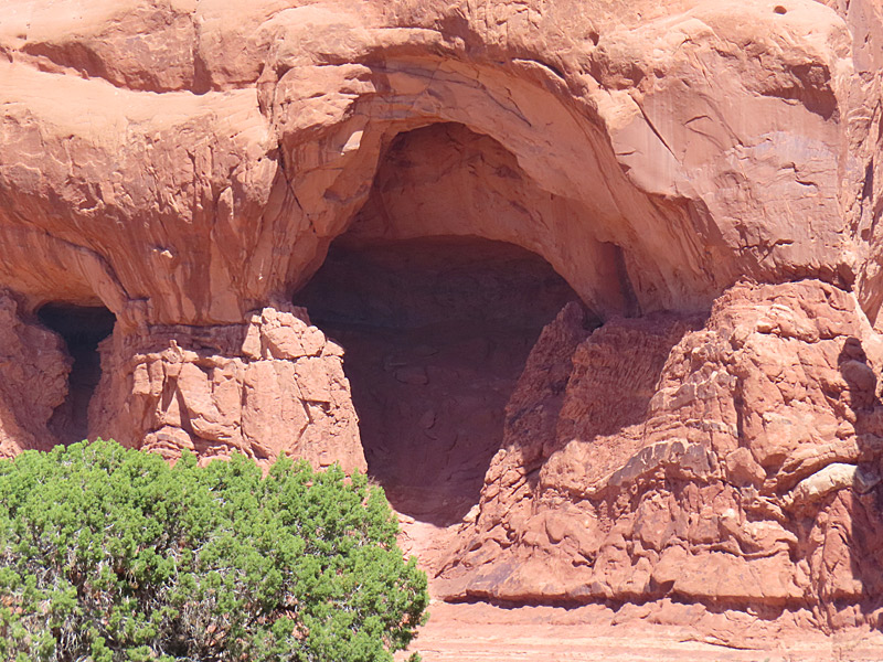
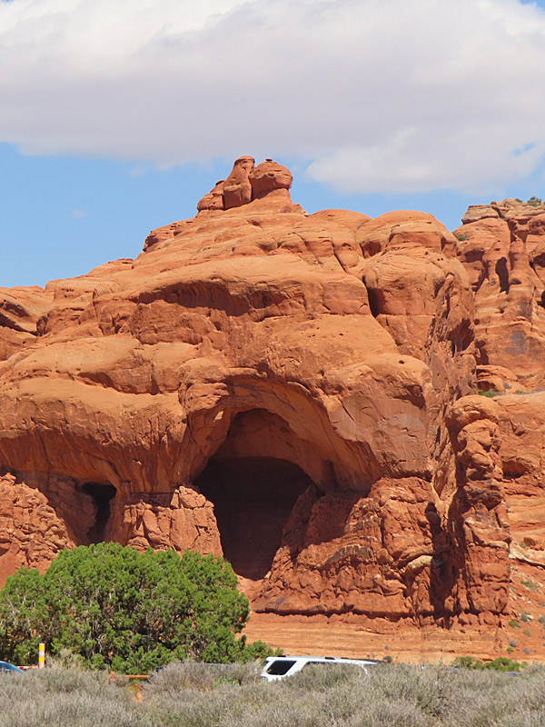
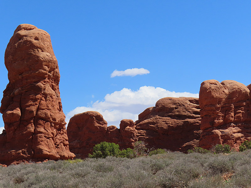
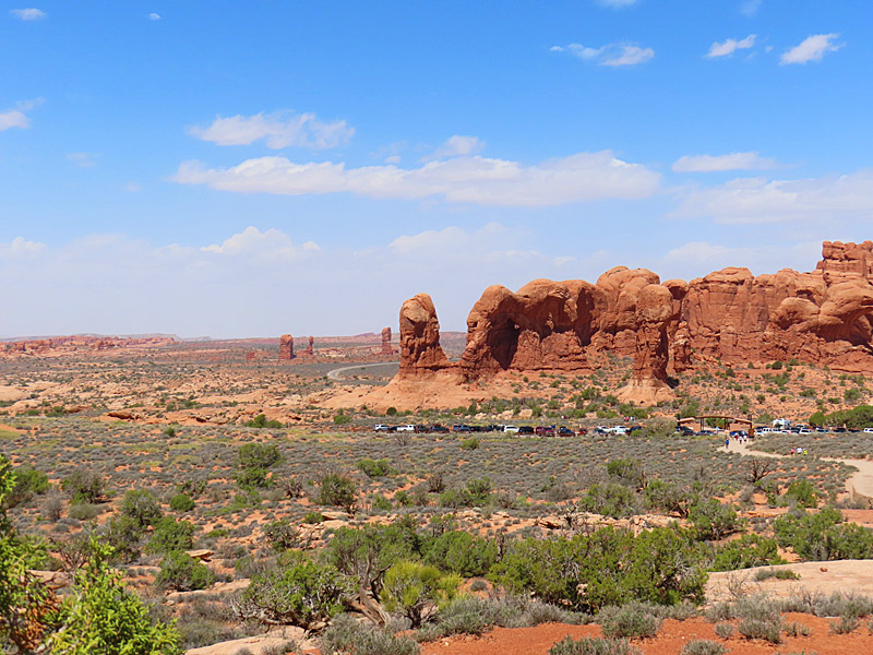
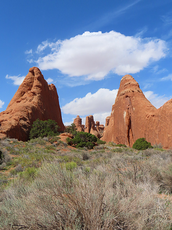
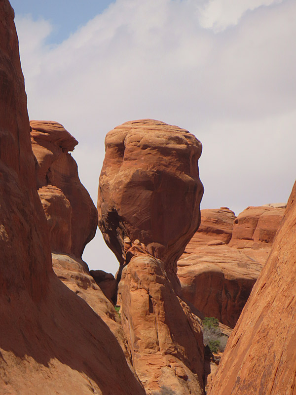
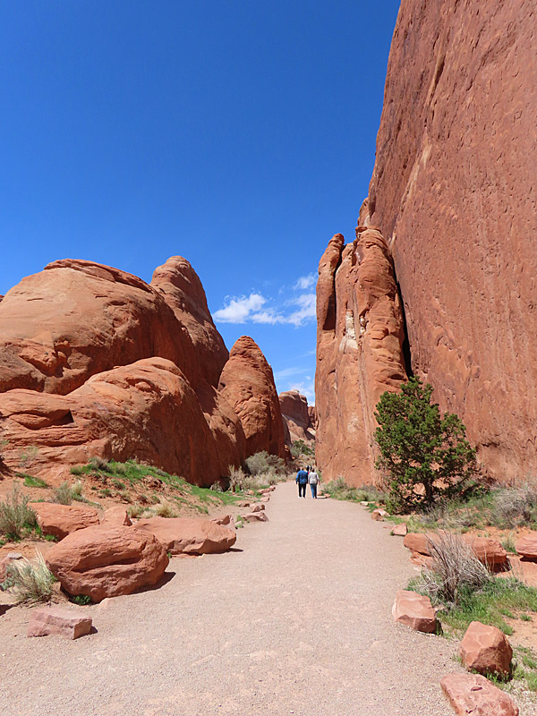
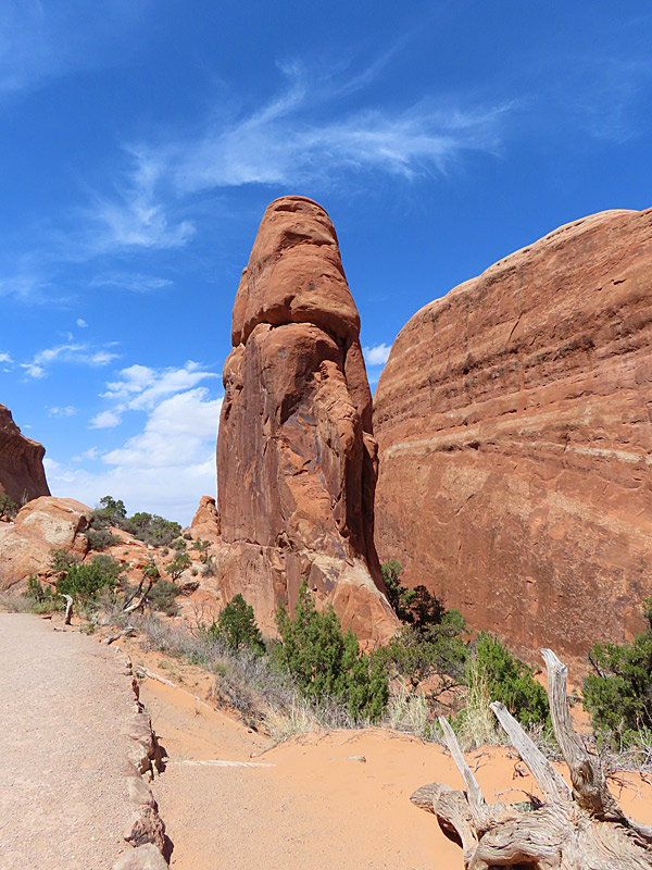
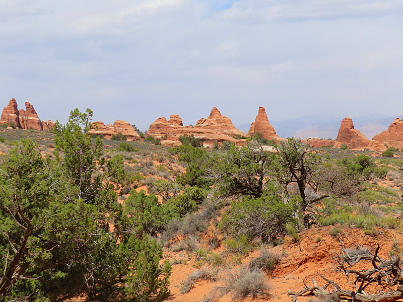
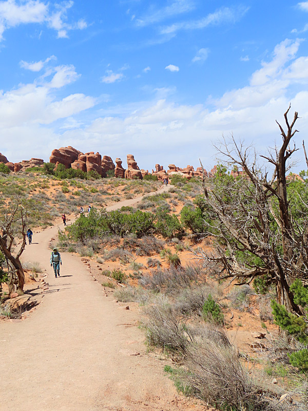
Arches National Park in southern Utah in April, 2023. – photo by Joe AlexanderPeople flock to Arches National Park for the red rocks, blue skies and most of all for the namesake arches.
Be aware that from April 1 to October 31, 2023, you need a reservation in the form of a Timed Entry Ticket. More information on that here:
Official site: Arches: National Park Service
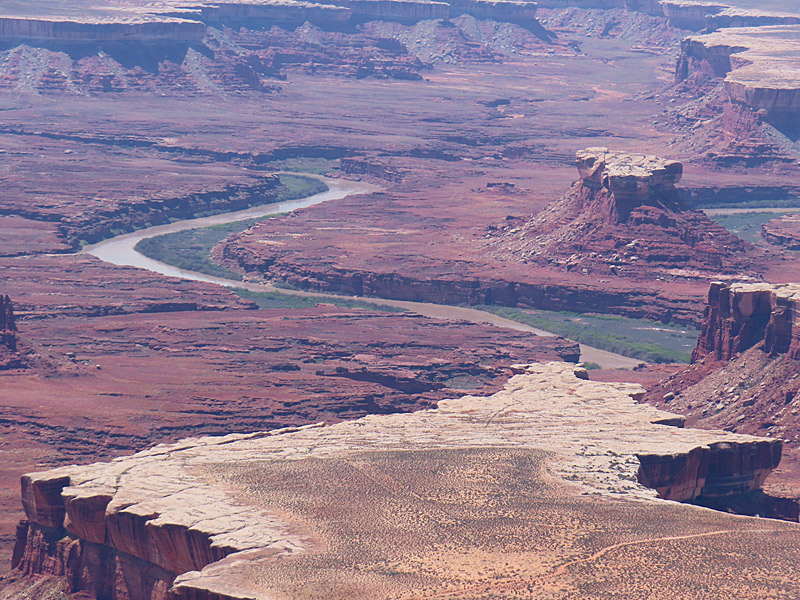
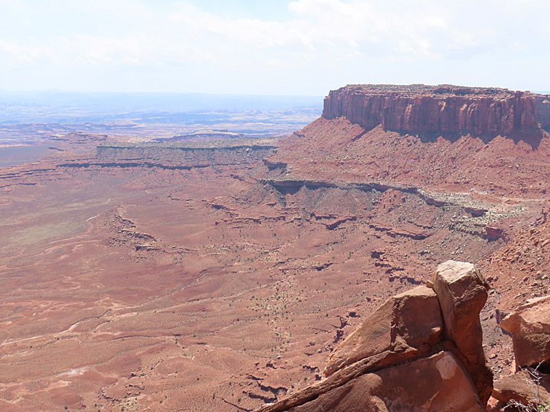
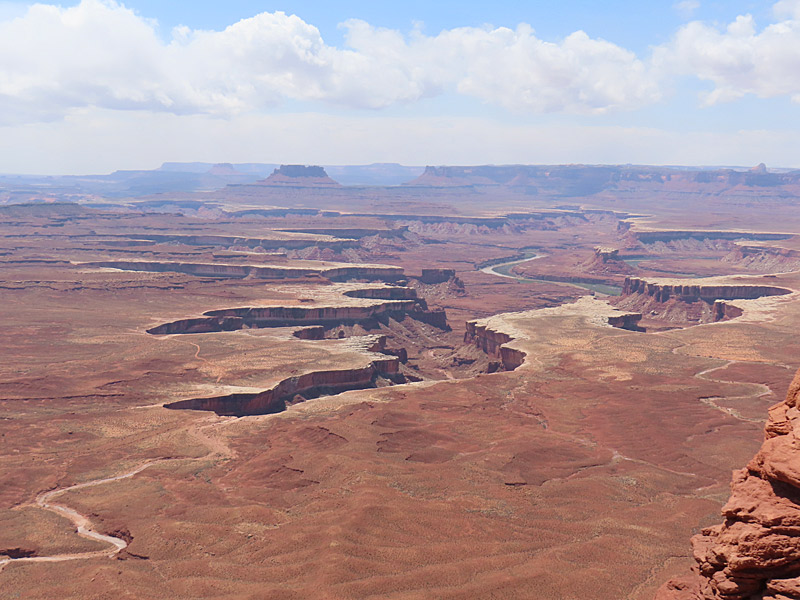
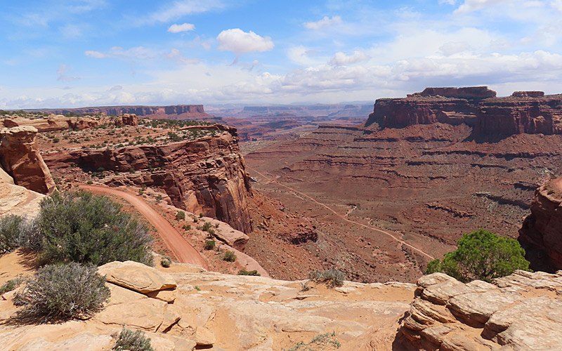
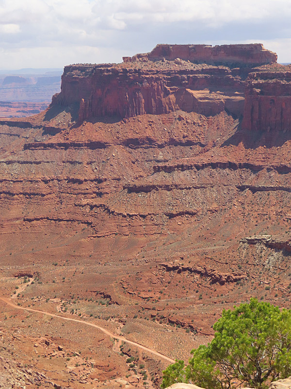
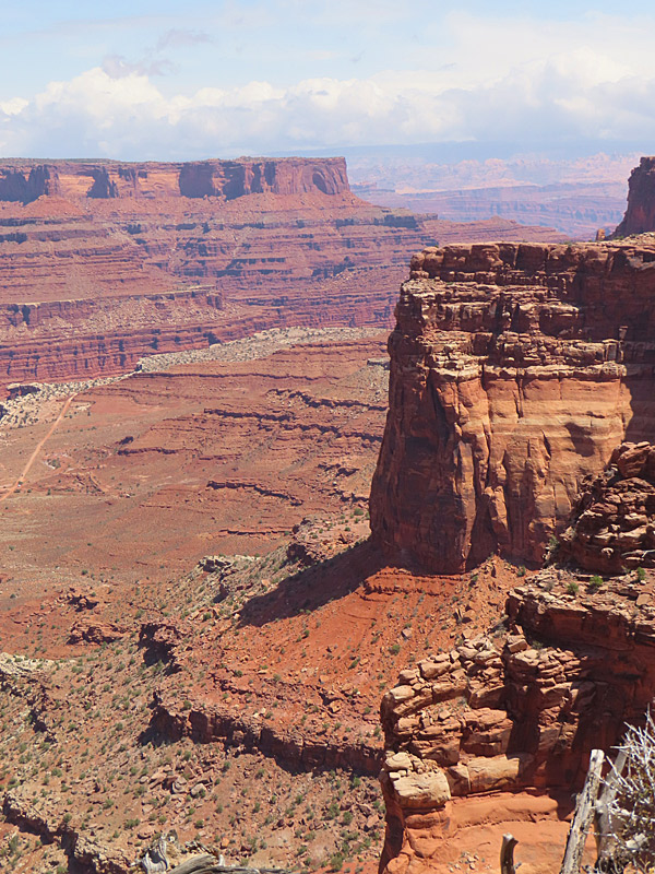
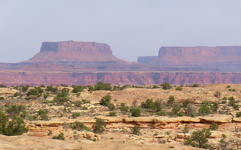
View from the Green River Overlook at Island in the Sky mesa in Canyonlands National Park. – photo by Joe AlexanderThe Canyonlands National Park road across the Island in the Sky mesa includes pullouts with great views at Green River Overlook and Grand View Overlook.
There are plenty of trails and camping is available at the park.
You reach the Canyonlands Island in the Sky visitor center by taking Highway 313 southwest from Highway 191, which is the north-south highway to and from Moab, Utah.
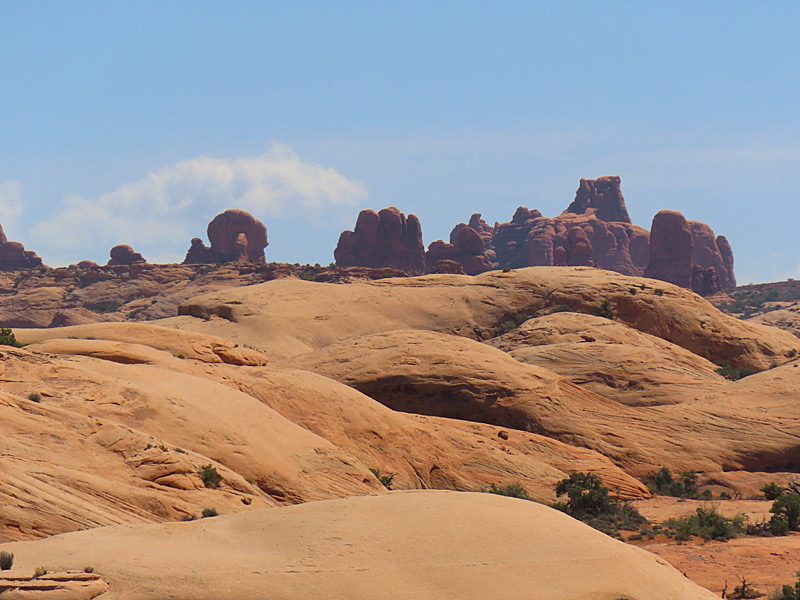
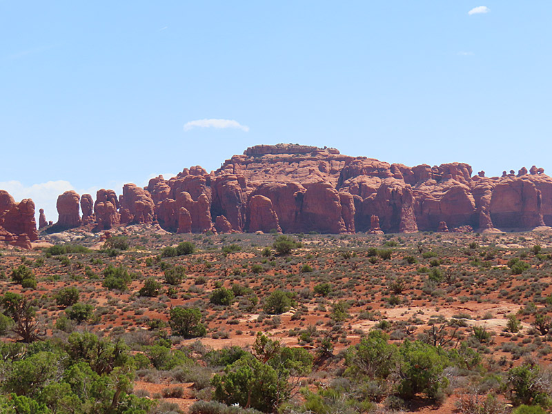
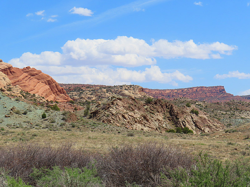
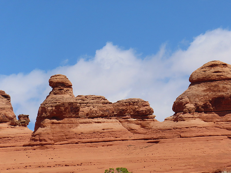
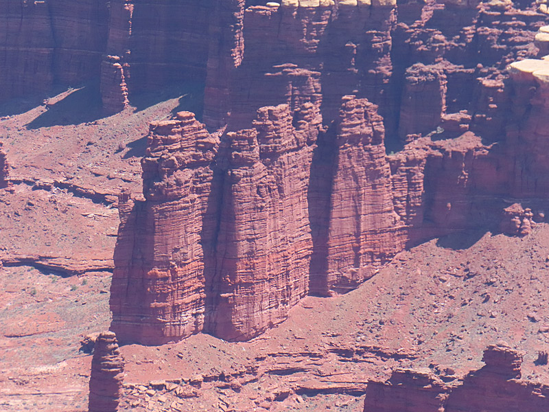
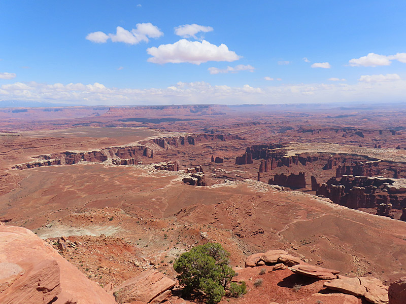
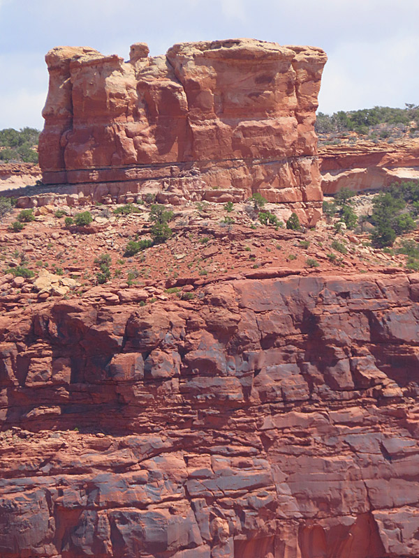
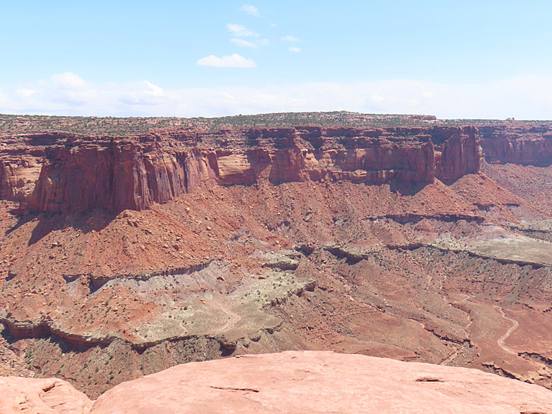
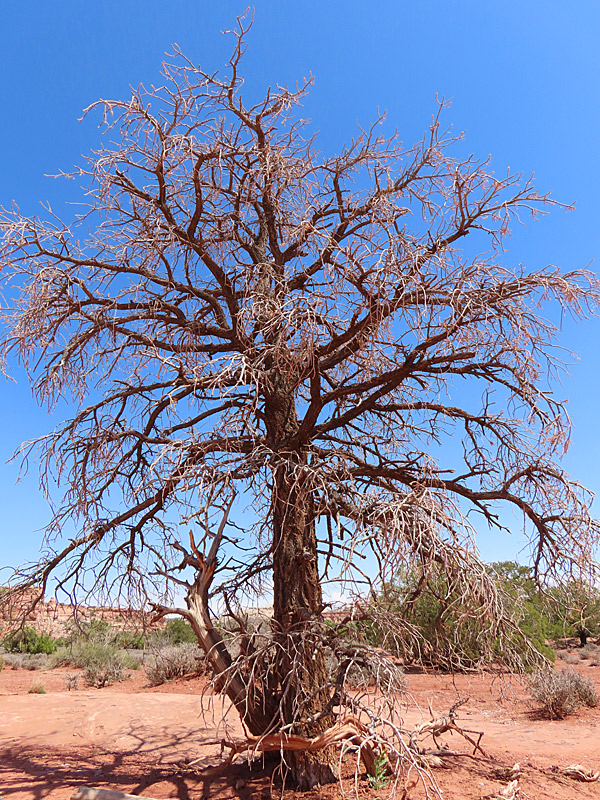
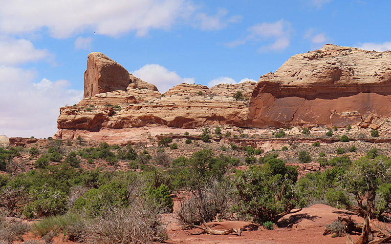
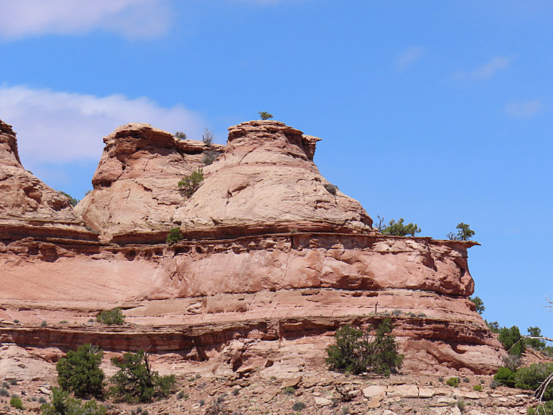
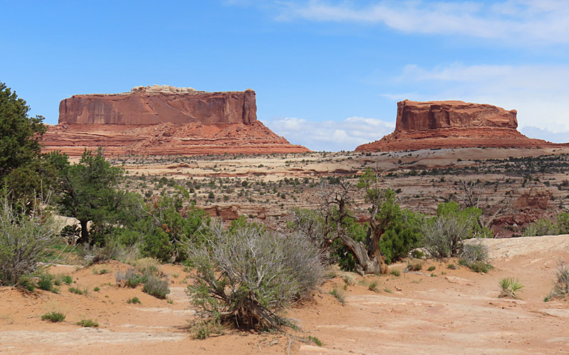
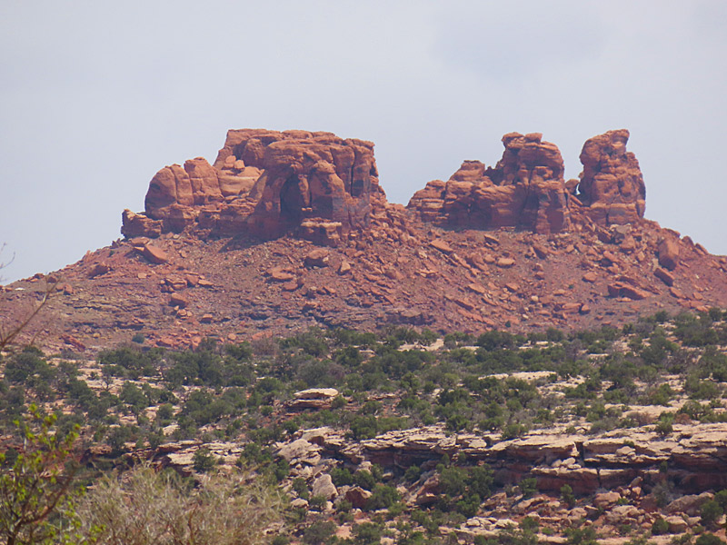
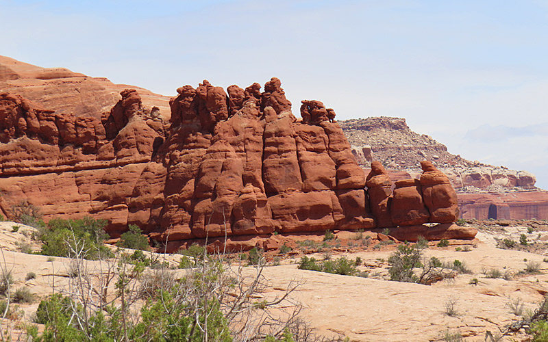
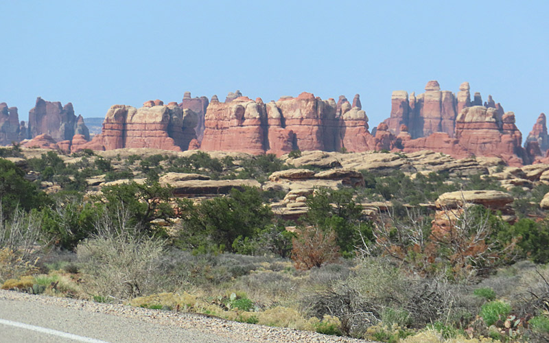
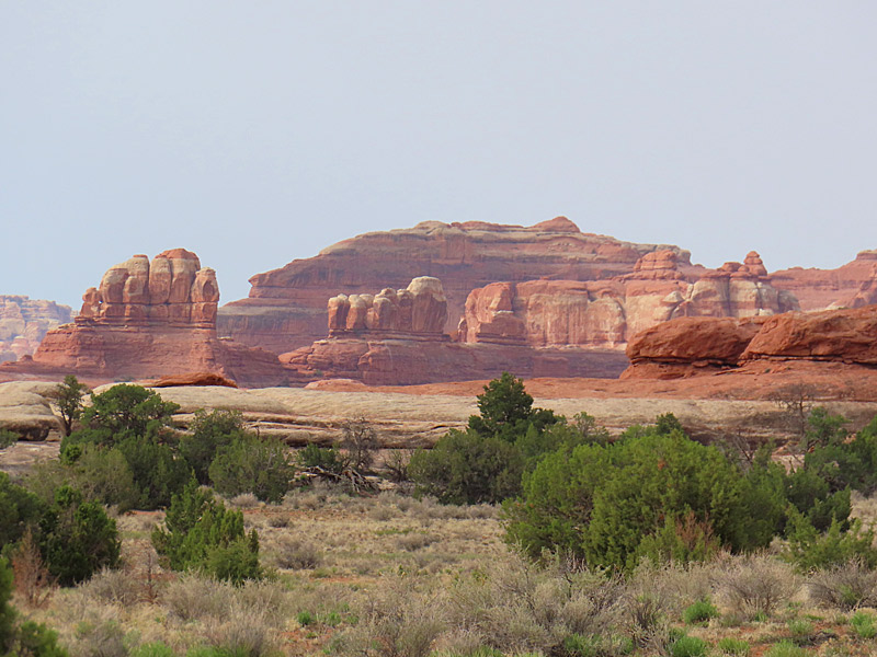
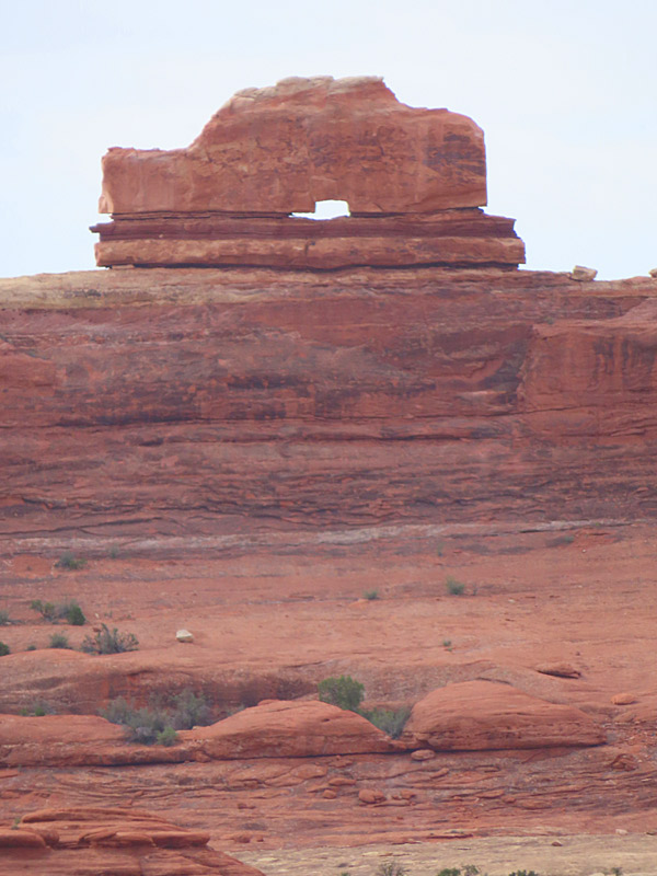
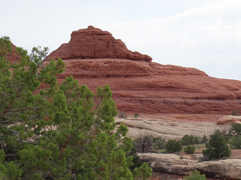
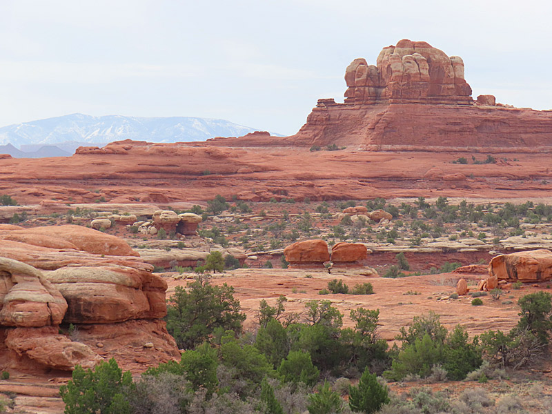
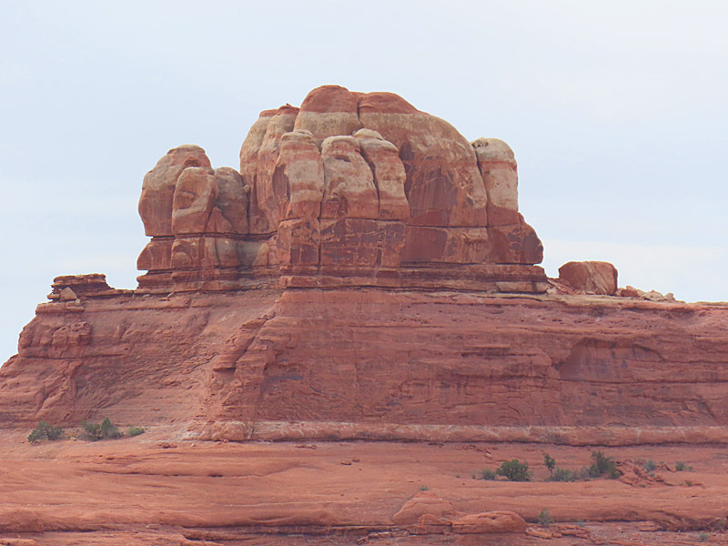
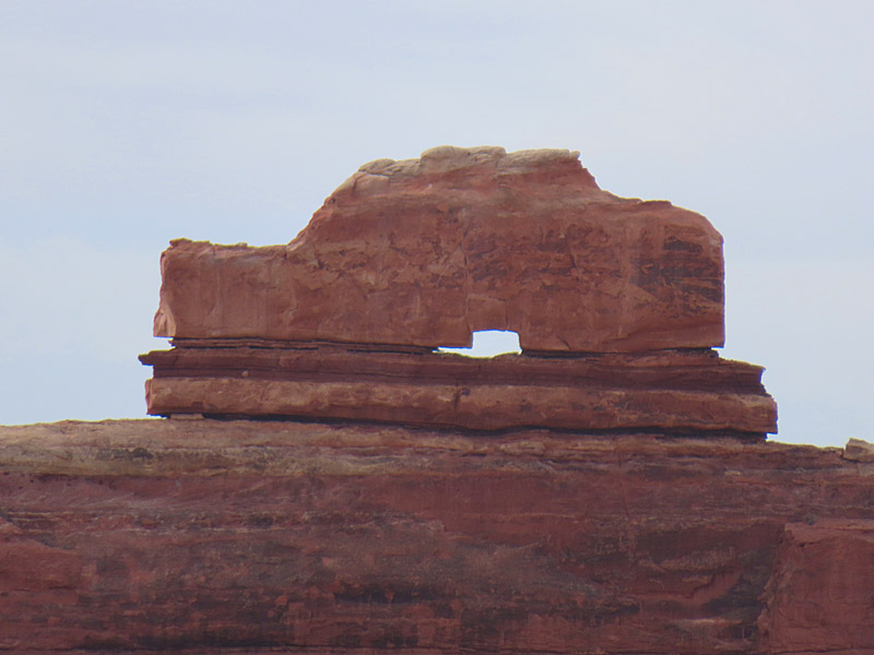
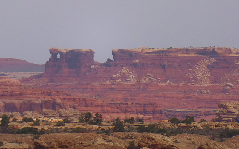
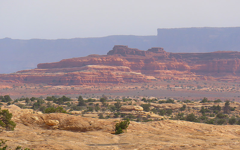
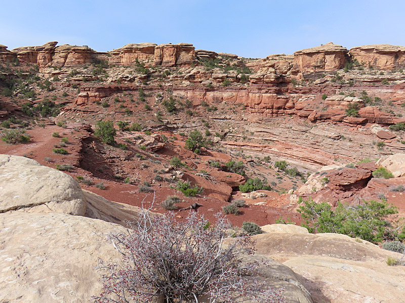
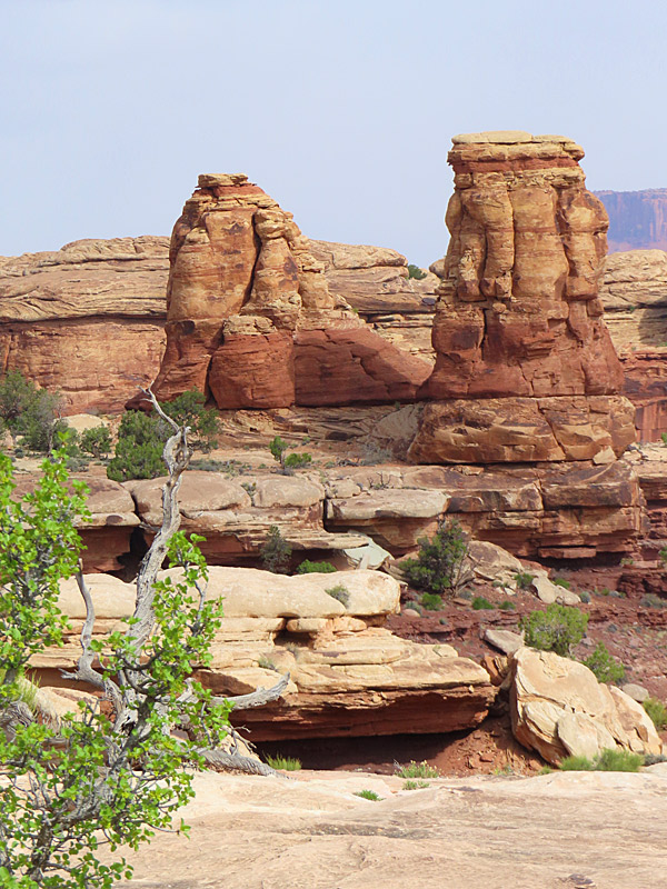
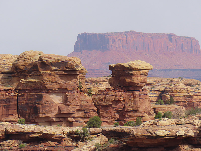
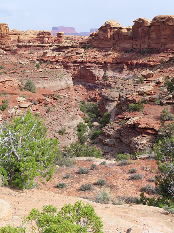
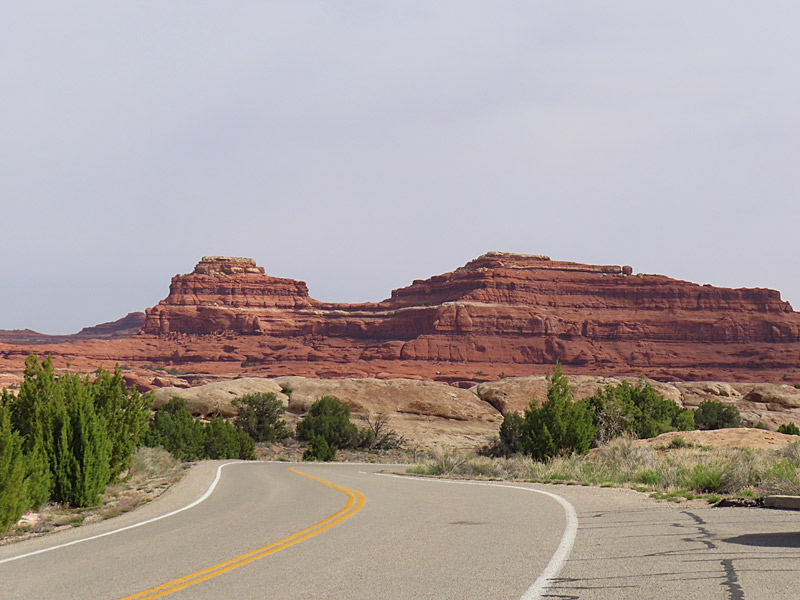
The Needles District of Canyonlands National Park in Utah. – photo by Joe AlexanderThere is more than one entrance to Canyonlands National Park in southern Utah.
The southeast part of Canyonlands is about an hour and a half drive heading south from Moab, Utah. That entrance takes you to the park district called The Needles.
According to Earth Trekkers, the park gets its name from clusters of sandstone spires.
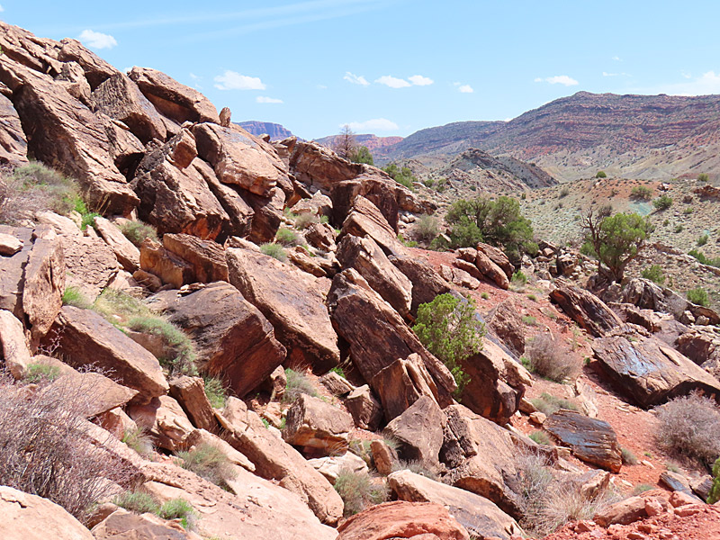
The morning I got here, the sky ranged from cloudy when I first showed up to mostly sunny but still hazy. I never got any really blue-blue skies, and then it clouded up again. My best shots were in that stretch of about an hour when I got at least some sun and sort of blueish skies.
I apparently headed out just in time. Heading north I drove through a momentary now flurry and then some wind and rain. That cleared up in time for me to make an afternoon visit to the north side of the park.

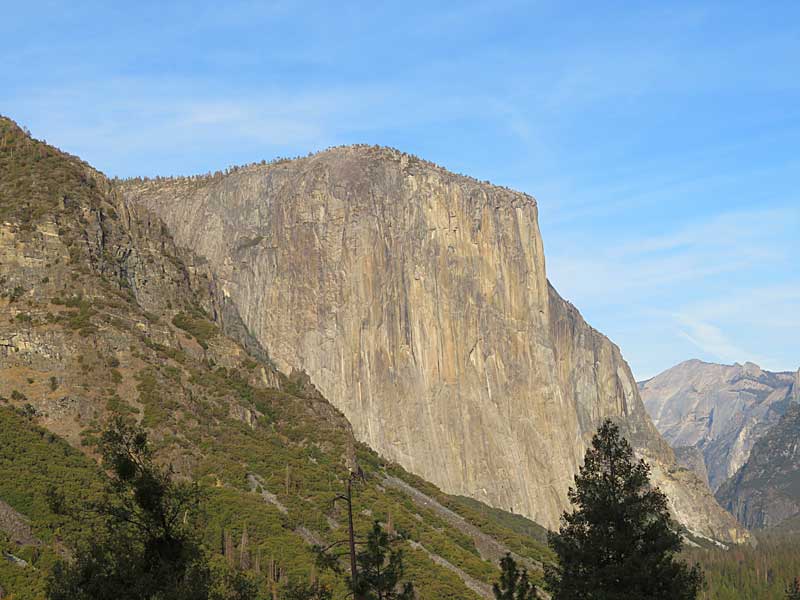
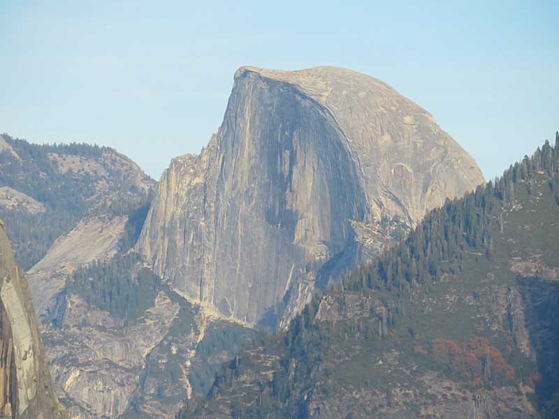
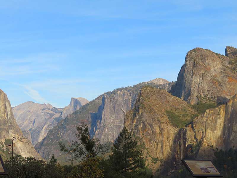
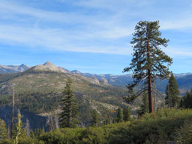
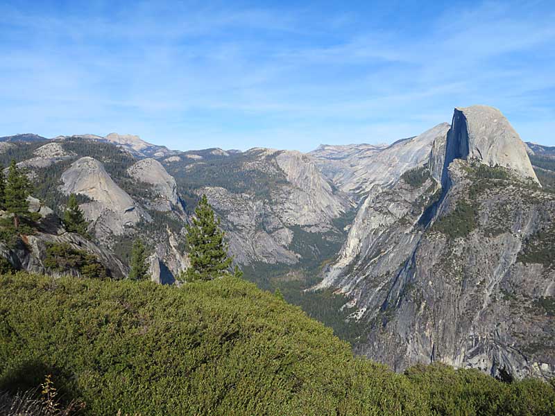 Glacier Point in Yosemite National Park offers one of the most popular viewpoints of the valley including Half Dome.