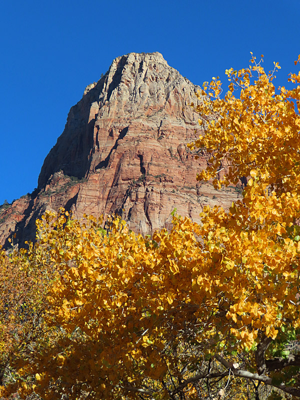
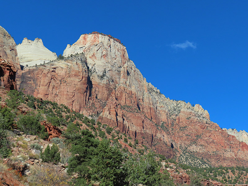
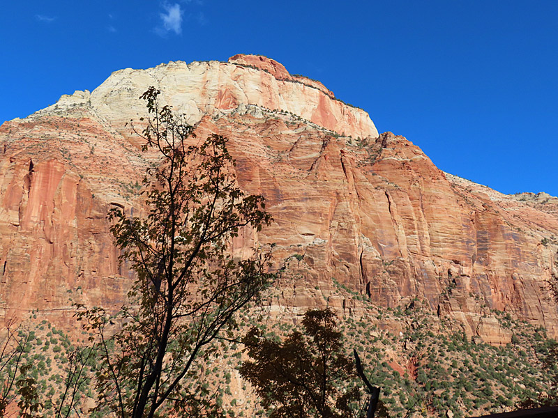
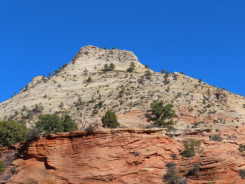
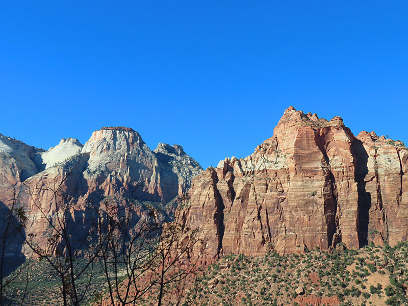
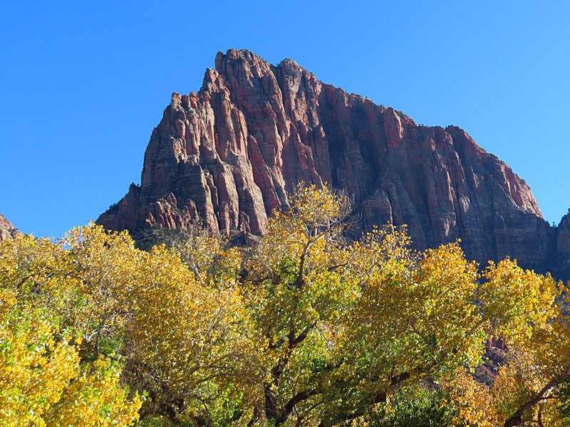
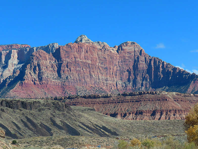
This is one of the first views you have from the Zion National Park visitor’s center near Springdale, Utah. – photo by Joe Alexander, all rights reservedI made it into southwestern Utah and Zion National Park the week before Thanksgiving.
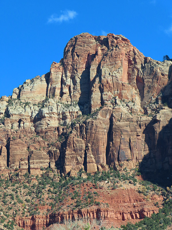
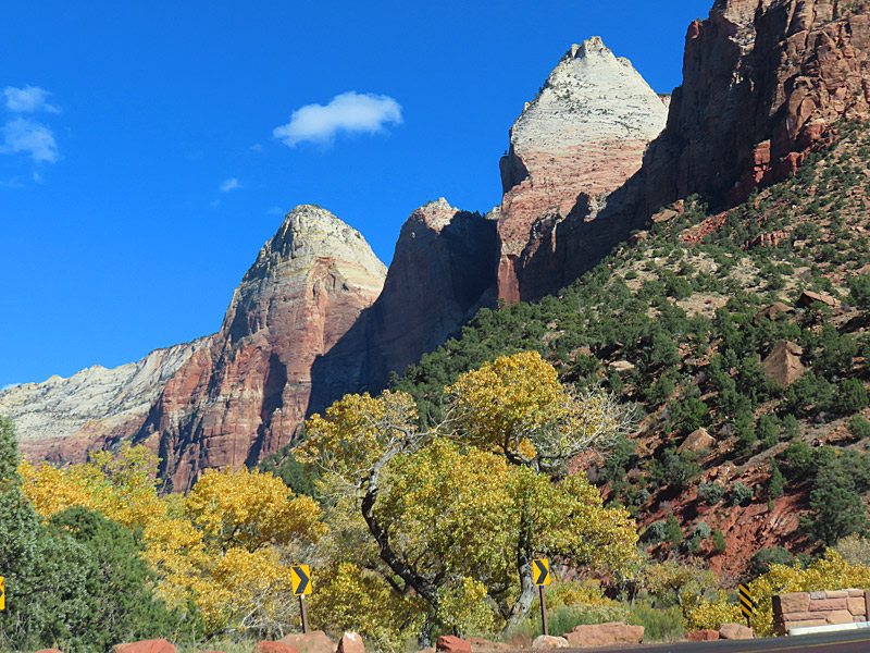
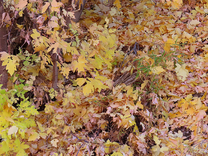
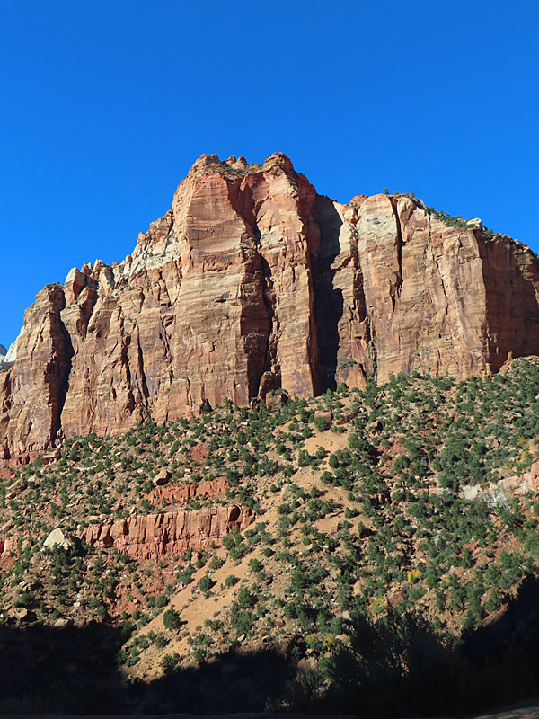
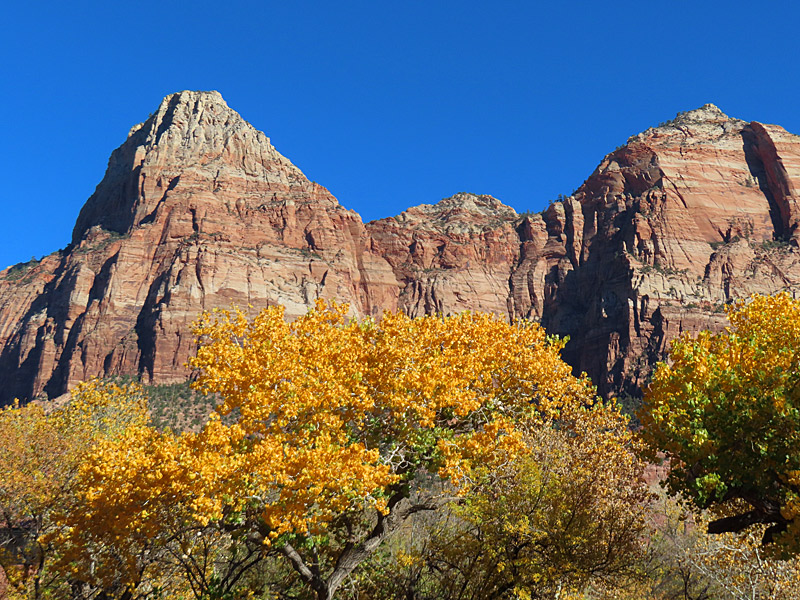
I was probably a week or two late to see the peak of the leaves changing colors, but there was still a lot of bright yellow in the trees. That made a vivid contrast to the red and tan striations of the rocky terrain in the park.
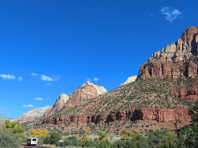
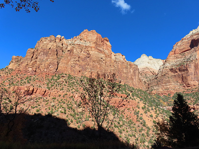
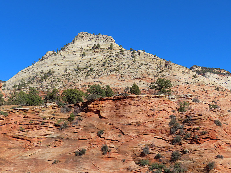
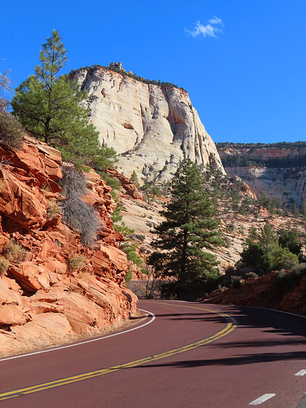
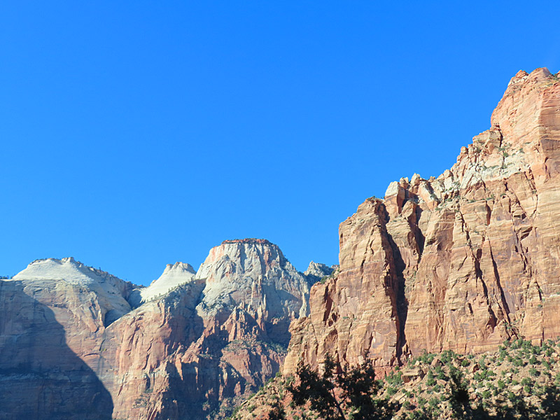
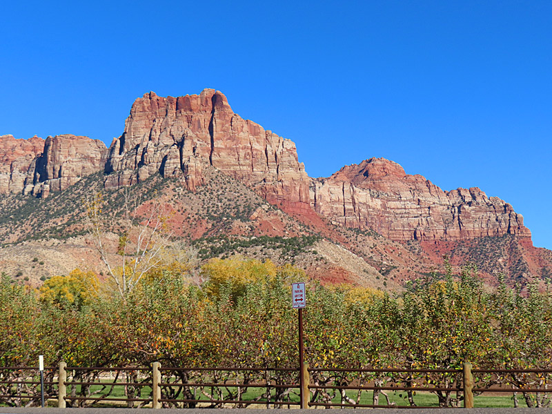
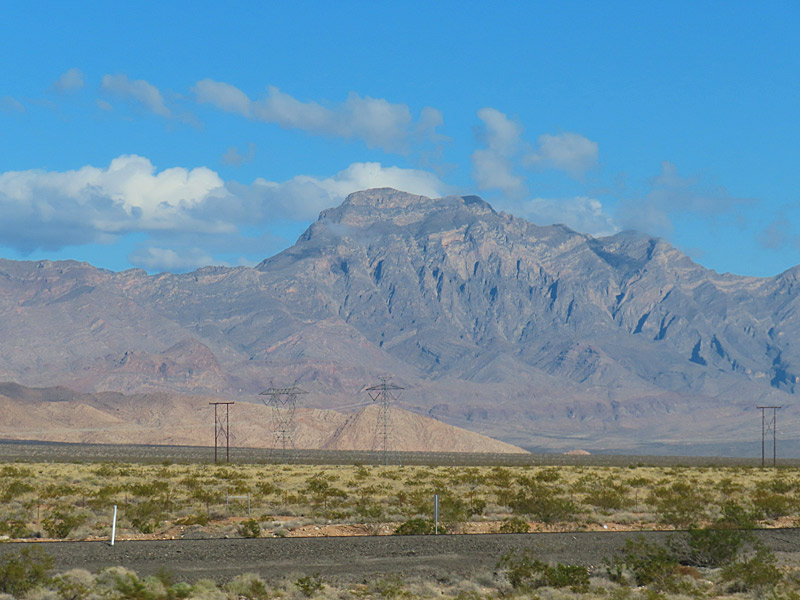
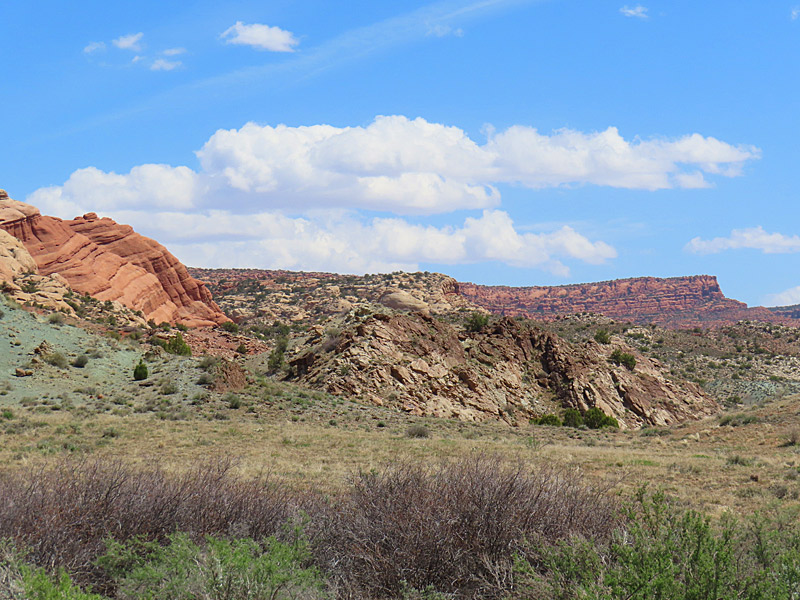
As you get close to Zion National Park, the landscape gives you an idea of what lies ahead. This is in southern Utah not far from the park. – photo by Joe Alexander, all rights reservedIt takes a little more than two hours to drive from Las Vegas to Zion National Park.
Most of that drive takes you northeast up Interstate 15 through eastern Nevada, a sliver of northwestern Arizona and finally into the southwestern corner of Utah.
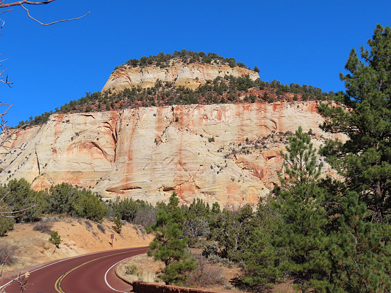
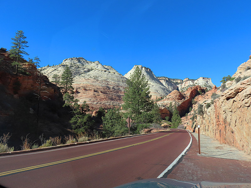
You never know what weather you’ll get when you book your vacation a few weeks out but I was fortunate to make the drive on a clear and sunny November day.
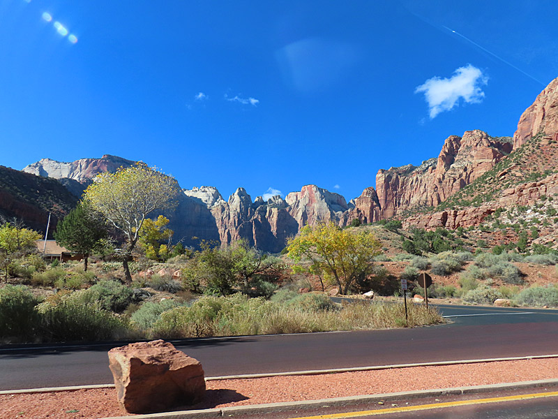
There were no traffic issues until I tried to park at the Zion National Park visitor’s center. I guess you need to get there early but I rolled in after 1 p.m. and the parking lot was completely full.
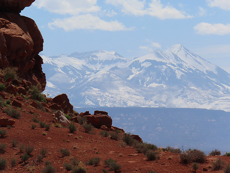
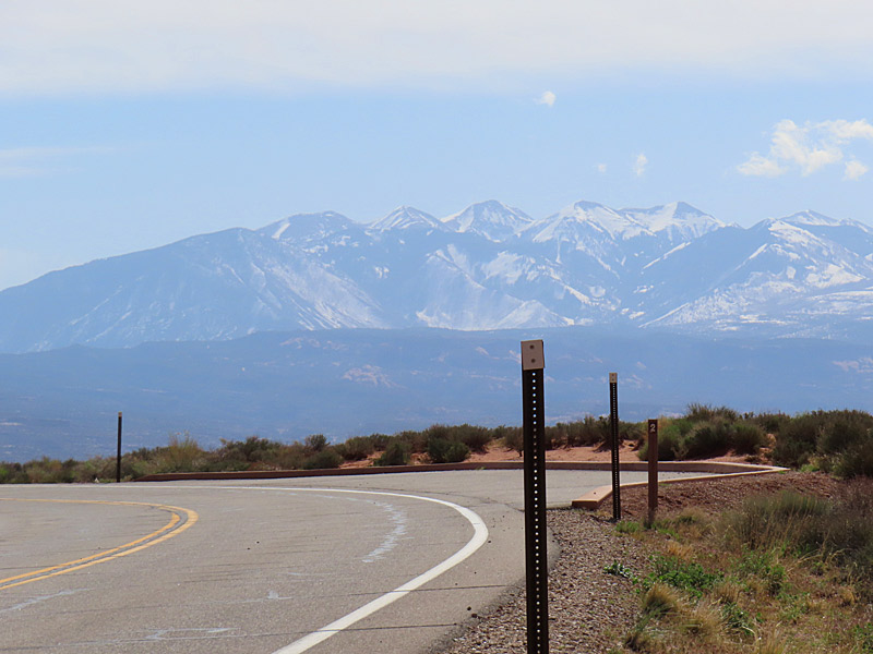
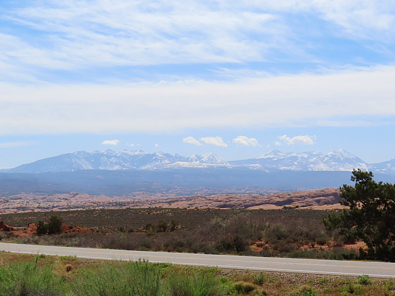
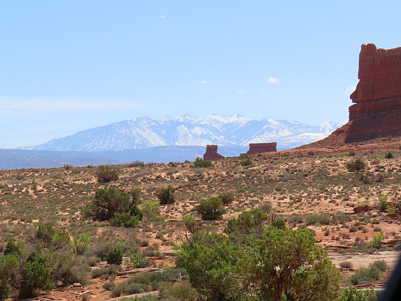
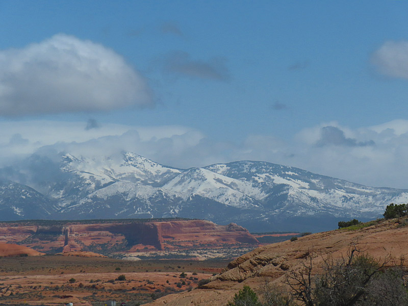
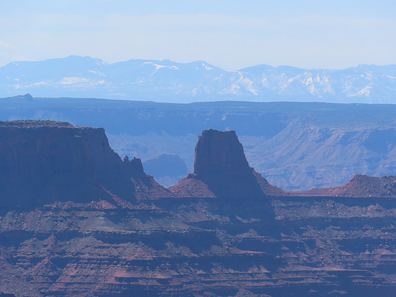
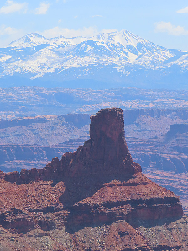
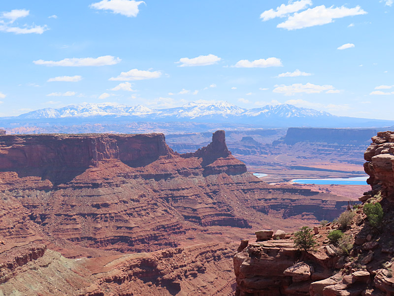
The La Sal Mountains in southeast Utah. View is looking east from Arches National Park in late April. – photo by Joe AlexanderThe La Sal Mountains make for a handy reference point in and around Moab, Utah. The peaks were covered with snow in April and visible from almost anyplace near Moab.
The La Sal Mountains are located about 20 miles southeast of Moab in the Manti-La Sal National Forest near Utah’s border with Colorado.
The mountain peaks are over 12,000 feet – the second highest mountain range in Utah.
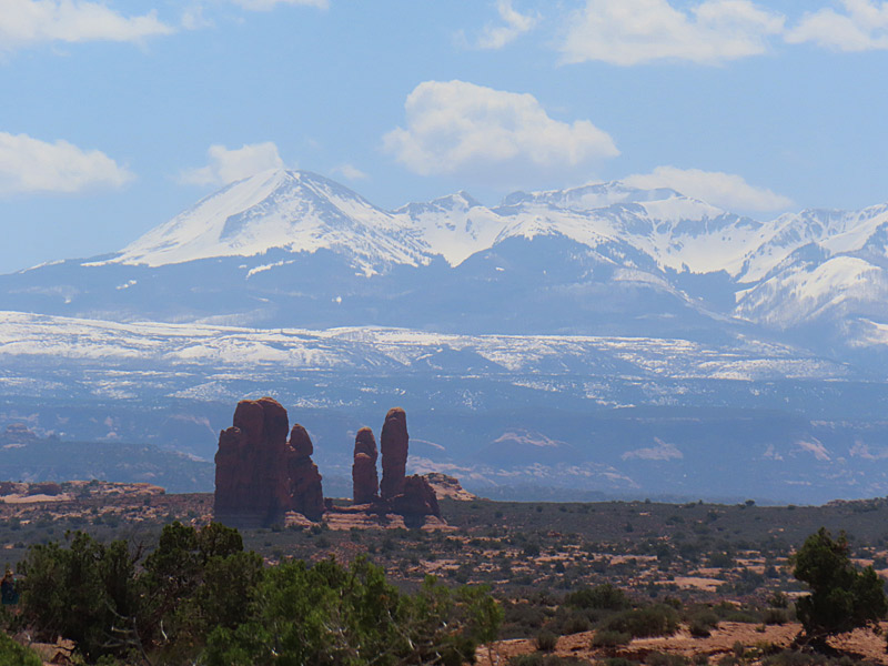
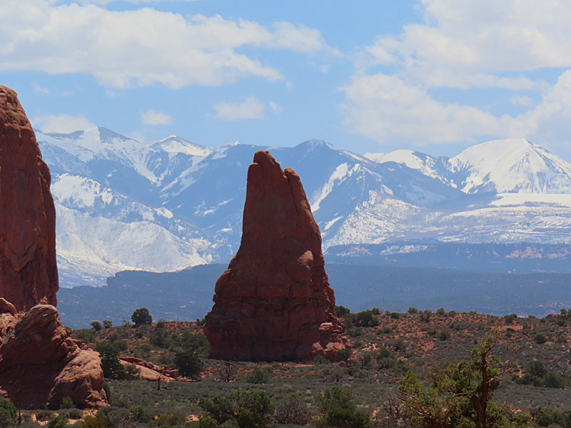
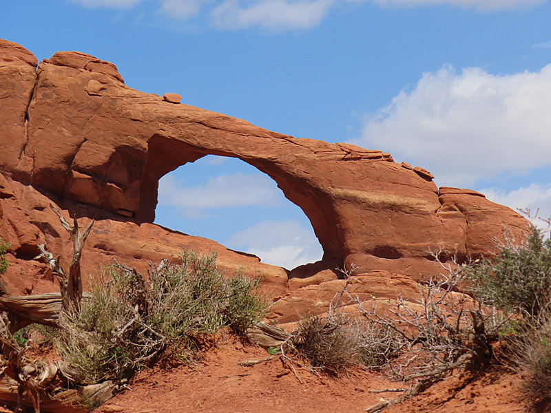
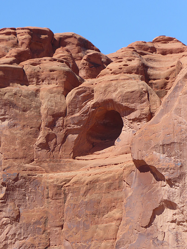
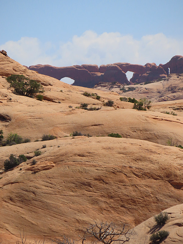
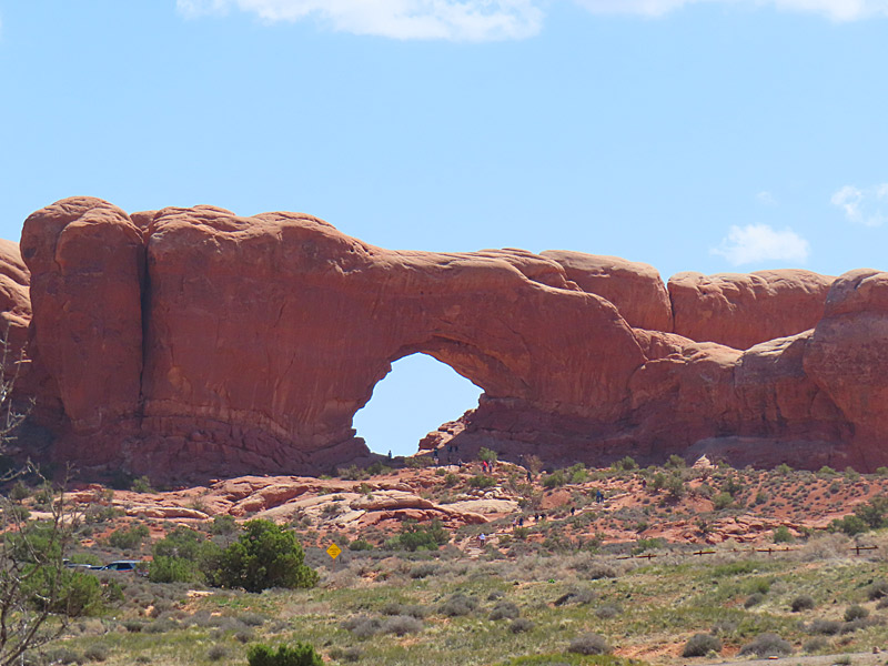
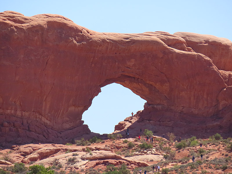
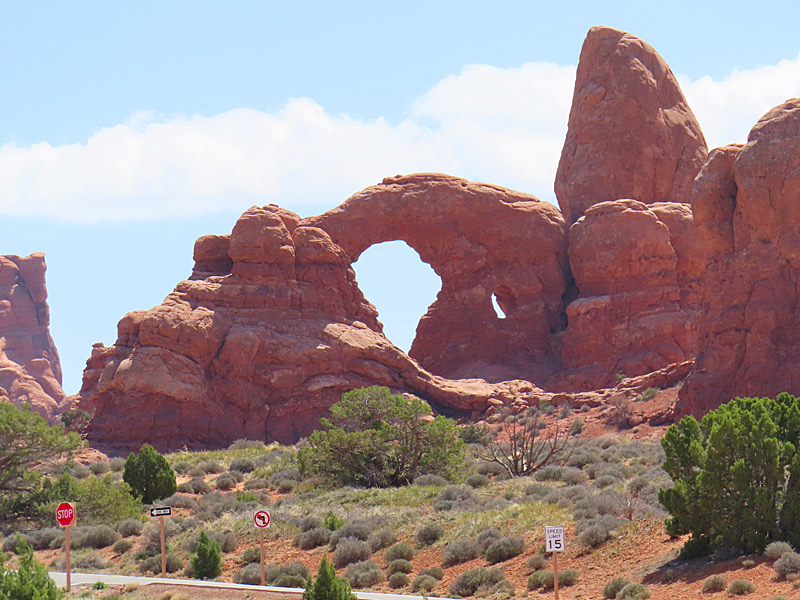
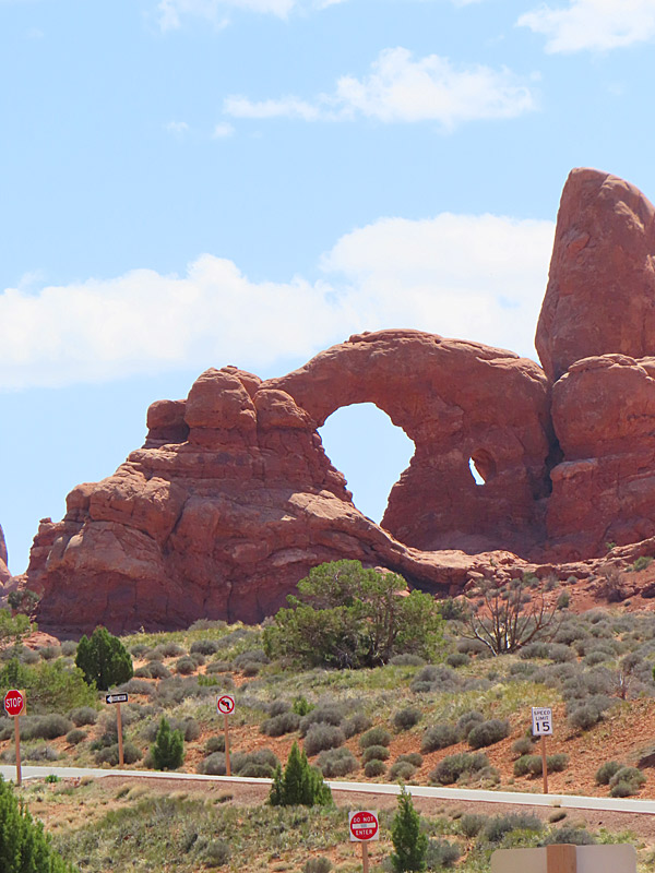
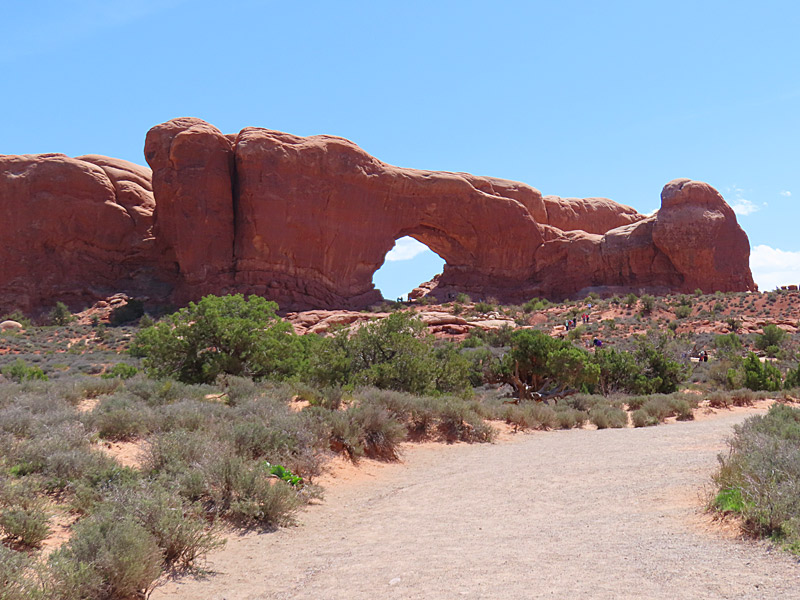
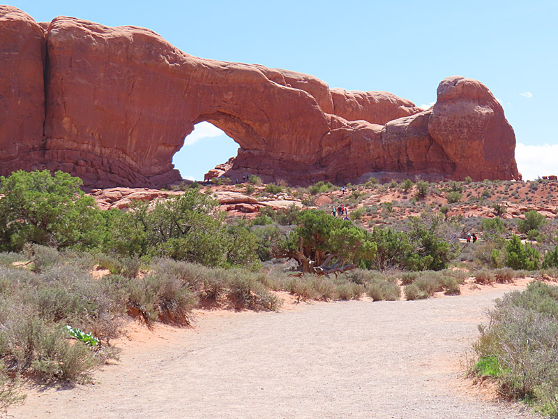
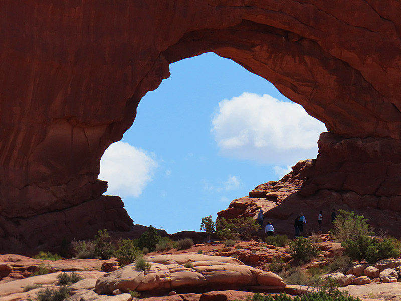
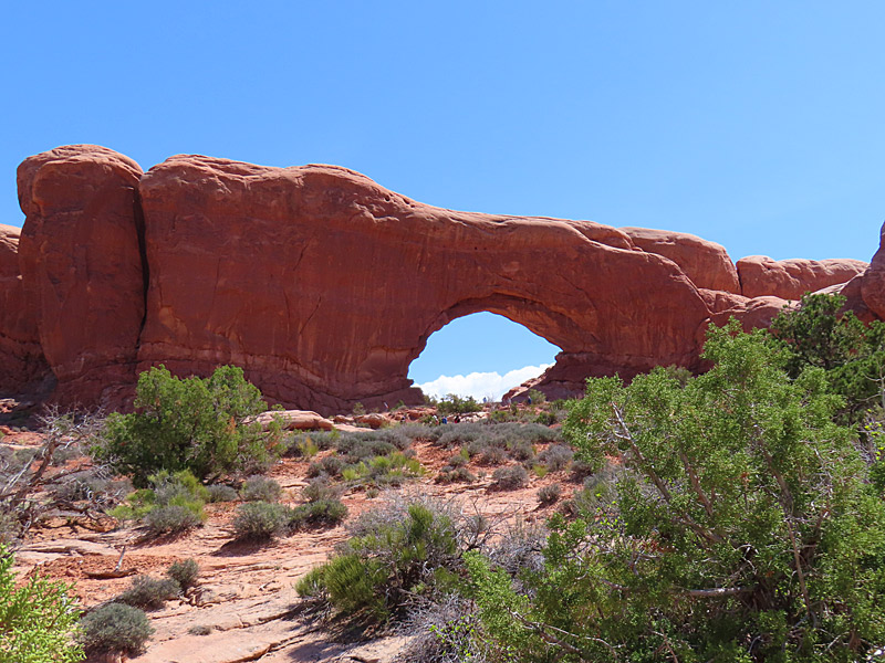
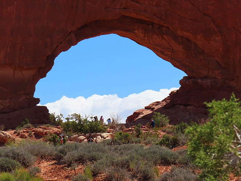
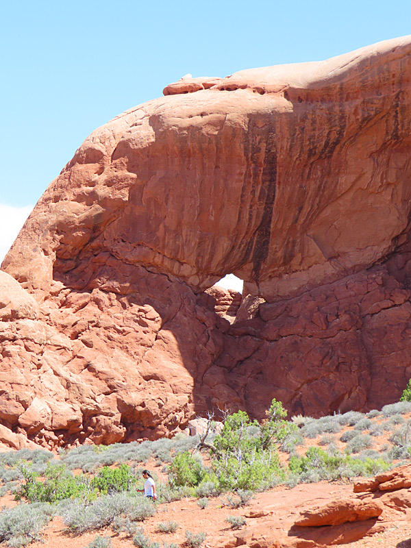
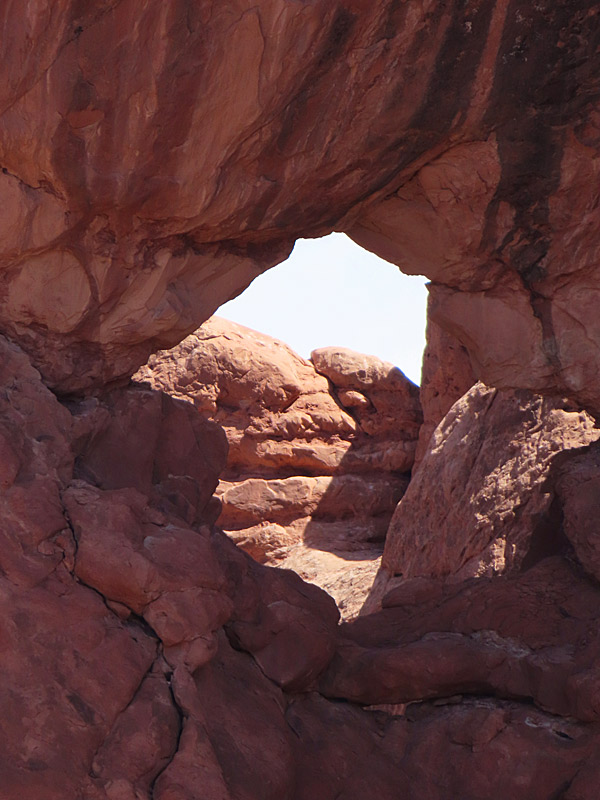
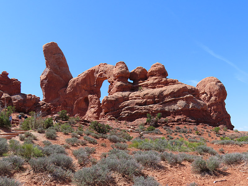
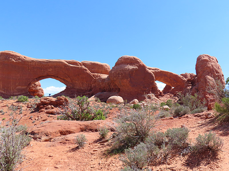
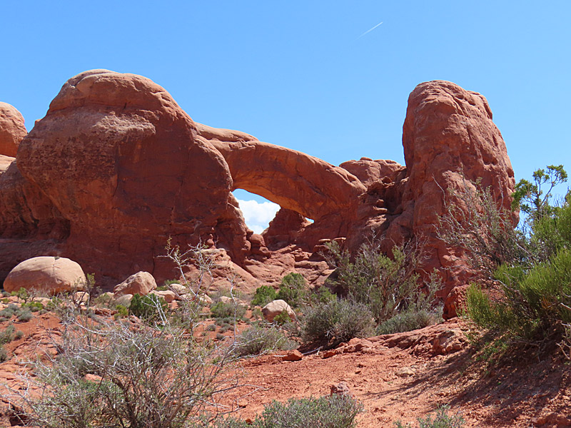
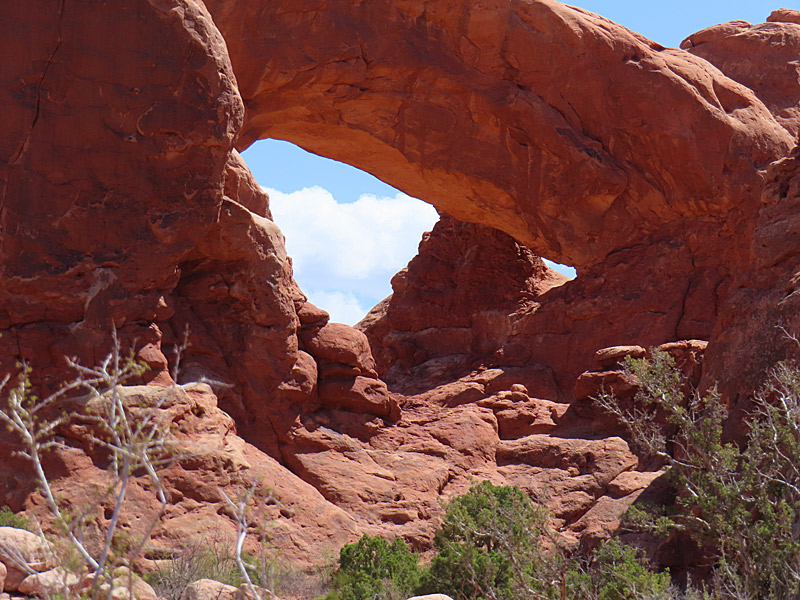
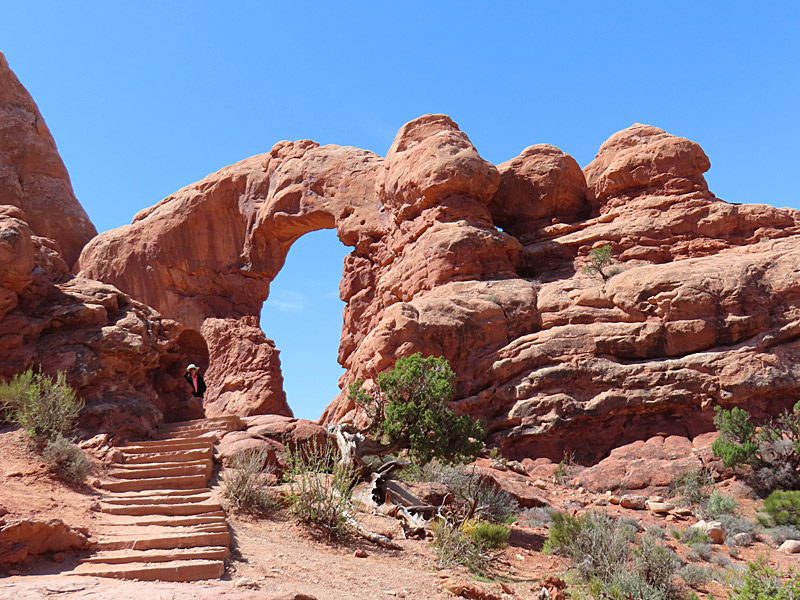
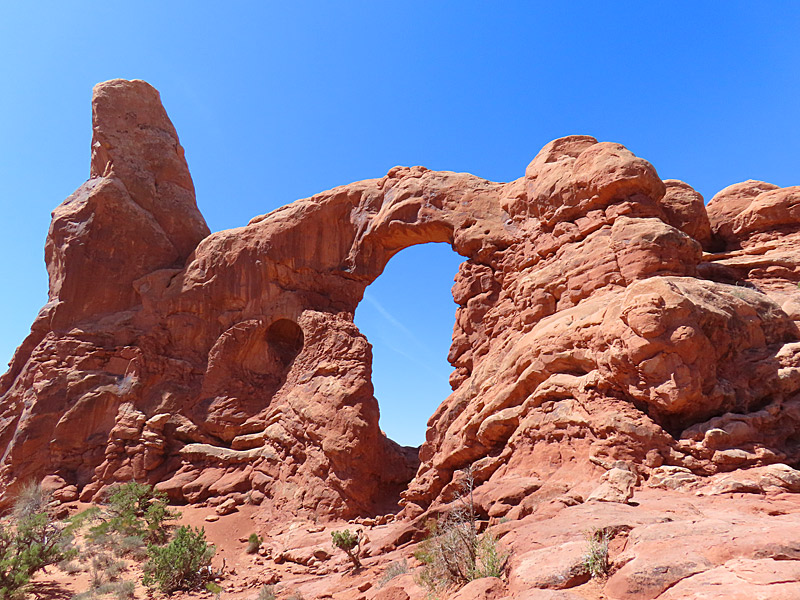
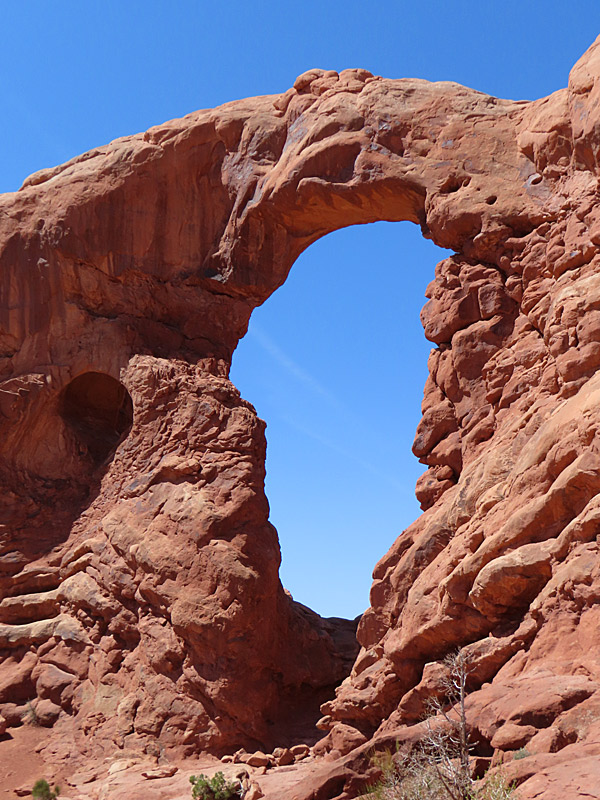
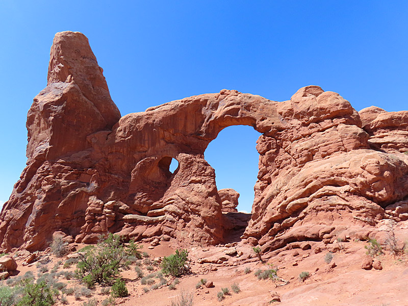
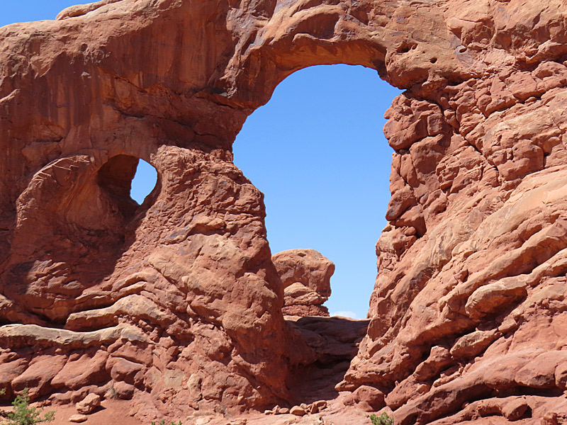
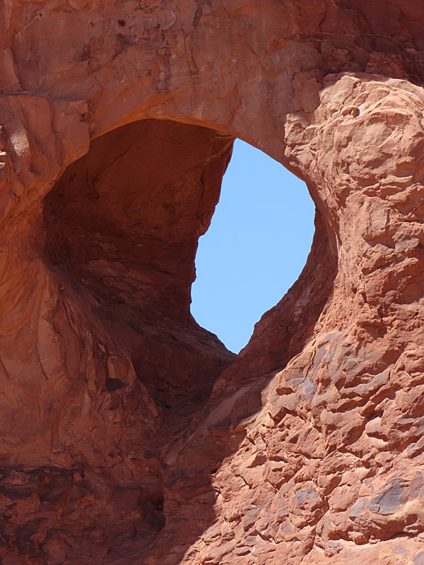
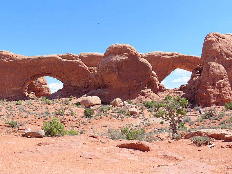
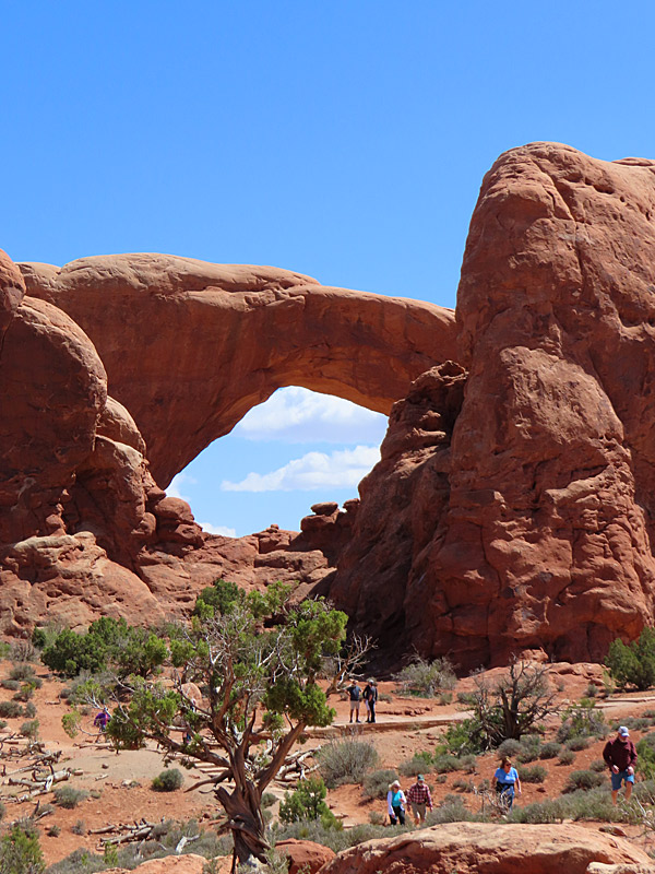
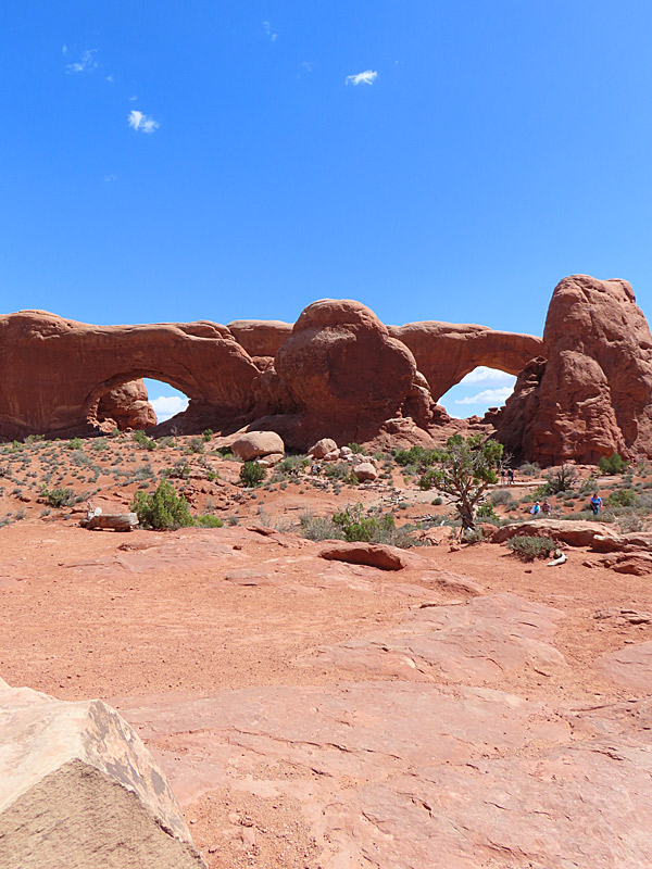
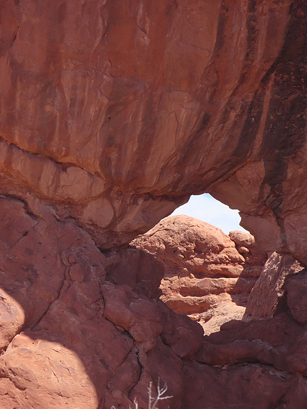
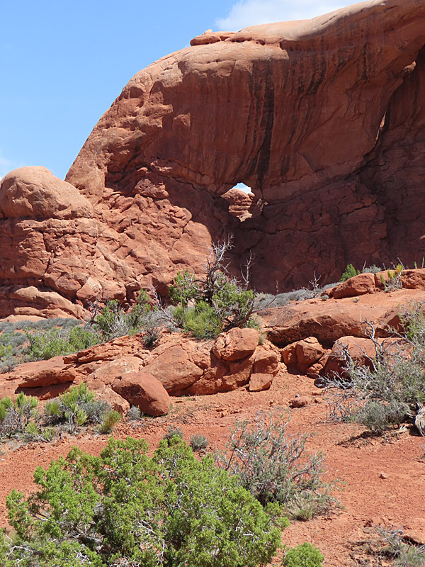
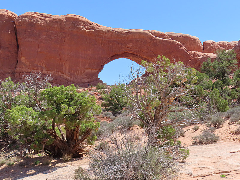
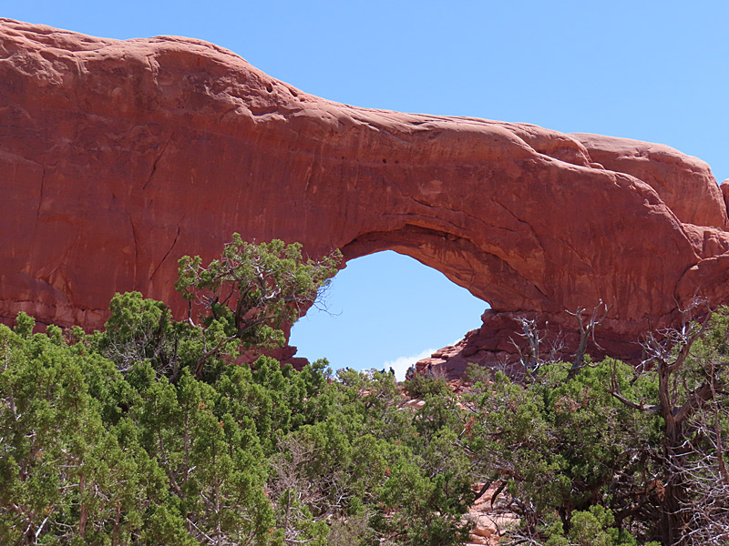
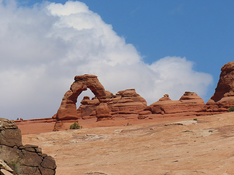
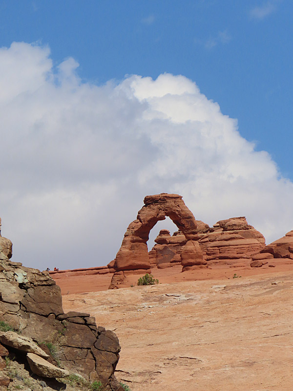
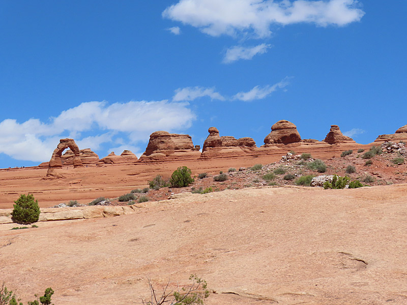
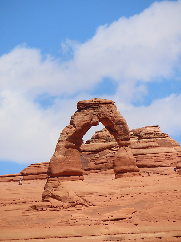
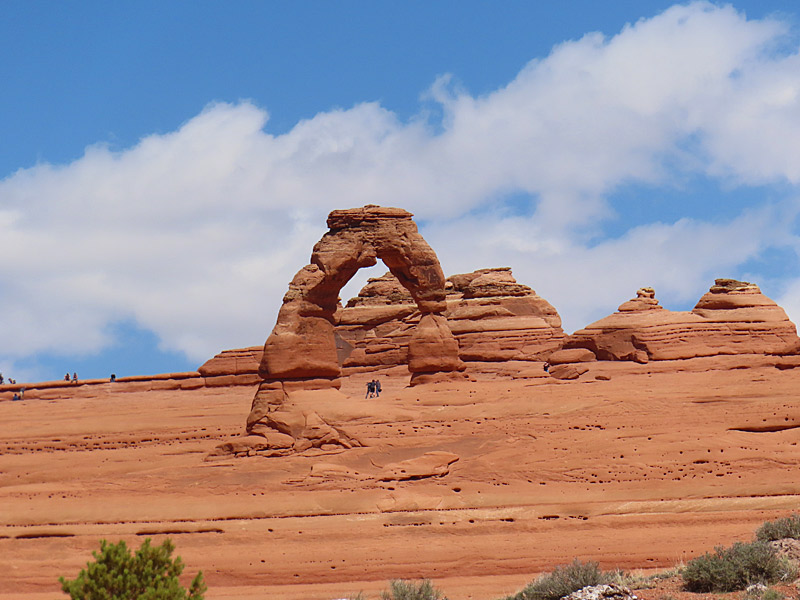
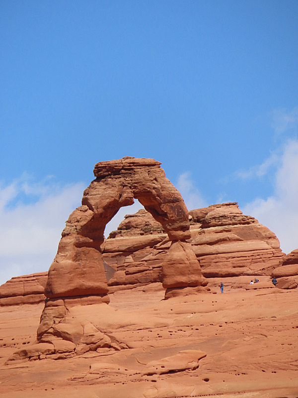
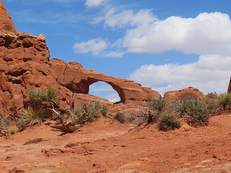
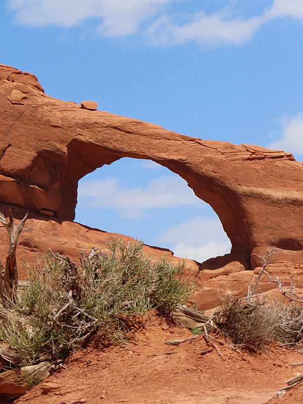
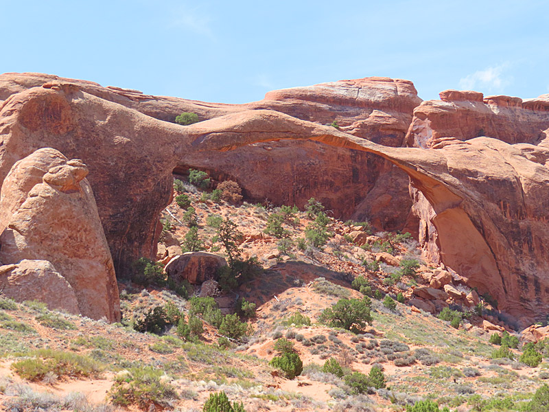
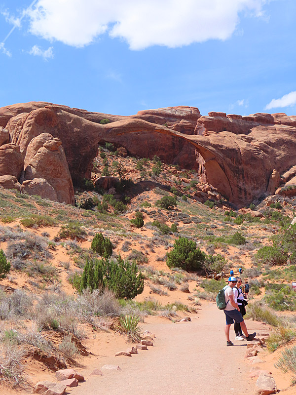
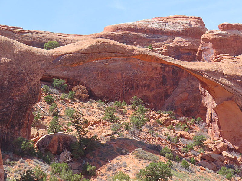
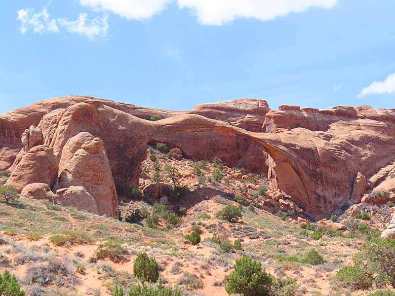
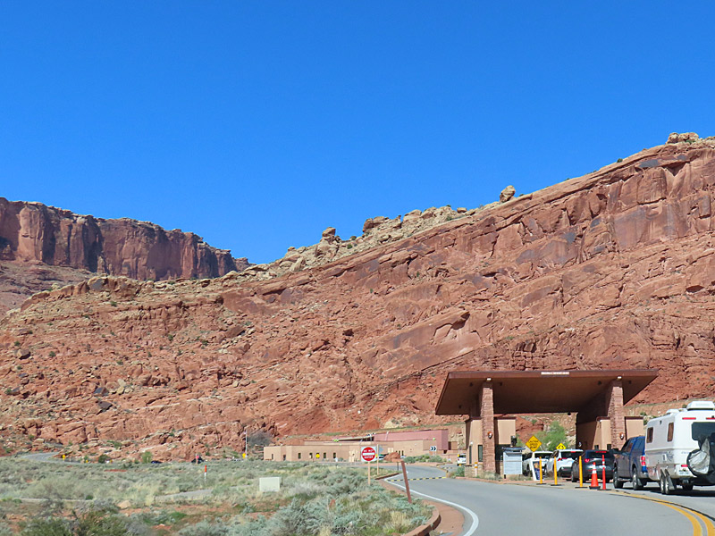
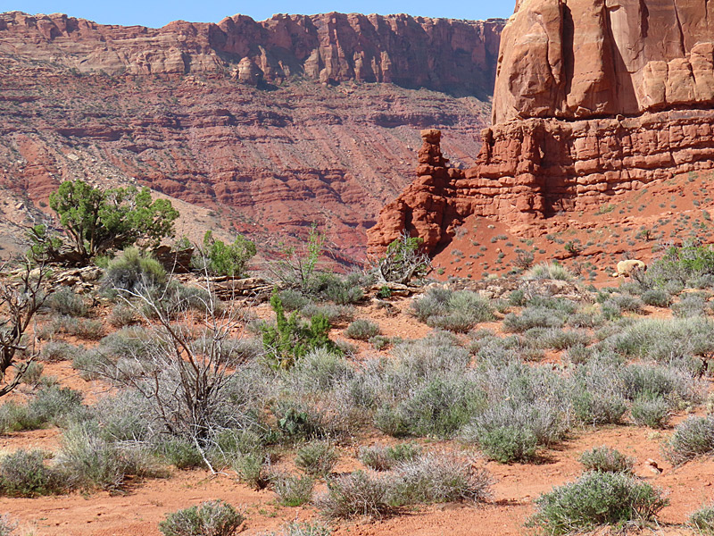
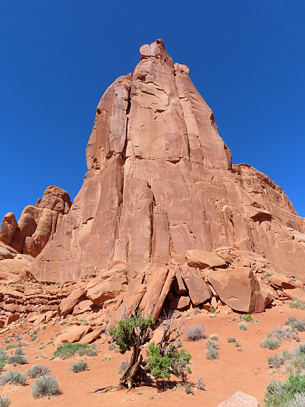
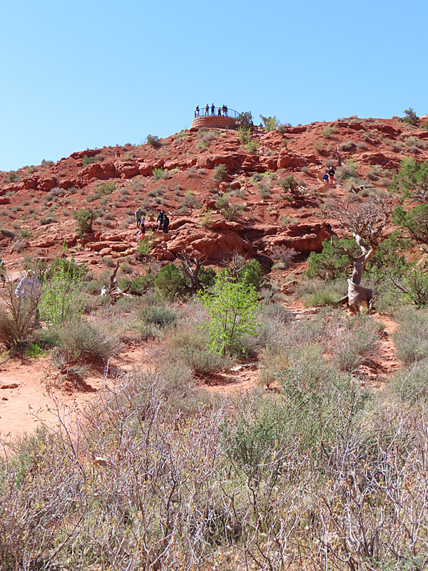
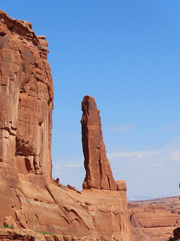
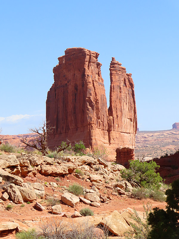
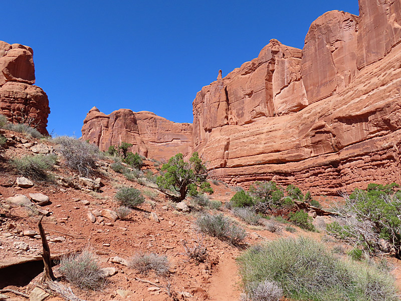
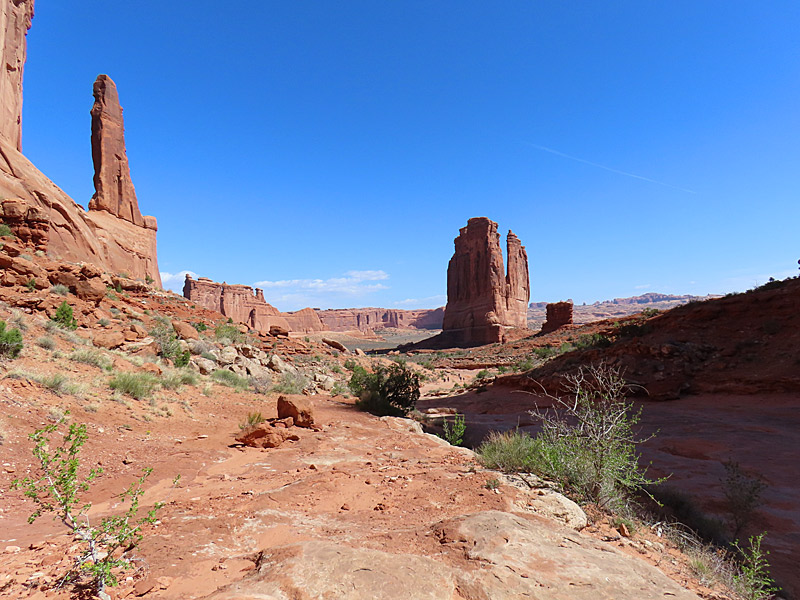
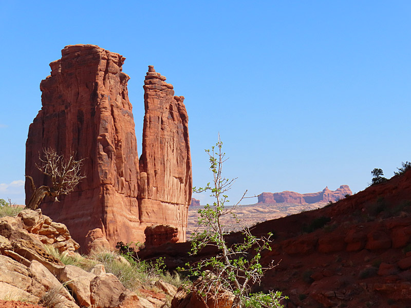
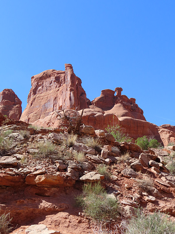
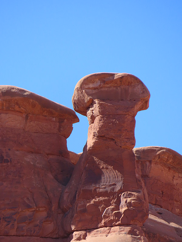
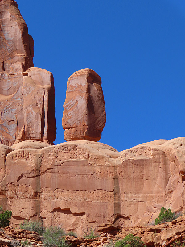
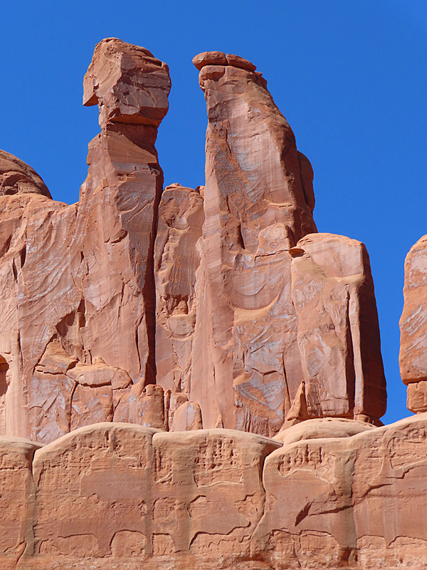
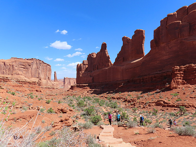
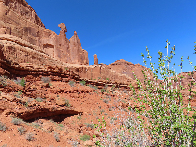
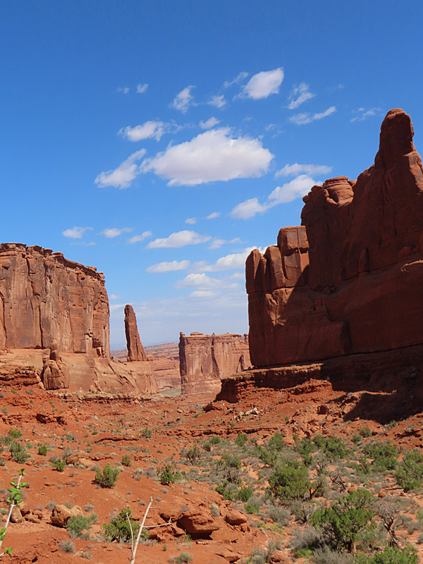
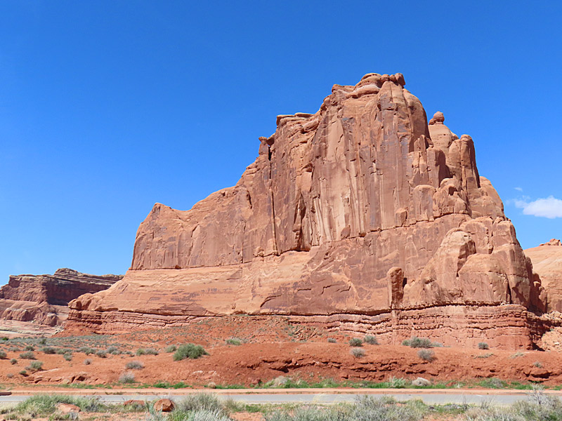
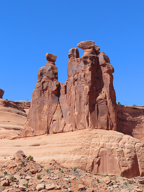
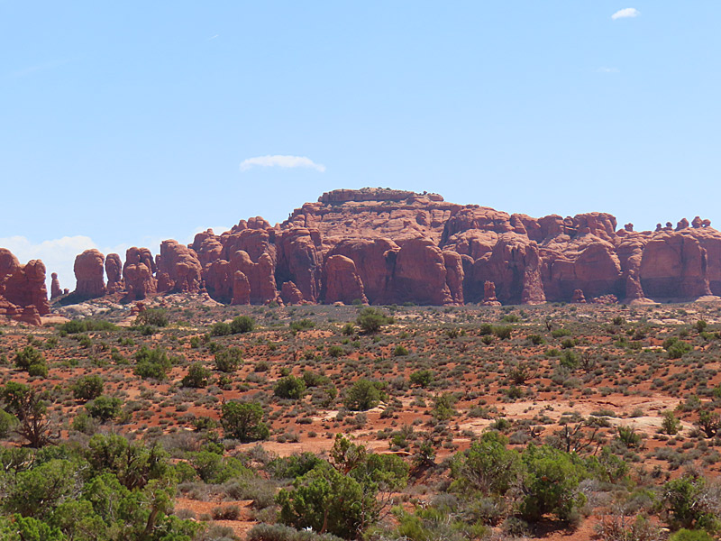
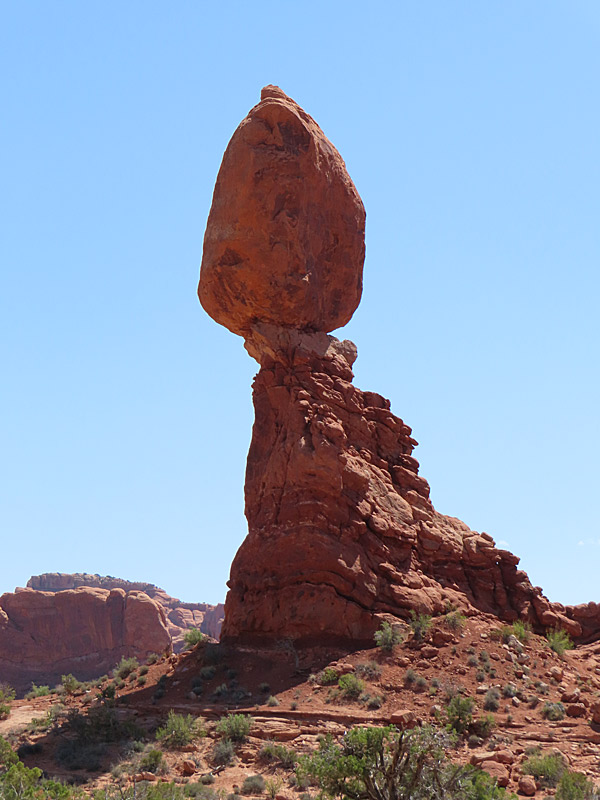
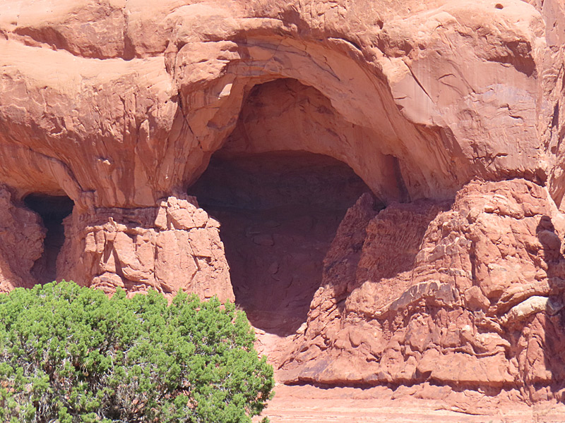
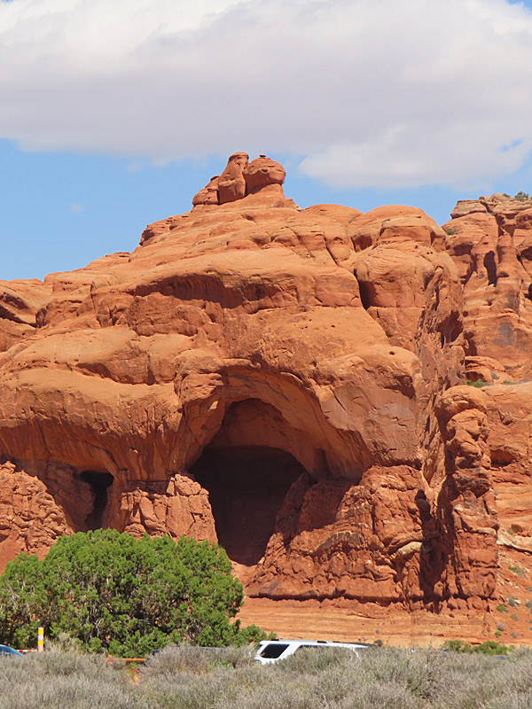
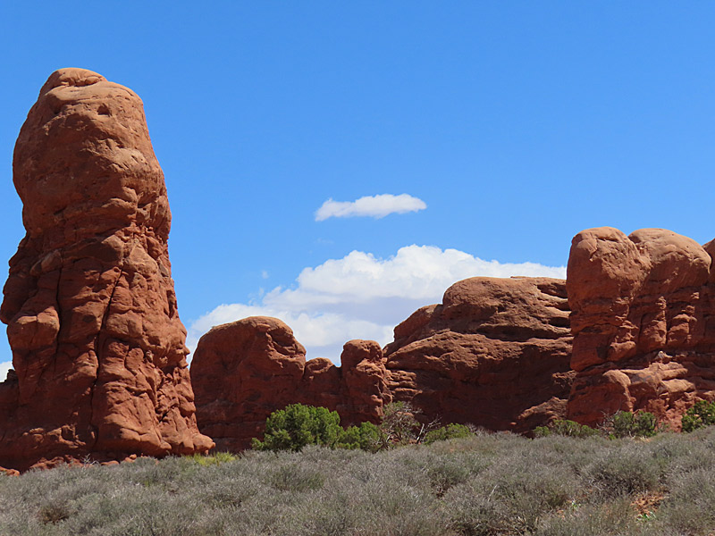
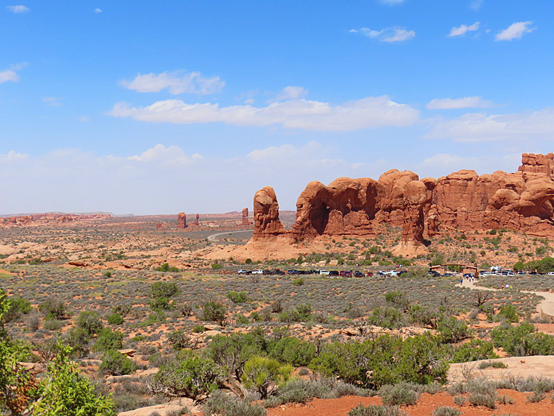
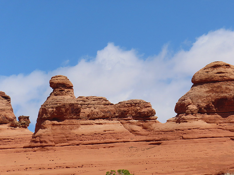
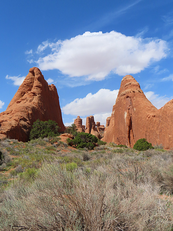
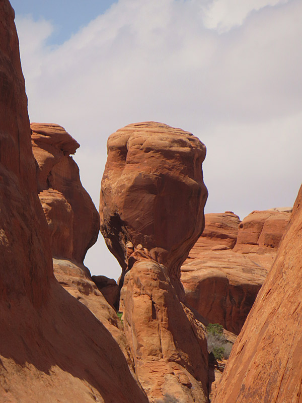
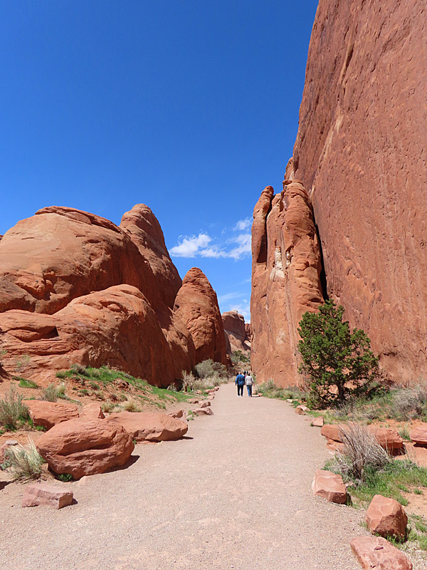
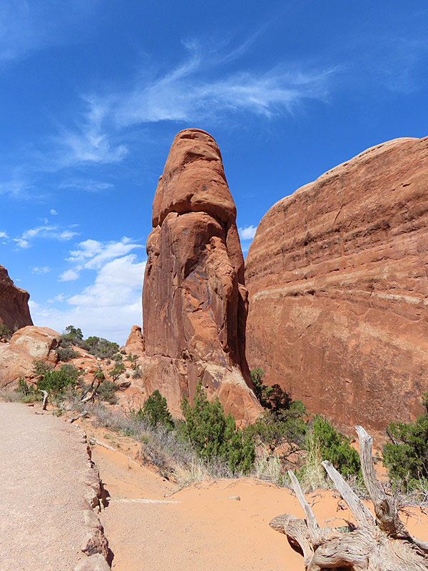
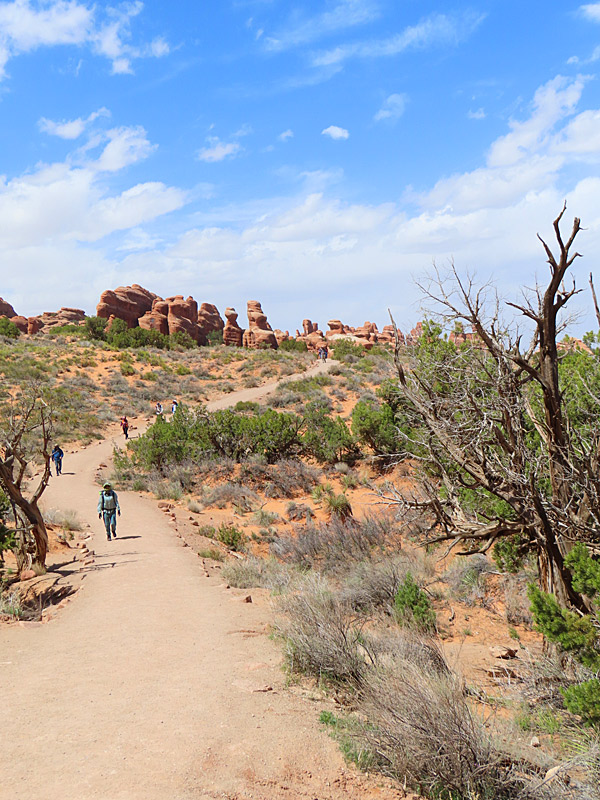
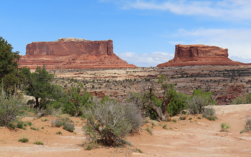
Arches National Park in southern Utah in April, 2023. – photo by Joe AlexanderPeople flock to Arches National Park for the red rocks, blue skies and most of all for the namesake arches.
Be aware that from April 1 to October 31, 2023, you need a reservation in the form of a Timed Entry Ticket. More information on that here:
Official site: Arches: National Park Service
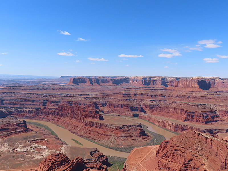
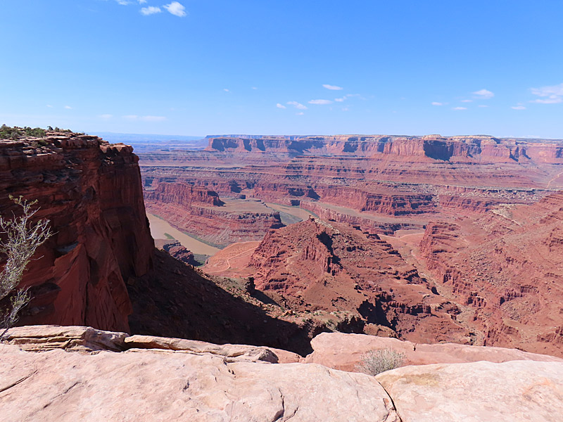
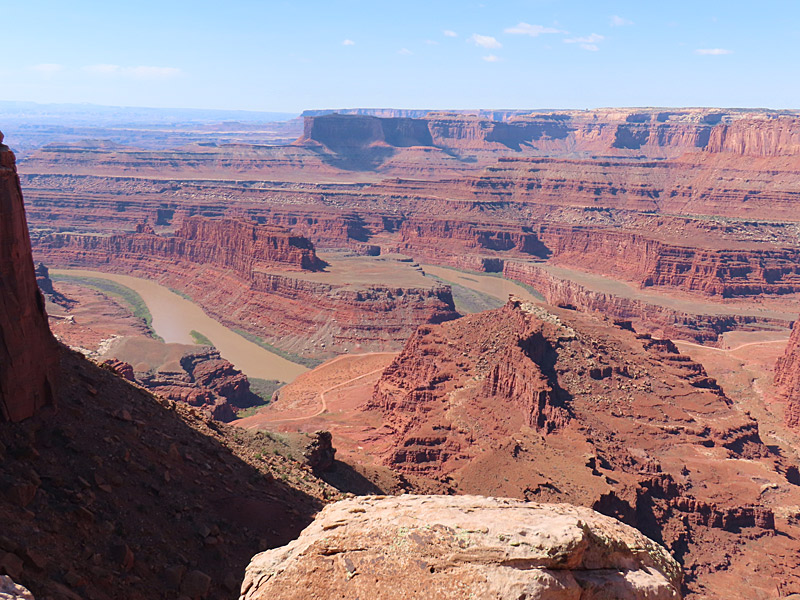
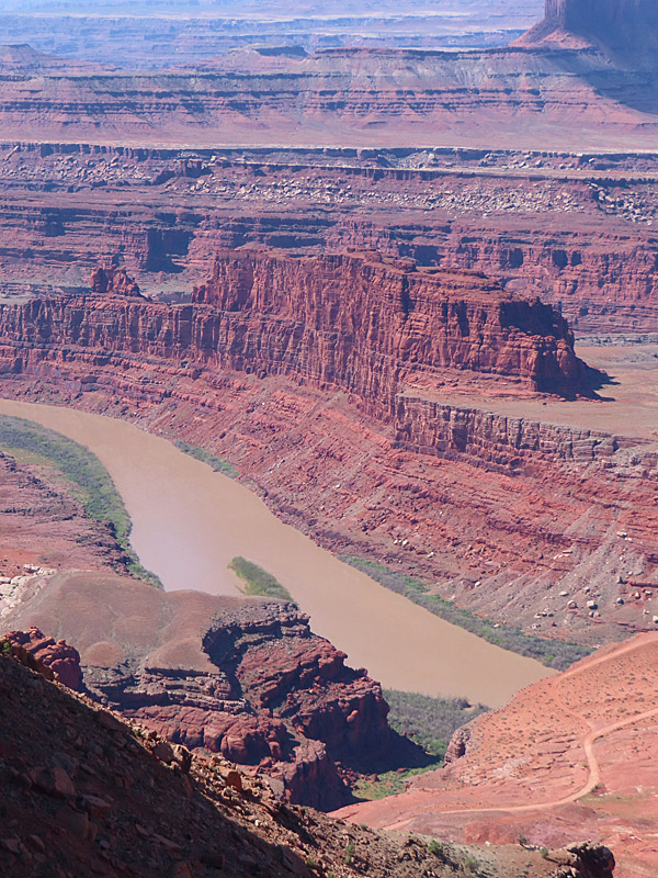
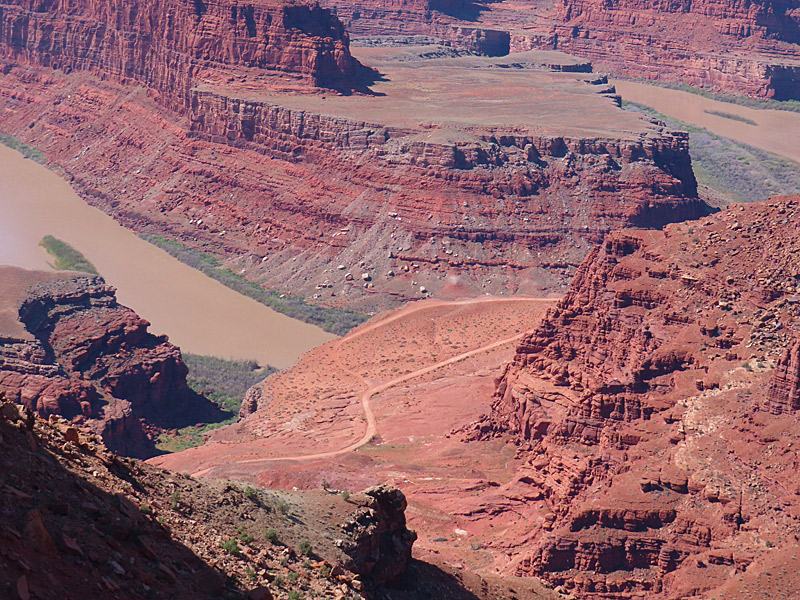
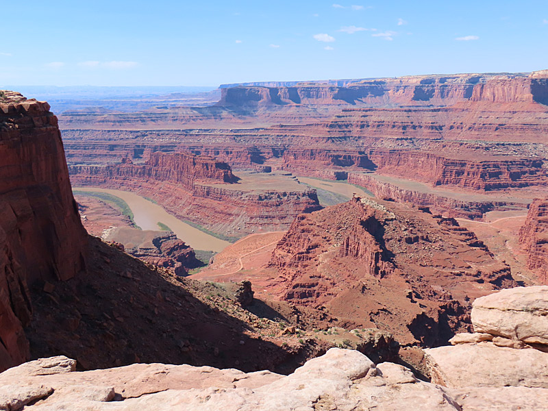
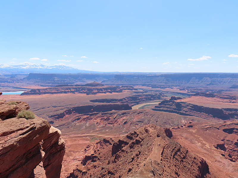
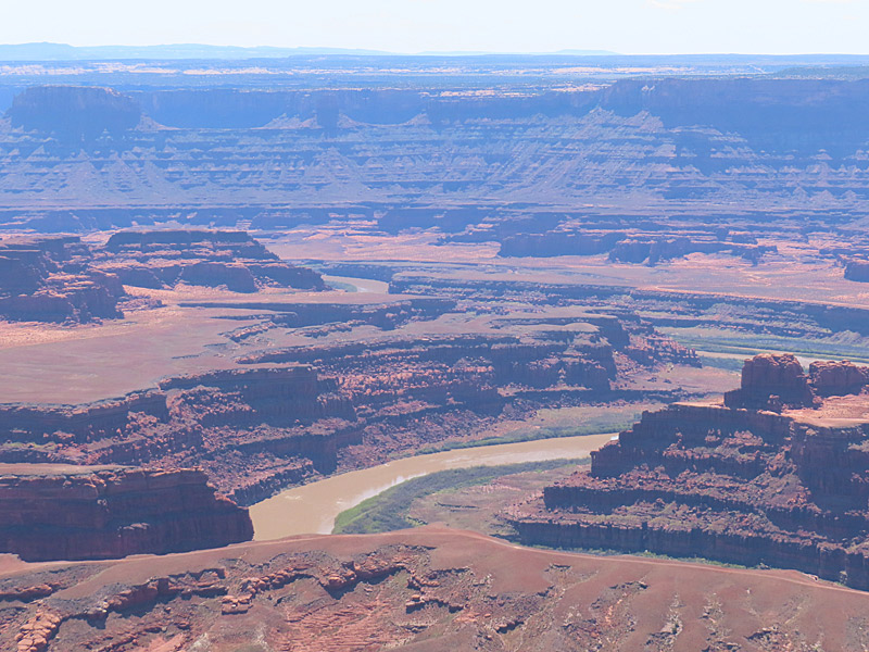
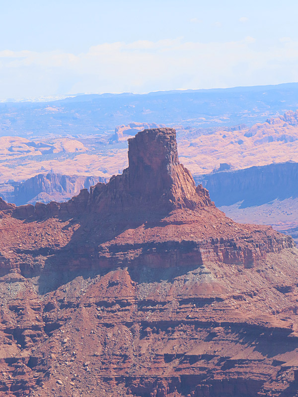
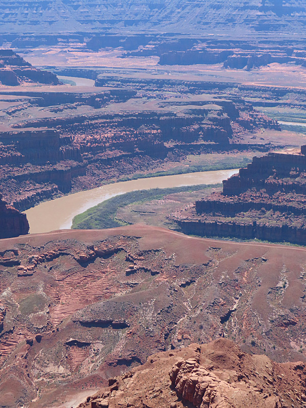
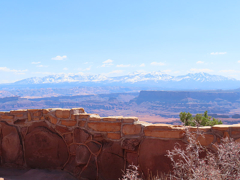
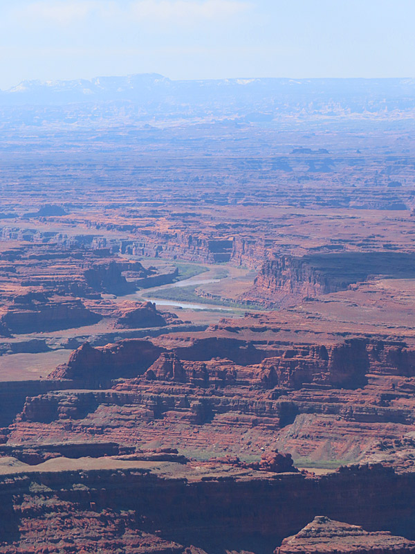
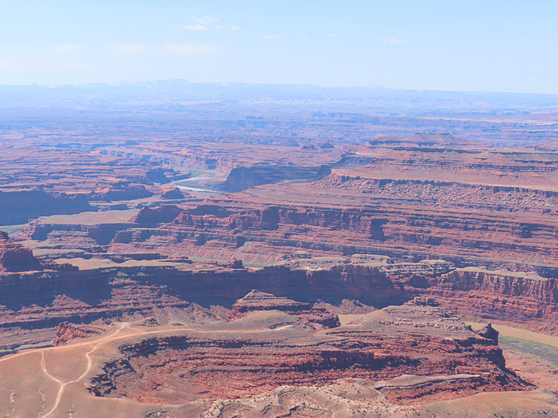
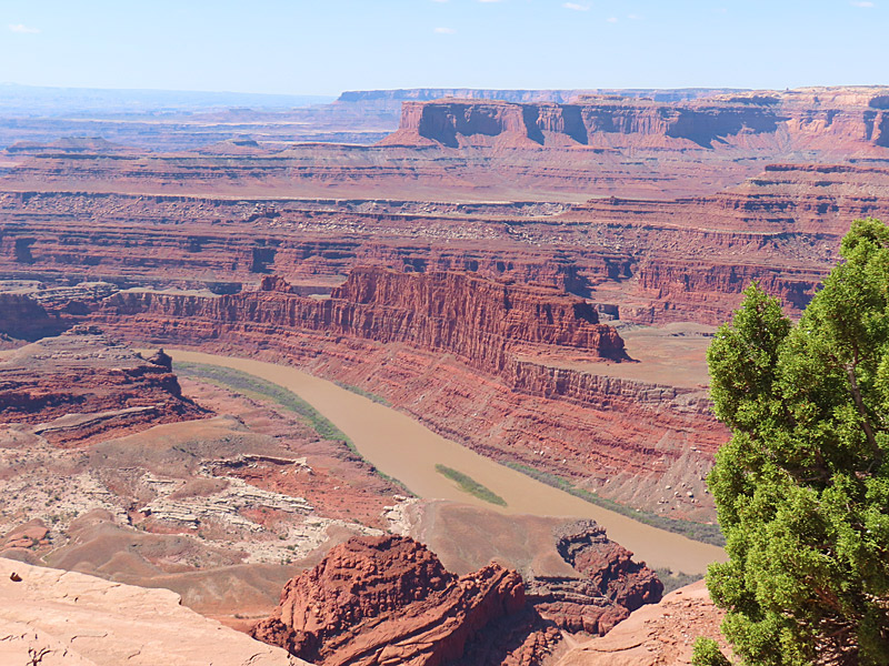
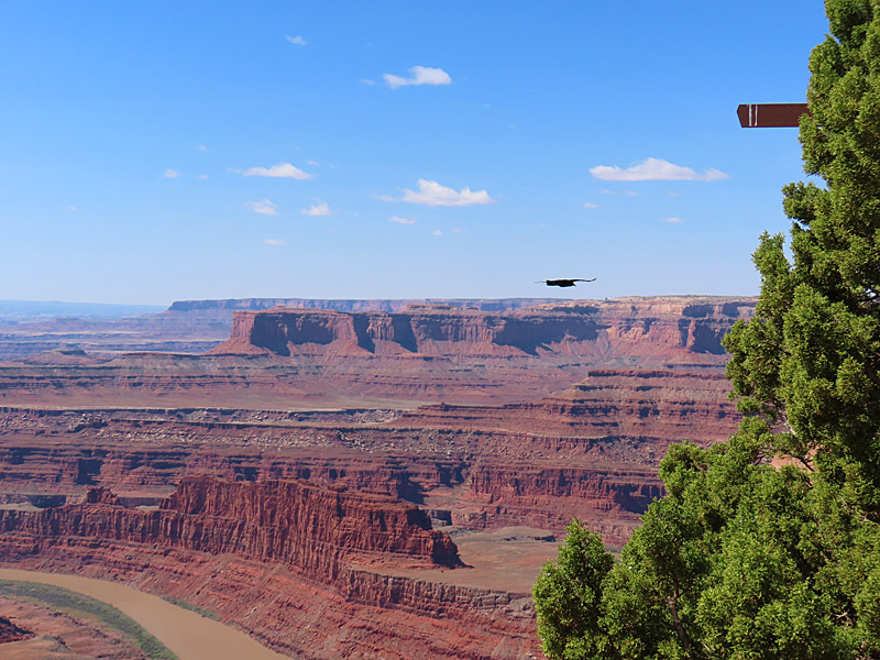
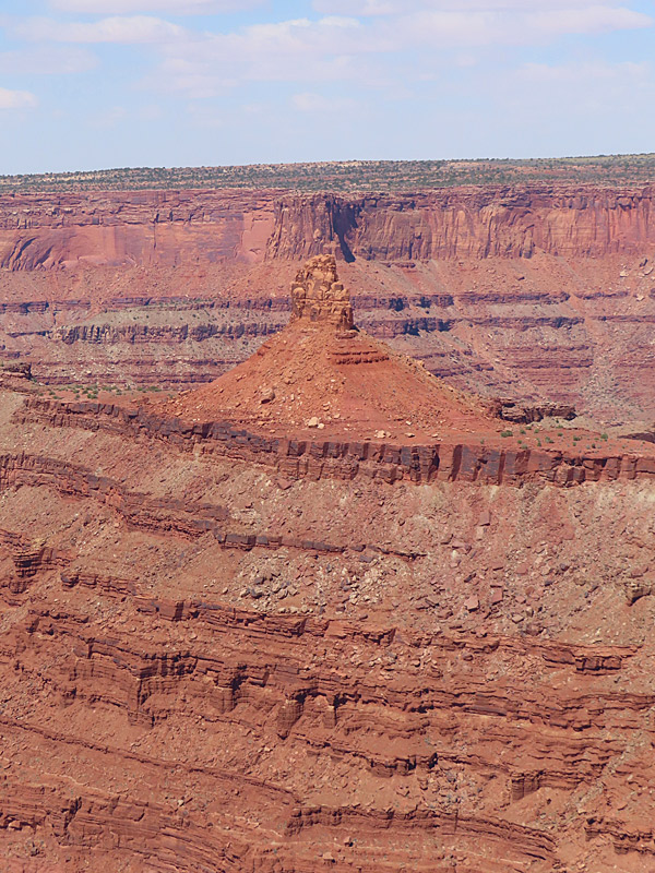
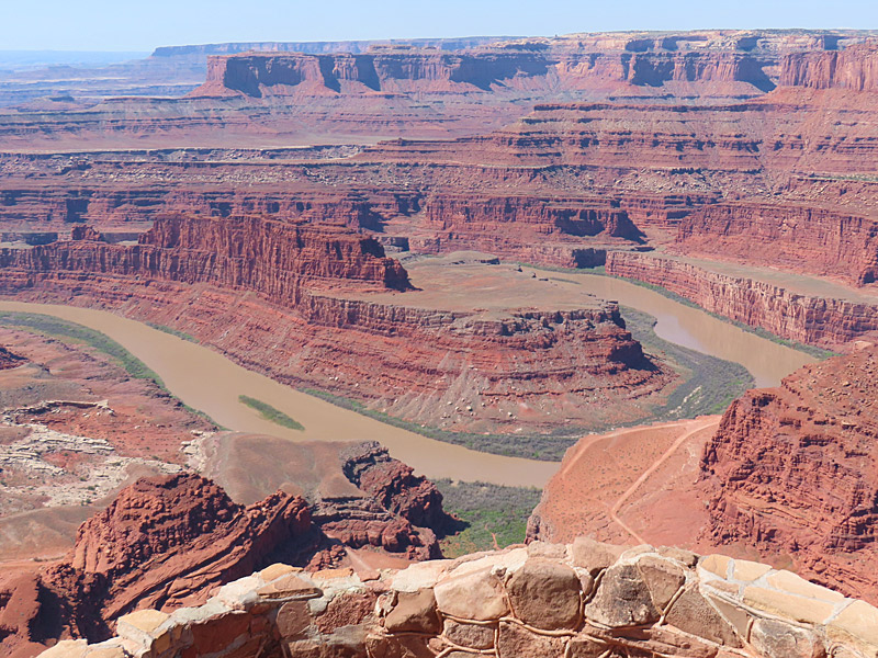
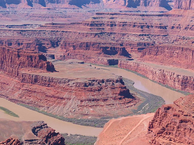
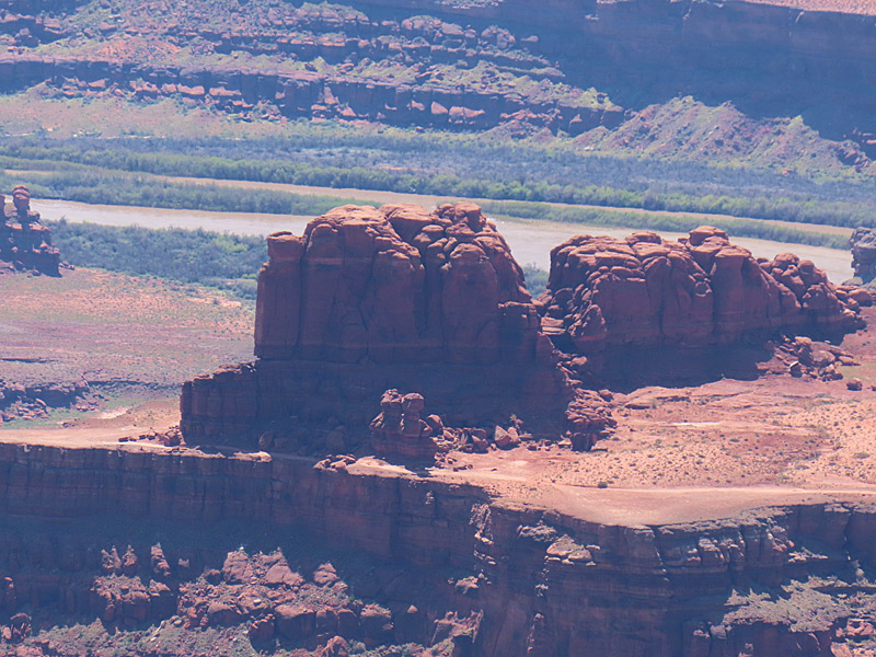
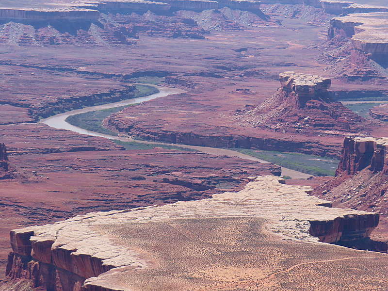
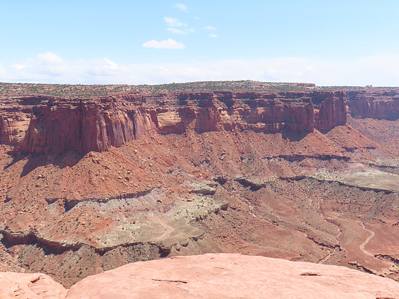
Dead Horse Point State Park near Moab, Utah, in April, 2023. – photo by Joe AlexanderDead Horse Point itself sits at 5,900 feet in elevation and looks down over a U-turn in the Colorado River about 2,000 feet below.
The park is west of Moab, Utah, and located is a short distance from the northern entrance to Canyonlands National Park.
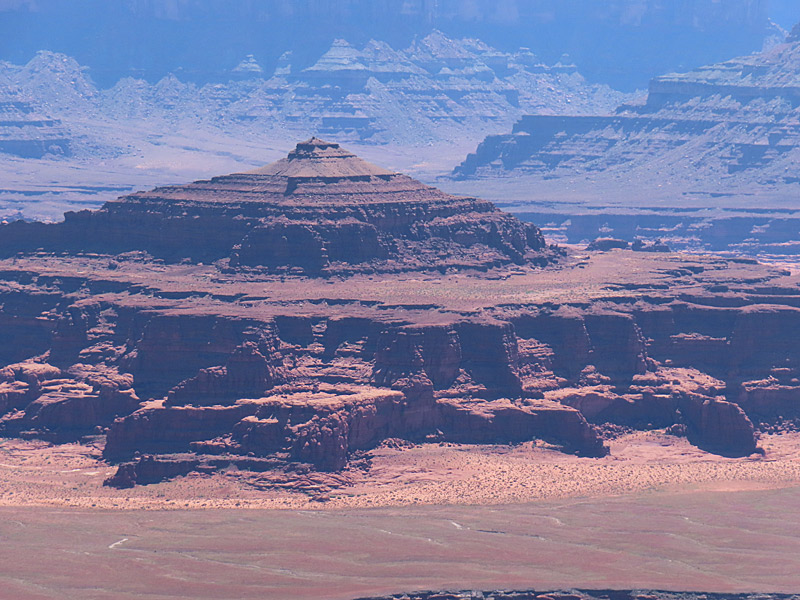
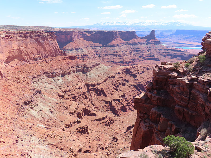
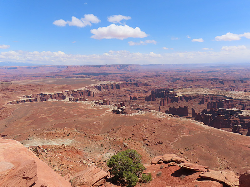
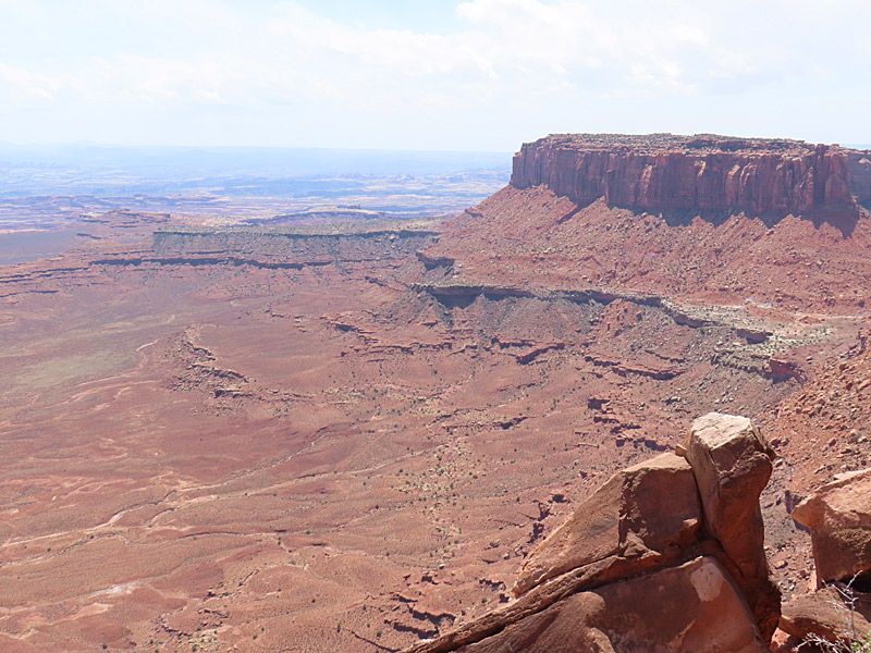
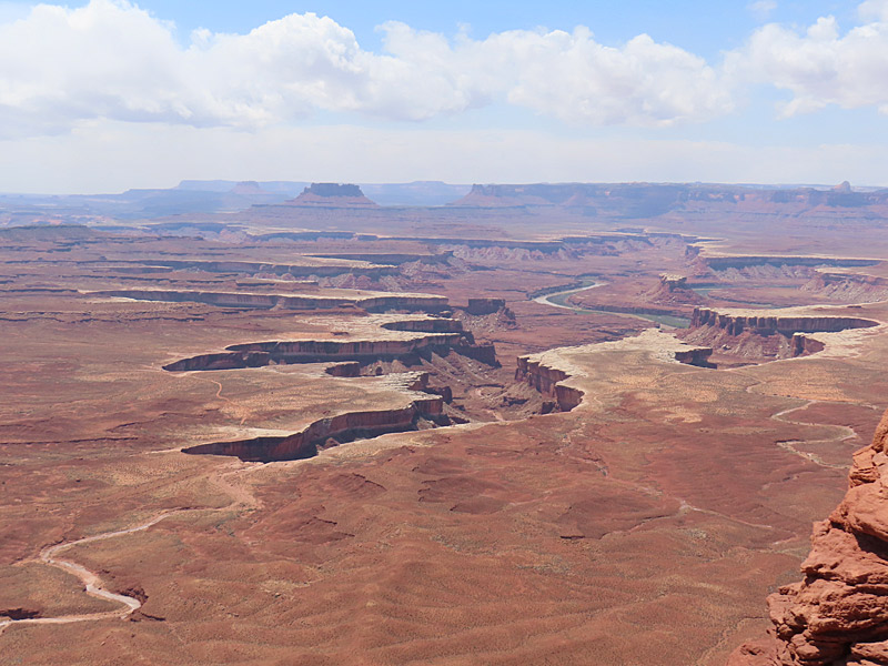
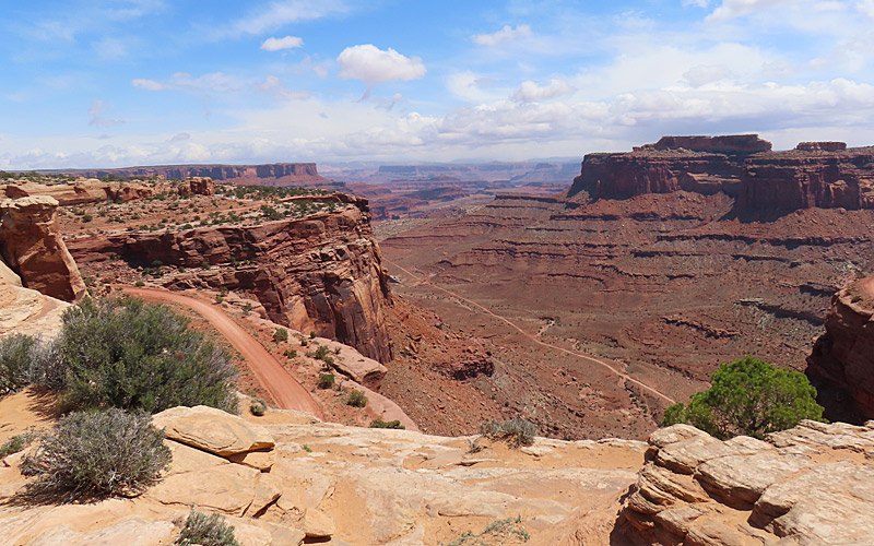
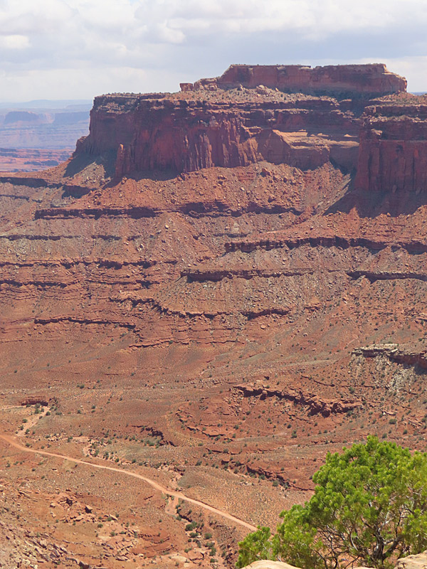
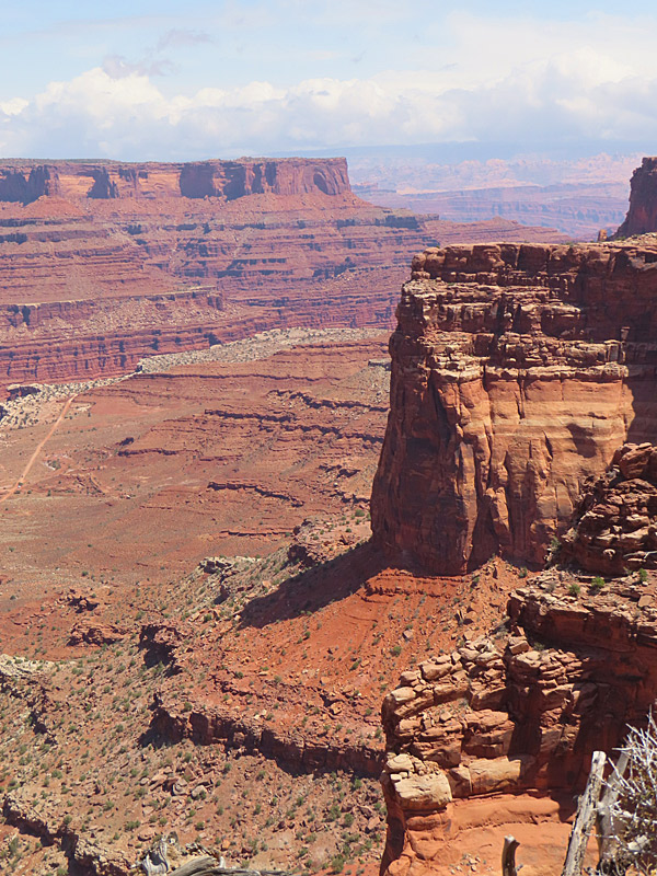
View from the Green River Overlook at Island in the Sky mesa in Canyonlands National Park. – photo by Joe AlexanderThe Canyonlands National Park road across the Island in the Sky mesa includes pullouts with great views at Green River Overlook and Grand View Overlook.
There are plenty of trails and camping is available at the park.
You reach the Canyonlands Island in the Sky visitor center by taking Highway 313 southwest from Highway 191, which is the north-south highway to and from Moab, Utah.
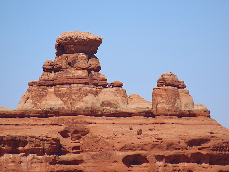
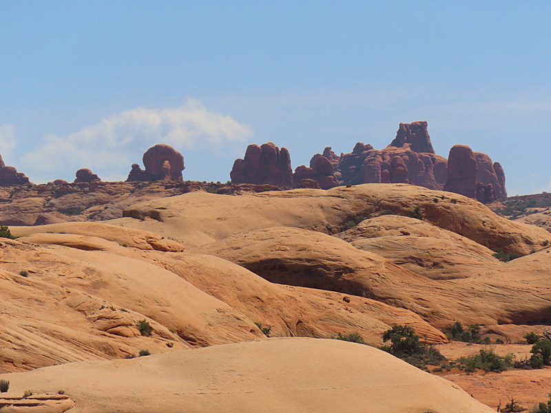
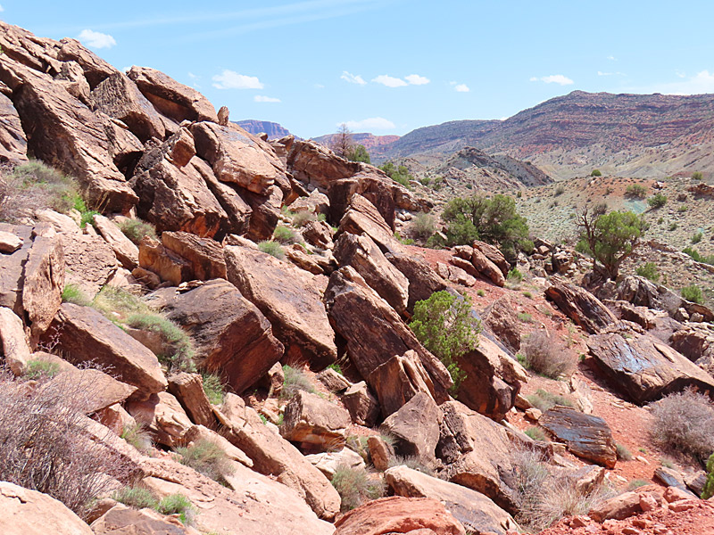
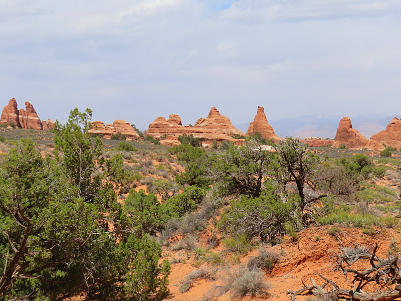
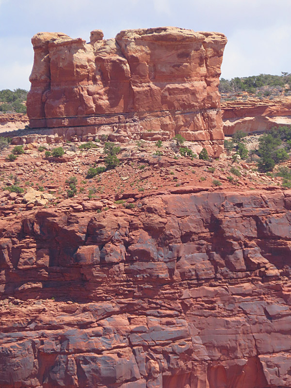
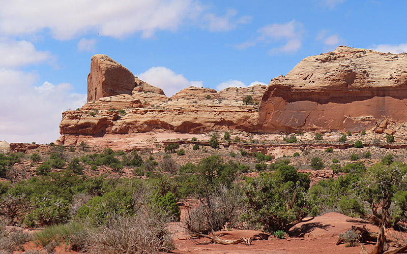
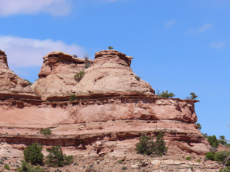
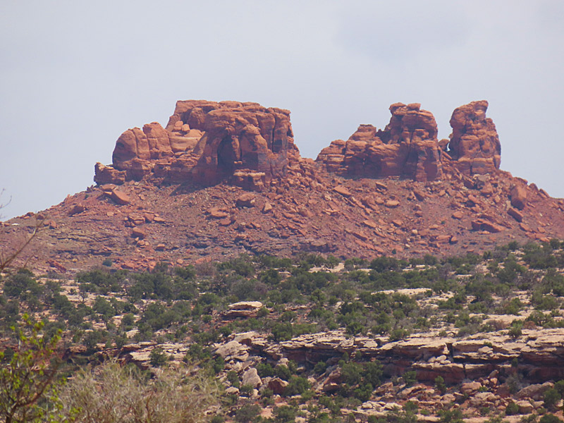
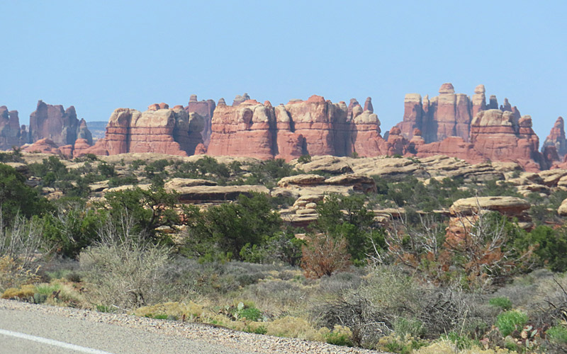
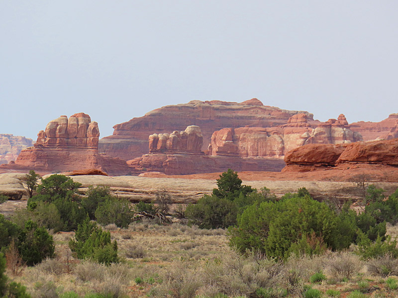
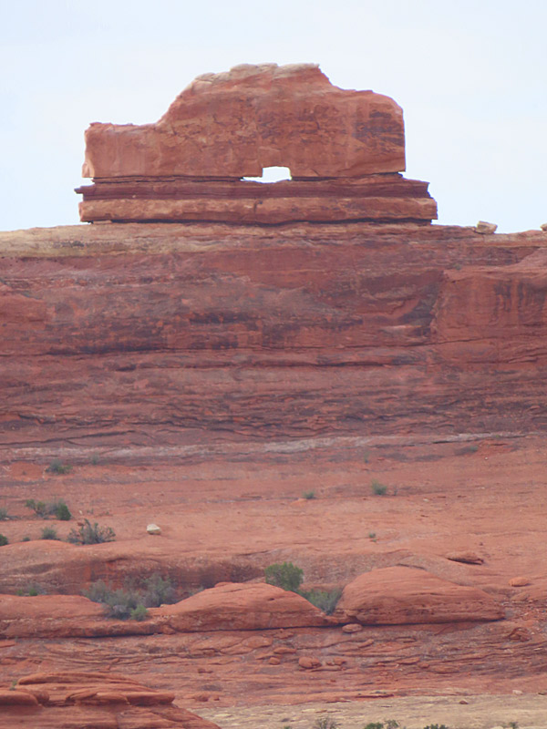
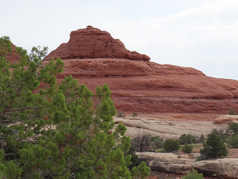
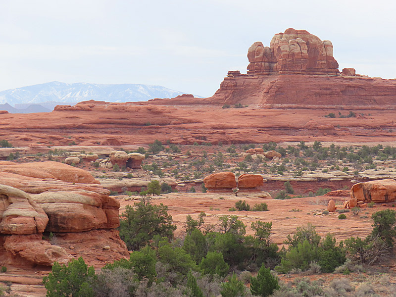
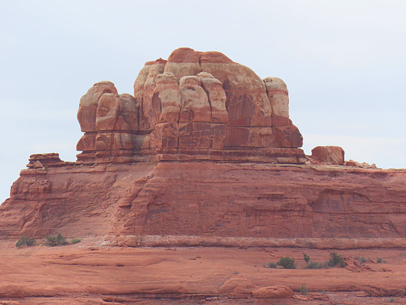
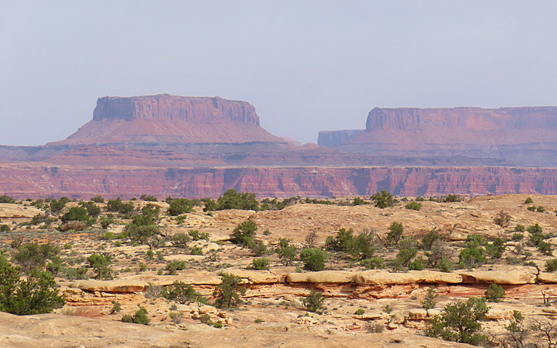
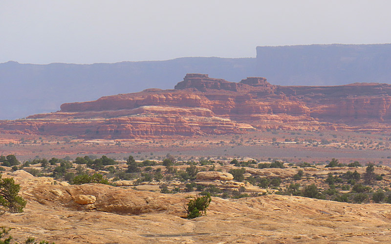
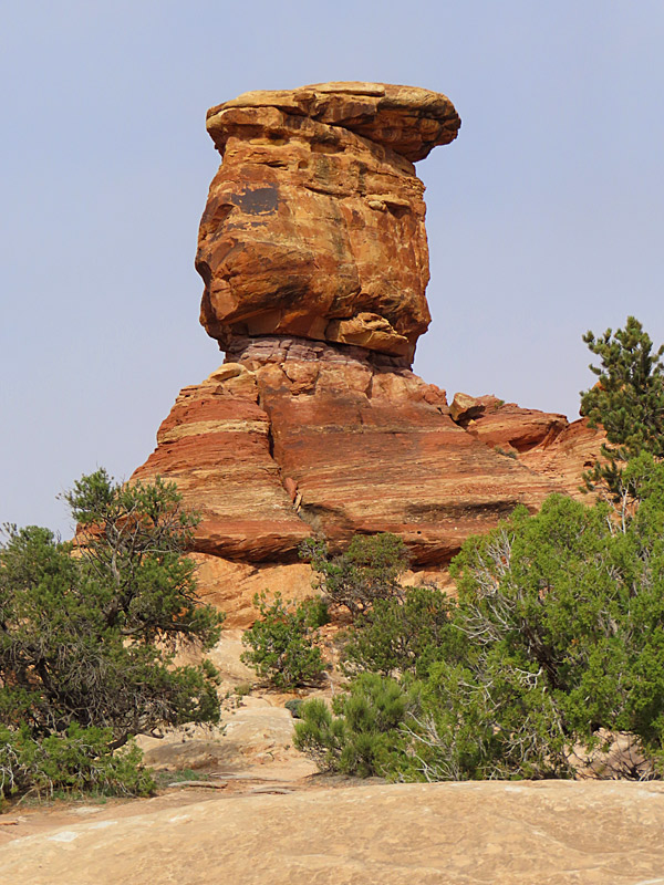
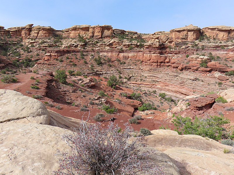
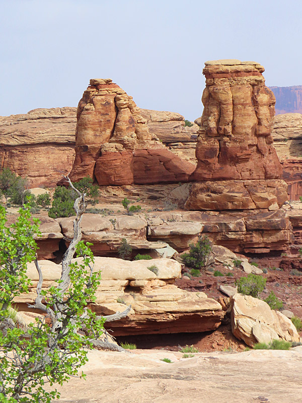
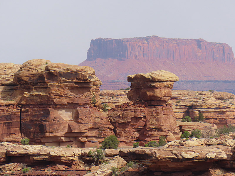
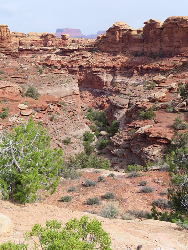
The Needles District of Canyonlands National Park in Utah. – photo by Joe AlexanderThere is more than one entrance to Canyonlands National Park in southern Utah.
The southeast part of Canyonlands is about an hour and a half drive heading south from Moab, Utah. That entrance takes you to the park district called The Needles.
According to Earth Trekkers, the park gets its name from clusters of sandstone spires.
The morning I got here, the sky ranged from cloudy when I first showed up to mostly sunny but still hazy. I never got any really blue-blue skies, and then it clouded up again. My best shots were in that stretch of about an hour when I got at least some sun and sort of blueish skies.
I apparently headed out just in time. Heading north I drove through a momentary now flurry and then some wind and rain. That cleared up in time for me to make an afternoon visit to the north side of the park.
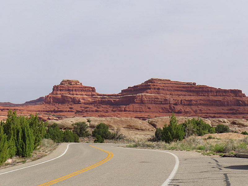
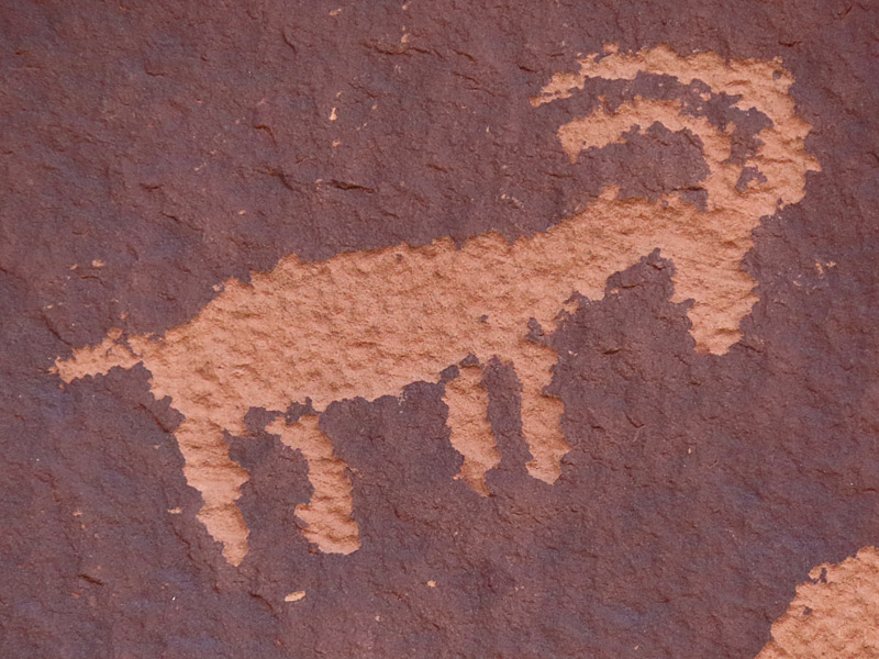
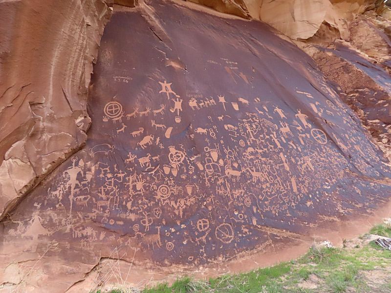
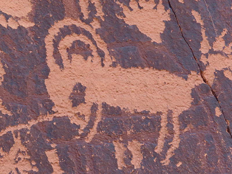
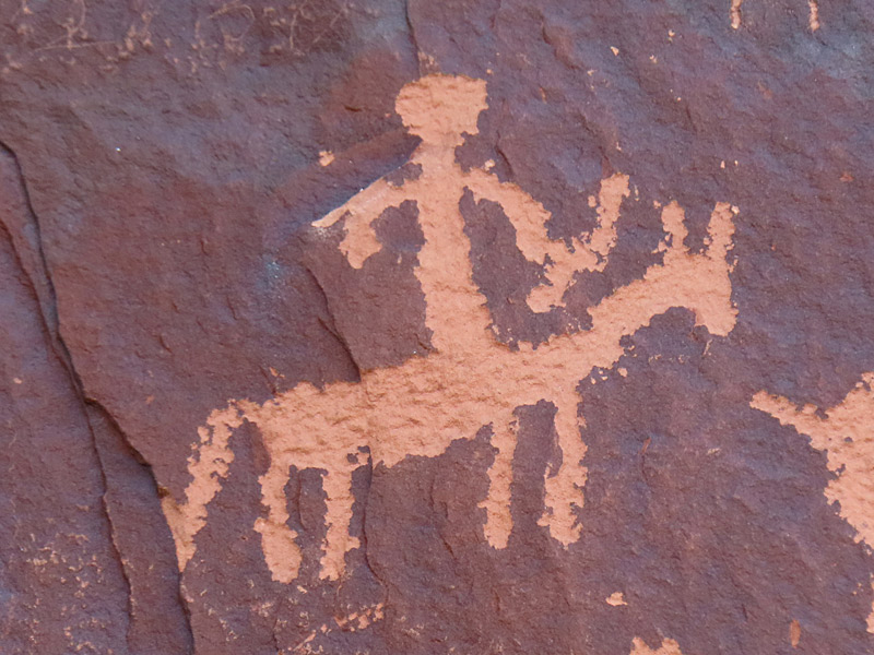
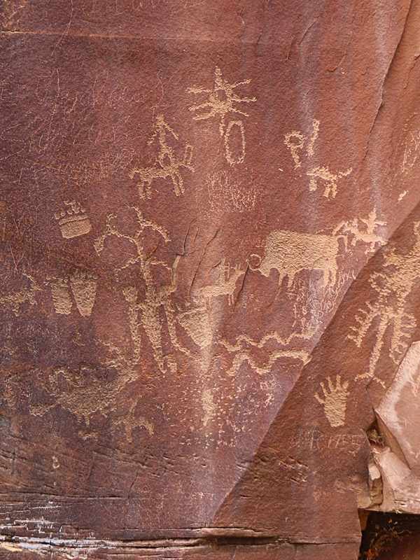
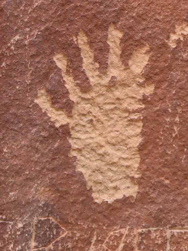
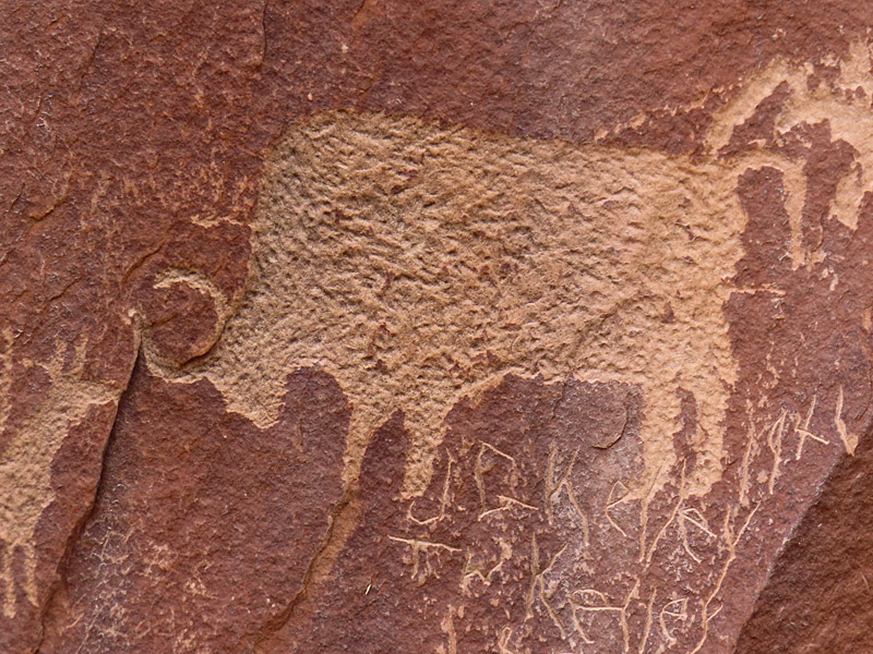
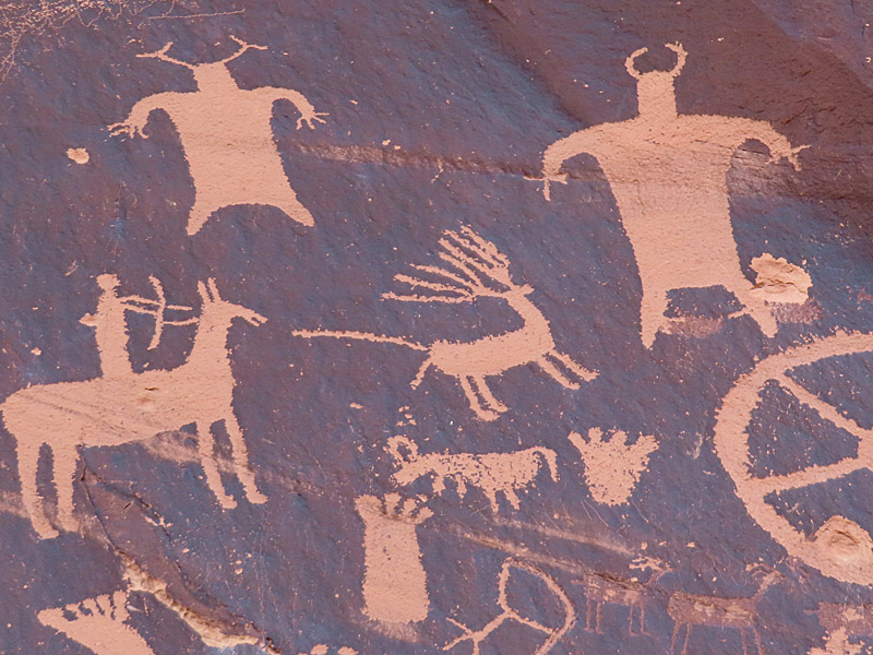
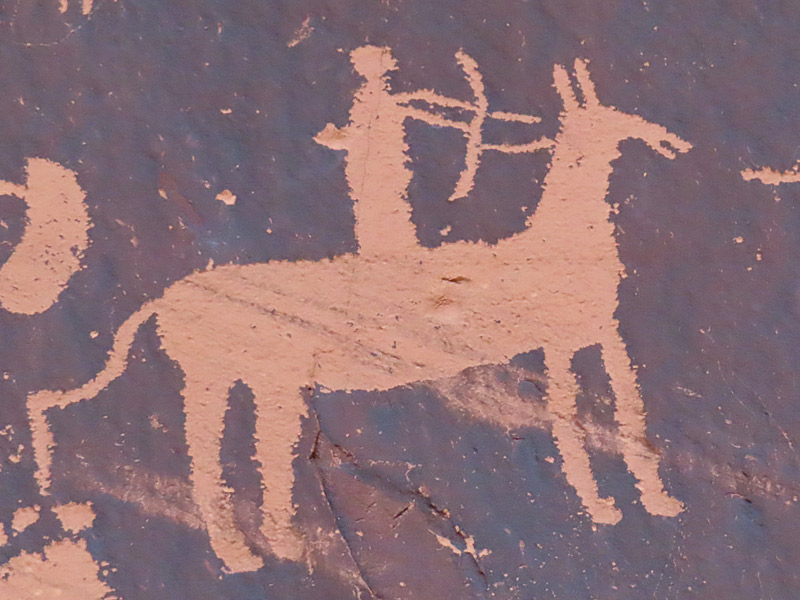
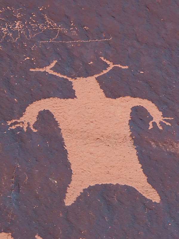
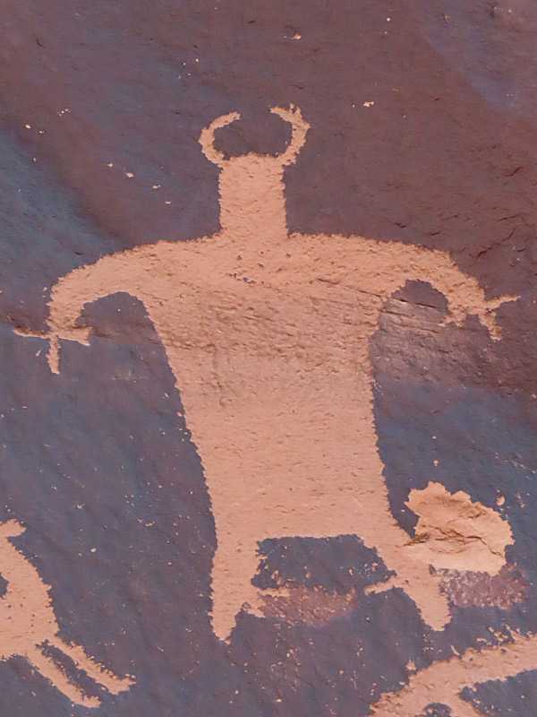
Newspaper Rock Archaeological Site near Canyonlands National Park. – photo by Joe AlexanderAs you drive toward the southeastern entrance to Canyonlands National Park in southern Utah, you pass a very small pulloff for Newspaper Rock.
It’s worth the stop.
The carvings in the rock are estimated to be up to 2,000 years old.
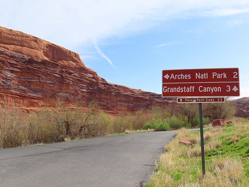
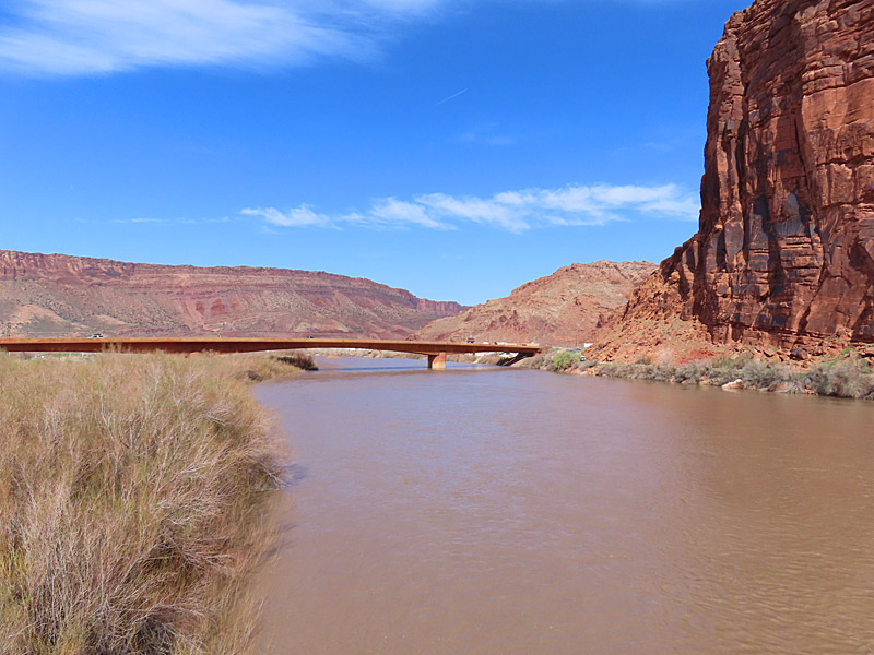
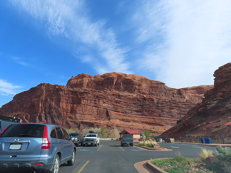
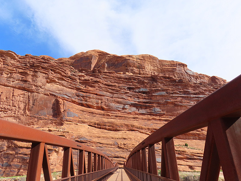
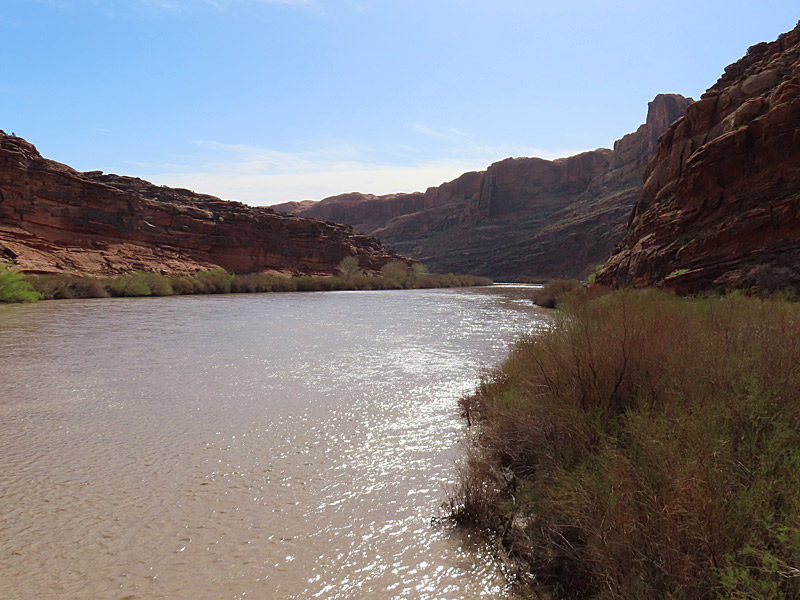
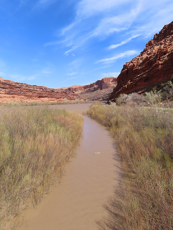
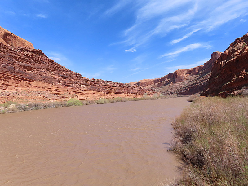
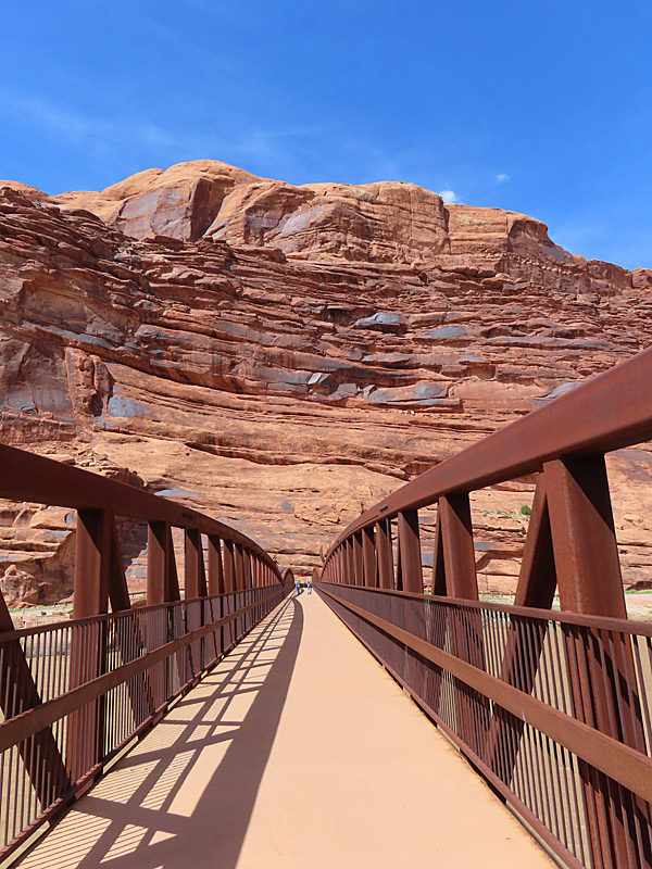
The Colorado River flows under Utah’s Highway 191 between Moab and the entrance to Arches National Park. – photo by Joe AlexanderUtah’s Highway 191 crosses over the Colorado River within walking distance of the Moab city limits and about three miles from the entrance to Arches National Park.
There is a nice place to park next to the river called Lions Park and Transit Hub. The stop also has restrooms and access to a paved bicycle lane.