Utah road trip: Driving from Salt Lake City to Moab

Snow in the mountains along Highway 6. Driving from Salt Lake City to Moab in southern Utah. - photo by Joe Alexander
Snow in the mountains along Highway 6. Driving from Salt Lake City to Moab in southern Utah. – photo by Joe Alexander
I left the interstates behind me for most of the drive from Salt Lake City to southern Utah.

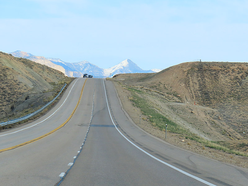
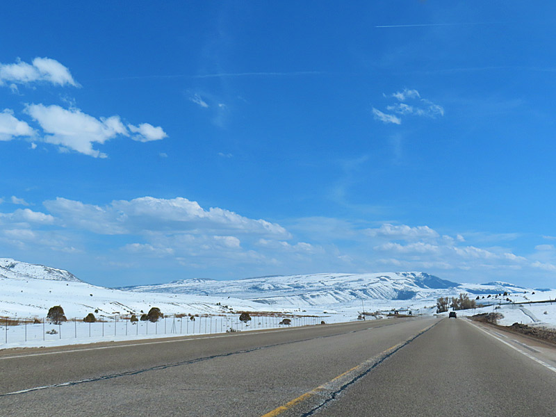
The drive through the mountains on Highway 6 takes you to elevations as high as 7,477 feet. I see a sign along the way that marks Soldiers Summit at 7,477 feet. There is snow around the road at the higher elevations, but the road itself is clear and dry.

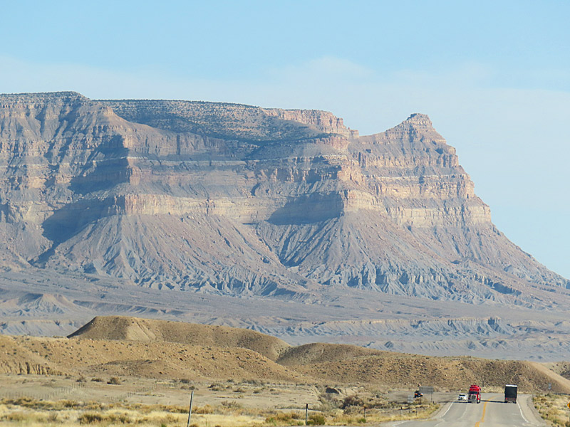
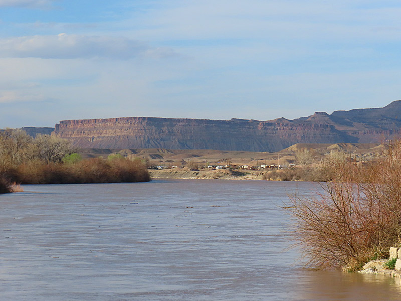
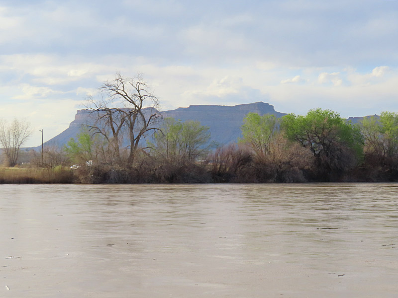
I’m back down to around 4,000 feet when I hit Interstate 70 near Green River, Utah, and head east about 20 miles to pick up Highway 191 south toward Moab. I passed the entrances to the northern section of Canyonlands National Park and about 10 miles later Arches National Park shortly before I reached the Moab city limits.

Back down to lower elevations. Driving from Salt Lake City to Moab in southern Utah. - photo by Joe Alexander
Back down to lower elevations. Driving from Salt Lake City to Moab in southern Utah.
Almost there. Driving from Salt Lake City to Moab in southern Utah. - photo by Joe Alexander
Almost there. Driving from Salt Lake City to Moab in southern Utah.

Utah road trip: Green River

The Green River running through the town of Green River, which is northwest of Moab. - photo by Joe Alexander
The Green River running through the town of Green River, which is northwest of Moab. – photo by Joe Alexander
The town of Green River in southern Utah takes its name from the river that flows through it.

Including some hotels, restaurants, a couple of truck stops and a few brightly colored fruit stands, the town of Green River sits near the intersection of Highway 6, heading northwest to southeast, and Interstate 70, which runs west to east through northern Colorado to Denver and all the way to the East Coast.

The river is fed by snow melt and has a lot of water flowing through it in late April. Green River joins up with the Colorado River south of here in Canyonlands National Park.

Utah road trip: Flying over the Rocky Mountains from Denver to Salt Lake City

Wheels up in Denver as we take off for Salt Lake City. - photo by Joe Alexander
Wheels up in Denver as we take off for Salt Lake City. – photo by Joe Alexander
The Denver airport is a major hub and it’s a relatively short flight from there to Salt Lake City, the second step of my road trip.

I actually got a better view of downtown Denver flying out of the airport there and heading northwest than I did on the flight into Denver coming from the south.

If you live in certain parts of the south and especially if you live near the coast, you might not get to see a lot of snow or mountains. Flying over the Rocky Mountains gives you a close-up view of both.

Flying over the Rocky Mountains on the way from Denver to Salt Lake City. - photo by Joe Alexander
Flying over the Rocky Mountains on the way from Denver to Salt Lake City.