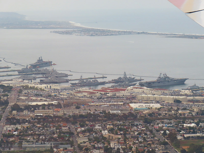
Moments before landing from the east, I got a good look at downtown, San Diego Bay, the Coronado Bridge, a number of naval ships and we came in right over Interstate 5.
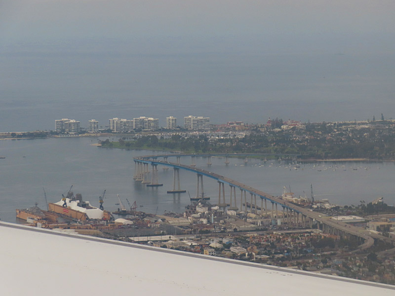
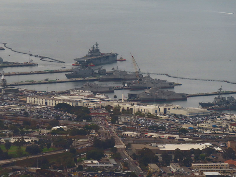
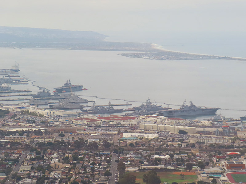
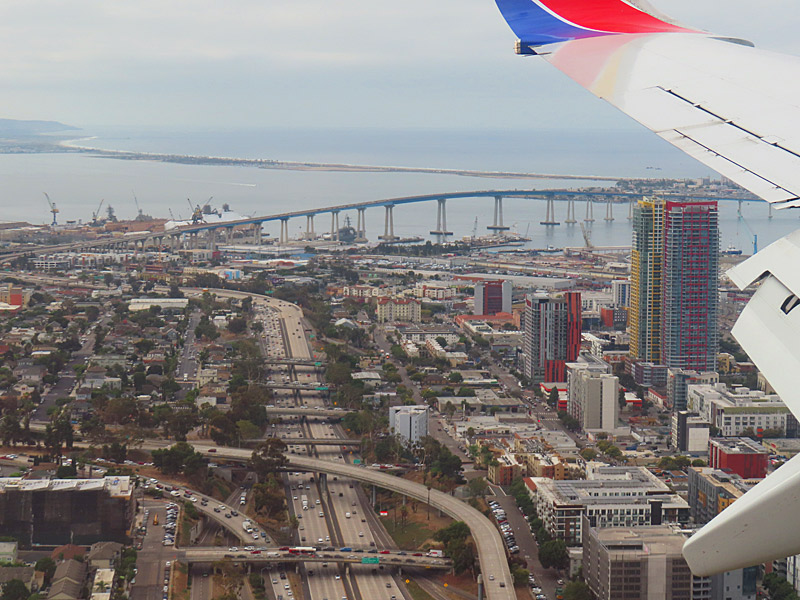
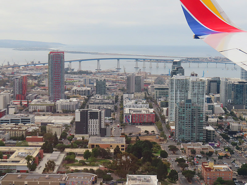
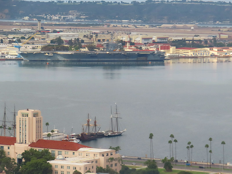
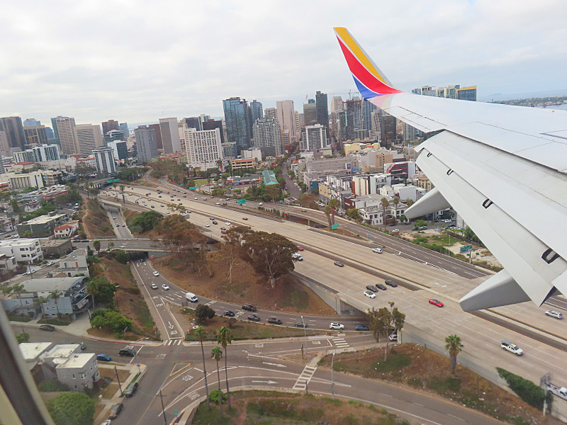
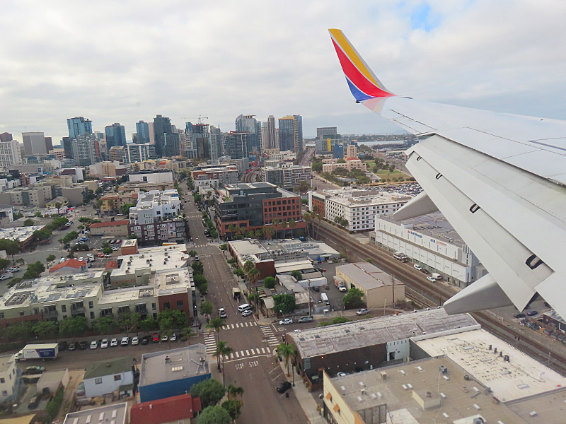
Moments before landing from the east, I got a good look at downtown, San Diego Bay, the Coronado Bridge, a number of naval ships and we came in right over Interstate 5.
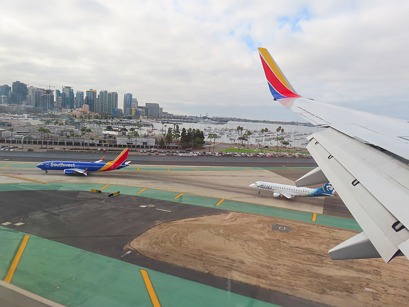
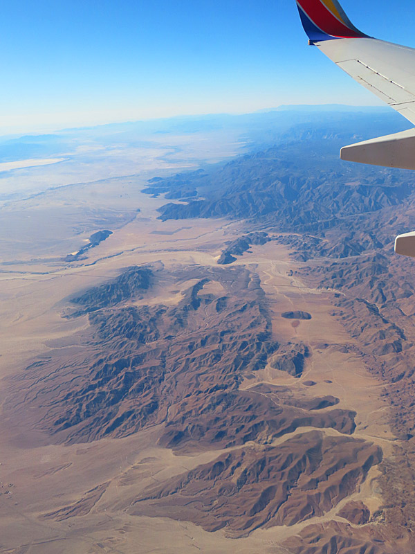
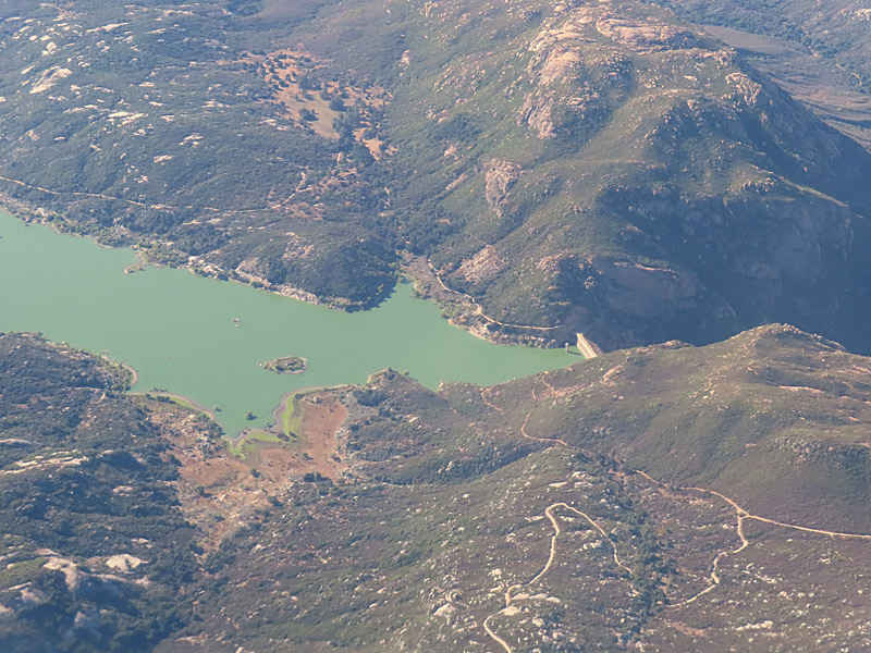
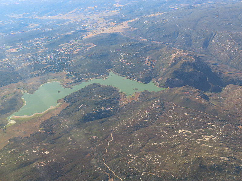
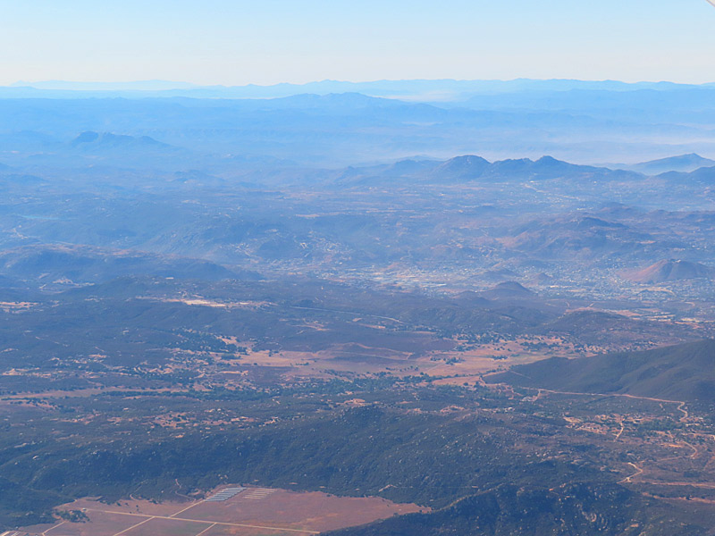
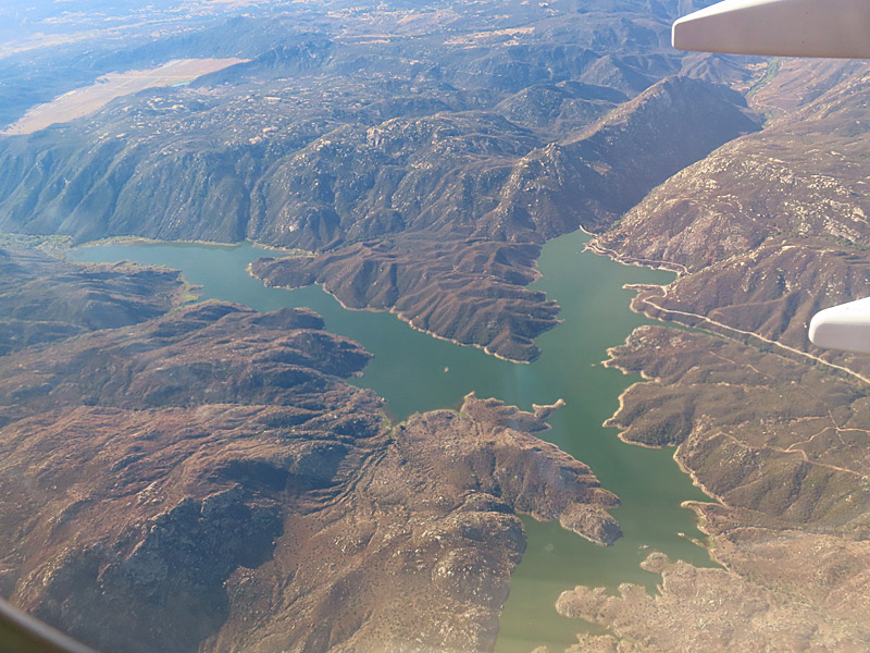
I was sitting on the left side of the plane. That gave me a good view of the south toward Mexico.
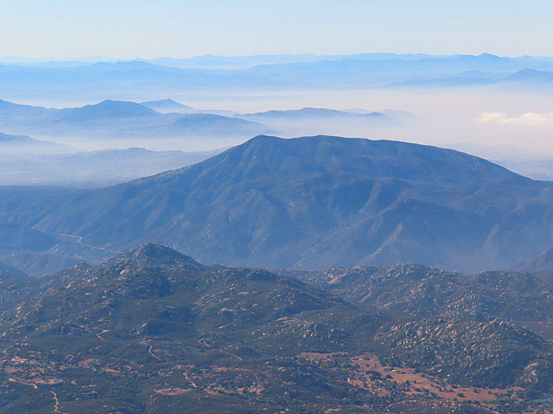
Not long before landing, I could see the desert, some mountains in the direction of Mexico and a couple of reservoirs that I wasn’t able to identify.
I’m guessing the dry looking areas I saw were part of the Sonoran Desert including the Colorado Desert. I might have even seen a little bit of the Anza-Borrego Desert State Park.
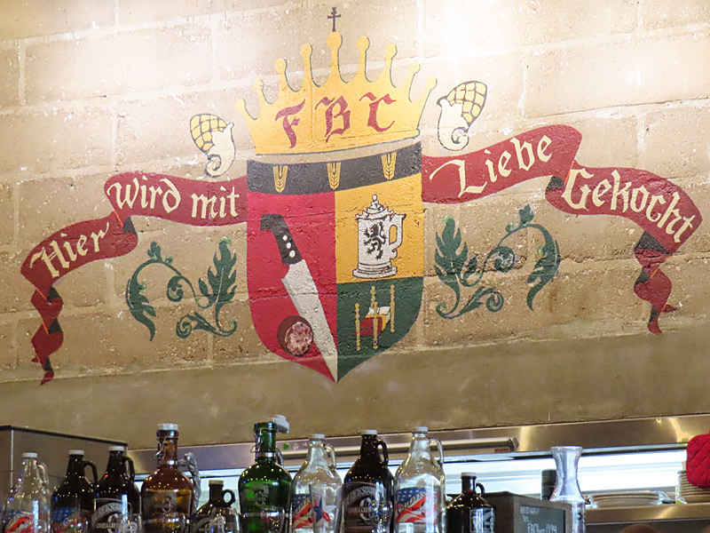
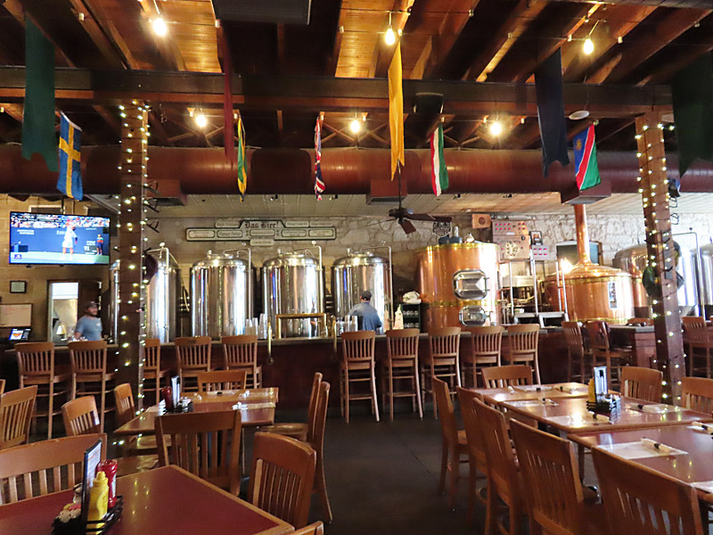
I stopped in at the Fredericksburg Brewing Company, the oldest operating brew pub in Texas.
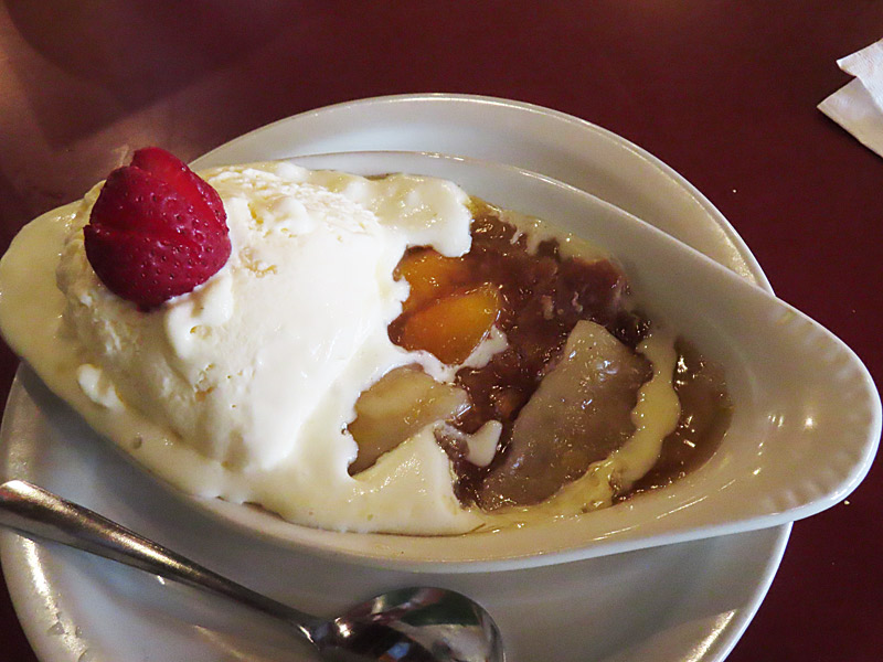
You know you’re in Fredericksburg when the restaurant not only makes its own beer, but also made from scratch peach cobbler.
“Hier Wird mit Liebe Gekocht” means “cooking with love here”.
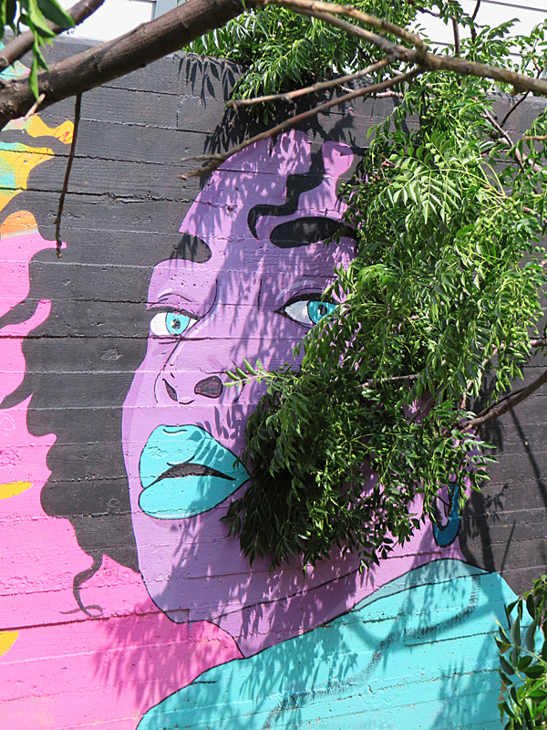
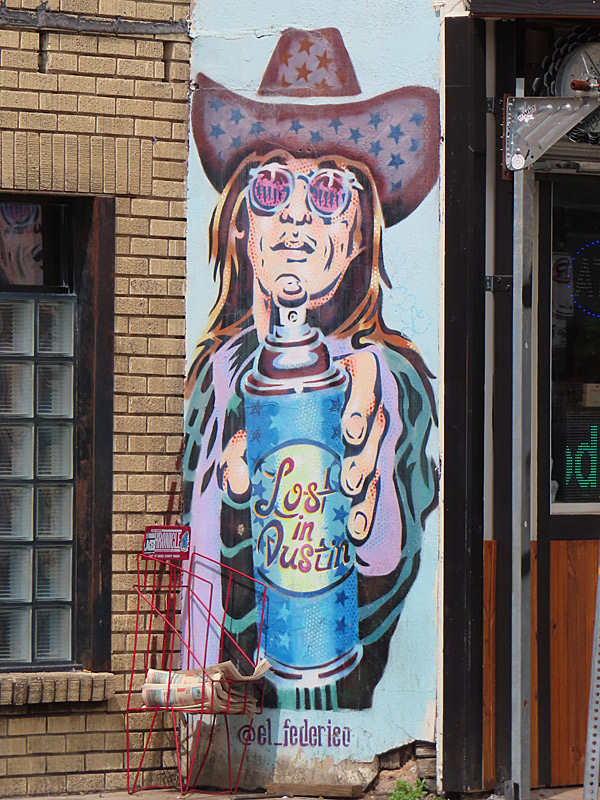
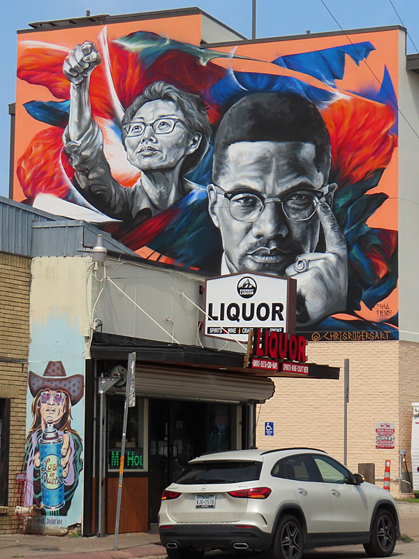
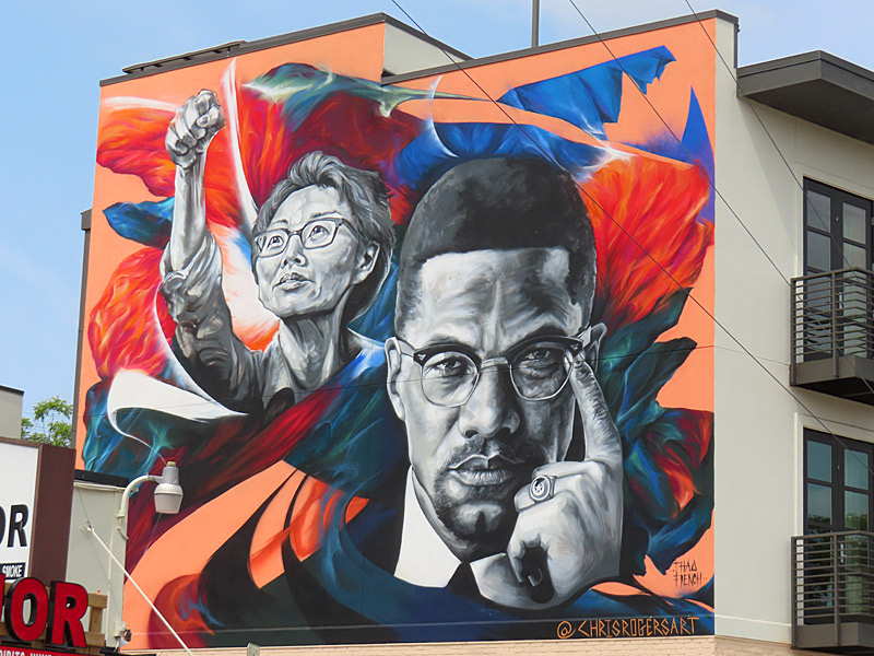
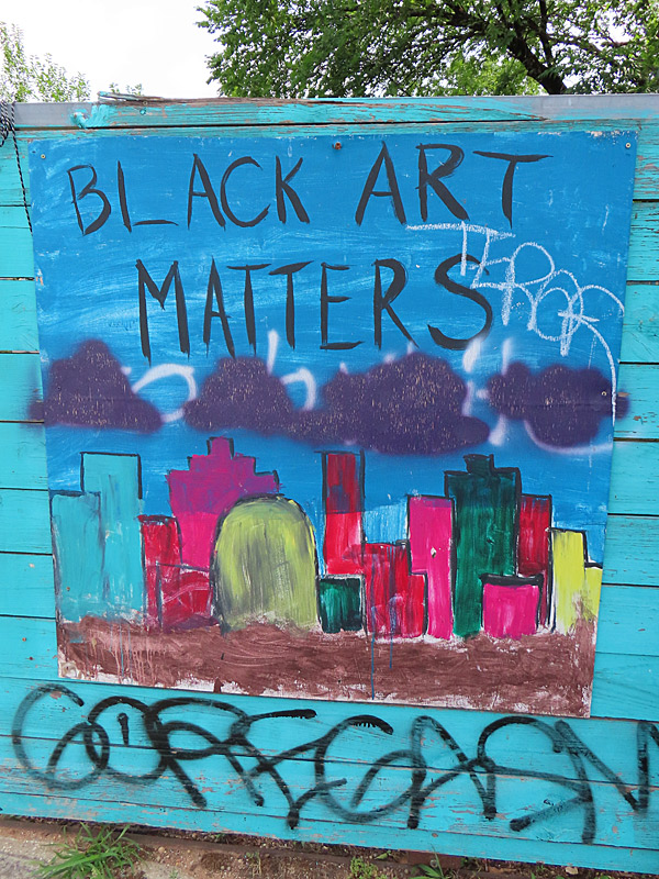
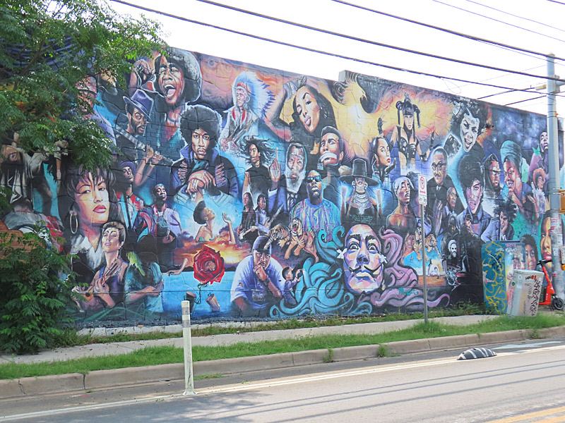
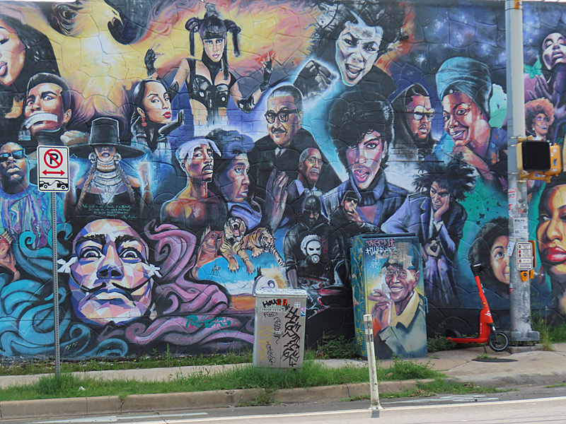
All of the art work here is on or south of 11th street and east of Interstate 35.
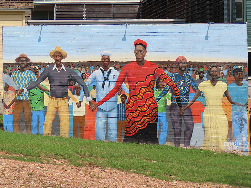
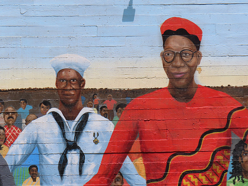
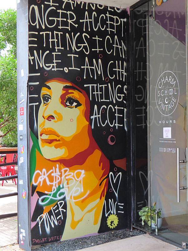

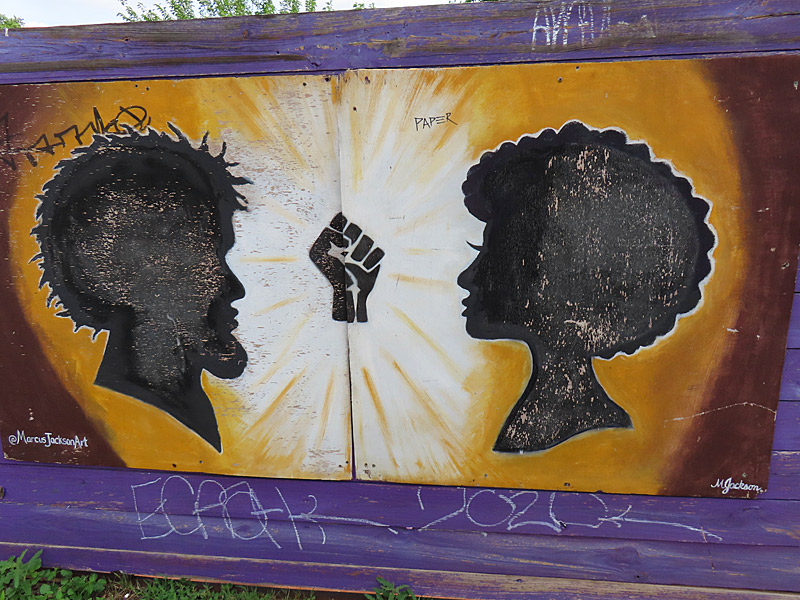
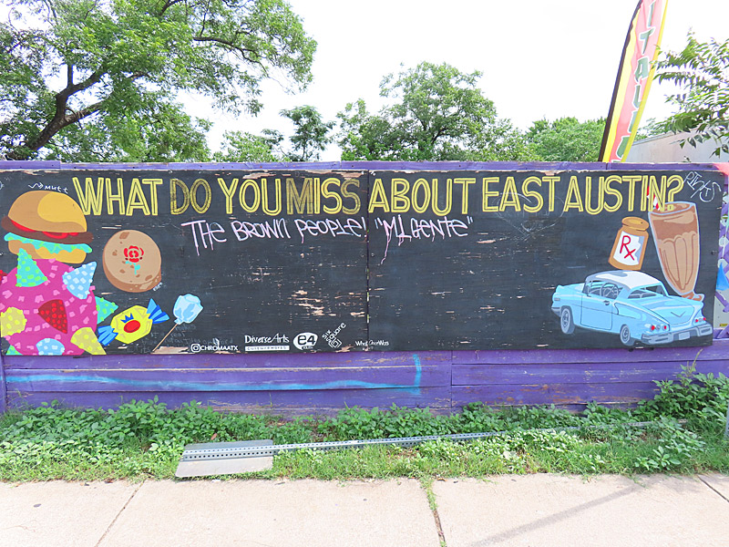
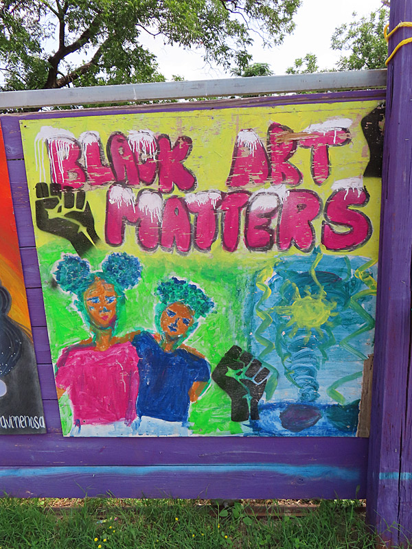
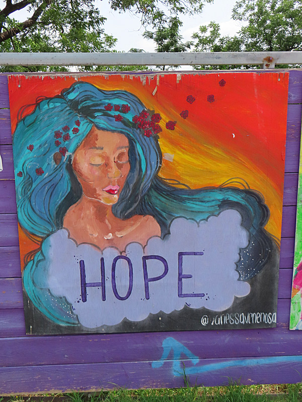
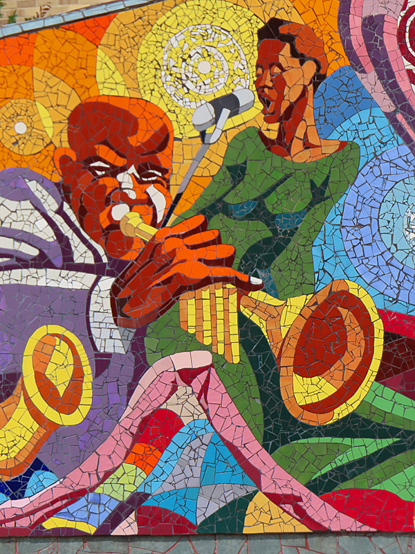
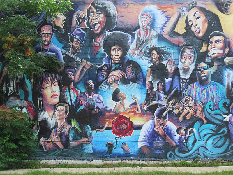
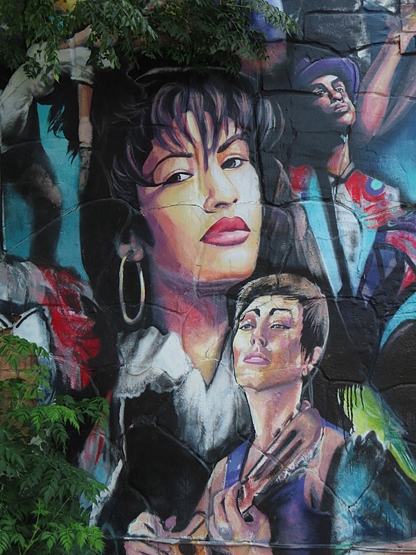
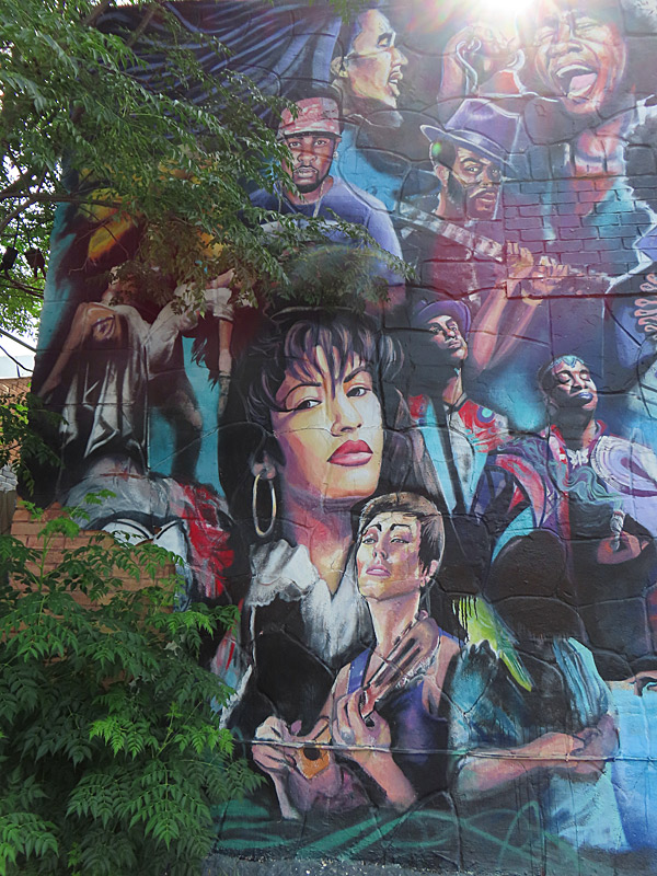
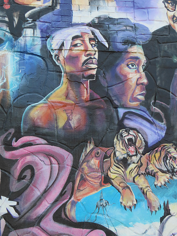
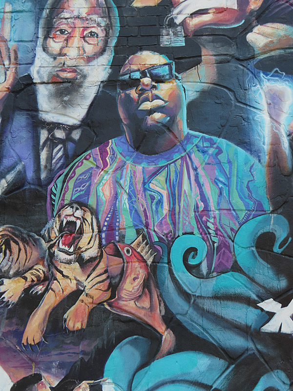
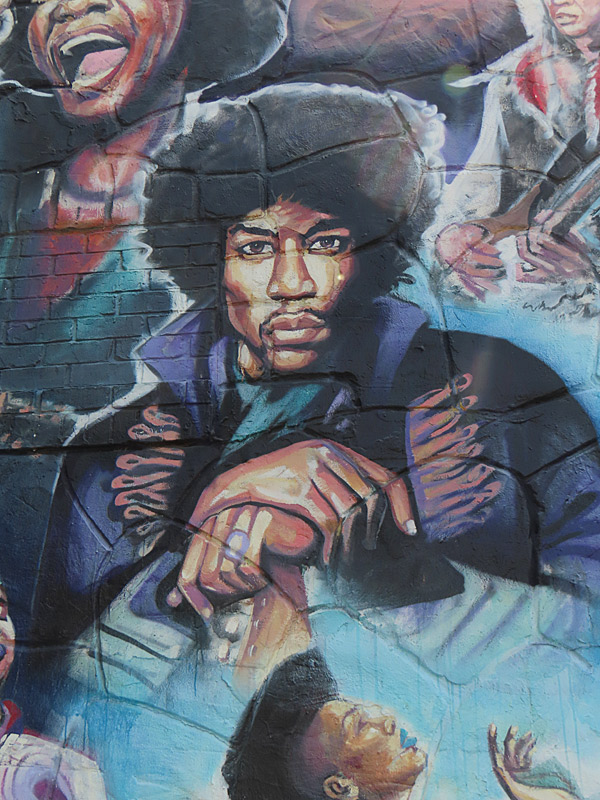
The “We Rise” mural on the corner of 12th Street and Chicon is one of the best known.
Images within the mural include Selena, Jimi Hendrix, Biggie Smalls, James Brown, Tupac Shakur, Prince and many others.
– story about We Rise mural on e4youth.org
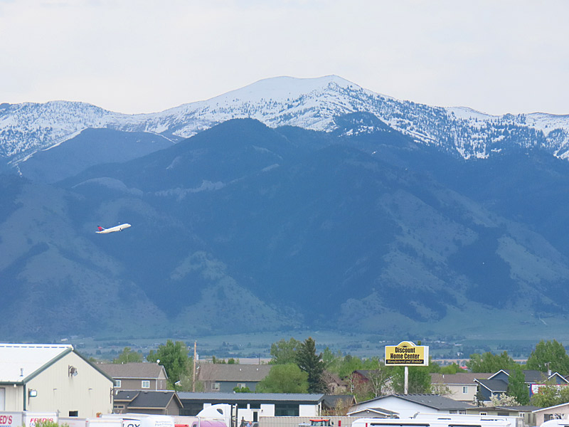
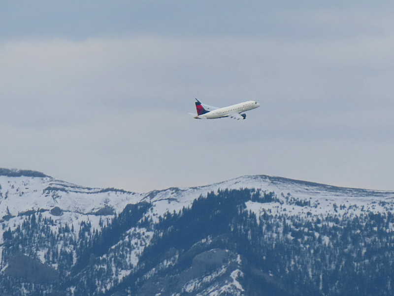
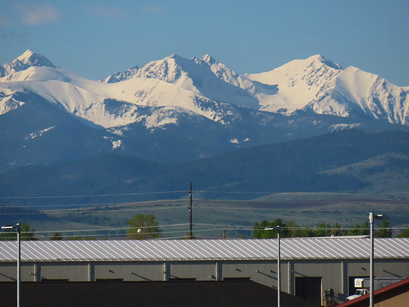
The afternoon before I headed home, I was killing time at the hotel as I saw a plane that had just taken off was ascending to the east with the mountains in the background.
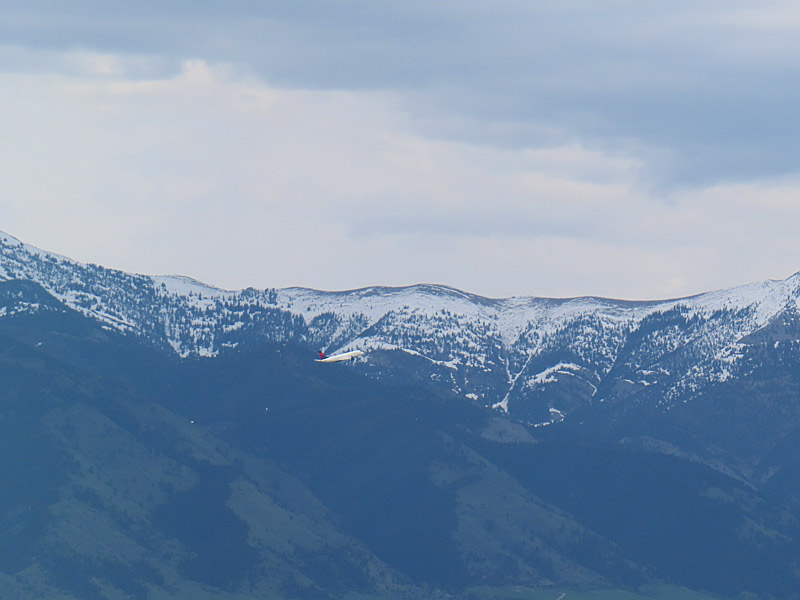
About 24 hours later, I would be making a similar departure.
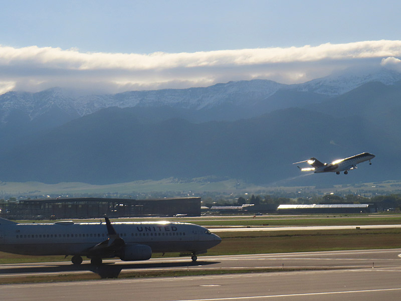
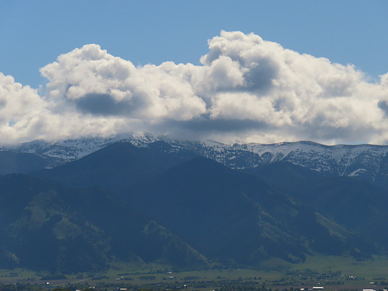
The day I headed home, I ended up spending a few extra hours at the airport due to airline issues. (That’s a whole other story). So naturally I took a few more photos. Fortunately, the concourse has lot of really big windows.
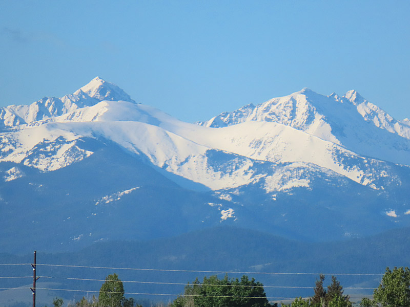
You can see the Bridger Range as you look to the north. Those are the mountains in the background as the planes take off. To the south and southeast is the Gallatin Range. Both the mountains to the north and south of Bozeman are part of a cluster of six mountain ranges that make up the Gallatin National Forest
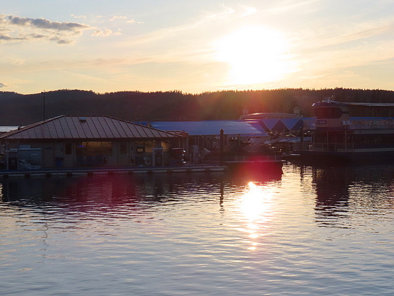
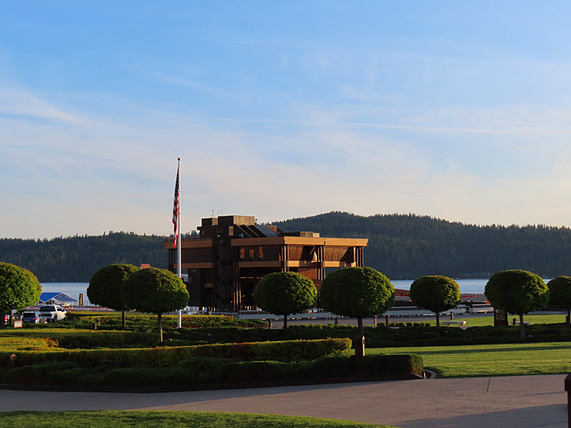
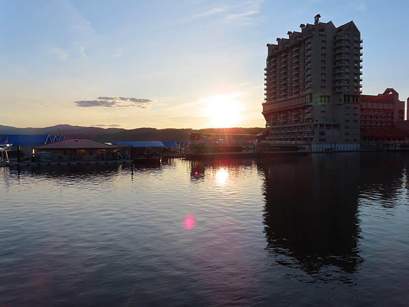
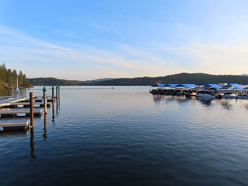
I didn’t have a perfect angle to photograph the sunset on the water, but it was a pretty place that was an easy walk from the downtown shops and restaurants.
I was here is the third week of May, but I have a feeling this could be a pretty happening area in the summer.
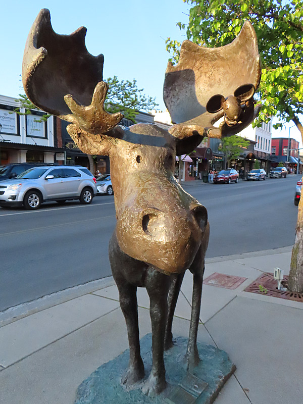
As a sidenote, I don’t think I have ever seen as many T-shirts and other swag with Bigfoot on them as I did in the shops in Coeur D’Alene. He seems to be very popular (or at least profitable) here.
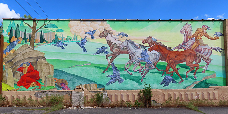
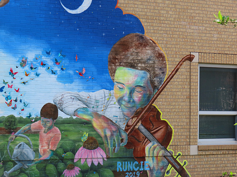
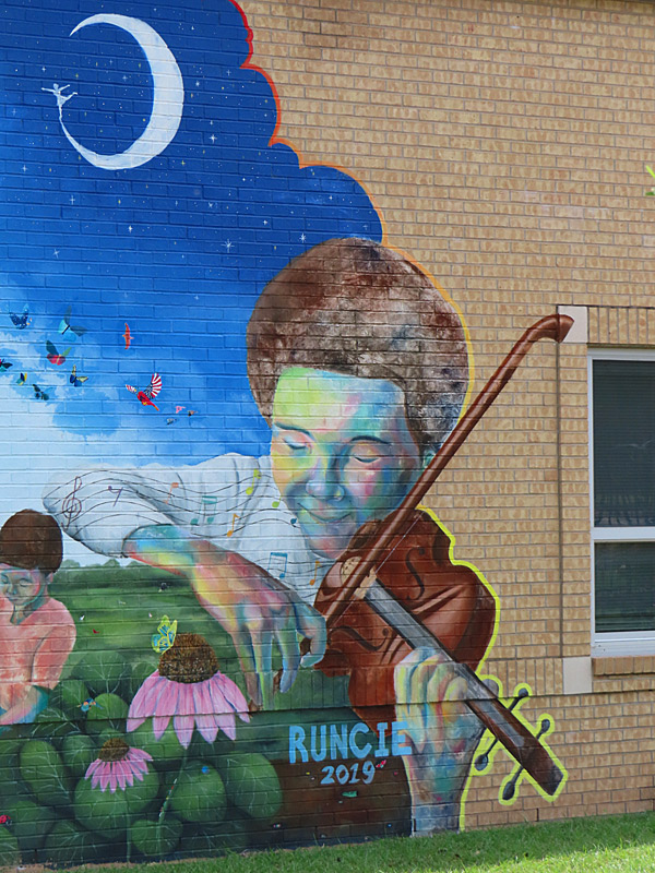
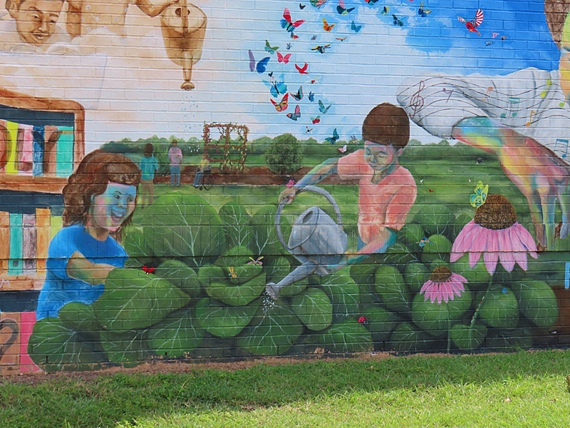
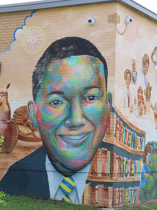
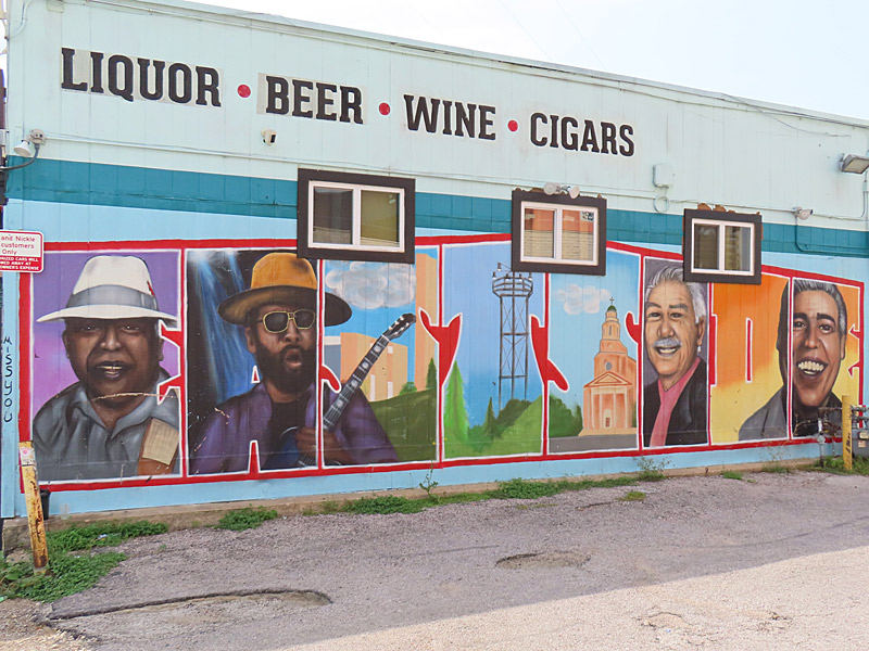
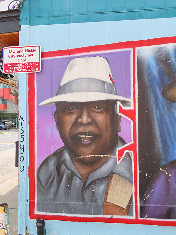
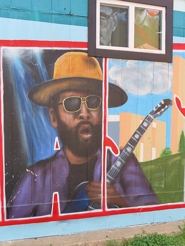
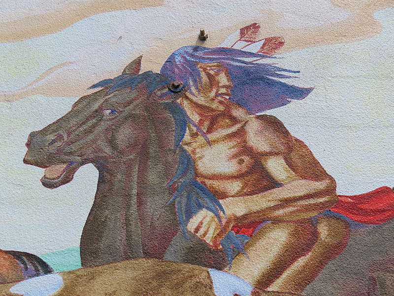
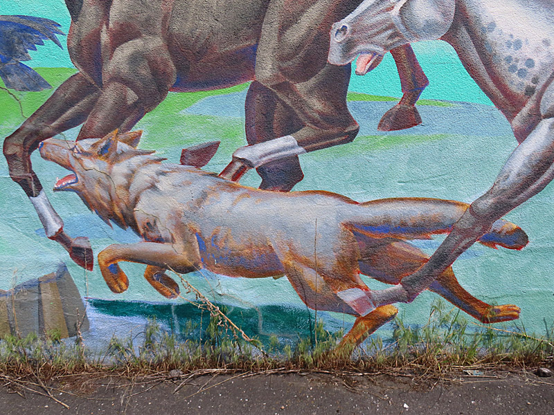
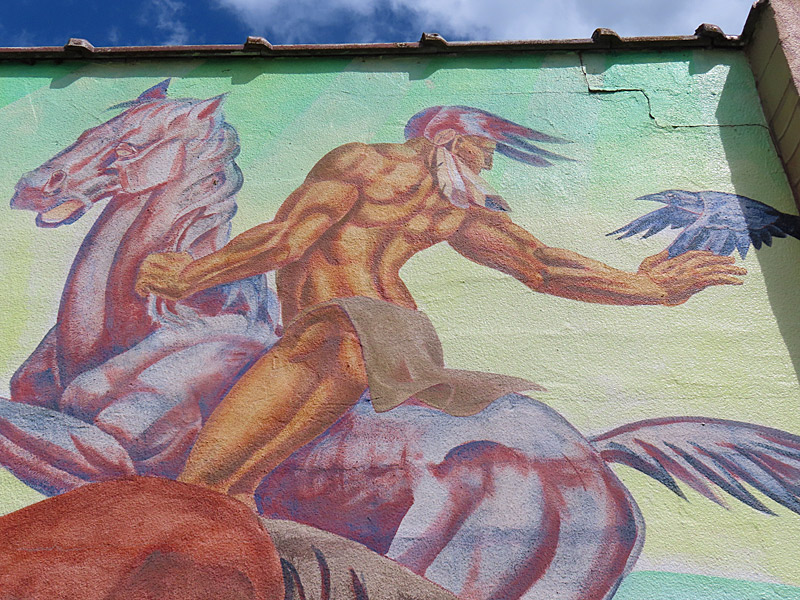
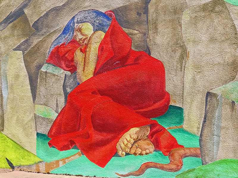
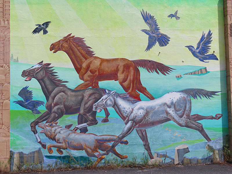
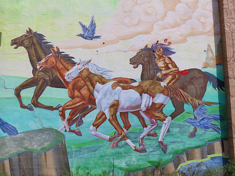
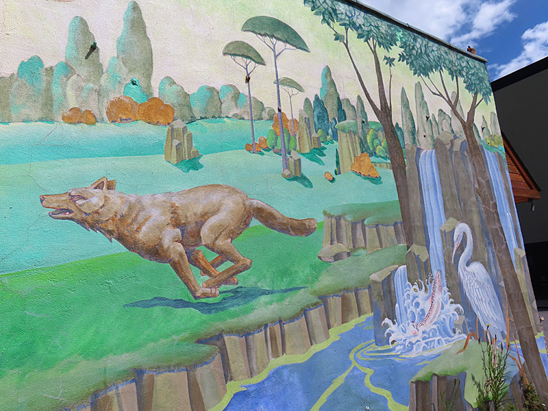
I found this large mural overlooking a parking lot near the corner of 2nd Street and Coeur D’Alene Ave.
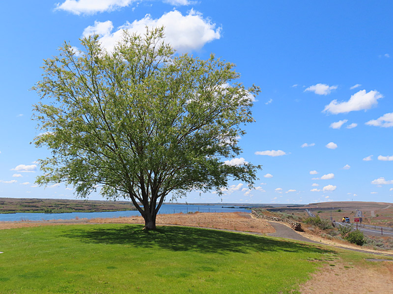
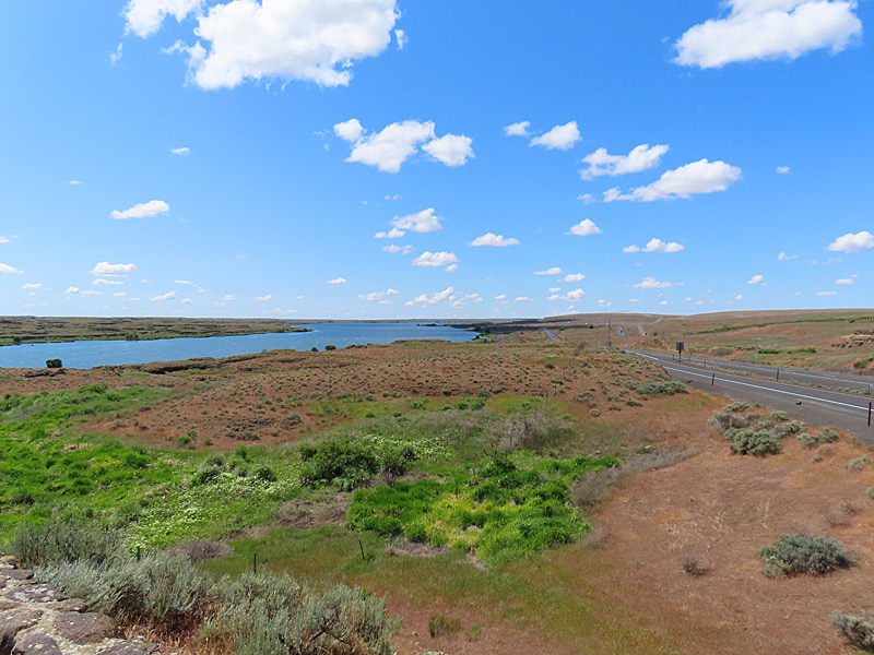
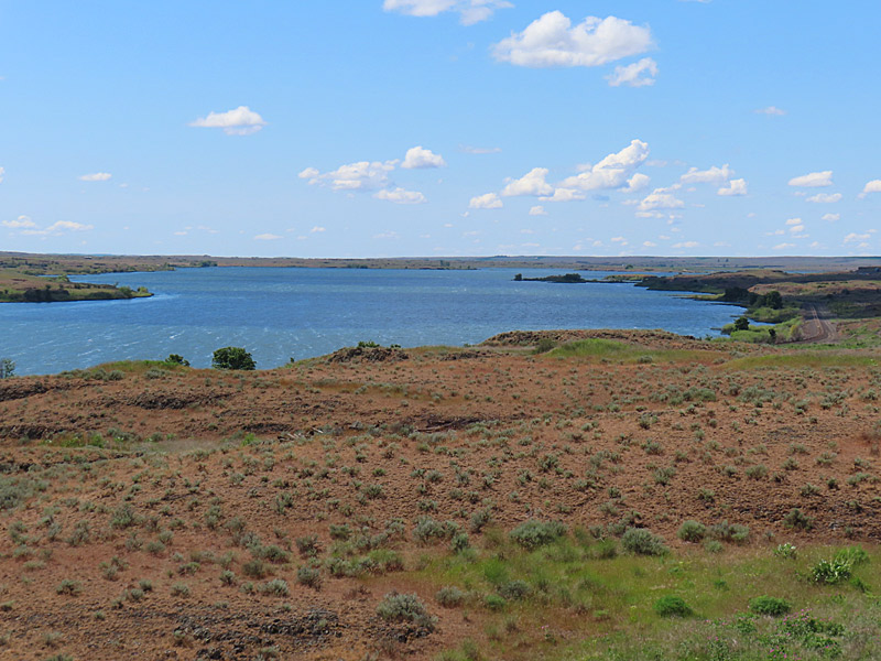
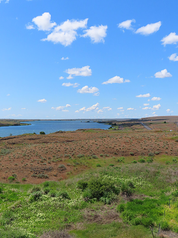
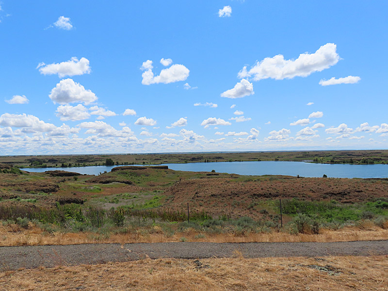
According to the Washington Department of Fish and Wildlife, this is a good place to fish for rainbow trout, largemouth bass, bluegill, brown bullhead and channel catfish.
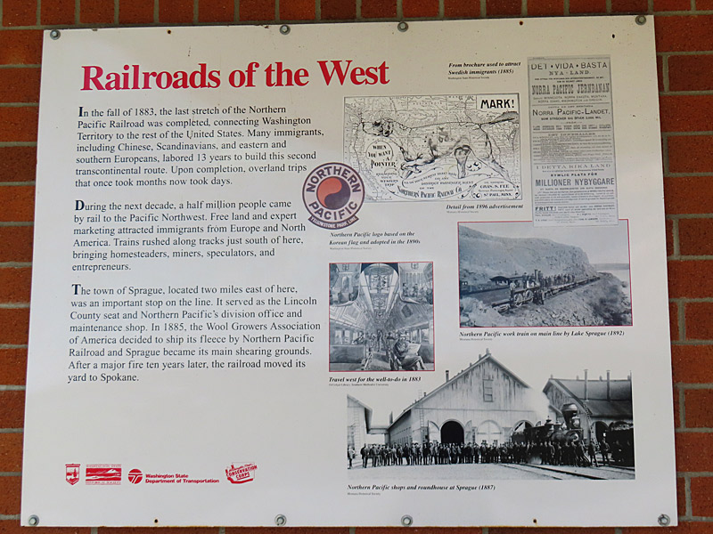
This part of the Washington state wasn’t as scenic as the western half of the state – but there wasn’t a lot of traffic and it was a pleasant drive.
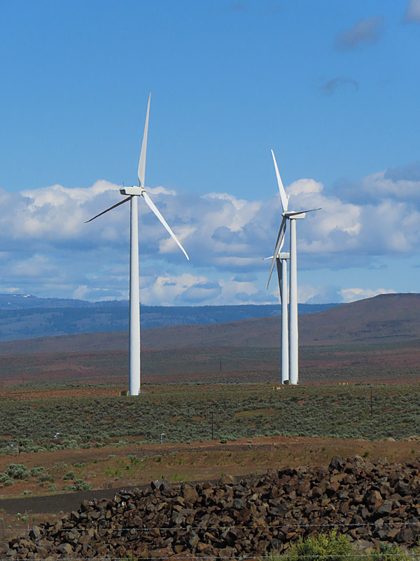
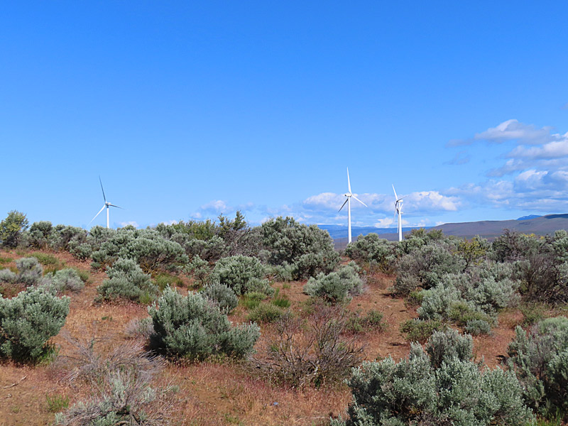
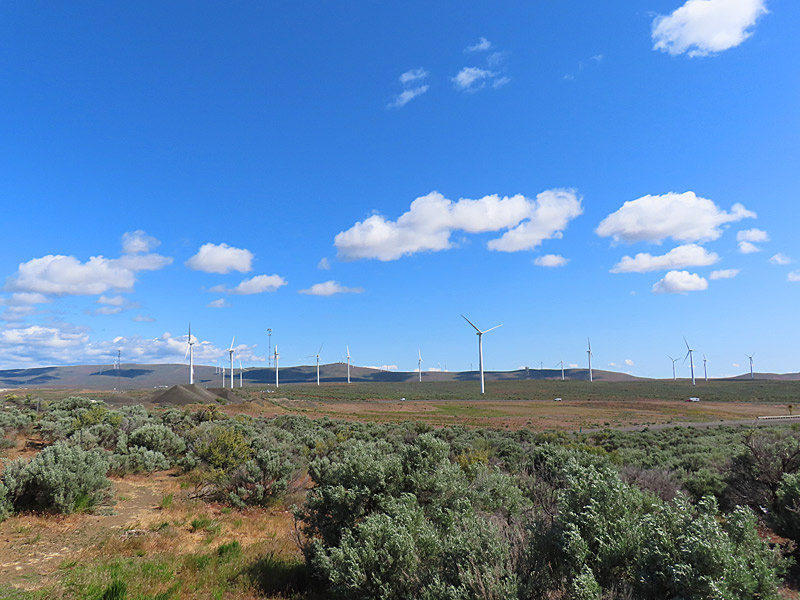
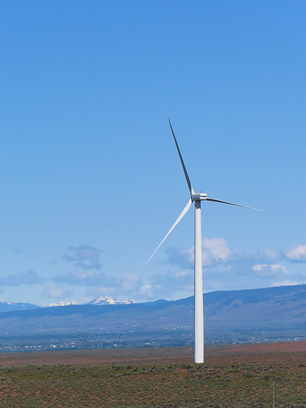
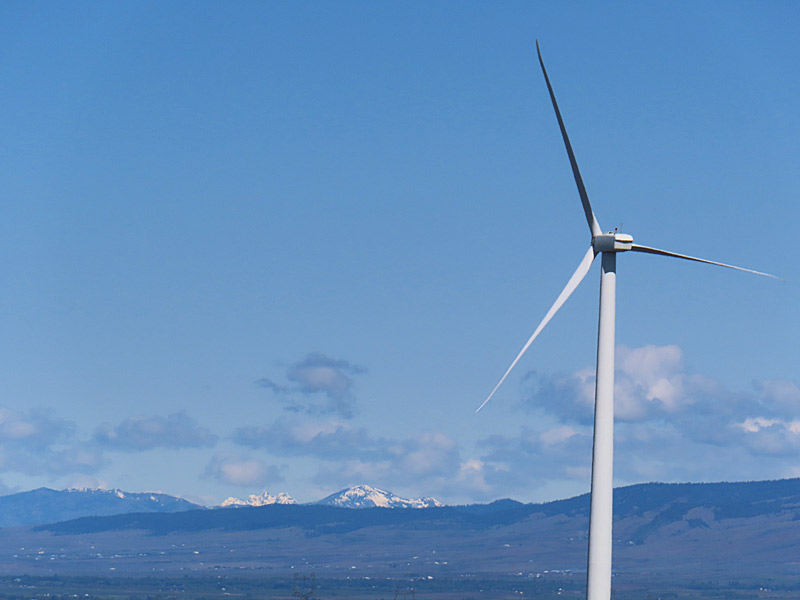
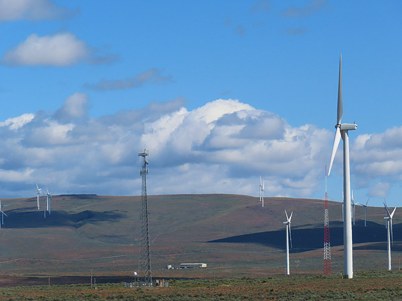
The giant wind turbines that generate electricity in parts of this country don’t have the same kind of character as the windmills I sometimes still see that pump water in rural Texas.
But the contrast between the nearly all white wind turbines set against the terrain and sky can be dramatic.
These were near Interstate 90 and I know I was east of Ellensburg, Washington. Looking at Google Maps, it looks like the PUD Wind Farm and Wild Horse Wind and Solar Facility are in this area.