A pelican hanging out at La Jolla Cove in San Diego, California, in September 2025. – photo by Joe AlexanderThere were plenty of sea birds hanging around La Jolla Cove on this sunny afternoon in September.
You can’t miss the pelicans with their large bodies, long beaks and huge wingspans.
According to Google, La Jolla Cove in San Diego is a regular hangout for California Brown Pelicans. At one time these were endangered, but not anymore.
I stopped by La Jolla Cove on what felt like a perfect day to work on a tan. – photo by Joe AlexanderThe rocky stretch of beach at La Jolla Cove provided an ideal spot for seals and sea lions to enjoy the sun on this sunny September afternoon.
These two images are from the same photo. The closeup is cropped down to give you a better look at what this animal is dealing with. What I planned as a fun stop on my trip served as a reminder of the real impact of pollution. – photo by Joe Alexander
Birds and sea lions take advantage of a sunny afternoon in September at La Jolla Cove in San Diego. – photo by Joe AlexanderLa Jolla Cove is at the northern tip of the La Jolla neighborhood of San Diego, California.
The cove itself includes a small sandy beach, a larger rocky beach front and a cave. It is part of a marine reserve.
The cove area is a popular hangout for sea lions, aquatic birds and tourists.
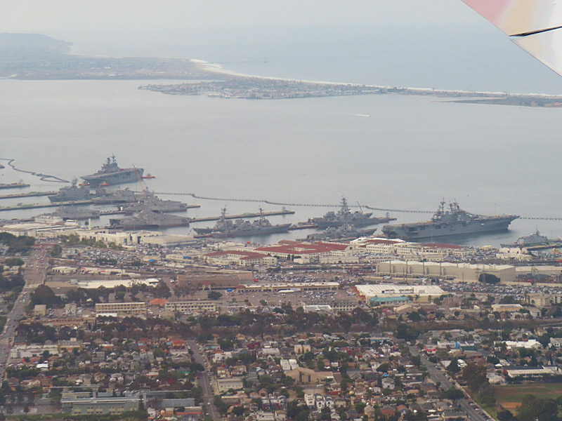
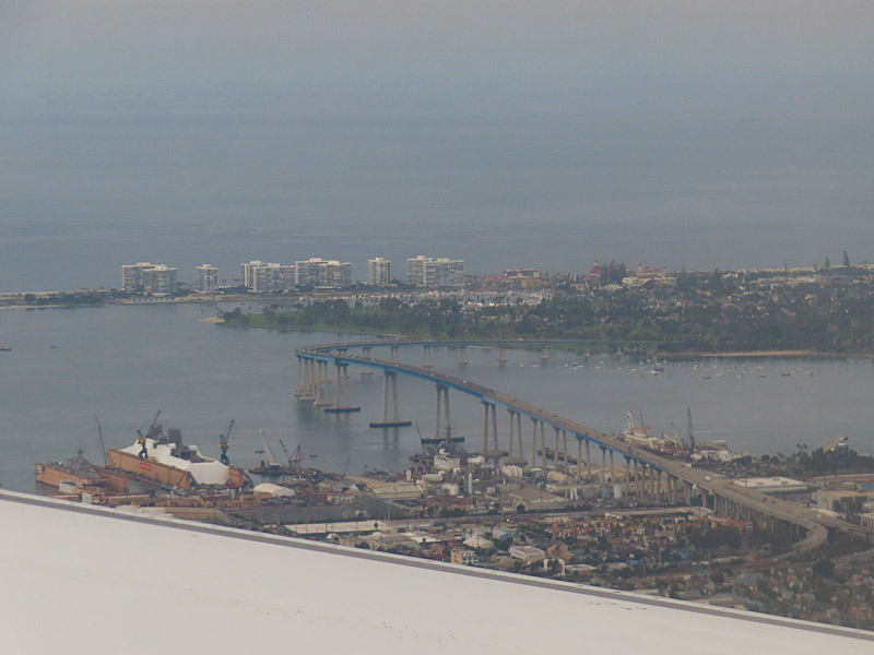
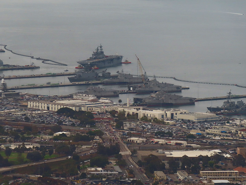
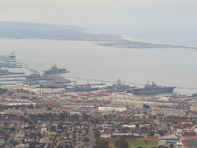
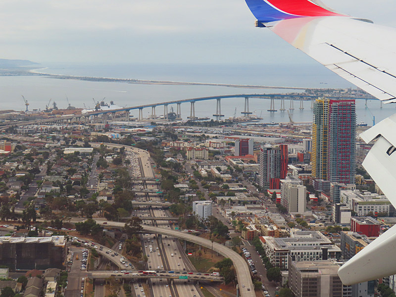
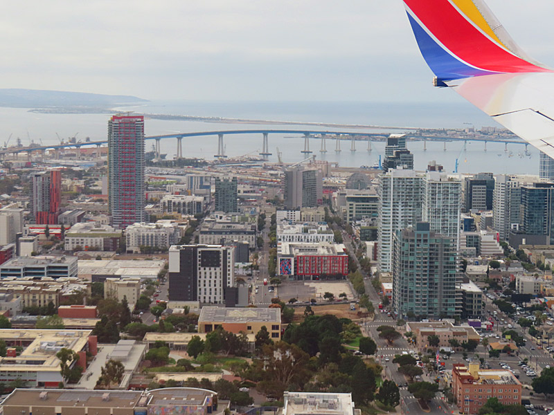
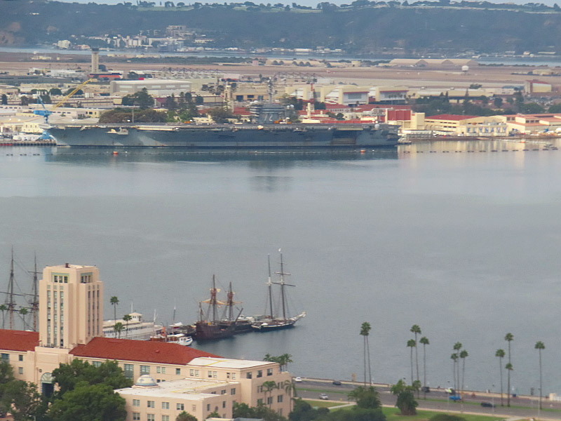
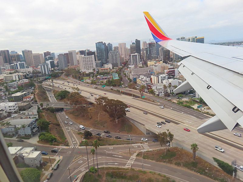
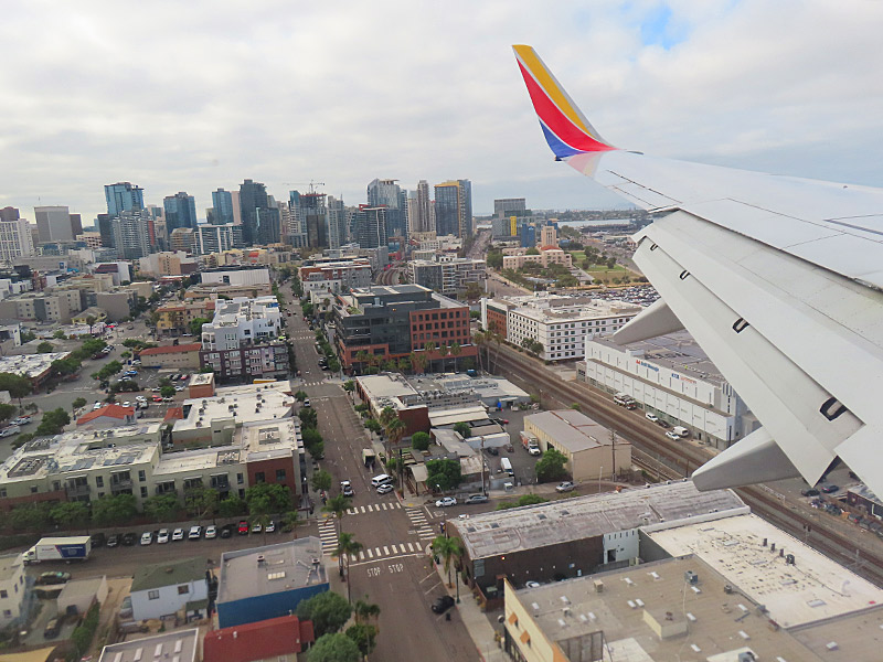
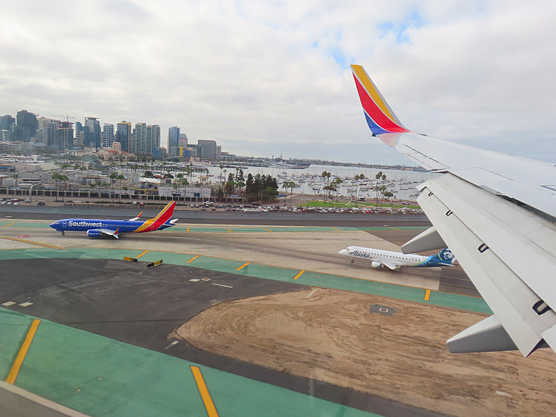
Landing at San Diego International Airport. – photo by Joe AlexanderThe main runway at the San Diego International Airport runs roughly east and west. The airport itself is just off Interstate 5 and northwest of downtown.
Moments before landing from the east, I got a good look at downtown, San Diego Bay, the Coronado Bridge, a number of naval ships and we came in right over Interstate 5.
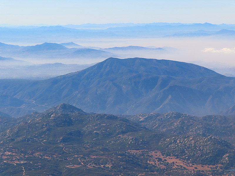
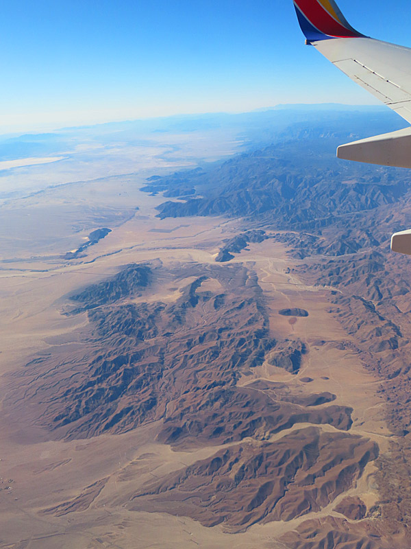
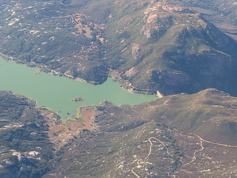
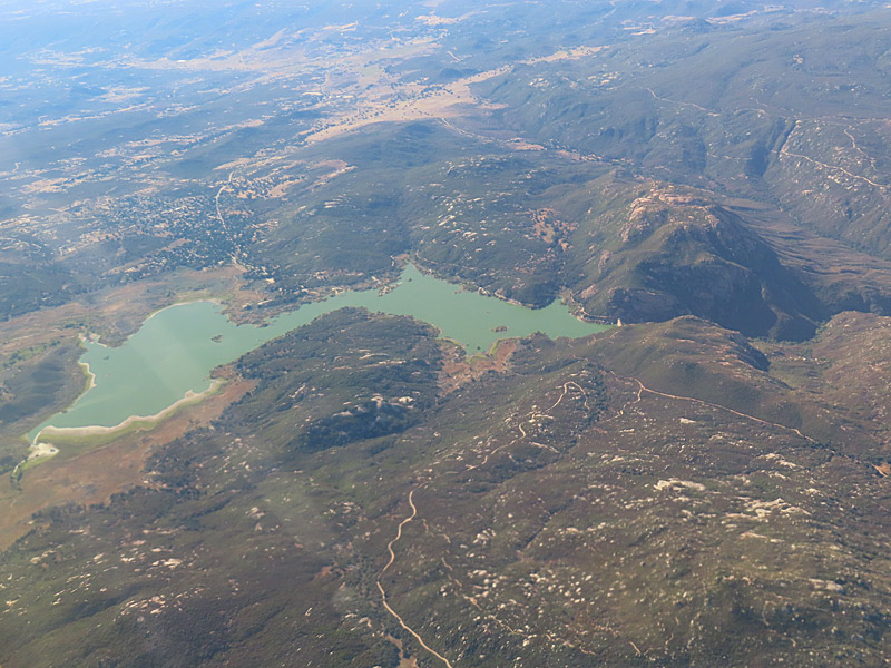
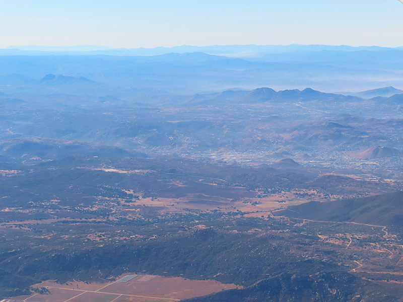
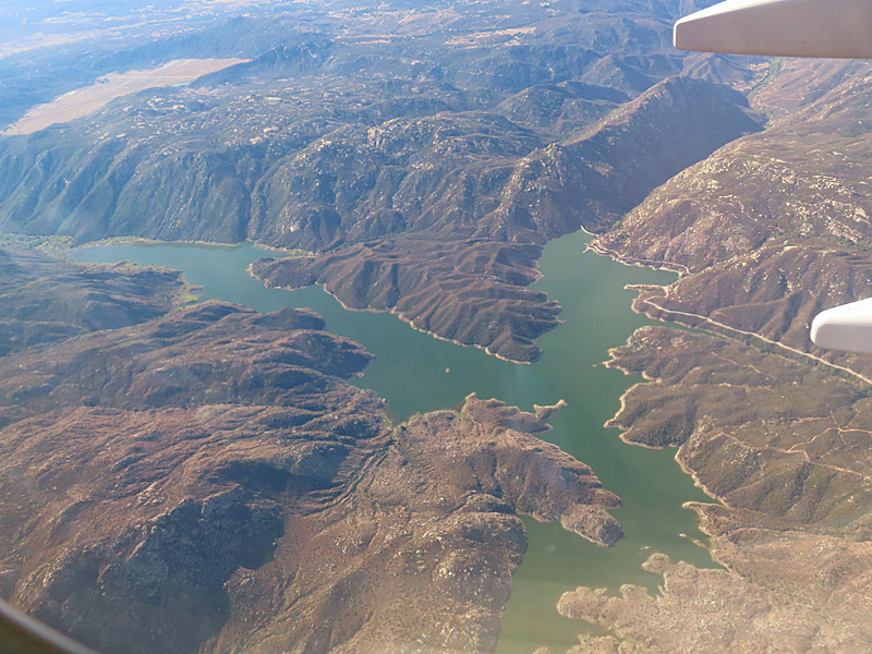
View towards the U.S.-Mexico border while flying into southern California. – photo by Joe AlexanderComing in to southern California from the east, I figured the last stretch of my flight was probably about parallel to the U.S.-Mexico border.
I was sitting on the left side of the plane. That gave me a good view of the south toward Mexico.
Not long before landing, I could see the desert, some mountains in the direction of Mexico and a couple of reservoirs that I wasn’t able to identify.
I’m guessing the dry looking areas I saw were part of the Sonoran Desert including the Colorado Desert. I might have even seen a little bit of the Anza-Borrego Desert State Park.
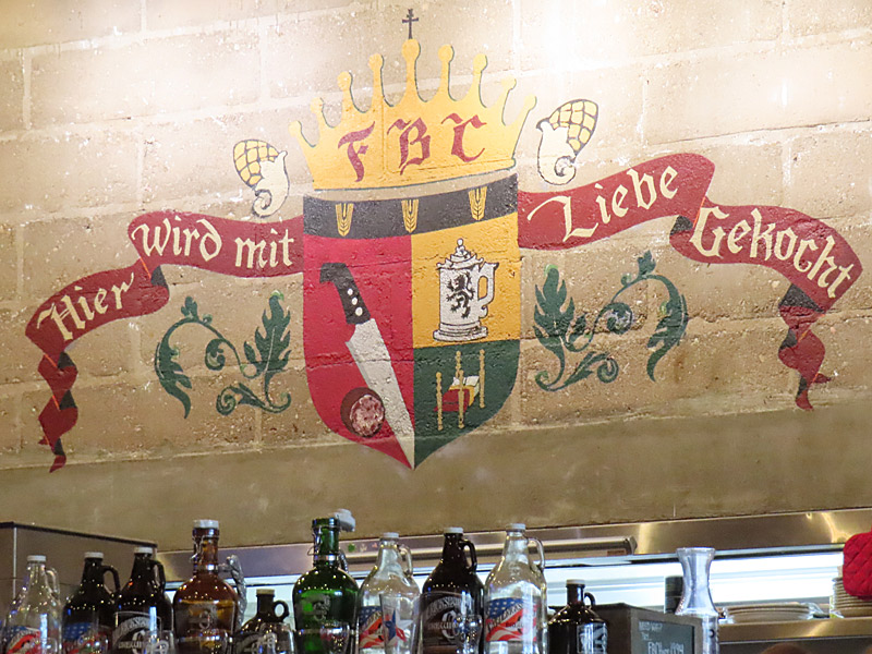
Fredericksburg Brewing Company on Main Street in historic downtown Fredericksburg, Texas. – photo by Joe AlexanderI made a drive through part of the Texas Hill Country up to Fredericksburg for lunch on Tuesday.
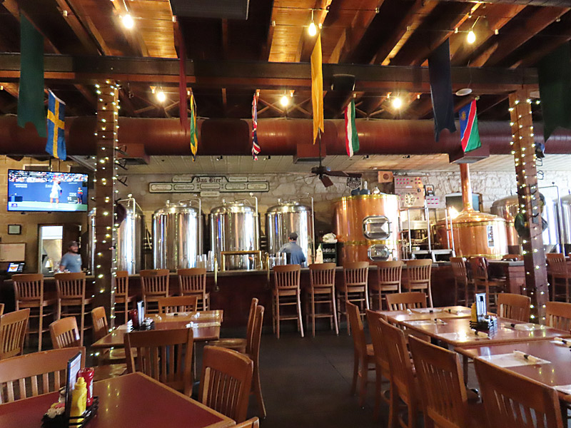
I stopped in at the Fredericksburg Brewing Company, the oldest operating brew pub in Texas.
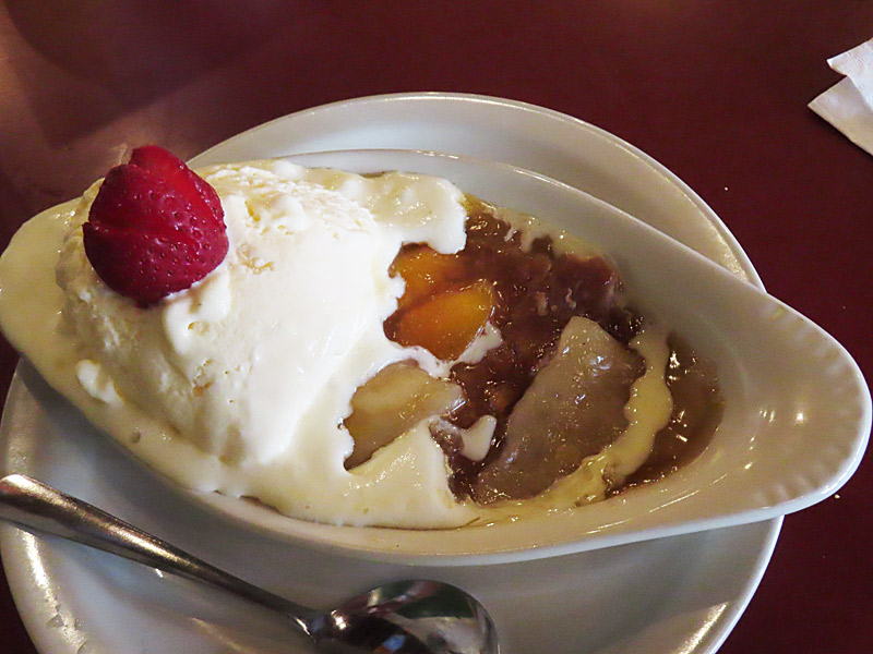
You know you’re in Fredericksburg when the restaurant not only makes its own beer, but also made from scratch peach cobbler.
“Hier Wird mit Liebe Gekocht” means “cooking with love here”.
You can see where the beer comes from as you drink and dine at Fredericksburg Brewing Company.Fredericksburg is known for its peaches – so you can count on the peach cobbler at Fredericksburg Brewing Company.
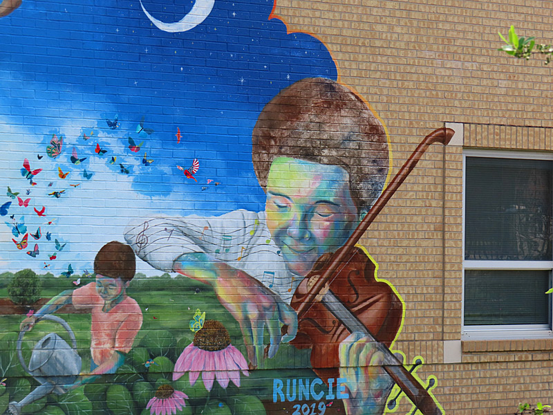
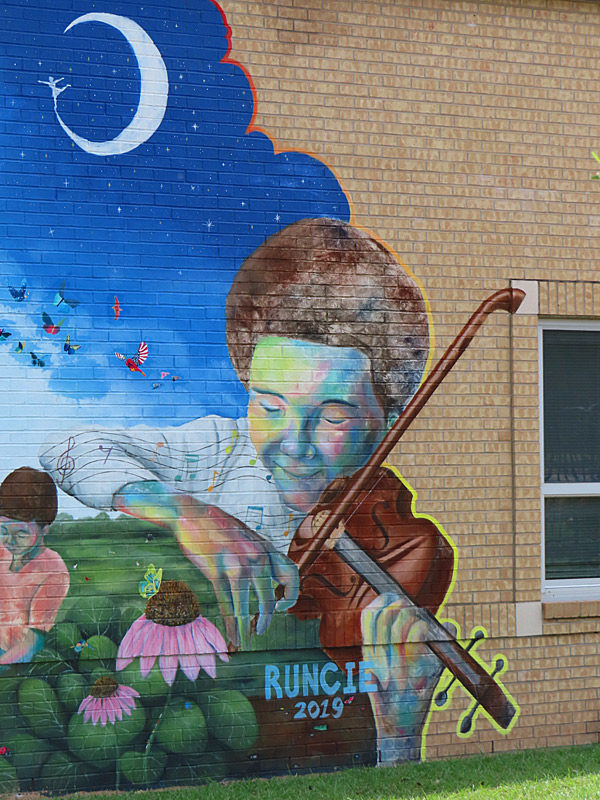
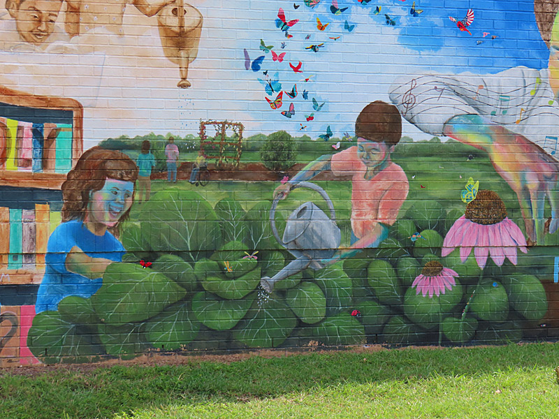
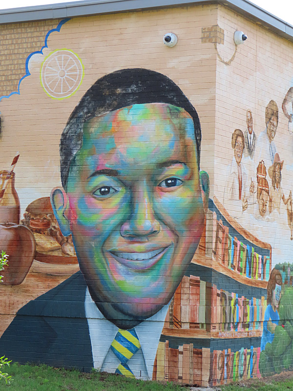
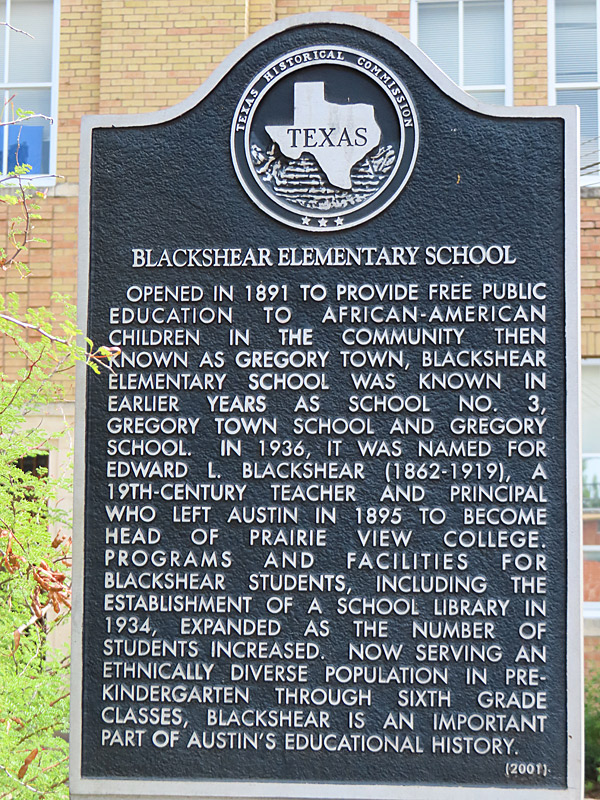
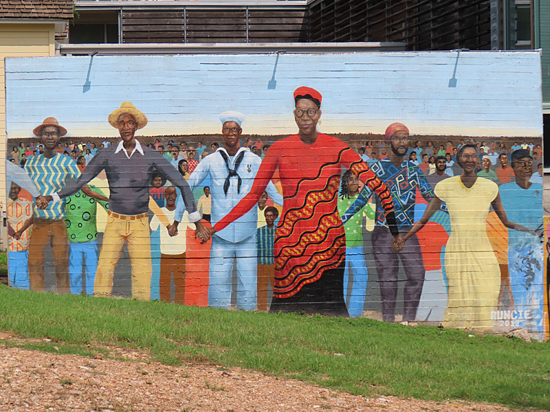
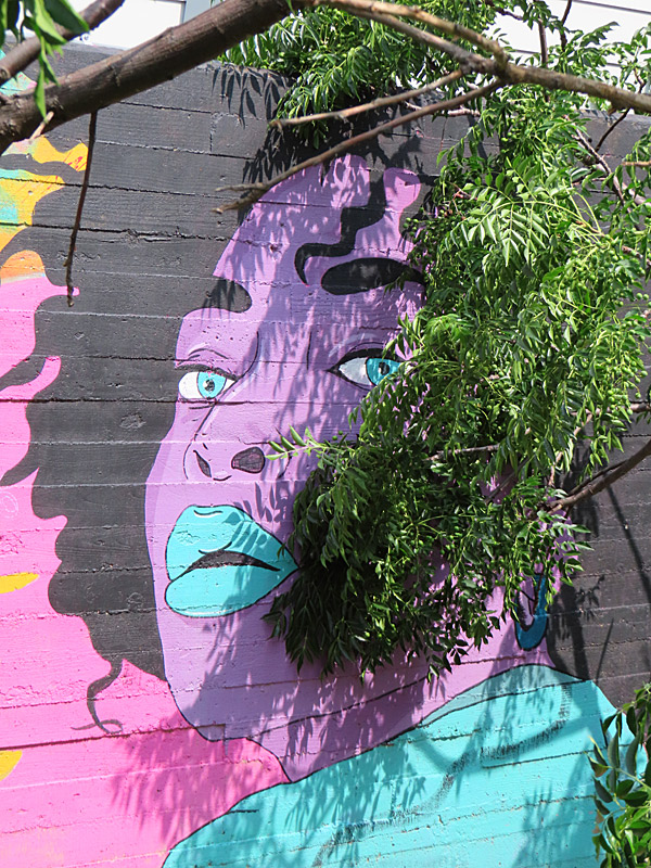
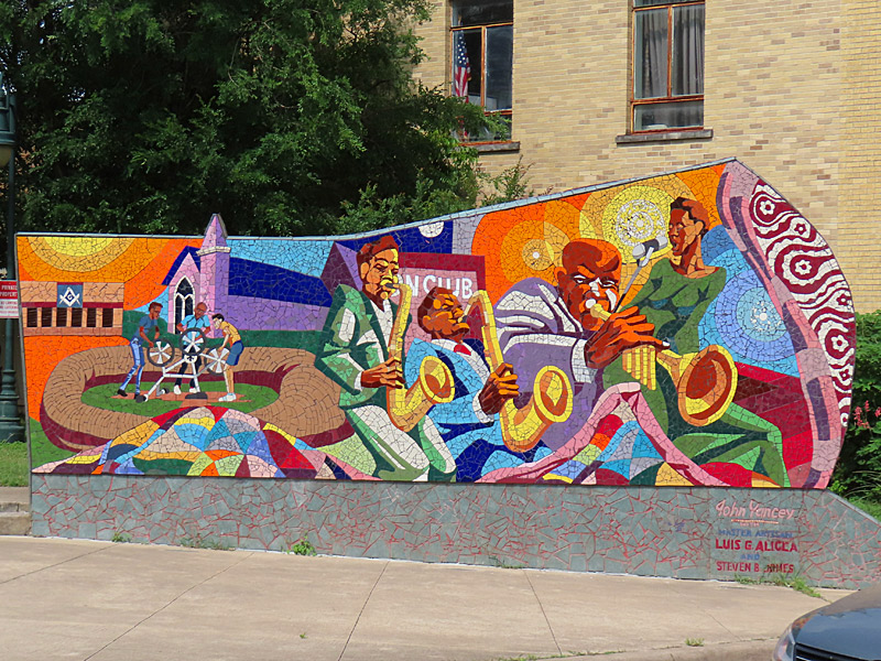
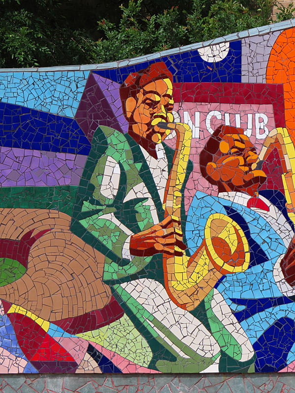
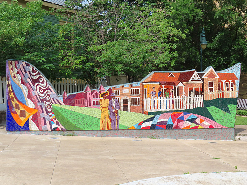
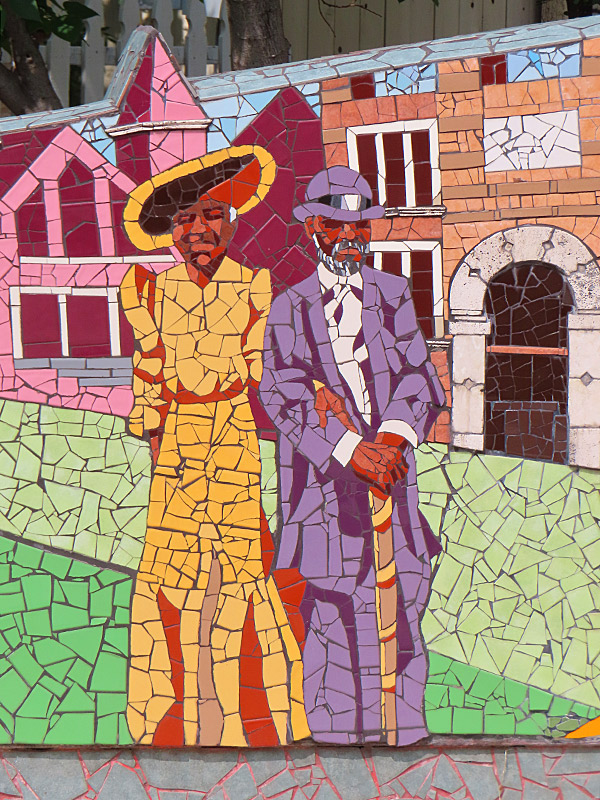
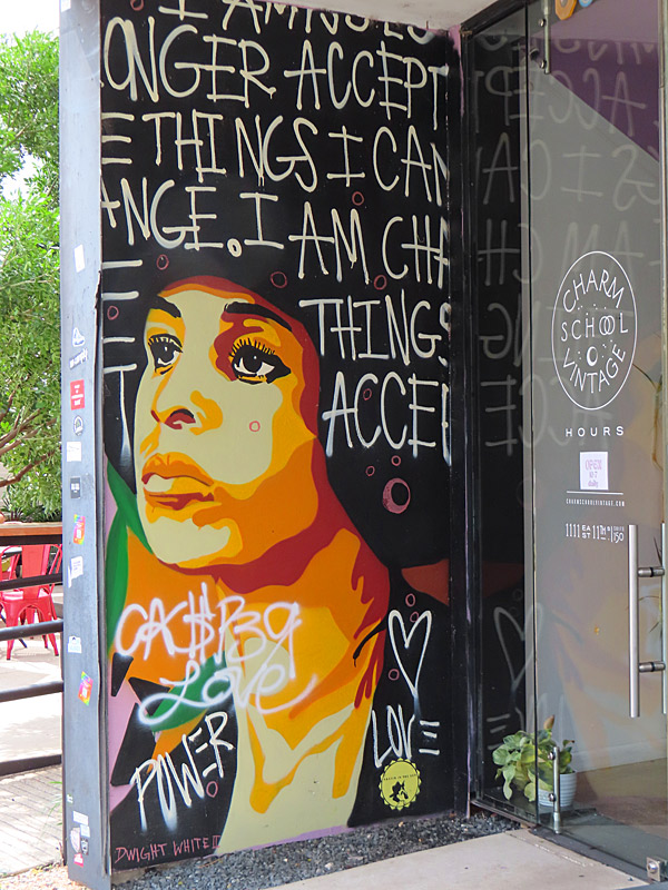
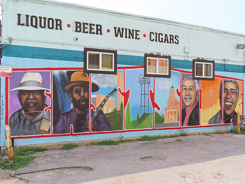
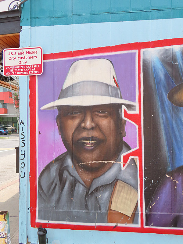
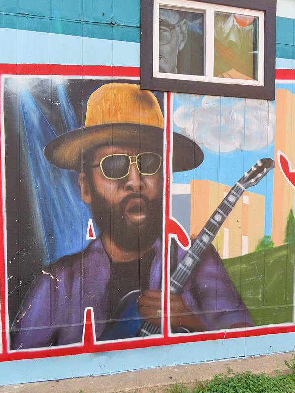
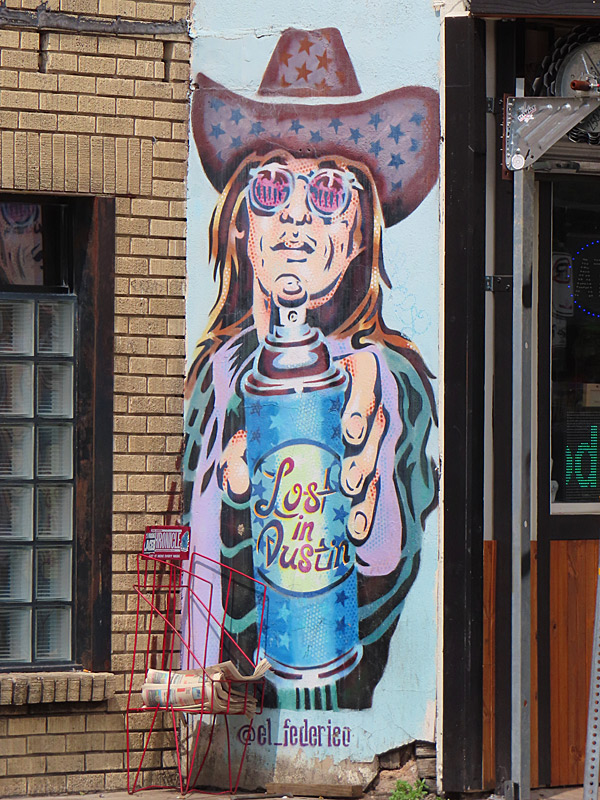
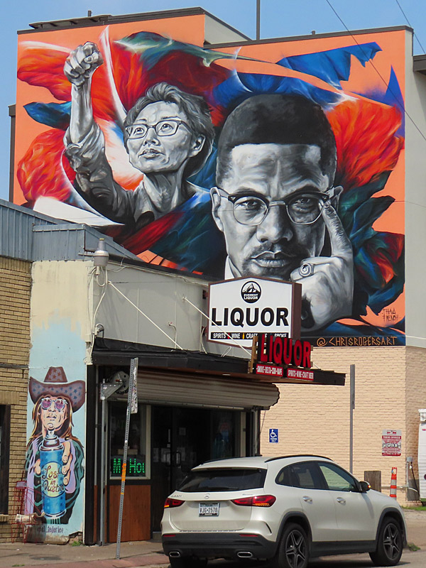
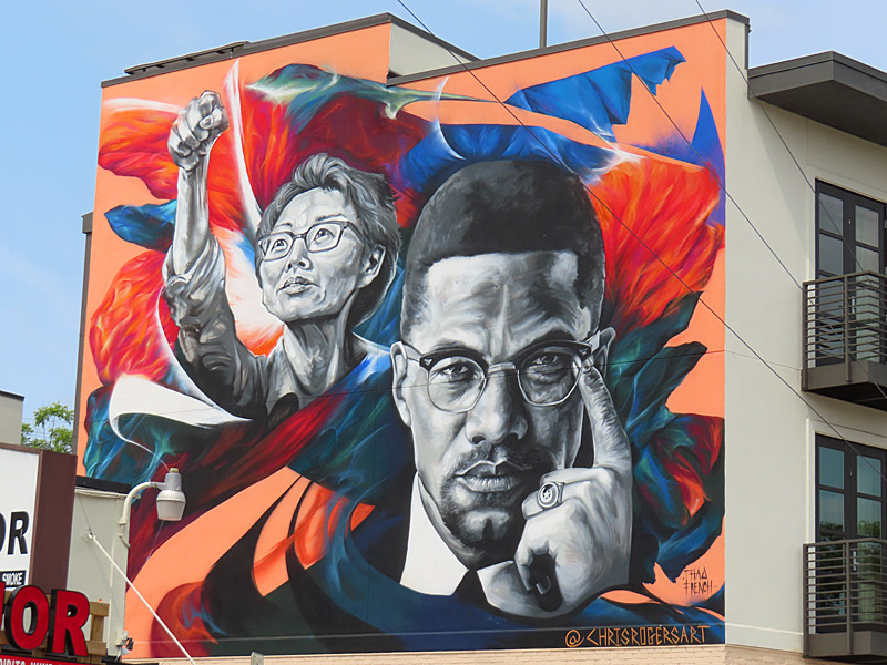
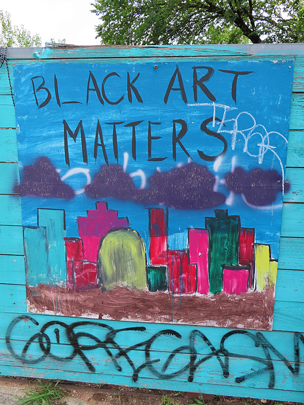
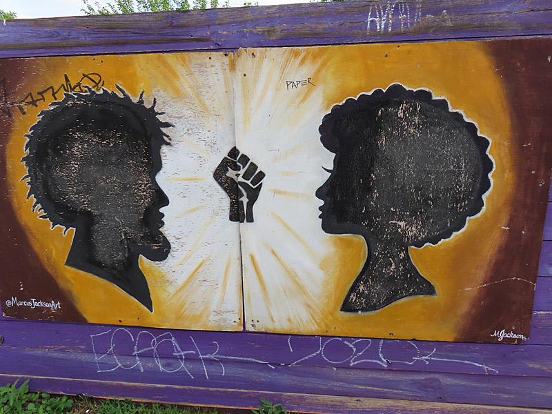
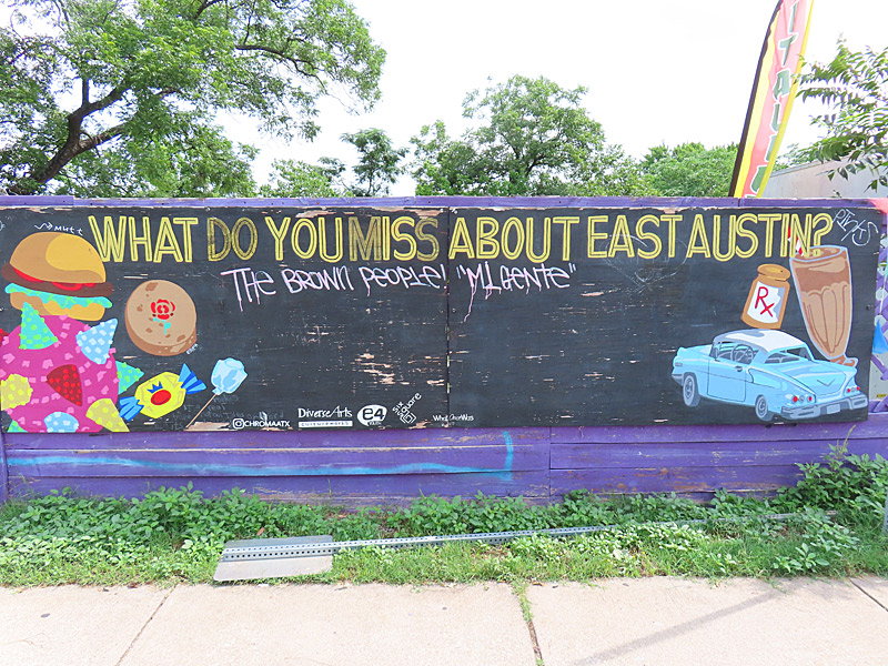
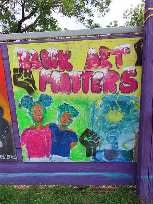
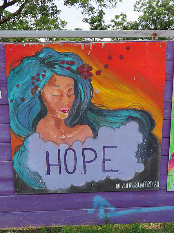
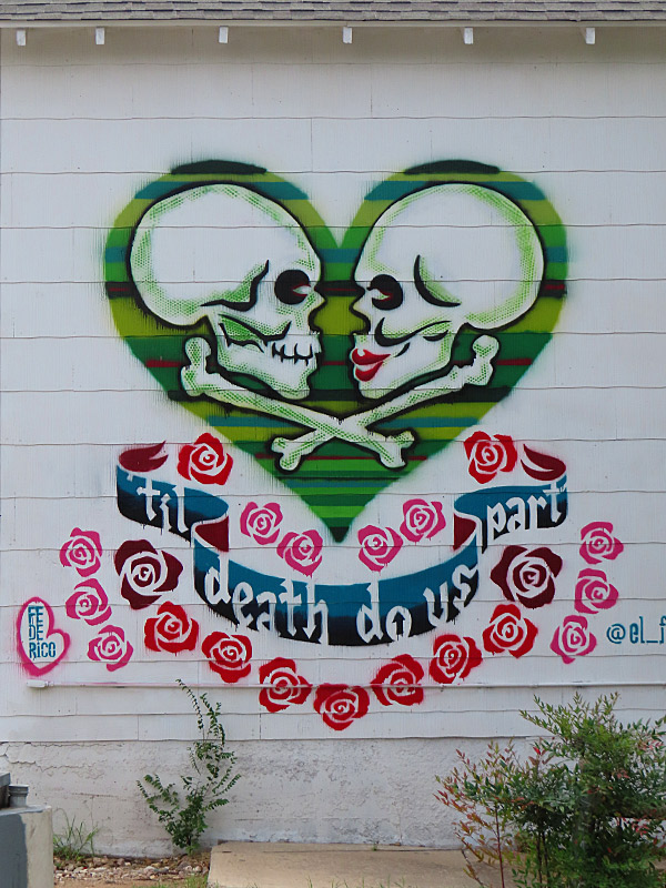
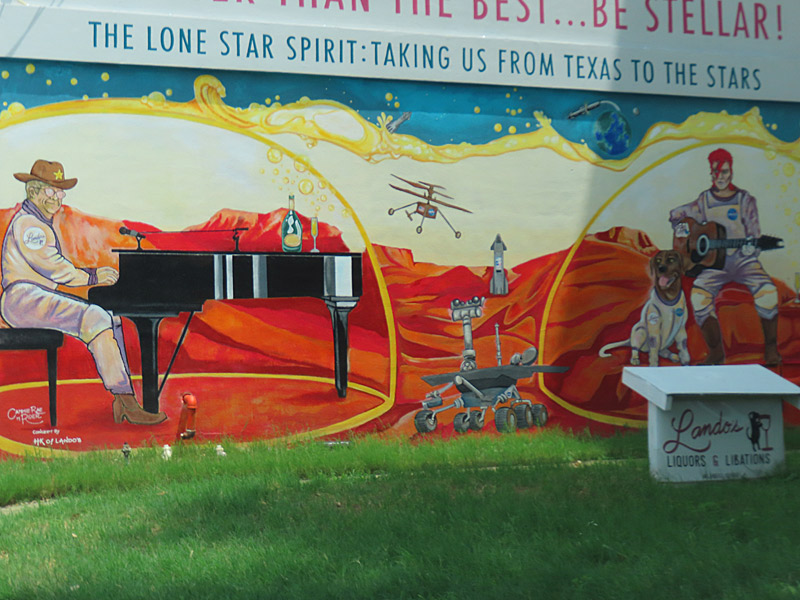
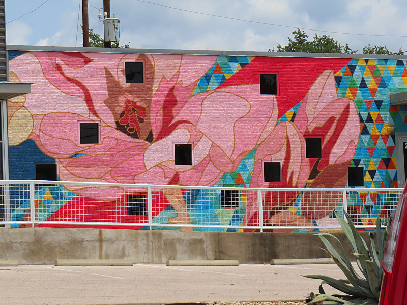
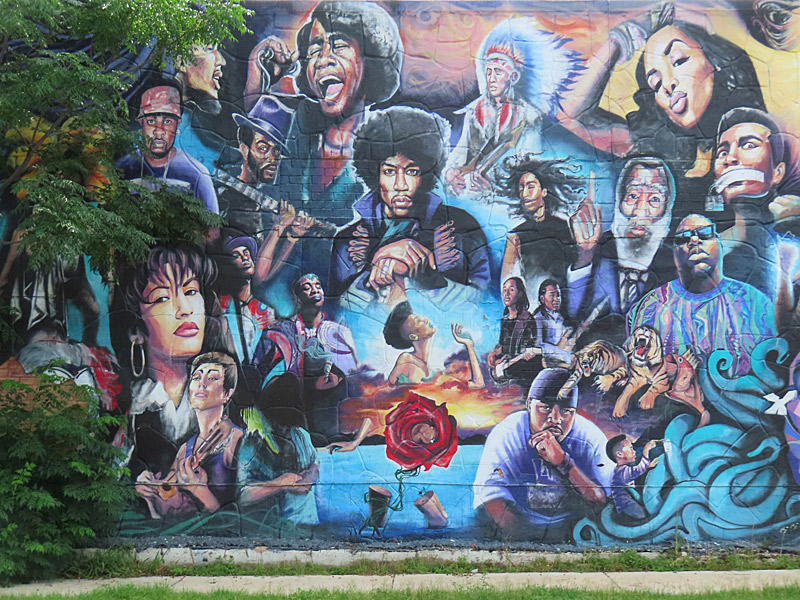
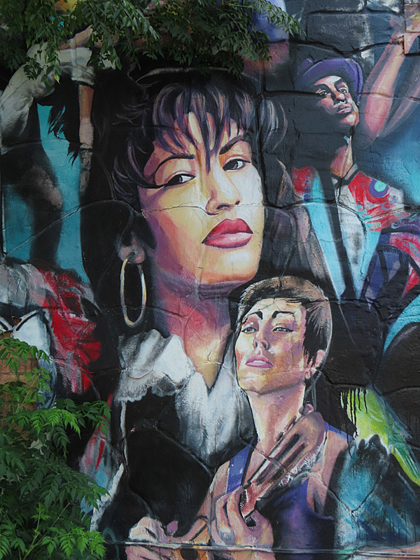
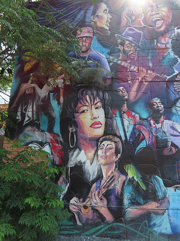
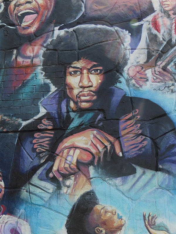
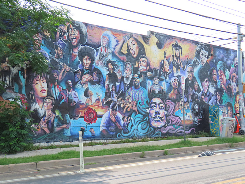
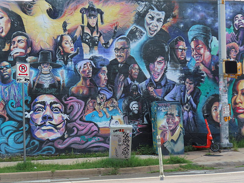
Mural at historic Blackshear Elementary School on 11th Street on the east side of Austin, Texas.I spent part of a recent morning looking for some of the murals and other public art on the east side of Austin, Texas.
All of the art work here is on or south of 11th street and east of Interstate 35.
Blackshear Elementary School – Austin
Blackshear Elementary School – Austin
Blackshear Elementary School – Austin
Blackshear Elementary School – Austin
Mural – Austin’s east side
Mural – Austin’s east side
Mural – Austin’s east side
Mural – Austin’s east side
Mural – Austin’s east side
Mural – Austin’s east side
Mural – Austin’s east side
Mural – Austin’s east side
Mural – Austin’s east side
Mural – Austin’s east side
Mural – Austin’s east side
Mural – Austin’s east side
Mural – Austin’s east side
Mural – Austin’s east side
Mural – Austin’s east side
Mural – Austin’s east side
Mural – Austin’s east side
Mural – Austin’s east side
Mural – Austin’s east side
Mural – Austin’s east side
Mural – Austin’s east side
Mural – Austin’s east side
Mural – Austin’s east side
Public art on the east side of Austin, Texas, celebrates the city’s musical heritage.
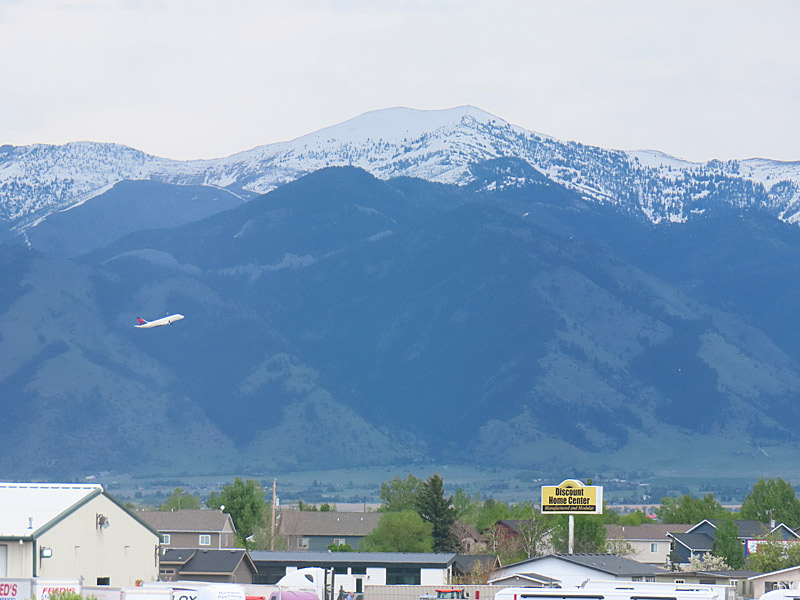
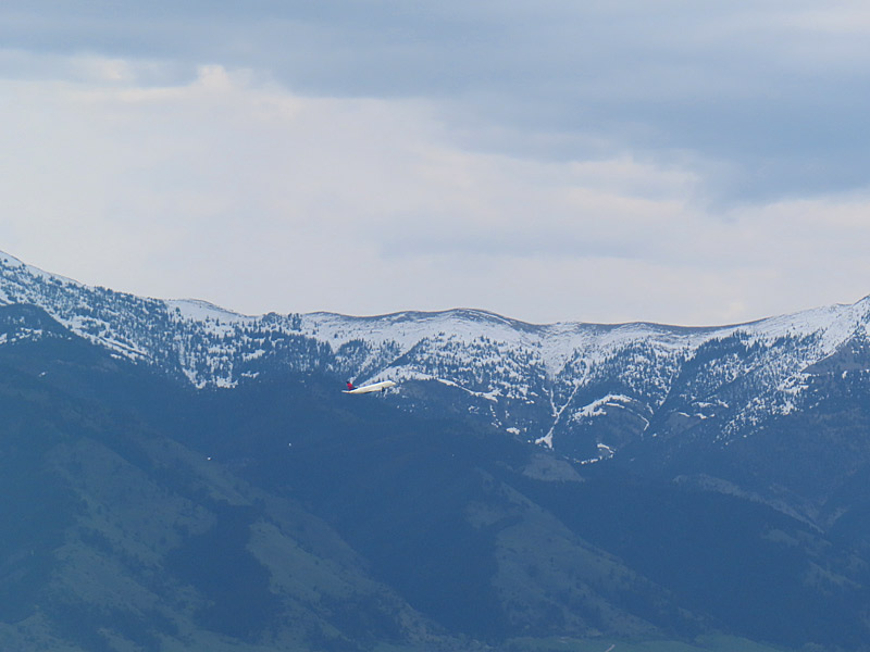
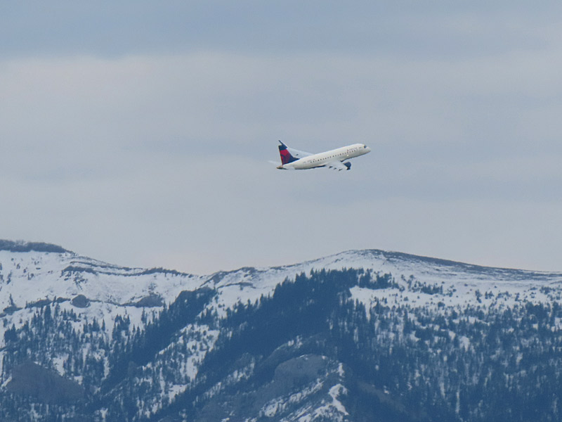
A plane takes off from Bozeman Yellowstone International Airport in Montana. – photo by Joe AlexanderMy hotel was about a mile from the Bozeman Yellowstone International Airport.
The afternoon before I headed home, I was killing time at the hotel as I saw a plane that had just taken off was ascending to the east with the mountains in the background.
About 24 hours later, I would be making a similar departure.
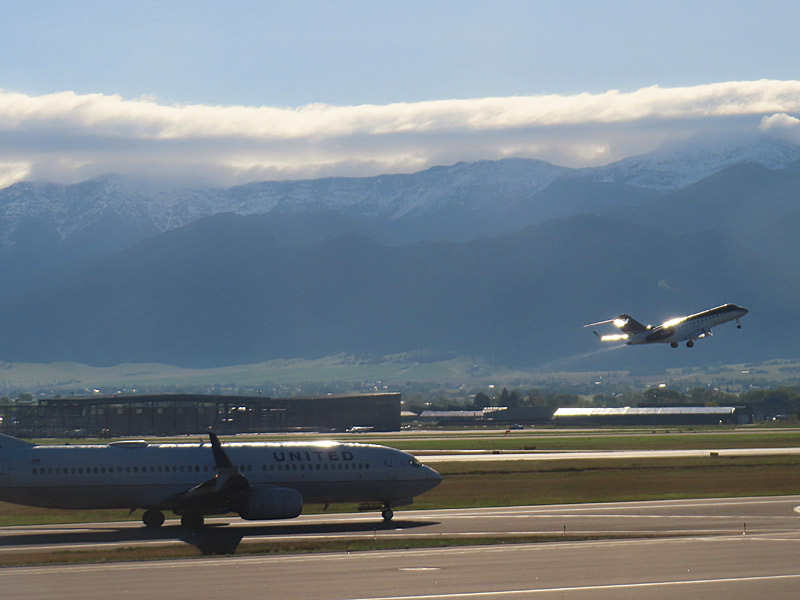
A plane takes off from Bozeman Yellowstone International Airport in Montana. A plane takes off from Bozeman Yellowstone International Airport in Montana.
The day I headed home, I ended up spending a few extra hours at the airport due to airline issues. (That’s a whole other story). So naturally I took a few more photos. Fortunately, the concourse has lot of really big windows.
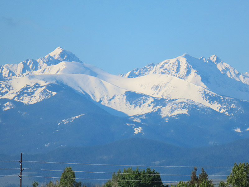
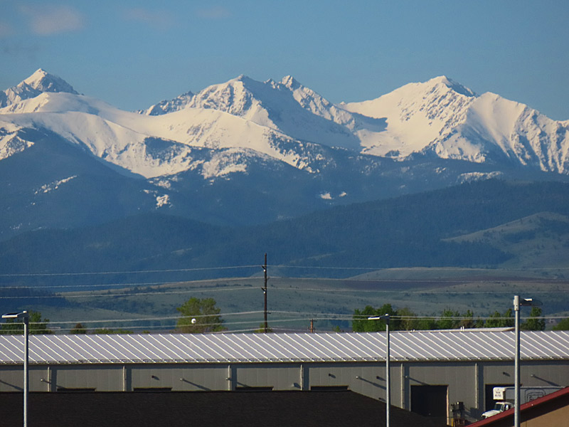
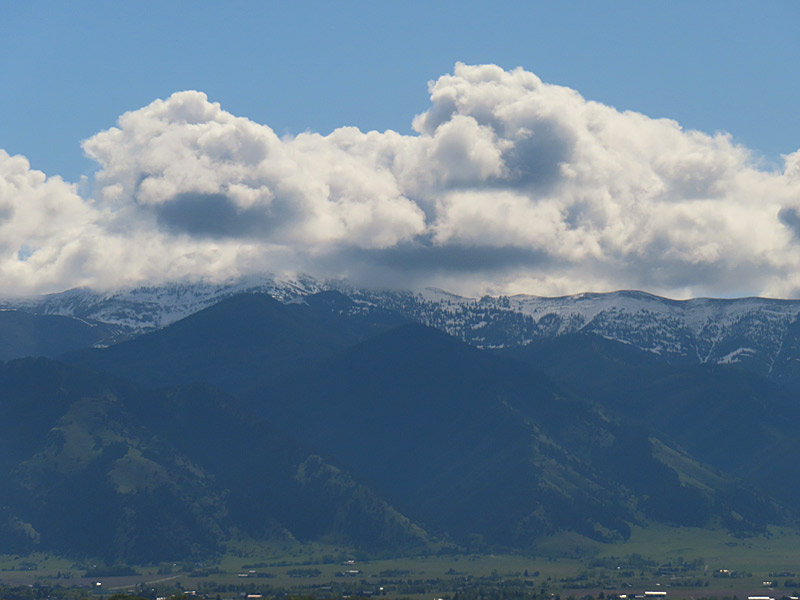
You can see the Bridger Range as you look to the north. Those are the mountains in the background as the planes take off. To the south and southeast is the Gallatin Range. Both the mountains to the north and south of Bozeman are part of a cluster of six mountain ranges that make up the Gallatin National Forest The mountains of the Bridger Range, part of the Gallatin National Forest, as seen from Bozeman Yellowstone International Airport.
The mountains of the Bridger Range, part of the Gallatin National Forest, as seen from Bozeman Yellowstone International Airport.The mountains of the Bridger Range, part of the Gallatin National Forest, as seen from Bozeman Yellowstone International Airport.I believe this is the Gallatin Range, as seen from Bozeman Yellowstone International Airport.
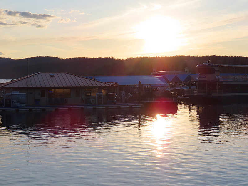
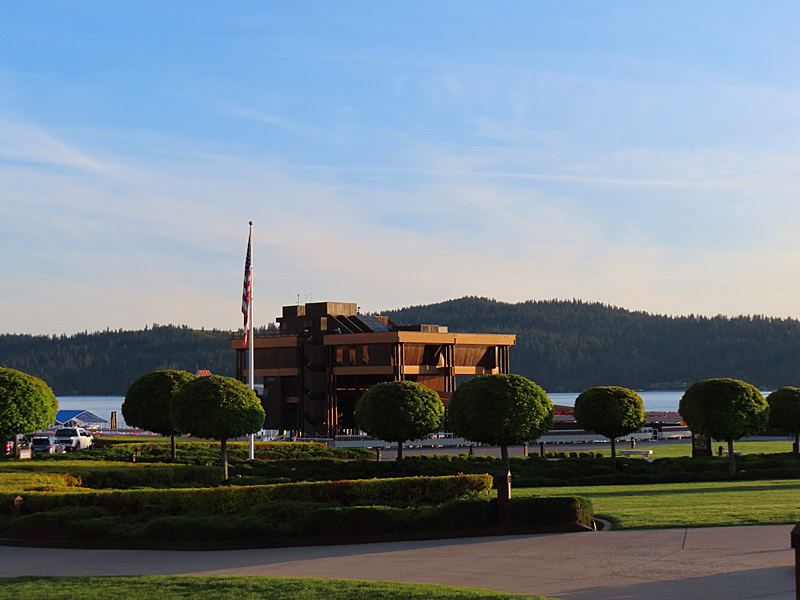
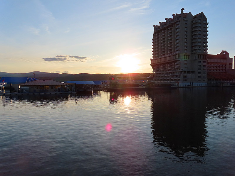
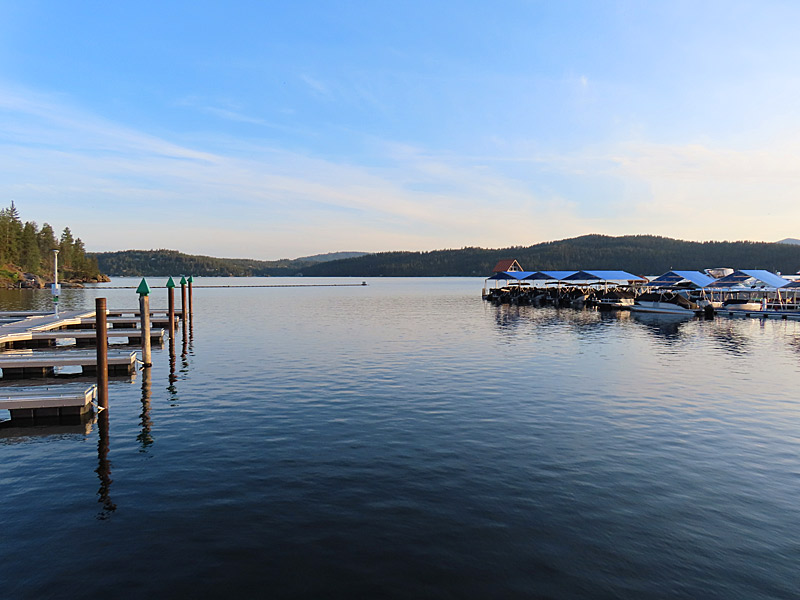
Lake Coeur D’Alene, Idaho in the late afternoon in May. – photo by Joe AlexanderI spent part of an afternoon along the edge of Lake Coeur D’Alene that is near the downtown.
I didn’t have a perfect angle to photograph the sunset on the water, but it was a pretty place that was an easy walk from the downtown shops and restaurants.
I was here is the third week of May, but I have a feeling this could be a pretty happening area in the summer.
As a sidenote, I don’t think I have ever seen as many T-shirts and other swag with Bigfoot on them as I did in the shops in Coeur D’Alene. He seems to be very popular (or at least profitable) here.
Lake Coeur D’Alene, Idaho
Lake Coeur D’Alene, Idaho
Lake Coeur D’Alene, Idaho
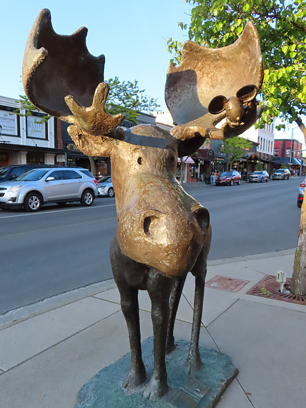
This friendly looking moose wasn’t right on the lakefront in Coeur D’Alene, Idaho, but he was only about a block away and looked like he wanted his picture taken.